The best road cycling routes around Mcfarland
4.3
(88)
3,173
riders
129
rides
Road cycling around Mcfarland, Wisconsin, features a landscape characterized by extensive park systems, conservancy areas, and scenic waterways. The region offers a blend of well-maintained paved surfaces and access to larger regional trail networks. Cyclists can expect routes that incorporate views of Lake Waubesa and the Lower Yahara River, alongside sections of the Capital City State Trail. Terrain generally includes mostly paved surfaces with some routes offering moderate elevation changes.
Best road cycling routes around Mcfarland
- The most popular road…
Last updated: October 5, 2026
71
riders
42.5km
02:01
170m
170m
Moderate road ride. Good fitness required. Some segments of this route may be unpaved and difficult to ride.
41
riders
Moderate road ride. Great for any fitness level. Some segments of this route may be unpaved and difficult to ride.

17
riders
42.6km
01:58
220m
220m
Moderate road ride. Great for any fitness level. Some segments of this route may be unpaved and difficult to ride.
4.8
(6)
24
riders
Easy road ride. Great for any fitness level. Mostly well-paved surfaces and easy to ride.
13
riders
24.3km
01:11
90m
90m
Easy road ride. Great for any fitness level. Mostly well-paved surfaces and easy to ride.
Get access to more routes and recommendations from other explorers.
Already have an account?
Our route recommendations are based on thousands of hikes, rides, and runs completed by other people on komoot.
Start today with a free account
Your next adventure awaits.


Tips from the Community

The first bike counter I saw was in Oklahoma City. This one has a cool meter to it.
1
0

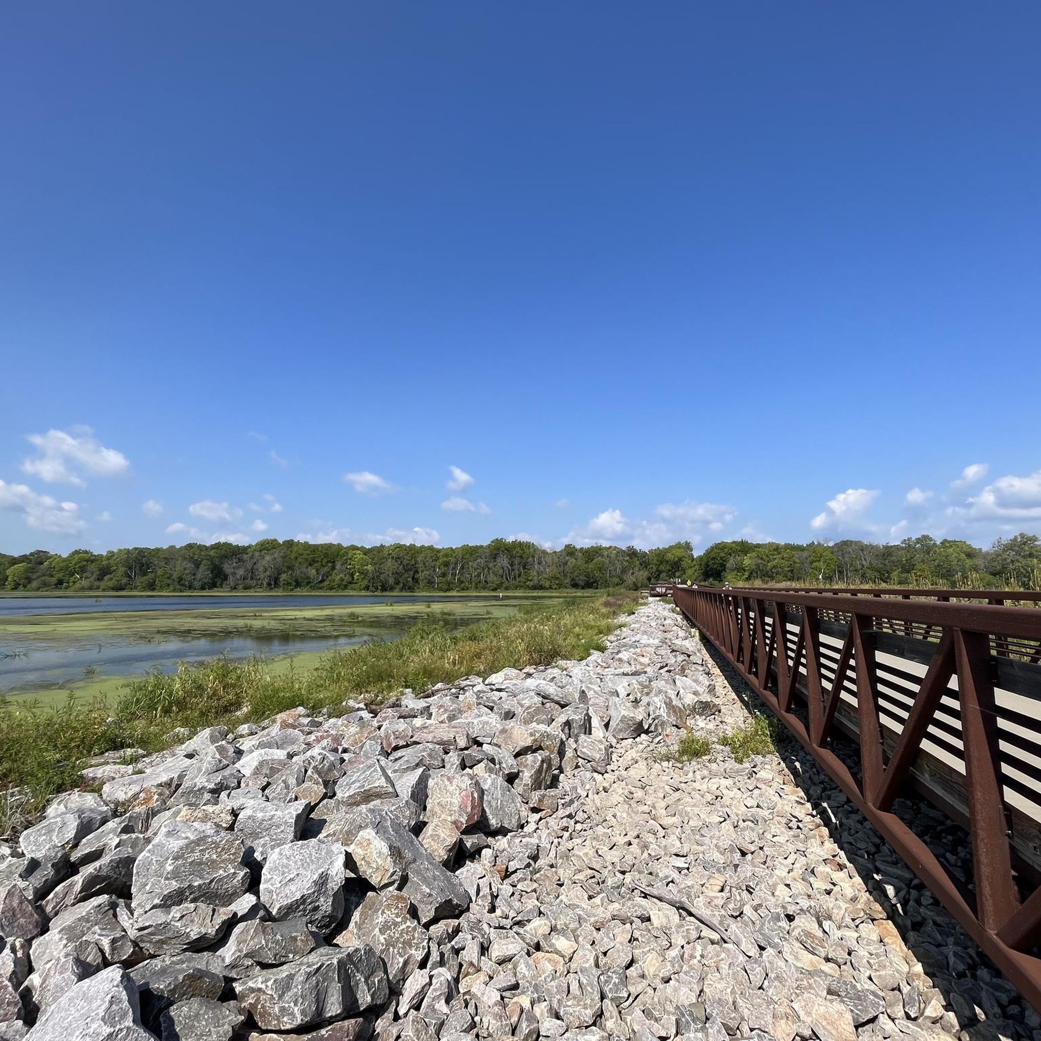
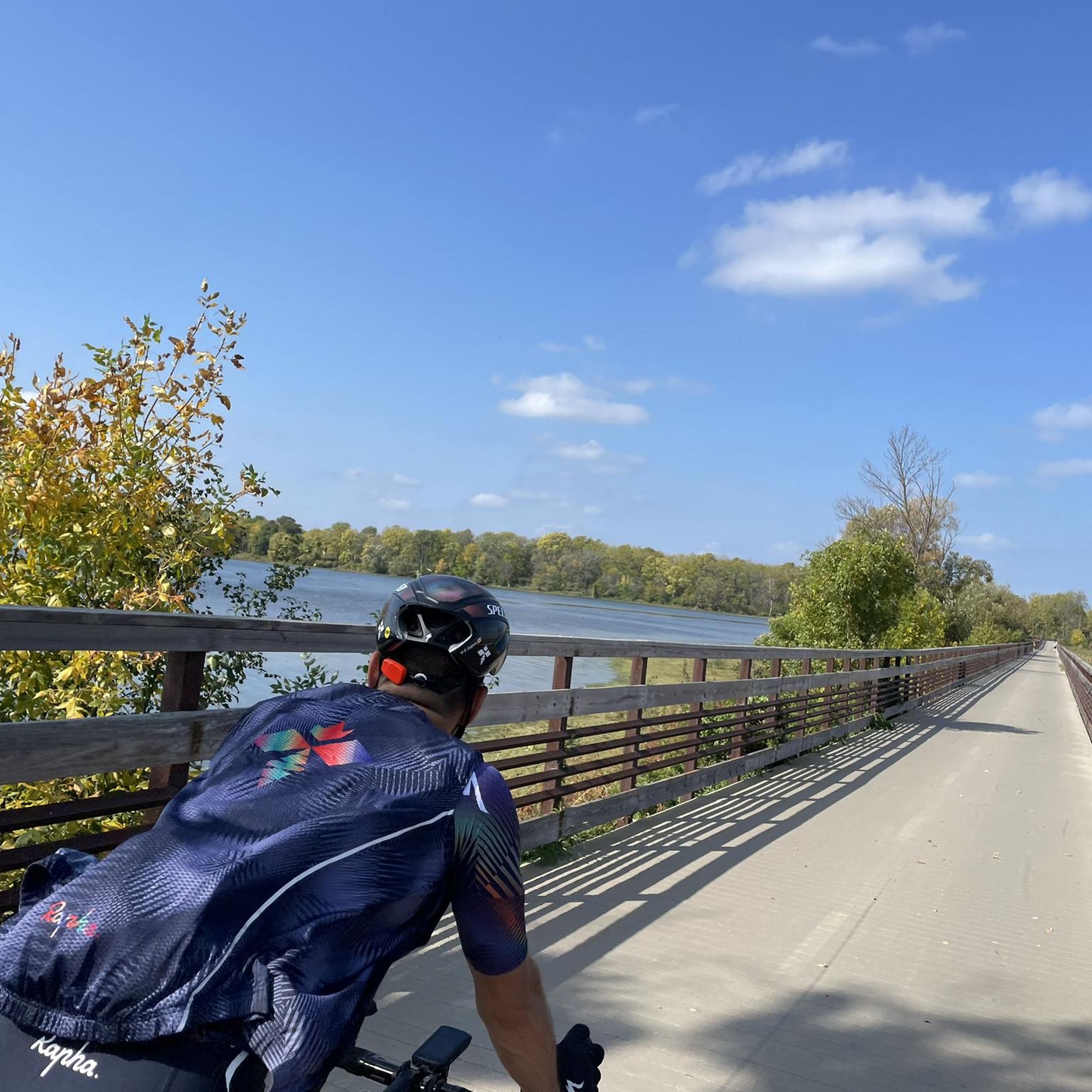
The Capital City State Trail is a paved trail that travels for over nine miles through Capital Springs State Recreation Area (Dane County E-way) and connects with other trails in and around Madison.
0
0

The Brittingham Park Path is a paved, multi-use path that cuts through Brittingham Park. A portion of the trail runs alongside Brittingham Bay and gives you great views of the water.
0
0

The E-Way Unit of Capital Springs State Recreation Area features 625 acres of wetlands, prairies, and woodlands, providing a vital corridor for wildlife and outdoor recreation. There are miles of hiking, biking, and skiing trails, with scenic views of Nine Springs Creek. Envisioned initially as an environmental study model, the E-Way is a fantastic space for education and conservation.
0
0
Wingra Creek is a picturesque waterway connecting Lake Wingra to Lake Monona through a lovely green corridor. Historically, it was modified for drainage and boat access, but today, it is a quiet route for paddlers and cyclists as it winds along parks and natural springs. The creek is home to diverse wildlife, including turtles, ducks, and fish, making it a great place to escape the city and enjoy spending time outdoors.
0
0

Free parking, nearby bathrooms & boat launch as well as major bike trail.
0
0
From this spot along John Nolan Drive, you can see sweeping views of Lake Monona with the short skyline of Madison the background.
0
0

Frequently Asked Questions
How many road cycling routes are available in McFarland?
McFarland offers a wide selection of road cycling routes, with over 100 options available. These routes cater to various skill levels, from easy rides to more challenging ones.
What kind of terrain can I expect on road cycling routes around McFarland?
The terrain around McFarland is generally characterized by mostly paved surfaces, making it ideal for road cycling. While many routes offer easy, flat sections, particularly along trails like the Capital City State Trail, some routes also feature moderate elevation changes for those seeking a more challenging ride.
Are there family-friendly road cycling routes in McFarland?
Yes, McFarland has several routes suitable for families and beginners. Many of the local park pathways and sections of the interconnected trail networks, such as parts of the Capital City State Trail, are relatively flat and paved, offering an accessible and enjoyable experience for all ages. An easy option is the Bench With View of Lake Monona – View from John Nolan Drive loop from Monona, which is 11.2 miles long.
Where can I find scenic views or points of interest along the routes?
Many routes in McFarland offer picturesque views, especially of the area's lakes and natural landscapes. You can enjoy views of Lake Waubesa, Lake Monona, Lake Wingra, and Lake Mendota on various rides. For specific points of interest, consider routes that pass by the Olbrich Botanical Gardens or along the Yahara River. The Madison – Lake Menona, Wingra and Mendota route offers views of multiple lakes around Madison.
Are there any challenging road cycling routes for advanced riders?
While many routes are moderate, some offer more significant elevation gains for advanced riders. The region's diverse network allows for combining sections to create longer, more demanding rides. For example, the Olbrich Botanical Gardens – Olbrich Park loop from Monona features over 250 meters of elevation gain over its 51.6 km distance.
What are the best times of year for road cycling in McFarland?
The spring, summer, and fall months generally offer the most pleasant conditions for road cycling in McFarland. During these seasons, you can expect comfortable temperatures and vibrant natural scenery, from 'gem-green fields' to 'canopied glens.' It's always a good idea to check local weather forecasts before heading out.
Are there circular road cycling routes available?
Yes, many of the road cycling routes around McFarland are designed as loops, offering convenient circular journeys. For instance, the Bench With View of Lake Monona – Lower Yahara River Trail loop from Monona is a popular circular route that covers nearly 50 km.
What do other road cyclists enjoy most about cycling in McFarland?
The road cycling routes in McFarland are highly rated by the komoot community, with an average score of 4.4 stars from over 100 reviews. Cyclists often praise the scenic lake views, the well-maintained paved surfaces, and the interconnected trail networks like the Capital City State Trail, which provide diverse riding experiences.
Can I access regional trail networks from McFarland?
Absolutely. McFarland is a hub for several interconnected trail networks. The Lower Yahara River Trail, a 2.5-mile paved path, directly connects to the Capital City State Trail, which extends for 17 miles. This allows cyclists to easily link up with broader regional routes for longer rides. The Bench With View of Lake Monona – Capital City State Trail loop from Monona is an example of a route utilizing this connection.
Are there any attractions or landmarks near the cycling routes?
Beyond the natural beauty, there are several notable attractions. You can find the University of Wisconsin–Madison Arboretum, Lake Wingra, and the Capital City State Trail at Monona Terrace. For natural monuments, the Edna Taylor Conservation Park and Lake Waubesa are also nearby.
Where can I find information about parking for road cycling trails?
While specific parking details for every trailhead are not provided here, McFarland's extensive park system and access points to regional trails typically offer designated parking areas. For detailed information on parking facilities at specific parks or trailheads, it's recommended to check local government or park department websites, such as visitmcfarland.com.
Most popular attractions around Mcfarland

Get inspired with the komoot mobile app


Explore more
Browse the best Road cycling routes in other regions.
