The best road cycling routes around Fitchburg
4.3
(108)
3,061
riders
21
rides
Road cycling around Fitchburg offers diverse terrain, characterized by its hilly topography and scenic natural features. The region includes expansive forests, such as Leominster State Forest, and waterways like the Nashua River, providing varied backdrops for rides. Cyclists can find both challenging climbs and more accessible paved pathways, including dedicated bike trails. This landscape provides a mix of physical workouts and panoramic views of the surrounding New England area.
Best road cycling routes around Fitchburg
- The most popular road cycling…
Last updated: July 27, 2026
4.5
(6)
186
riders
Easy road ride. Great for any fitness level. Mostly well-paved surfaces and easy to ride.
3.0
(1)
35
riders
Moderate road ride. Great for any fitness level. Some segments of this route may be unpaved and difficult to ride.

Sign up for free
5.0
(2)
14
riders
15.5km
00:46
140m
130m
Easy road ride. Great for any fitness level. Mostly well-paved surfaces and easy to ride.
6
riders
84.1km
03:53
590m
590m
Moderate road ride. Good fitness required. Mostly well-paved surfaces and easy to ride.
3.0
(1)
8
riders
130km
06:14
1,030m
1,030m
Hard road ride. Very good fitness required. Mostly well-paved surfaces and easy to ride.
Get access to more routes and recommendations from other explorers.
Sign up for free
Already have an account?
Our route recommendations are based on thousands of hikes, rides, and runs completed by other people on komoot.
Start today with a free account
Your next adventure awaits.
Login or Signup


Tips from the Community

Great ride would avoid county M if possible has a decent enough bike lane just heavy traffic
0
0

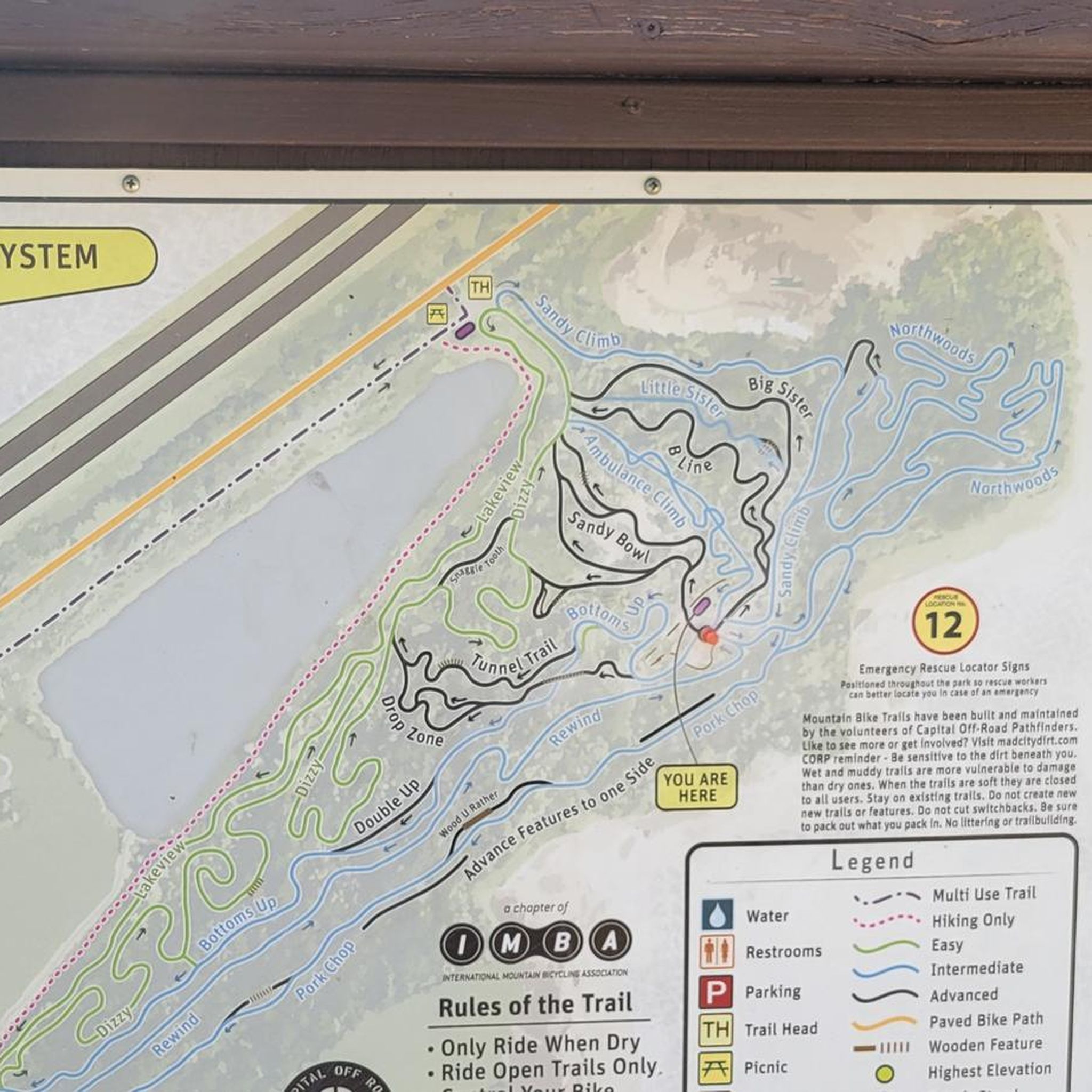
Nice bike hub with E Bike rental, bathrooms, free parking, bike repair station, water. close proximity to all major trails.
0
0

The first bike counter I saw was in Oklahoma City. This one has a cool meter to it.
1
0

The Capital City State Trail is a paved trail that travels for over nine miles through Capital Springs State Recreation Area (Dane County E-way) and connects with other trails in and around Madison.
0
0

The Brittingham Park Path is a paved, multi-use path that cuts through Brittingham Park. A portion of the trail runs alongside Brittingham Bay and gives you great views of the water.
0
0

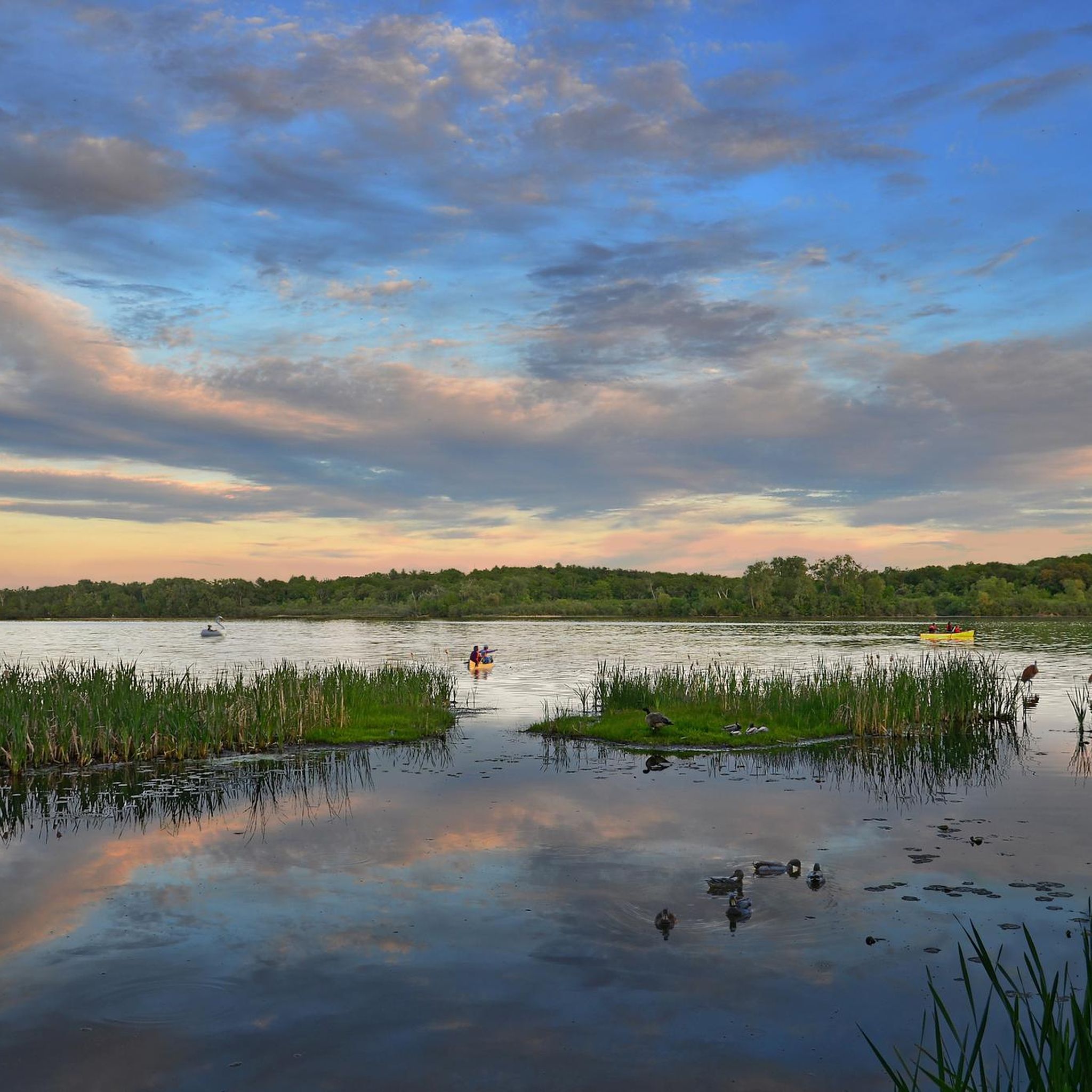
Dawley Conservancy Park is beautiful, covering 42 acres of woodlands, prairies, and wetlands. There are walking trails, abundant wildlife, and active conservation efforts aimed at restoring native plant communities. The park also connects to the Capital City State Trail, making it a scenic hub for local cyclists.
0
0
The E-Way Unit of Capital Springs State Recreation Area features 625 acres of wetlands, prairies, and woodlands, providing a vital corridor for wildlife and outdoor recreation. There are miles of hiking, biking, and skiing trails, with scenic views of Nine Springs Creek. Envisioned initially as an environmental study model, the E-Way is a fantastic space for education and conservation.
0
0
Frequently Asked Questions
How many road cycling routes are available around Fitchburg?
Fitchburg offers a diverse selection of over 15 road cycling routes. These routes cater to various skill levels, from easier paved trails to more challenging rides with significant climbs.
Are there easy road cycling routes for beginners in Fitchburg?
Yes, Fitchburg has several easy road cycling routes suitable for beginners. For instance, the O'Brien Solar Fields loop from Dawley Conservancy Park is an easy option. Additionally, the Twin Cities Rail Trail provides a flatter, paved pathway connecting downtown Fitchburg and Leominster, ideal for a more relaxed ride.
What kind of terrain can I expect on road cycling routes in Fitchburg?
Fitchburg's road cycling routes are characterized by hilly topography, offering both challenging climbs and rewarding descents. You'll find routes through expansive forests like Leominster State Forest, alongside waterways such as the Nashua River, and on dedicated paved bike paths.
Are there any long-distance road cycling routes in the area?
For those seeking longer rides, the Military Ridge State Trail – Capital City State Trail loop from Fitchburg is a notable option. This route spans over 50 miles and connects two state trails, providing a substantial ride with significant elevation gain.
What are some scenic viewpoints or natural features along the routes?
Many routes offer scenic views of the New England landscape. You might encounter natural features like Rocky Pond and Paradise Pond within Leominster State Forest. For specific points of interest, consider exploring highlights such as Olbrich Botanical Gardens or Lake Wingra, which can be found near some cycling paths.
Are there any circular road cycling routes in Fitchburg?
Yes, many routes in Fitchburg are designed as loops. A popular moderate option is the Glenway Woods – Military Ridge State Trail loop from University of Wisconsin Arboretum - Grady Tract, which takes you through varied terrain and wooded areas.
What do other road cyclists say about the routes in Fitchburg?
The road cycling routes around Fitchburg are highly regarded by the komoot community, holding an average rating of 4.4 stars from over 100 reviews. Cyclists often praise the diverse terrain, the balance of challenging climbs, and the scenic natural settings.
Are there family-friendly road cycling options in Fitchburg?
For families, the dedicated bike paths like the Twin Cities Rail Trail offer a safer and flatter environment. While specific family-friendly road cycling routes are not explicitly highlighted in the data, routes with lower elevation gain and on paved surfaces, such as the Lake Wingra – Dawley Conservancy Park loop from Nannyberry Wetland, could be suitable.
What historical or cultural landmarks can I see while cycling?
Fitchburg has a rich history, including a legacy with the Longsjo Classic bicycle race. Along some routes, you might encounter historical sites such as the Picnic Point Mound Group or the Eagle Heights Mound Group (DA130), offering glimpses into the region's past.
Are there routes that connect to other state trails?
Yes, several routes in Fitchburg provide connections to state trails. For example, the Military Ridge State Trail – Ice Age Trail Junction Area loop from Fitchburg leads through areas connecting different state trails, offering extended cycling opportunities.
Where can I find information about parks accessible by bike in Fitchburg?
Fitchburg features several parks that can serve as starting points or destinations for your rides. You can find more information about the city's parks, including Coggshall Park and Coolidge Park, on the official city website: fitchburgma.gov.
Most popular routes around Fitchburg
Most popular attractions around Fitchburg

Get inspired with the komoot mobile app


Explore more
Browse the best Road cycling routes in other regions.
