The best MTB trails around Bergheim
4.2
(837)
1,700
riders
108
rides
Mountain bike trails around Bergheim are developing within the Rhein-Erft-Kreis, offering a growing network for outdoor enthusiasts. The region features varied landscapes, including the prominent Glessener Höhe, which provides terrain for both challenging and practice tracks. These routes are often constructed with an emphasis on forest-friendly methods, creating paths up to 80 centimeters wide. The area's diverse scenery includes views towards the Neurath Power Plant and paths along railways, contributing to interesting routes.
Best mountain bike trails around Bergheim
- The most popular mountain bike trail is View Towards Bergheim – Glessener Höhe Summit Cross loop from Quadrath-Ichendorf, a 24.1 miles (38.8 km) trail that takes 2 hours 47 minutes to complete. This difficult route offers views towards Bergheim and includes the Glessener Höhe Summit Cross.
- Another top favourite among local mountain bikers is Roman Tower on Sophienhöhe – Höller Horn Observation Tower loop from Paffendorf, a moderate 24.6 miles (39.6 km) path. This route explores the Sophienhöhe, passing the Roman Tower and leading to the Höller Horn Observation Tower.
- Local mountain bikers also love the Roman Tower on Sophienhöhe – Abandoned Village of Manheim loop from Glesch, a 35.0 miles (56.3 km) trail leading through the Sophienhöhe and past the abandoned village of Manheim, often completed in about 4 hours 8 minutes.
- Mountain biking around Bergheim is defined by the Glessener Höhe, varied scenery, and paths along the Erft river, with options for different ability levels.
- The routes in Bergheim are highly rated by the komoot community with an average score of 4.3 stars from over 500 reviews. More than 1700 mountain bikers have used komoot to explore Bergheim's varied terrain.
Last updated: October 27, 2026
4.5
(207)
322
riders
Hard mountain bike ride. Good fitness required. Advanced riding skills necessary. Some portions of the route may require you to push your bike.
4.6
(48)
141
riders
Moderate mountain bike ride. Good fitness required. Advanced riding skills necessary.

4.5
(225)
362
riders
62.2km
05:38
1,210m
1,210m
Hard mountain bike ride. Very good fitness required. Advanced riding skills necessary.
4.7
(47)
119
riders
38.4km
03:19
710m
710m
Moderate mountain bike ride. Good fitness required.
4.1
(65)
70
riders
53.8km
04:07
700m
700m
Moderate mountain bike ride. Good fitness required.
Get access to more routes and recommendations from other explorers.
Already have an account?
Our route recommendations are based on thousands of hikes, rides, and runs completed by other people on komoot.
Start today with a free account
Your next adventure awaits.
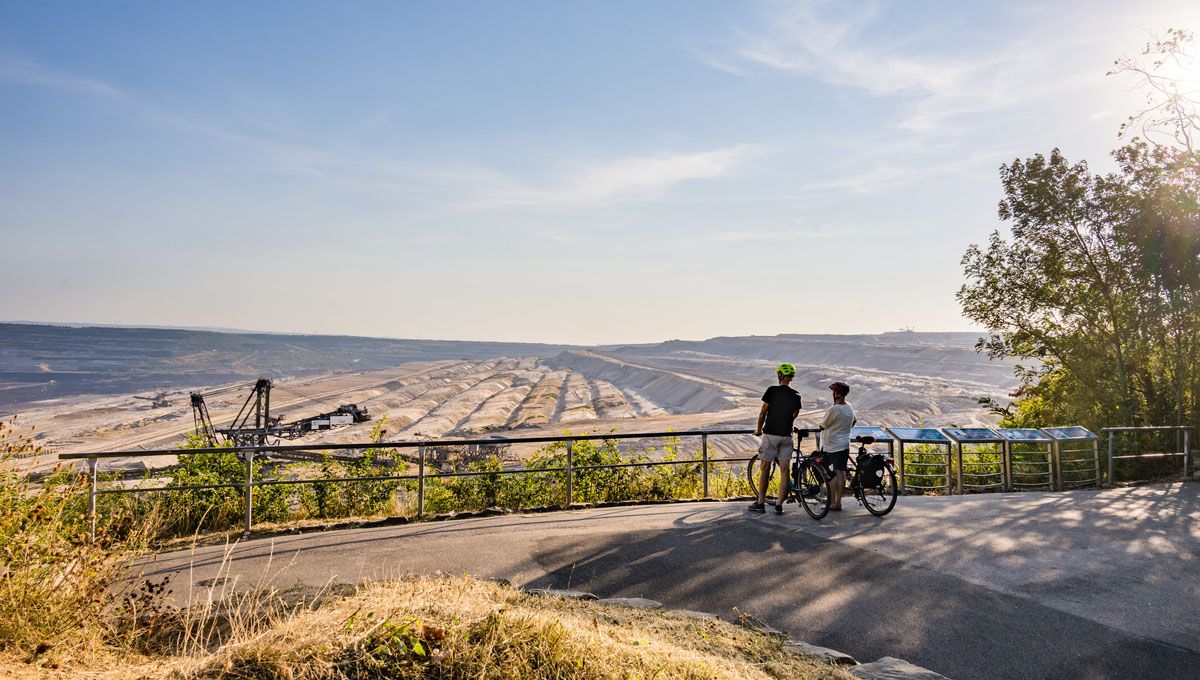
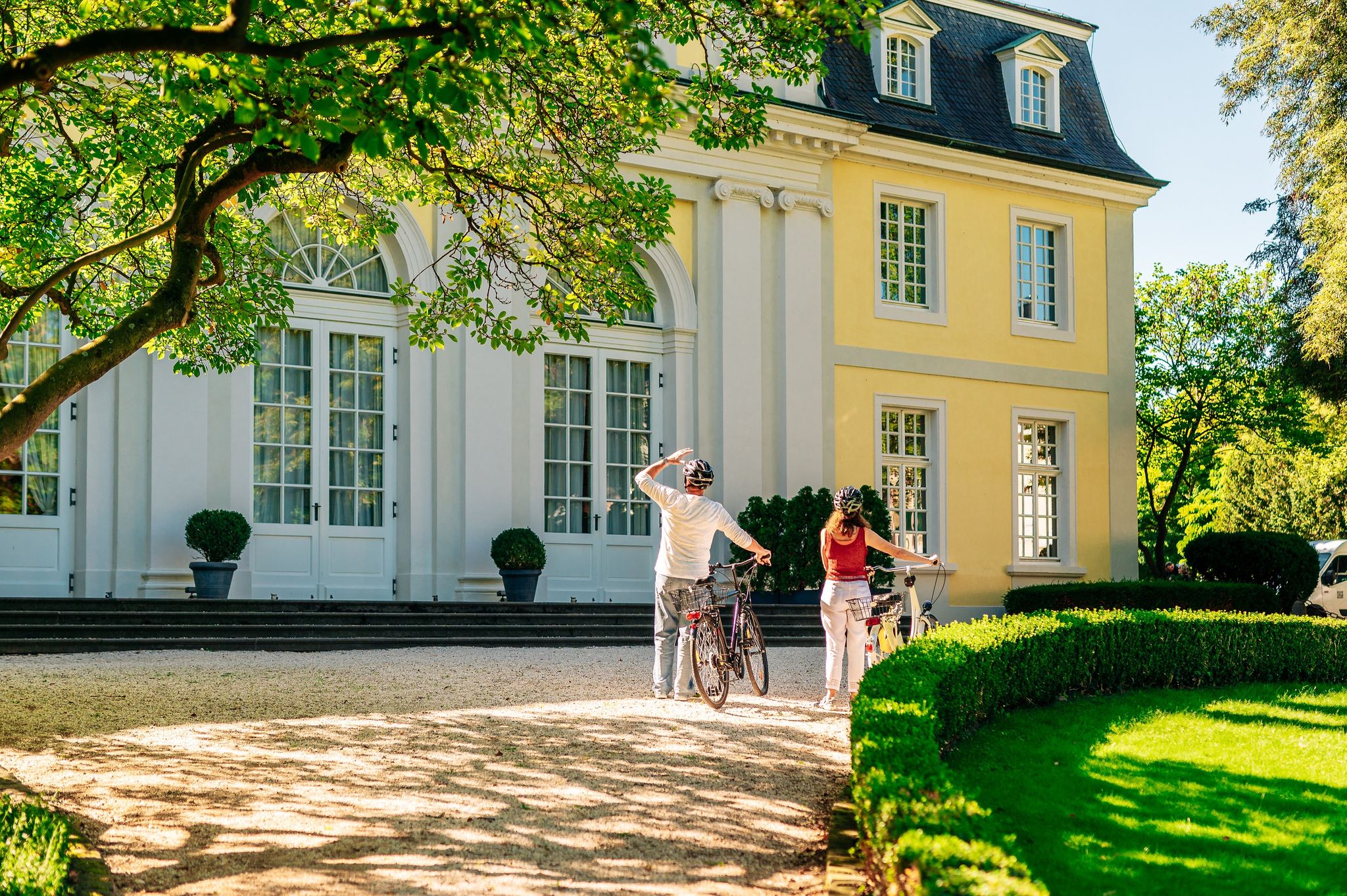
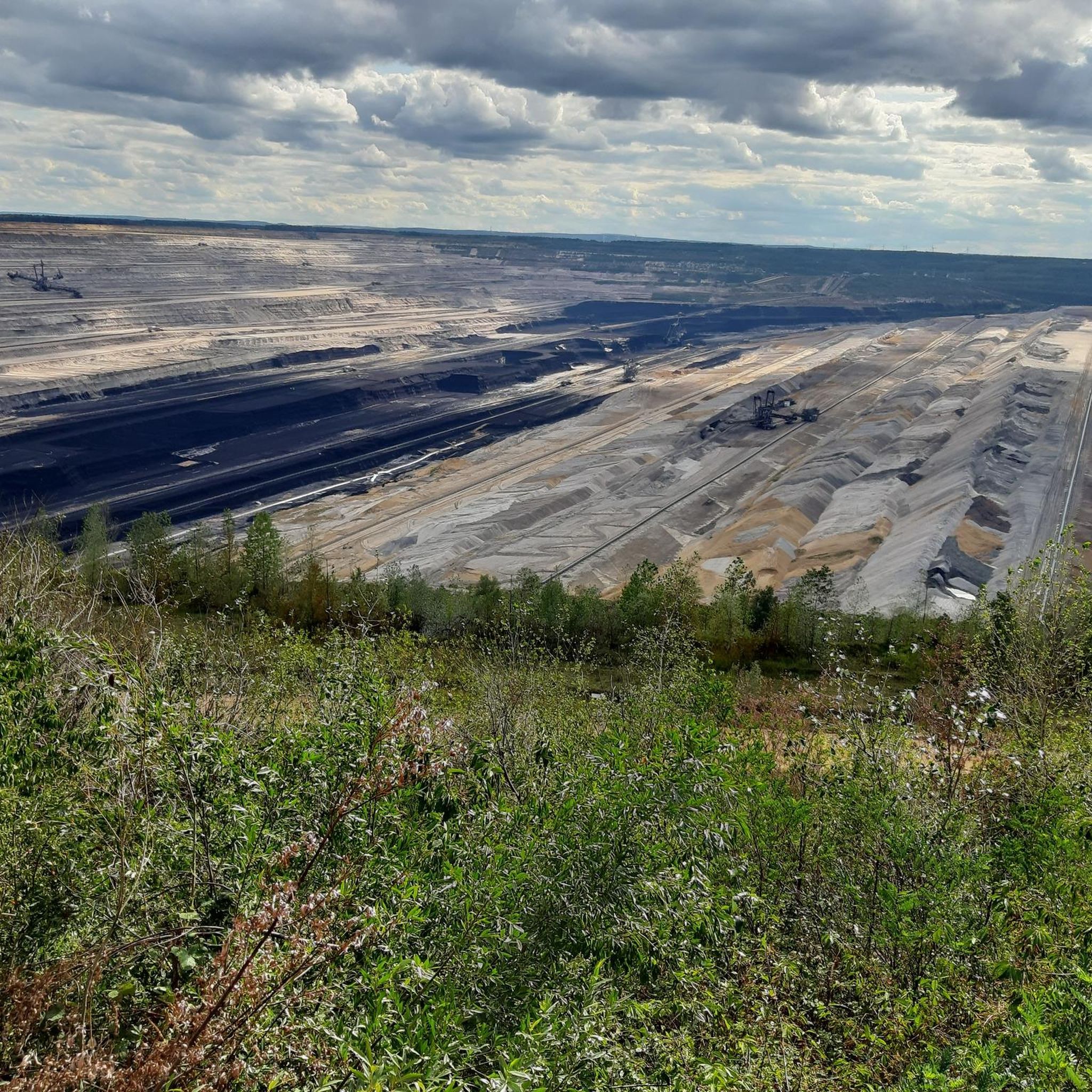
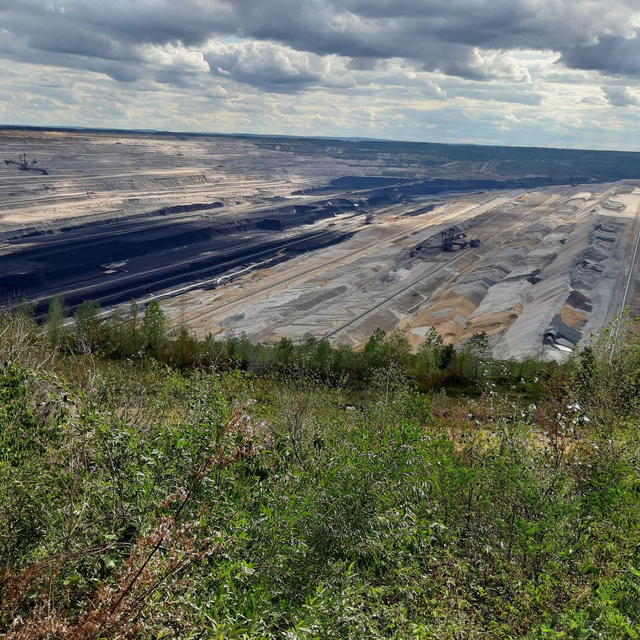

Tips from the Community

👀 beautiful view is given 👀 absolutely recommendable
1
0


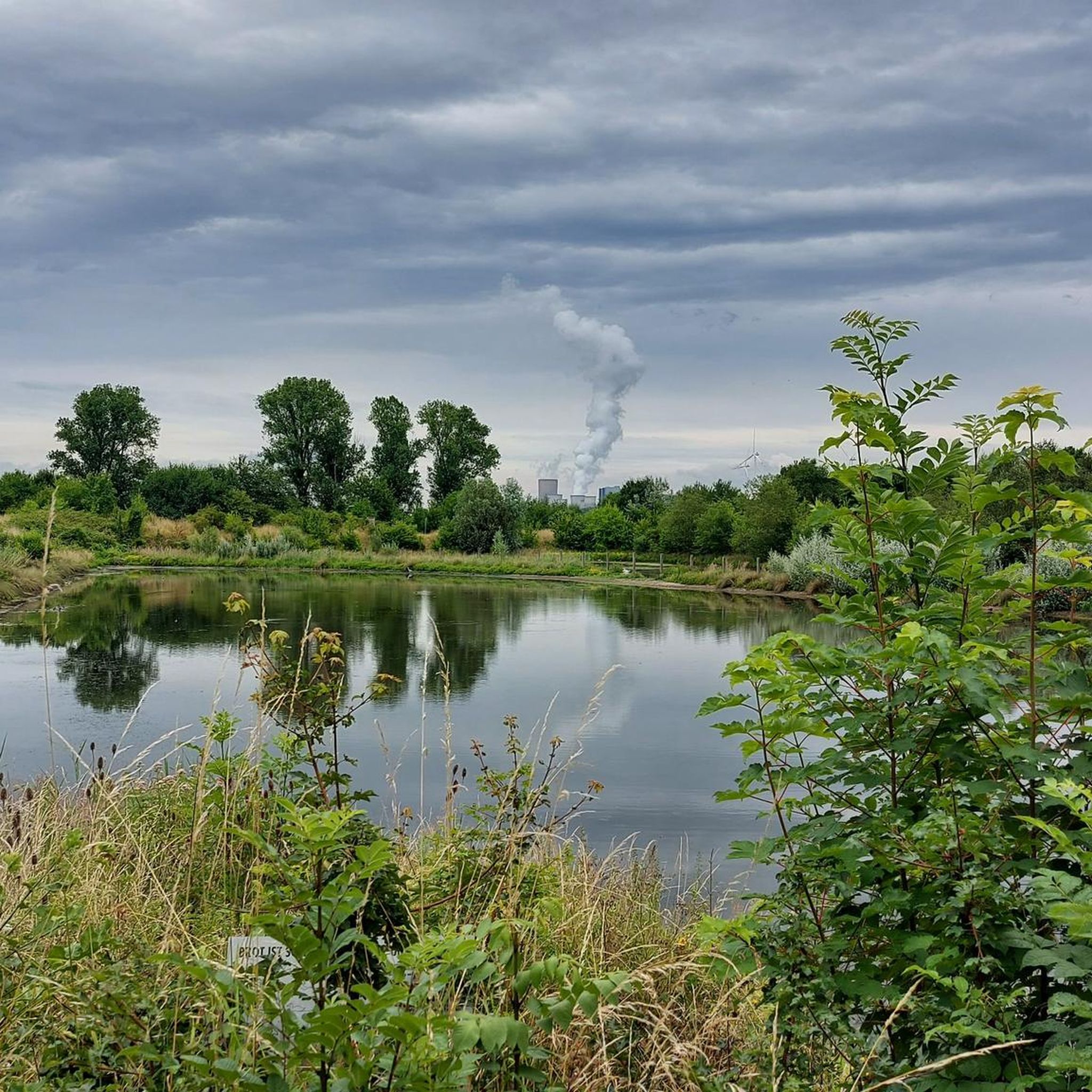
The Peringsmaar, located between Glesch and Blerichen, is an artificial lake situated on the reclaimed land of the former Fortuna-Garsdorf open-cast mine. The lake covers approximately 20 hectares and reaches depths of up to 25 meters. Surrounded by floodplains and meadows, the Peringsmaar is the perfect destination for anyone looking to escape the grayness of the landscape and embrace greenery.
0
0

The paths are easily accessible by bicycle.
0
0

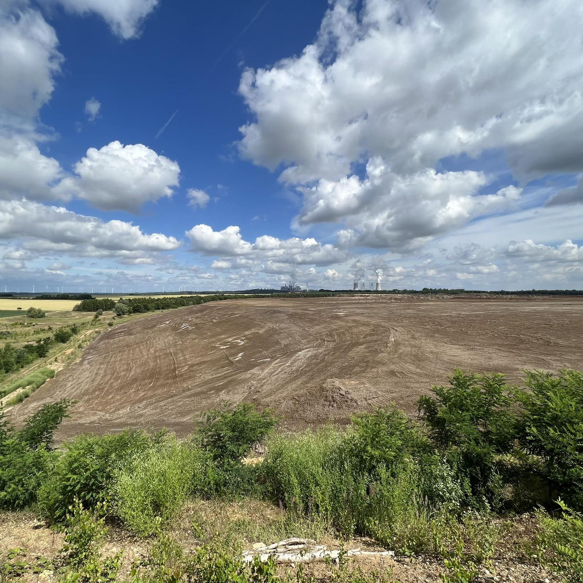
The Himmelsleiter Trails officially offer a variety of routes on the Glessen Heights. The offerings include the "Glessener Welle" (a blue flow trail for beginners), the "Teufelsleiter" (a red, natural trail for advanced riders), and the "Fuchsbau" skill area for practicing technical fundamentals. The trails are approximately 350–400 meters long and open to the public. 🚧⚒️ Greetings from the trail builders ✌️
2
0
Frequently Asked Questions
How many mountain bike trails are available around Bergheim?
There are over 110 mountain bike trails around Bergheim, offering a wide range of options for different skill levels. This includes 49 easy routes, 57 moderate routes, and 12 difficult routes.
Are there mountain bike trails suitable for beginners or families in Bergheim?
Yes, Bergheim offers several easy mountain bike trails, with 49 routes categorized as easy. These are often found in flatter sections, such as those being developed on the Glessener Höhe, and along the Erft river, providing a pleasant experience for less experienced riders or families.
What kind of terrain can I expect on mountain bike trails in Bergheim?
The terrain around Bergheim is varied. You'll find developing trail networks, including popular singletracks and steeper descents, particularly on the Glessener Höhe. Many routes are constructed with a focus on forest-friendly methods, creating paths up to 80 centimeters wide. You can also expect paths along the Erft river and diverse scenery, including views towards the Neurath Power Plant.
Are there any challenging mountain bike trails for advanced riders?
Yes, Bergheim offers 12 difficult mountain bike routes for experienced riders. One such challenging route is the View Towards Bergheim – Glessener Höhe Summit Cross loop from Quadrath-Ichendorf, which covers 38.8 km with significant elevation gain.
What are some scenic mountain bike routes with good views in Bergheim?
Many routes in Bergheim offer scenic views, especially those traversing the Glessener Höhe. For example, the View Towards Bergheim – Glessener Höhe Summit Cross loop from Quadrath-Ichendorf provides excellent views towards Bergheim and includes the Glessener Höhe Summit Cross. Another option is the Roman Tower on Sophienhöhe – Höller Horn Observation Tower loop from Paffendorf, which explores the Sophienhöhe and leads to an observation tower.
Are there any circular mountain bike routes in Bergheim?
Yes, many mountain bike routes in Bergheim are designed as loops. Examples include the View Towards Bergheim – Glessener Höhe Summit Cross loop from Quadrath-Ichendorf and the Roman Tower on Sophienhöhe – Abandoned Village of Manheim loop from Glesch, which are both popular circular tours.
What landmarks or attractions can I see along mountain bike trails in Bergheim?
Mountain bike trails in Bergheim often pass by interesting landmarks. You can explore the Sophienhöhe, which features the Roman Tower, or visit the Höller Horn Observation Tower. Some routes also lead past the abandoned village of Manheim. Additionally, you might encounter historical sites like Alt-Kaster Old Town or impressive structures like Paffendorf Castle.
What do other mountain bikers say about the trails in Bergheim?
The mountain bike trails in Bergheim are highly rated by the komoot community, with an average score of 4.3 stars from over 580 reviews. Many riders praise the varied landscapes, the developing trail network, and the options available for different skill levels.
Are there any specific areas for mountain biking development in Bergheim?
Yes, the Glessener Höhe is a significant area for mountain biking development. New, legal mountain bike routes are being constructed there, including challenging tracks in the hillside and practice tracks in flatter sections, often built and maintained by local mountain bikers' associations with an emphasis on forest-friendly methods.
Can I find mountain bike routes that follow rivers or water features in Bergheim?
Yes, the region offers paths along the Erft river. For instance, the Along the Erft at Rosental – Erft branch and transition from the trail loop from Quadrath-Ichendorf is a moderate route that follows the Erft, providing a different scenic experience.
How long are the mountain bike trails in Bergheim typically?
The mountain bike trails in Bergheim vary significantly in length. Many popular routes range from approximately 24 miles (38 km) to over 35 miles (56 km). For example, the Summit Cross Bethlehemer Höhe – Fortunaveg Singletrack loop from Bergheim (Erft) is about 37.5 km long, offering a substantial ride.
Most popular routes around Bergheim
Most popular attractions around Bergheim

Get inspired with the komoot mobile app


Explore more
Browse the best MTB trails in other regions.
