The best road cycling routes around Suquamish
4.3
(11)
257
riders
18
rides
Road cycling routes around Suquamish, Washington, are characterized by their proximity to the Puget Sound, offering coastal roads with views of the water and surrounding natural areas. The terrain includes gentle rolling hills and stretches through forested landscapes typical of the Kitsap Peninsula. These routes provide opportunities for road cyclists to explore the region's varied topography.
Best road cycling routes around Suquamish
- The most popular road cycling route is Chico Creek Estuary – Waterfront Ride loop from Silverdale, a…
Last updated: May 20, 2026
3.0
(1)
21
riders
33.1km
01:32
370m
370m
Moderate road ride. Good fitness required. Mostly well-paved surfaces and easy to ride.
5.0
(4)
24
riders
32.9km
01:37
380m
380m
Moderate road ride. Good fitness required. Mostly well-paved surfaces and easy to ride.

Sign up for free
5.0
(3)
22
riders
40.1km
02:00
540m
550m
Moderate road ride. Good fitness required. Mostly well-paved surfaces and easy to ride.
10
riders
124km
06:04
1,440m
1,440m
Hard road ride. Very good fitness required. Mostly well-paved surfaces and easy to ride.
10
riders
34.6km
01:42
360m
360m
Moderate road ride. Good fitness required. Mostly well-paved surfaces and easy to ride.
Get access to more routes and recommendations from other explorers.
Sign up for free
Already have an account?
Our route recommendations are based on thousands of hikes, rides, and runs completed by other people on komoot.
Start today with a free account
Your next adventure awaits.
Login or Signup


Tips from the Community

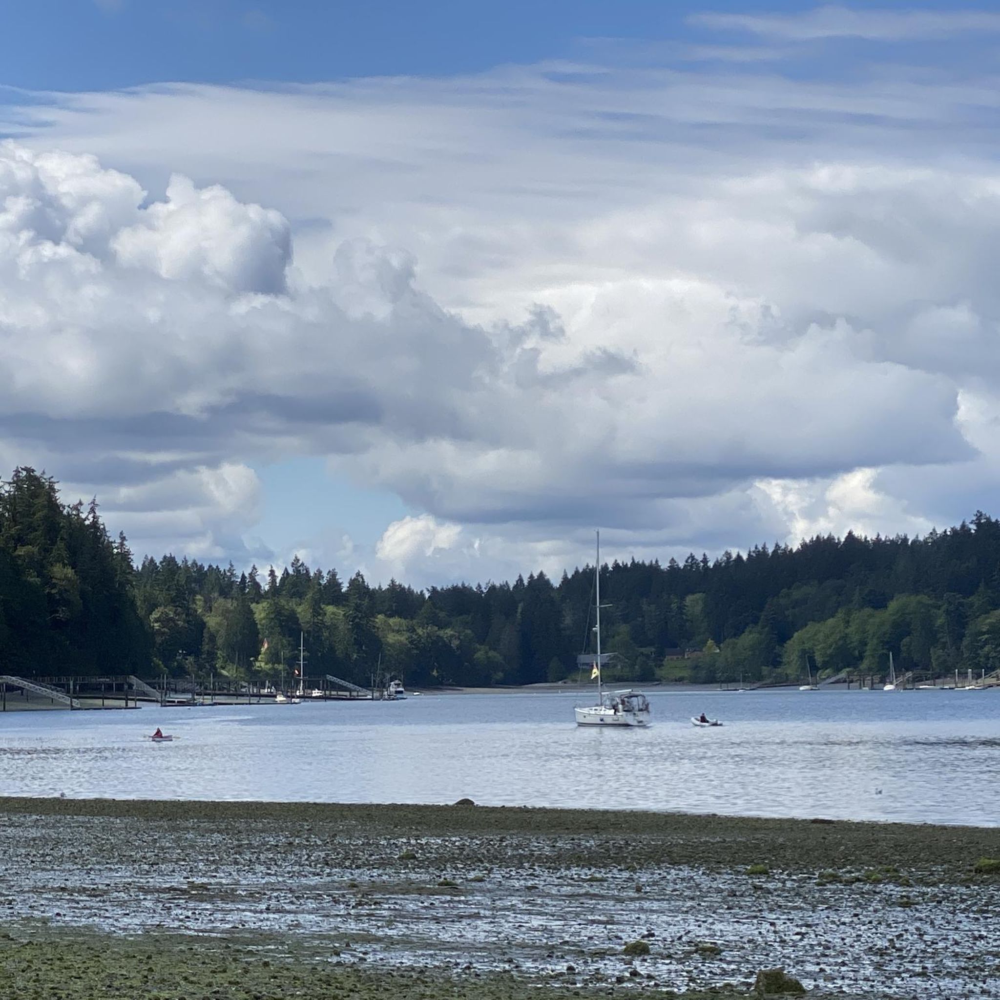
Burke Bay is a quiet inlet on the Kitsap Peninsula, nestled between Brownsville and Illahee and just east of Silverdale. From this spot on Illahee Road, just off the Browsville Highway, you get fantastic views of the water on all sides.
0
0
Big Beef Harbor and Little Beef Harbor are two small, sheltered inlets tucked along the western shore of the Kitsap Peninsula, not far from Lawters Beach and the Seabeck area. These harbors open into Hood Canal and are mostly surrounded by private homes, docks, and dense evergreen forest. You will ride past both of these harbors on Seabeck Highway where you'll get nice views over the canal as well as the creeks and marshes that flow into each of the inlets.
0
0
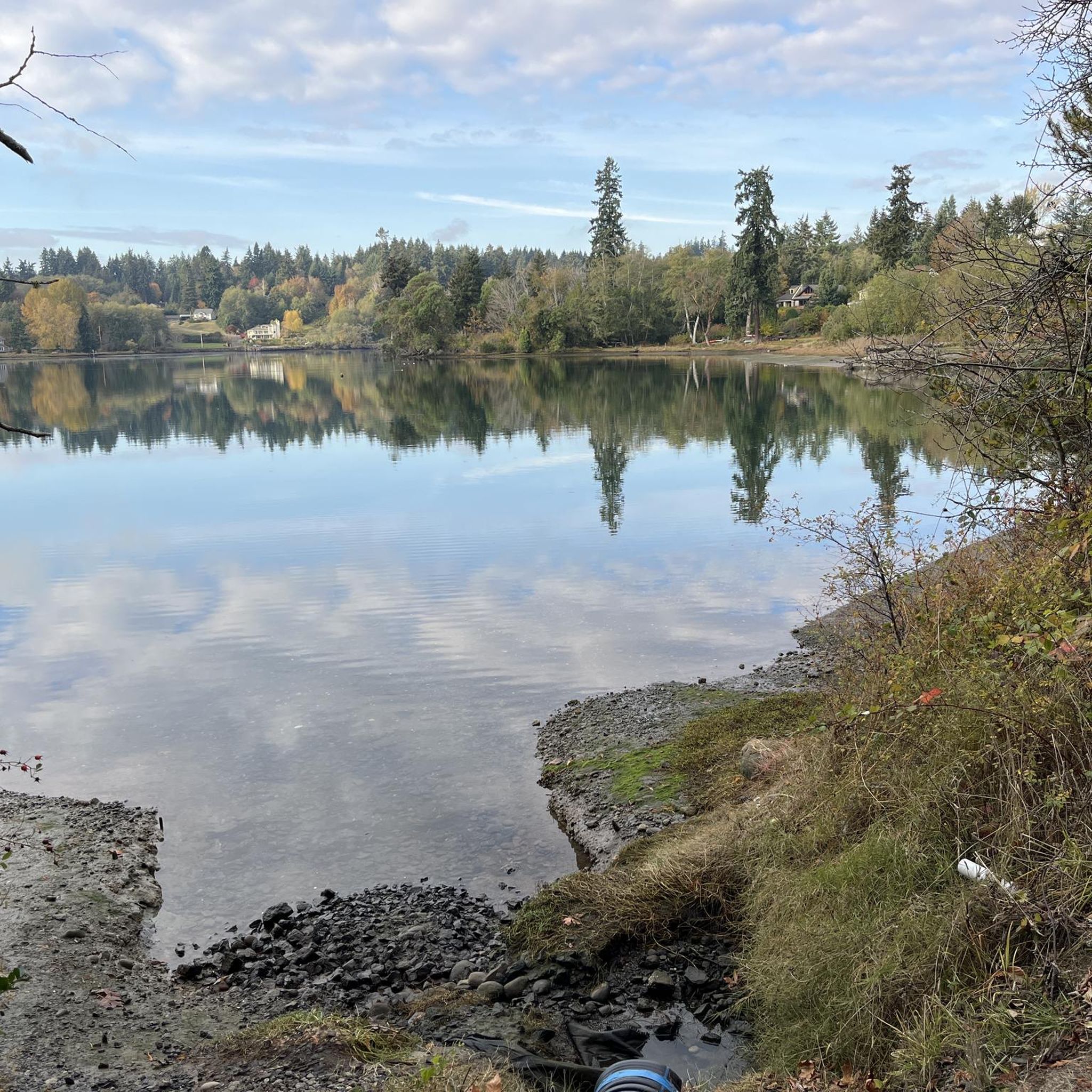
From this spot right by Silverdale Waterfront Park, you get great waterfront views.
0
0

Here you can find fresh, locally roasted nuts and snacks, perfect for refueling mid-ride, also they refill your water bottles. It's a charming spot to take a break and recharge.
0
0


This beautiful 3-acre estuary is home to over 1,100 feet (0.34 km) of natural and restored shoreline where Chico Creek flows into Dyes Inlet. Chico Creek is the most productive salmon stream on the Kitsap Peninsula, and with its tributaries, it has become a popular stop on the Kitsap Salmon Tours that take place every year.
0
0


This waterfront park, as the name suggests, offers saltwater access and several picnic benches for a nice breaking point. Restrooms are also available in the park, making it a great spot to stop.
0
0
Frequently Asked Questions
How many road cycling routes are available around Suquamish?
There are 24 road cycling routes around Suquamish, offering a variety of options for different skill levels. These routes are highly rated by the komoot community, with an average score of 4.3 stars.
What kind of terrain can I expect on road cycling routes in Suquamish?
Road cycling routes around Suquamish are characterized by their proximity to the Puget Sound, offering coastal roads with views of the water. The terrain typically includes gentle rolling hills and stretches through forested landscapes, which is characteristic of the Kitsap Peninsula.
Are there easy or beginner-friendly road cycling routes in Suquamish?
Yes, Suquamish offers 5 easy road cycling routes suitable for beginners or those looking for a more relaxed ride. These routes provide a great way to explore the area's natural beauty without significant challenges.
Are there challenging routes for experienced road cyclists?
For experienced road cyclists seeking a challenge, there are 2 difficult routes available around Suquamish. One notable option is the Dewatto Bay – Silverdale Waterfront Park loop from Silverdale, which covers a substantial distance and elevation.
Can I find routes with scenic viewpoints or landmarks?
Many routes offer scenic views, particularly of the Puget Sound and forested areas. For specific landmarks, you might pass by areas like Sakai Park and pond or Manitou Beach Open Space, which provide beautiful natural settings. The Skunk Bay Lighthouse loop from Wolfle parking lot specifically passes by the Skunk Bay Lighthouse.
Are there loop routes available for road cycling in Suquamish?
Yes, many of the road cycling routes in Suquamish are designed as loops, allowing you to start and end at the same point. Examples include the popular Chico Creek Estuary – Waterfront Ride loop from Silverdale and the View of Burke Bay – Burke Bay loop from Silverdale.
What do other cyclists enjoy most about road cycling in Suquamish?
The area is highly rated by the komoot community, with an average score of 4.3 stars from over 10 reviews. Cyclists often praise the coastal roads, the views of the Puget Sound, and the varied terrain that includes both rolling hills and forested sections.
When is the best time of year for road cycling in Suquamish?
Given Suquamish's location in Washington State, the best time for road cycling is typically during the drier and milder months, from late spring through early fall (May to October). This period generally offers more pleasant weather conditions for exploring the coastal and forested routes.
Are there any parks or natural areas accessible by road bike near Suquamish?
Yes, several parks and natural areas are within reach. You might encounter places like Battle Point Park or John Nelson Park. The Battle Point Park – Point White Pier loop from Wildlife Corridor and Expansion is a moderate route that includes Battle Point Park.
What are some points of interest I might see while road cycling near Suquamish?
Beyond the scenic coastal views, you could pass by natural features like Sakai Park and pond or the Frog Rock. The routes often weave through areas that highlight the region's natural beauty and cultural significance.
Are there any specific routes that offer waterfront views?
Absolutely. Many routes leverage Suquamish's coastal location. The Chico Creek Estuary – Waterfront Ride loop from Silverdale is specifically highlighted for its waterfront views, and the Skunk Bay Lighthouse loop from Wolfle parking lot also includes coastal sections.
Most popular attractions around Suquamish

Get inspired with the komoot mobile app


Explore more
Browse the best Road cycling routes in other regions.
