The best running trails around Riverbend
5.0
(3)
643
runners
58
runs
Jogging routes around Riverbend offer diverse landscapes, from scenic riverfront paths to challenging trails with significant elevation gain. The region is characterized by its proximity to rivers, extensive trail systems, and natural settings, providing varied terrain for runners. Many routes feature views of surrounding hills and forests, with some leading to notable viewpoints. These areas often include a mix of paved and unpaved paths, catering to different preferences and skill levels.
Best jogging routes around Riverbend
- The most popular jogging…
Last updated: August 8, 2026
20
runners
3.93km
00:32
110m
110m
Moderate run. Good fitness required. Mostly paved surfaces. Suitable for all skill levels.
20
runners
20.8km
02:13
170m
170m
Hard run. Very good fitness required. Mostly paved surfaces. Suitable for all skill levels.

Sign up for free
21
runners
12.7km
01:46
310m
310m
Hard run. Very good fitness required. Sure-footedness, sturdy shoes and alpine experience required.
15
runners
24.6km
02:36
230m
230m
Hard run. Very good fitness required. Mostly paved surfaces. Suitable for all skill levels.
7
runners
Moderate run. Good fitness required. Mostly paved surfaces. Suitable for all skill levels.
Get access to more routes and recommendations from other explorers.
Sign up for free
Already have an account?
Our route recommendations are based on thousands of hikes, rides, and runs completed by other people on komoot.
Start today with a free account
Your next adventure awaits.
Login or Signup

Tips from the Community

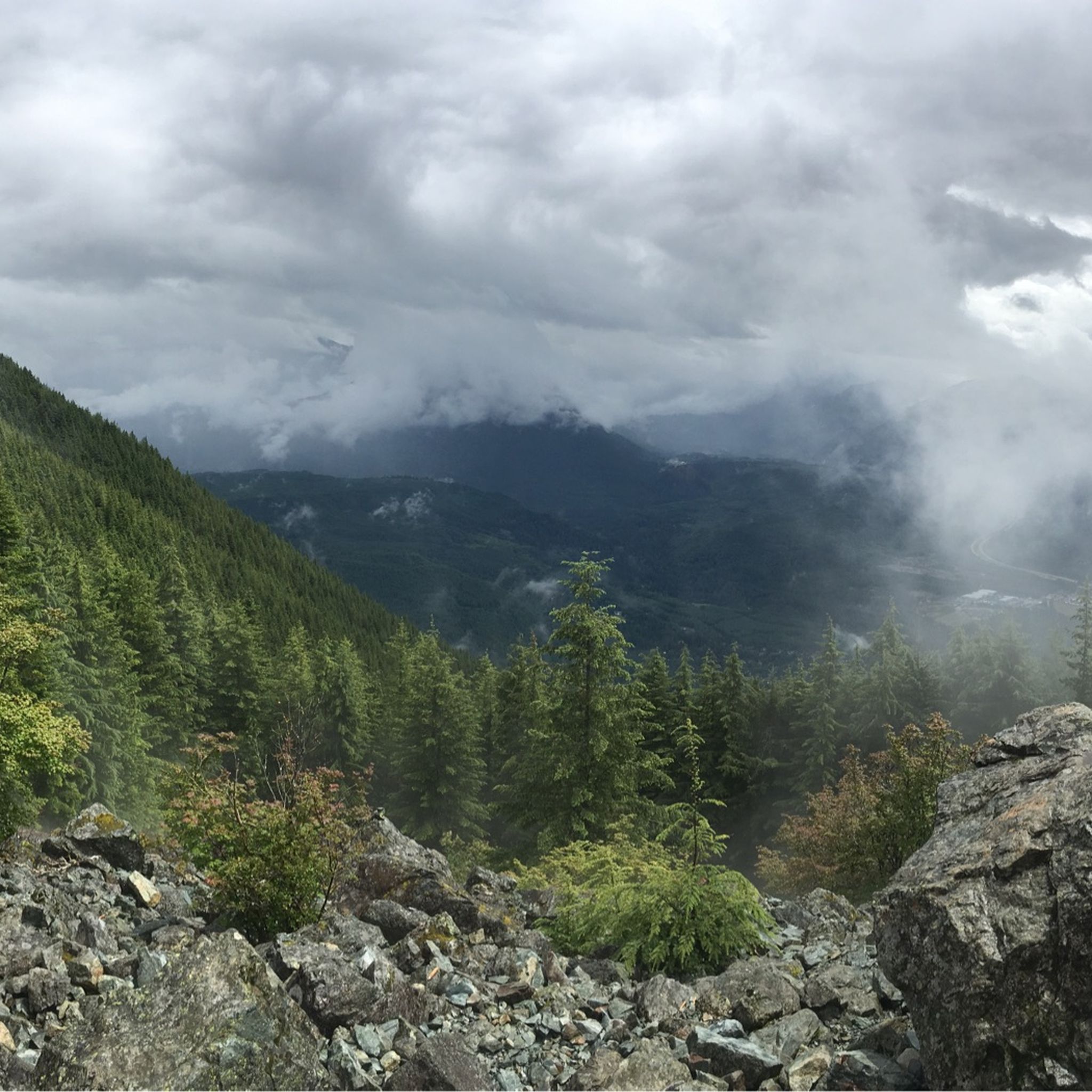
It's much longer than that. This is my favorite long distance bike trail in Washington, almost 290 miles. You can start at Rattlesnake Lake near North Bend and ride all the way to Idaho - or vice versa. Most of the trail is still on the old railroad bed (with a few detours), so it's beautiful and remote. Make sure you check the Washington State Parks website for maps, directions, advice and to register to go on the trail. It's free but mandatory if you are going east of the Columbia River. And... it's a bucket list item.
0
0
If you are starting your ride here on the Palouse to Cascades trail, take a few minutes to stop and admire the view then ride out past the watershed education center to the "Thou shalt not pass" signs (and really - do NOT trespass. The watershed folks are serious.) This is the official start of the Trail!
0
0

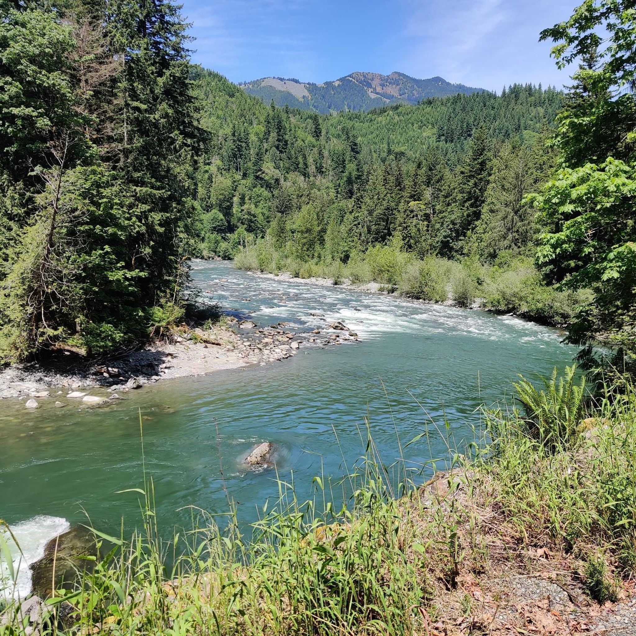
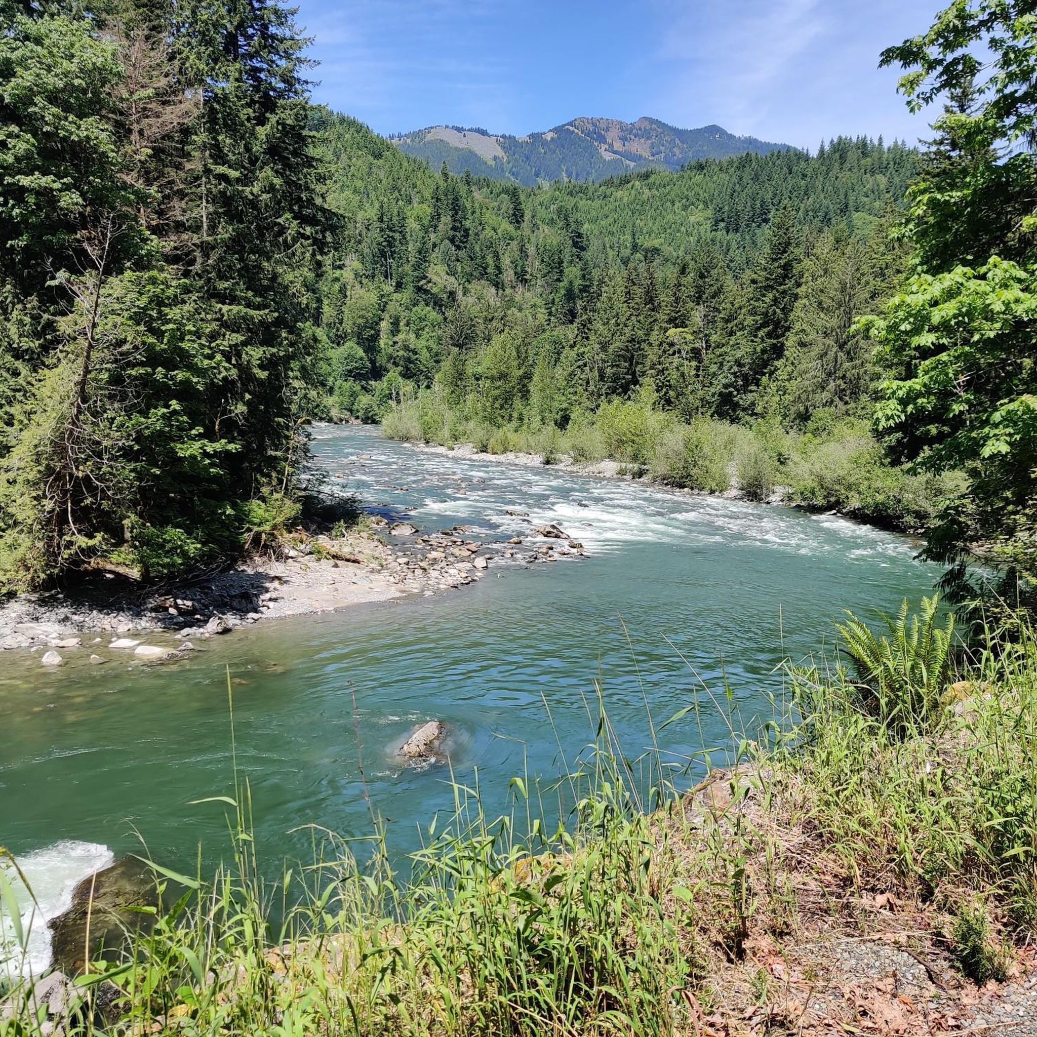
All told, the remade rail line known as the Palouse to Cascades Trail — also known as the Iron Horse or John Wayne trails — contains more than 100 miles (161 km) of trail from Cedar Falls to the Columbia River, all in a state park that only measures 100 feet (30 m) in width. This trail's very gentle grades make for pleasant hiking, and surprisingly beautiful views when the trees open up at magnificent trestle bridges. The trail is very popular with cyclists as well.
0
0

Rainbow Lake is a glacial lake in Olallie State Park. There is a gravel path circumnavigating it. Riders can get nice views of Rainbow Lake from the Snoqualmie Valley Trail, which runs between the trees.
0
0

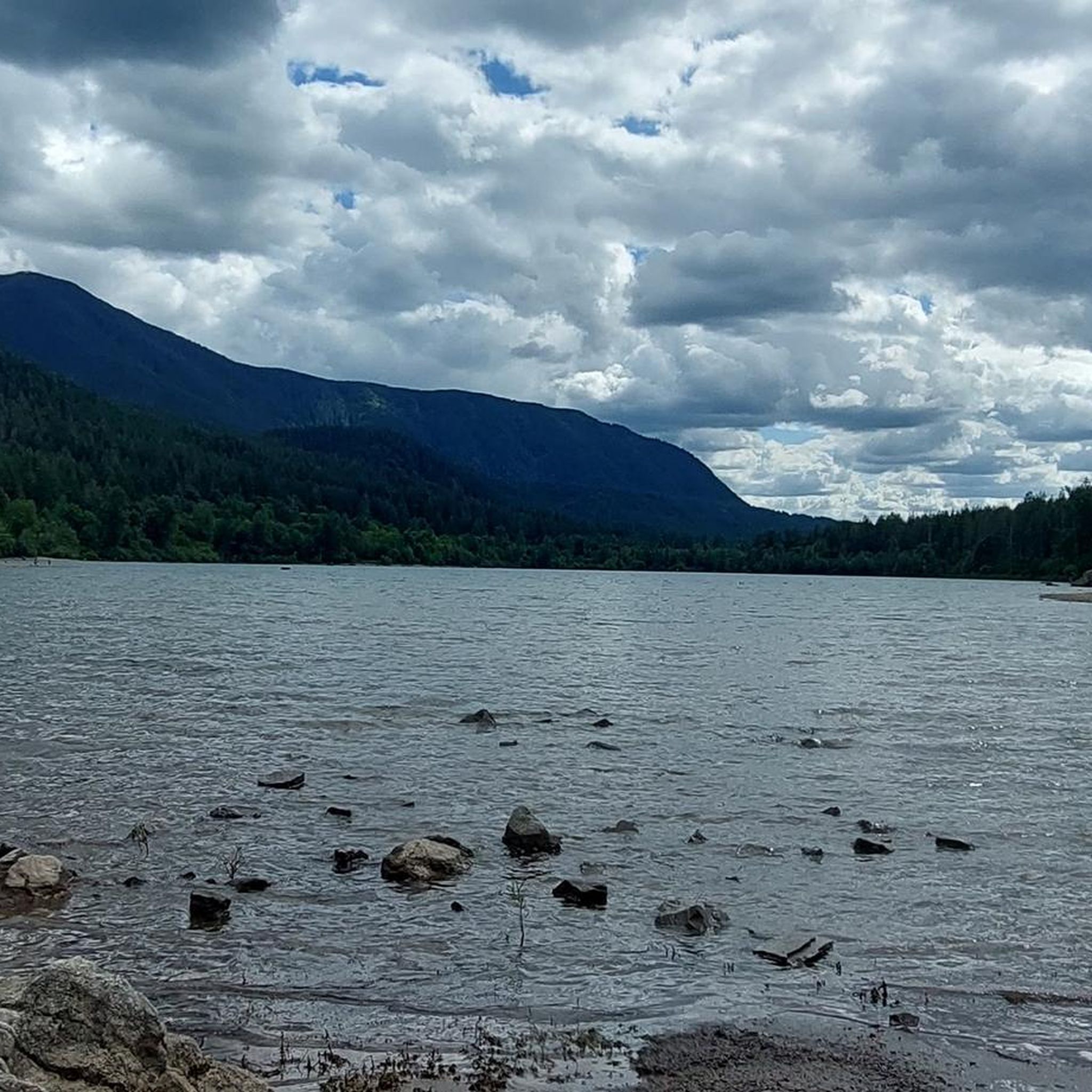
Rattlesnake Lake is part of the Rattlesnake Lake Recreation Area, designated for day-use activities. The lake spans 111 acres, spring-fed by the Cedar River, and is a popular spot for fishing and swimming.
0
0
Rattlesnake Lake is part of the Rattlesnake Lake Recreation Area, designated for day-use activities. The lake spans 111 acres, spring-fed by the Cedar River, and is a popular spot for fishing and swimming.
1
0

Set within Olallie State Park, Rainbow Lake emerges as a hidden gem for trail runners. The compacted gravel path encircling this pristine glacial lake provides a serene route, offering a scenic and adventurous run away from the bustle of crowds.
0
0
This broad, graveled trail is shared between mountain bikers and walkers. It offers an easy, mostly flat getaway along the lake, and also leads to the interesting Cedar River Watershed Education Center.
0
0
Frequently Asked Questions
How many running routes are available in the Riverbend area?
The Riverbend region offers a wide variety of running experiences, with over 60 routes available. These range from easy paths to more challenging trails, catering to different fitness levels and preferences.
Are there any easy or beginner-friendly jogging routes in Riverbend?
Yes, Riverbend has several routes suitable for beginners or those looking for an easier run. While many routes are more challenging, there are at least 5 routes classified as easy. These often feature well-maintained paths and less elevation gain, perfect for a relaxed jog.
What kind of scenic views or landmarks can I expect along the jogging trails?
Jogging routes in Riverbend often feature stunning natural beauty. You can find trails with panoramic views, such as those leading to Mount Si Viewpoint or Dirty Harry's Balcony. Many paths also run alongside rivers, offering picturesque waterside scenery. For those interested in waterfalls, routes may pass near impressive sites like Snoqualmie Falls or Teneriffe Falls.
Are there any circular running routes in Riverbend?
Yes, many of the running routes in Riverbend are designed as loops, offering a varied experience without retracing your steps. For example, the Little Si Trail Viewpoint – Mount Si Viewpoint loop from North Bend is a challenging circular route that provides extensive views and a rewarding workout.
What do other runners say about the trails in Riverbend?
The running routes in Riverbend are highly regarded by the komoot community, with an average rating of 4.6 stars from over 5 reviews. Runners frequently praise the diverse terrain, the beautiful natural settings, and the variety of options available for different skill levels. Over 800 runners have already explored the area using komoot.
Are the jogging routes in Riverbend suitable for families?
While some routes in Riverbend are quite challenging, there are also family-friendly options, particularly those with less elevation gain and well-maintained paths. Parks like Riverbend Park in Bend, Oregon, are known for their accessible trails and open spaces, making them ideal for a family outing. Look for routes categorized as 'easy' for the most suitable options.
Can I bring my dog on the running trails in Riverbend?
Many outdoor areas in Riverbend are dog-friendly, especially those with extensive trail systems. However, specific regulations can vary by park or trail section. For instance, Riverbend Park in Bend, Oregon, is generally welcoming to dogs on leash. It's always best to check local signage or park websites for the most current rules regarding pets on trails.
What is the best time of year to go jogging in Riverbend?
The best time to go jogging in Riverbend can depend on the specific location and your preferences. Areas like Riverbend Ponds in Fort Collins, Colorado, are particularly desirable in warmer months due to shaded trails. Generally, spring and fall offer pleasant temperatures and vibrant scenery. Summer mornings or evenings can also be excellent to avoid peak heat, while winter jogging is possible on many trails, though conditions may vary.
Are there any routes that feature waterfalls?
Yes, the Riverbend area is home to several impressive waterfalls. You can find routes that lead to or pass by Snoqualmie Falls, a major natural attraction, or the beautiful Teneriffe Falls. These routes offer a refreshing and scenic experience for runners.
Where can I find parking for the jogging trails?
Parking availability varies by specific trailhead. Many popular parks, such as Riverbend Park in Bend, Oregon, or Riverbend Park in Great Falls, Virginia, offer dedicated parking areas. For routes like the Little Si Trail Viewpoint – Mount Si Viewpoint loop from Tanner, you would typically find parking near the starting point in Tanner. It's advisable to check the specific route details on komoot for parking information.
Are there any cafes or places to eat near the running routes?
While the guide focuses on the trails themselves, many Riverbend locations are close to amenities. For example, Riverbend Park in Bend, Oregon, is near the city, offering various cafes and dining options. Similarly, areas like Middlebury, Indiana, and Fort Collins, Colorado, have local establishments where you can refuel after your run. Specific cafes would depend on the exact starting point of your chosen route.
What is the longest running route available in Riverbend?
For those seeking a longer challenge, the Rattlesnake Lake – Snoqualmie Valley Trail loop from Riverbend is a significant option, covering 18.8 miles (30.3 km). This difficult route offers varied terrain through natural areas, including sections near a lake and along a valley trail, making it ideal for endurance runners.
Most popular attractions around Riverbend

Get inspired with the komoot mobile app


Explore more
Browse the best Running Trails & Routes in other regions.
