The best road cycling routes around Marrowstone
5.0
(2)
95
riders
13
rides
If you've ever tried to plan road cycling around Marrowstone, you know how quickly the options can feel overwhelming. With so many quiet country roads and scenic views, it's tough to know which routes are genuinely worth your time and effort. That's where we come in. Our komoot community has ridden, reviewed, and curated the best of Marrowstone's road cycling, so you don't have to guess. We've done the legwork to bring you a shortlist of routes that truly deliver.
Road cycling around Marrowstone is all about peaceful, low-traffic roads winding past picturesque bays and old farmhouses. While much of the island offers generally flat to gently rolling terrain, you'll find engaging routes with moderate elevation gains, especially when connecting to nearby towns. Expect panoramic views of Puget Sound, with landscapes transitioning from saltwater shorelines to dense forests. It's a truly tranquil escape, making it ideal for a relaxed pace.
If you only do one ride, we'd start with the Port Townsend loop, a fantastic 19.8 miles (31.9 km) that offers a perfect blend of diverse coastal and town scenery. For those looking to connect with a key island highlight, the Port Townsend to Fort Flagler route, at 34.9 miles (56.2 km), is a moderate ride that takes you right to the scenic state park. Dive in and discover why more than 100 road cyclists have already explored Marrowstone with komoot.
Last updated: June 4, 2026
5.0
(1)
18
riders
31.9km
01:31
400m
400m
The Port Townsend loop offers a delightful road cycling experience, blending historic townscapes with stunning natural beauty. You'll pedal past charming Victorian homes, enjoy expansive views of Puget Sound and the Olympic Mountains, and even skirt Chinese Gardens Lake. While mostly well-paved, be prepared for some short unpaved or gravel sections that add to the adventure.
This moderate 19.8-mile (31.9 km) route, with 1321 feet (403 metres) of elevation gain, typically takes about 1 hour and 30 minutes to complete. It's ideal for cyclists with good fitness looking for a scenic ride that's not an all-day affair. Port Townsend is bike-friendly, making access easy, and you can start your ride from various points around the town.
What makes this route stand out is its unique integration of history and nature; you're not just cycling, you're touring a living museum. The loop also connects to the Larry Scott Memorial Trail, offering options for longer rides and varied terrain if you want to extend your adventure beyond the main loop.
5.0
(1)
9
riders
56.2km
02:25
500m
500m
Embark on a scenic road cycling adventure from Port Townsend to Fort Flagler, a route that truly showcases the diverse natural features of the Quimper Peninsula. You'll start on the smooth, packed gravel of the Larry Scott Memorial Trail, enjoying bay views and forest sections, before transitioning to rolling hills and coastal roads. The journey culminates at Fort Flagler State Park on Marrowstone Island, where lush forests meet saltwater beaches and historic military structures, offering captivating viewpoints of Admiralty Inlet and the Olympic Mountains.
This moderate 35.0-mile (56.2 km) bike ride involves 1628 feet (496 metres) of elevation gain and typically takes about 2 hours and 24 minutes. While the initial trail section is easy, expect more challenging rolling hills on the road sections, particularly on Highway 20, which may lack shoulders. Plan your visit for clear days to fully appreciate the panoramic views of Mount Baker and the Cascade Mountains, and consider an early start to make the most of your time exploring Fort Flagler.
The route offers a unique blend of dedicated bike paths and road cycling, making it a fantastic option for those seeking varied terrain and historical landmarks. Fort Flagler State Park itself is a significant highlight, once part of the "Triangle of Fire" defending Puget Sound, and provides a fascinating glimpse into coastal defense history. This ride is perfect for cyclists looking for a rewarding day trip with a mix of physical challenge and stunning Pacific Northwest scenery.

9
riders
61.2km
02:44
560m
560m
The Port Townsend, Port Hadlock, and Port Ludlow loop offers a fantastic road cycling experience, weaving through coastal views, serene forest sections, and charming communities. You'll enjoy waterfronts along Port Townsend Bay and pass through areas near Fort Worden State Park, with distant mountain vistas providing a stunning backdrop. It's a journey that truly showcases the diverse natural beauty of the Olympic Peninsula.
This moderate 38.0 miles (61.2 km) ride, with 1852 feet (564 metres) of elevation gain, typically takes around 2 hours and 44 minutes to complete. While mostly on well-paved surfaces, be prepared for some unpaved segments and varied elevation, including climbs up to 3.5% gradients. It's a great option for cyclists with good fitness looking for an engaging and varied day out.
What makes this route stand out is its ability to connect three distinct communities, offering a continuous cycling experience through varied local atmospheres. It also serves as a gateway to segments of the Olympic Discovery Trail, enhancing connectivity and providing additional scenic options for cyclists exploring the region.
40.7km
01:57
580m
580m
The Port Townsend To Discovery Bay cycling route offers a diverse ride through the Olympic Peninsula's eastern edge, blending historic waterfronts with tranquil forests and expansive green valleys. You'll encounter varied terrain, from paved sections near Port Townsend's harbor to crushed gravel on the Larry Scott Trail, and even a short, almost single-track stretch through the woods. Keep an eye out for wildlife at the Snow and Salmon Creek Estuary Preserve, a highlight along the way.
This moderate 25.3-mile (40.7 km) route, with 1892 feet (577 metres) of elevation gain, typically takes around 1 hour and 57 minutes to complete. While much of the ride is on paved rural roads, some unpaved or gravel sections, particularly on the Olympic Discovery Trail, mean it's best suited for a hybrid or gravel bike. Be aware of a shoulderless "pure hill" on State Route 20 that requires extra caution.
This segment forms the easternmost part of the larger Olympic Discovery Trail, a multi-use route stretching nearly 130 miles across the Olympic Peninsula. It's a fantastic way to experience the region's natural beauty and is recognized as the westernmost segment of the Great American Rail-Trail. The mix of dedicated trails and rural roads provides a unique road cycling experience, though some parts may challenge those on pure road bikes.
113km
05:46
1,640m
1,640m
Embark on an epic road cycling adventure from Port Townsend to Mount Walker, a route that transitions from the gentle beauty of the Olympic Discovery Trail to the demanding ascent of a mountain peak. You'll pedal through diverse landscapes of forests, farmlands, and small towns, enjoying views of the Puget Sound, before tackling the challenging climb up Forest Road 2730. The reward for your effort is a breathtaking 360-degree panorama from the Mount Walker viewpoints, showcasing snow-capped peaks like Mt. Rainier and Mt. Baker, along with distant cityscapes.
This is a difficult 70.1-mile (112.8 km) ride with a significant 5391 feet (1643 metres) of elevation gain, typically taking around 5 hours and 45 minutes. It's best suited for experienced road cyclists with excellent fitness, as the climb to Mount Walker features steep grades and can have loose gravel, potentially requiring you to push your bike. Plan for a long day and ensure your bike is in top condition for this strenuous journey.
The Port Townsend to Mount Walker cycling route is notable for its substantial length and the dramatic contrast between its initial segments and the final, strenuous climb. It offers a comprehensive road cycling experience, combining the varied terrain of the Olympic Discovery Trail with the immense satisfaction of conquering a challenging mountain ascent. The unparalleled views from the summit, encompassing both natural landmarks and urban areas, make this a truly memorable ride for those seeking a significant challenge.
Get access to more routes and recommendations from other explorers.
Already have an account?
Our route recommendations are based on thousands of hikes, rides, and runs completed by other people on komoot.
Start today with a free account
Your next adventure awaits.
Popular around Marrowstone
Tips from the Community

At the South Viewpoint you are able to see Mount Rainier, the state's loftiest peak at 14,410 feet. Beyond this natural wonder, the distant panorama includes glimpses of major metropolitan areas. Everett, situated 33 miles away, Seattle at 28 miles, and Tacoma 39 miles in the distance all come into view. When the day is exceptionally clear, you might even spot the iconic Seattle Space Needle.
0
0
The climb up can be a challenge, but the rewards are well worth it. From this viewpoint, you're treated to stunning 360 views. To the west, you'll catch a glimpse of Mt. Jupiter, the nearest high peak to Hood Canal. Further on, Mt. Constance stands as the third-highest peak in the Olympics, with its awe-inspiring rock faces. On exceptionally clear days, you'll even spot Mt. Baker to the northeast, the state's fourth-highest peak with a remarkable glacial system.
0
0

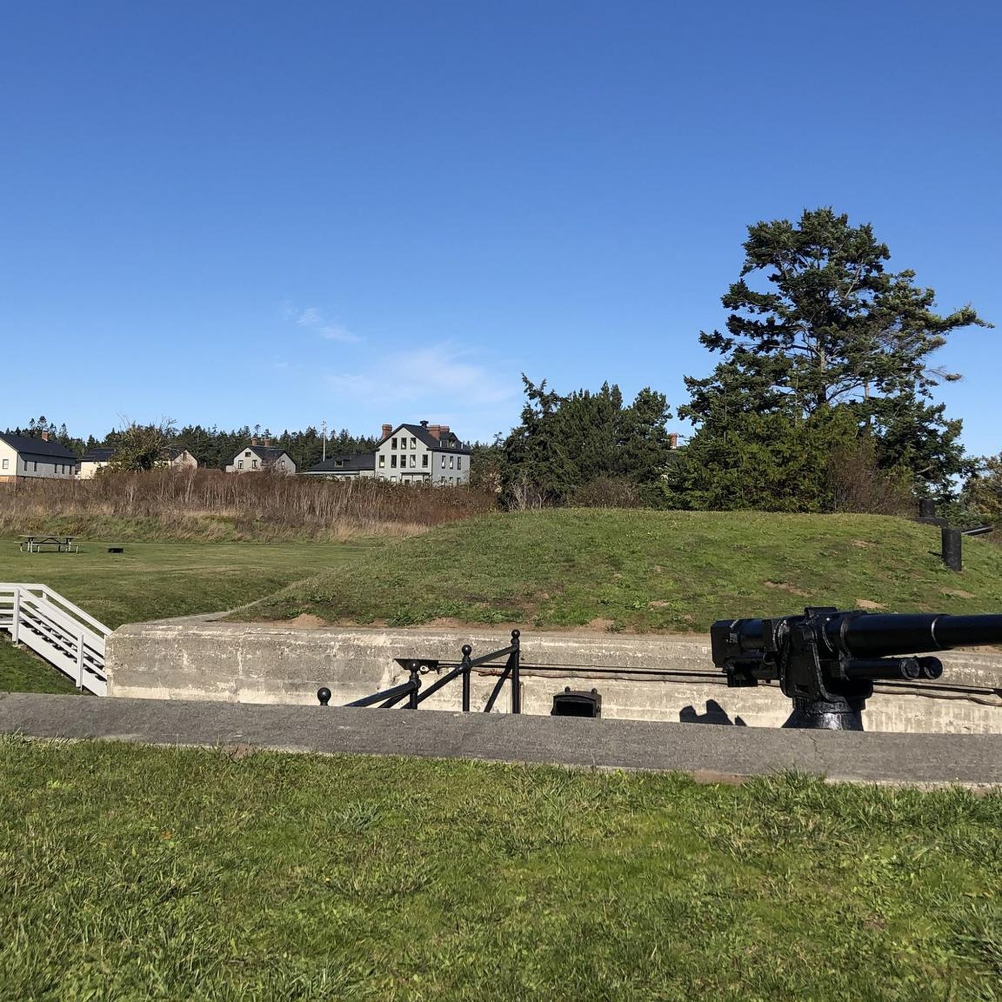
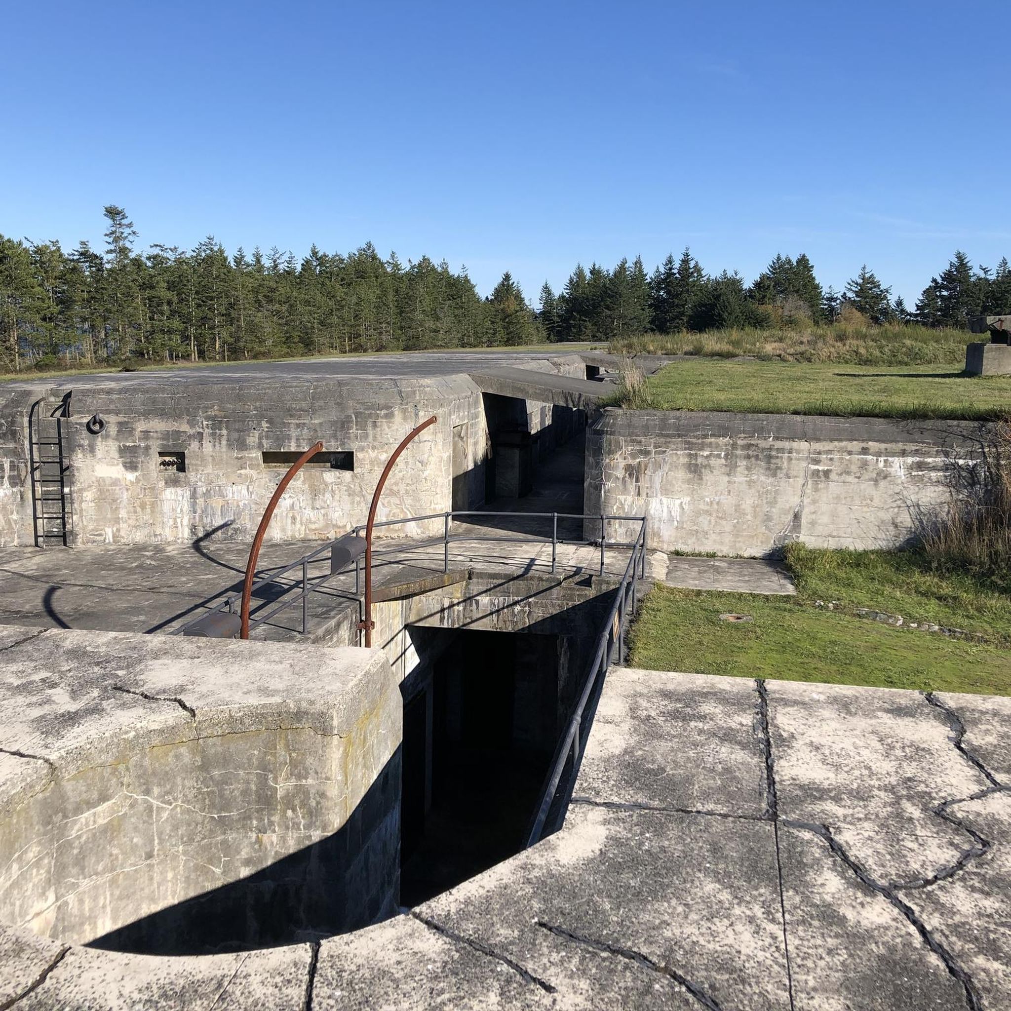
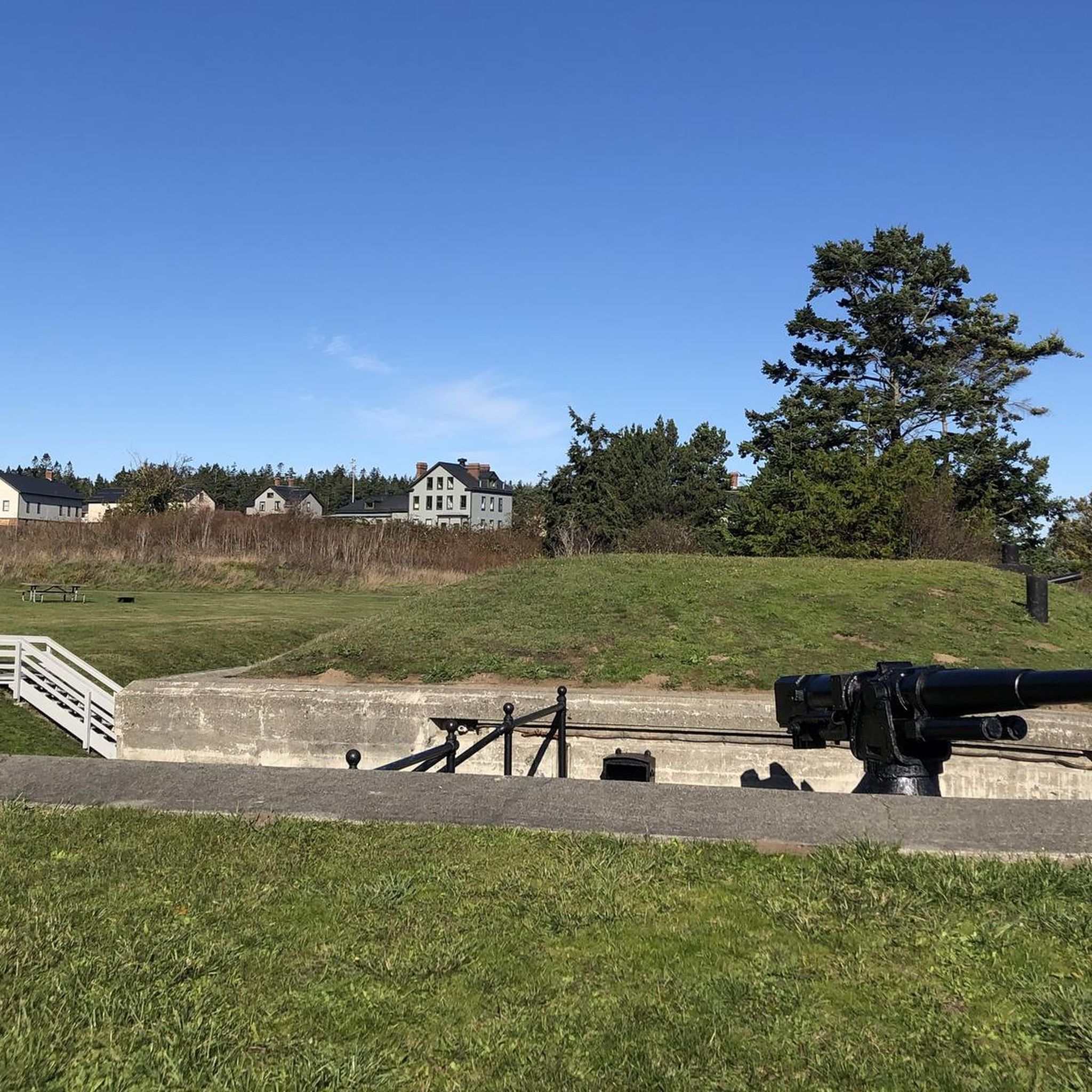
This historical park allows you to step back in time while enjoying a peaceful run through the grounds. Fort Flagler was built in the late 1890s and was fully operational during World War I, World War II and the Korean War. There are multiple trail options, all surrounded by 19,100 feet of salty shoreline to appreciate. There are stunning views of Mount Baker in the distance, Juan de Fuca to the north, Whidbey Island to the east and the Olympic Peninsula to the west. You will encounter historic structures along the route, a museum, a campground and restrooms.
0
0
Founded in 1870 by Samuel Hadlock, Port Hadlock's history is rooted in the timber industry. Hadlock contracted with the Washington Mill Company to construct a sawmill on a spit of land at the south end of Port Townsend Bay, where the deep waters were suitable for tall ships. This endeavor resulted in the establishment of a significant lumber mill. While much has changed since then, two structures from that era still stand in town today.
0
0
A quaint resort town that was initially a bustling logging and sawmill community. With the construction of the Hood Canal Bridge in 1960, this area transformed into a haven for upscale resorts and nice neighborhoods. It became a magnet for affluent folks seeking retirement, vacation properties, or a more convenient journey to the bustling business hubs on the west side of Puget Sound.
0
0
Scenic road from Port Townsend to Discovery Bay. This road is great for cycling as it's wooded and part of the Olympic Discovery Trail.
0
0
The Salmon and Snow Creek Estuary plays a vital role in safeguarding marine life habitats. Here, wildlife thrives and it's a great place to make a stop. You can find summer chum and salmon, making it an ideal sanctuary for Puget Sound Chinook, coho, sturgeon, steelhead, and cutthroat trout. This estuary fosters a flourishing ecosystem for shellfish, shorebirds, waterfowl, eagles, and elk.
0
0
A scenic route on the outskirts of Port Townsend. It winds through picturesque woodlands. It's a great road for cycling as it offers a shaded journey.
0
0
Frequently Asked Questions
How many road cycling routes are available around Marrowstone Island?
There are over a dozen road cycling routes available around Marrowstone Island, offering a variety of experiences for different skill levels. You'll find routes ranging from easy to difficult, with the majority being moderate.
What kind of terrain can I expect when road cycling around Marrowstone Island?
Marrowstone Island features generally flat to gently rolling terrain, with low-traffic country roads. While much of the island is relatively flat, some routes do include moderate elevation gains on paved surfaces, offering a bit of a challenge. The landscape transitions from saltwater shorelines and bluffs to dense forests and beaches.
What scenic viewpoints or landmarks can I see while road cycling on Marrowstone Island?
Road cycling routes on Marrowstone Island offer panoramic views of the Olympic and Cascade Mountains, the Strait of Juan de Fuca, and Puget Sound. You can also explore historical sites like Fort Flagler State Park, which features well-preserved gun emplacements and barracks. Other notable points of interest include the Port Townsend Historic District and the Fort Worden State Park nearby.
Are there road cycling routes suitable for beginners or families on Marrowstone Island?
Yes, Marrowstone Island offers routes suitable for beginners and families. While specific easy routes are available, many of the island's roads are low-traffic and relatively flat, making them enjoyable for less experienced riders. For example, the paved roads within Fort Flagler State Park offer an easy cycling experience.
Are there any challenging road cycling routes for experienced riders?
Yes, for experienced riders seeking a challenge, routes like Port Townsend to Mount Walker offer significant elevation gains over a longer distance. Other routes, such as Port Townsend To Discovery Bay, also feature substantial climbs for those looking for a more strenuous ride.
What do other road cyclists enjoy the most about road cycling in Marrowstone?
The road cycling experience around Marrowstone Island is highly rated by the komoot community, with an average score of 5.0 stars. Cyclists often praise the low-traffic country roads, the diverse coastal and town scenery, and the panoramic views of the surrounding mountains and Puget Sound.
Are there road cycling routes that are loop trails?
Yes, Marrowstone Island and the surrounding area offer several excellent loop trails for road cyclists. Popular options include the Port Townsend loop, which provides diverse coastal and town scenery, and the longer Port Townsend, Port Hadlock, and Port Ludlow loop, leading through multiple coastal communities.
Is parking available near the road cycling routes on Marrowstone Island?
Yes, parking is generally available, especially at key attractions and parks. For instance, Fort Flagler State Park, a popular cycling destination, offers parking facilities. When planning your ride, it's advisable to check specific starting points for parking availability.
Can I reach Marrowstone Island's cycling routes using public transport?
While Marrowstone Island itself has limited public transport options directly to trailheads, the nearby town of Port Townsend serves as a hub. From Port Townsend, you can access routes that lead to Marrowstone Island, such as Port Townsend to Fort Flagler. It's recommended to check local bus schedules for connections to Port Townsend.
Are there places to stop for refreshments or supplies along the routes?
Yes, Marrowstone Island offers a few charming spots for refreshments. The historic Nordland General Store serves as a community hub and is a convenient stop for supplies. Additionally, Marrowstone Vineyards offers wine tasting with stunning views. In nearby Port Townsend, you'll find a wider array of cafes and pubs.
What is the best time of year to road bike on Marrowstone Island?
The best time to road bike on Marrowstone Island is typically during the spring, summer, and early fall months. During these seasons, the weather is generally milder and drier, offering ideal conditions for cycling and enjoying the scenic views. Always check the local weather forecast before heading out.
Are there any specific permits required for road cycling on Marrowstone Island?
Generally, no specific permits are required for road cycling on the public roads of Marrowstone Island. However, if you plan to cycle within state parks like Fort Flagler, a Discover Pass may be required for vehicle access and parking. This pass supports Washington's state parks and recreation lands.
Most popular attractions around Marrowstone

Get inspired with the komoot mobile app


Explore more
Browse the best Road cycling routes in other regions.
