The best road cycling routes around Maple Heights-Lake Desire
4.6
(87)
2,225
riders
43
rides
Road cycling around Maple Heights-Lake Desire features a network of paved paths and urban-adjacent routes, primarily following river corridors and interurban trails. The terrain is generally low-gradient, characterized by river valleys and developed areas, with some moderate elevation changes on longer routes. This region offers accessible cycling opportunities connecting various local points of interest.
Best road cycling routes around Maple Heights-Lake Desire
- The most popular road cycling route is Cedar River and Interurban Trails Loop, a 46.0 miles (74.0…
Last updated: May 21, 2026
5.0
(1)
13
riders
74.0km
03:07
330m
330m
Moderate road ride. Good fitness required. Mostly well-paved surfaces and easy to ride.
4.5
(24)
345
riders
Moderate road ride. Good fitness required. Mostly well-paved surfaces and easy to ride.

Sign up for free
4.6
(8)
135
riders
32.2km
01:41
210m
210m
Easy road ride. Great for any fitness level. Mostly well-paved surfaces and easy to ride.
14
riders
Moderate road ride. Good fitness required. Mostly well-paved surfaces and easy to ride.
10
riders
32.8km
01:34
280m
280m
Easy road ride. Great for any fitness level. Mostly well-paved surfaces and easy to ride.
Get access to more routes and recommendations from other explorers.
Sign up for free
Already have an account?
Our route recommendations are based on thousands of hikes, rides, and runs completed by other people on komoot.
Start today with a free account
Your next adventure awaits.
Login or Signup


Tips from the Community

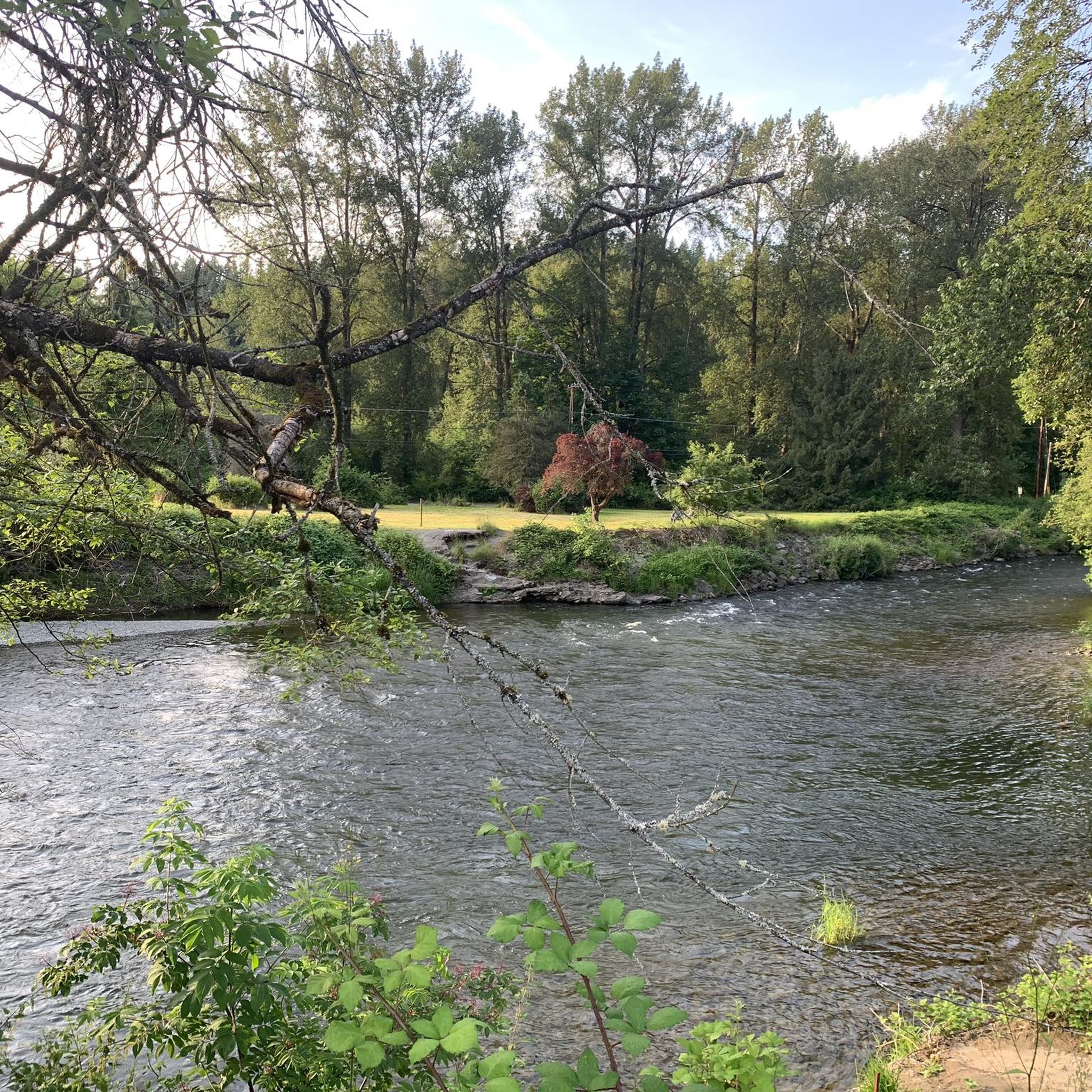
This spot along the Cedar River Trail is a great spot to stop and view the river or take a break just below the overpass for South Jones Road.
0
0

This park sits on a peninsula, surround by the Green River on three sides, and offer picnic areas, hiking trails, and fishing opportunities. But the highlight is the spectacular view of Mt. Rainier you get on clear days.
0
0


On clear days from this spot in Briscoe Park on the Green River Trail, you get great views of Mount Rainier. This is a nice spot to snap some photos before continuing on your hike.
0
0

The Cedar River Trail travels through a mix of urban and rural areas. It was built on a former railroad and roadside bicycle paths connecting the two. The trail spans 17.4 miles, starting at the Cedar River Watershed boundary in Landsburg and ending where the river meets Lake Washington in Renton. Cyclists and hikers can explore the river, cross bridges, and access natural areas. It also offers scenic views and convenient stops, with cyclists limited to certain speeds in specific sections.
0
0

When they are open, this is a perfect rest stop on any day out. The Cedar River trail is right across the street.
0
0
Yes, be very careful here - the trail loops under the highway and you need to slow waaaaay down to complete this safely.
2
0
Great ride, smooth asphalt and hard pack gravel trail sections, gentle grade along the river, funky old rail bridges and short underpass tunnels... Overall a really fun day out!
1
0
Frequently Asked Questions
How many road cycling routes are available in Maple Heights-Lake Desire?
There are over 40 road cycling routes in the Maple Heights-Lake Desire region, offering a variety of options for different skill levels. You'll find 11 easy routes and 31 moderate routes to explore.
What is the best time of year for road cycling in Maple Heights-Lake Desire?
The best time for road cycling in Maple Heights-Lake Desire is generally during the warmer months, from late spring through early autumn. Summer offers pleasant conditions for exploring the river corridors and interurban trails.
What are the typical conditions for road cycling in this region?
Road cycling in Maple Heights-Lake Desire primarily features paved paths and urban-adjacent routes. The terrain is generally low-gradient, following river valleys and developed areas, with some moderate elevation changes on longer routes. Conditions are usually well-maintained for road bikes.
What do other road cyclists enjoy about the routes in Maple Heights-Lake Desire?
The routes in Maple Heights-Lake Desire are highly rated by the komoot community, with an average score of 4.5 stars from over 70 reviews. Cyclists often praise the accessible cycling opportunities, the combination of riverside paths with interurban trails, and the varied terrain.
Are there easy or beginner-friendly road cycling routes in Maple Heights-Lake Desire?
Yes, the region offers 11 easy road cycling routes suitable for beginners. An excellent option is the Cedar River Trail – Cedar River Trail loop from Hazen High School, which is 20.0 miles (32.2 km) and leads through riverine natural areas.
Are there challenging road cycling routes for experienced cyclists?
While there are no routes explicitly graded as 'difficult,' many of the 31 moderate routes offer longer distances and more significant elevation changes for experienced cyclists. For example, the East Channel Bridge – Kennydale Beach Park loop from Kentridge High School covers 78.2 km with over 550 meters of elevation gain.
Are the road cycling routes suitable for families?
Many of the easy and moderate routes, especially those following river trails and interurban paths, are suitable for families. These routes often feature paved surfaces and relatively flat terrain, providing a safe and enjoyable experience for all ages. The Cedar River Overlook – Cedar River Trail loop from Mouth of Taylor Reach Natural Area is a shorter, easy option.
Are there loop road cycling routes in Maple Heights-Lake Desire?
Yes, many road cycling routes in the area are loops, allowing you to start and end at the same point. A popular example is the Cedar River and Interurban Trails Loop, which combines riverside paths with interurban trails for a comprehensive ride.
What natural attractions can I explore near the road cycling routes?
The region offers several natural attractions close to the cycling routes. You can find beautiful lakes like Lake Wilderness and the Soos Creek Duck Pond. There are also various peaks nearby, such as Squak Mountain Central Peak and Cougar Mountain Peak, offering scenic views.
What is the typical duration of road cycling routes in the area?
The duration of road cycling routes varies significantly. Shorter, easy routes like the Cedar River Overlook – Cedar River Trail loop can be completed in just over an hour, while longer, moderate routes such as the Cedar River and Interurban Trails Loop can take over 3 hours.
Are there scenic viewpoints along the road cycling routes?
Yes, many routes offer scenic viewpoints, particularly those that follow river corridors or pass by lakes. The East Channel Bridge – Renton Airport Bike Route loop, for instance, provides views of the East Channel. You can also find specific viewpoints like A south view of the lake near Lake Wilderness.
Where can I find parking for road cycling routes in Maple Heights-Lake Desire?
Parking is generally available near the starting points of many routes, especially those originating from local parks, high schools, or trailheads. Specific parking information can often be found on individual route pages on komoot or local park websites.
Most popular routes around Maple Heights-Lake Desire
Most popular attractions around Maple Heights-Lake Desire

Get inspired with the komoot mobile app


Explore more
Browse the best Road cycling routes in other regions.
