The best walks and hikes around Hobart
4.8
(181)
2,706
hikers
106
hikes
Hiking around Hobart navigates a landscape defined by the forested slopes of kunanyi/Mount Wellington and the coastline of the River Derwent estuary. The region's terrain includes mountain trails, coastal paths along sea cliffs, and walks through temperate forests to waterfalls. This geography provides a network of routes with varied elevation and difficulty, from accessible tracks in local reserves to more challenging hikes in nearby national parks.
Best hiking trails around Hobart
- The most popular hiking route is Elk Ridge and…
Last updated: October 10, 2026
9
hikers
5.41km
01:34
140m
140m
This easy 3.4-mile hiking loop in Taylor Mountain Forest features dense woods, a serene pond, and historical logging camp remnants.
5.0
(1)
7
hikers
7.83km
02:15
200m
200m
This 4.9-mile moderate hike in Taylor Mountain Forest offers diverse Pacific Northwest scenery and takes about 2 hours and 15 minutes.

3
hikers
5.15km
01:44
440m
0m
Embark on the South Tiger Mountain Summit trail, a moderate hike that winds through diverse mixed forests, often following old logging railroad grades. This 3.2-mile (5.2 km) route features a…
1
hikers
6.25km
01:38
20m
70m
Hike the easy 3.9-mile Cedar River Trail through lush forests and along the river, perfect for a relaxing outdoor adventure.
8.20km
02:42
610m
10m
Embark on a moderate 5.1-mile (8.2 km) hike to Tiger Middle Summit, a route that promises a diverse journey through deciduous, coniferous, and mixed forests. You'll navigate varied terrain, including…
Get access to more routes and recommendations from other explorers.
Already have an account?
Our route recommendations are based on thousands of hikes, rides, and runs completed by other people on komoot.
Start today with a free account
Your next adventure awaits.

Tips from the Community

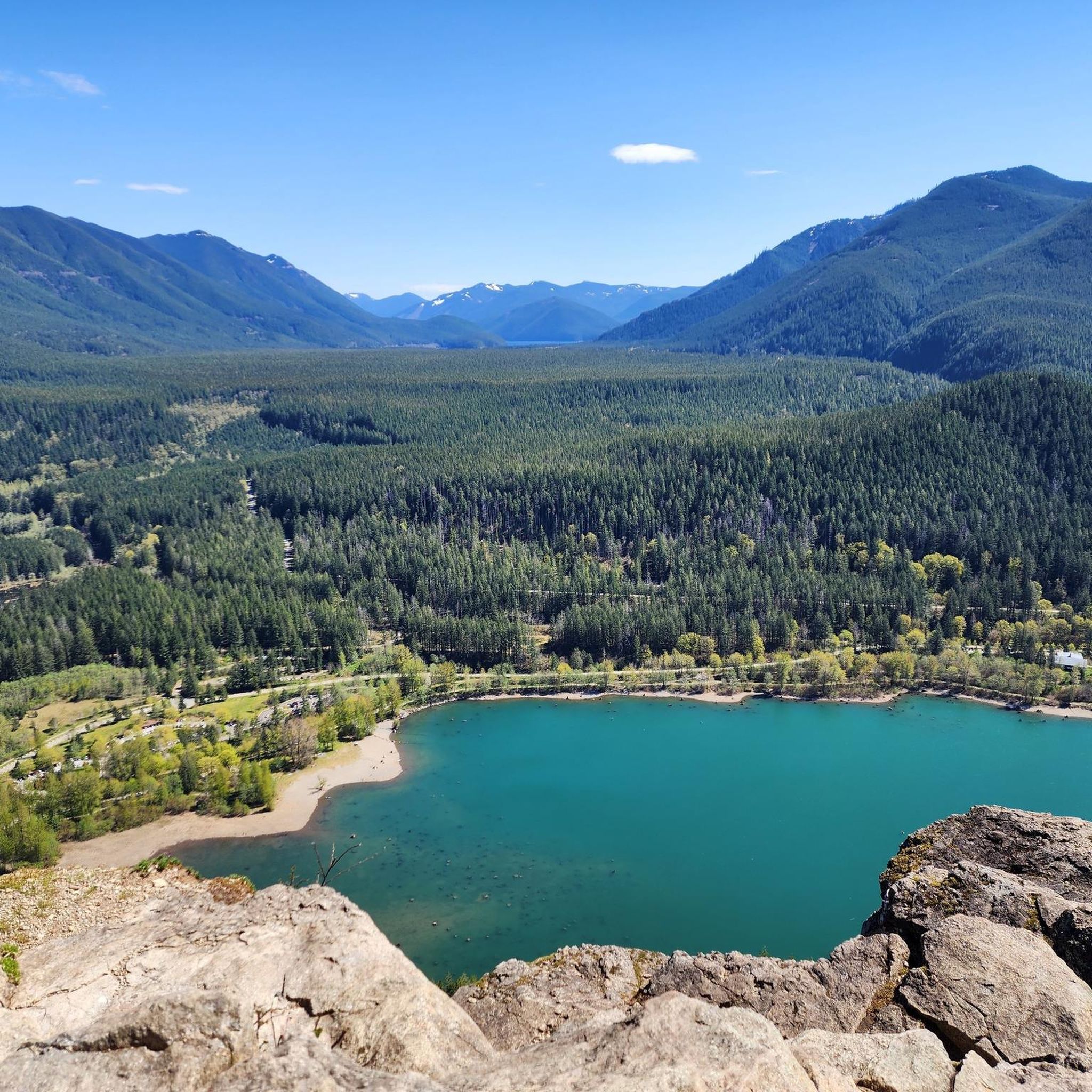
Landsburg Reach Natural Area comprises nine parcels totaling 24 acres, creating a serene sanctuary. While predominantly offering minimal public use, one parcel provides essential trail connections between Danville/Georgetown trails and the Cedar River Pipeline Road. The area holds potential for future acquisitions, promising expanded land support and opportunities for exploration.
0
0

Fun to cross all the bridges that you find along this trail - and great photo opportunities!
0
0

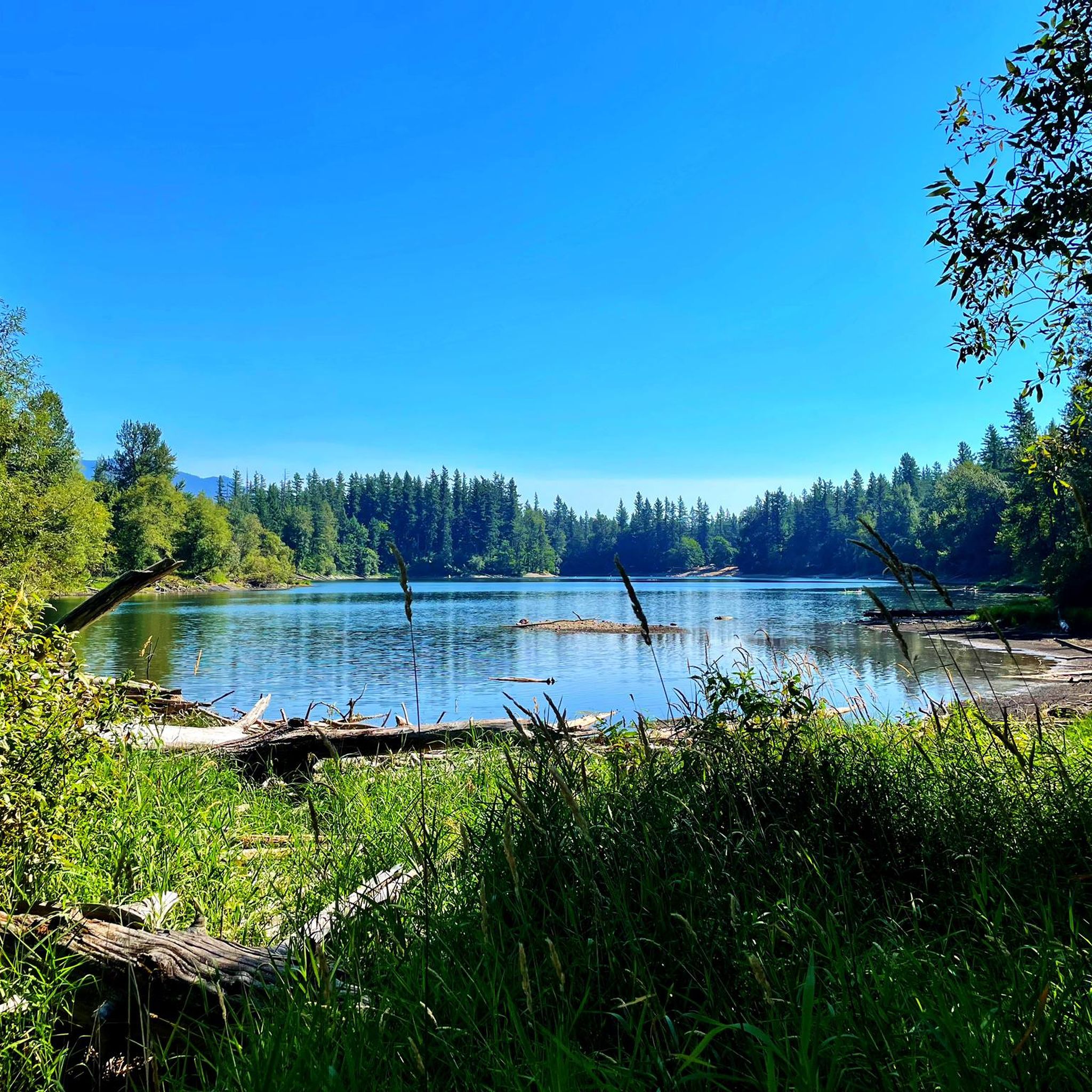
This area features well-maintained trails with the Cedar River meandering through. The lush greenery and moss-covered branches contribute to the peaceful ambiance of the surrounding area.
0
0
Landsburg Reach Natural Area comprises nine parcels totaling 24 acres, creating a serene sanctuary. While predominantly offering minimal public use, one parcel provides essential trail connections between Danville/Georgetown trails and the Cedar River Pipeline Road. The area holds potential for future acquisitions, promising expanded land support and opportunities for exploration.
0
0
Despite some trail marking issues and overgrown sections it offers a challenging hike through shaded woods, with glimpses of old-growth cedars and abundant wildlife like bumblebees and butterflies. While the summit spur trail may be challenging to find and follow, the trail provides a rewarding experience.
1
0

The trail follows the former rail bed. Its suitable for cycling and hiking with beautiful and scenic parts.
0
0
Frequently Asked Questions
How many hiking trails are there around Hobart?
You can explore over 75 hiking routes around Hobart. These range from easy strolls in local reserves to challenging multi-day treks in the surrounding national parks, offering plenty of options for all fitness levels.
What do other hikers enjoy about the trails in Hobart?
The trails around Hobart are highly regarded by the komoot community. Hikers often praise the incredible diversity of the landscape, from the dramatic dolerite columns of kunanyi/Mount Wellington to the stunning coastal scenery of the Tasman Peninsula.
Are there any easy, family-friendly walks near Hobart?
Yes, there are many accessible walks perfect for families. The trail to Myrtle Gully Falls is a popular short walk through the forest. For a bit more of a walk with city views, Knocklofty Reserve offers pleasant, well-marked trails that are suitable for all ages.
Where can I find hikes with waterfalls?
Mount Field National Park is famous for its waterfalls. The Three Falls Circuit is a fantastic loop that takes you to the iconic, three-tiered Russell Falls, as well as Horseshoe Falls and Lady Barron Falls, all set within a beautiful rainforest of giant ferns and tall trees.
What are some good coastal walks near Hobart?
The Tasman Peninsula offers some of Australia's most spectacular coastal hiking. You can explore trails leading to dramatic sea cliffs and geological wonders like the Tasman Arch and Devils Kitchen. For a shorter walk with a unique reward, the track to Remarkable Cave leads down to a stunning sea-carved tunnel.
Are there any challenging hikes for experienced trekkers?
For a significant challenge, the High School Trail, Chirico Trail & Poo Poo Trail loop offers considerable elevation gain through dense forest. Another demanding option is the hike to Cape Raoul on the Tasman Peninsula, which rewards strenuous effort with breathtaking views of towering dolerite sea cliffs.
Can I take my dog on hikes around Hobart?
Dogs are generally not permitted in Tasmania's national parks, including Mount Field and Tasman National Park, to protect the native wildlife. However, some council reserves closer to the city, like Knocklofty Reserve, are dog-friendly. Always check local signage for specific on-leash and off-leash area regulations before you go.
What is the Organ Pipes Circuit on kunanyi/Mount Wellington like?
The Organ Pipes Circuit is a classic kunanyi/Mount Wellington hike that offers an up-close look at the mountain's iconic dolerite columns. The trail traverses sub-alpine terrain, passing historic huts and offering spectacular views over Hobart. It's a moderately challenging loop with some rocky sections and steep climbs.
Are there any circular walks available?
Yes, there are many excellent loop trails. The May Valley Trail loop is a great option that takes you through dense woodland. For a longer circuit with varied terrain, the South Tiger Mountain Loop follows a mix of fire trails and singletrack.
Can I access any hiking trails using public transport?
Yes, several trails on kunanyi/Mount Wellington can be accessed via public transport from Hobart. Buses run from the city to Fern Tree, which is the starting point for numerous walks, including the Pipeline Track and various routes leading up the mountain. It's a convenient way to explore the park without a car.
What should I pack for a day hike in the Hobart area?
Tasmania's weather can change very quickly, especially on kunanyi/Mount Wellington. It's essential to be prepared for all conditions. Always pack waterproof and windproof layers, warm clothing, sturdy hiking shoes, a hat, sunscreen, and plenty of water and snacks. A map or a navigation app like komoot is also highly recommended.
Most popular attractions around Hobart

Get inspired with the komoot mobile app


Explore more
Browse the best Hikes in other regions.
