The best MTB trails around Filz
4.5
(1165)
3,472
riders
342
rides
Mountain biking around Filz offers diverse terrain within the Cochem-Zell district of Rhineland-Palatinate, Germany. The region is situated between the Eifel and Hunsrück low mountain ranges, providing varied landscapes from gentle hills to steeper slopes. Dense forests and scenic routes characterize the area, making it suitable for mountain biking. The broader Eifel region is known for its natural beauty and extensive trail networks.
Best mountain bike trails around Filz
- The most popular mountain bike trail is Foaschtkaulhütte – Alflen War…
Last updated: October 30, 2026
4.2
(5)
18
riders
19.2km
01:16
230m
230m
Moderate mountain bike ride. Advanced riding skills necessary.
4.8
(8)
16
riders
Moderate mountain bike ride. Good fitness required. Advanced riding skills necessary.

3.7
(3)
13
riders
25.2km
01:42
330m
330m
Moderate mountain bike ride. Good fitness required.
4.7
(7)
17
riders
29.5km
02:04
420m
420m
Moderate mountain bike ride. Good fitness required.
8
riders
73.9km
06:55
1,470m
1,470m
Hard mountain bike ride. Very good fitness required. Advanced riding skills necessary.
Get access to more routes and recommendations from other explorers.
Already have an account?
Our route recommendations are based on thousands of hikes, rides, and runs completed by other people on komoot.
Start today with a free account
Your next adventure awaits.
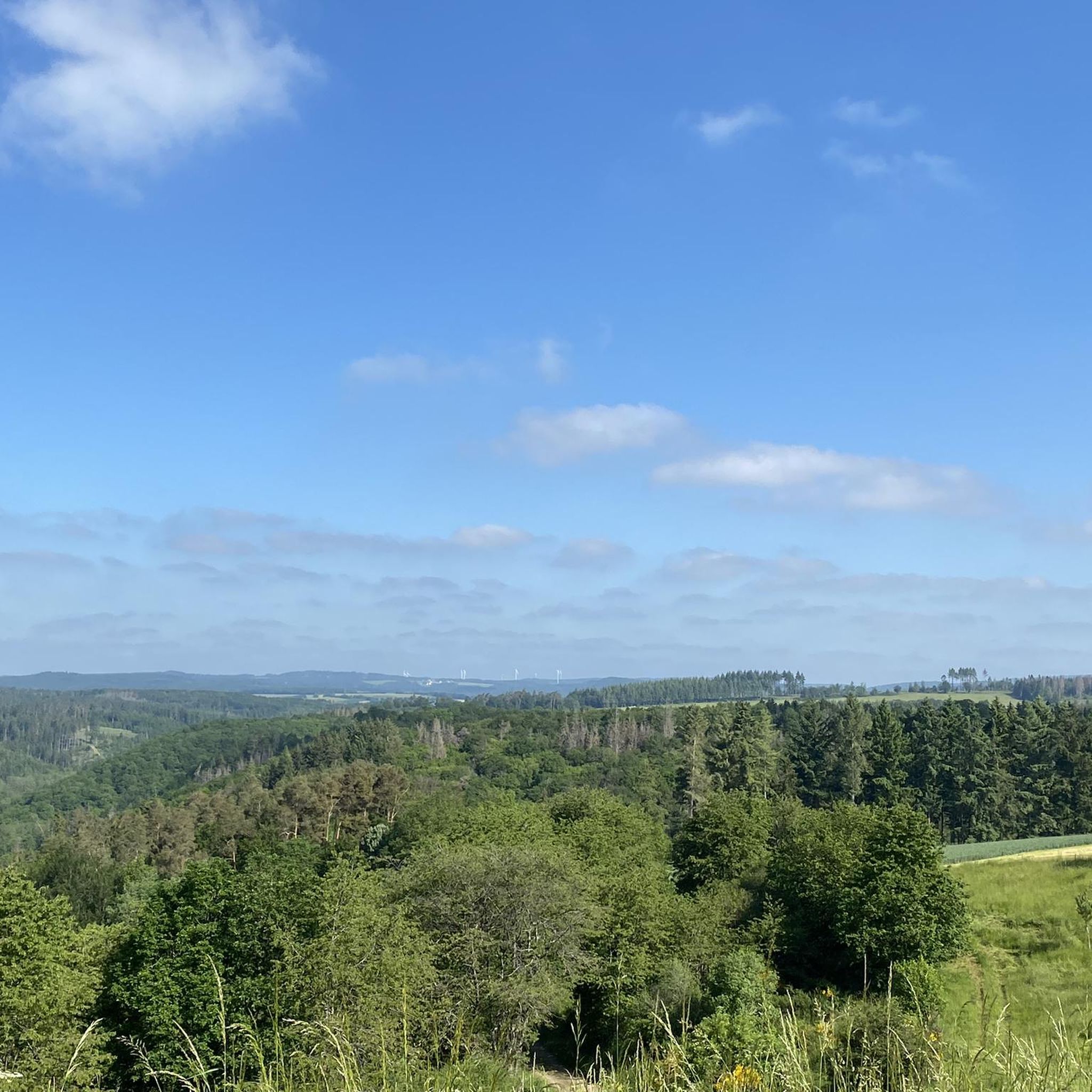
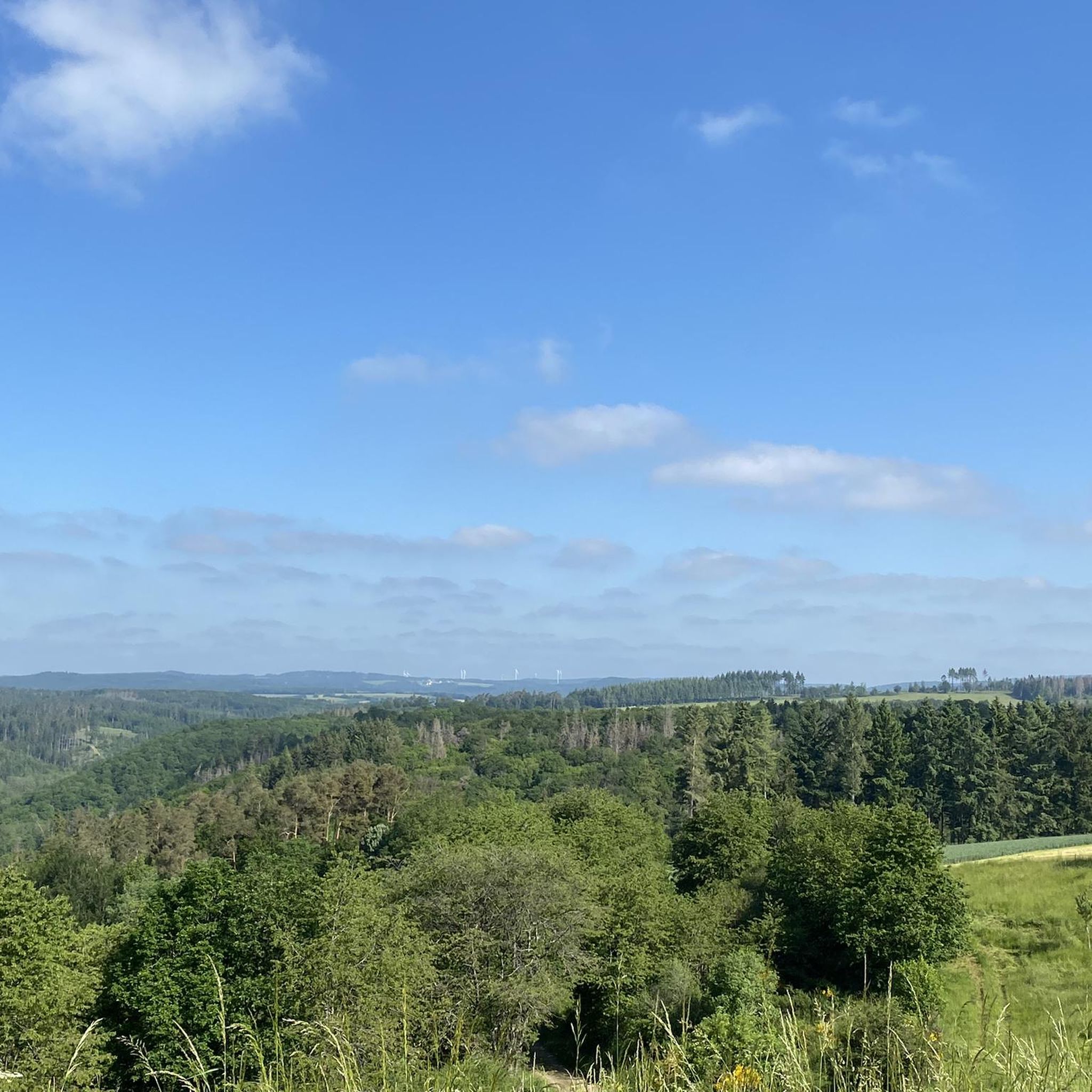
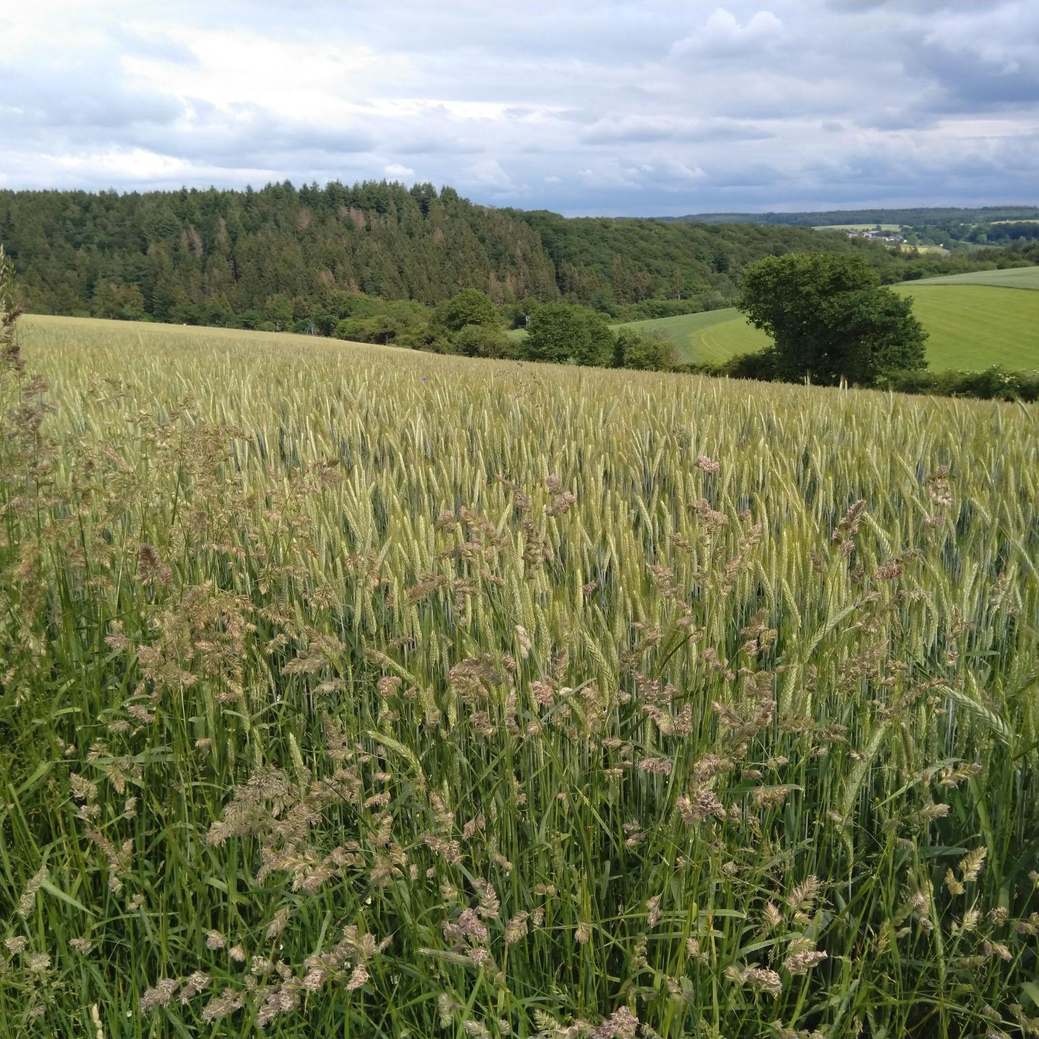
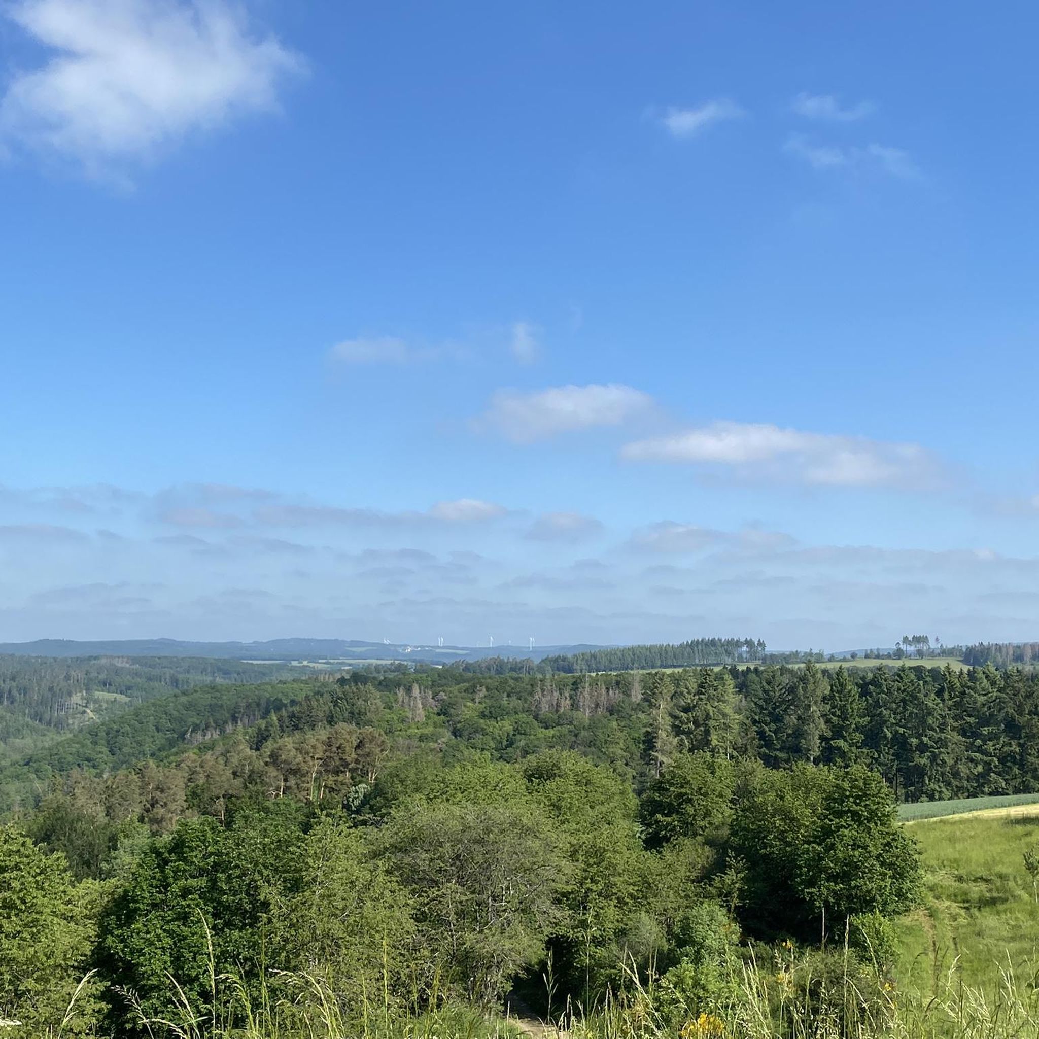

Tips from the Community


The rotunda displays shiny figures made of fiberglass, reminiscent of traditional crafts and the village history of Alf (including the "Alfer Baachspautzer").
1
0

Not possible to see the lake anymore in 2026 due to growth of the bushes
0
0

I haven't seen a bridge like this before.
6
0

....super great idea to offer drinks here. Thank you very much
1
0

very wide, not technical but funny
2
0

Weinfelder Maar - Impressive Evidence of Explosive Geological History The Weinfelder Maar – also known as Totenmaar – is one of the three so-called Daun Maars. It is located about 2 kilometers from our district town of Daun, near the municipality of Schalkenmehren, between the Gemünden and Schalkenmehren Maars. It has a diameter of approximately 525 meters and a depth of 51 meters, making it the deepest of the three Daun Maars. It is the youngest and, at 487 meters above sea level, the highest of the three closely adjacent maars, which formed between 20,000 and 30,000 years ago. Text / Source: Natur- und Geopark Vulkaneifel GmbH, Mainzer Str. 25, Daun https://www.geopark-vulkaneifel.de/eifel/landschaft/maare-und-kraterseen/weinfelder-maar.html
12
0
Weinfelder Maar The Weinfelder Maar, formed by volcanic activity around 20,000 to 30,000 years ago, is the highest of the three Daun Maars at 487 meters above sea level. The lake is 51 meters deep and has a diameter of 396 to 429 meters. An almost melancholic atmosphere surrounds the maar. Many legends surround the tranquil Eifel eye. A castle is said to have once stood on the site of the crater, where a count lived with his wife and only child. After returning home from a hunt, the castle had sunk as punishment for the woman's nastiness, and he found only a lake where a cradle miraculously floated his child safely to the shore. If you look at the dark surface of the water long enough, it is said that you can make out the outline of the castle. The German landscape painter Fritz von Wille was so fascinated by the Weinfelder Maar that he repeatedly immortalized it in his paintings. Among his favorite motifs was the small chapel on the north bank, dedicated to Saint Martin. It was once the parish church of the village of Weinfeld, which was ravaged by the plague in the 16th century. Anyone who rings the bells inside by pulling the ropes can make a wish. To this day, the associated cemetery is maintained and used by the local community of Schalkenmehren. This is also where its second name, Totenmaar, comes from. Donkeys and goats have been introduced to the Weinfelder Maar to regulate vegetation. The maar's unique flora and fauna are protected. Swimming and other water sports are prohibited in the Weinfelder Maar, but a nearly two-kilometer-long path makes it a wonderful place to explore on foot. Parking: Guests can park along the L64 either in the parking lot at the Weinfelder Maar or on the Maarsattel between the Weinfelder Maar and the Schalkenmehrener Maar. Text / Source: GesundLand Vulkaneifel GmbH, Leopoldstr. 9 A, 54550 Daun https://www.eifel.info/a-weinfelder-maar
12
0
Frequently Asked Questions
How many mountain bike trails are available around Filz?
There are over 360 mountain bike trails around Filz, offering a wide variety of options for different skill levels. This includes 57 easy routes, 237 moderate routes, and 67 difficult routes.
What kind of terrain can I expect when mountain biking near Filz?
The terrain around Filz, situated in the Cochem-Zell district between the Eifel and Hunsrück low mountain ranges, offers diverse landscapes. You can expect a mix of gentle hills and steeper slopes, dense forests, and scenic routes characteristic of the Eifel region. Many routes feature varied terrain, providing both challenging climbs and enjoyable descents.
Are there any mountain bike trails suitable for beginners around Filz?
Yes, there are 57 easy mountain bike routes around Filz. These trails are generally less demanding, making them suitable for beginners or those looking for a more relaxed ride. While specific beginner routes aren't highlighted here, komoot offers a wide selection to explore.
Are there any challenging mountain bike trails for experienced riders?
Absolutely. For experienced riders seeking a challenge, there are 67 difficult mountain bike routes around Filz. An example of a more demanding route is the Maischquelle Natural Spring – Falkenlay Observation Tower loop from Schmitt, which covers 33.5 km with over 660 meters of elevation gain.
What natural features or landmarks can I see along the mountain bike trails near Filz?
The region offers several natural features and landmarks. You can ride to the impressive The Rausch Waterfall, which is part of the Göbelsmühle – The Rausch Waterfall loop from Auderath. Other highlights in the wider area include various caves like the Falkenlay Stone Age Caves and the Juliusstollen and Kaulenmännchen Sculpture.
Are there any circular mountain bike routes available?
Yes, many of the mountain bike trails around Filz are designed as loops. For instance, the popular Foaschtkaulhütte – Alflen War Memorial Chapel loop from Gillenbeuren is a 19.9 km circular route. Another option is the Bullay Double-Deck Bridge – Maischquelle Natural Spring loop from Gillenbeuren, a longer 53.1 km loop that offers views of the Mosel river.
What do other mountain bikers say about the trails in Filz?
The mountain bike trails around Filz are highly regarded by the komoot community, with an average rating of 4.6 stars from over 1,200 reviews. More than 4,000 mountain bikers have explored the area using komoot, often praising the varied terrain, dense forests, and the overall scenic beauty of the Eifel region.
When is the best time of year for mountain biking in Filz?
The Eifel region, where Filz is located, generally offers good mountain biking conditions from spring through autumn. The diverse landscapes are particularly beautiful during these seasons. While winter riding is possible, trail conditions can vary due to snow or ice, so it's advisable to check local conditions before heading out.
Are there any trails that offer viewpoints or scenic vistas?
Yes, the region's varied topography means many trails offer scenic views. While specific viewpoints are not detailed for every route, the broader Cochem-Zell district is known for its natural beauty, including the Mosel Valley. Routes like the Maischquelle Natural Spring – Falkenlay Observation Tower loop from Schmitt suggest the presence of observation points like the Falkenlay Observation Tower.
Are the mountain bike trails around Filz suitable for families?
With 57 easy routes available, there are definitely options for families looking for less strenuous rides. These trails typically feature gentler gradients and less technical terrain, making them more accessible for riders of all ages and skill levels. It's recommended to filter for 'easy' routes on komoot to find the most suitable options for a family outing.
Can I bring my dog on the mountain bike trails?
While many trails in natural areas are dog-friendly, it's always best to check specific trail regulations or local signage. Generally, dogs are welcome on trails in the Eifel region, but they should be kept on a leash, especially in forested areas or near wildlife. Ensure your dog is fit enough for the ride and bring plenty of water for both of you.
Is there parking available near the trailheads in Filz?
As a small municipality within a popular outdoor region, parking is generally available in or near the starting points of trails, especially in larger villages or towns nearby. For specific routes, it's advisable to check the route details on komoot, as many tour descriptions include information about parking facilities at the trailhead.
Most popular attractions around Filz

Get inspired with the komoot mobile app


Explore more
Browse the best MTB trails in other regions.
