The best walks and hikes around Filderstadt
4.5
(725)
3,702
hikers
196
hikes
Hiking around Filderstadt traverses a varied landscape, situated on the edge of the Schönbuch forest and the Filder Plateau. The region features extensive woodlands, picturesque valleys like the Siebenmühlental, and open agricultural plains. This diverse terrain offers a mix of shaded forest paths, rolling hills, and elevated viewpoints such as the Uhlbergturm.
Best hiking trails around Filderstadt
- The most popular hiking route is Tree With Carved Face – Uhlberg Tower loop from Plattenhardt, a 3.3 miles (5.4 km) trail…
Last updated: September 24, 2026
4.4
(50)
242
hikers
6.51km
01:45
90m
90m
Easy hike. Great for any fitness level. Easily-accessible paths. Suitable for all skill levels.
4.7
(61)
182
hikers
10.8km
03:07
260m
260m
Moderate hike. Good fitness required. Easily-accessible paths. Suitable for all skill levels.

4.4
(27)
119
hikers
8.28km
02:14
110m
110m
Moderate hike. Good fitness required. Easily-accessible paths. Suitable for all skill levels.
4.7
(17)
155
hikers
Easy hike. Great for any fitness level. Easily-accessible paths. Suitable for all skill levels.
4.5
(46)
250
hikers
5.25km
01:25
70m
70m
Easy hike. Great for any fitness level. Easily-accessible paths. Suitable for all skill levels.
Get access to more routes and recommendations from other explorers.
Already have an account?
Our route recommendations are based on thousands of hikes, rides, and runs completed by other people on komoot.
Start today with a free account
Your next adventure awaits.
Popular around Filderstadt
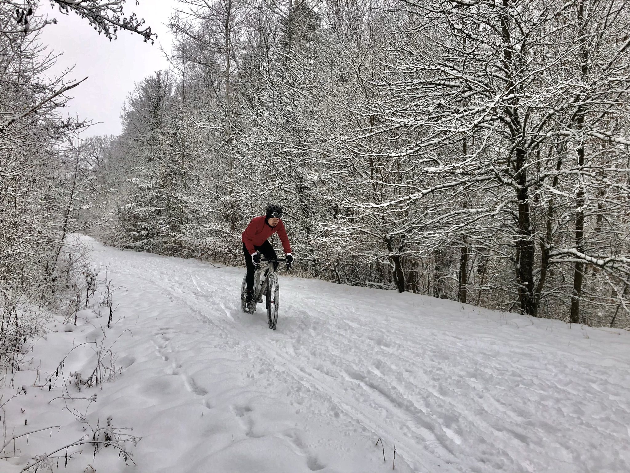
Winter.Gravel.Sweat – gravel and sauna fun in Germany’s Swabia
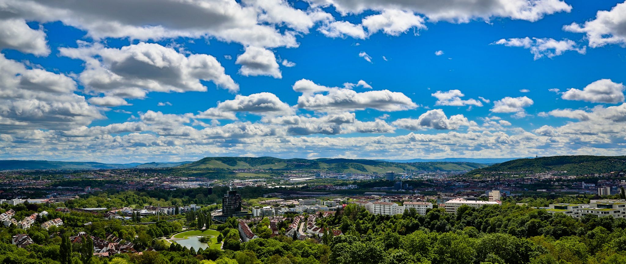
The most beautiful Sunday excursions around Stuttgart
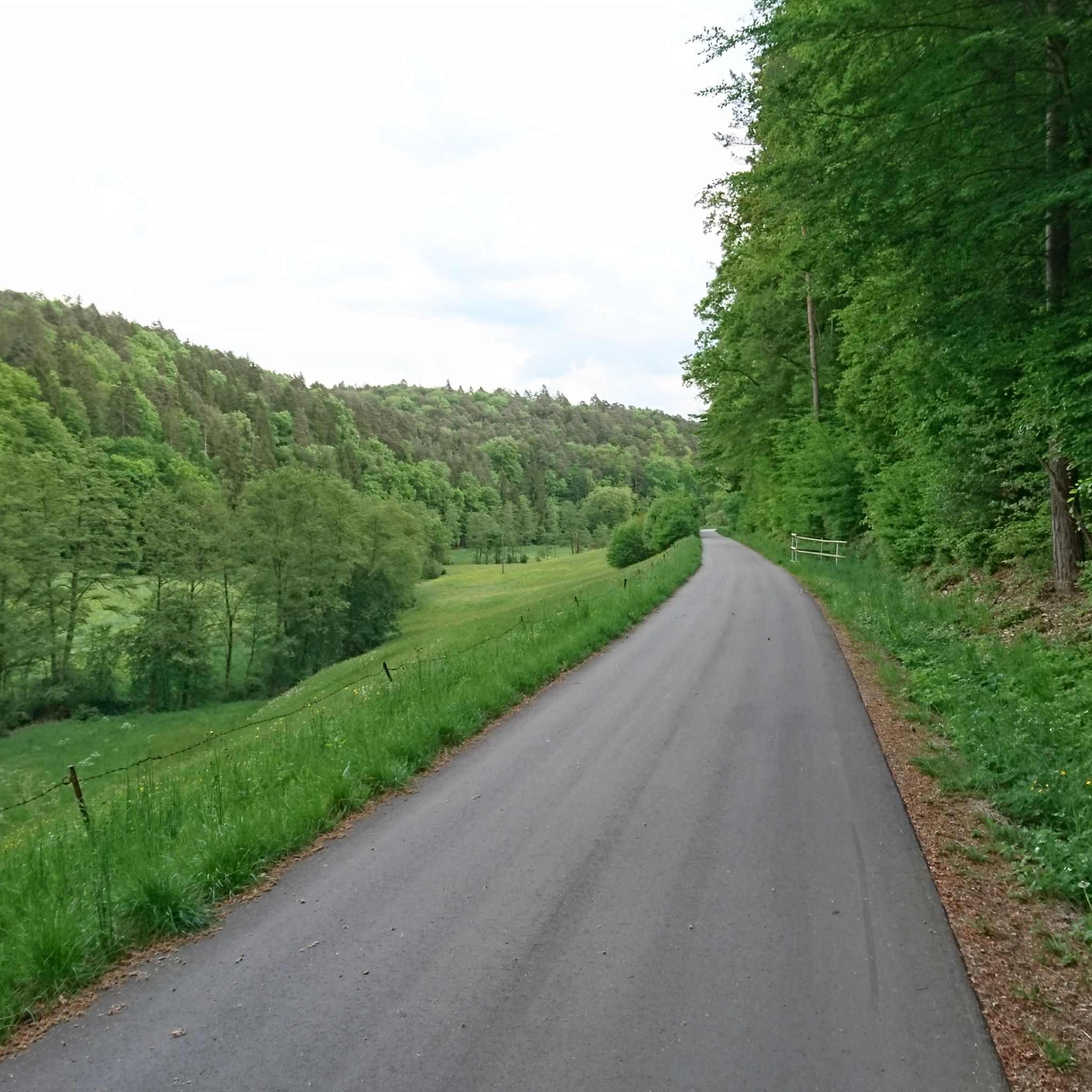
Cycling around Filderstadt
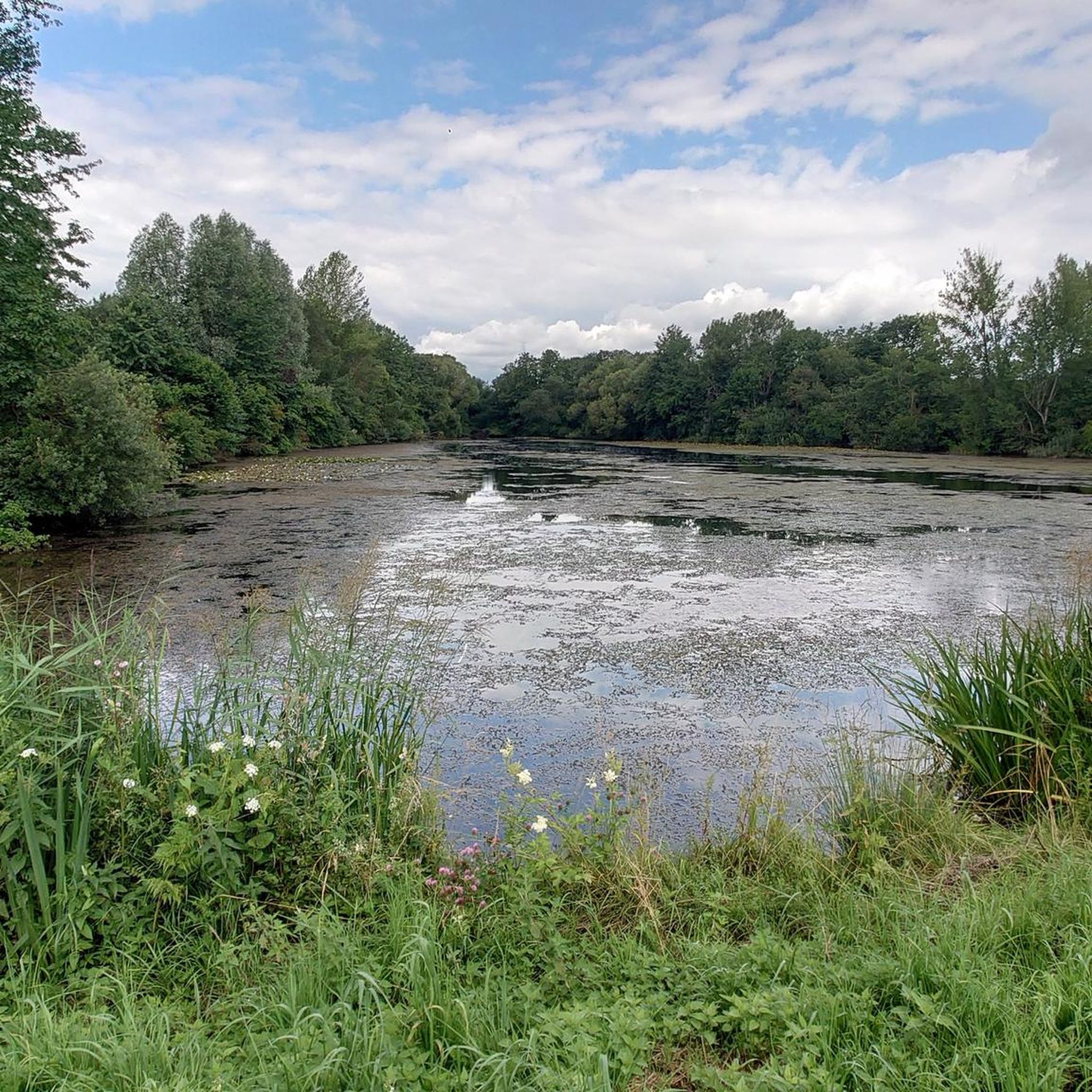
Road Cycling Routes around Filderstadt
Running Trails around Filderstadt
MTB Trails around Filderstadt
Gravel biking around Filderstadt

Mountain Hikes around Filderstadt


Tips from the Community

The monument, also known as Herdfelderstein, is located in the Uhlberg forest area. Jakob Herdfelder was a day laborer and woodcutter from Plattenhardt. According to local church records, he met with a fatal "accident while felling trees" at this spot.
1
0
Directly on the meadow at the foot of the Uhlbergturm is a viewing platform built in 2017. A large photo board is mounted there, which serves as an orientation aid. It shows the panorama of the Swabian Jura and describes which mountains and peaks (like the Hohenzollern or the three Kaiserberge) are visible in the distance.
1
0
The stone is located below the well-known Uhlbergturm near a garden area on the Mittlerer Wengerterweg. It measures 92 cm in height, 26 cm in width, and 47 cm in depth, and bears the engraved year "1580" as a distinctive inscription.
5
0
In Neuenhaus, the hiking trail begins near the Uhlberg restaurant and leads uphill to the Uhlbergturm. On both the right and left sides of the path, you can discover diverse grimaces. Lovingly incorporated into trees and tree stumps, the forest has a fairytale-like and legendary quality. The nature artist of the Fratzenweg, Adalbert Bachofer, displays his art not only along the trail but also in his studio at the beginning of the route.
4
0
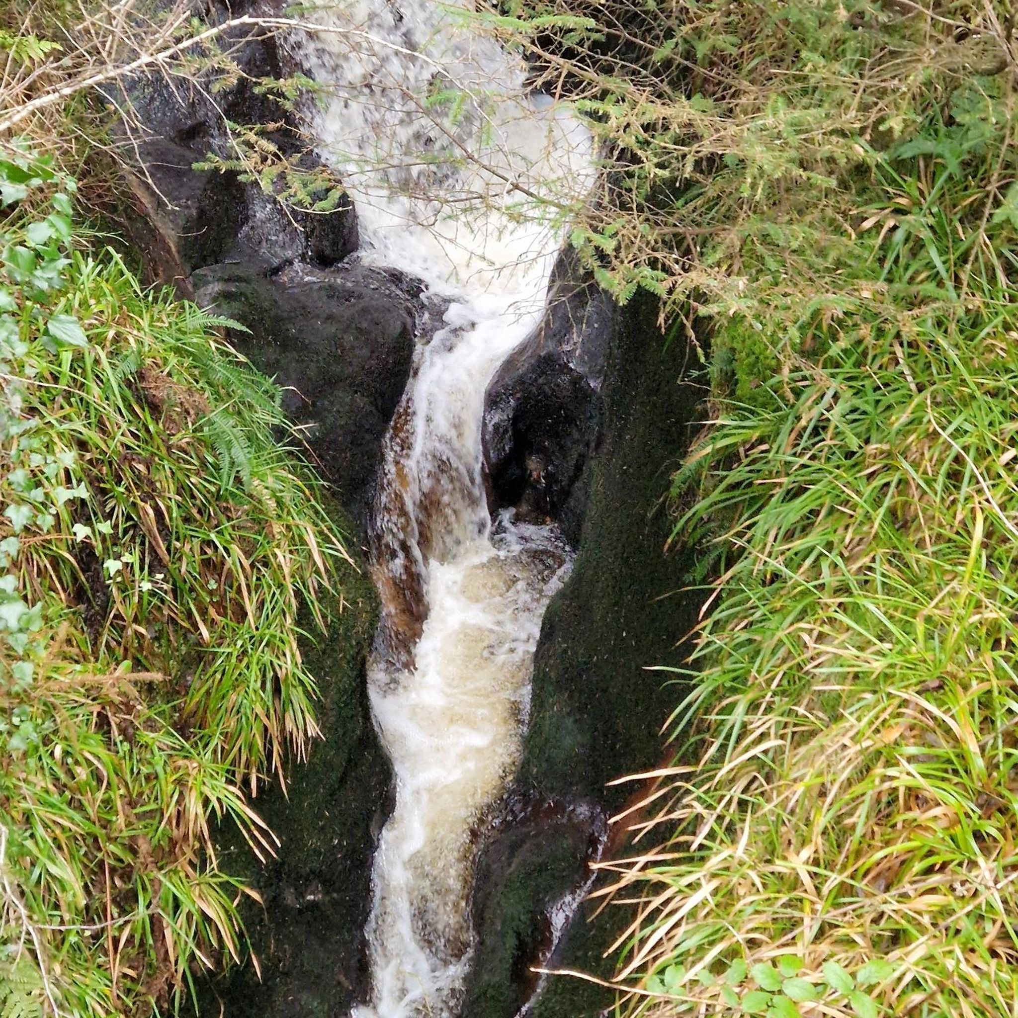
Beautiful view from a bridge onto the course of the Aich. Especially after rain, the water rushes audibly over a small water step.
7
0

The Aich is a left and western tributary of the Neckar, approximately 30 km long. It rises near Holzgerlingen (LK Böblingen) and flows into the Neckar near Nürtingen.
8
0
From this viewpoint, with good visibility, you can make out the Swabian Jura with the distinctive points from Hohenneuffen over Jusi, Floriansberg and Wackerstein to Reutlinger Georgenberg.
8
0

A small bridge crosses the Aich River. Very idyllic location.
2
0
Frequently Asked Questions
What types of landscapes will I encounter on hikes around Filderstadt?
Hiking around Filderstadt offers a diverse experience, blending extensive woodlands of the
Schönbuch forest with the picturesque valleys like the Siebenmühlental. You'll also find yourself on the open, agriculturally rich Filder Plateau, characterized by rolling hills and fields. This mix provides both shaded forest paths and elevated viewpoints with distant vistas.
How many hiking trails are available around Filderstadt, and what are their difficulty levels?
There are over 170 hiking routes available around Filderstadt. The majority, about 135, are classified as easy, making them suitable for casual walkers. Additionally, there are 37 moderate trails and a few more challenging options for experienced hikers.
Are there any trails with scenic viewpoints or panoramic views?
Yes, several trails offer excellent views. The
Uhlbergturm is a prominent landmark providing panoramic vistas over the Filder plateau. You can reach it via routes like the Uhlberg Trailhead Parking – Uhlberg Tower loop from Plattenhardt, which is an easy 3 km walk.
Are there any family-friendly hiking options in Filderstadt?
Absolutely. Many of the easy trails are suitable for families. The
Bärensee (Filderstadt) – Bärensee, Filderstadt loop from Stetten is an easy 6.5 km loop that takes about 1 hour 45 minutes, offering a pleasant walk around the lake area. The Siebenmühlental also provides gentle paths ideal for family outings.
Can I bring my dog on hikes around Filderstadt?
Most hiking trails around Filderstadt are dog-friendly, allowing you to enjoy the diverse landscapes with your canine companion. It's always recommended to keep dogs on a leash, especially in nature reserves, agricultural areas, or near wildlife. Please also ensure you clean up after your dog.
Are there any hiking trails that feature waterfalls near Filderstadt?
Yes, you can find waterfalls in the broader region.
Notable ones include the Heslacher Waterfalls and the Stepped Waterfall on the Föllbach. While not directly within Filderstadt, these natural features are accessible for a rewarding extension to your hiking adventures.
What do other hikers enjoy most about hiking in Filderstadt?
The hiking routes in Filderstadt are highly rated by the komoot community, with an average score of 4.4 stars from over 400 reviews. Hikers often praise the varied terrain that combines forests and open fields, the well-maintained paths, and the opportunities for both challenging climbs and relaxing strolls.
Are there any circular hiking routes available?
Yes, many of the trails around Filderstadt are designed as circular routes, allowing you to start and end at the same point.
For example, the Fratzenweg – Uhlberg Tower loop from Plattenhardt is a popular 8.6 km circular trail that offers views from the Uhlberg Tower.
Are there any historical or cultural attractions along the hiking trails?
The
Siebenmühlental (Seven Mills Valley) is a highlight, featuring a path that winds past original historical mills, some of which now house inns. This valley leads to the charming old town of Waldenbuch, home to the Ritter Sport chocolate factory and museum, offering a delightful stop.
What is the best time of year to go hiking in Filderstadt?
Filderstadt offers pleasant hiking experiences throughout the year. Spring is beautiful with fruit blossoms on the Filder Plateau, while summer provides shaded forest paths. Autumn brings vibrant colors to the Schönbuch forest, and even mild winter days can be enjoyable for a crisp walk.
Are there options for parking near the trailheads?
Yes, many popular trailheads around Filderstadt, especially those leading to significant points like the Uhlbergturm or within the Siebenmühlental, offer designated parking areas for hikers. It's generally easy to find parking close to the starting points of the routes.
Can I reach hiking trails around Filderstadt using public transport?
Filderstadt is well-connected within the Stuttgart region's public transport network. Many starting points for hikes, particularly those closer to the town centers or along the Siebenmühlental, are accessible by bus or S-Bahn, making it convenient to reach the trails without a car.
Most popular routes around Filderstadt
Most popular attractions around Filderstadt

Get inspired with the komoot mobile app


Explore more
Browse the best Hikes in other regions.
