The best road cycling routes around Blaine
4.1
(10)
164
riders
12
rides
Road cycling routes around Blaine feature a landscape characterized by coastal areas, state parks, and regional parklands. The terrain includes waterfront paths, gentle hills, and routes that traverse natural habitats. This region offers a mix of flat stretches and moderate ascents, making it suitable for various road cycling experiences.
Best road cycling routes around Blaine
- The most popular road cycling route is Elgin Creek Salmon Habitat – Peninsula United Church loop from South Surrey, a 17.1 miles (27.5 km)…
Last updated: November 4, 2026
5.0
(3)
47
riders
28.1km
01:17
310m
310m
Moderate road ride. Good fitness required. Some segments of this route may be unpaved and difficult to ride.
5.0
(2)
32
riders
59.4km
02:44
430m
430m
Moderate road ride. Good fitness required. Mostly well-paved surfaces and easy to ride.

29
riders
46.6km
02:08
220m
220m
Moderate road ride. Good fitness required. Mostly well-paved surfaces and easy to ride.
14
riders
42.5km
01:56
340m
340m
Moderate road ride. Good fitness required. Some segments of this route may be unpaved and difficult to ride.
3.5
(2)
13
riders
18.5km
00:52
170m
170m
Easy road ride. Mostly well-paved surfaces and easy to ride.
Get access to more routes and recommendations from other explorers.
Already have an account?
Our route recommendations are based on thousands of hikes, rides, and runs completed by other people on komoot.
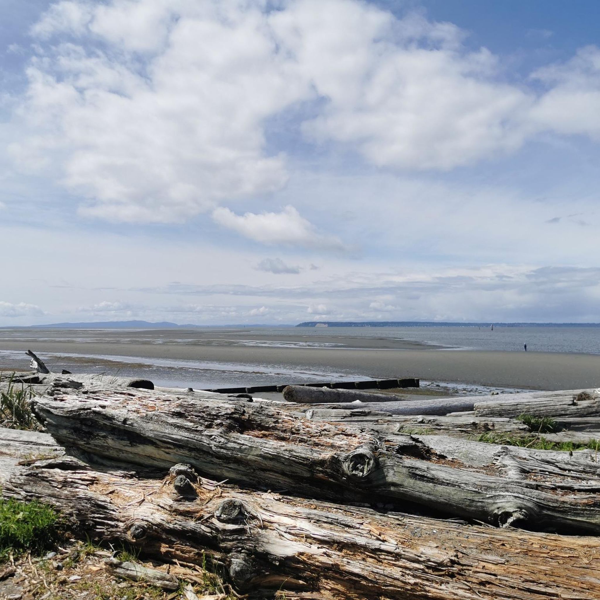
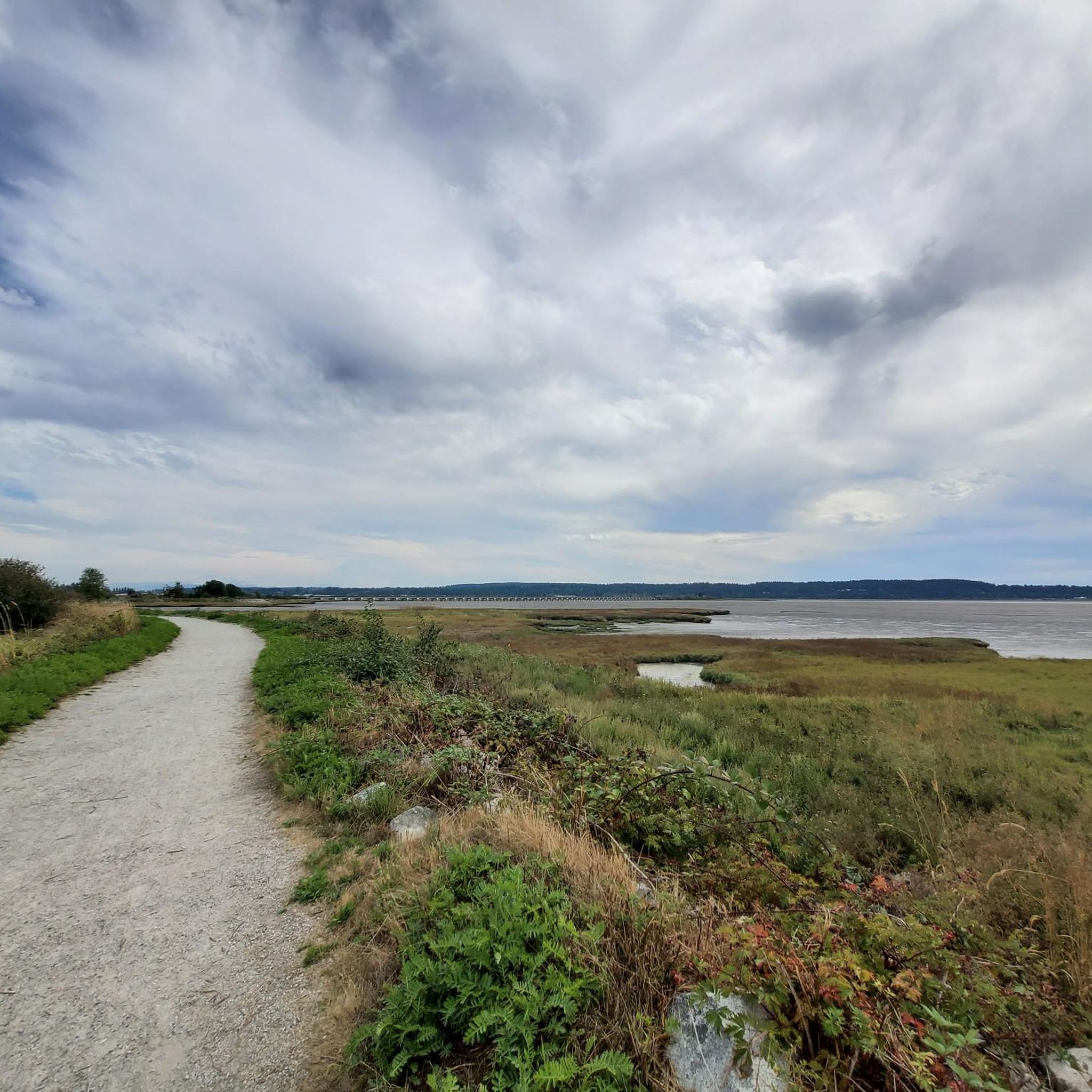
Tips from the Community

This park was created from the land left by six historical farms with a historical farmstead and schoolhouse still on park grounds, though the farmstead is privately owned. You'll find nearly 30 kilometres of mixed use trails as well as a visitor's centre, picnic areas, drinking water, toilets, and a group camp site.
0
0

Crescent Park is a forested 52-hectare park nestled in South Surrey that was originally a logging camp. Since its time as a logging hot spot in the 20th century, the park has been protected to preserve mature second-growth forests of Douglas fir, cedar, and hemlock trees. The park has a well-maintained network of pretty flat walking trails passing through the woods, alongside open rolling lawns, picnic shelters, pickleball courts, a pond and a playground.
0
0
Huntington Park, Chantrell Park, and Dogwood Park are connected by shaded walking paths, providing different recreational spaces for the community. Dogwood Park is the busiest and a paradise for local dog owners. There is a fully fenced off-leash dog area with playing fields, dirt walking trails through the trees, a dedicated swimming pond for dogs, and a completely separate enclosed area for small dogs. For people, the park has a large gravel parking lot, picnic tables, and public pit toilets.
0
0

The bear is a well-known local landmark, and you can get some of the best views in the bay from the benches and picnic area nearby. Its nose is polished from where visitors rub the bear's snout.
0
0

Try to stop at MONTGOMERY’S on Marine Dr White Rock for FISH N CHIPS
0
0

Stay away from Zero Ave. during weekday rush hours. Too busy and narrow. Weekends are best.
0
0


Orchard Grove Park is a neighborhood green space located along 24 Avenue in South Surrey, British Columbia (BC). It's a peaceful area ideal for families, featuring walking paths, open lawns, and proximity to residential communities.
0
0
Frequently Asked Questions
How many road cycling routes are available around Blaine?
There are over 10 road cycling routes available around Blaine, offering a variety of experiences for different skill levels.
What kind of terrain can I expect on road cycling routes in Blaine?
Road cycling routes around Blaine feature a diverse landscape, including coastal areas, state parks, and regional parklands. You'll find waterfront paths, gentle hills, and routes that traverse natural habitats, offering a mix of flat stretches and moderate ascents.
Are there easy road cycling routes suitable for beginners in Blaine?
Yes, Blaine offers several easy road cycling routes perfect for beginners. One such route is the Elgin Creek Salmon Habitat – Peninsula United Church loop from South Surrey, which is 17.1 miles (27.5 km) long and features gentle hills. Another accessible option is the White Rock Pier and Waterfront – Totem Poles loop from Ocean Park.
Are there more challenging road cycling options for experienced riders?
For more experienced riders, Blaine offers moderate routes that provide a greater challenge. The White Rock Pier and Waterfront – Peace Arch loop from White Rock is a moderate 36.8 miles (59.2 km) path with varied terrain and coastal views. Another moderate option is the Birch Bay State Park Beach loop from Peace Arch Park.
Can I find circular road cycling routes in Blaine?
Yes, many road cycling routes in Blaine are designed as loops, allowing you to start and end at the same point. Examples include the Elgin Creek Salmon Habitat – Peninsula United Church loop from South Surrey and the White Rock Pier and Waterfront – Peace Arch loop from White Rock.
Which routes offer the best scenic views or coastal experiences?
For scenic views and coastal experiences, consider routes like the White Rock Pier and Waterfront – Peace Arch loop from White Rock, which offers stunning coastal vistas. The Birch Bay State Park Beach loop from Peace Arch Park also leads through coastal parklands and scenic waterfronts.
What can I see along the road cycling routes in Blaine?
Along the road cycling routes, you can explore various points of interest. The White Rock Pier and Waterfront is a prominent landmark. You might also pass by the Birch Bay State Park Beach and the iconic Peace Arch.
What do other cyclists say about road cycling in Blaine?
The road cycling routes in Blaine are highly rated by the komoot community, with an average score of 4.1 stars from 7 reviews. Cyclists often praise the varied terrain, coastal paths, and the options available for different ability levels.
Are there any routes that pass through regional parks?
Yes, some routes incorporate regional parks into their paths. For example, the Campbell Valley Regional Park – View of Harbor Hills loop from White Rock takes you through or near Campbell Valley Regional Park, offering a different natural setting.
What is the typical duration for road cycling routes in Blaine?
The duration of road cycling routes in Blaine varies. Shorter, easier routes like the White Rock Pier and Waterfront – Totem Poles loop from Ocean Park can be completed in about 1 hour. Longer, moderate routes such as the White Rock Pier and Waterfront – Peace Arch loop from White Rock can take over 2.5 hours.
Is Blaine suitable for family-friendly road cycling?
Blaine offers several routes with gentle hills and coastal paths that can be suitable for families, especially the easier rated routes. These paths often provide a pleasant and less strenuous cycling experience, allowing families to enjoy the scenery together.
Most popular routes around Blaine
Most popular attractions around Blaine

Get inspired with the komoot mobile app


Explore more
Browse the best Road cycling routes in other regions.
