The best walks and hikes around Centreville
4.7
(81)
653
hikers
70
hikes
Hiking around Centreville offers diverse natural landscapes and extensive trail systems, providing varied experiences for hikers. The region features tree-lined meadows, river valleys, and forested areas, often interwoven with historical sites. Trails range from easy paths through local parks to longer routes along stream valleys, catering to different activity levels.
Best hiking trails in Centreville
- The most popular hiking route is Ellanor C Lawrence Park Loop, a 3.9 miles (6.3 km) trail that takes 1 hour 39 minutes to…
Last updated: October 1, 2026
5.0
(6)
28
hikers
6.29km
01:40
50m
70m
The Ellanor C Lawrence Park Loop offers a delightful journey through diverse natural scenery, winding past shady forests, tranquil meadows, and along streams like Big Rocky Run. You'll encounter a…
1
hikers
6.96km
01:52
90m
90m
The Bull Run-Occoquan Trail: Centreville Road to Hemlock Overlook offers a delightful escape into a lush, diverse forest, perfect for a relaxing hike. You'll wander along single-track paths shaded by…

1
hikers
18.9km
04:52
90m
100m
The Rocky Run Stream Valley Trail offers a delightful journey through varied landscapes, from paved paths to natural singletrack. You'll follow the serene Rocky Run Creek through wooded areas, with…
2
hikers
10.5km
02:41
40m
40m
Hike the Cub Run Stream Valley Trail, a moderate 6.5-mile route through wooded valleys and wetlands in Fairfax County, Virginia.
4.0
(2)
15
hikers
7.54km
01:58
50m
50m
Easy hike. Great for any fitness level. Easily-accessible paths. Suitable for all skill levels.
Get access to more routes and recommendations from other explorers.
Already have an account?
Our route recommendations are based on thousands of hikes, rides, and runs completed by other people on komoot.
Start today with a free account
Your next adventure awaits.
Tips from the Community

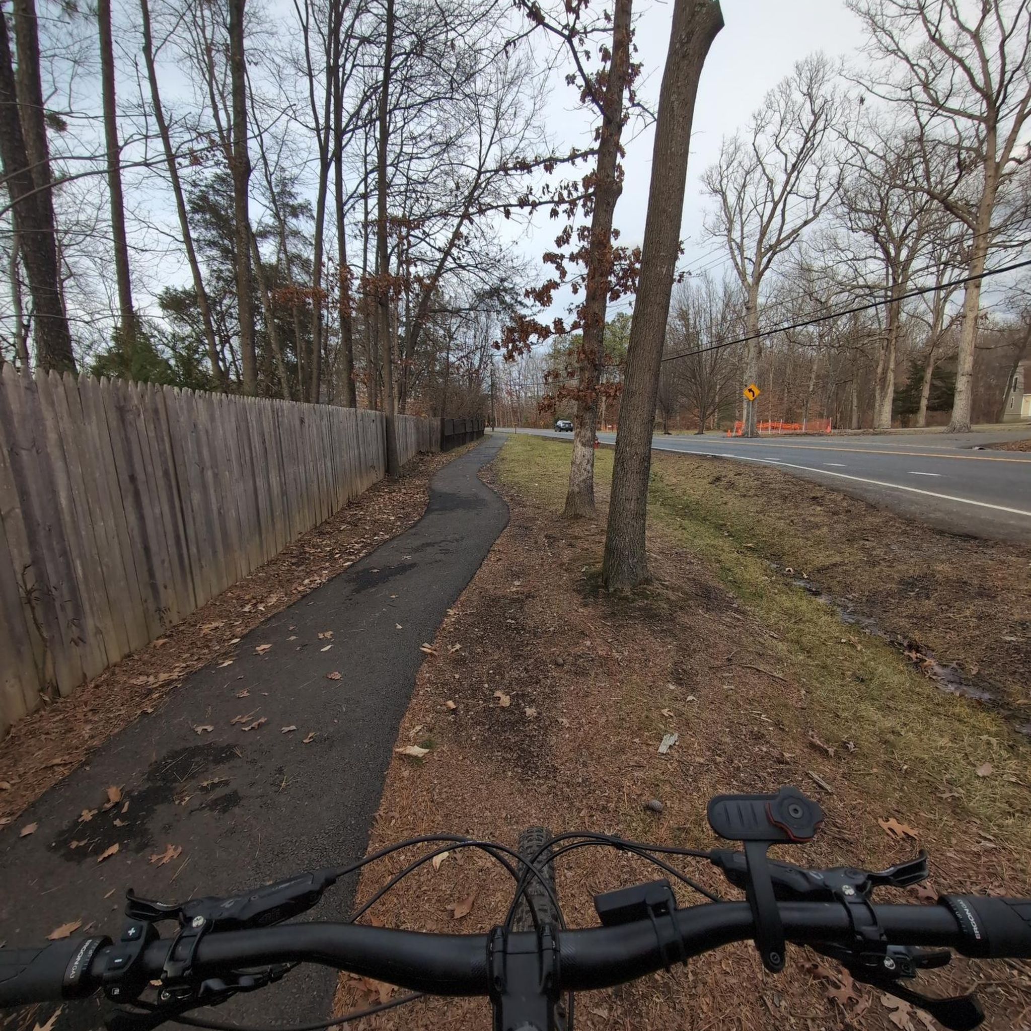
Cub Run Stream Valley Park boasts 800 acres of woodlands and wetlands, as well as a beginner—and kid-friendly trail network.
0
0

This is the site of the Battle of Blackburn's Ford (also known as the Skirmish at Blackburn's Ford) which took place in 1861. It was an important battle in the Civil War and was the precursor to the First Battle of Bull Run.
0
0

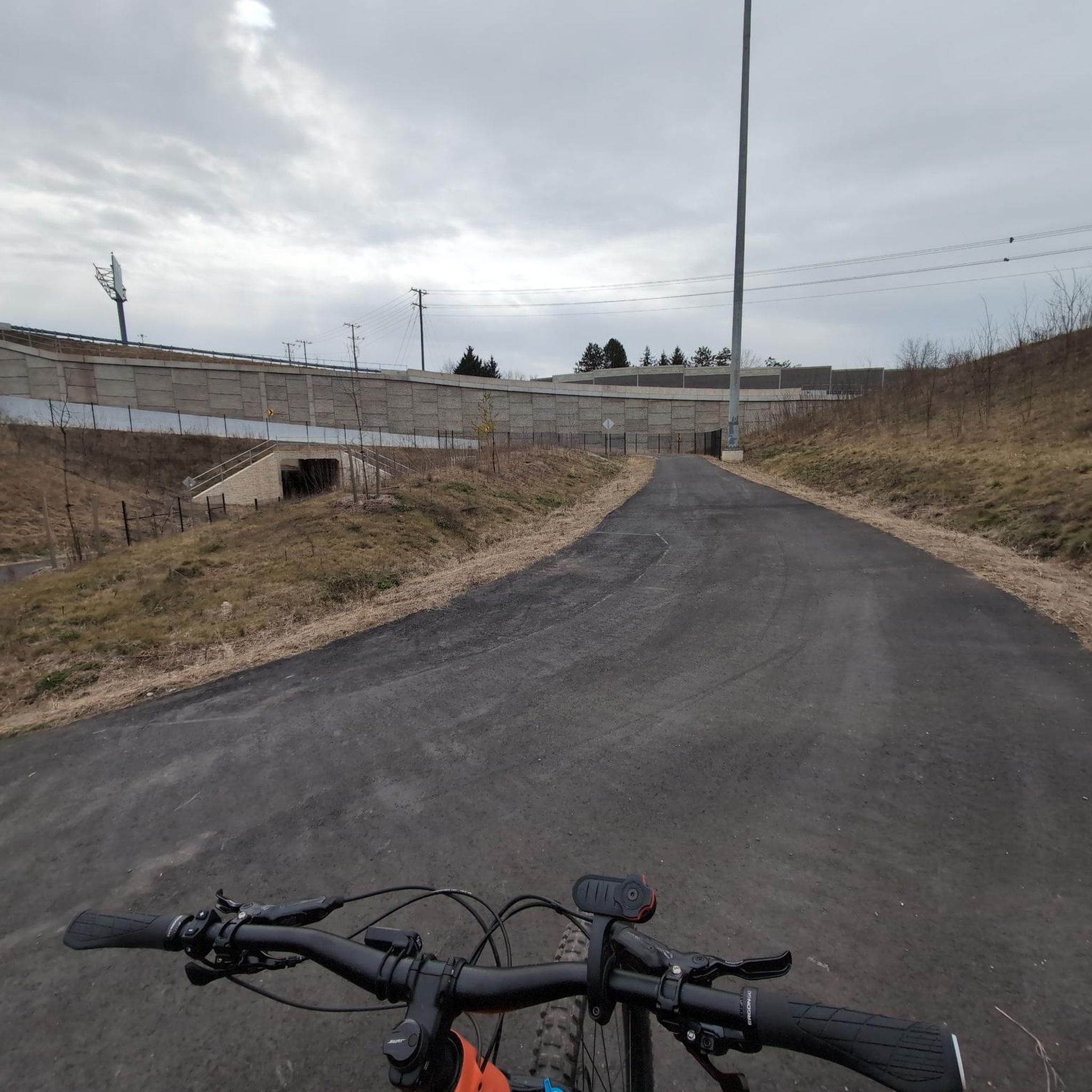
Great place to take a break, use the restroom, or hop off your bike and hike the surrounding trails.
1
0

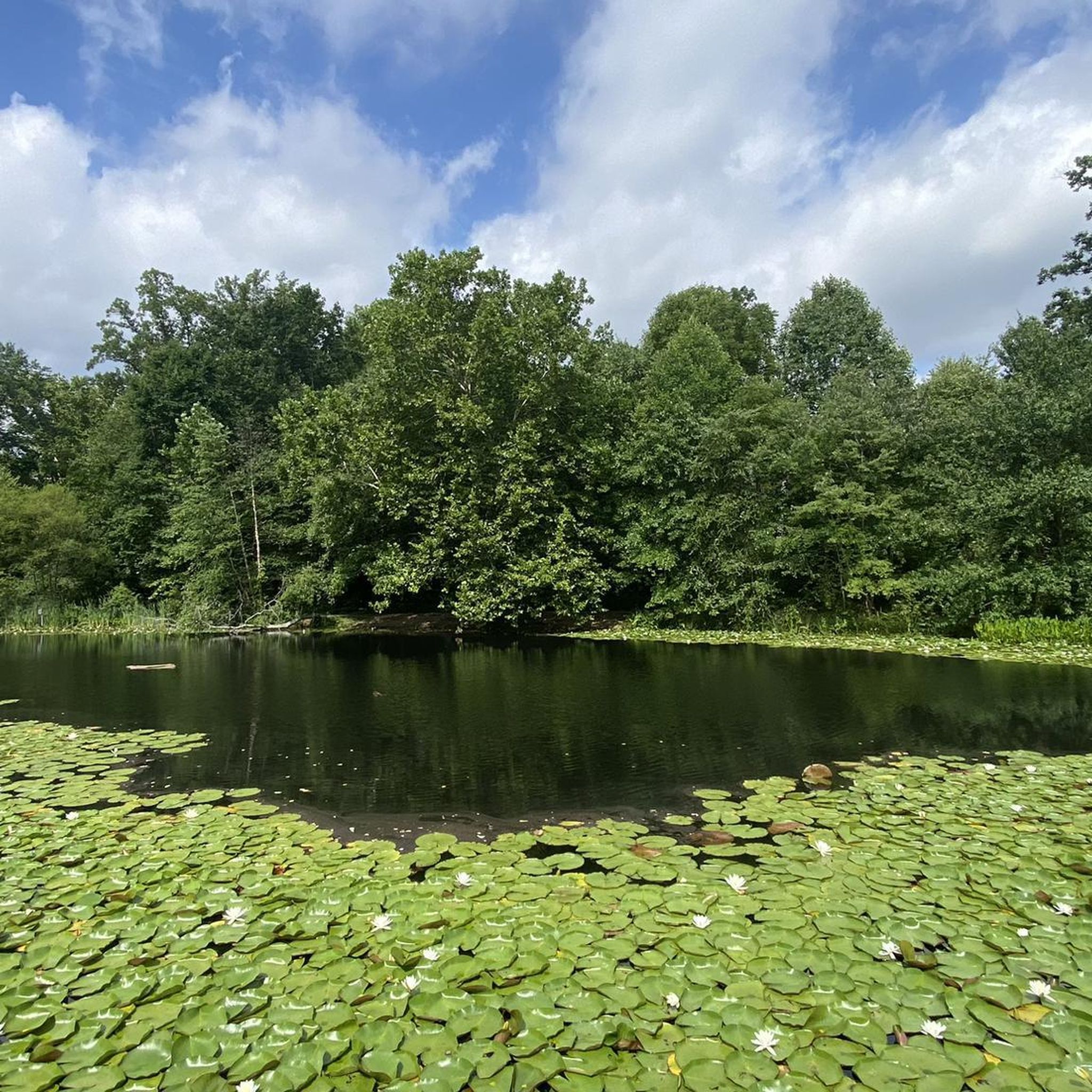
Located in Ellanor C. Lawrence Park, Walney Pond is a small, yet charming pond perfect for a quick stop in nature while hiking.
0
0
Frequently Asked Questions
How many hiking trails are available in Centreville?
Centreville offers a wide variety of hiking experiences, with over 70 routes available. These range from easy strolls through local parks to more challenging, longer paths along stream valleys.
What kind of terrain can I expect on Centreville's hiking trails?
The terrain in Centreville is quite diverse, featuring tree-lined meadows, extensive trail systems, and forested areas. Many trails follow river valleys, offering a mix of flat paths and gentle inclines. You'll find both paved pedestrian tracks and natural dirt paths.
What do other hikers say about the trails in Centreville?
The hiking routes in Centreville are highly rated by the komoot community, with an average score of 4.8 stars from over 90 reviews. Hikers often praise the well-maintained paths, the blend of natural beauty and historical sites, and the opportunities for wildlife observation.
Are there easy hiking trails suitable for beginners or families in Centreville?
Yes, Centreville has many easy trails perfect for beginners and families. Over 50 of the routes are classified as easy. A great option is the Ellanor C Lawrence Park Loop, which winds through forests and meadows and is known for bird watching and wildlife spotting. Walney Pond loop from Centreville is another easy, family-friendly choice.
Where can I find scenic views or natural beauty spots while hiking in Centreville?
For scenic views and natural beauty, explore areas like Bull Run Regional Park, which features tree-lined meadows and the Bull Run River. Ellanor C. Lawrence Park offers serene forest and meadow views, especially around Walney Pond. During late March and April, Bull Run Regional Park is particularly stunning with its bluebell displays along trails like the Bluebell Trail.
Are Centreville's hiking trails dog-friendly?
Many parks and trails in Centreville are dog-friendly, but it's always best to check specific park regulations before you go. Generally, dogs are welcome on leash. For example, trails within Bull Run Regional Park and Ellanor C. Lawrence Park are popular choices for dog walkers.
Are there any historical landmarks or points of interest along Centreville's hiking trails?
Yes, Centreville's trails are often interwoven with significant historical sites. Manassas National Battlefield Park, adjacent to the area, offers trails like the First Manassas Trail and the Henry Hill loop, leading through key Civil War battle sites. You can visit landmarks such as the Stone Bridge or Henry Hill. Bull Run Regional Park also contains Civil War sites.
What are some longer hiking options for a more challenging experience?
For a longer and more moderate hike, consider the Rocky Run Stream Valley Trail, which is about 11.7 miles (18.9 km) long and follows a stream valley. Another good option is the Cub Run Stream Valley Trail, offering about 5 miles of green paved tracks.
Are there any circular hiking routes in Centreville?
Yes, Centreville offers several circular hiking routes. A popular loop is the Ellanor C Lawrence Park Loop. The Walney Pond loop from Centreville is also a great circular option, providing a pleasant walk around the pond.
Is parking available at Centreville trailheads?
Most major parks and trailheads in Centreville, such as Bull Run Regional Park, Ellanor C. Lawrence Park, and Cub Run Stream Valley Park, offer designated parking areas. It's advisable to check specific park websites for any parking fees or detailed directions before your visit.
What is the best time of year to hike in Centreville?
Spring and fall are generally the best times to hike in Centreville due to pleasant temperatures and beautiful scenery. Late March and April are particularly special in Bull Run Regional Park for viewing stunning bluebell displays. Summer can be warm and humid, while winter offers a different, often quieter, experience, though some trails might be muddy or icy.
Are there any trails that offer a more secluded hiking experience?
For a more secluded experience, Rock Hill Park features a 'secret' trail with a boulder field and a pond, offering a remote feel despite its proximity to developed areas. This can be a good option if you're looking to escape the crowds.
Most popular attractions around Centreville

Get inspired with the komoot mobile app


Explore more
Browse the best Hikes in other regions.
