The best walks and hikes around Felsberg, Switzerland
4.6
(1731)
13,968
hikers
534
hikes
Hiking around Felsberg, Switzerland, located in the Imboden Region of Graubünden, offers diverse landscapes for outdoor exploration. The area is characterized by the Rhine river valley, significant forested areas, and the prominent Calanda mountain. This geography provides a mix of riverside paths, valley trails, and mountain ascents.
Best hiking trails around Felsberg, Switzerland
- The most popular hiking route is Across the Rhine – Rhine at Pardisla Bridge loop from Felsberg, a 7.8 miles (12.5 km) trail that takes 3…
Last updated: July 12, 2026
5.0
(4)
65
hikers
12.5km
03:36
270m
270m
Moderate hike. Good fitness required. Easily-accessible paths. Suitable for all skill levels.
3.7
(6)
41
hikers
8.68km
02:13
30m
30m
Moderate hike. Good fitness required. Easily-accessible paths. Suitable for all skill levels.

Sign up for free
5.0
(3)
32
hikers
15.7km
05:24
790m
790m
Hard hike. Very good fitness required. Easily-accessible paths. Suitable for all skill levels.
3.3
(4)
36
hikers
Moderate hike. Good fitness required. Easily-accessible paths. Suitable for all skill levels.
4.5
(2)
21
hikers
5.23km
01:30
120m
120m
Easy hike. Great for any fitness level. Easily-accessible paths. Suitable for all skill levels.
Get access to more routes and recommendations from other explorers.
Sign up for free
Already have an account?
Our route recommendations are based on thousands of hikes, rides, and runs completed by other people on komoot.
Start today with a free account
Your next adventure awaits.
Login or Signup
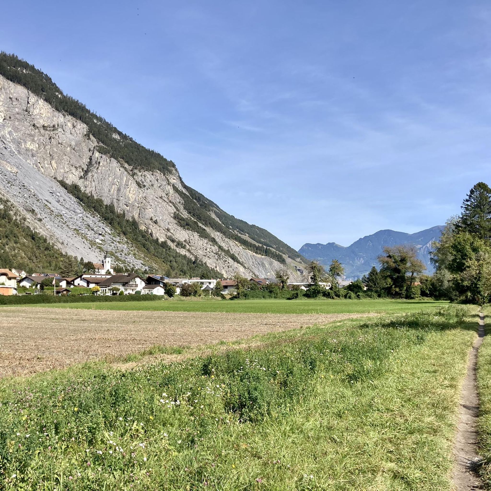
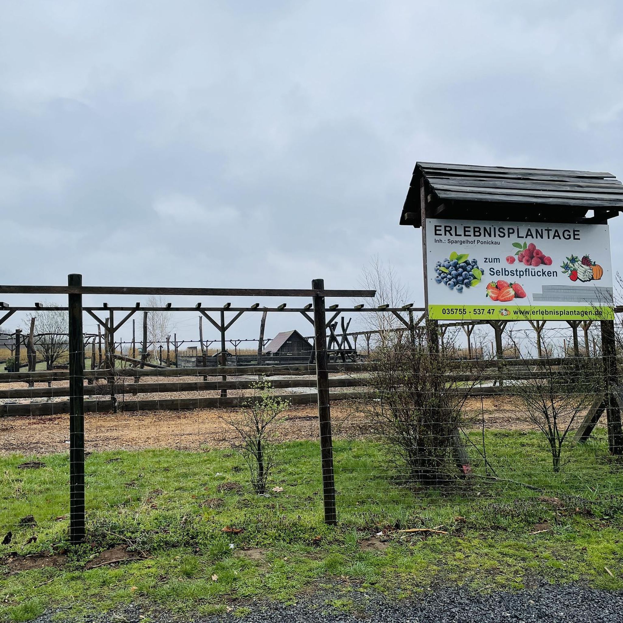
Tips from the Community

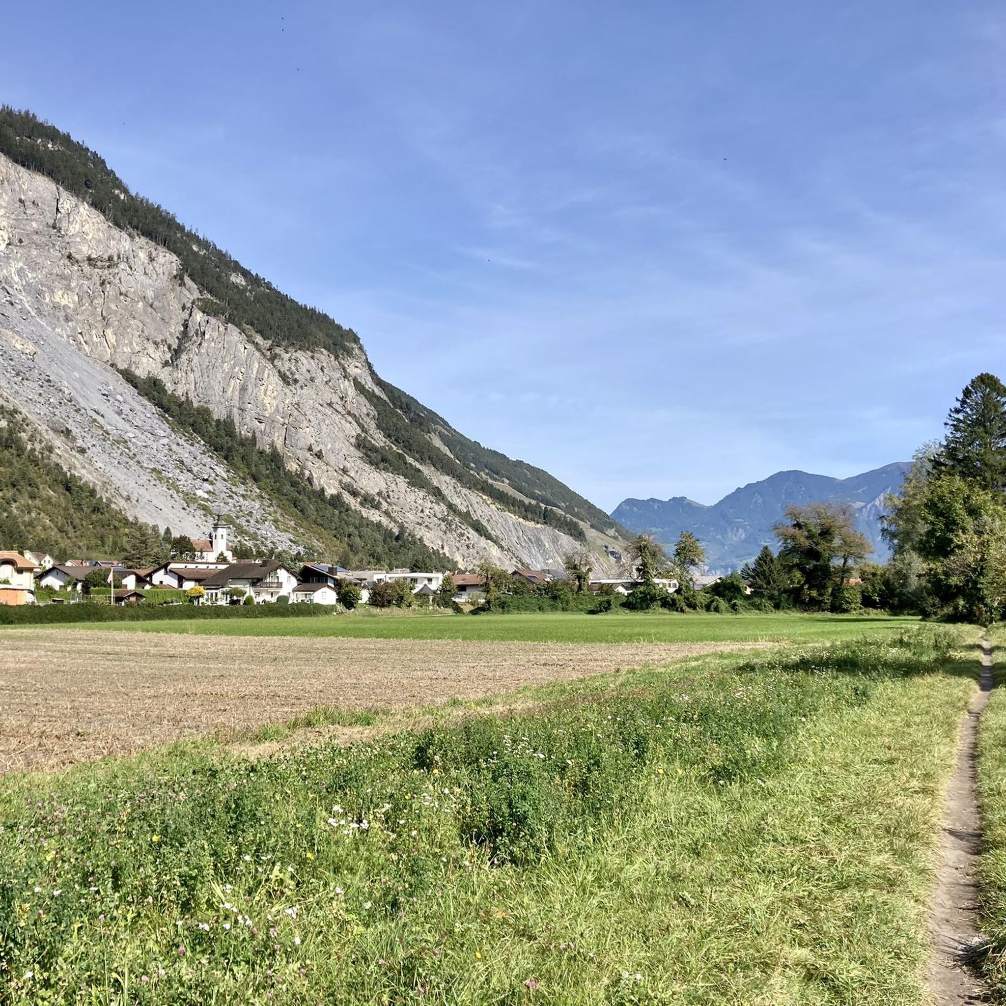
The bistro right on the village square in Tamins invites you to take a break.
0
0

Wildmanufaktur Graubünden, Tamins GR Wild game as a high-quality food Our world is an exciting place, full of amazing creatures and breathtaking nature. Our products are naturally grown and seasonally available. Our services are professional and straightforward, at fair prices. This is ours! Transforming wild game into a high-quality food as a sustainable resource. Wild animals processed at our facility are not exposed to transport routes, have been able to freely choose their food and resting places throughout their lives in the wild, and have never come into contact with antibiotics or other medications. Text / Source: Wildmanufaktur Graubünden GmbH | Pradamalerstrasse 2 | 7015 Tamins https://www.wildmanufakturgraubuenden.ch/
16
0
Eichwald – Tamins Nature Trail The nature trail uses 19 information panels to inform you about the origins and diverse habitats of the Eichwald forest. The trail is accessible year-round, but is particularly interesting during the growing season, when countless plants and microorganisms can be observed. The panels are arranged along a path. The walk takes about 2 hours. And is easily accessible even for small children. A picnic area with a fire pit is located in the Benisboden area. The origins of the Eichwald forest are closely linked to human use. Centuries of extensive grazing have kept the Eichwald and Bensiboden areas clear. In the Middle Ages, acorns were highly valued as fattening feed for pigs, and the oak trees were protected from deforestation. Today, forestry authorities are responsible for preserving the trees. The Tamins – Eichwald area is a special forest reserve. Text / Source: Municipality of Tamins, Aligstrasse 1, Tamins https://www.tamins.ch/_docn/3314411/Naturlehrpfad_Eichwald.pdf
16
0
Tamins (Romansh Tumein) Whoever says Tamins (Romansh Tumein) also means Reichenau at the confluence of the Vorder- and Hinterrhein. After all, the station of the Rhaetian Railway, where the lines towards Mittelbünden and Surselva separate, is also called Reichenau-Tamins. The Kunkelspass is an absolute concept for many bikers from near and far. Top of Tamins is the Ringelspitze with 3247 m. The people of Tamins naturally gladly share this mountain with the neighboring municipality of Trin and the neighbors in the canton of St. Gallen. History Graves suggest that people already stayed here in the Iron Age (around 500 BC). The Romans were also here; grave finds west of the village and coin finds on the Kunkelspass bear witness to this. The grave of an Alemannic warrior testifies that people also settled here after the fall of the Roman Empire. The first documented mention can be traced back to the year 1399. In 1540, the municipality introduced the Reformation. The village was repeatedly struck by severe fires, such as in the years 1616, 1631, and 1799 during the French invasion. The last major fire occurred in 1905. Text / Source: Graubünden Ferien, Alexanderstrasse 24, Chur https://www.graubuenden.ch/de/ausflugsziele/tamins
16
0


Always along the right bank of the Rhine.
0
1

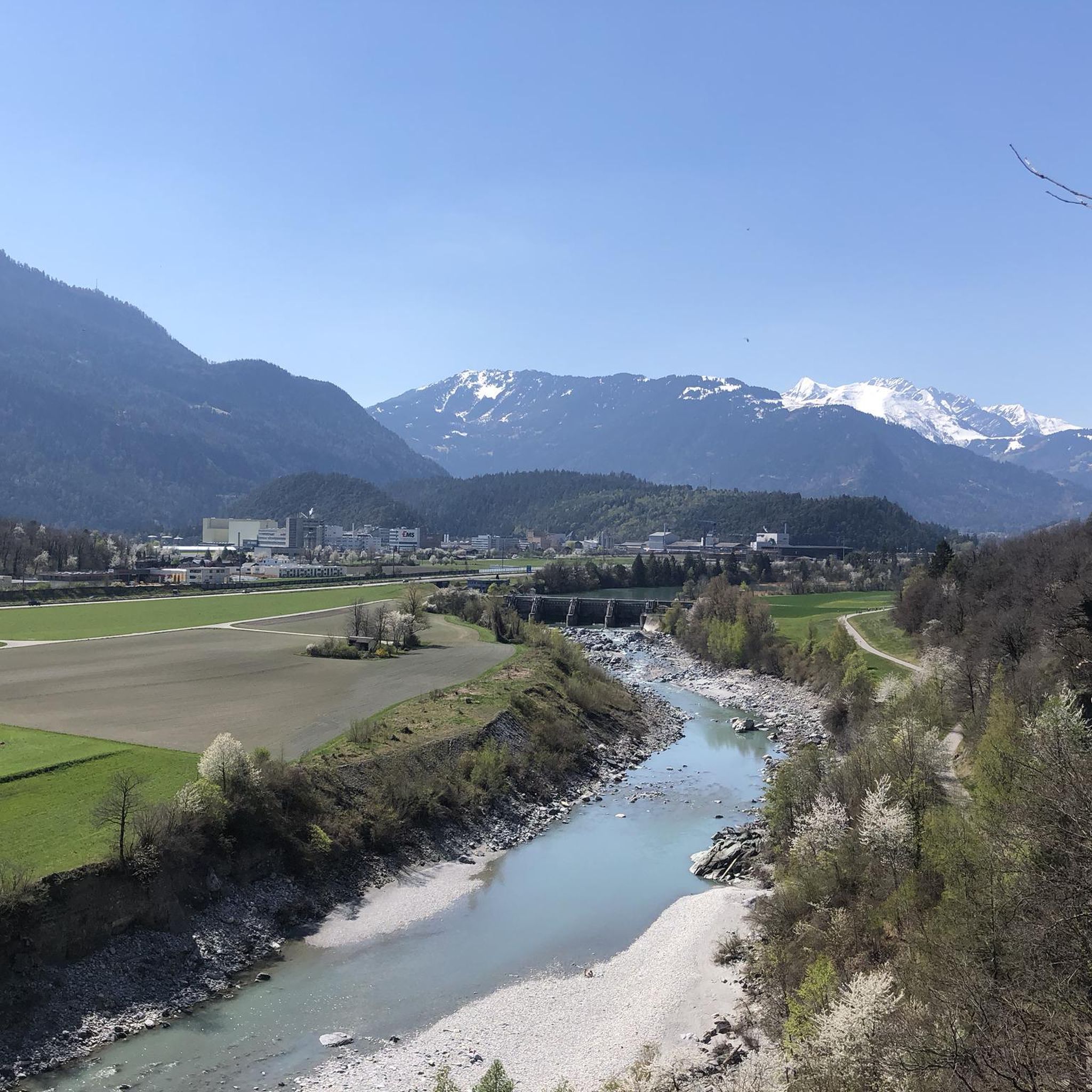
Beautiful Rhine crossing between Chur and Haldenstein. The view of the Rhine is also worth the crossing.
1
0
A very interesting area with many impressive agricultural sights
1
0
Frequently Asked Questions
How many hiking trails are there in Felsberg, Switzerland?
Felsberg, Switzerland, offers a wide variety of hiking experiences with over 550 routes available. These range from leisurely walks along the Rhine to more challenging mountain ascents.
What kind of terrain can I expect on hikes around Felsberg?
The terrain around Felsberg is diverse, featuring riverside paths along the Rhine, extensive forested areas, and mountain trails leading up the prominent Calanda mountain. You'll find a mix of flat valley walks and more strenuous climbs with significant elevation changes.
Are there easy hiking trails suitable for beginners or families in Felsberg?
Yes, Felsberg offers over 230 easy hiking routes. For instance, the Tamins – Beautiful village of Tamins loop from Domat/Ems is an easy 3.2-mile (5.2 km) trail. The path to Lake Cresta from Trin Mulin is also known to be stroller-friendly.
What natural features or landmarks can I see while hiking in Felsberg?
Hikers in Felsberg can explore a variety of natural features and historical landmarks. You can encounter the majestic Calanda mountain, the scenic Rhine river, and extensive forests. Notable points of interest include the crystal-clear Cresta Lake, the historical Dreibündenstein Monument, and unique geological formations in the Landslide Area Above Felsberg.
Are there challenging hikes around Felsberg, Switzerland?
Yes, for experienced hikers, there are over 80 difficult routes in the Felsberg area. These often involve significant elevation gain, such as ascents towards the Calanda mountain or routes like the View of Chur – Kunkel Pass loop from Domat/Ems, which features substantial climbs.
Can I bring my dog on hikes in Felsberg, Switzerland?
Many trails in Felsberg are suitable for dogs, allowing you to enjoy the natural beauty with your canine companion. It's always recommended to keep dogs on a leash, especially in forested areas or near livestock, and to carry water for them.
Are there circular hiking routes in Felsberg, Switzerland?
Yes, many routes in Felsberg are designed as loops, offering varied scenery without retracing your steps. Examples include the popular Across the Rhine – Rhine at Pardisla Bridge loop from Felsberg and the Across the Rhine – Landslide Area Above Felsberg loop from Felsberg.
What do other hikers enjoy most about hiking in Felsberg, Switzerland?
The hiking trails around Felsberg are highly rated by the komoot community, with an average score of 4.6 stars from over 1600 reviews. Hikers often praise the diverse landscapes, from tranquil riverside paths to scenic mountain views, and the well-maintained trails that cater to various fitness levels.
Is parking available for hikers in Felsberg?
Felsberg, being a local community, generally offers parking options in and around the village, often near trailheads or public facilities. It's advisable to check local signage for specific parking regulations and fees.
How can I reach hiking trails in Felsberg using public transport?
Felsberg is well-connected within the Imboden Region, situated between Chur and Domat/Ems. Public transport, such as local buses or trains, can bring you close to many starting points for hikes. Checking local transport schedules for connections to Felsberg or nearby villages like Tamins and Domat/Ems is recommended.
Are there opportunities for swimming near hiking trails in Felsberg?
Yes, the region offers natural swimming spots. Lake Cresta, a crystal-clear, spring-fed lake nestled among fir trees, is accessible via a hiking trail and is known for its refreshing, drinkable water.
What is the best time of year to hike in Felsberg, Switzerland?
The best time to hike in Felsberg generally spans from spring through autumn (May to October), when the weather is mild and trails are clear of snow. Summer offers lush green landscapes, while autumn provides vibrant foliage. Some lower-altitude trails along the Rhine may be accessible year-round, but higher mountain routes are best avoided in winter due to snow and ice.
Most popular routes around Felsberg, Switzerland
Most popular attractions around Felsberg, Switzerland

Get inspired with the komoot mobile app


