The best cycling routes around West Charlotte
65
riders
19
rides
Touring cycling routes around West Charlotte feature an extensive network of greenways, offering a blend of urban and natural cycling experiences. These well-maintained, mostly paved paths wind through lush forests, open meadows, and alongside tranquil waterways. The region is characterized by its comprehensive greenway system, which often parallels significant creeks like Irwin Creek, Stewart Creek, and Mallard Creek, providing scenic views and a calming environment. Cyclists can explore diverse natural landscapes, including woodlands along the Catawba River and Long Creek,…
Last updated: August 4, 2026
4.5
(2)
31
riders
58.0km
03:28
330m
330m
Moderate bike ride. Good fitness required. Mostly paved surfaces. Suitable for all skill levels.
15
riders
39.3km
02:38
300m
300m
Moderate bike ride. Good fitness required. Mostly paved surfaces. Suitable for all skill levels.

Sign up for free
11
riders
35.7km
02:20
320m
320m
Moderate bike ride. Good fitness required. Mostly paved surfaces. Suitable for all skill levels.
7
riders
34.2km
02:38
250m
250m
Moderate bike ride. Good fitness required. Mostly paved surfaces. Suitable for all skill levels.
8
riders
Moderate bike ride. Good fitness required. Mostly paved surfaces. Suitable for all skill levels.
Get access to more routes and recommendations from other explorers.
Sign up for free
Already have an account?
Our route recommendations are based on thousands of hikes, rides, and runs completed by other people on komoot.
Start today with a free account
Your next adventure awaits.
Login or Signup



Tips from the Community

Built around 1870, Holmes Creek Covered Bridge spans over a quiet inlet near Lake Champlain. This 41-foot wooden bridge—one of the shortest and lowest in the state—features a rare king post truss with a tied arch. Once vital for local orchards and hay wagons, it now stands as a charming relic just steps from the lakeshore.
0
0

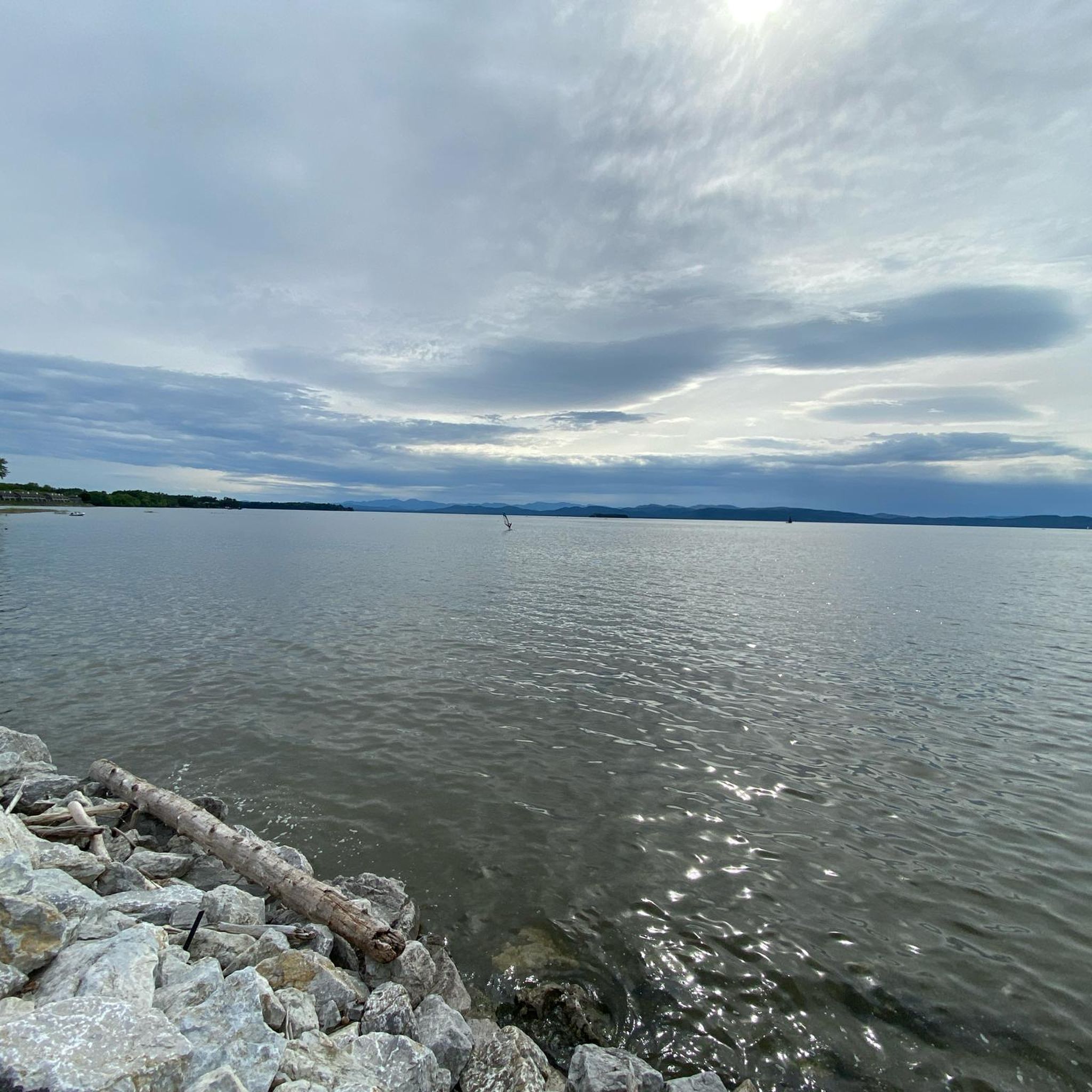
From this section of the Burlington Greenway you can enjoy views of the North Beach, right off the path. If you want to stop for a break, it's a good spot for a swim or picnic. It has a sandy shoreline, restrooms, and a snack bar in summer. It can get crowded on weekends, but the lake views make it a worthwhile stop.
1
0
The Burlington Greenway is an 8-mile paved path that hugs the Lake Champlain shoreline, offering stunning water and mountain views. It links downtown Burlington with parks, beaches, and neighborhoods. Don’t miss the northern stretch along the causeway and the seasonal bike ferry to the Champlain Islands. This section includes a boardwalk with signs advising cyclists not to ride, due to the narrow space and high pedestrian traffic.
1
0

A small, cascading waterfall surrounded by a mix of forest and wetlands, it is easily accessible from the road. You can take a short detour to visit and even explore the trails around the waterfall.
0
0

Blanchard Beach is a public beach on Lake Champlain in Burlington, Vermont. Situated within Oakledge Park, it features a small sandy beach and easy access off of the Island Line Trail. From the beach, you can enjoy stunning views of the lake and the Adirondack Mountains. Facilities in the near by Oakledge Park include restrooms, picnic areas, shaded spots, and a large sundial, making it a perfect destination for locals and visitors alike.
0
0


The Burlington Greenway Bike/Walk Path is a jewel of our parks system and popular attraction all year round. Featuring eight miles of paved path, with aggregate shoulders for runners and walkers. Situated on the Lake Champlain shoreline, the path starts south of Oakledge park and runs north to the Winooski River. Along the way, the Greenway connects many major parks and facilities with residential neighborhoods and downtown Burlington commercial districts. The path is part of the Island Line Trail. The northern end of the Greenway features a few miles of packed gravel on a narrow causeway over western Lake Champlain, making for a spectacular view. Take the seasonal Bike Ferry to continue riding into the Champlain Islands. If you’re planning a bike trip, be sure to check out the helpful information on Local Motion’s website Restrooms (seasonal) are available at several points along the path: List of Public Restrooms Want to ride the path, but don’t have a bike? Check out these places for bike rentals. Be aware of ongoing construction on the Greenway, including engineering upgrades, updates for increased capacity, new “pause places”, and connections with recreation facilities. View the interactive map At certain times, the section of Path in Waterfront Park may be closed during events. Please read our official Path Closure Policy. Make sure to follow our guidelines for safe use:
0
0
Frequently Asked Questions
How many touring cycling routes are available in West Charlotte?
West Charlotte offers a good selection of touring cycling routes, with 17 routes available on komoot. These routes cater to various skill levels, including 1 easy, 13 moderate, and 3 difficult options.
What is the general terrain and difficulty level for touring cycling in West Charlotte?
The touring cycling routes in West Charlotte primarily feature well-maintained, mostly paved surfaces, especially along the extensive greenway network. While most routes are classified as moderate, there are also easy options for beginners and a few more challenging routes. The terrain often includes gentle rolling hills and flat sections alongside creeks and through woodlands.
What natural features or landmarks can I see along the touring cycling routes in West Charlotte?
Many routes in West Charlotte follow scenic greenways alongside creeks like Irwin Creek, Stewart Creek, and Mallard Creek, offering tranquil views. You can also discover charming landmarks such as the Holmes Creek Covered Bridge and the Historic Quinlans Covered Bridge. The region also features parks and preserves like McDowell Nature Preserve and Reedy Creek Nature Center and Preserve, providing diverse natural landscapes.
Are there any waterfalls accessible by touring bike in West Charlotte?
Yes, you can find natural water features. The LaPlatte River Falls is a notable natural attraction that can be incorporated into touring cycling routes, offering a scenic stop along your ride.
Are there any circular touring cycling routes in West Charlotte?
Yes, West Charlotte has several excellent circular touring cycling routes. A popular option is the Holmes Creek Covered Bridge – Old Brick Store loop from Shelburne, which covers 24.4 miles (39.3 km) and offers a moderate challenge through natural landscapes.
Are there family-friendly touring cycling routes in West Charlotte?
The extensive greenway system in West Charlotte is generally very family-friendly. These paved, multi-use trails, such as those along Little Sugar Creek and McAlpine Creek, offer safe and enjoyable riding experiences away from vehicle traffic, suitable for cyclists of all ages and skill levels.
Can I bring my dog on touring cycling routes in West Charlotte?
Many of Charlotte's greenways are dog-friendly, allowing leashed dogs. It's always a good idea to check specific park or greenway regulations before you go, but generally, the multi-use paths are welcoming to cyclists with their canine companions.
What are some longer touring cycling routes for extended rides?
For longer rides, you can explore routes that connect various greenways. The LaPlatte River Falls – Old Brick Store loop from Shelburne is a good option, spanning 22.2 miles (35.7 km) and providing scenic views along creek-side sections and through wooded areas. The interconnectedness of trails like Mallard Creek Greenway and Toby Creek Greenway also allows for creating custom extended journeys.
What are the best times of year for touring cycling in West Charlotte?
Spring and fall generally offer the most pleasant conditions for touring cycling in West Charlotte, with mild temperatures and beautiful foliage. Summers can be hot and humid, so early morning or late afternoon rides are recommended. Winters are typically mild, making year-round cycling possible, though some days may be chilly.
How accessible are the touring cycling routes by public transport or car parking?
Many greenways in West Charlotte offer accessible parking areas at various trailheads. The city's commitment to expanding its multi-use trails, including the Cross Charlotte Trail, aims to connect people to a larger network without requiring a car, enhancing both commuter and recreational cycling access. Specific public transport options may vary by greenway section.
Are there any easy touring cycling routes for beginners in West Charlotte?
Yes, West Charlotte's greenway system is ideal for beginners. The mostly paved and relatively flat paths provide a gentle introduction to touring cycling. While there is 1 route specifically rated as easy, many of the moderate routes, especially those along the tranquil creek-side sections, can also be enjoyed by those new to touring cycling.
What do other touring cyclists enjoy the most about touring cycling in West Charlotte?
Touring cyclists frequently praise the extensive and well-maintained greenway network in West Charlotte, which offers a unique blend of urban and natural cycling experiences. The scenic creek-side paths, lush woodlands, and the ability to connect to various parks and attractions are often highlighted as key enjoyable aspects.
Most popular attractions around West Charlotte

Get inspired with the komoot mobile app


Explore more
Browse the best Cycling routes in other regions.
