The best cycling routes around Highland
4.7
(13)
373
riders
44
rides
Touring cycling routes around Highland feature a landscape characterized by canal trails, reservoirs, and views of nearby mountains. The region offers a mix of paved paths and routes that ascend into higher elevations. These routes provide opportunities to explore local natural features and developed areas.
Best touring cycling routes around Highland
- The most popular touring cycling route is Red Barn with Mountain View – Murdock Canal Trail loop from Highland, a 17.6 miles (28.4 km) trail that takes 1…
Last updated: October 28, 2026
4.5
(2)
19
riders
64.4km
03:49
350m
350m
Moderate bike ride. Good fitness required. Mostly paved surfaces.
5.0
(1)
23
riders
Easy bike ride. Mostly paved surfaces.

4.5
(2)
24
riders
26.4km
01:30
80m
80m
Easy bike ride. Mostly paved surfaces.
12
riders
43.7km
03:17
1,020m
1,020m
Hard bike ride. Very good fitness required. Mostly paved surfaces.
5.0
(1)
10
riders
25.9km
01:34
150m
150m
Moderate bike ride. Good fitness required. Mostly paved surfaces.
Get access to more routes and recommendations from other explorers.
Already have an account?
Our route recommendations are based on thousands of hikes, rides, and runs completed by other people on komoot.
Start today with a free account
Your next adventure awaits.
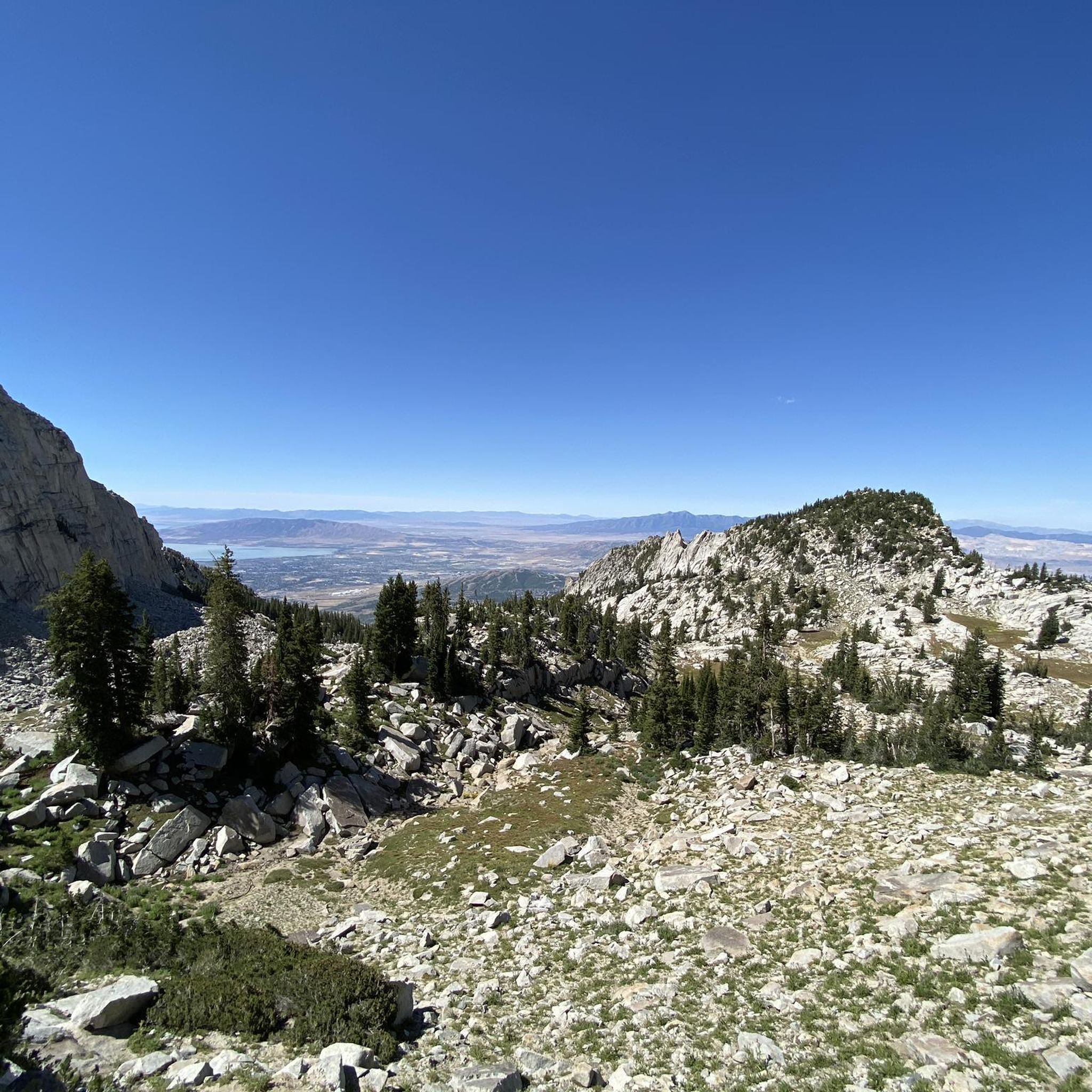
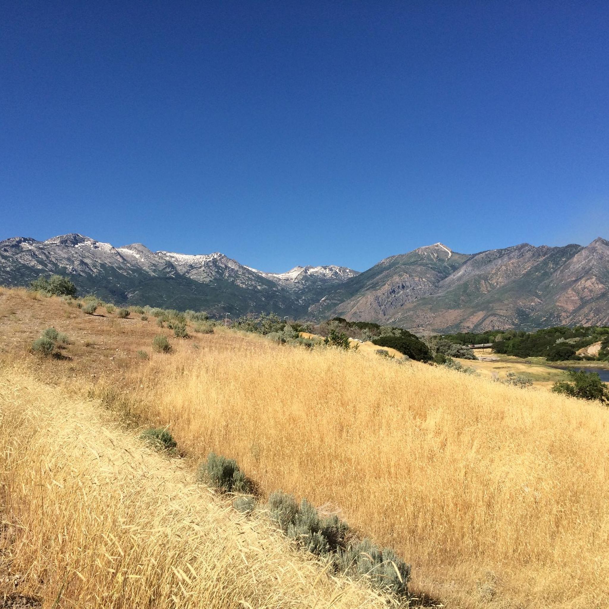
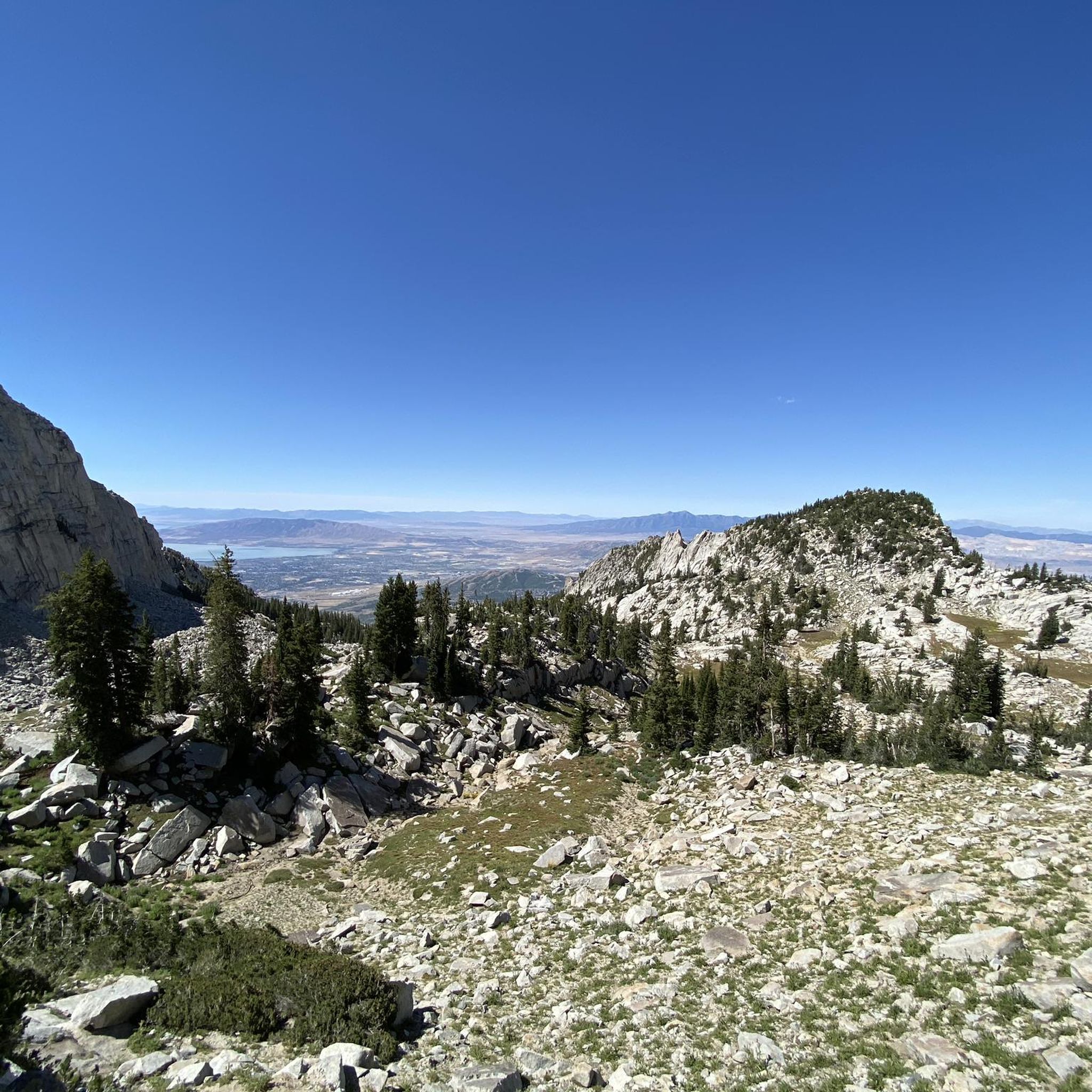

Tips from the Community

This bright red barn is a standout amongst the beautiful mountain backdrop. It's one of many scenic features along this trail and is worthy of a stop to take a great photo!
0
0
Beautiful 18-hole course with a traditional, flat style. As you ride by, you can enjoy stunning views of the Wasatch Mountains.
0
0

The valley views from Murdock Trail are just remarkable, especially at sunrise/sunset!!
0
0

Located in between Highland and Cedar Hills, this little park has a pond in which you can kayak by your own means and have lunch afterward at the picnic tables. Little ducks and this natural oasis in the middle of the city make it the perfect place for a bite and a pic with the mountains as the background.
0
0

This 17-mile trail traverses seven cities and follows the path of the original trail constructed in the early 1900s. The trail was initially built to transport water from the Provo River for irrigation in Northern Utah County.
0
0
This small but practical reservoir is vital to the city's irrigation system, providing additional water to nourish the landscaped areas and gardens. Its coverage extends to the newly developed regions within Highland, guaranteeing that the greenery remains healthy and thriving. From here, you can catch a glimpse of the breathtaking high mountains dominating in the background.
0
0

Lower Pond is a water reservoir that is entirely fenced off, so it is not accessible to the public. The pond is visible either from the Murdock Canal Trail over the other side of the pond, or from the road right here. On the opposite side of the road is a small park with a rotunda and playground. As you look towards the pond you will see the stunning high mountains looming in the background.
1
0
Located in between Highland and Cedar Hills, this little park has a pond in which you can kayak by your own means and have lunch afterward at the picnic tables. Little ducks and this natural oasis in the middle of the city make it the perfect place for a bite and a pic with the mountains as the background.
0
0
Frequently Asked Questions
How many touring cycling routes are available in Highland?
There are over 45 touring cycling routes in Highland, offering a variety of experiences for different skill levels. The komoot community has rated these routes highly, with an average score of 4.5 stars.
What types of landscapes can I expect on touring cycling routes in Highland?
Touring cycling routes in Highland are characterized by canal trails, views of nearby mountains, and paths around reservoirs. You'll find a mix of paved sections and routes that ascend into higher elevations, providing diverse scenery.
Are there any easy touring cycling routes suitable for beginners or families?
Yes, Highland offers several easy touring cycling routes. For instance, the Red Barn with Mountain View – Murdock Canal Trail loop from Highland is an easy 17.6-mile trail that follows a canal and offers mountain views. Another option is the Murdock Canal Trail – Murdock Canal Trail loop from American Fork High School, which is 13.7 miles long and leads through developed areas and along a canal.
What are some challenging touring cycling routes in Highland?
For those seeking a challenge, the Potato Hill – Dry Creek Reservoir loop from Highland is a difficult 20.1-mile path with significant elevation gain, passing by a reservoir. Another demanding option is the Alpine Summit – Horse Flat Trail loop from Highland, a difficult 26.5-mile route with over 1000 meters of elevation gain.
What interesting places or natural features can I see along the touring cycling routes?
Along the touring cycling routes in Highland, you can explore several interesting spots. The Murdock Canal Trail itself is a prominent feature. You might also encounter natural attractions like Battle Creek Falls or enjoy views of Mount Timpanogos. The Bear Canyon suspension bridge is another notable landmark.
Are there any circular touring cycling routes in Highland?
Yes, many of the touring cycling routes in Highland are designed as loops, making them convenient for starting and ending at the same point. Examples include the Red Barn with Mountain View – Murdock Canal Trail loop from Highland and the Dry Creek Reservoir – Murdock Canal Trail loop from Center Pointe at Lehi.
What do other touring cyclists enjoy most about cycling in Highland?
The area is highly rated by the komoot community, with an average score of 4.5 stars from over 12 reviews. Touring cyclists often praise the scenic canal trails, the views of the surrounding mountains, and the variety of routes that cater to different ability levels.
How long do touring cycling routes in Highland typically take to complete?
The duration of routes varies depending on their length and difficulty. For example, an easy route like the Murdock Canal Trail – Murdock Canal Trail loop from American Fork High School can be completed in about 1 hour 19 minutes, while a more difficult and longer route such as the Alpine Summit – Horse Flat Trail loop from Highland might take around 3 hours 14 minutes.
Are there routes that combine canal trails with other features?
Absolutely. Many routes in Highland integrate canal trails with other natural and developed features. The Dry Creek Reservoir – Murdock Canal Trail loop from Center Pointe at Lehi is a great example, combining a canal trail with a reservoir, offering a varied cycling experience.
What is the general difficulty level of touring cycling in Highland?
Highland offers a good mix of difficulty levels. Approximately 44% of the routes are easy, 33% are moderate, and 23% are difficult. This ensures that both casual riders and experienced cyclists can find suitable paths.
Can I find routes that offer significant elevation gain for a more strenuous workout?
Yes, if you're looking for routes with significant elevation gain, Highland has options. The Potato Hill – Dry Creek Reservoir loop from Highland features over 550 meters of ascent, and the Alpine Summit – Horse Flat Trail loop from Highland boasts over 1000 meters of elevation gain, providing a challenging ride.
Most popular attractions around Highland

Get inspired with the komoot mobile app


Explore more
Browse the best Cycling routes in other regions.
