The best road cycling routes around Saratoga Springs
4.5
(20)
1,111
riders
34
rides
Road cycling around Saratoga Springs offers diverse landscapes, ranging from flat, scenic paths to challenging hilly routes. The region is characterized by rolling countryside, historical battlefields, and natural features like Saratoga Lake. Cyclists can explore routes through farmland, along lake shores, and within state parks, providing varied terrain for different skill levels.
Best road cycling routes around Saratoga Springs
- The most popular road cycling route is Murdock Canal Trail – Fox Hollow Golf Course loop from Lehi, a 15.7…
Last updated: May 17, 2026
5.0
(1)
90
riders
79.6km
03:19
440m
440m
Moderate road ride. Good fitness required. Mostly well-paved surfaces and easy to ride.
3.0
(1)
30
riders
Easy road ride. Great for any fitness level. Mostly well-paved surfaces and easy to ride.

Sign up for free
36
riders
Moderate road ride. Good fitness required. Mostly well-paved surfaces and easy to ride.
27
riders
Easy road ride. Great for any fitness level. Mostly well-paved surfaces and easy to ride.
19
riders
24.0km
01:01
90m
90m
Easy road ride. Great for any fitness level. Mostly well-paved surfaces and easy to ride.
Get access to more routes and recommendations from other explorers.
Sign up for free
Already have an account?
Our route recommendations are based on thousands of hikes, rides, and runs completed by other people on komoot.
Start today with a free account
Your next adventure awaits.
Login or Signup
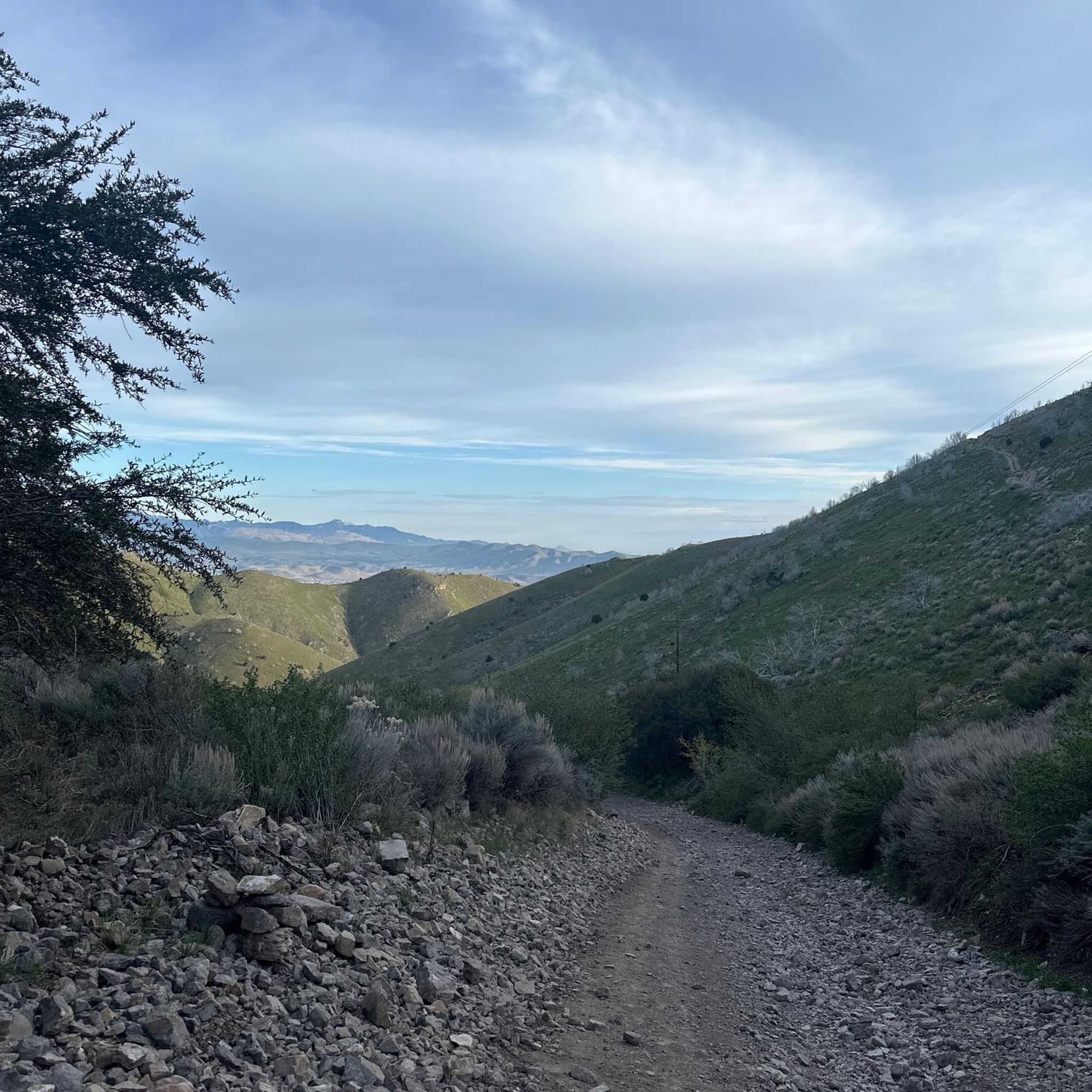

Tips from the Community

Provo River Parkway is a smooth, paved trail that follows the Provo River through canyons and parks. It’s mostly flat with gentle climbs, offering plenty of shade and scenic river views. This segment passes by Glen Park—an easy spot to refill water bottles or have a snack at the picnic tables.
1
0
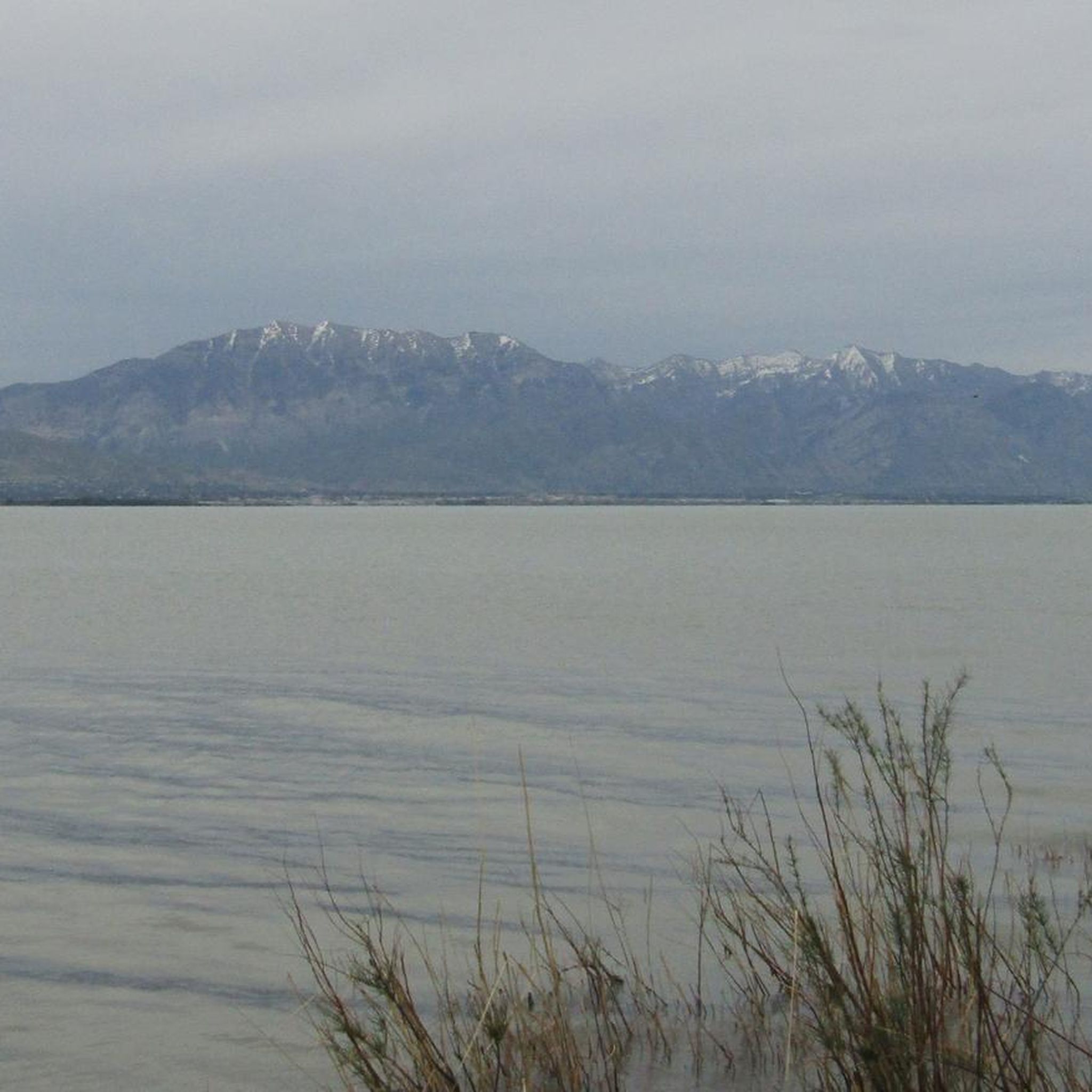
This small beach is tucked along the Jordan River basin, just before it flows into Utah Lake. It offers nice views of the mountains and the river—making it a good spot for a break and a quick photo.
0
0

Beautiful 18-hole course with a traditional, flat style. As you ride by, you can enjoy stunning views of the Wasatch Mountains.
0
0

This multi-use paved trail begins at Utah Lake State Park and follows the Provo River for 15 miles, showcasing different areas of the city and its parks.
0
0

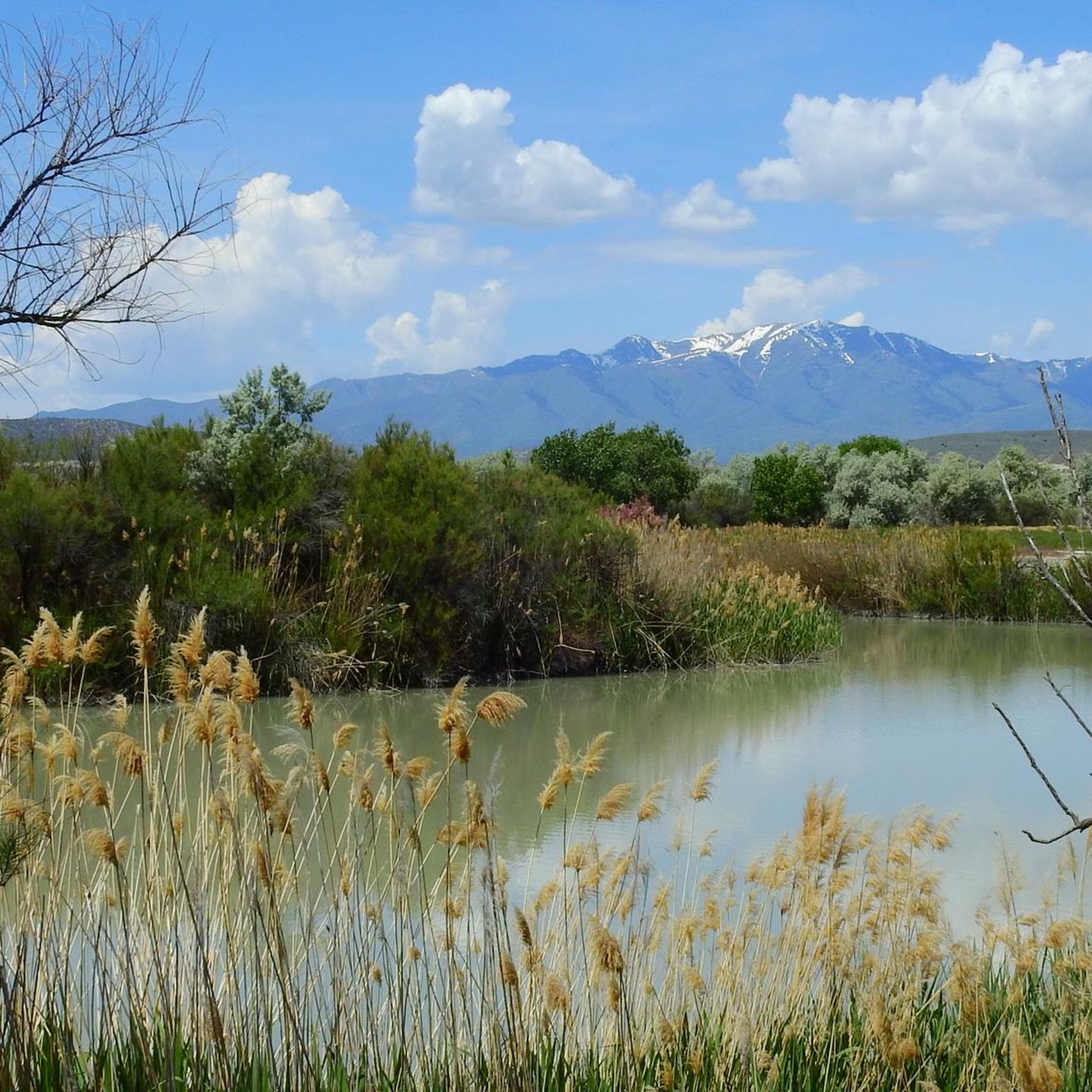
Located in between Highland and Cedar Hills, this little park has a pond in which you can kayak by your own means and have lunch afterward at the picnic tables. Little ducks and this natural oasis in the middle of the city make it the perfect place for a bite and a pic with the mountains as the background.
0
0

If you want to see the main waterfall in the park, you'll have to leave your bike behind for a bit. Just biking along the river on the Provo River Parkway is worth your while, though, and you get great views of cascades and small falls pouring into the river.
0
0

Lower Pond is a water reservoir that is entirely fenced off, so it is not accessible to the public. The pond is visible either from the Murdock Canal Trail over the other side of the pond, or from the road right here. On the opposite side of the road is a small park with a rotunda and playground. As you look towards the pond you will see the stunning high mountains looming in the background.
1
0
Located in between Highland and Cedar Hills, this little park has a pond in which you can kayak by your own means and have lunch afterward at the picnic tables. Little ducks and this natural oasis in the middle of the city make it the perfect place for a bite and a pic with the mountains as the background.
0
0
Frequently Asked Questions
How many road cycling routes are available around Saratoga Springs?
Saratoga Springs offers a wide selection of road cycling routes, with over 40 options to explore. These routes traverse historical sites, natural areas, and diverse landscapes, catering to various preferences and skill levels.
What kind of terrain can I expect when road cycling in Saratoga Springs?
The region around Saratoga Springs provides a mix of terrains. You'll find flat, scenic paths, rolling countryside, and challenging hilly routes. Options range from routes through farmland and along lake shores to paths within state parks, ensuring varied experiences for all cyclists.
Are there easy road cycling routes suitable for beginners or families in Saratoga Springs?
Yes, Saratoga Springs is very accommodating for beginners and families. More than 20 of the available road cycling routes are rated as easy, featuring gentle terrain and scenic views. The Saratoga Spa State Park offers approximately 12 miles of paved and dirt multi-use trails with gentle terrain, and the Zim Smith Trail is another multi-use path suitable for all abilities.
Where can I find more challenging road cycling routes in the area?
For those seeking more challenge, Saratoga Springs offers over 15 moderate and a few difficult road cycling routes. These paths may include steeper ascents and longer distances. Routes like the Lincoln Mountain Forest Loop, for example, feature challenging climbs such as Ormsbee and Plank.
What are some scenic viewpoints or natural features I can see while cycling?
Road cycling routes in Saratoga Springs offer numerous scenic viewpoints and natural features. You can enjoy views of Saratoga Lake, the Adirondack Mountains, and the historic Saratoga Battlefield. The region is also known for its natural mineral springs, including the unique Geyser Island Spouter. The Saratoga Spa State Park and Saratoga National Historical Park also offer beautiful landscapes and historic views.
Are there any historical landmarks along the road cycling routes?
Absolutely. Many routes in Saratoga Springs pass by significant historical landmarks. The Battlefield Loop and Luther Forest Climbing Loop, for instance, include sections of the Saratoga National Historical Park, allowing cyclists to explore the historic Saratoga Battlefield. The Saratoga Monument Out and Back route also offers glimpses of the Saratoga Monument.
What do other road cyclists enjoy most about cycling in Saratoga Springs?
The road cycling experience in Saratoga Springs is highly rated by the komoot community, with an average score of 4.5 stars from over 20 reviews. Cyclists often praise the diverse landscapes, from quiet rolling countryside to scenic lake views, and the variety of routes that cater to all skill levels.
Are there any loop trails for road cycling in Saratoga Springs?
Yes, many road cycling routes in Saratoga Springs are designed as loops, offering convenient starting and ending points. Examples include the Battlefield Loop, Saratoga Lake Loop, and Luther Forest Climbing Loop, which allow you to experience varied scenery without retracing your path.
Can I access road cycling routes using public transport in Saratoga Springs?
While specific public transport access points for all trailheads may vary, the region is generally accessible. For example, the Empire State Trail, which has sections near Saratoga National Historical Park, often runs along old railway or canal paths, making some sections potentially accessible via public transport connections in nearby communities.
What is the best time of year to go road biking in Saratoga Springs?
Saratoga Springs offers enjoyable road cycling throughout much of the year. Spring and fall provide pleasant temperatures and beautiful foliage, while summer allows for warmer rides, though some popular areas like Lake George might experience busier traffic. Always check local weather conditions before heading out.
Are there any long-distance road cycling routes available?
For those interested in longer rides, sections of the extensive Empire State Trail are accessible near Saratoga Springs. This 750-mile trail offers flat routes along old railway or canal paths, providing opportunities for extended cycling adventures.
Where can I find parking for road bike trails in Saratoga Springs?
Many popular road cycling routes and parks in Saratoga Springs offer designated parking areas. For instance, routes starting in downtown Saratoga, like the Battlefield Loop from Congress Park, typically have nearby parking facilities. State parks and historical parks also provide visitor parking for trail access.
Most popular routes around Saratoga Springs
Most popular attractions around Saratoga Springs

Get inspired with the komoot mobile app


Explore more
Browse the best Road cycling routes in other regions.
