The best road cycling routes around Bad Lauterberg
4.7
(103)
836
riders
52
rides
Road cycling around Bad Lauterberg im Harz offers a diverse landscape within the Harz Mountains, characterized by rolling hills, dense forests, and river valleys. The region features varied terrain, from gentle riverside paths to challenging ascents, including routes that climb towards higher elevations. Road cyclists can expect a mix of open stretches and winding roads through natural areas, with several lakes and reservoirs providing scenic backdrops.
Best road cycling routes around Bad Lauterberg
- The most popular road cycling route is…
Last updated: July 25, 2026
4.6
(36)
111
riders
42.2km
01:44
270m
270m
Easy road ride. Great for any fitness level. Mostly well-paved surfaces and easy to ride.
3.0
(2)
92
riders
Hard road ride. Very good fitness required. Some segments of this route may be unpaved and difficult to ride.

Sign up for free
4.7
(10)
70
riders
Moderate road ride. Good fitness required. Mostly well-paved surfaces and easy to ride.
3.0
(1)
48
riders
87.8km
04:29
1,470m
1,470m
Hard road ride. Very good fitness required. Some segments of this route may be unpaved and difficult to ride.
4.8
(4)
44
riders
Moderate road ride. Good fitness required. Mostly well-paved surfaces and easy to ride.
Get access to more routes and recommendations from other explorers.
Sign up for free
Already have an account?
Our route recommendations are based on thousands of hikes, rides, and runs completed by other people on komoot.
Start today with a free account
Your next adventure awaits.
Login or Signup
Popular around Bad Lauterberg im Harz
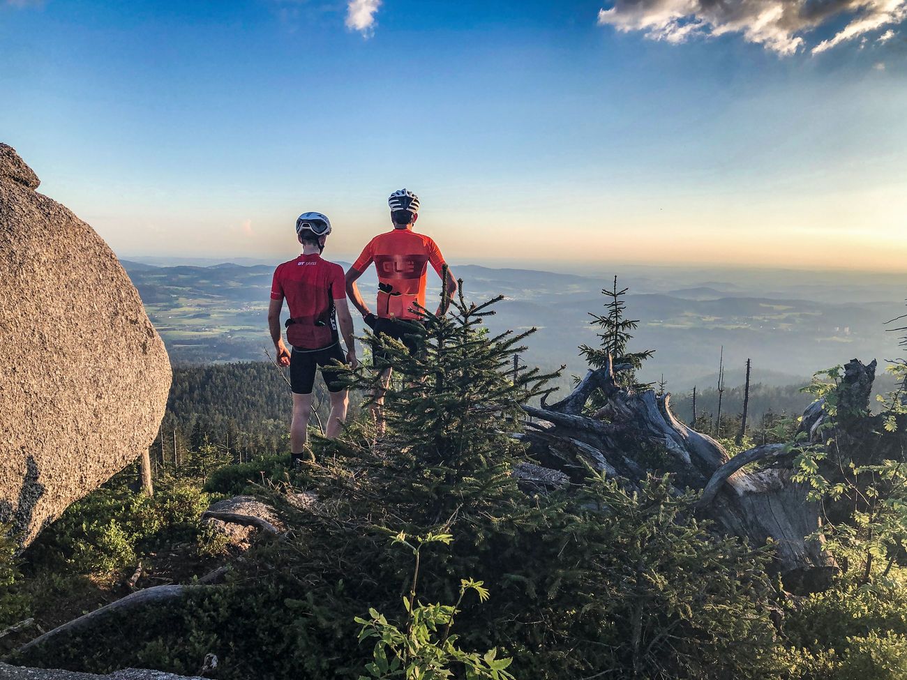
Peak tour through Germany: the highest pass and mountain roads
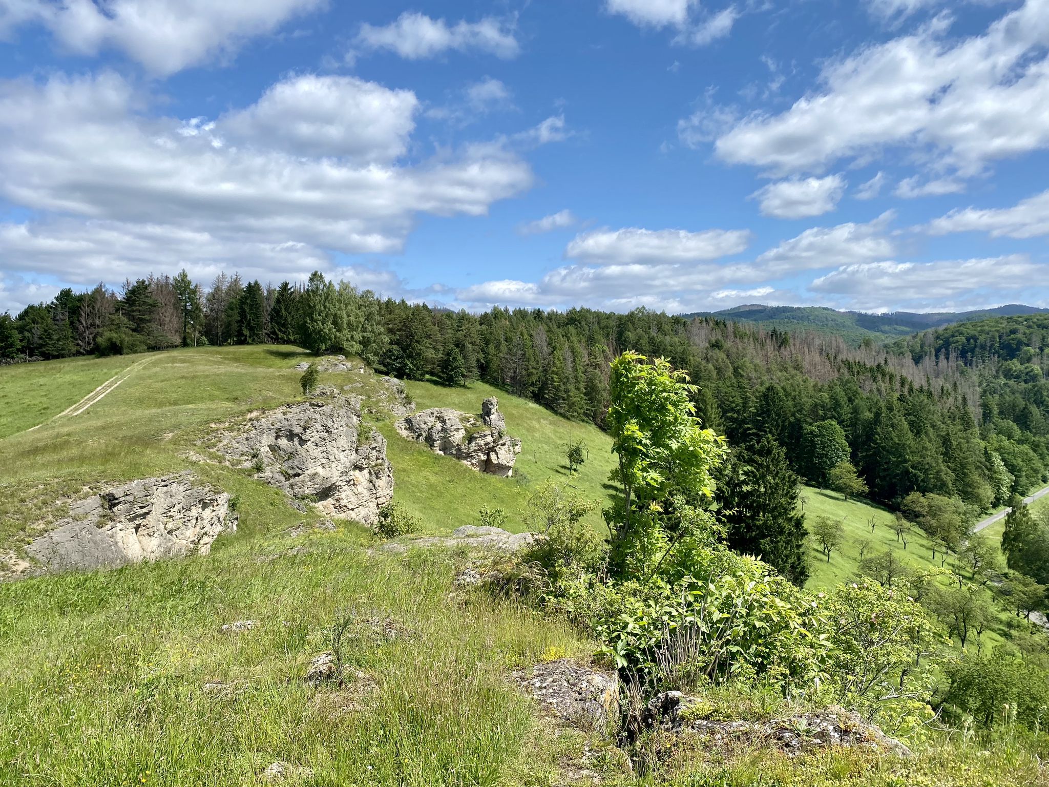
Karst Trail in Germany's Southern Harz Mountains – Where Water Meets Limestone
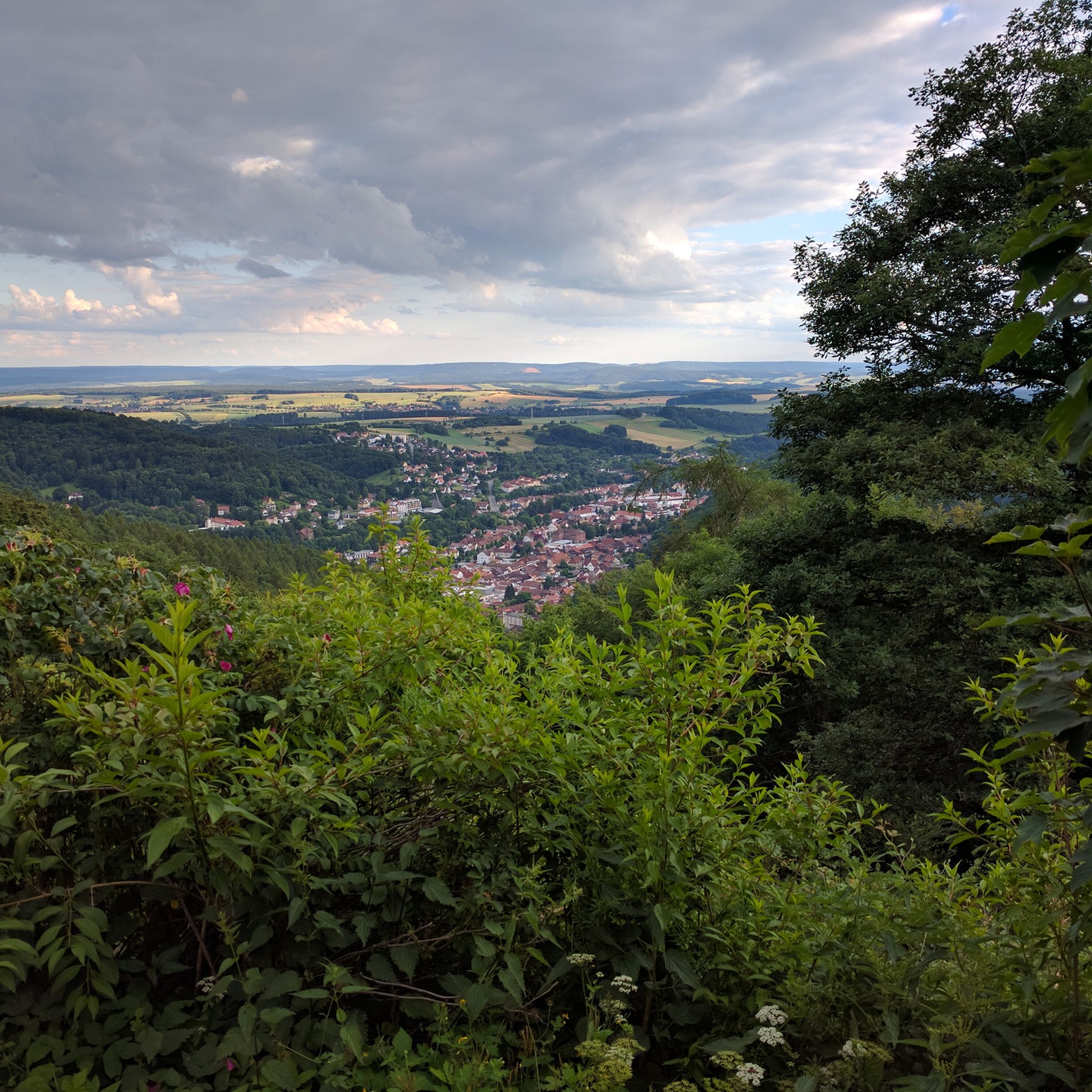
Hiking around Bad Lauterberg
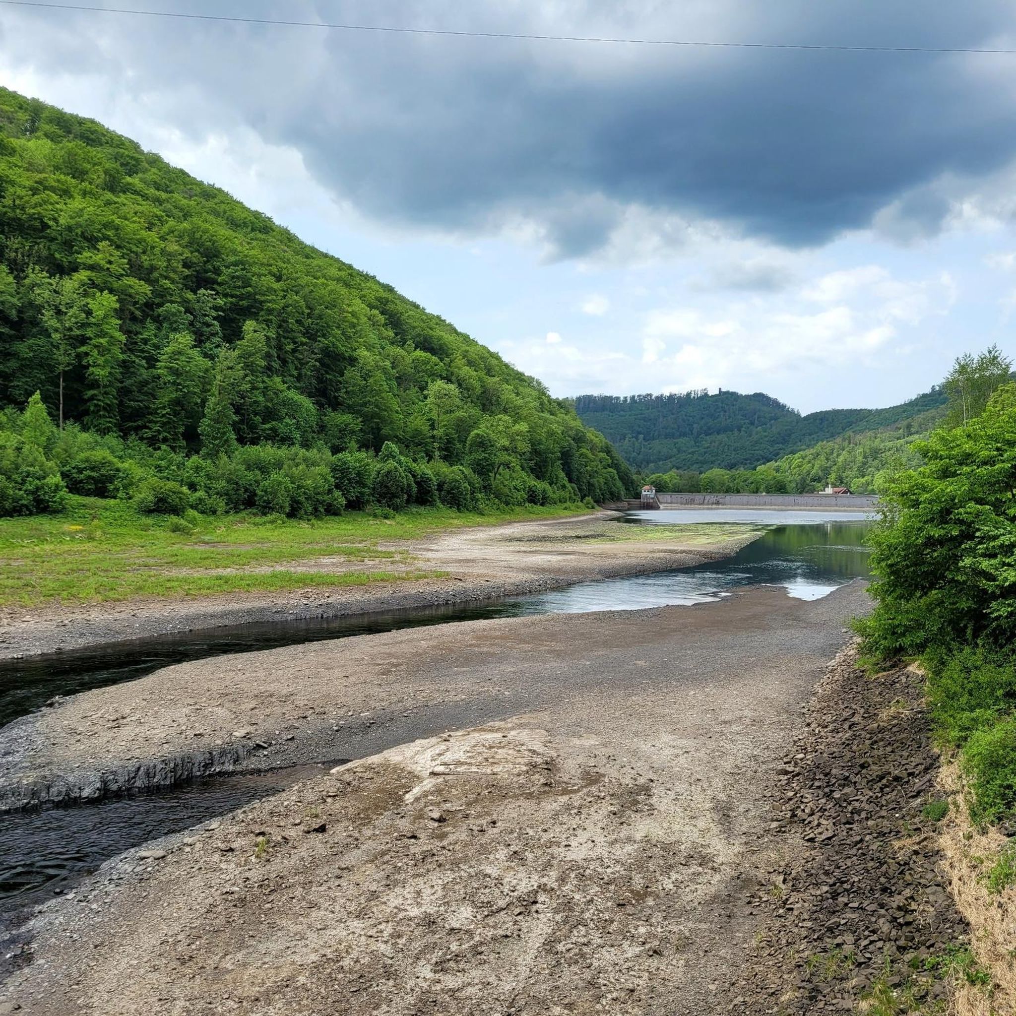
Cycling around Bad Lauterberg
MTB Trails around Bad Lauterberg
Running Trails around Bad Lauterberg
Gravel biking around Bad Lauterberg
Mountain Hikes around Bad Lauterberg


Tips from the Community

Most of the bridges could be used for the cycle path, so cyclists and hikers have a green route with little gradient available. Only in Rhumspringe does the official route lead through the town – the most beautiful, but undeveloped viaduct on the route is left to one side.
1
0

The Brocken summit is always exciting
0
0

just so beautiful here and perfect asphalt
1
0

a historical shudder every time.
0
0

The climb to the base point is suitable for road bikes and not as busy. Going down via Wieda is an option. The road is in better condition there.
1
0

A 14-kilometer climb up the Brocken from Elend. The first section is quite challenging. Near Schierke, there's even a short downhill section. The final kilometer to the summit is a bit strenuous. Be careful of other cyclists and hikers.
1
0

Beautiful stream. Sit down and take a short break. Totally relaxing with the sound of the water splashing.
1
0

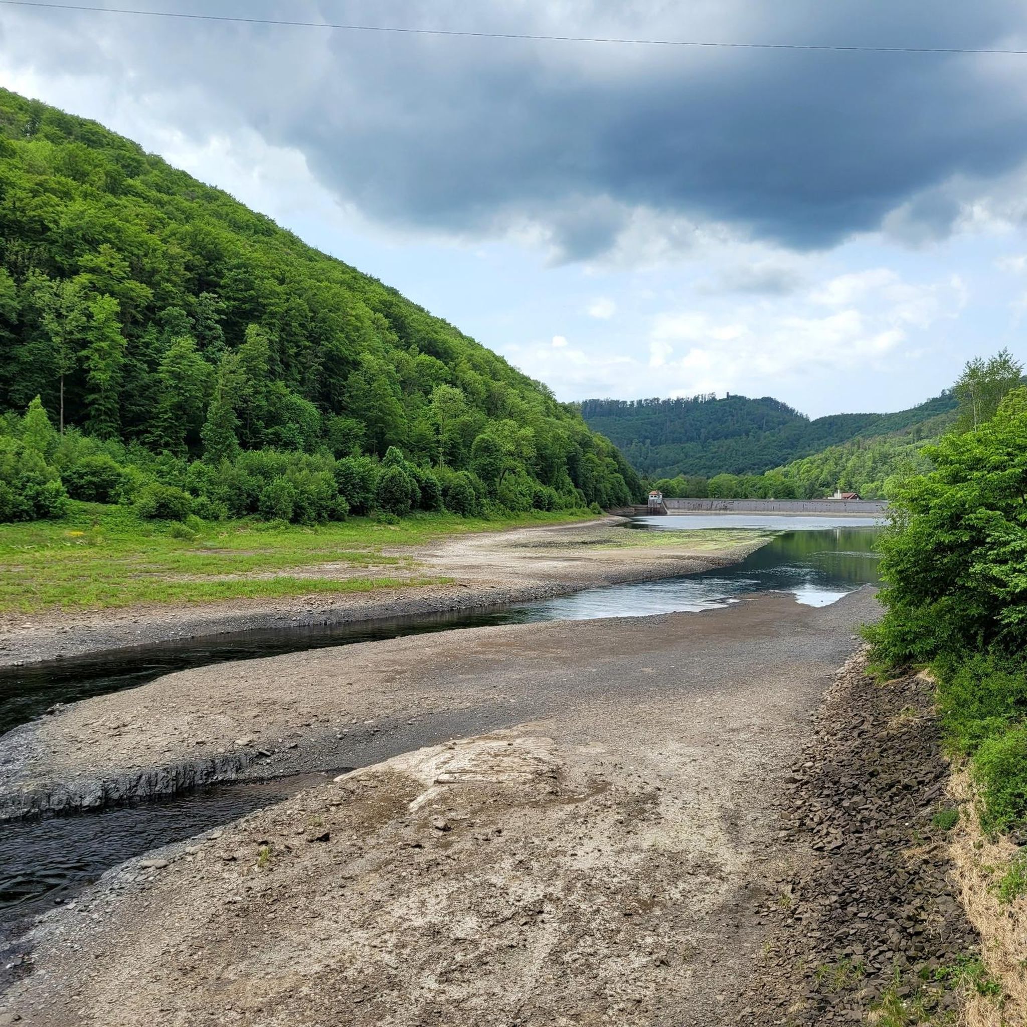
The Oder Dam dams the Oder, a tributary of the Rhume. The reservoir is used extensively for water sports such as fishing, sailing and surfing, and there are beautiful hiking trails around it. It is not used to produce drinking water, but solely for flood protection, low water levels and environmentally friendly energy production. The Oder Dam hydroelectric power station, completed in 1933, was last extensively modernized in 2015 and supplies around 1,500 households with green electricity. https://www.badlauterberg.de/poi/odertalsperre
3
0
Frequently Asked Questions
How many road cycling routes are available around Bad Lauterberg im Harz?
There are over 50 road cycling routes available around Bad Lauterberg im Harz, offering a wide range of options for different skill levels and preferences.
Are there easy road cycling routes suitable for beginners in Bad Lauterberg?
Yes, Bad Lauterberg offers several easy road cycling routes. For instance, the Rhume River – Rhumspringe Viaduct loop from Aue is an easy 26.2-mile (42.1 km) trail that follows the Rhume River, providing a mostly flat profile perfect for a relaxed ride.
What are some challenging road cycling routes for experienced riders near Bad Lauterberg?
Experienced riders looking for a challenge can tackle routes with significant elevation gain. The Brocken Summit – Ascent to the Brocken from Elend loop from Bad Lauterberg im Harz Barbis is a difficult 84.2-mile (135.5 km) path that ascends towards the Brocken, the highest peak in the Harz Mountains.
Can I find circular road cycling routes in the Bad Lauterberg area?
Many of the road cycling routes around Bad Lauterberg im Harz are designed as loops, allowing you to start and finish at the same point. For example, the Oderteich – Descent to Braunlage loop from Kirchberg is a popular circular route.
What kind of scenery can I expect on road cycling routes around Bad Lauterberg?
Road cycling around Bad Lauterberg im Harz offers diverse scenery, from rolling hills and dense forests to river valleys and scenic reservoirs. You'll encounter a mix of open stretches and winding roads through natural areas, characteristic of the Harz Mountains.
Are there any notable landmarks or attractions to see along the road cycling routes?
Yes, the region boasts several interesting natural and historical landmarks. You might pass by the Silberteich, the Scharzfels Castle Ruins, or even the famous Unicorn Cave (Einhornhöhle). Some routes also feature waterfalls like the Upper Bode Falls.
What do other road cyclists say about the routes in Bad Lauterberg im Harz?
The road cycling routes in Bad Lauterberg im Harz are highly rated by the komoot community, with an average score of 4.7 stars from nearly 100 reviews. Cyclists often praise the varied terrain, well-maintained roads, and the beautiful natural surroundings of the Harz Mountains.
Are there road cycling routes that pass by lakes or reservoirs?
Yes, several routes incorporate the region's beautiful water bodies. The Oderteich – Descent to Braunlage loop from Kirchberg, for example, leads past the Oderteich reservoir. Another option is the Juessee Lake, Herzberg am Harz – Rhume River loop from NSG Butterberg/ Hopfenbusch.
What is the best time of year for road cycling in Bad Lauterberg im Harz?
The best time for road cycling in Bad Lauterberg im Harz is typically from spring through autumn (April to October). During these months, the weather is generally mild, and the natural scenery is at its most vibrant. Always check local weather forecasts before heading out.
Are there any moderate difficulty road cycling routes in the area?
Yes, Bad Lauterberg offers a good selection of moderate routes. The Ruins of Walkenried Abbey – Odertalsperre loop from Bad Lauterberg im Harz Barbis is a moderate 41.6-mile (66.9 km) route that provides a balanced challenge with rewarding views.
Can I find road cycling routes that explore historical sites?
Absolutely. The Harz region is rich in history. For instance, the Ruins of Walkenried Abbey – Odertalsperre loop from Bad Lauterberg im Harz Barbis passes near the historical Walkenried Abbey, offering a blend of cycling and cultural exploration.
Most popular routes around Bad Lauterberg
Most popular attractions around Bad Lauterberg

Get inspired with the komoot mobile app


Explore more
Browse the best Road cycling routes in other regions.
