The best walks and hikes around Missouri City
3.5
(2)
63
hikers
12
hikes
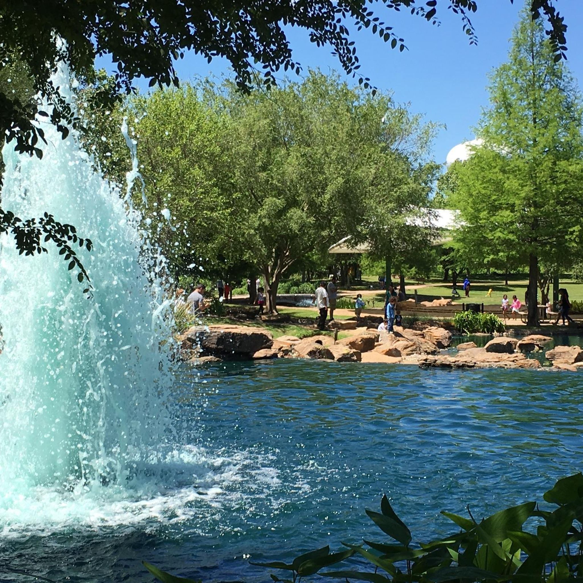
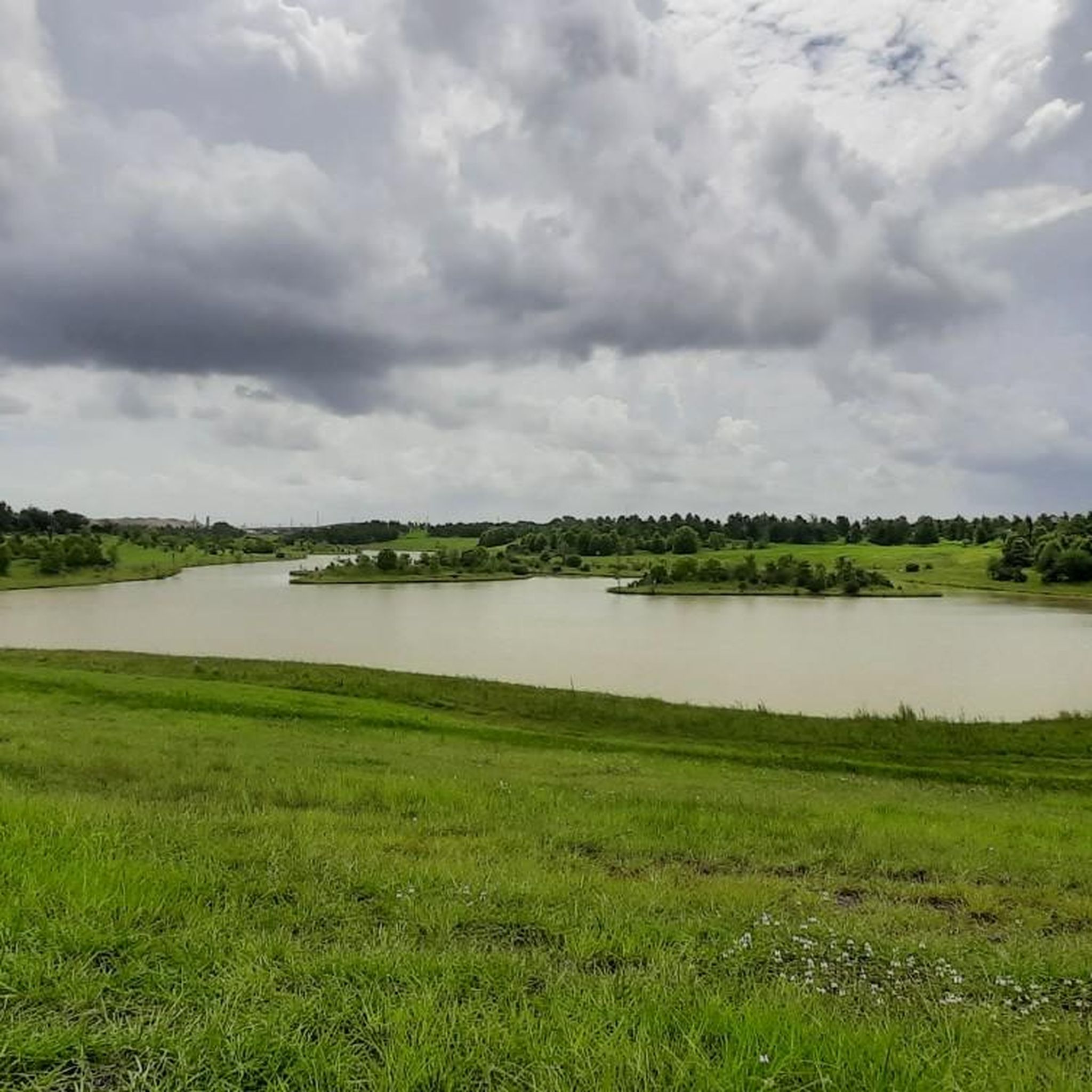
Hiking around Missouri City offers access to numerous parks and extensive trail systems within a metropolitan area. The region is characterized by a blend of developed recreational areas and natural elements, including bayous, green spaces, and community parks. Terrain is generally flat or mostly flat, though some areas may feature small hills and uneven surfaces, providing varied experiences for hikers.
Best hiking trails around Missouri City
- The most popular hiking route is Arthur Storey Park Stormwater Detention Basin, a…
Last updated: May 11, 2026
4
hikers
3.19km
00:49
10m
10m
Explore the easy 2.0-mile (3.2 km) hiking route around the Arthur Storey Park Stormwater Detention Basin, a peaceful urban oasis. You will find paved trails that gently wind around an…
3
hikers
5.37km
01:21
10m
10m
Enjoy an easy 3.3-mile hike on the Telfair Park Loop, featuring a scenic lake with an arched suspension bridge and lush landscaping.

Sign up for free
1
hikers
3.67km
00:55
0m
10m
Embark on an easy hike along the Shadow Creek Ranch Nature Trail, a 2.3-mile (3.7 km) route that offers a gentle 11 feet (4 metres) of elevation gain, typically completed…
1.93km
00:30
10m
10m
Enjoy an easy 1.2-mile hike on the Karankawa Trail in Houston's Willow Waterhole Greenway, perfect for a quick outdoor escape.
61.8km
15:43
160m
170m
Hike the 38.4-mile Brays Bayou Greenway in Houston, a challenging route blending urban landscapes with bayou scenery and city parks.
Get access to more routes and recommendations from other explorers.
Sign up for free
Already have an account?
Our route recommendations are based on thousands of hikes, rides, and runs completed by other people on komoot.
Start today with a free account
Your next adventure awaits.
Login or Signup


Tips from the Community

Very helpful offering for broken down bikers.
0
0
A large picnic area in the south-east of Hermann park.
0
0
A nicely curated and maintained area to relax, think about life and remember those who died of AIDS.
0
0
Find some fitness machines here. This area is very well maintained and under a canopy, so that you can train easily, even if the sun is out. Water fountain closeby.
0
0
Impressive power and heat generating plant on the shore of Brays Bayou
0
0
Convenient access to Brays Bayou by public transportation.
0
0

MacGregor Park is a 65-acre park that has a memorial statue of Martin Luther King, Jr., a tennis court and several picnic areas. It is on the banks of Brays Bayou and gives you a good view of the water.
0
0

The Urban Forest of Hermann Park is a small forest tucked away in Bayou Parkland. It borders Brays Bayou and is a cool place to find shade and peace. There are a few unpaved paths and boardwalks going through these woods open to the public to explore.
0
0
Frequently Asked Questions
What is the typical terrain and difficulty of hiking trails in Missouri City?
Hiking trails in Missouri City generally feature flat or mostly flat terrain. While many routes are considered easy, some areas may present uneven surfaces and small hills, offering a varied experience. For example, routes like Arthur Storey Park Stormwater Detention Basin and Telfair Park Loop are rated easy, providing accessible options for most hikers.
Are there any challenging hikes in Missouri City?
While most trails in Missouri City are easy to intermediate, there is at least one route that offers a more challenging experience. The Brays Bayou Greenway is rated as difficult, covering a significant distance and elevation changes, suitable for experienced hikers looking for a longer excursion.
What are some notable parks or trails to explore in Missouri City?
Missouri City offers several excellent parks and trails. The award-winning Edible Arbor Trail, also known as Oyster Creek Trail, is unique for its fruit and nut-producing trees. Other popular spots include Community Park, Kitty Hollow Park, and Independence Park, which provides access to the Gulf Coast Water Trail. You can also explore routes like the Shadow Creek Ranch Nature Trail for a natural ranch setting.
What makes the Oyster Creek Trail unique?
The Oyster Creek Trail, also known as the Edible Arbor Trail, is a distinctive 2.31-mile paved path running along Oyster Creek Bayou. It's notable for its groves of fruit and nut-producing trees and shrubs, such as mulberry, fig, pecan, and cherry, offering a unique foraging experience. It also connects to Sugar Land's trail system.
Are there family-friendly hiking options in Missouri City?
Yes, Missouri City has many family-friendly hiking options. Parks like Community Park and Kitty Hollow Park offer extensive green spaces and trails suitable for leisurely walks. The generally flat terrain of most trails, such as the Telfair Park Loop, makes them accessible for families with children and even strollers.
Can I bring my dog on hikes in Missouri City?
Many parks and trails in Missouri City are dog-friendly, making it a great place to hike with your canine companion. It's always recommended to keep dogs on a leash and adhere to any posted regulations within specific parks or trail systems to ensure a pleasant experience for everyone.
Is parking available at trailheads in Missouri City?
Yes, most parks and trail systems in Missouri City, such as Community Park, Kitty Hollow Park, and Independence Park, offer designated parking areas for visitors. For specific routes, it's advisable to check the starting point details on komoot for parking information.
Do I need any permits or pay fees to hike in Missouri City?
Generally, hiking in Missouri City's municipal parks and trails does not require permits or fees. These public spaces are freely accessible for recreational use. However, for specific events or facilities within parks, there might be associated costs.
What is the best time of year to go hiking in Missouri City?
The best time to hike in Missouri City is typically during the cooler months, from late fall through early spring (October to April). During these periods, temperatures are more moderate, making for a more comfortable hiking experience. Summers can be very hot and humid, with a higher presence of insects, so early mornings or late evenings are preferable if hiking during warmer months.
What can I see along the hiking trails in Missouri City?
Along Missouri City's hiking trails, you can enjoy a blend of natural features and developed recreational areas. Many trails run along bayous, offering opportunities to observe local flora and fauna. You might also encounter points of interest such as the Veterans Memorial Eagle, or explore areas like the Brazos River Trail nearby.
Are there any circular routes available for hiking in Missouri City?
Yes, Missouri City offers several circular routes perfect for a complete hiking experience. An example is the Telfair Park Loop, which provides a convenient loop through a community park setting, allowing you to start and end at the same point.
How many hiking trails are available in Missouri City?
There are over 10 hiking routes documented on komoot for Missouri City, ranging in difficulty and length. These trails offer diverse experiences, from short, easy loops to longer, more challenging greenway paths.
Most popular attractions around Missouri City

Get inspired with the komoot mobile app


Explore more
Browse the best Hikes in other regions.
