The 20 Most Amazing Peaks around St.Kathrein am Offenegg
Best mountain peaks around St.Kathrein am Offenegg are situated within the Almenland Nature Park in Styria, Austria. This region is characterized by expansive alpine pastures and high-altitude areas, offering diverse hiking terrain. St.Kathrein am Offenegg provides access to numerous peaks and plateaus, known for their panoramic views and unique cultural landscape shaped by centuries of alpine farming. The area features a network of trails suitable for various skill levels.
Best mountain peaks around St.Kathrein am Offenegg
- The most popular mountain…
Last updated: May 11, 2026
Heulantsch Summit
Highlight • Summit
Translated by Google •
Tip by

Hochlantsch Summit
Highlight • Summit
Translated by Google •
Tip by

Sign up now to discover places like this
Get recommendations on the best single tracks, peaks, & plenty of other exciting outdoor places.
Sign up for free
Rote Wand Summit
Highlight • Summit
Although the red wall can also be …
Translated by Google •
Tip by

Plankogel Summit Cross
Highlight • Summit
Translated by Google •
Tip by
Hoher Zetz summit cross
Highlight • Summit
Translated by Google •
Tip by
Sign up for free to discover even more peaks around St.Kathrein am Offenegg.
Sign up for free
Already have an account?
Start today with a free account
Your next adventure awaits.
Login or Signup
Popular around St.Kathrein am Offenegg

Discover Styria in Austria on foot – ‘From Glacier to Wine’ North Route
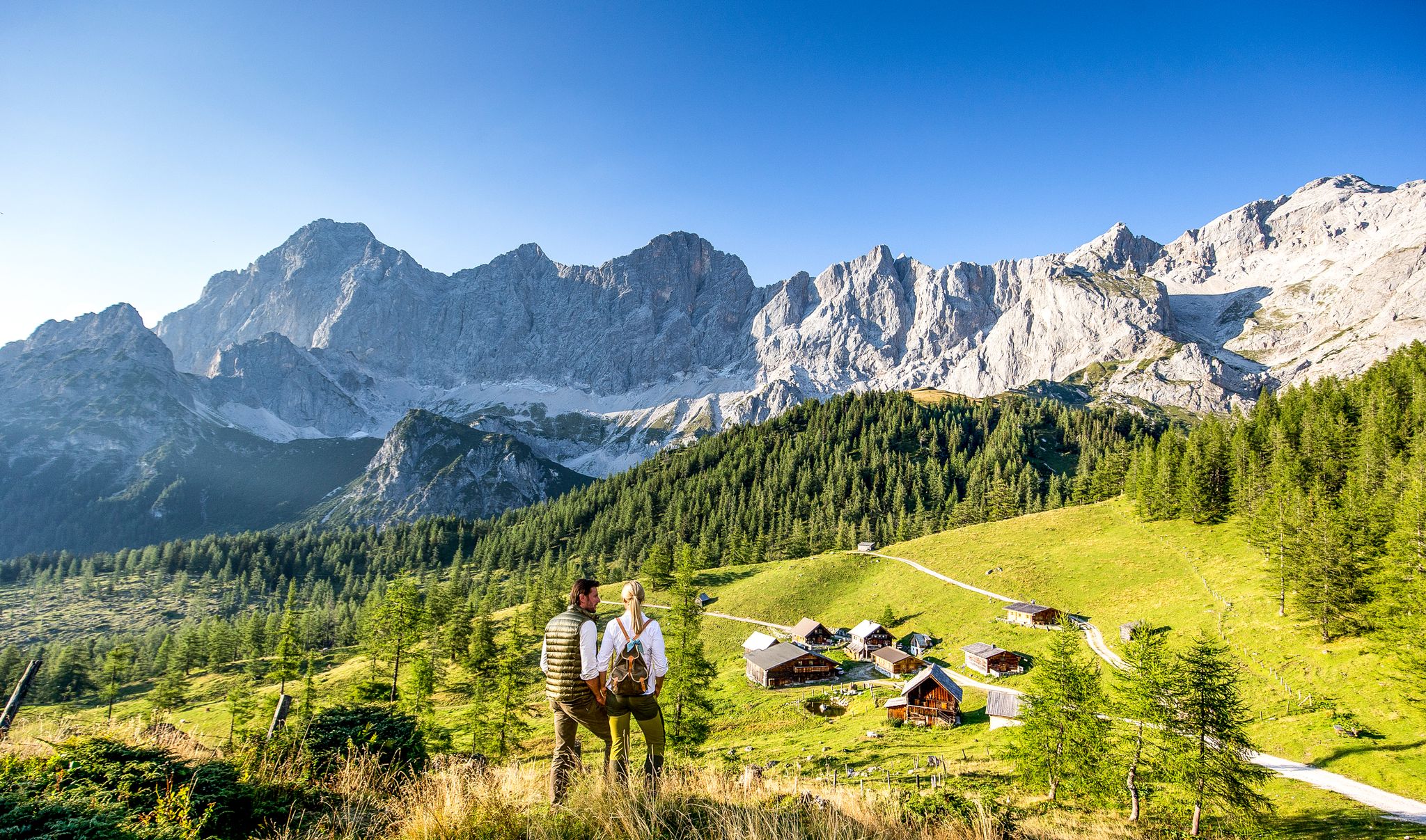
Endless hiking experiences in Styria
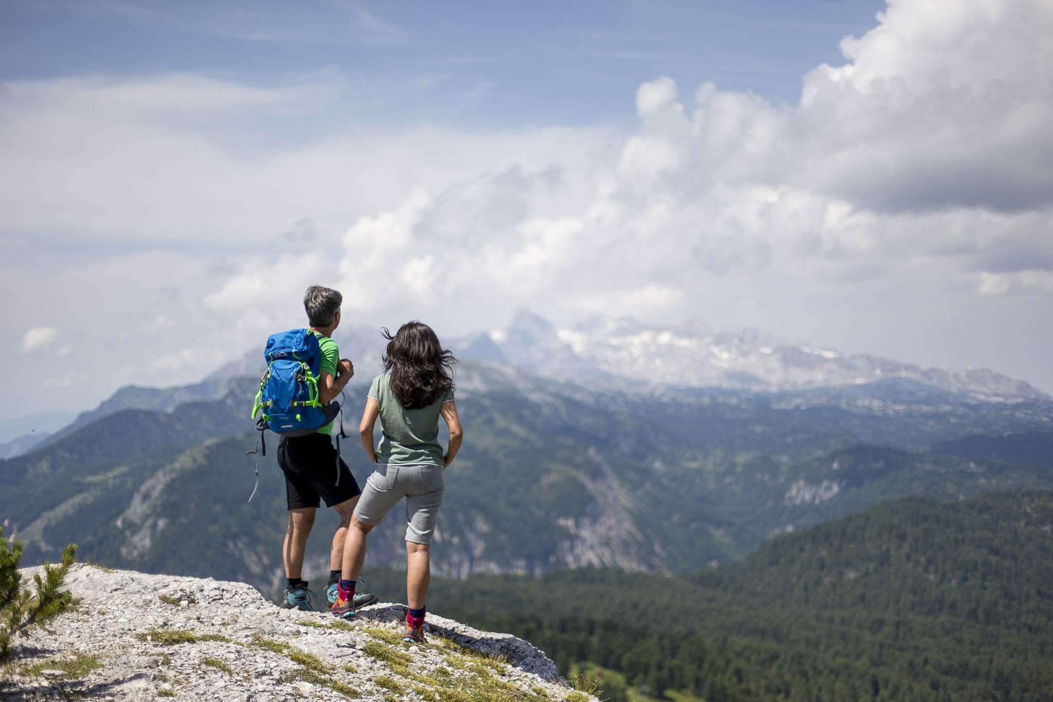
The most beautiful hikes for your summer in Styria
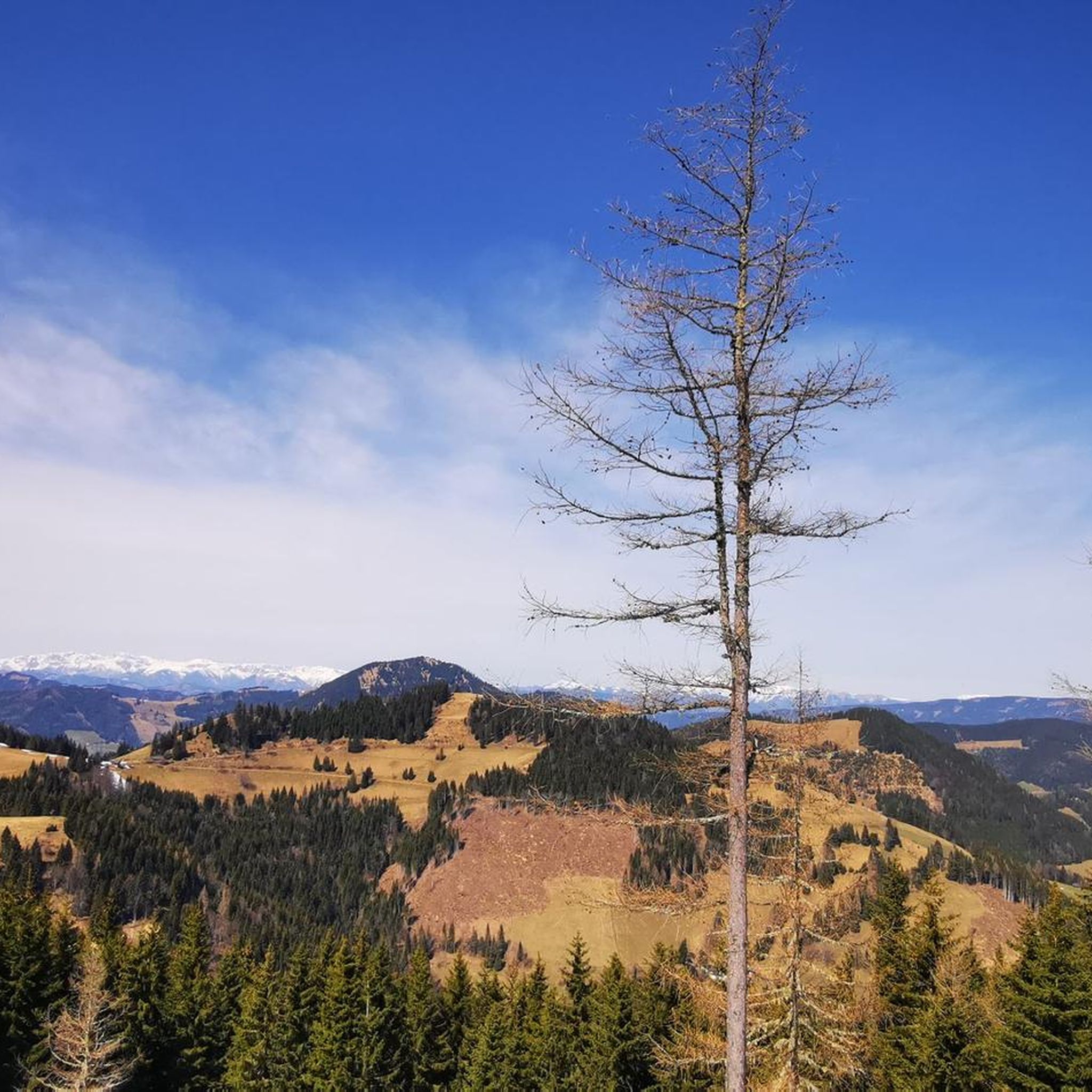
Hiking around St.Kathrein am Offenegg
MTB Trails around St.Kathrein am Offenegg
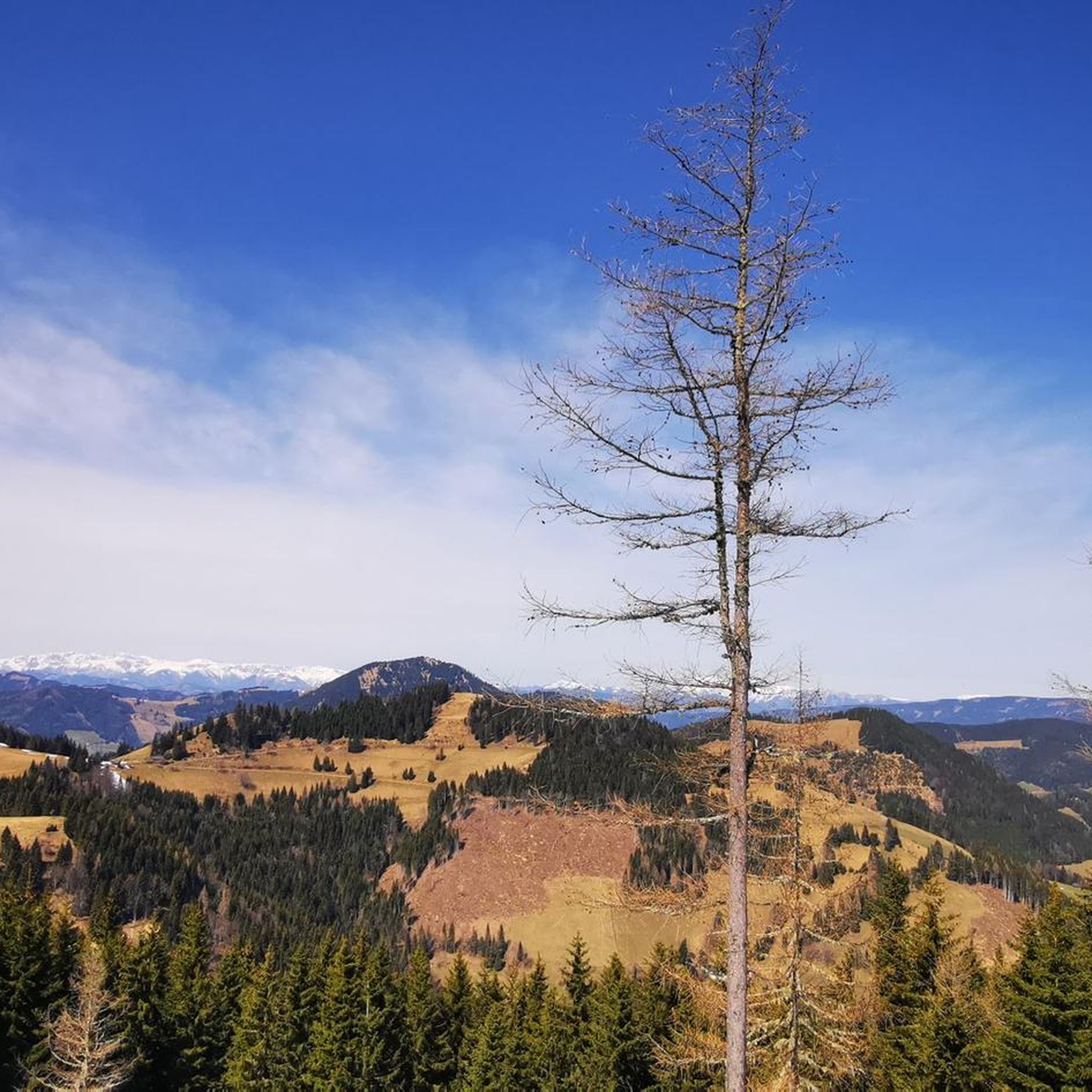
Cycling around St.Kathrein am Offenegg
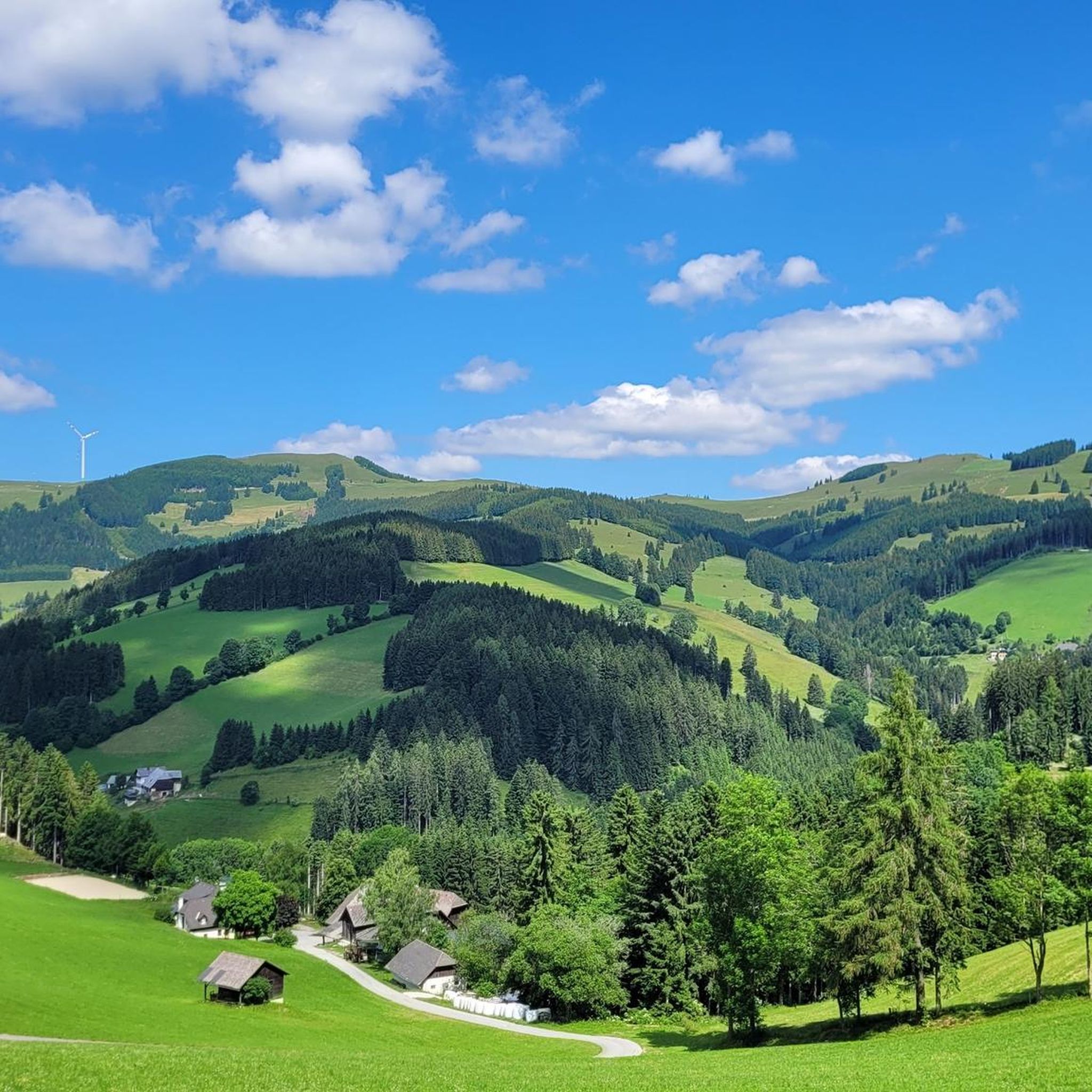
Running Trails around St.Kathrein am Offenegg
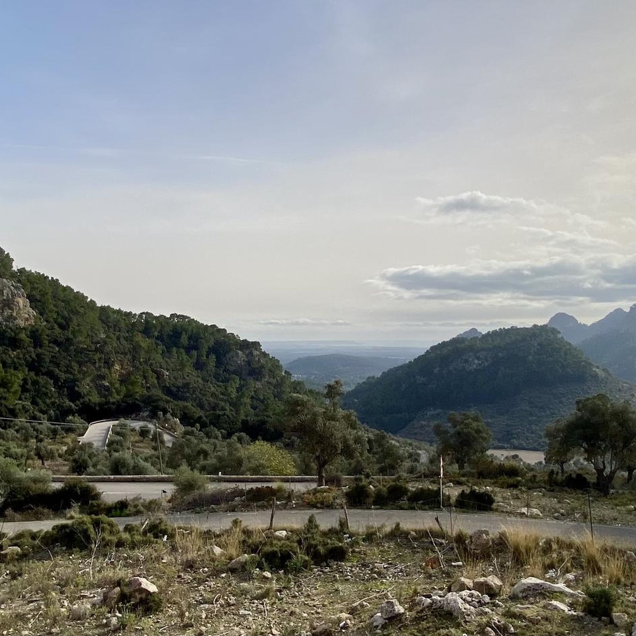
Mountain Hikes around St.Kathrein am Offenegg
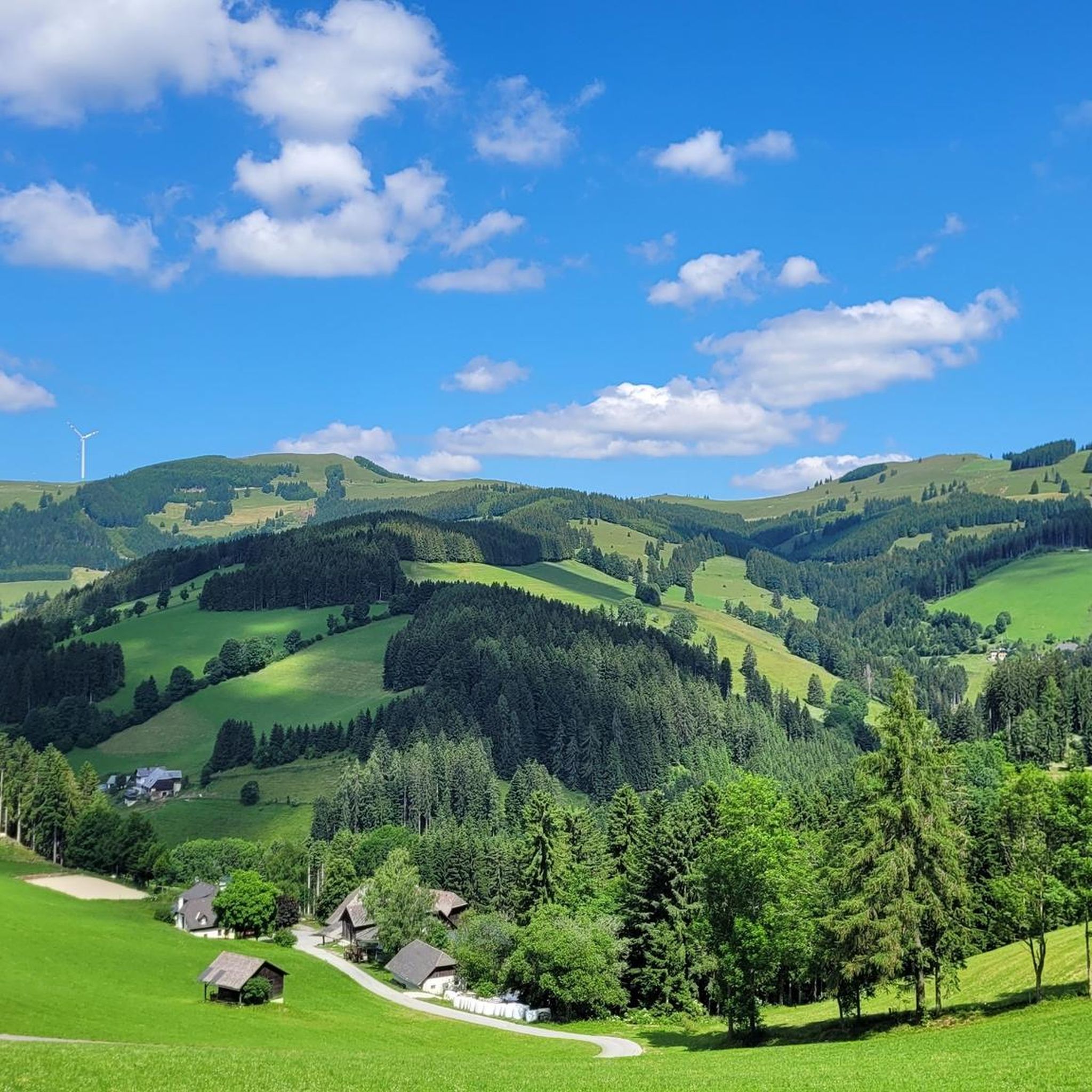
Road Cycling Routes around St.Kathrein am Offenegg

Gravel biking around St.Kathrein am Offenegg
Other adventures around St.Kathrein am Offenegg


Tips from the Community

Great hike! Highly recommended. Great views, enjoy nature, a bit strenuous in places, surefootedness required around the summit. Take plenty of water with you! With a bit of luck you can see ibexes and chamois.
2
0

Great view, from the Dachstein to Hungary
2
0

From the summit cross of the Hoher Zetz you have a beautiful view towards Schöckl, the Sommeralm with the Plankogel 🗻 and to the east of the Kulm and Burgenland 🌞 On very clear days all the way to Hungary 🌏 Since you are allowed to park at the Gschnaidter Kreuz at around 825 meters above sea level, it is also possible to stay there until sunset 🌄, as on the way back you can also choose forest paths for the descent, with the exception of the first hundred meters in altitude 🌜🦊
8
0

The Heulantsch (1,473 m) is one of numerous mountains in the Almenland Nature Park. At the summit cross there is a summit book for entries. The view of the Graz mountains, the Hochschwab and the Zirbitzkogel is amazing. Be sure to plan a little time and let the place work its magic on you.
1
0
I wish you a happy new year! Please can someone take a new booklet to the summit when they get the chance? Unfortunately, the summit book was full on December 31, 2023. Thank you :)
3
0

The high Zetz is an easily accessible mountain in the Weiz district. When we were there on a beautiful autumn day, it was very busy. There is a summit cross and a few opportunities to sit down (stones, meadow). View not completely clear due to trees.
2
0
A beautiful rocky peak with 360 degree views. Surefootedness required to walk to the cross. Lots going on when the weather is nice.
2
0
On October 14th we deposited a new summit book and a new ballpoint pen so that hiking enthusiasts can sign their names in a summit book again.
5
0
Frequently Asked Questions
What are some of the most popular mountain peaks to visit around St. Kathrein am Offenegg?
The region offers several popular peaks. Among them, Hochlantsch Summit is the highest in the Grazer Bergland, providing extensive views. Rote Wand Summit is known for its steep drop and excellent panoramic views, accessible to both hikers and climbers. For easier access and stunning sunsets, the Plankogel Summit Cross is a favorite.
Are there family-friendly hiking options among the mountain peaks near St. Kathrein am Offenegg?
Yes, the Plankogel Summit Cross is considered family-friendly due to its easy accessibility from the Stoakoglhütte car park. The Sommeralm and Teichalm plateau also offer numerous hiking trails with varying difficulty levels, including gentle strolls across pastures suitable for families.
What kind of natural features can I expect to see when hiking these mountain peaks?
You will encounter expansive alpine pastures, lush green meadows, scattered forests, and tranquil mountain ponds like the picturesque Teichalmsee. Peaks such as Rote Wand Summit feature dramatic craggy cliffs, while the Hochlantsch Summit offers impressive natural features and panoramic views over the surrounding ridges.
What is the best time of year to hike the mountain peaks around St. Kathrein am Offenegg?
The region is beautiful throughout the warmer months, generally from spring to autumn. The expansive alpine pastures are particularly vibrant in summer. Autumn offers stunning colors, and some areas like the Teichalm are also popular for cross-country skiing in winter, though winter hiking conditions require specific preparation.
Are there any mountain huts or places to eat near the trails?
Yes, the Almenland Nature Park, which encompasses these peaks, is known for its traditional alpine huts serving local specialties. For example, the Tyrnaueralm, located on the way to Rote Wand Summit, is staffed from May to October. The Stoakoglhütte is also a good starting point for hikes to the Plankogel Summit Cross and offers parking.
What are the highest peaks in the St. Kathrein am Offenegg area?
The highest peak in the immediate vicinity and the Grazer Bergland is Hochlantsch Summit, standing at 1,720 meters. Other notable high points include Rote Wand Summit at approximately 1,500 meters and Plankogel Summit Cross at 1,532 meters.
What other outdoor activities can I do near the mountain peaks of St. Kathrein am Offenegg?
Beyond hiking, the region offers various outdoor activities. You can explore mountain biking trails, with options like the 'Tyrnauer Alm – Breitalm loop' or the 'Stoakogl Hut – Sommeralm loop'. There are also running trails, such as the 'Beautiful boardwalk – Hochlantsch Summit loop'. For more details, refer to our guides on MTB Trails around St.Kathrein am Offenegg and Running Trails around St.Kathrein am Offenegg.
Are there challenging hiking routes for experienced hikers?
Yes, peaks like Hochlantsch Summit offer more challenging terrain. The 'Hochlantsch Summit (1,720 m) – Mountain Church loop' is a difficult mountaineering route. The Rote Wand Summit also has options for climbers and more demanding hiking variants. You can find more challenging routes in our Mountain Hikes around St.Kathrein am Offenegg guide.
Where can I find the best panoramic views in the region?
Many peaks offer excellent panoramic views. The Plankogel Summit Cross is renowned for its sweeping vistas. From Hochlantsch Summit, you can see over the race field, the Teichalm, and the Gleinalm. The Hoher Zetz summit cross provides views towards Schöckl, the Sommeralm, and even to Burgenland on clear days.
Is it possible to reach these mountain peaks by public transport?
While specific public transport routes directly to all trailheads might be limited, St. Kathrein am Offenegg is within the Almenland Nature Park. It's advisable to check local bus schedules or consider driving to key starting points like the Stoakoglhütte for Plankogel or designated car parks for Rote Wand, as these often have better accessibility.
Are there any circular walks available in the mountain region?
Yes, circular walks are a popular way to experience the area. For instance, a circular route from the Stoakoglhütte to the Plankogel Summit Cross is available, offering clear views. A combination of routes around the Rote Wand Summit, starting from the 'Rote Wand' car park and continuing via Tyrnaueralm to Teichalm, can also form a full-day round trip.
What makes the Teichalm and Sommeralm areas unique?
The Teichalm and Sommeralm form Europe's largest contiguous low alpine pastureland, encompassing 125 interconnected alpine pastures. This vast plateau is characterized by its unique cultural landscape shaped by centuries of alpine farming, diverse flora and fauna (including orchids), and a wide network of trails suitable for all skill levels, from easy strolls to more challenging routes.
Most popular routes around St.Kathrein am Offenegg
Most popular attractions around St.Kathrein am Offenegg

Get inspired with the komoot mobile app


Explore more
See even more amazing summits around St.Kathrein am Offenegg with these guides:
