The best cycling routes around Carrollton
4.5
(38)
552
riders
58
rides
Best cycling routes Carrollton TX feature an extensive network of multi-use trails, many of which are paved and suitable for various skill levels. The city's landscape is characterized by waterways such as Furneaux Creek, the Elm Fork of the Trinity River, and Lake Remle, which often define the routes. Green spaces, including the Elm Fork Nature Preserve and numerous city parks, provide scenic backdrops for touring cyclists.
Best touring cycling routes around Carrollton
- The most popular touring cycling route is White Rock Lake Dam – White Rock Lake Trail loop from Farmers Branch, a 40.0 miles (64.4 km) trail that takes 3 hours 45 minutes to complete. This route offers a moderate challenge for touring cyclists.
- Another top favourite among local touring cyclists is Bike loop from Carrollton West Pet Hospital, an easy 15.6 miles (25.1 km) path. This route provides a gentle ride through local areas.
- Local touring cyclists also love the Campion Trail (north end) – Campion Trail loop from Valley Ranch, a 10.7 miles (17.3 km) trail leading through green spaces, often completed in about 1 hour.
- Touring cycling around Carrollton is defined by its multi-use paved trails, diverse waterways, and extensive green spaces. The network offers options for different ability levels, from easy loops to more challenging long-distance routes.
- The routes in Carrollton are highly rated by the komoot community with an average score of 4.5 stars from over 50 reviews. More than 450 touring cyclists have used komoot to explore Carrollton's varied terrain.
Last updated: October 27, 2026
5.0
(1)
46
riders
Easy bike ride. Mostly paved surfaces.
25
riders
26.3km
01:32
60m
60m
Easy bike ride. Mostly paved surfaces.

5.0
(3)
24
riders
Easy bike ride. Mostly paved surfaces.
16
riders
88.0km
05:22
320m
320m
Hard bike ride. Very good fitness required. Mostly paved surfaces.
8
riders
14.6km
00:52
50m
50m
Easy bike ride. Mostly paved surfaces.
Get access to more routes and recommendations from other explorers.
Already have an account?
Our route recommendations are based on thousands of hikes, rides, and runs completed by other people on komoot.
Start today with a free account
Your next adventure awaits.
Popular around Carrollton

Tips from the Community

For now, the north end of the Campion Trail as it comes up against the East Belt Line Road.
0
0
Near the south end of the Campion Trail. When fully complete, this multiuse trail will be about 22 miles long. Right now, it's a little more than 17, with most of its length winding alongside the Elm Fork Trinity River. There is actually one more trailhead to the south, at California Crossing Park.
2
0

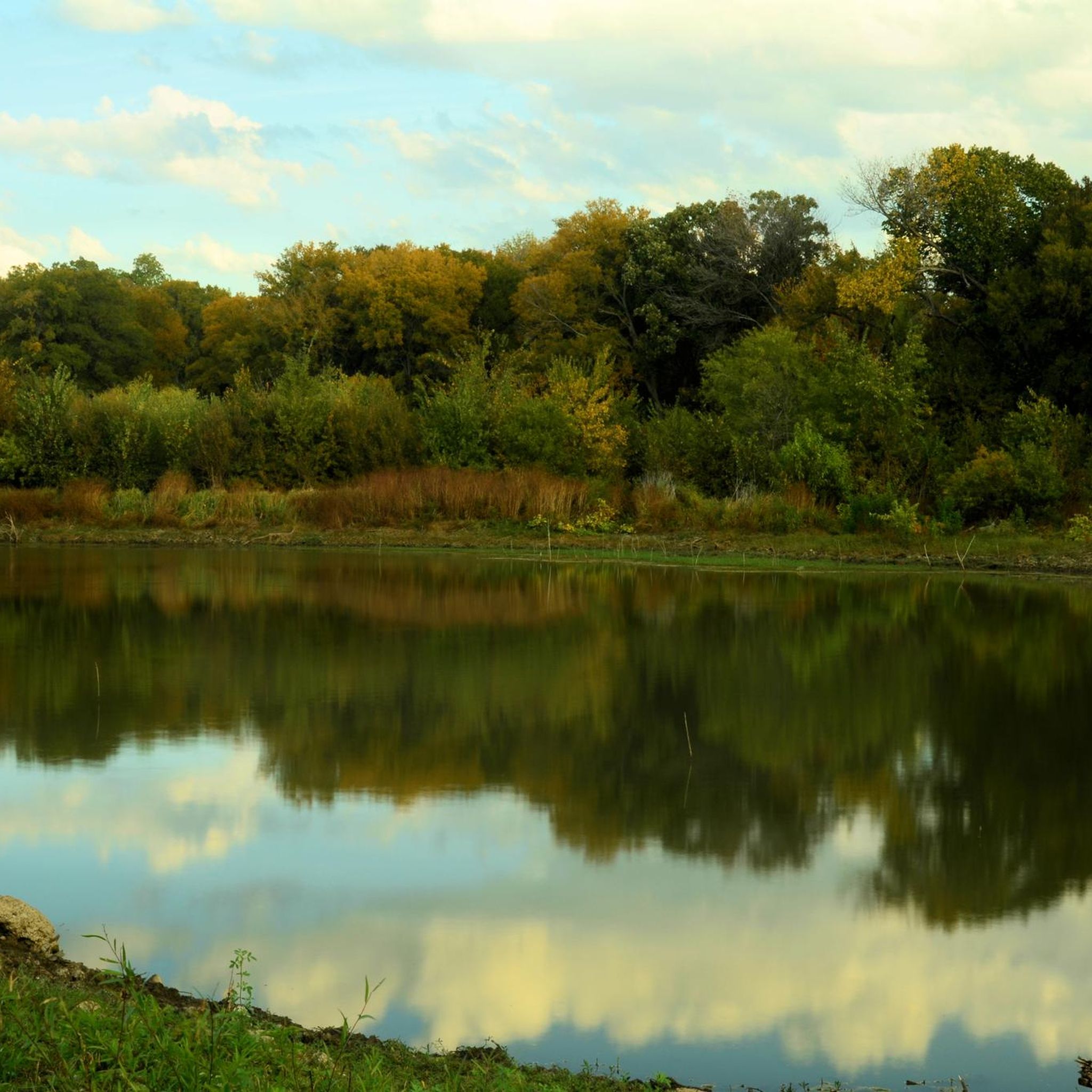
The Campion Trail is a 22-mile long paved greenbelt trail around Irving. This section runs alongside the Elm Fork Trinity River and pass through beautiful wetlands and open fields.
0
0

Lindsley Park is an 8-acre neighborhood park located in Dallas, Texas. Established in 1947, the park offers a variety of amenities, including a baseball field, outdoor basketball court, pavilion, picnic tables, playground, and drinking fountain.
0
0
The Ridgewood Trail in Dallas, Texas, is a paved, multi-use pathway stretching just over 1 mile, beginning at Skillman Street and extending to the SoPac Trail near Fisher Road. This trail connects the University Crossing Trail and the SoPac Trail. Through these connections, it provides access to destinations such as the Ridgewood-Belcher Recreation Center (where parking is available), Mockingbird Station, and White Rock Lake. The Ridgewood Trail is part of a larger system that facilitates off-road travel between downtown Dallas and White Rock Lake.
2
0

White Rock Lake is a 1,254-acre reservoir formed by the damming of White Rock Creek. The creek flows into the lake and exits through a spillway before joining the Trinity River. The lake, with a maximum depth of 18 feet, is a popular spot for fishing, offering largemouth bass, channel catfish, and white crappie. Cyclists can circumnavigate the whole trail on paved pathways.
0
0

Nice park close to the Santa Fe Trail featuring a pavilion, multiple picnic tables, a playground, and a sports area. Good bus connections to Downtown from here.
0
0

Cycling along East Las Colinas Boulevard offers picturesque views of Lake Carolyn, enhancing the journey with its tranquil waters and scenic surroundings. The serene atmosphere and well-maintained paths create an ideal route for cyclists to enjoy both nature's beauty and a refreshing outdoor workout.
0
0
Frequently Asked Questions
How many touring cycling routes are available in Carrollton?
Carrollton offers a wide selection of touring cycling routes, with over 60 options available. These routes cater to various skill levels, including 40 easy, 21 moderate, and 2 difficult trails.
What kind of terrain can I expect on Carrollton's cycling trails?
Carrollton's cycling trails are primarily multi-use and paved, making them suitable for touring bikes. You'll find routes winding through diverse landscapes, including green spaces, along waterways like Furneaux Creek and the Elm Fork of the Trinity River, and past ponds in areas like the Nob Hill Greenbelt. The city's commitment to its trail network means well-maintained paths.
Are there any family-friendly cycling routes in Carrollton?
Yes, Carrollton has many family-friendly options, with 40 easy routes perfect for a relaxed ride. Trails like the Campion Trail (north end) – Campion Trail loop from Valley Ranch offer gentle rides through green spaces, ideal for families. The city's extensive paved trail network, including the Blue Line Trail, is designed for recreational use by all ages.
What are some notable natural attractions or landmarks to see while cycling in Carrollton?
While cycling in Carrollton, you can explore several natural attractions. The Campion Trail itself is a highlight, offering scenic views. You might also encounter the undisturbed ecosystem of the Elm Fork Nature Preserve, or cycle past bodies of water like Lake Carolyn and Bachman Lake. The Arbor Hills Nature Preserve is another beautiful spot to visit.
Are there any long-distance or more challenging routes for experienced touring cyclists?
For experienced touring cyclists seeking a challenge, Carrollton offers routes like the White Rock Lake Trail – White Rock Lake Spillway loop from Addison, which spans over 90 miles and is rated as difficult. Another moderate option is the White Rock Lake Dam – White Rock Lake Trail loop from Farmers Branch, covering 40 miles.
What do other touring cyclists say about the routes in Carrollton?
The touring cycling routes in Carrollton are highly regarded by the komoot community, holding an average rating of 4.5 stars from over 50 reviews. More than 450 touring cyclists have used komoot to explore the area, often praising the well-maintained paved trails and the scenic beauty of the green spaces and waterways.
Are there circular touring routes available in Carrollton?
Yes, many of Carrollton's touring cycling routes are designed as loops, offering convenient circular journeys. Examples include the Bike loop from Carrollton West Pet Hospital and the Campion Trail (south end) – Campion Trail loop from Ranchview High School, allowing you to start and end at the same point.
What is the best time of year for touring cycling in Carrollton?
Carrollton's climate generally allows for cycling year-round, but spring and fall offer the most pleasant conditions with milder temperatures. These seasons are ideal for enjoying the native flora, such as wildflowers, and observing wildlife without the intense heat of summer.
Are there specific trails that are particularly scenic or pass through natural preserves?
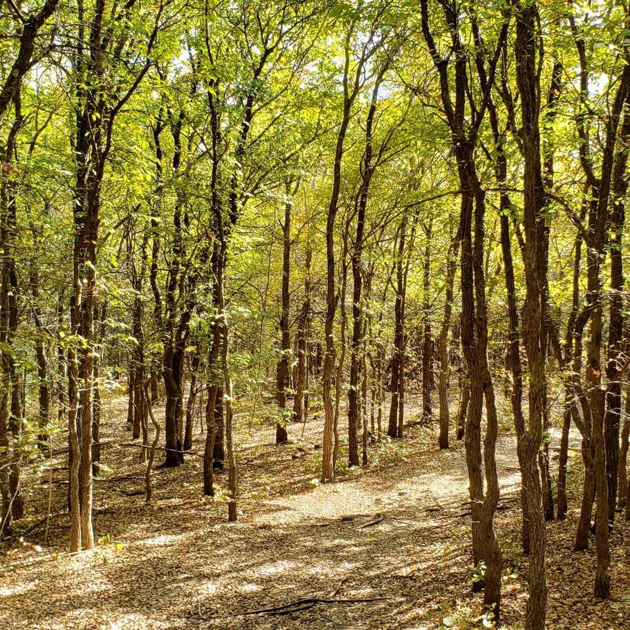
Absolutely. The Elm Fork Nature Preserve, a virtually undisturbed 40-acre ecosystem, offers a unique natural experience. The Creekview Trail meanders along Indian Creek, providing a pleasant ride through nature. Additionally, the Campion Trail system often runs alongside waterways and through green spaces, offering picturesque views.
What kind of wildlife might I see on the trails?
Carrollton's natural areas are home to diverse wildlife. Cyclists might spot Eastern Bluebirds, Monarch butterflies, Blue Jays, Red-winged Blackbirds, and Eastern Screech Owls. Occasionally, bobcats are also sighted, particularly in more secluded areas like the Elm Fork Nature Preserve.
Is public transport accessible near Carrollton's bike trails?
Carrollton is part of the Dallas Area Rapid Transit (DART) system, which provides public transport options. While specific DART access points directly adjacent to every trail may vary, the city's overall infrastructure aims to connect its trail network, making it possible to combine cycling with public transport for access to various routes.
Are there any trails that are particularly good for spotting native plants?
Yes, many of Carrollton's green spaces and trails are rich in native flora. You can expect to see plants like Switchgrass, Musk Thistle, Blue Sage, Common Sunflower, Honey Mesquite, Rough leaf Dogwood, Mexican Buckeye, and Indian Blanket, especially in designated wildflower locations and natural preserves like the Elm Fork Nature Preserve.
Most popular attractions around Carrollton

Get inspired with the komoot mobile app


Explore more
Browse the best Cycling routes in other regions.
