The best cycling routes around Cayce
4.8
(8)
126
riders
18
rides
Touring cycling routes around Cayce feature a landscape characterized by riverfront greenways and established trail systems. The area offers mostly flat to gently rolling terrain, making it accessible for various cycling abilities. Routes often follow the courses of local rivers, providing scenic views and connecting urban and natural spaces. The region's network of trails includes dedicated paths suitable for touring bicycles.
Best touring cycling routes around Cayce
- The most popular touring cycling route is Palmetto Trail: Capital City Passage,…
Last updated: November 2, 2026
5.0
(2)
7
riders
15.5km
00:58
110m
110m
Easy bike ride. Mostly paved surfaces.
4
riders
18.4km
01:08
100m
100m
Easy bike ride. Mostly paved surfaces.

85.4km
05:15
720m
720m
Hard bike ride. Very good fitness required. Mostly paved surfaces.
29.6km
01:50
230m
230m
Moderate bike ride. Good fitness required. Mostly paved surfaces.
25
riders
Easy bike ride. Mostly paved surfaces.
Get access to more routes and recommendations from other explorers.
Already have an account?
Our route recommendations are based on thousands of hikes, rides, and runs completed by other people on komoot.
Start today with a free account
Your next adventure awaits.
Popular around Cayce
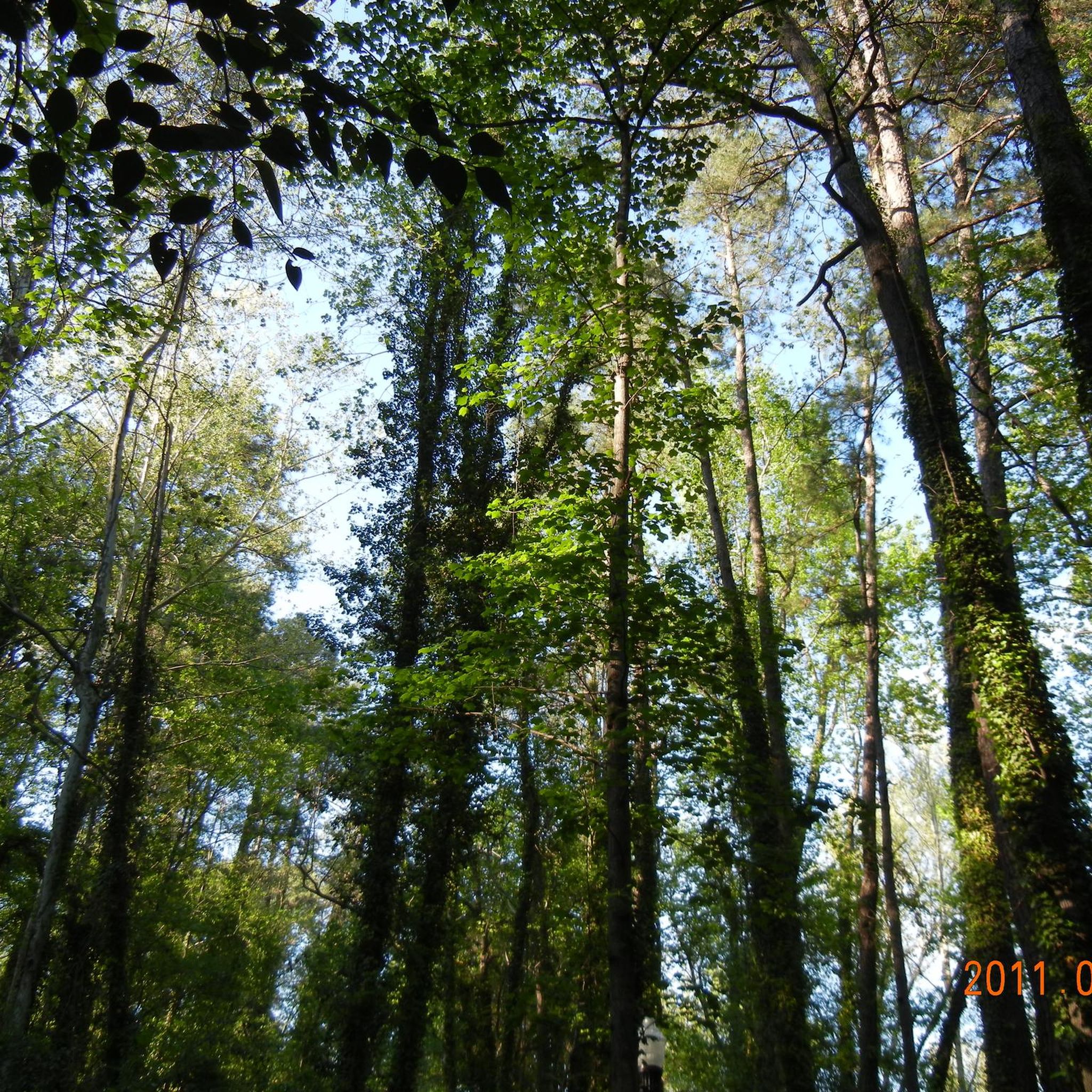
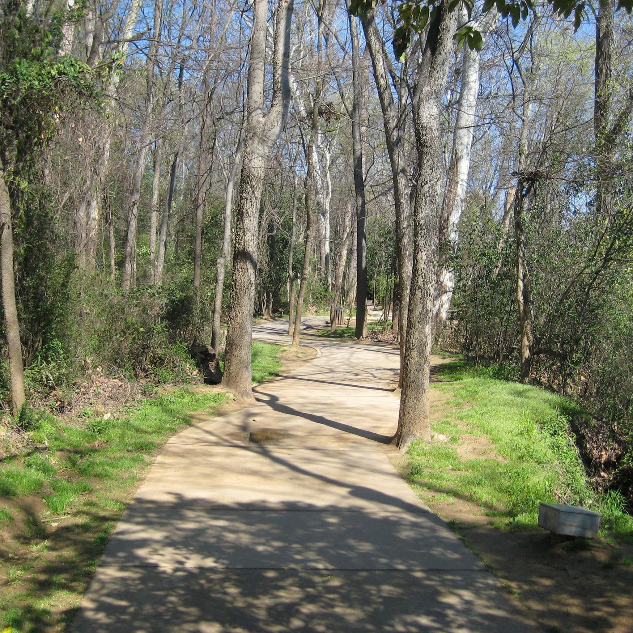
Tips from the Community

Named after the Siouan-speaking Congaree tribe, the river has echoed with human presence for millennia. Archaeological evidence paints a picture of thriving communities who fished, hunted, and traded along its banks.
0
0

West Columbia Riverwalk is open to walking, jogging and bicycling. West Columbia Riverwalk Park is along the path and is a unique venue that be rented for events, marriage ceremonies, concerts or theater events.
0
0

The Cayce Riverwalk is a beautiful section of the Congaree River. It is a great for walking, jogging, bicycling, bird-watching, picnicking and taking in the natural beauty of the riverfront. Be it on foot or bike, make sure to keep a beady eye out for the hand-carved wooden animal sculptures and the lion bench that was hand-wrought by local artists!
0
0
Gervais Street Bridge is a historic bridge listed on the National Register of Historic Places. It is a concrete arch bridge built in 1926. It was added to the National Register of Historic Places in 1980.
0
0
Lake Carolina is the fulcrum of a thriving community area filled with outdoor and recreational activities. There are 30 miles of winding bike and nature trails in the area as well as water activities.
0
0
This is the 10.2-mile (16.4 km) 'Capital City Passage' section of the far longer 500-miles (800km) Palmetto Trail. This is an easy urban section that goes through the city of Columbia from Riverfront Park to Fort Jackson. It passes by the South Carolina State Capitol and the Horseshoe of the University of South Carolina.
0
0

The Three Rivers Greenway is a pathway connecting the three cities of Columbia, West Columbia and Gayce. The name comes from the three rivers that meet here: Broad, Saluda, and Congaree River. The trail provides a mix of river views, woodlands and parks and it is a great destination for hiking, running and cycling.
0
0
Lake Carolina is the fulcrum of a thriving community area filled with outdoor and recreational activities. There are 30 miles of winding bike and nature trails in the area as well as water activities.
0
0
Frequently Asked Questions
Are there easy touring cycling routes suitable for beginners or families in Cayce?
Yes, Cayce offers many easy touring cycling routes perfect for beginners and families. Out of 20 available routes, 15 are rated as easy. A great option is the Palmetto Trail: Capital City Passage, which is 9.6 miles long and offers a well-maintained, flat path through green spaces.
What is the typical length of touring cycling routes in Cayce?
The touring cycling routes in Cayce vary in length. Many popular routes, like the Three Rivers Greenway, are around 11-12 miles, offering a pleasant ride. However, you can also find longer options, such as the Palmetto Trail: Capital City and Fort Jackson Loop, which extends to nearly 18.4 miles.
Where can I find parking near the touring cycling routes in Cayce?
Many of Cayce's greenways and riverwalks, which host the touring cycling routes, offer designated parking areas at their trailheads. For example, access points to the Three Rivers Greenway and Cayce Riverwalk typically have parking available. It's always a good idea to check specific trail information for the most convenient parking locations.
Are touring cycling routes in Cayce dog-friendly?
Generally, the multi-use paths and greenways in Cayce are dog-friendly, provided your dog is kept on a leash. These routes often follow riverfronts and through parks, making them suitable for cycling with a canine companion. Always ensure you clean up after your pet to keep the trails enjoyable for everyone.
What is the best season for touring cycling in Cayce?
The best seasons for touring cycling in Cayce are typically spring and fall. During these months, the weather is mild and pleasant, with comfortable temperatures and lower humidity. Summer can be quite hot and humid, while winters are generally mild, allowing for cycling on most days, though cooler temperatures might require extra layers.
What scenic views or attractions can I expect along the touring cycling routes in Cayce?
Cayce's touring cycling routes often follow riverfronts, offering picturesque views of the Congaree, Broad, and Saluda Rivers. You can also encounter various attractions, including the Saluda Riverwalk, sections of the Three Rivers Greenway, and the Cayce Riverwalk. Some routes may also pass near historical landmarks like the South Carolina State House.
Are there any circular touring cycling routes in Cayce?
Yes, Cayce offers several circular touring cycling routes. A popular loop is the Cayce Riverwalk – Timmerman Trail loop from Columbia, which covers 15.3 miles and takes you through riverfront parks and urban greenways, bringing you back to your starting point.
How many touring cycling routes are available in Cayce?
There are over 20 touring cycling routes available in the Cayce area. These routes cater to various skill levels, from easy riverfront rides to more challenging loops, ensuring there's something for every touring cyclist.
What do other touring cyclists enjoy the most about touring cycling in Cayce?
The komoot community highly rates touring cycling in Cayce, with an average score of 4.4 stars from over 10 reviews. Cyclists often praise the well-maintained greenways, the scenic riverside views, and the accessibility of the mostly flat terrain, making it enjoyable for a wide range of abilities.
Are there longer routes for experienced touring cyclists in Cayce?
For experienced touring cyclists seeking a longer challenge, Cayce does offer more extensive routes. The Lake Carolina via Hard Scrabble & Percival Road loop is a difficult 53-mile route that provides a significant distance and elevation gain, taking approximately 5 hours to complete.
Are there places to eat or rest along the touring cycling routes in Cayce?
Given that many routes follow urban greenways and riverwalks, you'll often find amenities such as benches for resting and access points to nearby neighborhoods with restaurants and cafes. For longer rides, it's advisable to carry water and snacks, but opportunities for refreshments are generally available close to the trails.
Most popular attractions around Cayce

Get inspired with the komoot mobile app


Explore more
Browse the best Cycling routes in other regions.
