The best walks and hikes around Gibraltar
4.5
(49)
329
hikers
53
hikes
Hiking around Gibraltar is centered on the Rock of Gibraltar, a monolithic limestone promontory. The majority of trails are located within the Gibraltar Nature Reserve, which covers over 40% of the territory. The terrain consists of steep, paved paths and rugged steps, often with significant elevation gain, passing through scrubland and wooded areas. These routes offer expansive views over the Strait of Gibraltar and the Mediterranean Sea.
Best hiking trails around Gibraltar
- The most popular hiking route is Birdsboro Waters Loop, a 3.6 miles (5.8 km) trail that takes 1 hour 38 minutes to complete. This route features a gentle climb through varied terrain.
- Another top favourite among local hikers is Green Loop, an easy 2.6 miles (4.3 km) path. The trail includes a moderate ascent and offers views of the surrounding landscape.
- Local hikers also love the Gibraltar Hill Trail, a 3.5 miles (5.6 km) trail leading through a forested area, often completed in about 1 hour 42 minutes.
- Hiking around Gibraltar is defined by its network of historic military paths, steep limestone steps, and routes with expansive views over the Strait of Gibraltar. The trail system offers options for various fitness levels, from short walks to more demanding climbs.
- The routes in Gibraltar are highly rated by the komoot community with an average score of 4.3 stars from more than 30 reviews. More than 200 hikers have used komoot to explore Gibraltar's varied terrain.
Last updated: October 29, 2026
4
hikers
5.76km
01:38
100m
180m
The Birdsboro Waters Loop is a fantastic choice for a relaxed outdoor experience, guiding you through a diverse landscape of lush forests and serene water features. As you hike, you'll pass by tall pine trees and interesting rock formations, with the tranquil Stinson Run Reservoir offering picturesque views. The terrain is generally easy, making it a pleasant walk for all skill levels, though you'll find some small hills and uneven sections that add to the natural feel of the path.
Planning your visit is straightforward, with convenient parking available at Rustic Park, which also connects to the Schuylkill River Trail for longer excursions. The Birdsboro Waters Loop is a multi-use trail, so expect to share the path with mountain bikers. It's a great option for family friendly hikes and is enjoyable throughout the year, though spring and autumn provide particularly beautiful scenery and comfortable temperatures.
What makes this area special are its diverse ecosystems, from pine-dominated woods to areas rich with ferns and Mountain Laurels, alongside geological interests like unique rock formations. The Birdsboro Waters Preserve also holds historical remnants, including old railroad timbers and abandoned buildings, adding a layer of intrigue to your hike. This easy 3.6-mile (5.8 km) loop, with its gentle 327 feet (100 metres) of elevation gain, can be completed in about 1 hour and 38 minutes, making it an accessible and rewarding option for a quick escape into nature.
5.0
(2)
4
hikers
5.58km
01:42
210m
160m
The Gibraltar Hill Trail in Pennsylvania offers a surprisingly rugged and rewarding hiking experience through dense oak-hickory woodlands. You'll find yourself on unimproved, often unmarked paths that quickly become rocky and steep, leading to a strenuous workout despite the trail's modest length. The highlight is undoubtedly the expansive vistas over Berks County, where you can gaze upon farmlands and the picturesque Schuylkill River valley from elevated viewpoints.
This 3.5-mile (5.6 km) route, with its 675 feet (206 metres) of elevation gain, is rated easy but feels more like a moderate challenge, taking around 1 hour and 42 minutes to complete. Given the trail's natural state, bring sturdy hiking boots and a downloaded map to navigate effectively. It's a great option for a quick, intense workout with a scenic payoff, but don't underestimate its

2
hikers
4.26km
01:17
170m
80m
The Green Loop offers a pleasant escape into nature, winding through diverse scenery that often includes mixed forests and even wetlands. You'll experience a journey where the terrain changes from smooth paths to potentially rootier sections, providing a varied but generally easy hiking experience. Keep an eye out for the Witch's Hat Pavilion, a distinctive feature along the route, as you enjoy the natural surroundings.
Planning your visit to the Green Loop is straightforward, as many trails of this type are well-maintained and feature accessible trailheads. While specific parking details aren't always available, you can usually find convenient access points. Visiting in the spring or fall often provides the most comfortable temperatures and vibrant scenery, making it the best season for Green Loop hiking.
This trail is a great option for those seeking easy Green Loop trails for beginners or a family-friendly Green Loop hike. It provides a balanced experience, showcasing diverse ecosystems from forests to meadows, and sometimes offers scenic overlooks. The route's accessibility and varied natural beauty make it a notable choice for a quick outdoor adventure in the Mount Penn area.
2.76km
00:47
60m
50m
The Birdsboro Quarry and Trap Rock hiking trails offer a fascinating blend of industrial heritage and natural beauty, making for a truly distinctive outing. You'll traverse varied terrain, from old service roads to forest paths, passing impressive quarry walls and following Hay Creek. The highlight for many is the secluded Birdsboro Reservoir, a serene, evergreen-lined lake that feels like a hidden gem, providing a peaceful contrast to the dramatic rock formations.
This easy 1.7-mile (2.8 km) hike, with a modest 212 feet (65 metres) of elevation gain, typically takes around 47 minutes to complete. It's a great option for those seeking a unique experience without a long commitment, and the Birdsboro Preserve family friendly dog friendly trails make it accessible for many. Be aware of the steel cable tightrope creek crossing over Hay Creek, a fun challenge, but a bypass route is available if you prefer.
What truly sets this route apart are the Birdsboro Quarry notable features, including its past as an active quarry and its current status as a significant rock climbing destination. You might even see climbers scaling the dramatic rock faces. This historical context, combined with the diverse scenery and the engaging cable crossing, makes it a memorable hike in eastern Pennsylvania.
16.1km
04:06
40m
60m
Embark on the Schuylkill River Trail: Thun Section, a moderate hiking route that stretches for 10.0 miles (16.1 km). You will experience diverse landscapes, from peaceful wooded areas to open farmlands, all while enjoying impressive views of the Schuylkill River and its surrounding hills. The path offers a gentle challenge, with an elevation gain of 147 feet (45 metres) over its course. Keep an eye out for the historic railroad bridges, many dating back to 1918, which provide picturesque vantage points over the river. This hike is estimated to take around 4 hours and 5 minutes to complete, offering a rewarding outdoor experience.
When planning your visit, you will find parking generally available at various access points along the trail. Be aware that certain sections of the route include on-road portions where you may encounter vehicles, so stay alert. There is also a steep approach to a road crossing at Route 724 near Monacacy Station that requires extra caution. It's always a good idea to check local conditions before heading out, especially regarding any potential seasonal changes. This trail is accessible for much of the year, making it a flexible option for your hiking plans.
This section of the Schuylkill River Trail is a significant part of the Schuylkill River Greenways National Heritage Area. It beautifully blends natural beauty with the region's rich industrial history. As you hike, you will not only enjoy the scenic river views but also gain a glimpse into the past through the old railroad infrastructure. The trail offers a unique opportunity to connect with both nature and the historical narrative of the area.
Get access to more routes and recommendations from other explorers.
Already have an account?
Our route recommendations are based on thousands of hikes, rides, and runs completed by other people on komoot.
Start today with a free account
Your next adventure awaits.


Tips from the Community

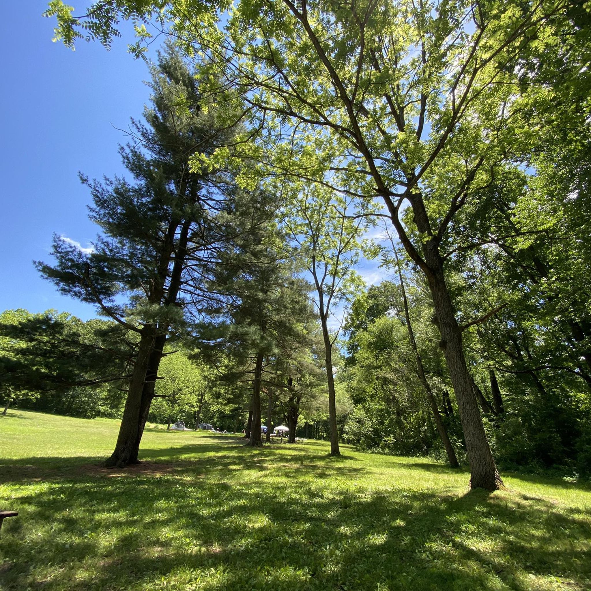
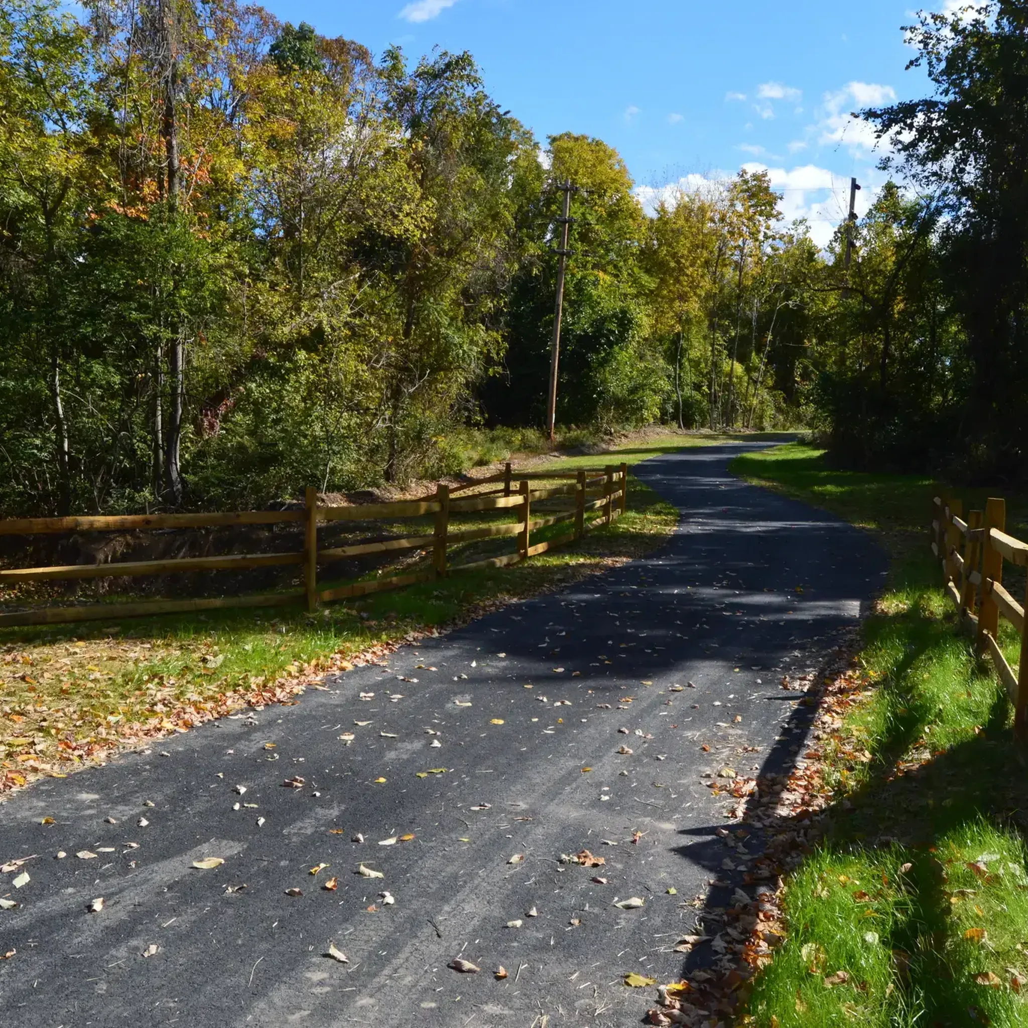
Access and parking for the Schuylkill River Trail. There are shelters and benches on the site as well, so it is a great place to stop for a break while biking the path. The park is on the banks of the Schuylkill River, so it also gives great views of the river and has a wonderful pedestrian bridge over the river.
0
0

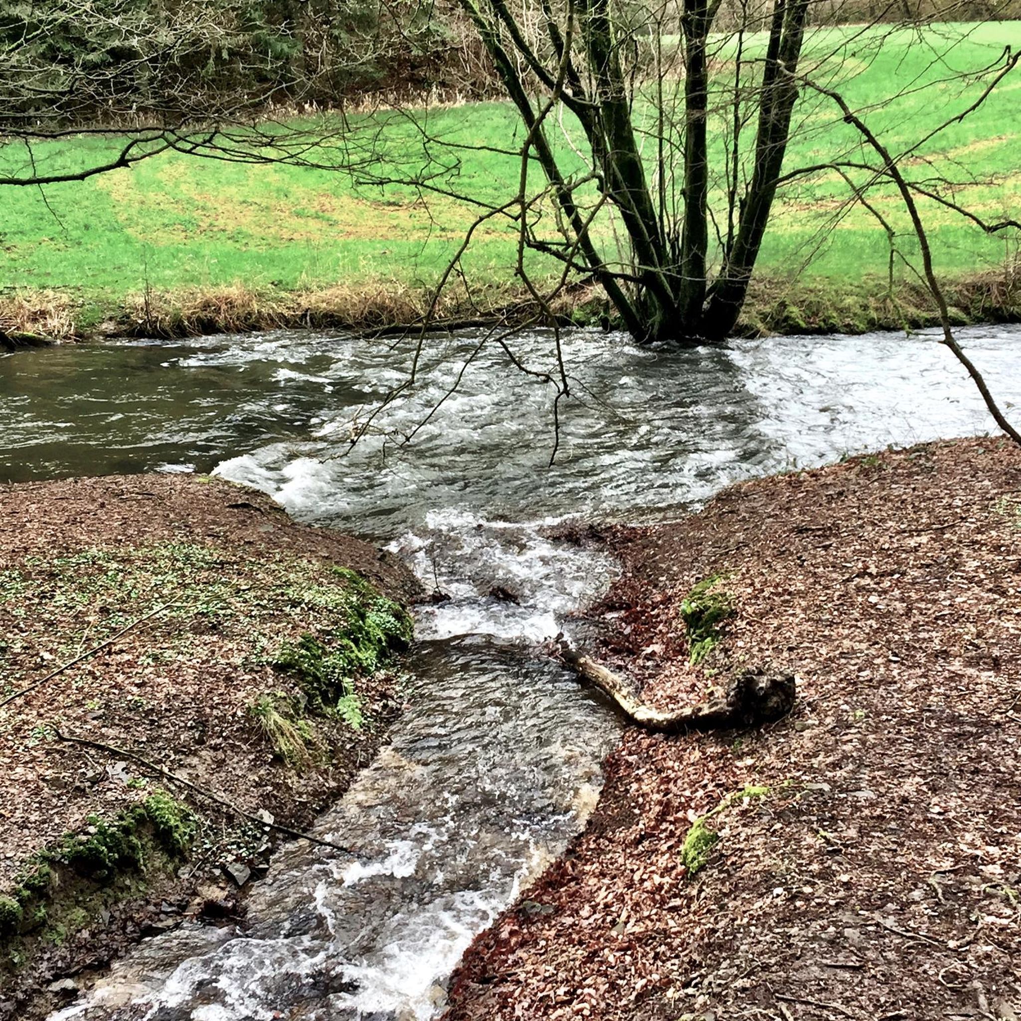
This lake provides a very peaceful spot to take a break and absorb the scenery. The water's unique green tint is stunning, especially with the trees reflecting off its surface.
2
0

Neversink Mountain Preserve is one of several preserves that border the city of Reading. The park has miles of hiking and running trails, a pavilion, restrooms and picnic areas.
0
1
Access and parking for the Schuylkill River Trail. There are shelters and benches on the site as well, so it is a great place to stop for a break while biking the path. The park is on the banks of the Schuylkill River, so it also gives great views of the river and has a wonderful pedestrian bridge over the river.
0
0
Frequently Asked Questions
How difficult is hiking in Gibraltar?
Gibraltar offers a range of trails, but many involve steep climbs on paved paths or rugged steps. The most famous route, the Mediterranean Steps, is a strenuous and challenging climb up the eastern face of the Rock, recommended only for experienced hikers with a head for heights. However, there are also more moderate options, such as the Upper Glen Trail loop, which offers a gentler experience through wooded areas.
Are there any family-friendly or beginner hikes in Gibraltar?
Yes, while many trails are steep, there are easier options suitable for families and beginners. The Nolde Forest State Park loop is a relatively short and easy walk through a forested park. For a scenic and mostly flat walk, consider the Exeter Scenic River Trail along the river. Always check the elevation profile before you start.
What is the best time of year to hike in Gibraltar?
The best times to hike in Gibraltar are during the spring (March to May) and autumn (September to November). During these months, the weather is pleasantly warm and the vegetation is at its most vibrant. Summer can be very hot, especially on exposed trails, making early morning hikes the only viable option. Winter is cooler and can be wet, so be sure to pack appropriate waterproof gear.
Do I need a ticket to hike in the Gibraltar Nature Reserve?
Yes, access to the Upper Rock, where most of the hiking trails are located, requires a ticket for the Gibraltar Nature Reserve. This ticket also grants you access to attractions like the Skywalk, Windsor Suspension Bridge, and St. Michael's Cave. It's best to check the official Gibraltar Nature Reserve website for the most current pricing and information before your visit.
What should I know about the Barbary macaques on the Rock?
The Barbary macaques are a famous feature of the Upper Rock, but they are wild animals. Do not feed them, as it is illegal and encourages aggressive behavior. Keep your distance and secure all your belongings, especially food, in a zipped backpack. They are known to snatch plastic bags, so avoid carrying them. Enjoy watching them from a safe distance.
Are the hiking trails in Gibraltar safe?
The trails are generally well-maintained, but many are steep, narrow, and exposed with sheer drops. It is crucial to wear sturdy hiking shoes with good grip. Stay on the marked paths, be aware of your surroundings, and carry plenty of water, especially in warm weather. The Mediterranean Steps, in particular, should not be attempted in high winds or wet conditions due to the risk of slipping.
Can I combine a hike with a visit to St. Michael's Cave?
Absolutely. St. Michael's Cave is a very popular attraction located within the Upper Rock Nature Reserve and is easily accessible from the main trails. Your Nature Reserve ticket includes entry to the cave. Many hiking routes pass directly by the entrance, making it a perfect stop to cool down and see the impressive limestone formations.
What are some of the best viewpoints for photos?
Gibraltar is full of incredible viewpoints. The Skywalk is a top-rated glass viewing platform offering stunning 360-degree views. The summit of the Rock at O'Hara's Battery provides panoramic vistas across the Strait to Africa. For a unique perspective of the Mediterranean Sea, the challenging Mediterranean Steps trail offers jaw-dropping coastal views along its entire length.
Are there any circular hiking routes?
Yes, there are several excellent circular routes. The Neversink North & South Trail loop is a popular moderate hike that takes you on a steady climb up and around a prominent local hill. Many of the trails on the Rock can also be linked together to form a loop, allowing you to start and end at the same point.
What kind of wildlife can I see besides the monkeys?
The Gibraltar Nature Reserve is a haven for biodiversity, especially birdlife. It's a key migration point for raptors soaring between Europe and Africa. You might also spot Barbary partridges, various native plants, and numerous lizard species. The Inglis Way trail is particularly noted for traversing through some of the richest areas of flora and fauna on the Rock.
Are there any trails that focus on Gibraltar's military history?
Yes, many trails pass by historical military installations. The Royal Anglian Way takes you past old cook-houses and the impressive Rooke Battery. The Douglas Path follows the upper ridge of the Rock, offering glimpses of former military positions and sentinel posts. You will also encounter numerous tunnels and batteries dotted across the trail network.
What do other hikers say about the trails in Gibraltar?
The hiking routes in Gibraltar are highly regarded by the komoot community, with an average rating of 4.3 stars. Reviewers frequently praise the incredible panoramic views over the sea and towards Africa, the unique experience of hiking alongside the Barbary macaques, and the well-preserved historical sites scattered along the paths.
Most popular attractions around Gibraltar

Get inspired with the komoot mobile app


Explore more
Browse the best Hikes in other regions.
