The best walks and hikes around Bad Salzdetfurth
4.5
(1763)
6,478
hikers
365
hikes
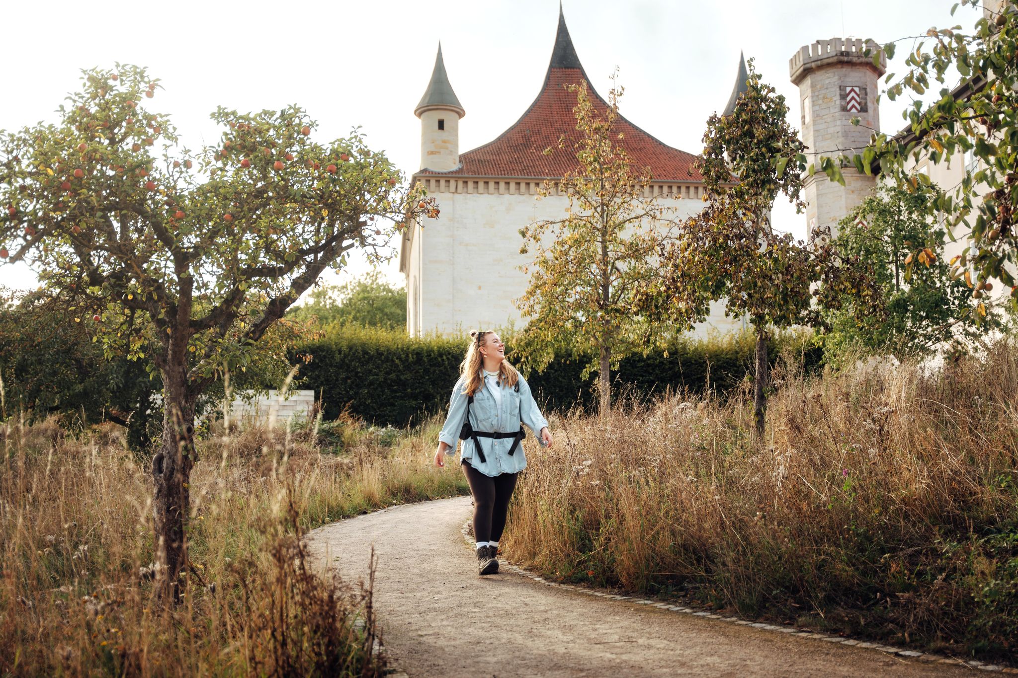
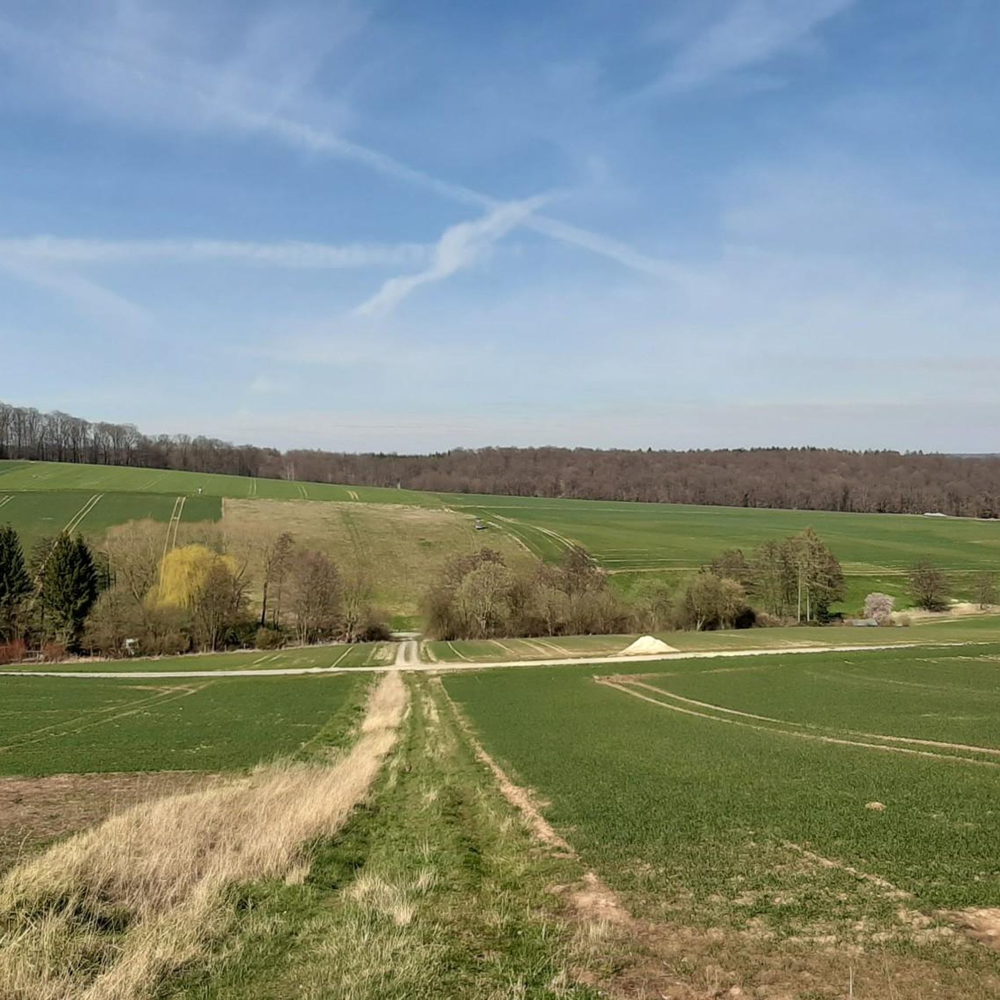
Hiking around Bad Salzdetfurth offers access to the diverse landscapes of the Hildesheim Forest, characterized by rolling hills, extensive woodlands, and picturesque valleys. The town is situated within the Lamme valley, providing immediate access to trails that lead through deciduous and coniferous forests. Elevated points in the region offer views into the Lamme and Innerste valleys, with some extending towards the Harz Mountains.
Best hiking trails around Bad Salzdetfurth
- The most popular hiking route is Bünte loop (R3) – rich…
Last updated: September 30, 2026
4.4
(24)
84
hikers
9.73km
02:43
190m
190m
Moderate hike. Good fitness required. Easily-accessible paths. Suitable for all skill levels.
4.6
(9)
27
hikers
4.38km
01:14
90m
90m
Easy hike. Great for any fitness level. Easily-accessible paths. Suitable for all skill levels.

4.9
(58)
139
hikers
Easy hike. Great for any fitness level. Easily-accessible paths. Suitable for all skill levels.
4.5
(42)
151
hikers
Moderate hike. Good fitness required. Easily-accessible paths. Suitable for all skill levels.
4.9
(56)
141
hikers
Easy hike. Great for any fitness level. Easily-accessible paths. Suitable for all skill levels.
Get access to more routes and recommendations from other explorers.
Already have an account?
Our route recommendations are based on thousands of hikes, rides, and runs completed by other people on komoot.
Start today with a free account
Your next adventure awaits.
Other adventures around Bad Salzdetfurth

Tips from the Community

The Innerste is a right tributary of the Leine in Lower Saxony, approximately 97 km long. Key Data & Geography Source: The Innerste-Sprung southeast of Clausthal-Zellerfeld in the Upper Harz (at approx. 605 m above sea level). Mouth: Flows into the Leine near Ruthe (town of Sarstedt, district of Hildesheim) at an altitude of about 58 m. Elevation difference: Approx. 547 meters. Catchment area: Approx. 1,265 km². Course & Places River course: Originates in the Upper Harz, flows northwest through the Harz foreland and the Hildesheim Börde, and finally flows into the Leine south of Hanover. Important riparian communities: Wildemann, Lautenthal, Langelsheim, Salzgitter (Ringelheim), Baddeckenstedt, Holle, Bad Salzdetfurth (district Groß Düngen), Hildesheim, and Sarstedt. Important tributaries: Grane, Neile, Nette, Lamme, and Beuster. Usage & Special Features Innerste Valley Dam: Between Lautenthal and Langelsheim, the river is dammed in the Upper Harz. The dam serves for flood protection, low water augmentation, power generation, and as a local recreation area (water sports, fishing). Heavy metal pollution: Due to historical mining in the Harz, the Innerste carries dissolved heavy metals (e.g., lead, zinc, cadmium) to this day, which places special demands on soil and floodplain protection along the lower course. Leisure & Nature: The valley offers popular routes such as the Innerste Cycle Path (from the Harz to the mouth), hiking trails in nature reserves (e.g., Mittleres Innerstetal), and sections for canoe sports (including a whitewater course in Hildesheim).
0
0

The trail is still easily walkable here, further west it is no longer passable.
1
0
Due to tree felling, wide view to the north
0
0
Innersteradweg but also for pedestrians. Very nice with the newly built footbridge with platform over the Innerste, further towards Listringen there is also a nicely located bench with a view of the Innerste between 2 fir trees. In total there are 2 benches between Heinde and Listringen along the Innersteradweg. If necessary, you can also sit on the concrete blocks of the Maschbrücke. Very nice place to enjoy the river landscape in the Innerstetal.
1
0
Nice bench mostly in the shade directly on the Innerste between Listringen and Heinde upstream.
1
0
The former railway bridge, also known as Maschbrücke, is used in many ways. Often as a viewpoint overlooking the Innerste river, or by young people who like to use the bridge as a diving platform to cool off. Hikers and walkers can easily cross between the riverbanks here.
0
0
The bridge with the viewing platform on the Innerste near Heinde (municipality of Bad Salzdetfurth) is part of the upgraded Innerste cycle path between Heinde and Hockeln. Function & Structure: The wooden or plastic plank path leads dryly through a damp hollow in the river valley directly to the riverbed and ends in an integrated viewing platform over the water. Purpose: It serves as a connecting link for the cycle and hiking path and offers a protected view of the nature reserve and the floodplain landscape of the Middle Innerste Valley.
1
0
The Lindenhütte on the Lindenallee is a wooden shelter and rest stop for hikers and cyclists at the end of the historic Lindenallee near Heinde (a district of Bad Salzdetfurth). Important details: Function: Serves as a covered resting place with seating along various hiking and cycling trails in the Innerstetal. Environment: Located on the edge of the protected landscape area near the Innerste river, ideal for tours around Hildesheim and Bad Salzdetfurth.
1
0
Frequently Asked Questions
How many hiking trails are available in Bad Salzdetfurth?
Bad Salzdetfurth offers a comprehensive network of over 360 hiking routes. These trails cater to various fitness levels, ranging from easy strolls through the town's surroundings to more challenging moderate routes through the Hildesheim Forest.
Are there easy hiking options suitable for families or beginners?
Yes, Bad Salzdetfurth is very welcoming for families and beginners. Nearly 200 of the available routes are classified as easy. An excellent option is the Burgberg loop (R6) – close to the town, which is an easy 4.4 km path leading through the town's surroundings and into nearby woods.
Are there any circular hiking trails in the area?
Absolutely. The region around Bad Salzdetfurth is known for its well-marked circular hiking trails. Beyond the long-distance Sölter-Weg, there are ten other dedicated circular routes ranging from three to thirteen kilometers. The Bünte loop (R3) – rich in contrast is a popular 9.7 km circular trail offering varied scenery.
What kind of natural landscapes can I expect to see while hiking?
Hiking in Bad Salzdetfurth immerses you in the diverse landscapes of the Hildesheim Forest. You'll encounter rolling hills, lush deciduous and coniferous forests, and picturesque valleys. Many trails offer beautiful views into the Lamme and Innerste valleys, and from elevated points like the Hammersteinshöhe, you can even catch glimpses of the Harz Mountains on clear days.
Are there any notable viewpoints or landmarks along the trails?
Yes, the region boasts several points of interest. The Hammersteinshöhe (317m) on the Saubergshöhen Hut – Wesselner North Slope Trail loop offers magnificent views towards Hildesheim and the Harz. You can also visit the historic Fishermen's Houses Derneburg, the Apenteich Spring, or explore the unique Ascent Through the Wolfsschlucht.
What do other hikers enjoy most about the trails in Bad Salzdetfurth?
The trails in Bad Salzdetfurth are highly regarded by the komoot community, with an average rating of 4.5 stars from over 1,300 reviews. Hikers frequently praise the varied terrain, the well-maintained paths, and the accessibility of the extensive woodlands directly from the town center. The mix of forest, valley views, and charming spa town elements is often highlighted.
Are there any longer, multi-stage hiking routes available?
Yes, the Sölter-Weg is a prominent 44-kilometer long-distance historical trail that traverses the varied landscape around Bad Salzdetfurth. It can be walked as a whole or conveniently broken down into four stages, with train connections available for return trips from certain points.
Can I reach hiking trailheads using public transport?
Many trails in Bad Salzdetfurth are easily accessible, with numerous routes beginning near the Kulturbahnhof, which serves as a central starting point. The Sölter-Weg, a longer trail, also offers convenient train connections for hikers completing individual stages.
Are there any unique attractions in Bad Salzdetfurth itself that I can combine with a hike?
Absolutely. Bad Salzdetfurth is a charming spa town. You can visit the over 260-year-old Graduation Towers in the spa park, known for their beneficial salty air. The town also features well-preserved half-timbered houses from the 17th and 18th centuries, and the landscaped park of Bodenburg Castle is open to the public.
Are there any gorges or interesting geological features to explore?
Yes, the region offers some interesting geological features. The 'Wolfsschlucht' (Wolf's Gorge) is a notable natural feature, and a section of the 'Im Maiental' (R0) trail passes through it. You can also find an Old quarry in the forest, which adds to the varied landscape.
What is the best time of year for hiking in Bad Salzdetfurth?
Bad Salzdetfurth offers enjoyable hiking experiences throughout much of the year. The rolling hills and extensive forests are particularly beautiful in spring with blooming flora, vibrant in autumn with changing leaves, and pleasant during the summer months. Even in winter, the wooded trails can offer serene walks, though conditions may vary.
Most popular routes around Bad Salzdetfurth
Most popular attractions around Bad Salzdetfurth

Get inspired with the komoot mobile app


Explore more
Browse the best Hikes in other regions.
