The best cycling routes around Eagleville
4.7
(91)
1,093
riders
40
rides
Touring cycling around Eagleville, Pennsylvania, offers access to a network of scenic trails, including the Schuylkill River Trail and the Perkiomen Trail. The region features diverse terrain, from flat, paved paths along rivers to routes with moderate elevation changes. Landscapes include rural farmlands, wooded areas, and riverside paths, often built over abandoned railroad lines. These features provide varied touring cycling experiences.
Best touring cycling routes around Eagleville
- The most popular touring cycling route is View from Sullivan's Bridge – Schuylkill…
Last updated: October 29, 2026
4.8
(11)
138
riders
50.4km
02:59
160m
160m
Moderate bike ride. Good fitness required. Mostly paved surfaces.
5.0
(1)
54
riders
Easy bike ride. Mostly paved surfaces.

4.8
(5)
52
riders
Moderate bike ride. Good fitness required. Mostly paved surfaces.
4.5
(2)
29
riders
Easy bike ride. Mostly paved surfaces.
25
riders
15.3km
00:58
70m
70m
Easy bike ride. Mostly paved surfaces.
Get access to more routes and recommendations from other explorers.
Already have an account?
Our route recommendations are based on thousands of hikes, rides, and runs completed by other people on komoot.
Start today with a free account
Your next adventure awaits.



Tips from the Community

The Schuylkill Center for Environmental Education is a 365-acre park with over three miles of trails. The space is known for its environmentally-focused art installations and ecological restoration efforts.
0
0

This is a perfect spot to access the Schuylkill River Trail. At this trailhead, you'll find a dog park and a picnic area—an excellent place to start your journey or turn around and head back.
1
0

This memorial arch was deliberately designed to resemble a simplified version of the Arch of Titus in Rome, Italy; it commemorates the arrival of George Washington and his Continental Army to Valley Forge.
0
0

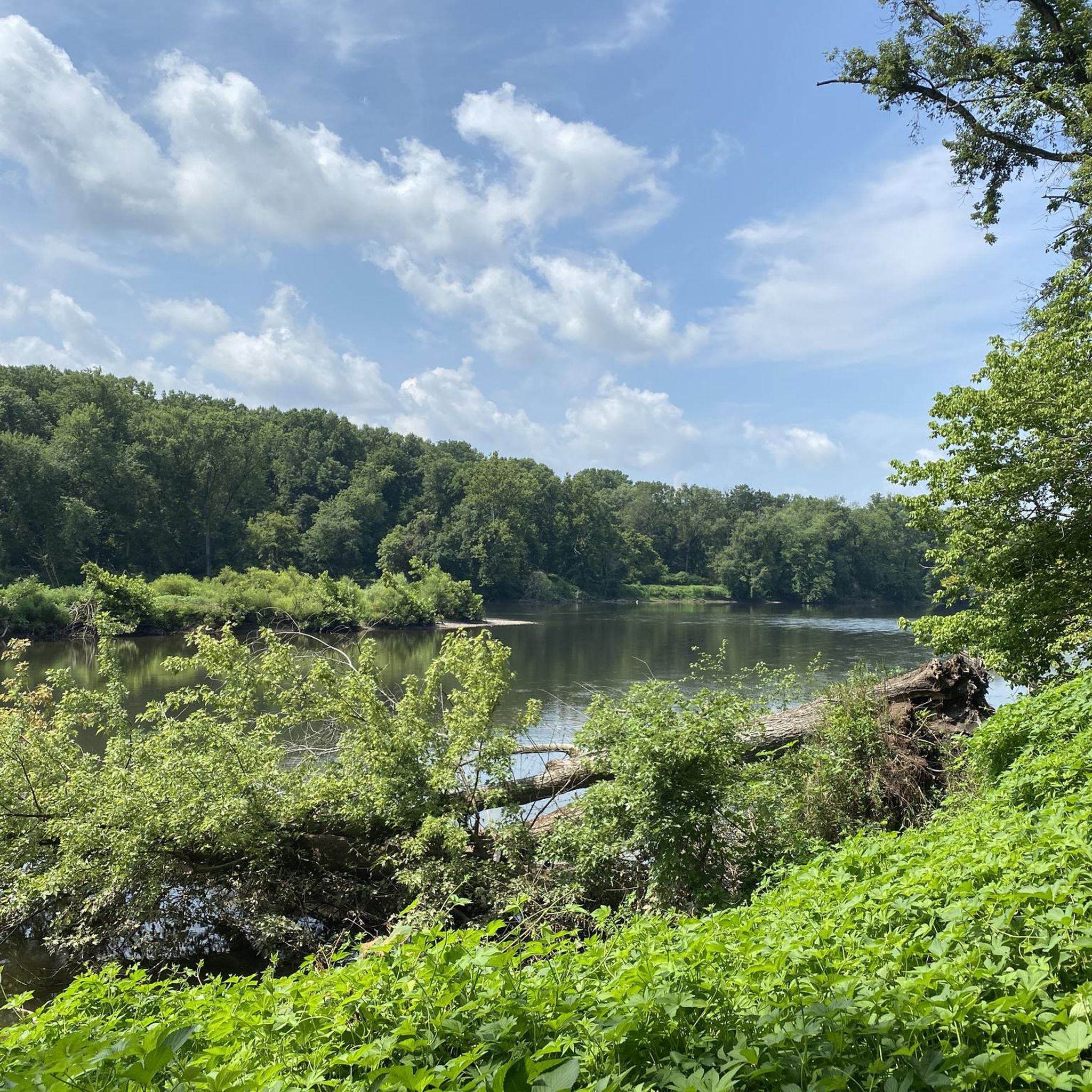
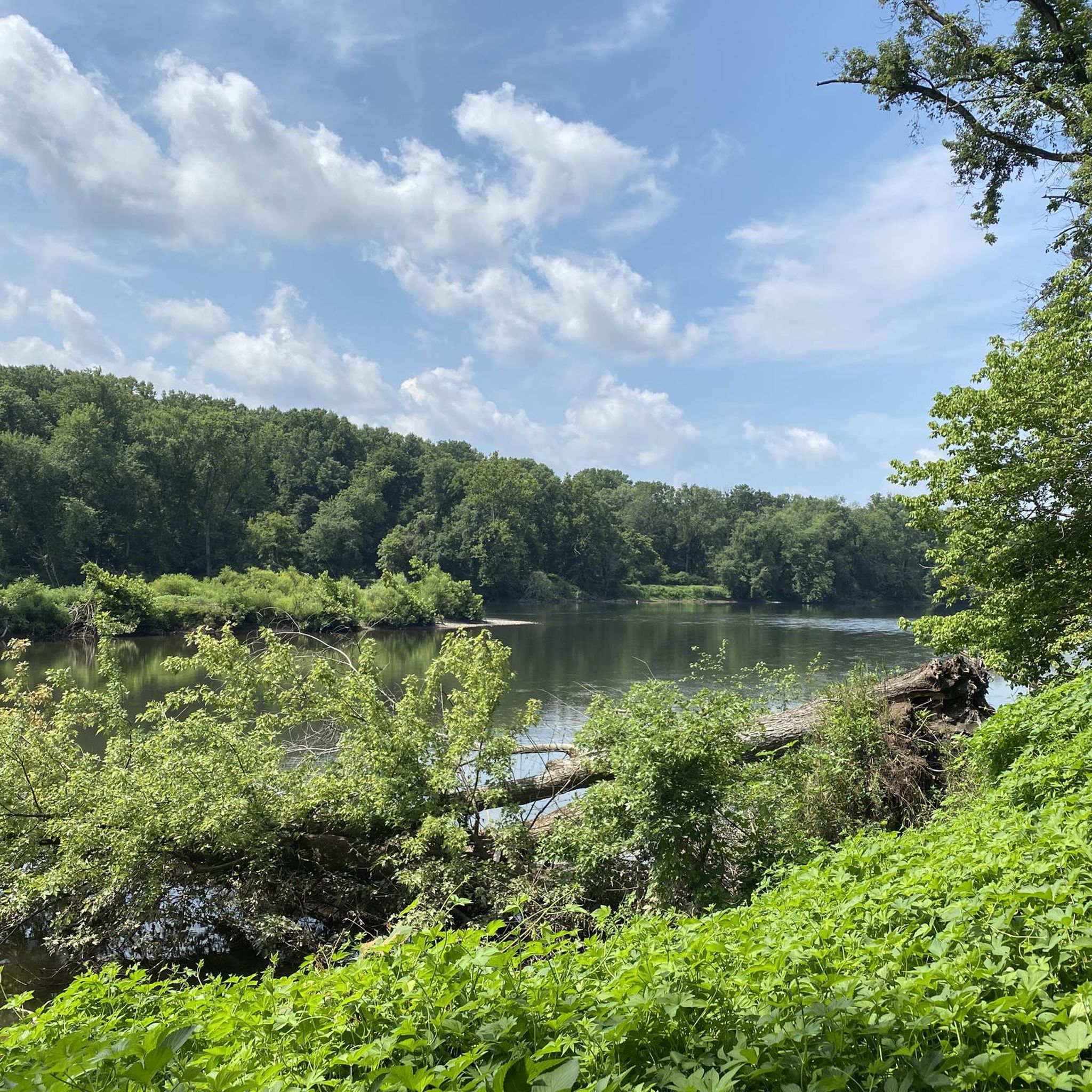
The Schuylkill River Trail, a multi-use path extending from Frackville in Schuylkill County through Montgomery, Chester, and Berks counties to Philadelphia, traverses the historically rich southeastern Pennsylvania region. The trail winds through rural, agricultural, suburban, urban, and industrial areas. It is a rail trail with over 75 miles of the trail being paved or surfaced with crushed stone and open to the public. Managed and developed by the Schuylkill River Trail Partners, there are ongoing plans to extend the trail.
0
0

The Lower Perkiomen Valley Park is a 107 acre park in Upper Providence Township. From the park, there is access to the Perkiomen Trail, great views of the Perkiomen Creek and several nature trails.
0
0
The Perkiomen Trail is a 20-mile-long trail that follows the Perkiomen Creek. It is popular with cyclists, hikers and runners. The surface is mostly crushed stone, but there are some paved sections.
0
0
Battle of the Clouds Park is the spot of a planned battle where the British would attempt to advance on Philadelphia during the American Revolutionary War, but was called off due to bad weather. Now, the park has a small memorial, picnic areas and a children's playground.
0
0
The Chester Valley Trail is an almost 19-mile rail trail that runs from King of Prussia to Exton. It is fully paved and mostly flat, so it is not a challenging path to hike.
1
0
Frequently Asked Questions
How many touring cycling routes are available around Eagleville?
There are over 35 touring cycling routes around Eagleville, offering a variety of experiences for different skill levels. You'll find 17 easy routes, 15 moderate routes, and 4 more challenging options.
What kind of terrain can I expect on Eagleville's touring cycling routes?
The region offers diverse terrain. You'll find relatively flat, paved paths along major trails like the Schuylkill River Trail, as well as routes with moderate elevation changes, particularly around areas like Collegeville. Surfaces can vary from paved to crushed stone, making hybrid or mountain bikes suitable for some sections, though many paved portions are accessible for road cyclists.
Are there touring cycling routes suitable for beginners in Eagleville?
Yes, Eagleville offers 17 easy touring cycling routes. These often utilize the flatter, paved sections of trails like the Schuylkill River Trail, providing a comfortable experience for those new to touring cycling. An example is the View from Sullivan's Bridge – Schuylkill River Trail loop from Washington Memorial Chapel, an easy 17.0-mile path.
What historical sites or landmarks can I see while touring cycling near Eagleville?
Many routes pass by significant historical sites. For instance, the View from Sullivan's Bridge – National Memorial Arch loop from Tredyffrin Township Open Space takes you near the National Memorial Arch in Valley Forge National Historical Park. Along the Perkiomen Trail, you can access sites like the John James Audubon Center at Mill Grove and Pennypacker Mills. The Schuylkill River Trail also offers glimpses of 19th-century canal locks and ruins.
Are the touring cycling trails around Eagleville family-friendly?
Yes, many sections of the major trails, such as the Schuylkill River Trail and Perkiomen Trail, are very family-friendly. They offer mostly flat, multi-use paths with numerous access points, restrooms, and water stops. The paved sections are particularly suitable for families with children.
Can I bring my dog on the touring cycling trails?
Generally, dogs are welcome on a leash on the multi-use trails like the Schuylkill River Trail and Perkiomen Trail. However, it's always best to check specific park regulations for any areas you plan to visit, as rules can vary slightly within different park sections.
What are some of the longer touring cycling routes available?
For a longer ride, consider the View from Sullivan's Bridge – Schuylkill River Trail loop from Audubon, which is 31.2 miles (50.3 km) and takes nearly 3 hours to complete. Another option is the View from Sullivan's Bridge – Chester Valley Trail loop from Tredyffrin Township Open Space, covering 30.2 miles (48.6 km).
What do other touring cyclists enjoy the most about touring cycling in Eagleville?
The area is highly rated by the komoot community, with an average score of 4.7 stars from 50 reviews. Reviewers often praise the well-maintained multi-use trails, the scenic riverside paths, and the variety of routes that cater to different ability levels, from easy, paved sections to more moderate routes with some elevation gain.
Where can I park when visiting the touring cycling trails?
The major trails like the Schuylkill River Trail and Perkiomen Trail have numerous access points with designated parking areas along their lengths. These are often located near trailheads or parks, providing convenient starting points for your ride.
Is public transport available to access the touring cycling routes?
While direct public transport access to all trailheads might be limited, some sections of the Schuylkill River Trail, especially closer to more populated areas, may be accessible via regional public transport options. It's advisable to check local transit schedules and routes for specific access points.
Are there any circular touring cycling routes in Eagleville?
Yes, many of the touring cycling routes around Eagleville are designed as loops, allowing you to start and end at the same point. An example is the View from Sullivan's Bridge – General Wayne Statue loop from West Norriton Township, a 17.9-mile trail that offers varied terrain.
What is the best time of year to go touring cycling in Eagleville?
Spring and fall generally offer the most pleasant conditions for touring cycling in Eagleville, with mild temperatures and beautiful scenery. Summer can be enjoyable, but be prepared for warmer weather. Winter cycling is possible, but some sections might be less maintained or have icy patches, depending on conditions.
Most popular attractions around Eagleville

Get inspired with the komoot mobile app


Explore more
Browse the best Cycling routes in other regions.
