The best road cycling routes around Liberty
4.9
(6)
608
riders
5
rides
Road cycling routes around Liberty often traverse river valleys and incorporate sections of converted rail trails, providing varied terrain for cyclists. The region features a mix of urban parkland and more open stretches, with some routes offering notable elevation changes. Cyclists can expect to encounter a landscape shaped by waterways and historical industrial areas, now often repurposed for recreational use. The terrain includes both flat, paved paths and routes with significant climbs.
Best road cycling routes around Liberty
- The most…
Last updated: November 2, 2026
5.0
(2)
226
riders
61.2km
02:56
340m
340m
Moderate road ride. Good fitness required. Mostly well-paved surfaces and easy to ride.
4.5
(2)
200
riders
101km
05:19
820m
820m
Hard road ride. Very good fitness required. Some segments of this route may be unpaved and difficult to ride.

5.0
(1)
120
riders
56.6km
02:46
410m
410m
Moderate road ride. Good fitness required. Some segments of this route may be unpaved and difficult to ride.
2
riders
22.0km
01:27
290m
290m
Moderate road ride. Some segments of this route may be unpaved and difficult to ride.
Our route recommendations are based on thousands of hikes, rides, and runs completed by other people on komoot.
Start today with a free account
Your next adventure awaits.



Tips from the Community

Color park is really pretty butt getting to it from the point is a little rough with the brick roads.
0
0

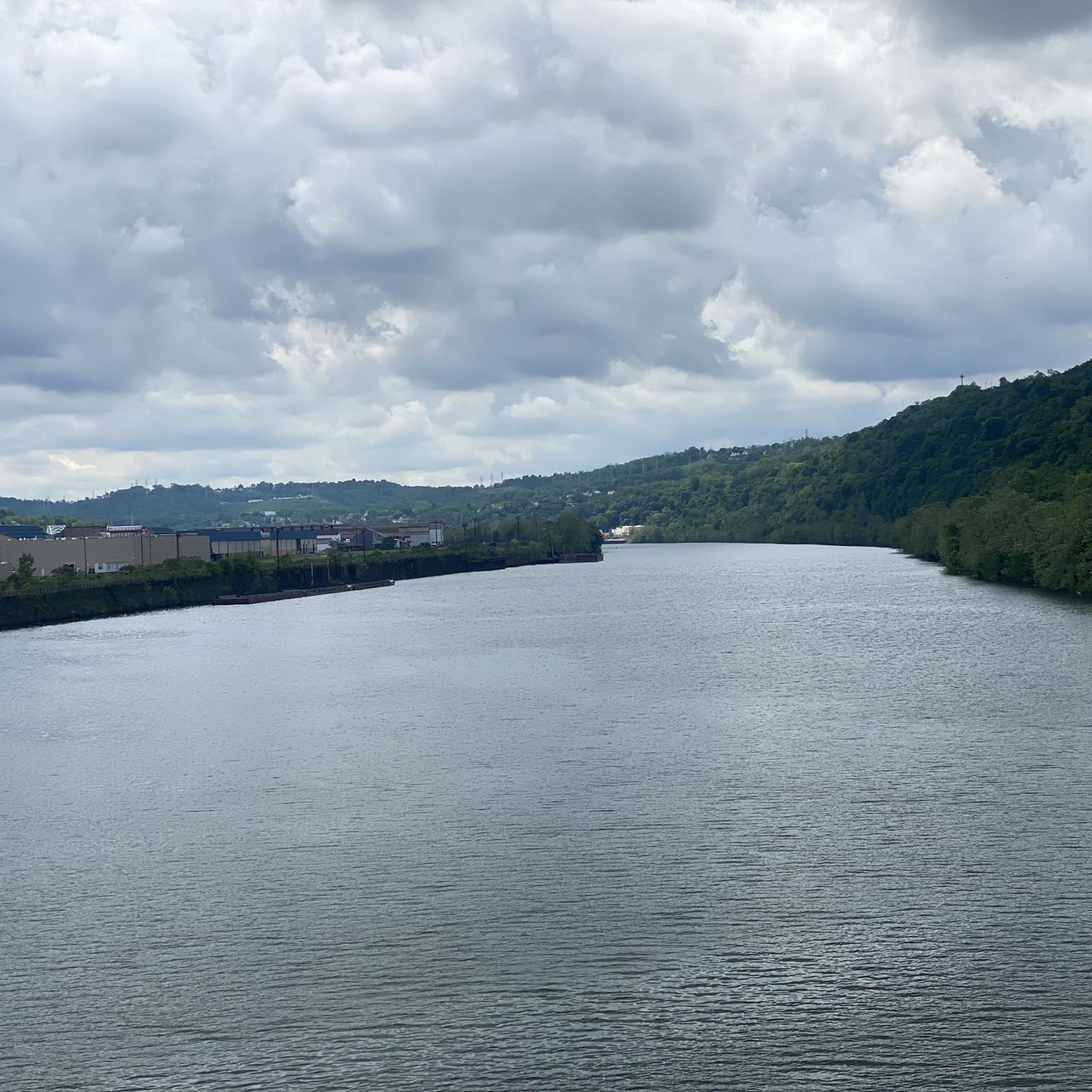
Great ride along the river with several places to pull off and enjoy the view.
0
0

This is a good place to take a break on a hot day, as the waterfall produces cold wind. DO NOT DRINK this water, It is from an acid mine and the red-orange color comes from iron and rust.
1
0
If You need water, don't count on public water fountains in Pittsburgh because they barely ever get turned on.
1
0
This is where the Allegheny River and the Monongahela River meat to form the Ohio River.
1
0

S THE WATERFALL Demonstrating acid mnine drainage The water here is acid and iron-rich, coming up to the surface from underground mines, stairung the-rocks ruspred. Acid mine drainage (AMID) is a major source of water pollution. Cause of extensive stream environmental damage. The Ocean Coal Company, a subsidiaries of Bevind- White Coal Company Philadelphia, PA, esaiblished several mines in this region including, in 1900, Ocean No. 2. It is purported that drainage from ocean No. 2 is the chief cause of the Red Waterfall Why is it acidic and full of iron? Hundreds of millions of years ago, the massive Pittsburgh Coal Seam formed underneath parts of Pennsylvania, West Virginia, and Ohiờ from ancient swamp plants. Sand, silts, shells, and other -matter were deposited and made a rock seal over the carbon-rich vegetation, This rock contained the mineral "pyrite," made of iron and sulfur Coal mining exposes pyrite to oxygen and ground water causing the formation of sulfuric acid and a number of red, orange, and yellow compound s. AMD occurs when this mine water seeps, or in this-case, bursts out into Streams. The yellow sulfur can be seen in the shale near coal seams. GRESCHIN DASSAGE SPONSORED BY: Southwestern PA Heritage Breservation- Commission Allegheny Trail Alliances Regional Trail Corpofation For moterinformation. www.gaptrail.org
0
0

The Red Waterfall is one of the main highlights on the GAP between West Newton and McKeesport. The falls gets its name from the water that has been colored red by nearby underground coal mines, which has made the water acidic and iron-rich water.
0
0
Frequently Asked Questions
How many road cycling routes are available around Liberty?
There are currently 4 road cycling routes documented on komoot around Liberty, offering a range of experiences from moderate to difficult.
Are there any easy or beginner-friendly road cycling routes in Liberty?
While the routes listed are generally moderate to difficult, the region's converted rail trails, such as sections of the Great Allegheny Passage, often provide smoother, less challenging terrain suitable for those newer to road cycling or looking for a more relaxed ride.
What are some challenging long-distance road cycling routes in Liberty?
For a challenging long-distance ride, consider the Point State Park – Homestead Pump House loop from Glassport. This route covers over 62 miles (100 km) and features significant elevation changes, making it ideal for experienced road cyclists.
Are there any circular road cycling routes around Liberty?
Yes, several routes offer circular options. For example, the The Great Allegheny Passage – The Great Allegheny Passage loop from Versailles provides a moderate 19-mile (31 km) circular ride along the famous trail.
What kind of scenery can I expect on road cycling routes in Liberty?
Road cycling routes around Liberty are characterized by river valleys, urban parkland, and converted rail trails. You'll encounter diverse urban and riverside scenery, often passing through areas with historical industrial significance now repurposed for recreation.
What do other road cyclists enjoy most about the routes in Liberty?
The road cycling routes in Liberty are highly rated by the komoot community, with an average score of 4.8 stars from several reviews. Cyclists often praise the varied terrain, which includes both well-maintained rail trails and more challenging sections through diverse landscapes.
Are there any notable landmarks or attractions along the road cycling routes?
Yes, you can find several interesting points along the routes. For instance, the Homestead Pump House is a historical site often incorporated into rides, and the Red Waterfall is a unique natural feature that can be explored.
Can I find routes that pass by waterfalls in the Liberty area?
Yes, the Red Waterfall loop from Mount Vernon is a moderate 13.7-mile (22 km) route that specifically includes the unique Red Waterfall as a point of interest.
What is the best time of year for road cycling in Liberty?
The region's climate generally makes spring through fall ideal for road cycling, offering pleasant temperatures and vibrant scenery. While specific conditions vary, these seasons typically provide the most comfortable riding experience.
Are there routes suitable for families with children?
Routes that utilize converted rail trails, such as sections of the Great Allegheny Passage, are often flatter and separated from vehicle traffic, making them more suitable for family-friendly rides. These paths provide a safer and more enjoyable experience for cyclists of all ages.
Where can I find parking for road cycling routes in Liberty?
Many trailheads and access points along the major routes, especially those on converted rail trails, offer designated parking areas. It's advisable to check specific route details on komoot for parking information near your chosen starting point.
Are there cafes or places to stop for refreshments along the road cycling routes?
Given the mix of urban parkland and riverside areas, many routes pass through or near towns and communities where cafes and other refreshment stops are available. The longer routes, particularly those following established trails, often have amenities strategically placed along the way.
Most popular routes around Liberty
Most popular attractions around Liberty

Get inspired with the komoot mobile app


Explore more
Browse the best Road cycling routes in other regions.
