Top 10 Mountain Passes around Bosco Gurin
Best mountain passes around Bosco Gurin provide access to the high-alpine terrain surrounding this Walser village in Ticino, Switzerland. The region features a landscape characterized by mountain lakes, historical routes, and panoramic viewpoints. These passes connect valleys and offer diverse hiking experiences across varying elevations. The area is known for its natural features and historical significance, including ancient migration paths.
Best mountain passes around Bosco Gurin
- The most popular mountain passes is Scatta Minoia Pass and Ettore Conti Shelter,…
Last updated: November 9, 2026
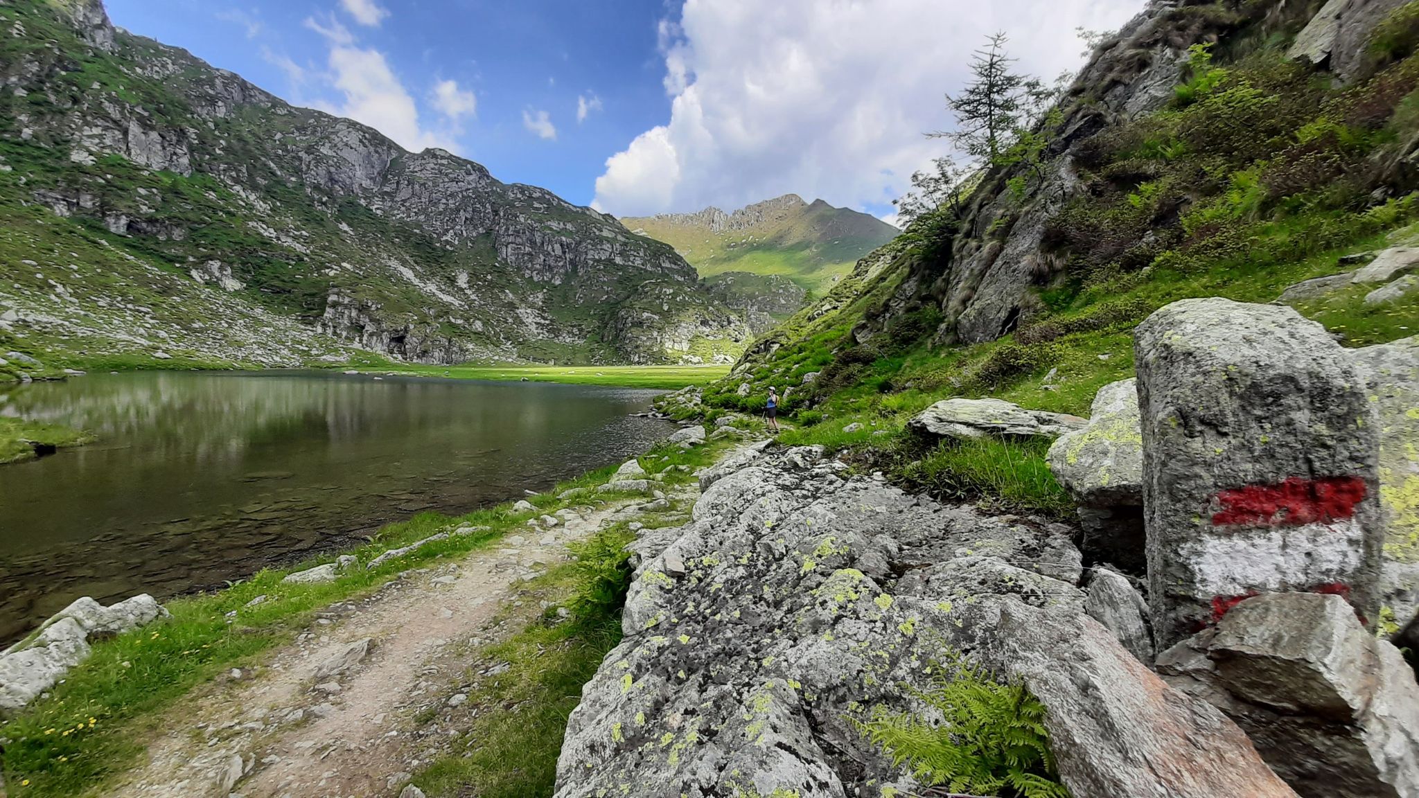
Scatta Minoia Pass and Ettore Conti Shelter
Highlight • Mountain Pass
Translated by Google •
Tip by

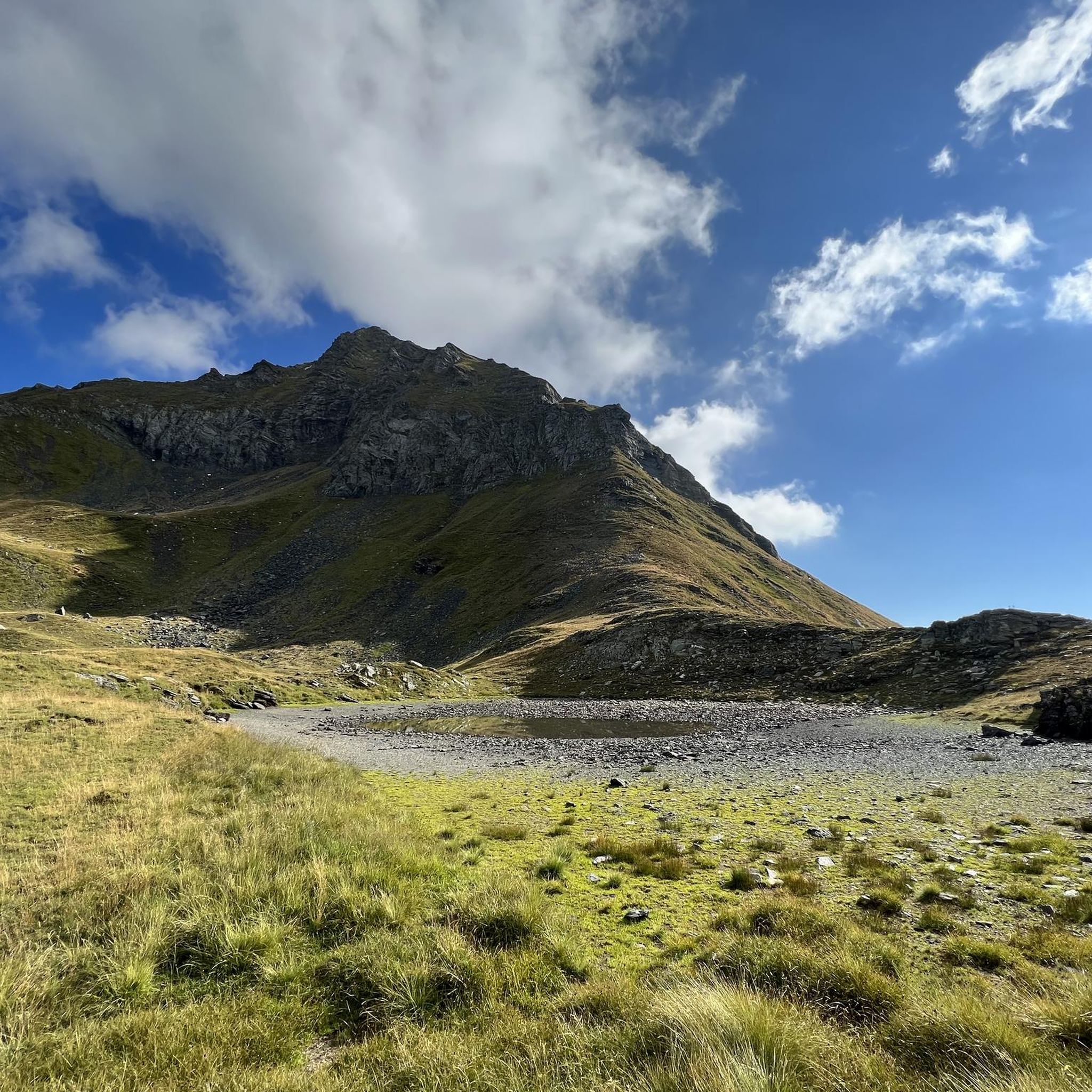
Guriner Furggu Pass
Highlight • Mountain Pass
Translated by Google •
Tip by
Sign up now to discover places like this
Get recommendations on the best single tracks, peaks, & plenty of other exciting outdoor places.
Bocchetta della Crosa
Highlight • Mountain Pass
Showing Translation
Tip by

Bocchetta di Doia
Highlight • Mountain Pass
Translated by Google •
Tip by

View of the lakes
Highlight • Viewpoint
Translated by Google •
Tip by

Sign up for free to discover even more mountain passes around Bosco Gurin.
Already have an account?
Start today with a free account
Your next adventure awaits.

Other adventures around Bosco Gurin

Tips from the Community

Bivouac practically empty. There are no beds, no mattresses. Inside only a wooden pallet. Sleeping in the bivouac is prohibitive because it means sleeping on the ground on a rough stone floor covered with thin wooden planks. Better to descend to the Margaroli hut (1 hour and a half) where there is a bivouac with 6 beds (Bivacco Italo Valmaggia). It is a winter bivouac but at least it has beds and mattresses.
1
0

The bivouac is being renovated, it is clean but for now there are no mattresses
0
0

Bocchetta della Crosa connects the Val d'Antabia with the Laghi della Crosa above the Val Calnegia. The pass is 2465 meters high, from Capanna Piano delle Creste the ascent takes about 50 minutes. From the upper lake, the path becomes demanding and steep. First, it goes without a path over a scree field, then directly upwards. On the last approx. 75 meters, the ascent on the rock face is secured with chains. These are also necessary, as it is really very steep, and also relatively fine-stoned, which makes the ground not very grippy. Arriving at the top, a great view opens up to the lower of the Laghi della Crosa. The descent to these is only a bit challenging at the very top, but soon becomes more pleasant. Quite on the border of white-red-white, one should know what one is doing here.
1
0
Be careful, there are no more mattresses in the bivouac. A window is broken; it gets very, very cold at night. No fire pit. Don't plan to spend the night there unless it's an emergency.
1
0

Ascent and descent to Bivacco EtteroConti high alpine terrain Bike often has to be carried over large boulders
0
1
In this section the bike must be carried over scree fields (S5)
0
1

Passo Scatta Minoia is located at 2,599 meters above sea level and marks the border between Val Formazza and Valle Devero. Here is the Ettore Conti Bivouac, which is white and red in color. The GTA, the Great Crossing of the Alps, also passes through this place.
1
0
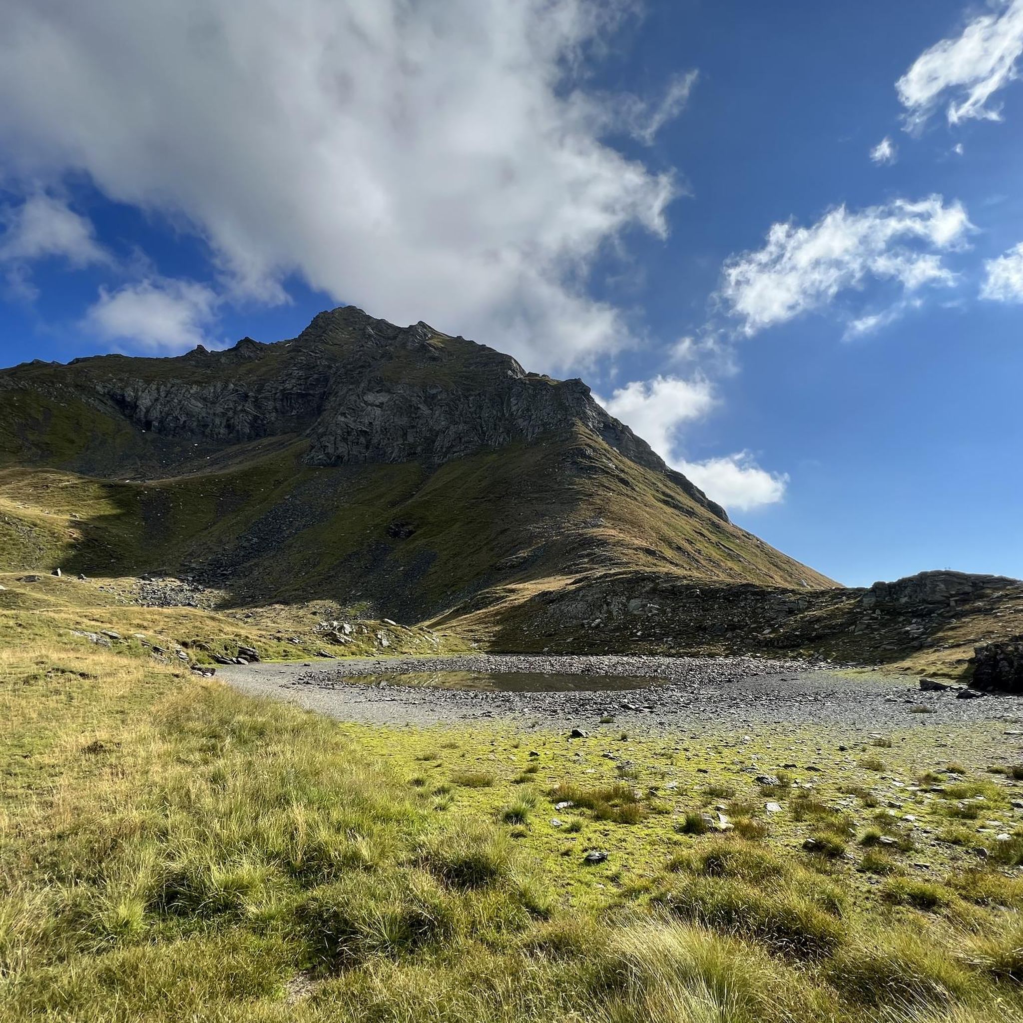
This pass is located at 2,323 meters above sea level. It is also known as Guriner Furka or Passo di Bosco. It establishes the border between Italy and Switzerland, between Piedmont and the Canton of Ticino. A stone's throw from the hill there is an enchanting lake.
1
0
Frequently Asked Questions
What are some of the most notable mountain passes around Bosco Gurin?
The region offers a variety of passes with unique features. Some notable ones include Scatta Minoia Pass and Ettore Conti Shelter, known for its high altitude and inclusion in the Great Crossing of the Alps (GTA), and Guriner Furggu Pass, which holds historical significance as a Walser migration route and marks the border between Italy and Switzerland.
Are there any mountain passes with historical significance in the Bosco Gurin area?
Yes, the Guriner Furggu Pass (also known as Guriner Furka or Bosco Pass) is historically significant. It was a route through which the Walser people settled in Bosco Gurin around 1240 and is part of the Great Walser Trail, showcasing their migration path.
Which mountain passes offer panoramic views around Bosco Gurin?
Passo Quadrella is renowned for its 360-degree panoramic views of numerous peaks and the extensive landscape down to Bosco Gurin. Additionally, Bocchetta della Valle offers views over the Devero valley and towards the Laghi Busin and Formazza.
Are there mountain passes that lead to alpine lakes near Bosco Gurin?
Yes, Bocchetta d'Orsalia is situated in a high-alpine, lake-rich area, providing access to mountain lakes like Lago Pero (Üssera See) and Lago Melo (Schwarzsee). The Guriner Furggu Pass also has an enchanting lake a stone's throw away.
What kind of terrain can I expect on mountain passes near Bosco Gurin?
The terrain varies from moderately steep alpine landscapes around Guriner Furggu Pass to impressive boulder-strewn areas at Passo Quadrella. Passes like Bocchetta di Doia traverse wild valleys, often with snow in early June, requiring surefootedness on narrow paths above rocky outcrops.
What is the best time of year to visit the mountain passes around Bosco Gurin?
The best time for hiking the mountain passes is typically during the summer months when the trails are generally free of snow and weather conditions are more stable. Early June might still see significant snow in higher areas, such as around Bocchetta di Doia.
Are there challenging mountain passes for experienced trekkers?
Absolutely. Scatta Minoia Pass and Ettore Conti Shelter, at 2,599 meters above sea level, is part of the challenging Great Crossing of the Alps (GTA). Bocchetta di Doia also offers a remote and challenging alpine experience, connecting wild valleys.
What outdoor activities can I do near these mountain passes?
Beyond hiking, the region around Bosco Gurin offers various outdoor activities. You can find challenging running trails, such as the 'Cascata del Toce – Passo di Nefelgiú loop', or explore mountain biking routes like the 'Bosco Gurin - Grossalp Loop'. For more options, check out the Running Trails around Bosco Gurin and MTB Trails around Bosco Gurin guides.
Are there any specific tips for visiting the Ettore Conti Bivouac at Scatta Minoia Pass?
If you plan to visit the Ettore Conti Bivouac at Scatta Minoia Pass, be aware that there are no mattresses, a window is broken, and it can get very cold at night. It is not recommended for planned overnight stays unless it's an emergency.
What kind of natural features can be observed around the mountain passes?
The passes offer diverse natural beauty. Around Bocchetta d'Orsalia, you can find rare plants in the alpine environment. Passo Quadrella is known for its impressive boulders and rugged beauty. The area also features cold glacier streams and views of lakes like Lago del Zött and Lago di Robiei, particularly from viewpoints below the Basodino glacier.
Are there any circular hiking routes that incorporate these mountain passes?
Yes, Passo Quadrella is an important waypoint on various hiking routes, including a circular route over the pass itself, allowing hikers to experience its panoramic views and unique boulder-strewn landscape.
Most popular attractions around Bosco Gurin

Get inspired with the komoot mobile app


Explore more
See even more epic mountain passes by checking out these guides around Bosco Gurin:
