The best road cycling routes around New Freedom
5.0
(1)
72
riders
17
rides
Road cycling routes around New Freedom, Pennsylvania, traverse a landscape characterized by picturesque rolling hills and scenic countryside. The region offers varied terrain, with routes often incorporating sections of the well-maintained York County Heritage Rail Trail. This former railroad path provides largely flat sections, complementing the area's natural elevation changes. The blend of rural vistas and accessible trails makes New Freedom suitable for road cycling.
Best road cycling routes around New Freedom
- The most popular road cycling route is Prettyboy…
Last updated: October 5, 2026
5.0
(1)
30
riders
Moderate road ride. Good fitness required. Mostly well-paved surfaces and easy to ride.
7
riders
44.3km
02:13
530m
530m
Moderate road ride. Good fitness required. Mostly well-paved surfaces and easy to ride.

6
riders
69.1km
03:14
620m
620m
Moderate road ride. Good fitness required. Some segments of this route may be unpaved and difficult to ride.
2
riders
42.9km
02:02
440m
440m
Moderate road ride. Good fitness required. Some segments of this route may be unpaved and difficult to ride.
1
riders
42.9km
02:04
430m
430m
Moderate road ride. Good fitness required. Some segments of this route may be unpaved and difficult to ride.
Get access to more routes and recommendations from other explorers.
Already have an account?
Our route recommendations are based on thousands of hikes, rides, and runs completed by other people on komoot.
Start today with a free account
Your next adventure awaits.

Tips from the Community

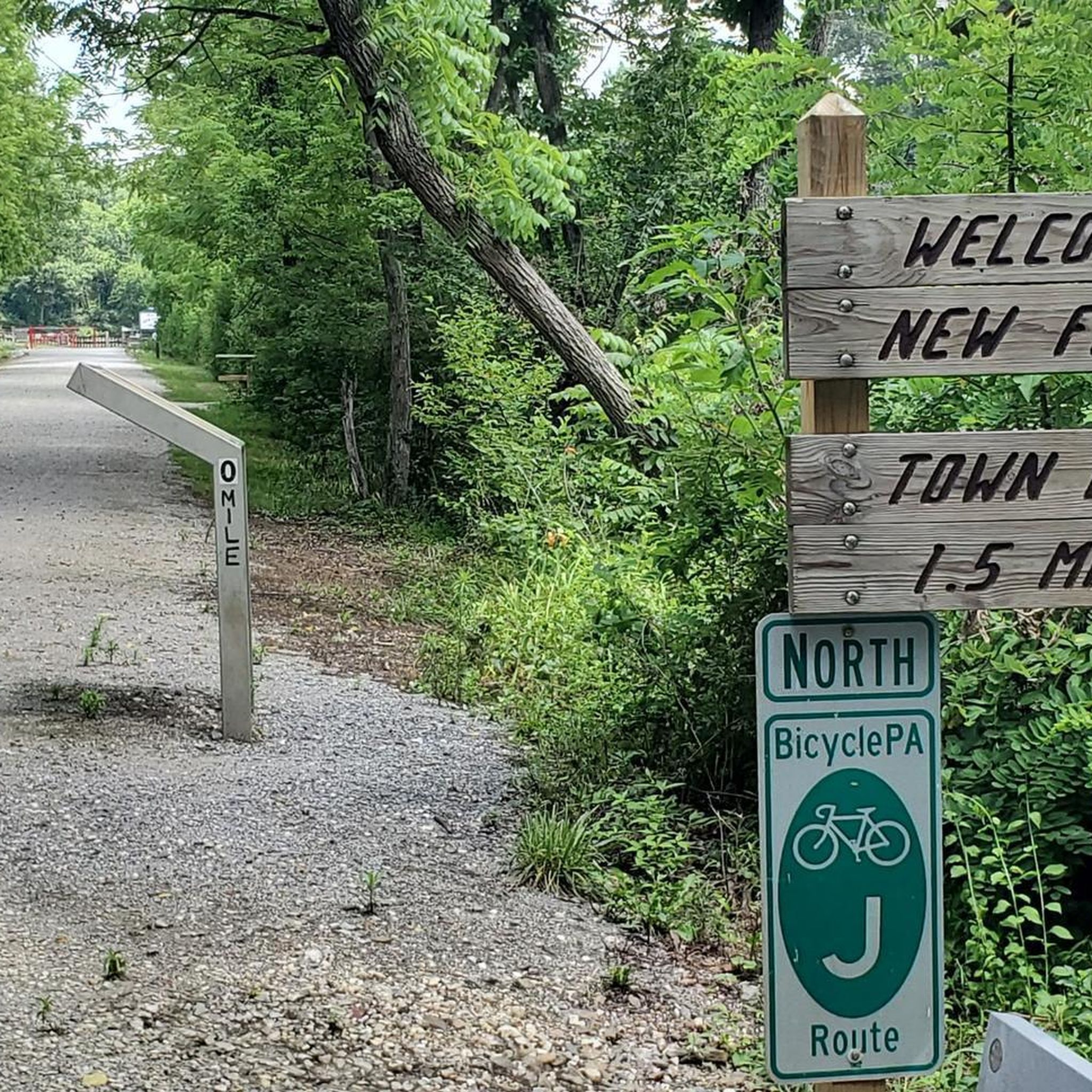
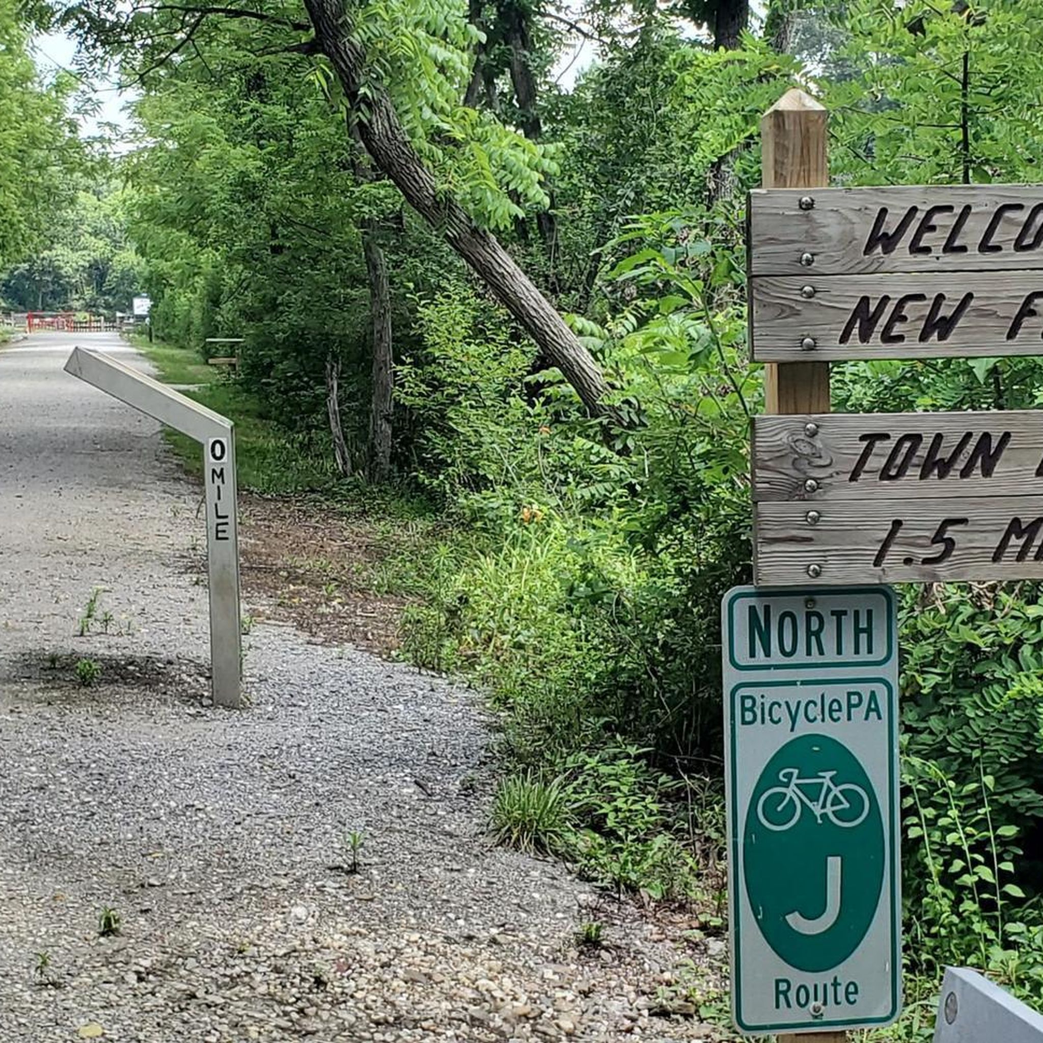
Porta potty is available here in the parking lot. A good starting point, but Brillhart is my favorite.
0
0
I noticed the hours are from dawn to dusk. No hiking today, but I have enjoyed a good hike here. I couldn't find a water fountain on my route though?
0
0


Railroad bike path with smooth inclines and fine gravel
0
0

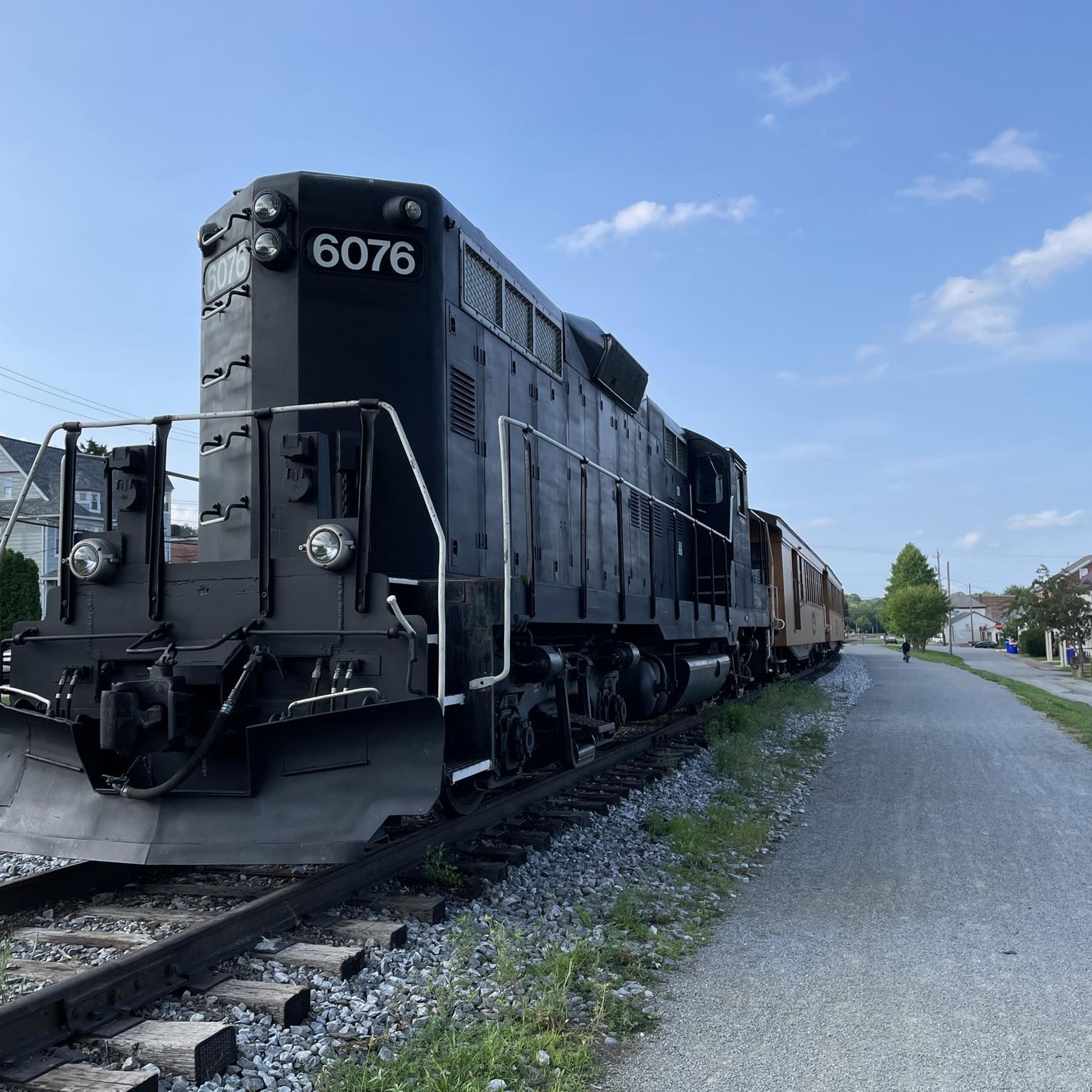
The Hanover Junction Railroad Station, built between 1852 and 1854, is a restored landmark. This three-story red structure now functions as a museum, offering a glimpse into its past. During the American Civil War, Hanover Junction played a crucial role. It served as a major railroad junction and telegraph dispatch station.
0
0
The Seven Valleys park area boasts stunning views of the surrounding countryside. Here, the elevation gently rises, offering breathtaking panoramas of rolling hills and farmland. This also part of the restored Hanover Junction Station, a stop on the original rail line dating back to 1863.
0
0
The plaque, located at this bridge, marks the 40.39 mile on the Northern Central Railroad, now used by the NCR Trail. Simultaneously crossing over the South Branch Codorus Creek and Pleasant Valley Road, offering a unique perspective from this vantage point.
0
0
Originally named “Freedom” after the Free family, the town adopted its current moniker “New Freedom” in 1873 to avoid confusion with another existing town. The borough's heritage is evident in the remnants of its once-bustling railroad industry. Rolling hills and fertile farmland surround the borough, while charming homes and friendly residents create a welcoming atmosphere.
0
0
Frequently Asked Questions
How many road cycling routes are available in New Freedom?
New Freedom offers over 20 road cycling routes, providing a diverse range of options for cyclists to explore the region's scenic countryside and rolling hills.
What are the typical lengths and durations of road cycling routes in New Freedom?
The road cycling routes around New Freedom vary in length and duration. For instance, the Prettyboy Dam – Prettyboy Reservoir loop from Prettyboy Elementary School is about 21 miles (34 km) and typically takes under 2 hours. Longer routes, such as the New Freedom Rail Trail loop from New Freedom, cover around 44.5 miles (71.6 km) and can take over 3 hours to complete.
Are there any easy or beginner-friendly road cycling routes in New Freedom?
While many routes feature the region's characteristic rolling hills, sections of the York County Heritage Rail Trail offer largely flat and well-maintained paths, which are ideal for beginners or those seeking an easier ride. Routes that incorporate this trail, like the New Freedom Rail Trail – New Freedom loop from New Freedom, provide a more gentle cycling experience.
What kind of terrain can I expect on road cycling routes in New Freedom?
Road cycling in New Freedom is characterized by picturesque rolling hills and scenic countryside. You'll encounter varied terrain, from the relatively flat and well-maintained sections of the York County Heritage Rail Trail to more challenging ascents and descents through rural vistas. This blend offers options for different ability levels.
Are there any circular road cycling routes in New Freedom?
Yes, many road cycling routes in New Freedom are designed as loops, allowing you to start and end at the same point. Examples include the Saubel Hill loop from Glen Rock and the New Freedom Rail Trail – New Freedom loop from Maryland Line, which offer convenient circular journeys through the area.
What are some scenic highlights or attractions along the road cycling routes?
Many routes offer scenic views of the surrounding countryside and natural features. The York County Heritage Rail Trail itself is a major attraction, providing picturesque views along its path. Nearby, you can find natural beauty around the Susquehanna River, and attractions like Codorus State Park and Lake Redman are also within the broader region, offering additional points of interest.
What do other road cyclists enjoy most about cycling in New Freedom?
The road cycling routes in New Freedom are highly rated by the komoot community, with an average score of 5.0 stars. Cyclists often praise the blend of rolling hills and the accessible York County Heritage Rail Trail, which provides a varied and engaging experience for different skill levels.
Where can I find parking and access points for road cycling routes in New Freedom?
Access to the York County Heritage Rail Trail, a central feature for many road cycling routes, is available directly in New Freedom. The town itself offers several community parks like Freedom Green Park and Quail Ridge, which are often good starting points with potential parking. For more detailed information on local access, you can visit the New Freedom Heritage website.
What is the best season for road biking in New Freedom?
The best season for road biking in New Freedom is generally spring, summer, and fall, when the weather is mild and the scenery is vibrant. The rolling hills and countryside are particularly beautiful during these times. While winter cycling is possible, conditions may vary, and some paths could be affected by snow or ice.
Are there any cafes or places to stop for refreshments along the routes?
New Freedom, being a town that the York County Heritage Rail Trail passes through, offers local amenities including cafes and shops where cyclists can stop for refreshments. Additionally, parks like Quail Ridge, located just off the Rail Trail, provide perfect spots for resting or a picnic lunch.
Are there any challenging road cycling routes in New Freedom for experienced riders?
Yes, experienced riders looking for a challenge will find routes that navigate the region's more pronounced rolling hills, offering significant elevation gains. Routes like the Saubel Hill loop from Glen Rock, with its moderate difficulty and notable elevation, provide a good workout while showcasing the area's scenic beauty.

Get inspired with the komoot mobile app


Explore more
Browse the best Road cycling routes in other regions.
