The best road cycling routes around Easton
184
riders
34
rides
Road cycling around Easton, Pennsylvania, is characterized by its location at the confluence of the Delaware and Lehigh Rivers, offering diverse routes along scenic waterways. The region features a network of trails, including paved rail trails and crushed stone towpaths, alongside country roads with varying elevation changes. Cyclists can explore historical canal routes and areas with moderate hills, providing options for different skill levels.
Best road cycling routes around Easton
- The most popular road cycling route is Two Rivers Trailway — Palmer – Delaware Canal State Park loop from Easton, a 22.1 miles (35.6 km) trail that takes 1 hour 45 minutes to complete. This easy route follows riverfronts and historic canal paths.
- Another top favourite among local road cyclists is Bixlers Bluff – Delaware Canal State Park loop from Easton, a moderate 20.7 miles (33.3 km) path. This route includes views over the Delaware River and sections of the Delaware Canal State Park.
- Local road cyclists also love the Bixlers Bluff loop from Easton, a 24.4 miles (39.3 km) trail leading through areas with views over the Delaware River, often completed in about 2 hours 6 minutes.
- Road cycling around Easton is defined by its river confluence, historic canal towpaths, and country roads with moderate hills. The network offers options for various ability levels, from flat, paved paths to routes with more significant elevation changes.
- The routes in Easton are highly rated by the komoot community with an average score of 5.0 stars from over 1 review. More than 250 road cyclists have used komoot to explore Easton's varied terrain.
Last updated: October 5, 2026
21
riders
32.4km
01:37
350m
350m
Moderate road ride. Good fitness required. Mostly well-paved surfaces and easy to ride.
10
riders
15.8km
00:56
110m
110m
Moderate road ride. Great for any fitness level. Some segments of this route may be unpaved and difficult to ride.

3
riders
104km
05:20
1,120m
1,120m
Hard road ride. Very good fitness required. Mostly well-paved surfaces and easy to ride.
5
riders
69.6km
03:19
620m
620m
Moderate road ride. Good fitness required. Some segments of this route may be unpaved and difficult to ride.
18
riders
19.1km
00:51
120m
120m
Easy road ride. Great for any fitness level. Mostly well-paved surfaces and easy to ride.
Get access to more routes and recommendations from other explorers.
Already have an account?
Our route recommendations are based on thousands of hikes, rides, and runs completed by other people on komoot.
Start today with a free account
Your next adventure awaits.

Tips from the Community

The Karl Stirner Arts Trail in Easton offers a scenic pathway featuring diverse, contemporary art installations. Named after the renowned sculptor, the trail combines nature and creativity, providing an engaging outdoor gallery experience for art and nature enthusiasts alike.
0
0
The Karl Stirner Arts Trail in Easton offers a scenic pathway featuring diverse, contemporary art installations. Named after the renowned sculptor, the trail combines nature and creativity, providing an engaging outdoor gallery experience for art and nature enthusiasts alike.
0
0

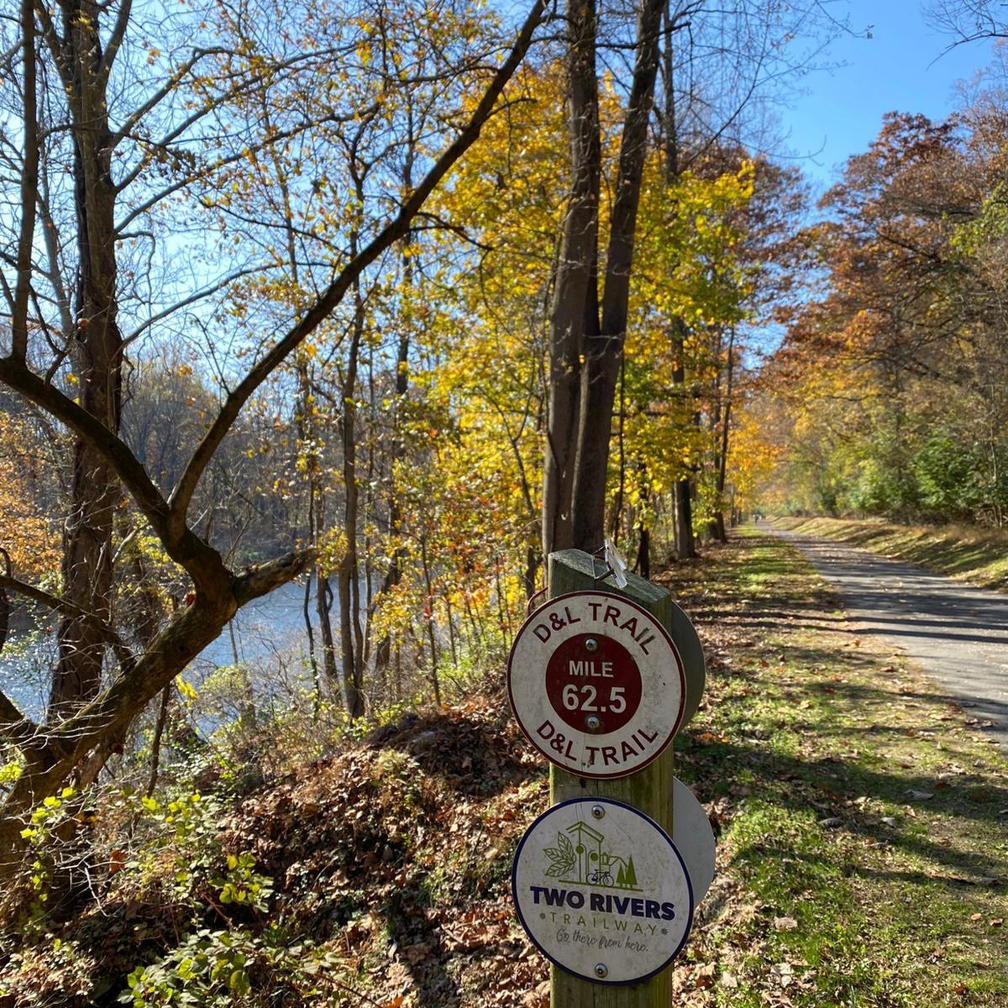
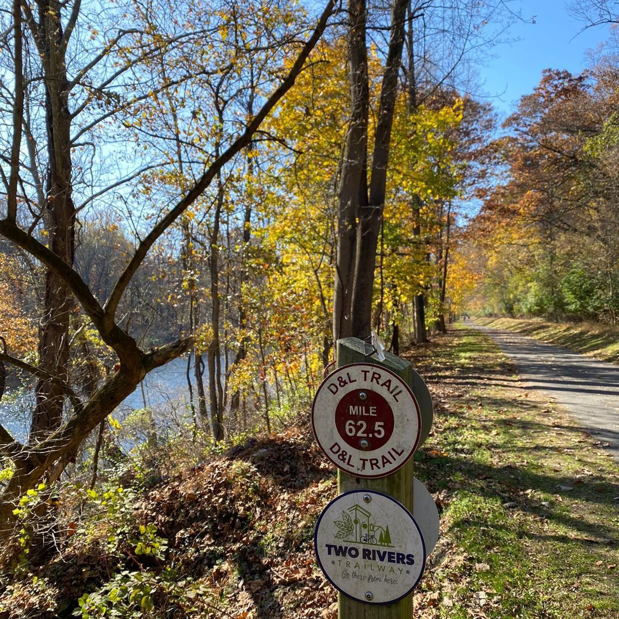
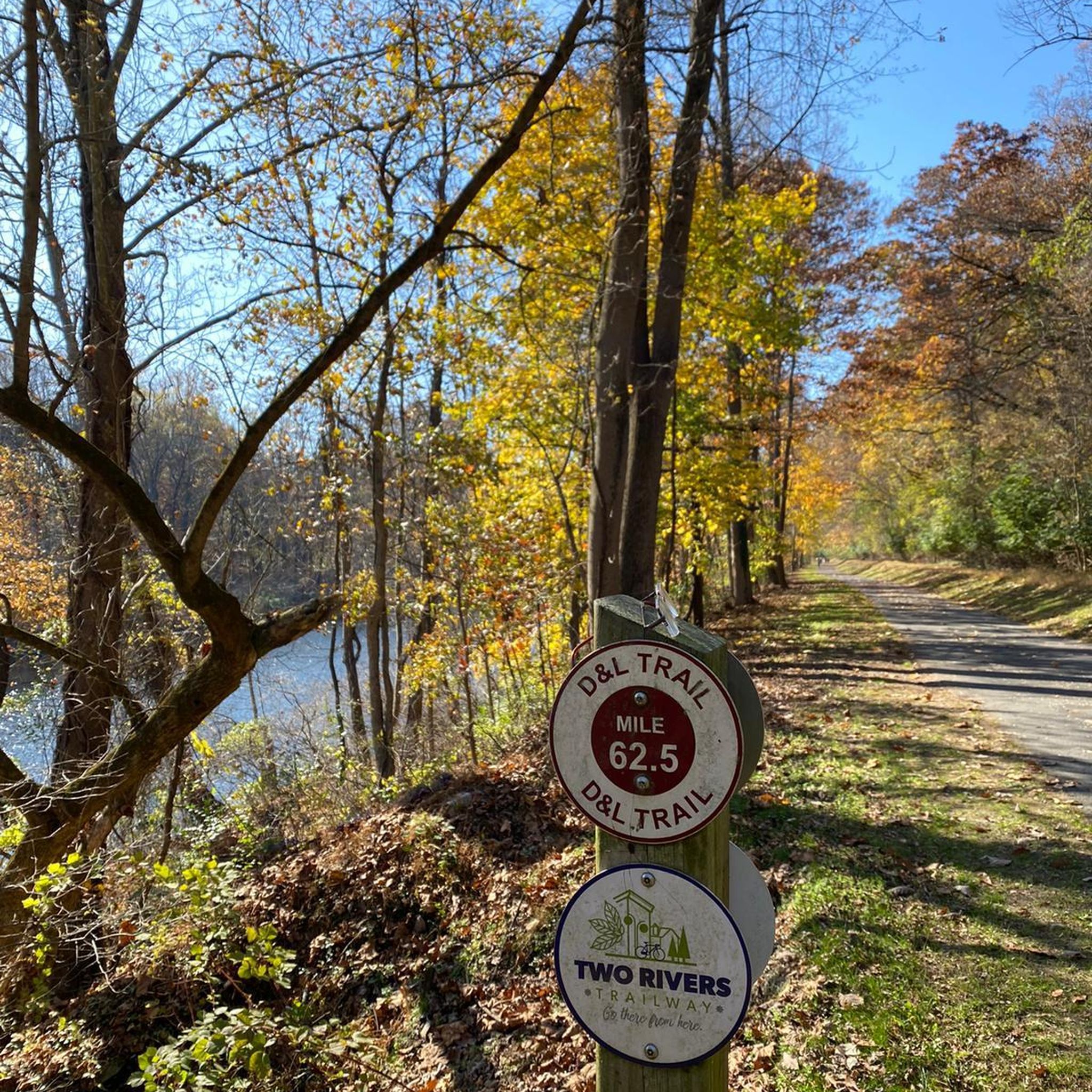
The Two Rivers Trailway is a scenic 30-mile network of multi-use trails that has map signage along the entire route. This is the Forks section that branches into northern Easton from the Palmer section.
0
0
Three memorials stand atop the scars from that fateful day on Sept. 11, 2001. One is in New York City, one in Washington D.C. and one in a field in Pennsylvania. These sites of remembrance are linked together by the 9:11 National Memorial Trail. A total of over 1,300 miles of trails and roads that link together a route that serves as a tribute to all the heroes who responded on that day.
0
0

It's worth taking a little detour to the top of this bluff for great views over the Delaware River.
0
0

This 30 mile trail is unique as it passes through several parks and meanders along Bushkill Creek. The trail is nicely paved so it's perfect for hiking, running, or biking. It has several places to stop and relax along the way.
0
0
The Two Rivers Trailway is a scenic 30 mile network of multi-use trails that has map signage along the entire route. This is the Forks section that branches into northern Easton from the Palmer section.
0
0

A section of open land that separates subdivisions and maintains some natural space within the community. The Penn's Grant Path runs through the open space for walkers, bikers, and joggers.
0
0
Frequently Asked Questions
How many road cycling routes are available around Easton?
Easton offers a wide selection of road cycling routes, with over 35 routes available. These range from easy, flat paths along riverfronts to more challenging rides with significant elevation changes through the surrounding countryside.
Are there road cycling routes suitable for beginners or families in Easton?
Yes, Easton has several easy road cycling routes perfect for beginners and families. The Two Rivers Trailway — Palmer – Delaware Canal State Park loop from Easton is an easy 22.1-mile route that follows riverfronts and historic canal paths. Another great option is the Bushkill Creek loop from Downtown, which is a shorter, easy 13.2-mile ride.
What kind of terrain and elevation can I expect on road cycling routes near Easton?
Road cycling routes around Easton offer diverse terrain. You'll find flat, paved sections along the D&L Trail and Two Rivers Trailway, which follow historic canal towpaths and riverfronts. Other routes, particularly those exploring areas like Bixlers Bluff, feature moderate hills and elevation gains, providing more challenging rides with rewarding views over the Delaware River. Overall, routes vary from easy with minimal elevation to moderate with up to 660 meters of ascent.
Where can I find scenic views or historical landmarks along road cycling routes in Easton?
Easton's road cycling routes are rich with scenic views and historical landmarks. Many routes follow the confluence of the Delaware and Lehigh Rivers, offering stunning waterfront vistas. The Bixlers Bluff – Delaware Canal State Park loop from Easton provides excellent views over the Delaware River. You can also explore historic canal towpaths, which feature old locks and artifacts. The Delaware Canal State Park is a prominent highlight along many routes.
Are there options for longer distance road cycling routes from Easton?
Yes, for cyclists looking for longer distances, Easton offers routes that extend further into the region. The Delaware Canal State Park – Bixlers Bluff loop from Easton is a moderate 30.4-mile route, providing a substantial ride with varied scenery. The extensive D&L Trail also offers opportunities for long-distance rides, connecting Easton to other towns in the Lehigh Valley.
What are the parking options for cyclists accessing trails in Easton?
Parking for cyclists is generally available at various access points along the major trails in Easton. For instance, you can often find parking near downtown Easton for routes like the Bushkill Creek loop, or at designated trailheads for the D&L Trail and Two Rivers Trailway. Specific parking details can often be found on individual route pages or local park websites.
What is the best time of year for road cycling in Easton, and what are the seasonal considerations?
The best time for road cycling in Easton is typically spring, summer, and fall. Spring brings lush greenery and comfortable temperatures, while fall offers vibrant foliage. Summer is also popular, though it can be warmer. Cyclists should be aware that some sections of the D&L Trail, particularly crushed stone towpaths, can be prone to flood damage after heavy rains, so checking trail conditions seasonally is advisable.
Are there any specific permits required for road cycling on trails around Easton?
Generally, no specific permits are required for road cycling on the public trails and roads around Easton, including sections of the D&L Trail and Two Rivers Trailway. These trails are typically open for public use. However, it's always a good practice to check local regulations for any specific park or private land you might encounter.
Can I find cafes or places to stop for refreshments along road cycling routes in Easton?
Yes, many road cycling routes in Easton pass through or near downtown areas and small towns where you can find cafes, restaurants, and other refreshment stops. Routes that start or end in Easton's downtown area offer easy access to a variety of establishments. Planning your route with komoot allows you to see points of interest and amenities along the way.
What do other cyclists say about road cycling in Easton?
The road cycling experience in Easton is highly rated by the komoot community, with an average score of 5.0 stars. Cyclists often praise the region's diverse routes, from scenic riverfront paths to routes with rewarding views over the Delaware River. The blend of natural beauty and historical significance, particularly along the canal towpaths, is frequently highlighted.
Are there any dog-friendly road cycling options in Easton?
While road cycling itself is generally not suitable for dogs, many multi-use trails in the Easton area, such as sections of the D&L Trail, allow leashed dogs. If you're looking to combine cycling with a walk for your dog, consider routes that incorporate these multi-use paths. Always ensure your dog is on a leash and you clean up after them.
Are there less crowded road bike trails near Easton?
While popular routes like the D&L Trail can see more traffic, especially on weekends, exploring some of the country roads and less-traveled loops can offer a quieter experience. Routes that venture away from the immediate riverfronts and into the more rural areas surrounding Easton often provide a more serene ride. Using komoot's route planner can help you discover these less-trafficked options.
Most popular attractions around Easton

Get inspired with the komoot mobile app


Explore more
Browse the best Road cycling routes in other regions.
