The best road cycling routes around Santa Clara
4.6
(13)
1,253
riders
82
rides
Road cycling around Santa Clara offers a diverse landscape, ranging from flat urban trails to challenging mountainous ascents. The region is situated within the Santa Clara Valley, bordered by the Santa Cruz Mountains to the west and the Diablo Range to the east, providing varied terrain. Cyclists can find routes along river paths, through open spaces, and around reservoirs, with options for different skill levels. The area's geographical position allows for both leisurely rides and significant elevation gains.
Best road…
Last updated: July 22, 2026
59
riders
40.8km
01:56
150m
150m
Easy road ride. Great for any fitness level. Mostly well-paved surfaces and easy to ride.
25
riders
Easy road ride. Great for any fitness level. Mostly well-paved surfaces and easy to ride.

Sign up for free
19
riders
Easy road ride. Great for any fitness level. Mostly well-paved surfaces and easy to ride.
13
riders
Easy road ride. Great for any fitness level. Mostly well-paved surfaces and easy to ride.
13
riders
39.2km
01:44
70m
70m
Easy road ride. Great for any fitness level. Mostly well-paved surfaces and easy to ride.
Get access to more routes and recommendations from other explorers.
Sign up for free
Already have an account?
Our route recommendations are based on thousands of hikes, rides, and runs completed by other people on komoot.
Start today with a free account
Your next adventure awaits.
Login or Signup
Popular around Santa Clara

Tips from the Community

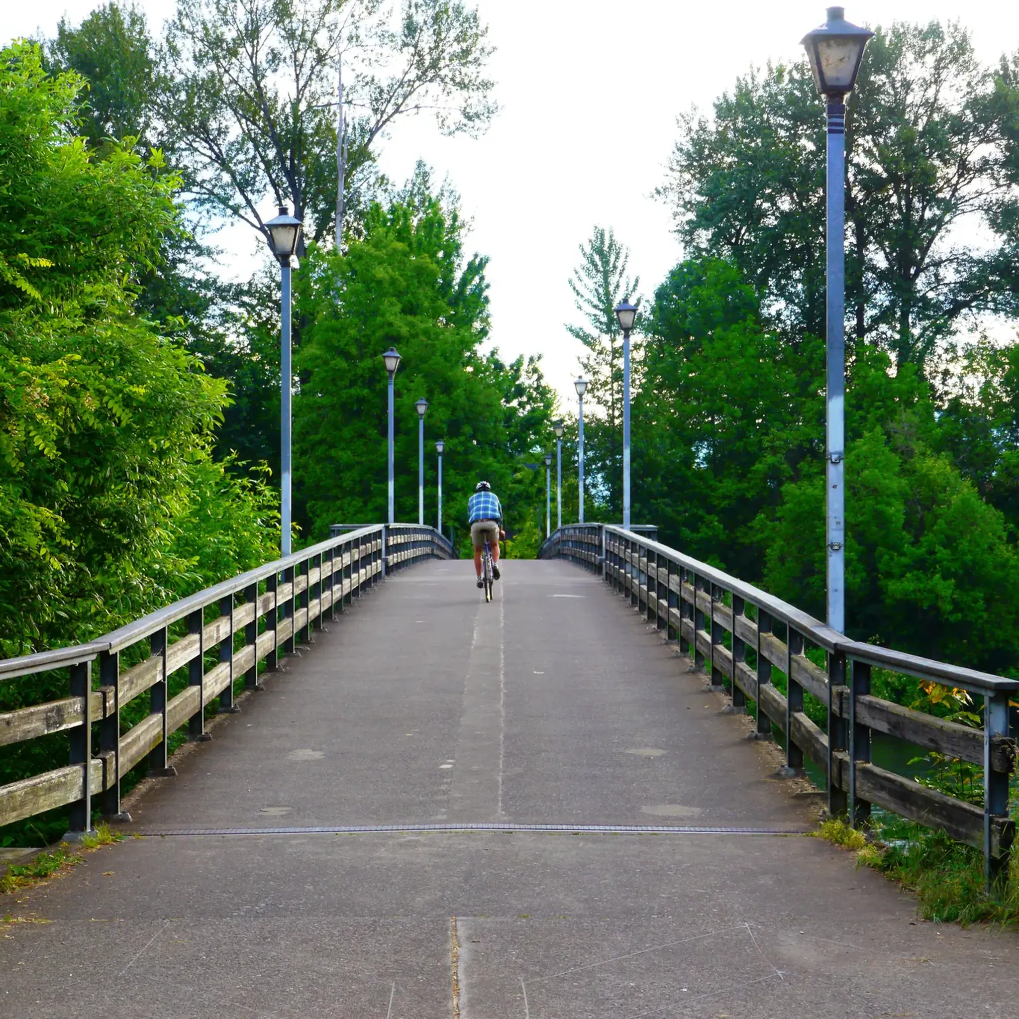
Easy ride with no traffic only bikes and joggers, some walking couples
0
0


Since 1967 Autzen Stadium has been the home of the Oregon Ducks Football team. The stadium was funded in large part by the Autzen Foundation whose founder, Thomas J. Autzen, the stadium is named after. Somewhat ironically, Thomas J. Autzen was an alumnus of arch rival Oregon State University.
1
0

Alton Baker Park features duck ponds, bicycle trails, a disc golf course and a dog park. It connects to the Ferry Street Bridge across the Willamette River. The Cuthbert Amphitheater is here, which is a popular venue for outdoor musical and drama performances.
0
0

Standing at 15 m, weeping willows boast sinuous trunks wrapped in silver-brown attire. Graceful, light green leaves dance on spiraled, yellow-green stems from the crown. Spring's touch brings golden catkin clusters, with spiraled branches and curled leaves adding intrigue. A scenic marvel along your path.
0
0

Nolan Mitigation Site is an area of protected natural wetland near Amazon Creek. The Fern Ridge Trail walking and bicycling greenway is a paved trail that runs through Nolan Mitigation Site and follows Amazon Creek for 6 about miles (10km).
0
0

The North Bank Path goes right under the interstate while hugging the banks of the river. The path connects to a bunch of other paved paths in this area, but the simplest route is just to stick to the widest path.
0
0
Duck Island is one of two little islands within this pond, which is part of the waterways of Alton Baker Park. This park is Eugene’s largest developed park. The park, created in 1959, is home to dozens of recreational features and facilities. From this peaceful vantage point close to the water, you can watch the ducks go about their daily routine of coming and going to the island they have effectively named.
0
0
Frequently Asked Questions
How many road cycling routes are available in Santa Clara?
Santa Clara offers a wide variety of road cycling routes, with over 70 options available. These routes cater to different skill levels, from easy rides to more challenging ascents.
What types of terrain can I expect when road cycling in Santa Clara?
Road cycling in Santa Clara features a diverse landscape. You'll find flat urban trails and river paths, as well as access to mountainous terrain in the Santa Cruz Mountains and the Diablo Range. This allows for both leisurely rides and significant elevation gains, offering varied experiences from valley floors to scenic mountain roads.
Are there road cycling routes suitable for beginners in Santa Clara?
Yes, Santa Clara has numerous road cycling routes perfect for beginners. Approximately 31 routes are classified as easy, offering gentle terrain and shorter distances. A good example is the Nolan Mitigation Site – Big Willow loop from Willamette High School, which is an easy 16.3-mile ride through natural areas.
Where can I find challenging road cycling routes in Santa Clara?
For experienced road cyclists seeking a challenge, Santa Clara's proximity to the Santa Cruz Mountains and the Diablo Range offers demanding climbs. While the guide lists 2 difficult routes, the region is known for routes like the Mount Hamilton & JD Grant Park loop, which provides significant elevation gain and panoramic views.
What is the best time of year for road cycling in Santa Clara?
Santa Clara generally offers pleasant road cycling conditions year-round. The spring brings vibrant wildflowers to the hills, while the summer and fall provide consistent weather. Winters are typically mild, though it's always advisable to check local weather forecasts for rain or cooler temperatures, especially when heading into higher elevations.
Are there any family-friendly road cycling routes in Santa Clara?
Yes, many of the easier routes in Santa Clara are suitable for families. The region's dedicated multi-use paths and comfortable bike lanes along river and creek trails provide safe and enjoyable options. Routes like the West Bank Path – Duck Island Wooden Bridge loop from Irving Elementary Field offer a pleasant experience through natural areas.
Can I find road cycling routes with scenic viewpoints or natural features in Santa Clara?
Absolutely. Santa Clara is rich in natural beauty. You can cycle around reservoirs like Stevens Creek Reservoir and Calero Reservoir for clear water views and lush hills. The Sierra Vista Open Space Preserve offers stunning vistas, especially during spring wildflowers. Additionally, parts of the San Francisco Bay Trail provide flat, scenic routes along the bay.
What landmarks or attractions can I see along road cycling routes in Santa Clara?
Many routes in Santa Clara pass by or are near interesting landmarks and natural features. You might encounter the beautiful Owen Memorial Rose Garden, cross the Peter DeFazio Bridge, or cycle along the West Bank Path. The region also features several lakes and natural sites like Nolan Mitigation Site and Golden Gardens Park.
Are there road cycling routes that follow river paths or creek trails?
Yes, Santa Clara is well-known for its scenic river and creek trails. The Guadalupe River Trail and the San Tomas Aquino Creek Trail are excellent for cycling, often combined into popular loops. Routes such as the West Bank Path – Duck Island Wooden Bridge loop from Irving Elementary Field specifically utilize these picturesque pathways.
Are there road cycling routes with parking available in Santa Clara?
Many road cycling routes in Santa Clara have convenient parking options, often near trailheads or parks. For instance, the Frohnmayer Bridge – Owen Memorial Rose Garden loop starts from the Wayne Morris Parking Lot, indicating accessible parking for cyclists.
Is public transport accessible for reaching road cycling routes in Santa Clara?
Santa Clara County is actively working on improving its infrastructure for cyclists, which includes considering public transport accessibility. While specific route connections vary, the city's ongoing bikeway planning studies aim to enhance connectivity, making it easier to reach various cycling routes via public transit options.
What do other road cyclists enjoy the most about road cycling in Santa Clara?
The road cycling experience in Santa Clara is highly rated by the komoot community, with an average score of 4.6 stars from over 10 reviews. Cyclists frequently praise the varied terrain, which offers everything from flat, leisurely rides along river paths to challenging climbs in the surrounding mountains, as well as the well-maintained paths and scenic natural areas.
Are there any long-distance road cycling routes in Santa Clara?
Yes, Santa Clara offers several longer road cycling routes for those looking to cover more distance. For example, the Fern Ridge Dam – Fern Ridge Lake loop from South Lot is a moderate 36.1-mile path that winds through scenic landscapes, providing a good option for a longer ride.
Most popular routes around Santa Clara
Most popular attractions around Santa Clara

Get inspired with the komoot mobile app


Explore more
Browse the best Road cycling routes in other regions.
