Top 20 Lakes around Tschagguns
Best lakes around Tschagguns are found in the picturesque Montafon valley of Vorarlberg, Austria. This region offers access to several notable lakes, providing diverse experiences for outdoor enthusiasts. The area is characterized by its alpine setting, with lakes nestled among impressive peaks and offering various recreational opportunities. These natural features contribute to the region's appeal for those seeking serene landscapes and outdoor activities.
Best lakes around Tschagguns
- The most popular lakes is Lünersee South Shore, a lake that offers a circular route of 2.5 to 3.5 hours. Its crystal clear, turquoise blue waters contrast with the surrounding meadows and cliffs.
- Another must-see spot is Black Lake, a mountain lake located on the Hochjoch. It is the largest of three mountain lakes in the area and contains fish such as rainbow trout and brook trout.
- Visitors also love Heart Lake, a small mountain lake. It is named for its distinctive shape when viewed from the right perspective, lying in a valley below the Hochjoch.
- Tschagguns is known for mountain lakes, reservoirs, and lakes with unique natural features. The area offers a variety of lakes to see and explore, from high-alpine settings to those integrated with adventure activities.
- The lakes around Tschagguns are appreciated by the komoot community, with more than 900 upvotes and over 190 photos shared across 7 highlights.
Last updated: July 21, 2026
Lake Lüner
Highlight • Lake
It lies at an altitude of 1970 m above sea level. A. at the foot of the Schesaplana. In 1959 Vorarlberger Illwerke AG enlarged the storage volume of the lake with a dam; since then it has been using the water to generate electricity in the Lünersee plant. Through an artificial tunnel, the lake is fed by the meltwater of the Brandner glacier. The processed water of Lake Lüner is cached in the reservoir Latschau.
The net capacity of Lünersee amounts to 78.3 million m³ (water surface 1.55 km²). This corresponds to about 262 million kWh of stored energy. The water depth is well over 50 meters.
The area around the lake forms the valley end of the Brandnertal valley, which can only be reached via narrow paths or the Lünerseebahn from the Schattenlagant area. Directly at the mountain station at the dam is the Douglasshütte, which serves as a snack and overnight accommodation for hikers.
Source: Wikipedia
Translated by Google •
Tip by

Douglass Hut at Lake Lünersee
Highlight • Mountain Hut
Translated by Google •
Tip by

Sign up now to discover places like this
Get recommendations on the best single tracks, peaks, & plenty of other exciting outdoor places.
Sign up for free
Lünersee South Shore
Highlight • Lake
When the weather is nice, the mass tourism is pure! Nevertheless, a trip is always worthwhile.
Translated by Google •
Tip by

View of Lünersee
Highlight • Viewpoint
Translated by Google •
Tip by

Heart Lake
Highlight • Lake
Translated by Google •
Tip by

Sign up for free to discover even more lakes around Tschagguns.
Sign up for free
Already have an account?
Start today with a free account
Your next adventure awaits.
Login or Signup
Popular around Tschagguns

Min Weag long-distance hiking trail – From Lake Constance to the Alps
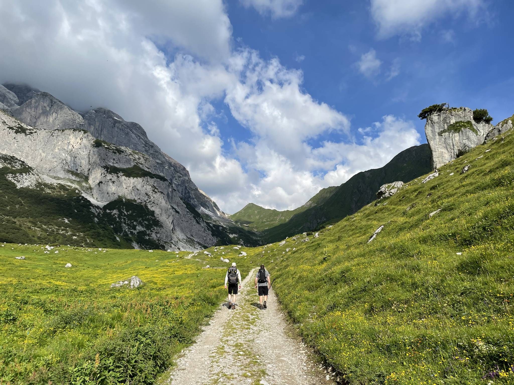
Montafon Hut-to-Hut Hiking Trail – 13 days in Western Austria
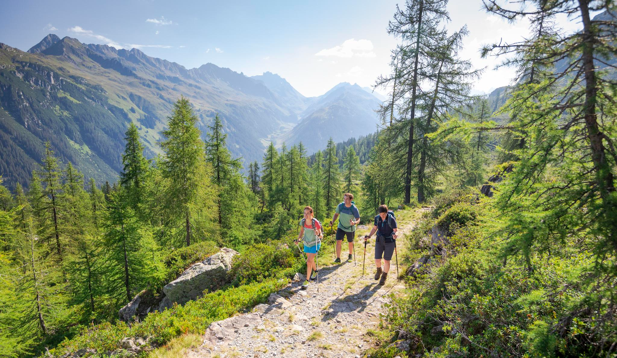
Between Maisäß and Alpe – hiking in Montafon
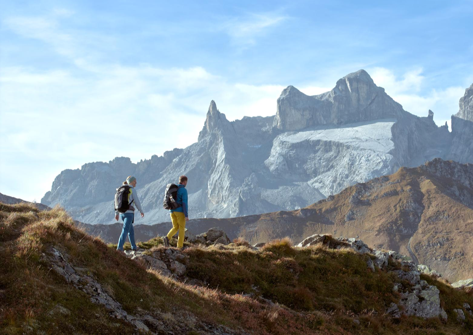
Alpenmosaik Montafon – the most beautiful autumn hikes
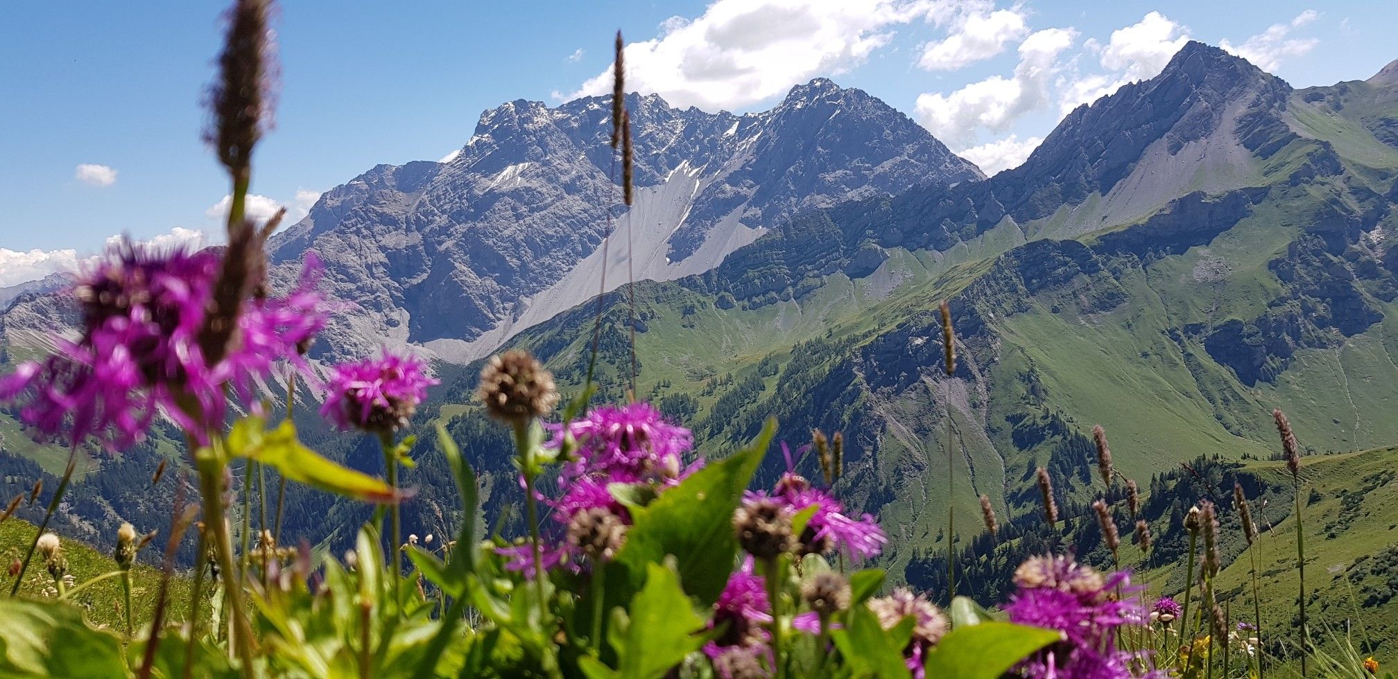
Trans-Rätikon – an adventure in the Tri-Border Region
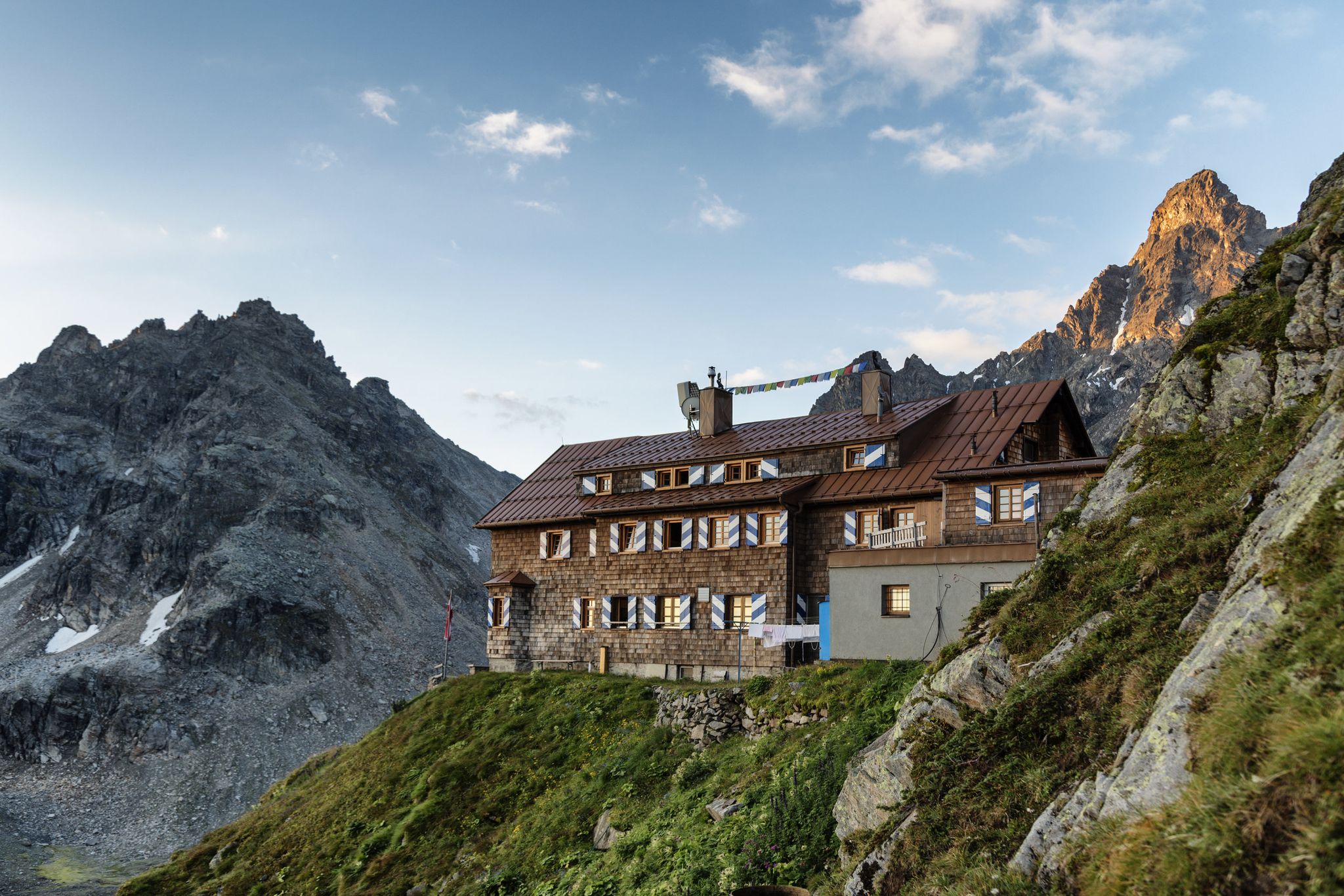
Alpenmosaik Montafon - The Montafoner Hüttenrunde
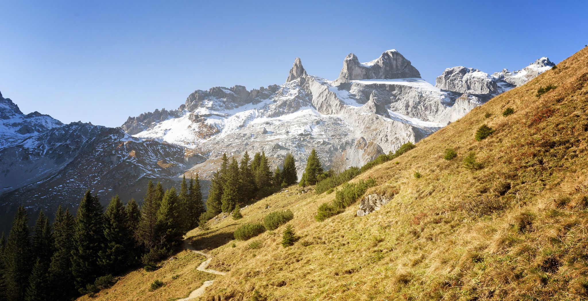
Alpine Mosaic Montafon — Austria’s Rätikon adventure area
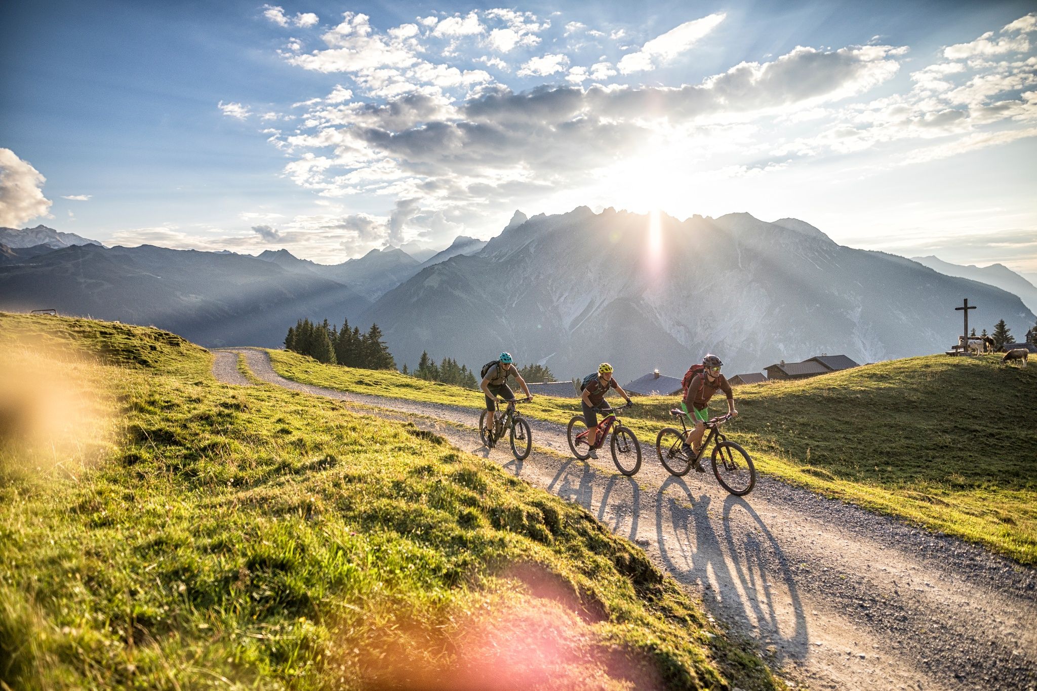
The 10 most beautiful e-mountain bike routes in Montafon
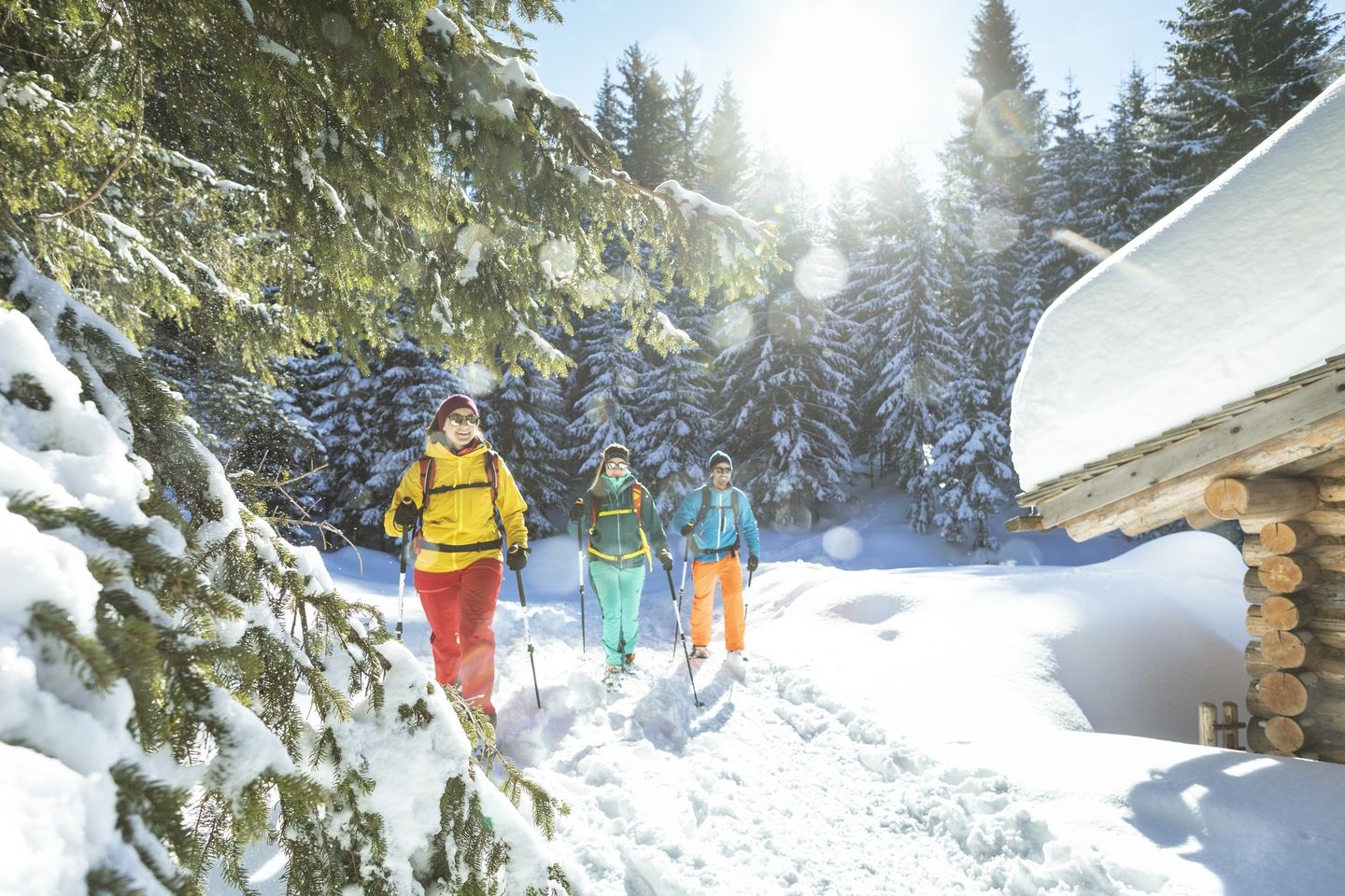
Snowshoe and winter hikes in the Montafon
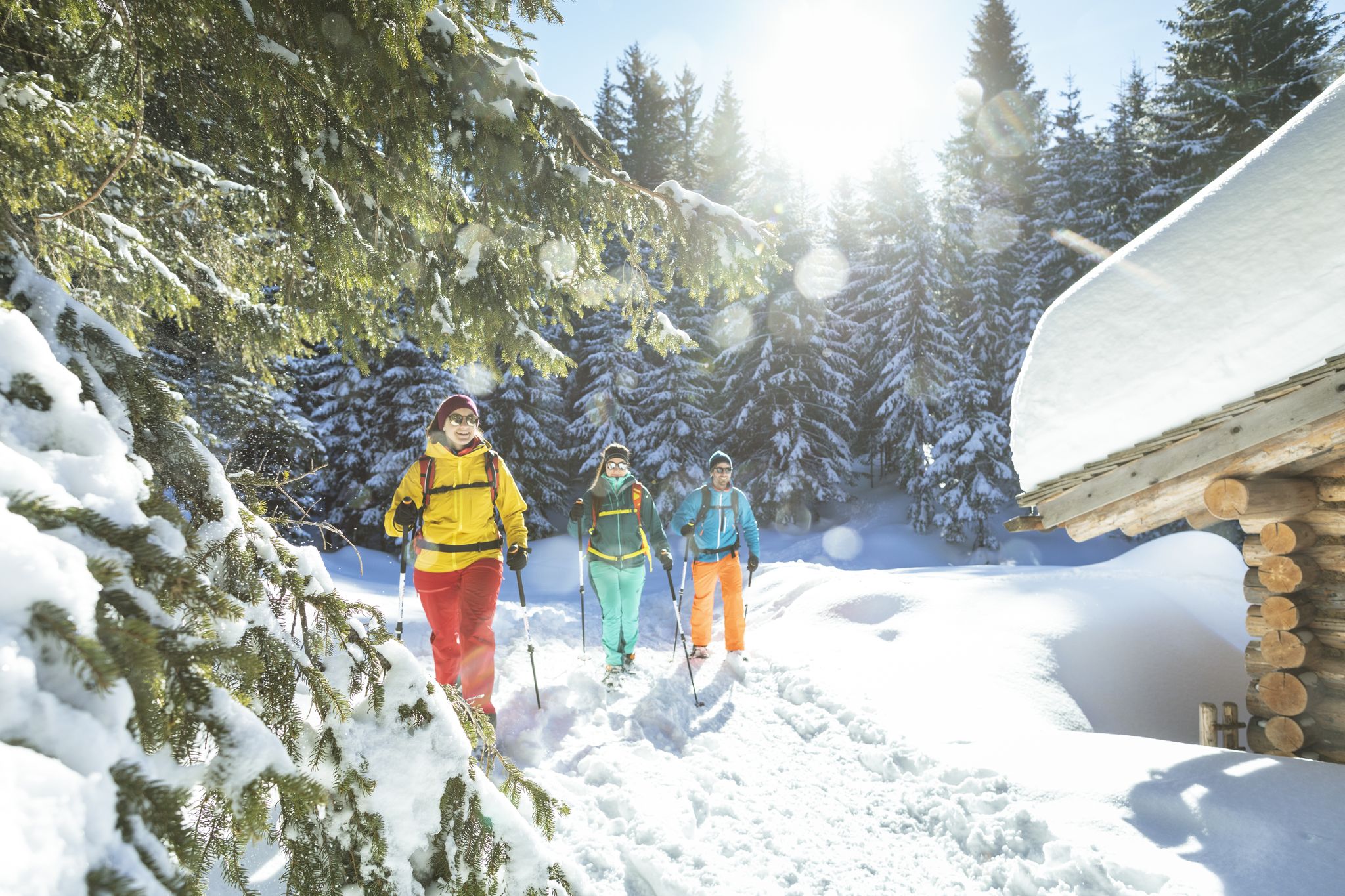
Snowshoe and winter hikes in the Montafon
Other adventures around Tschagguns


Tips from the Community

When circumnavigating Lake Lünersee, you can stop for a break at the Lünersee Alpe. The Lünersee Alpe sells regional products and offers a small snack menu. Cash payments only. Opening hours depend on the alpine season. Source: https://www.vorarlberg-alpenregion.at/brandnertal/de/alpe-luenersee-2_vc5704
9
1
Wonderful valley and great view over Lünersee.
9
1
Great view of the beautiful Lünersee from a little above. This spot is part of the lake circuit.
9
0
A walk around the lake is definitely worth it; the view from this side is simply amazing.
9
0
The Lünersee, an old mountain lake transformed into a reservoir by a dam, is one of the largest lakes in the Austrian province of Vorarlberg. It is located in the municipality of Vandans. Its pumped-storage power plant, the Lünerseewerk, with an initial capacity of 225 MW, was for a long time the most powerful pumped-storage power plant in the world. Source: https://de.m.wikipedia.org/wiki/L%C3%BCnersee
8
1

The Lünersee was once a natural mountain lake. The construction of a dam in 1959 transformed it into a reservoir with a capacity of 78.3 million m3. When full, the lake is 139 m deep. The circular trail around the lake is largely family-friendly and easy to walk.
10
0
The Lünersee was once a natural mountain lake. The construction of a dam in 1959 transformed it into a reservoir with a capacity of 78.3 million m3. When full, the lake is 139 m deep. The circular trail around the lake is largely family-friendly and easy to walk.
9
1
Frequently Asked Questions
What are the most popular lakes around Tschagguns for visitors?
Visitors frequently enjoy the stunning Lünersee South Shore, known for its crystal-clear, turquoise-blue waters and a scenic circular route. Another favorite is Black Lake, the largest of three mountain lakes on the Hochjoch, where you can even find fish. The uniquely shaped Heart Lake also draws many visitors.
Are there family-friendly lakes or activities near Tschagguns?
Yes, the Latschau Reservoir is particularly appealing for families. It serves as a starting point for various outdoor activities, including a flying fox, climbing opportunities, and alpine coaster rides, combining natural beauty with adventure sports.
What kind of natural features can I expect to see around the lakes?
The region offers diverse natural features. You'll find high-alpine settings with impressive peaks surrounding lakes like Lünersee, and unique moorland landscapes at Wiegensee, which is part of a Natura 2000 reserve. Many lakes, such as Lünersee South Shore, are known for their vibrant water colors contrasting with meadows and cliffs.
What is the best time to visit the lakes near Tschagguns?
The best time to visit the lakes for hiking and outdoor activities is generally during the warmer months, from late spring to early autumn. During this period, trails are clear, and the weather is most favorable for enjoying the scenic beauty and recreational opportunities. Some high-alpine lakes might only be fully accessible from early summer.
Are there hiking trails around the lakes, and what is their difficulty?
Yes, many lakes offer excellent hiking opportunities. For instance, the circular route around Lünersee South Shore is considered easy to moderate and takes about 2.5 to 3.5 hours. While some paths can be steep, many are suitable for sturdy footwear. For more detailed hiking options, you can explore various routes in the region on the Hiking around Tschagguns guide.
Where can I find food and refreshments near the lakes?
The Douglass Hut at Lake Lünersee is a popular spot, located right next to the Lünerseebahn mountain station, offering a restaurant with a large panoramic terrace and fantastic lake views. The Latschau Reservoir area also has facilities and activities, making it a good place for a break.
What other outdoor activities can I do near the lakes besides hiking?
Beyond hiking, the region around Tschagguns offers a variety of outdoor activities. You can find mountain biking trails, such as those listed in the MTB Trails around Tschagguns guide, and road cycling routes, including the scenic Silvretta High Alpine Road, detailed in the Road Cycling Routes around Tschagguns guide. The Latschau Reservoir also offers adventure sports like flying fox and climbing.
Is there a lake known for its unique shape?
Yes, Heart Lake is a small mountain lake aptly named for its distinctive heart shape when viewed from the right perspective. It lies in a barren valley directly below the Hochjoch.
What is the Silvretta Stausee, and is it worth visiting?
The Silvretta Stausee (Silvretta Reservoir) is an impressive reservoir located in the Tyrolean Alps, easily accessible from Tschagguns. It's ideal for those seeking a scenic mountain experience, offering opportunities for walks and drives along the panoramic Silvretta High Alpine Road, with stunning high-alpine scenery.
Are there any lakes with special ecological significance?
Yes, the Wiegensee is notable for its ecological significance. Located in the Montafon region, it is surrounded by 65 hectares of moorland and forms part of the internationally recognized Natura 2000 reserve. Visitors are encouraged to stay on marked hiking trails to protect its delicate ecosystem.
What do visitors enjoy most about the lakes around Tschagguns?
Visitors particularly enjoy the stunning natural beauty, the vibrant turquoise waters of lakes like Lünersee South Shore, and the diverse outdoor activities available. Many appreciate the well-maintained trails, the panoramic views from spots like the Douglass Hut, and the family-friendly options at places like the Latschau Reservoir.
Is there a lake that was once voted Austria's most beautiful place?
Yes, Formarinsee, located in the broader Vorarlberg region, was previously voted Austria's most beautiful place. It is renowned for its stunning setting with the craggy Rote Wand mountains in the background, offering a truly picturesque experience.
Most popular routes around Tschagguns
Most popular attractions around Tschagguns

Get inspired with the komoot mobile app


Explore more
Still not found your perfect lake around Tschagguns? Check out the guides of these regions to see even more beautiful places.
