The best road cycling routes around Scappoose
60
riders
7
rides
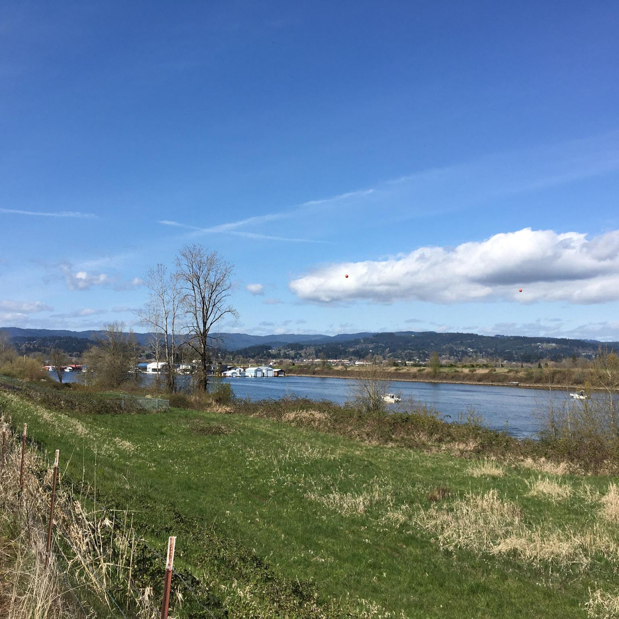
Road cycling around Scappoose offers diverse terrain and scenic routes through lush green landscapes. The region is characterized by its proximity to the Columbia River and Scappoose Bay, providing flat sections along waterways. Further inland, routes can feature rolling hills and views of the Cascade Mountains, including Mount St. Helens and Mount Hood, offering varied elevation gains. The area combines well-paved roads with options for mixed-surface adventures on backroads.
Best road cycling routes around Scappoose
- The most popular road cycling route is Scappoose Bay Loop, a difficult 59.3 miles (95.4 km) trail that takes 3 hours 41 minutes to complete. This route explores the scenic Scappoose Bay area, offering a challenging ride with significant elevation.
- Another top favourite among local road cyclists is Sturgeon Lake loop from Birds to See at Coon Point, an easy 12.3 miles (19.7 km) path. This route provides a gentle ride around Sturgeon Lake, ideal for a shorter outing.
- Local road cyclists also love the View of Saint Johns Bridge – Hawthorne Bridge loop from Goose Hollow/Southwest Jefferson Street, a 54.5 miles (87.7 km) trail leading through urban and riverside landscapes, often completed in about 3 hours 50 minutes.
- Road cycling around Scappoose is defined by the Columbia River, Scappoose Bay, and views of distant mountains. The network offers options for different ability levels, from easy loops to challenging rides with considerable climbs.
- The guide includes highly-rated routes that showcase the best of the region's landscape. More than 40 road cyclists have used komoot to explore Scappoose's varied terrain.
Last updated: August 9, 2026
12
riders
95.4km
03:41
1,070m
1,070m
Hard road ride. Very good fitness required. Mostly well-paved surfaces and easy to ride.
5.0
(3)
83
riders
28.7km
01:06
50m
50m
Easy road ride. Great for any fitness level. Mostly well-paved surfaces and easy to ride.

Sign up for free
13
riders
93.1km
04:39
1,180m
1,180m
Hard road ride. Very good fitness required. Some segments of this route may be unpaved and difficult to ride.
13
riders
Moderate road ride. Good fitness required. Mostly well-paved surfaces and easy to ride.
10
riders
116km
07:13
1,830m
1,830m
Hard road ride. Very good fitness required. Some segments of this route may be unpaved and difficult to ride.
Get access to more routes and recommendations from other explorers.
Sign up for free
Already have an account?
Our route recommendations are based on thousands of hikes, rides, and runs completed by other people on komoot.
Start today with a free account
Your next adventure awaits.
Login or Signup



Tips from the Community

One hell of a climb up here from US 30 on the South end - but worth it! Great views and a decent crossing (once you climb to the bridge itself).
0
0

Built in 1910, the Hawthorne Bridge spans 3,552 feet across the Willamette River with four lanes and is a key part of the city's bike culture. The bridge gives passage to over 30,000 vehicles daily, including 800 TriMet buses, along with more than 8,000 cyclists. During rush hour, bikes can outnumber cars. The wide sidewalks offer great views of the river and skyline. As the oldest vertical-lift bridge in the U.S. and Portland's oldest highway bridge, it was added to the National Register of Historic Places in 2012.
0
0

The Eastbank Esplanade is the longest floating pedestrian and bike path in the United States, stretching 1,200 feet along the Willamette River. It offers great views of the river and the city of Portland.
0
0
The St. Johns Bridge is a steel suspension bridge that stretches across the Willamette River. It has a total length of 2,067 feet, and is the tallest bridge in Portland. Construction began just before the Stock Market Crash of 1929, providing crucial employment to many local residents during the Great Depression.
0
0

The Wayne Naillon Memorial Rest Area is a small picnic area on the Crown Zellerbach Trail. It was created in memory of Wayne Naillon, an integral member of the team that helped to set up the Crown Zellerbach Trail. There is a commemorative sign for Wayne at this spot as well.
0
0

The Eastside Viewing Platform in the Sauvie Island Wildlife Area looks out over the waters of Sturgeon Lake. You have to bike about a hundred yards down an extension of the main paved road to get here.
0
0

The land alongside this stretch of road is a mix of dense Douglas fir forest and private property. Watch out for deer! If you're feeling triathlon-y, there are some hiking/running trails that wind into the forest too.
0
0

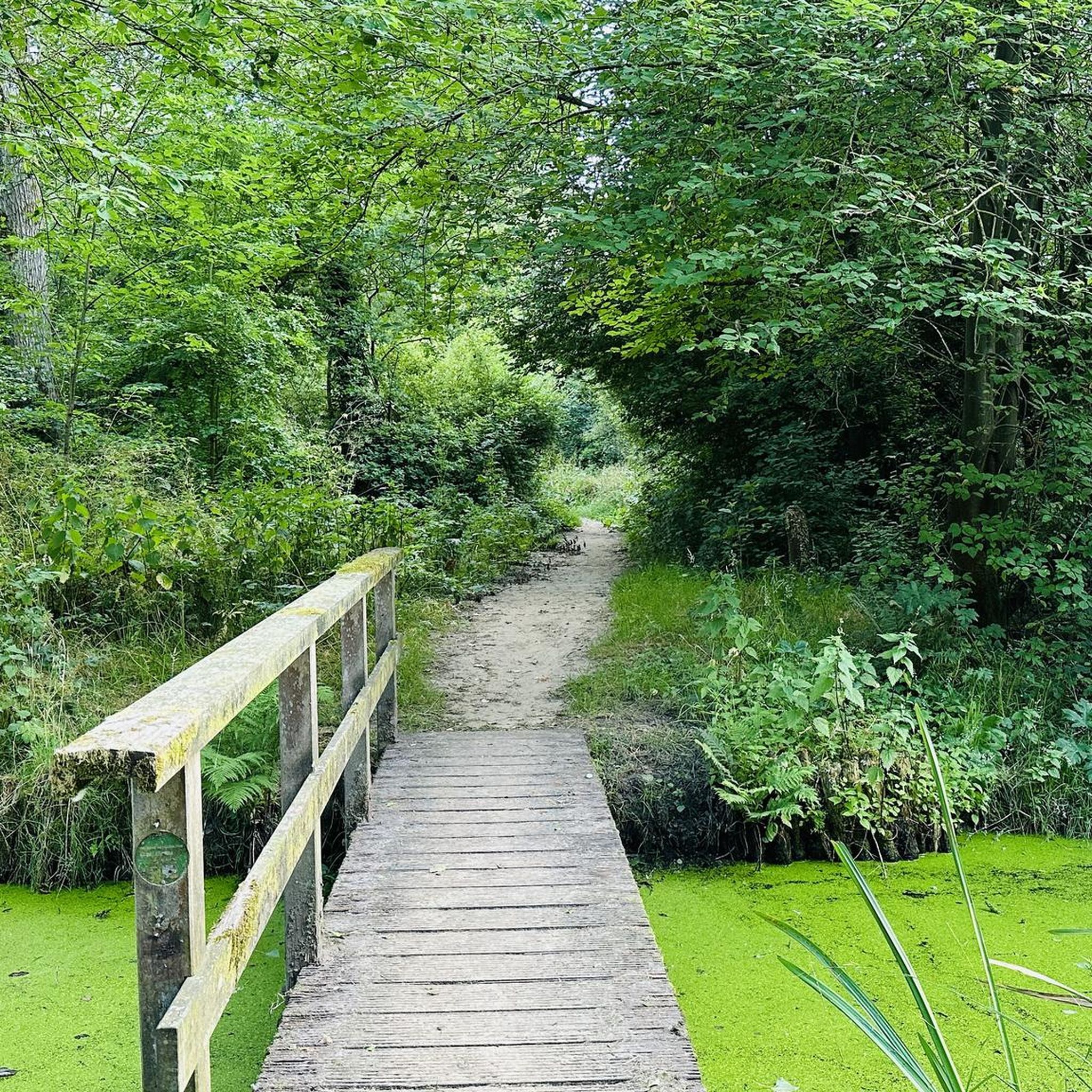
This quiet road is a joy to cycle with trees lining both sides of it. With little traffic to worry about and plenty of nature to immerse yourself in, it is a great stretch to peacefully cycle.
0
0
Frequently Asked Questions
How many road cycling routes are available around Scappoose?
There are over 8 road cycling routes around Scappoose listed on komoot, offering a variety of experiences for different skill levels.
Are there easy road cycling routes suitable for beginners in Scappoose?
Yes, Scappoose offers easy routes perfect for beginners. A great option is the Sturgeon Lake loop from Birds to See at Coon Point, an easy 12.3-mile path that provides a gentle ride around Sturgeon Lake.
What are some challenging road cycling routes near Scappoose for experienced riders?
For experienced riders seeking a challenge, the Scappoose Bay Loop is a difficult 59.3-mile route with significant elevation gain. Another demanding option is the Eastbank Esplanade – Hawthorne Bridge loop from Hollywood/Northeast 42nd Avenue, which covers nearly 75 miles with substantial climbs.
What kind of scenery can I expect on road cycling routes around Scappoose?
Road cycling routes around Scappoose offer diverse scenery, from lush green landscapes along the Columbia River and Scappoose Bay to rolling hills with panoramic views of the Cascade Mountains, including Mount St. Helens and Mount Hood. You'll find a mix of well-paved roads and opportunities for mixed-surface adventures on backroads.
Are there any road cycling routes that offer views of notable landmarks or bridges?
Yes, you can enjoy iconic views on routes like the View of Saint Johns Bridge – Hawthorne Bridge loop from Goose Hollow/Southwest Jefferson Street. This route leads through urban and riverside landscapes, showcasing the famous St. Johns Bridge and Hawthorne Bridge.
What is the best time of year for road biking in Scappoose?
Scappoose enjoys a temperate climate with mild, wet winters and warm, dry summers, making it suitable for year-round outdoor activities. The warmer, drier months typically offer the most comfortable conditions for road cycling.
Are there any long-distance road cycling routes available from Scappoose?
For longer rides, consider routes that connect to broader networks. The Willamette Greenway Trail – Eastbank Esplanade loop from Providence Park is a challenging 103-mile route that explores extensive riverside paths and urban areas, offering a significant distance for endurance cyclists.
What are some nearby attractions or points of interest I can visit while road cycling in Scappoose?
While cycling, you can explore natural attractions like Scappoose Bay, a significant natural feature offering scenic views. The area is also surrounded by the majestic Columbia River, providing beautiful backdrops for your rides.
Are there any multi-use trails near Scappoose that road cyclists can access?
Yes, the Crown Zellerbach Trail (Crown Z Trail) is a nearly 22-mile multi-use trail that starts in Scappoose. While it features both gravel and asphalt sections, road cyclists can utilize its paved portions. It offers views of surrounding mountains and access to Chapman Landing. More information can be found on the Scappoose city website.
What do other road cyclists enjoy most about the routes in Scappoose?
Road cyclists using komoot often praise the diverse terrain and scenic beauty of the Scappoose area. The combination of flat sections along waterways and rolling hills with mountain views provides varied and engaging rides for all abilities.
Are there options for less crowded road cycling routes in Scappoose?
For those seeking solitude away from highways, the backroads and logging roads in Columbia County outside Scappoose offer a unique experience. These routes, often a mix of hard-packed dirt and gravel, provide substantial climbs and descents through forests and valleys, rewarding riders with views of the Clatskanie River and distant mountains.
Most popular attractions around Scappoose

Get inspired with the komoot mobile app


Explore more
Browse the best Road cycling routes in other regions.
