The best road cycling routes around Beaverton
4.5
(170)
6,256
riders
59
rides
Road cycling around Beaverton offers a diverse landscape for riders, characterized by its position between the West Hills and the Tualatin Valley farmlands. The region features an extensive network of trails and greenways, providing varied terrain from flat, paved paths along creeks to more challenging routes with elevation gains in the surrounding hills. On clear days, cyclists can experience views of the Coast Range and Mount Hood.
Best road cycling routes around Beaverton
- The most popular road cycling route is…
Last updated: October 30, 2026
6
riders
75.2km
03:00
650m
650m
Moderate road ride. Good fitness required. Mostly well-paved surfaces and easy to ride.
5.0
(1)
61
riders
Moderate road ride. Good fitness required. Mostly well-paved surfaces and easy to ride.

5.0
(1)
18
riders
Moderate road ride. Good fitness required. Mostly well-paved surfaces and easy to ride.
14
riders
25.1km
01:09
170m
180m
Easy road ride. Mostly well-paved surfaces and easy to ride.
4.0
(1)
12
riders
Moderate road ride. Good fitness required. Mostly well-paved surfaces and easy to ride.
Get access to more routes and recommendations from other explorers.
Already have an account?
Our route recommendations are based on thousands of hikes, rides, and runs completed by other people on komoot.
Start today with a free account
Your next adventure awaits.
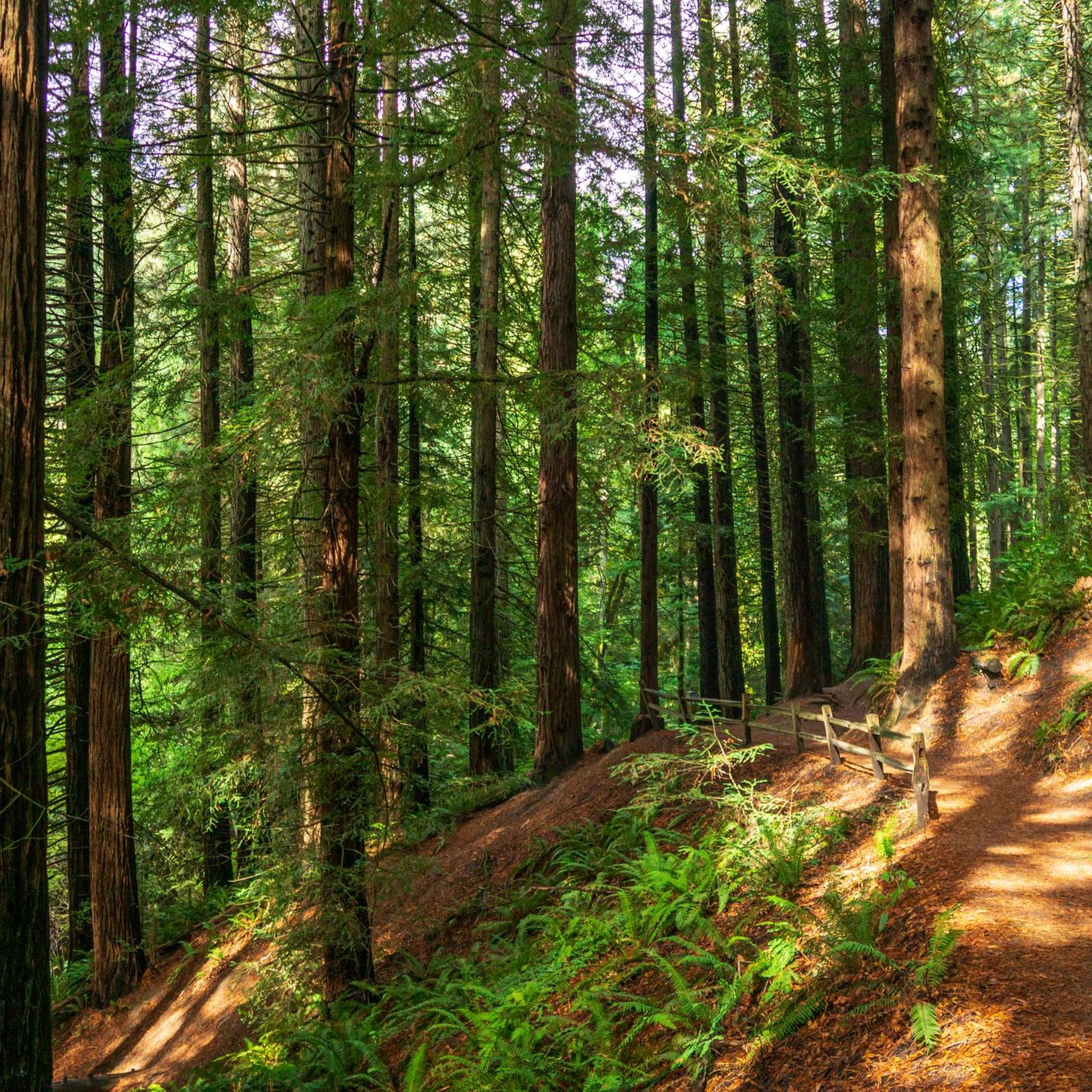
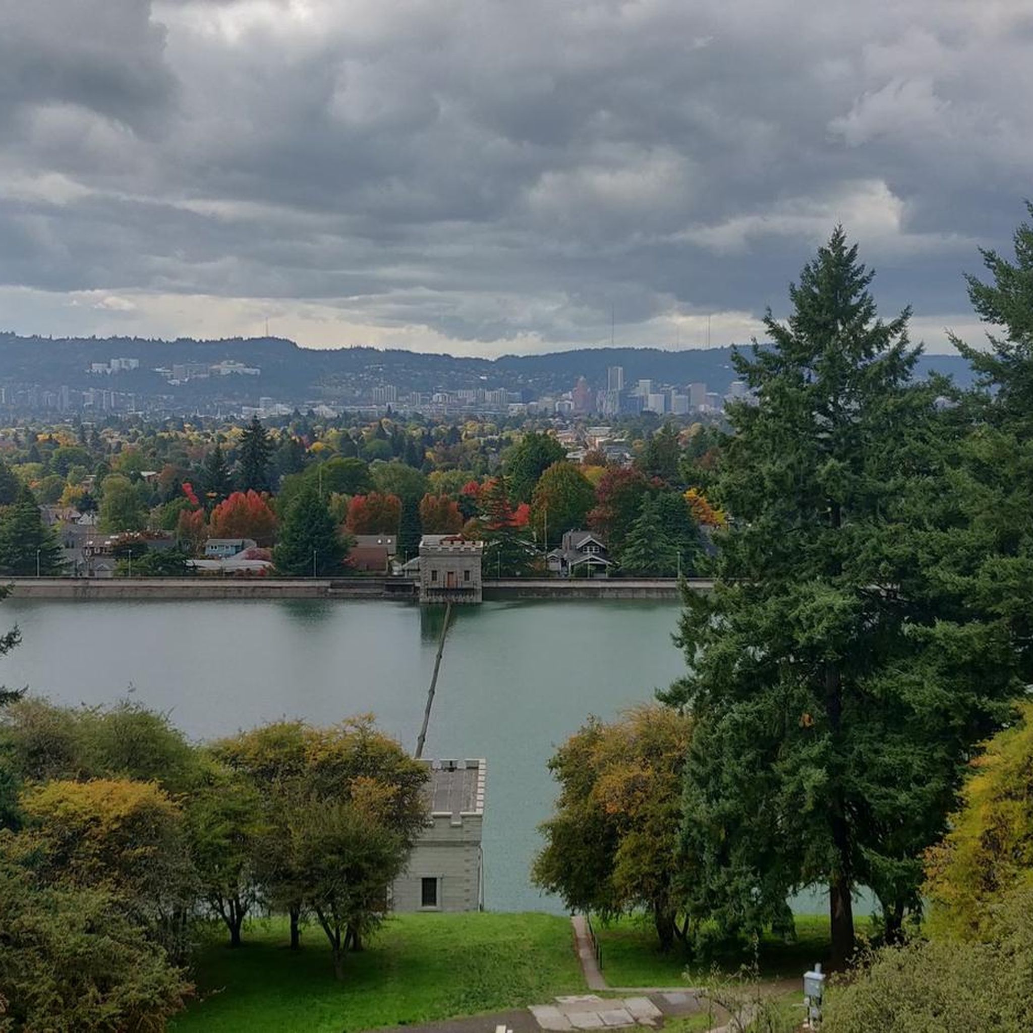
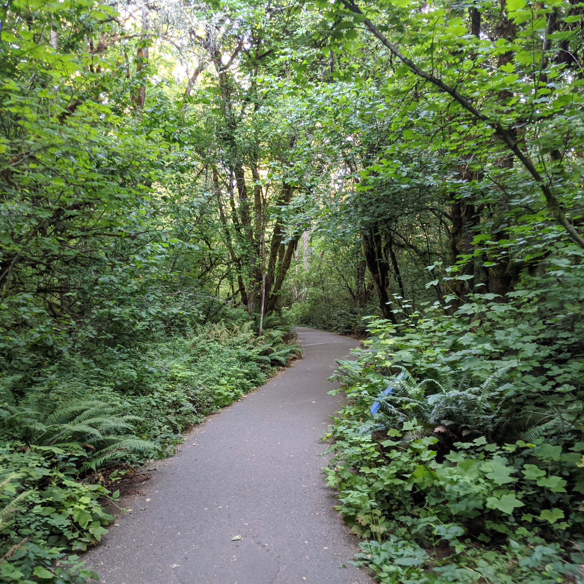
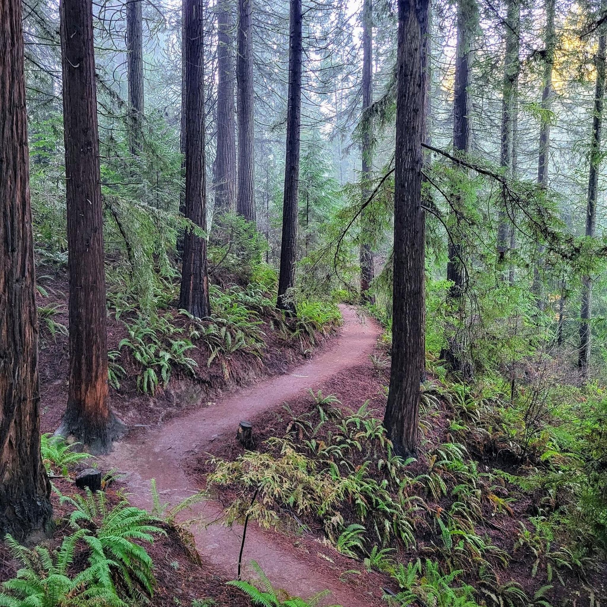

Tips from the Community

Henry Hagg Lake is surrounded by 2,500-acre Scoggins Valley Park, which has more than 14 miles of multi-use trails. But you might enjoy riding the road that wraps around the lake, swooping in and out of the trees as you play peekaboo with views of the water.
0
0
This recreation area just off the road has restrooms, potable water, picnic facilities, and a bike repair hub that includes basic tools, a workstation and a charger for small electronics. There's also a fishing pier, and you may see people using the boat ramp to launch motorized watercraft.
0
0
This little beach is a great spot to park your bike and enjoy a picnic. You'll find picnic tables, restrooms, loaner personal flotation devices, and a "bike hub" with basic tools and workstation for on-the-go maintenance needs.
0
0

Tilikum Crossing, Bridge of the People, is a cable-stayed bridge designed by TriMet for MAX Orange Line trains, buses, streetcars, cyclists, pedestrians, and emergency vehicles. Opened on September 12, 2015, it prohibits private cars and trucks, making it the first major U.S. bridge built for transit and non-motorized traffic only. Named after the Chinook word for "people," it was the first new bridge over the Willamette River in Portland since the Fremont Bridge in 1973. Construction began in 2011.
0
0
Cedar Mill Park is a green oasis, offering amenities such as a tennis court, a soccer field, picnic tables, and a playground. If you need a ride break, you will find a portable toilet and a drinking fountain within the park grounds.
0
0

Cedar Mill Creek Greenway is a paved path that connects the NW Cornell Road with Cedar Mill Preserve, making a loop around the Timberland neighborhood. Along the greenway, you can find overlook points, a picnic gazebo, the Cedar Mill Creek Overlook Park and Sue Conger Boardwalk.
0
0
Cedar Mill Falls is a lovely waterfall that can be easily accessed through a wooden platform from Northwest Cornell Road. The falls are very picturesque and it can be a nice place to stop by while cycling. The platform system is very short but it does have stairs, so you might need to walk with the bike in small sections.
0
0

You gain a lovely view of this farm barn whilst cycling around the bend here. If you're lucky you might see some farm animals such as llamas and chickens!
0
0
Frequently Asked Questions
How many road cycling routes are available around Beaverton?
Beaverton offers a wide selection of road cycling routes, with over 170 options available on komoot. The region is known for its extensive network of trails and greenways, providing diverse terrain for riders of all levels.
What kind of terrain and difficulty can I expect on road cycling routes in Beaverton?
Road cycling around Beaverton features varied terrain, from flat, paved paths along creeks to more challenging routes with significant elevation gains in the surrounding West Hills. You can find routes ranging from easy to difficult, with 15 easy, 46 moderate, and 9 difficult routes listed on komoot. For instance, the St. Johns Bridge – View of Saint Johns Bridge loop from Sunset Transit Center is a difficult 91.3 km path with nearly 1000 meters of elevation gain, while the Lake Oswego Loop offers a moderate 75.2 km ride.
Are there scenic road cycling routes with good views in Beaverton?
Yes, Beaverton offers many scenic routes. On clear days, cyclists can enjoy views of the Coast Range and even Mount Hood. The region is nestled between the West Hills and Tualatin Valley farmlands, providing a beautiful backdrop. Routes like the Council Crest loop from Sunset Transit Center can lead to panoramic viewpoints like Council Crest, offering views of the city and Cascade peaks.
What are some notable landmarks or attractions along Beaverton's road cycling routes?
Many routes follow natural corridors like Fanno Creek, offering a calm atmosphere. You can also find attractions such as the Hoyt Arboretum, a significant natural monument, or the Tualatin Hills Nature Park, a 222-acre wildlife reserve. The Fanno Creek Trail – Hoyt Arboretum loop from Hall/Nimbus is one route that passes by the arboretum.
When is the best time of year for road cycling in Beaverton?
May and July are recognized as the most popular months for cycling in Beaverton, suggesting favorable weather conditions. However, the extensive network of trails and greenways can be enjoyed throughout much of the year, depending on seasonal weather.
Are there family-friendly road cycling options in Beaverton?
Beaverton is a bike-friendly community with many multi-use trails suitable for families. The Fanno Creek Trail, for example, offers shaded sections and connects various parks, making it a good option for a relaxed family ride. The city also hosts an annual family-friendly "Bike Beaverton" event to promote cycling safety and enjoyment.
What do other road cyclists enjoy most about road cycling in Beaverton?
The road cycling routes in Beaverton are highly rated by the komoot community, with an average score of 4.4 stars from nearly 20 reviews. Over 700 road cyclists have used komoot to explore the varied terrain, often praising the extensive multi-use trails, scenic greenways like Fanno Creek, and the rolling terrain of the West Hills that offer options for different ability levels.
Are there circular road cycling routes available in Beaverton?
Yes, many road cycling routes in Beaverton are designed as loops, allowing you to start and end at the same point. Examples include the Lake Oswego Loop and the Northwest Rock Creek Road – View of Cornelius Pass loop from Sunset Transit Center, both offering a complete circular experience.
Is public transport accessible to Beaverton's cycling routes?
Beaverton's commitment to being a bike-friendly community often includes consideration for accessibility. Many routes, like those starting from the Sunset Transit Center, are designed to be accessible via public transport, allowing cyclists to reach starting points easily.
Where can I find information about parking for bike trails in Beaverton?
Many parks and trailheads throughout Beaverton offer dedicated parking facilities. For specific routes, it's advisable to check the route details on komoot or local park websites for parking availability near your chosen starting point.
Are there any specific events or initiatives promoting cycling in Beaverton?
Beaverton is a silver-certified "Bike-Friendly Community" by the League of American Bicyclists. The city actively promotes cycling through initiatives like the annual family-friendly "Bike Beaverton" event, which focuses on cycling and road safety. More information can be found on the city's official bicycling page: beavertonoregon.gov.
Most popular routes around Beaverton
Most popular attractions around Beaverton

Get inspired with the komoot mobile app


Explore more
Browse the best Road cycling routes in other regions.
