The best walks and hikes around Willingen
4.6
(380)
1,197
hikers
28
hikes
Hiking around Willingen offers a diverse low mountain range landscape, characterized by extensive networks of quality trails. The region encompasses varied terrain, including beech and fir forests, expansive high heath areas, meadows, and valleys. It features hills and mountains, providing varied elevations for hikers. This landscape is shaped by the convergence of the Hochsauerland, the Diemelsee Nature Park, and the Waldecker Land.
Best hiking trails around Willingen
- The most popular hiking route is View from Fuchskaute – Fuchskaute Nature Reserve…
Last updated: September 24, 2026
4.6
(18)
72
hikers
Easy hike. Great for any fitness level. Easily-accessible paths. Suitable for all skill levels.
4.8
(25)
84
hikers
Easy hike. Great for any fitness level. Easily-accessible paths. Suitable for all skill levels.

4.7
(53)
175
hikers
21.4km
05:54
360m
360m
Hard hike. Very good fitness required. Easily-accessible paths. Suitable for all skill levels.
3.9
(10)
33
hikers
11.1km
03:01
160m
160m
Moderate hike. Good fitness required. Easily-accessible paths. Suitable for all skill levels.
4.8
(6)
18
hikers
Moderate hike. Good fitness required. Easily-accessible paths. Suitable for all skill levels.
Get access to more routes and recommendations from other explorers.
Already have an account?
Our route recommendations are based on thousands of hikes, rides, and runs completed by other people on komoot.
Start today with a free account
Your next adventure awaits.
Popular around Willingen
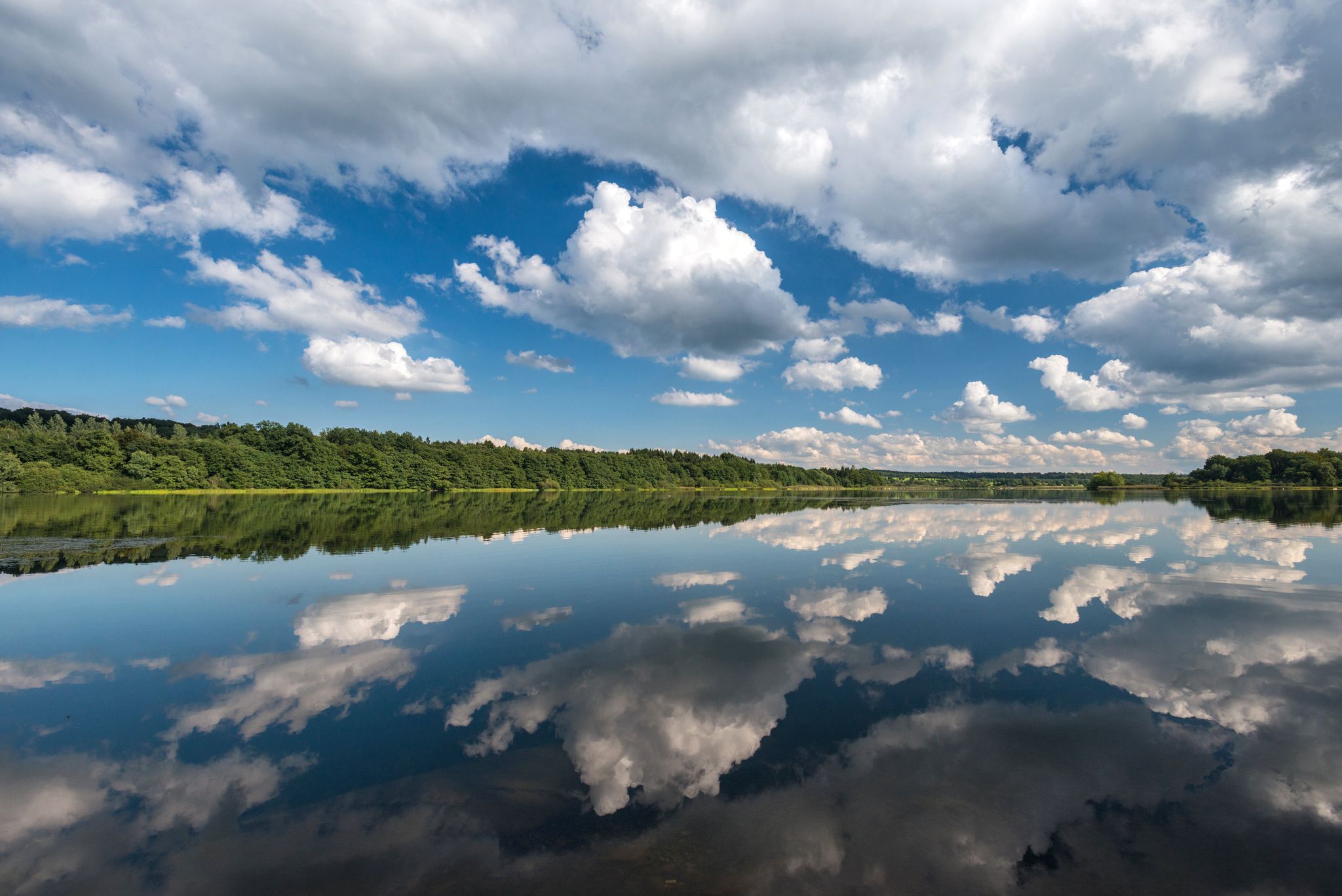
Waterways in Germany’s Westerwald — hiking along rivers and lakes
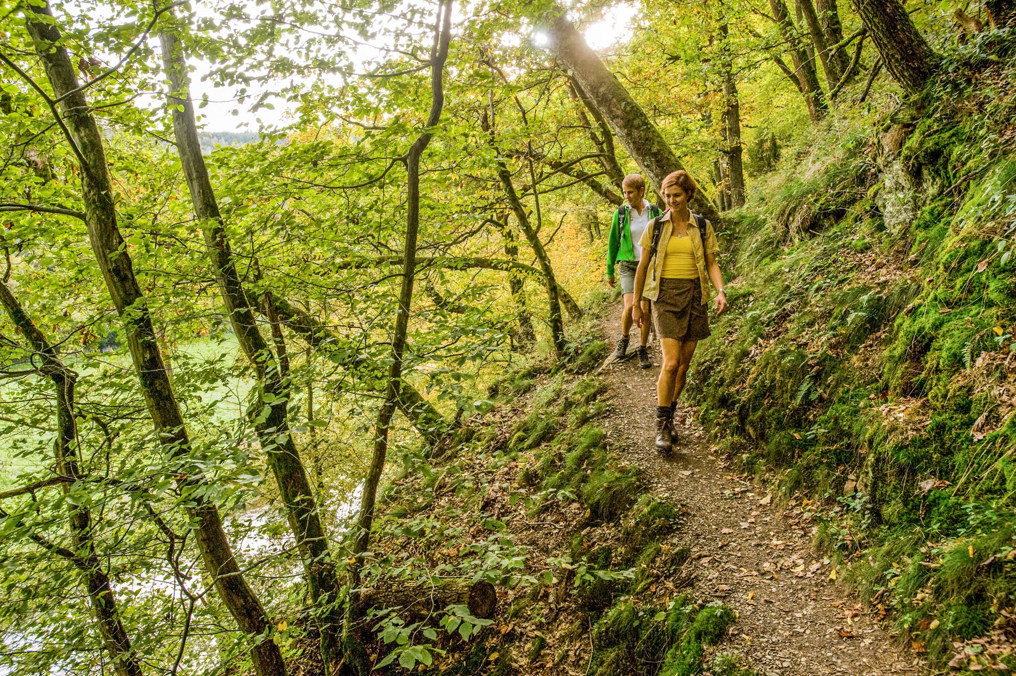
Wonderful unspoilt nature – 12 day hikes in the Westerwald mountains
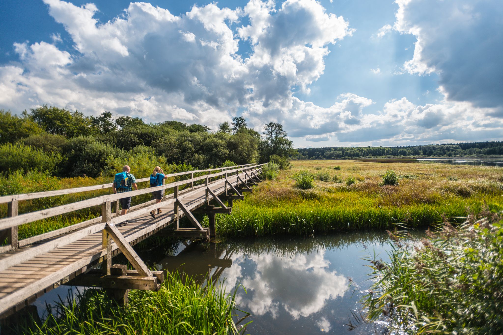
More than just forests – 16 stages on the WesterwaldSteig
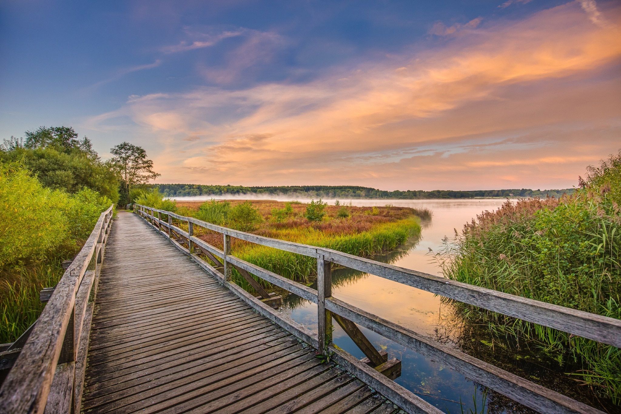
Along rivers and lakes — Germany’s Westerwald waterways
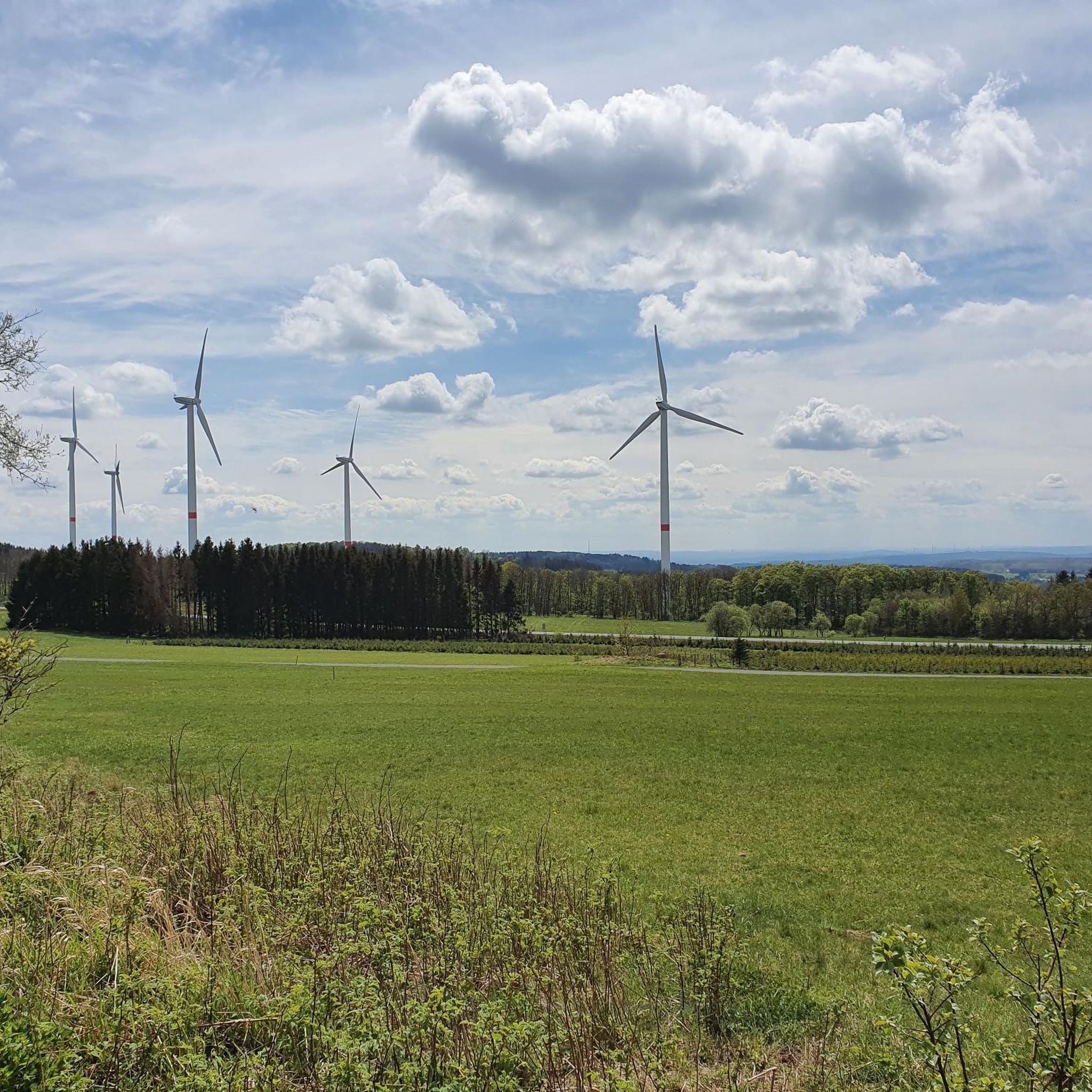
Cycling around Willingen
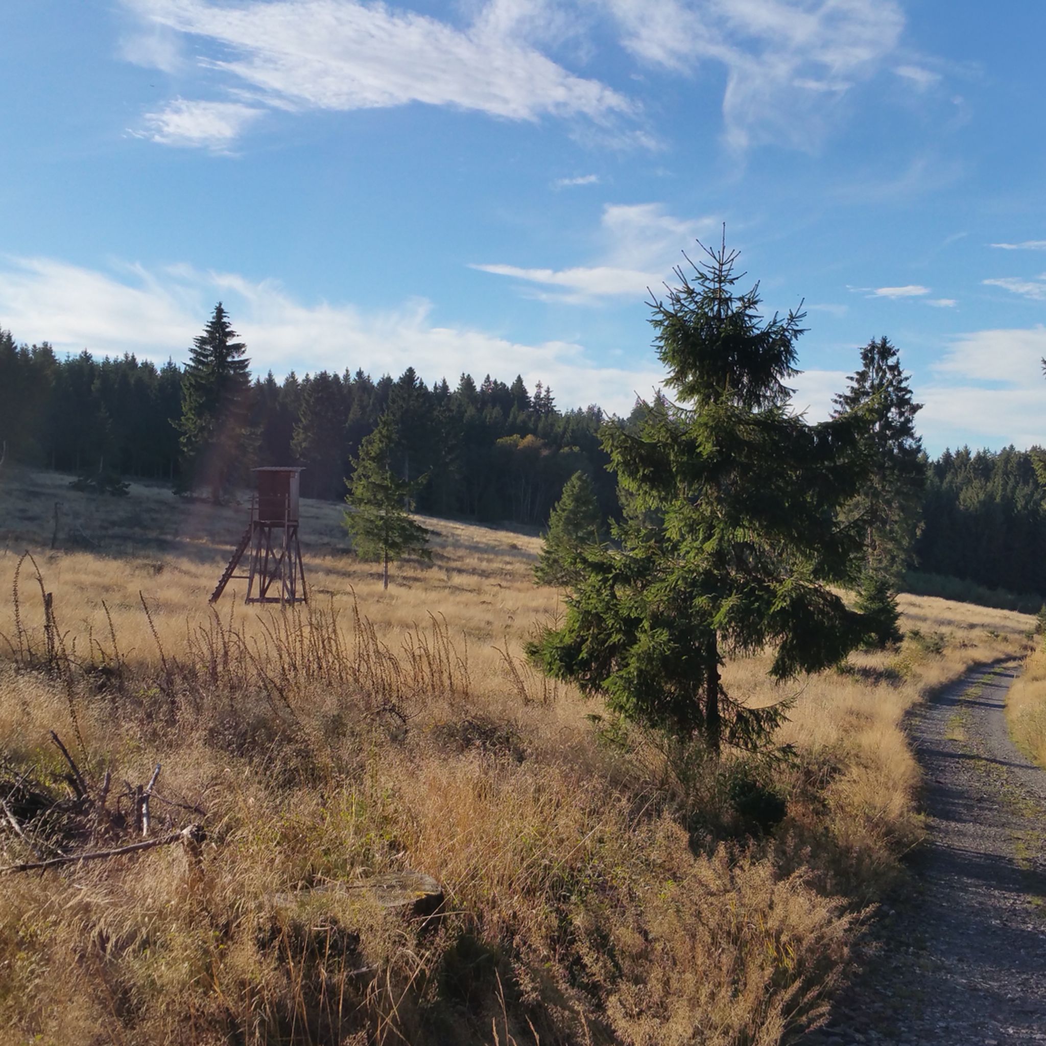
MTB Trails around Willingen
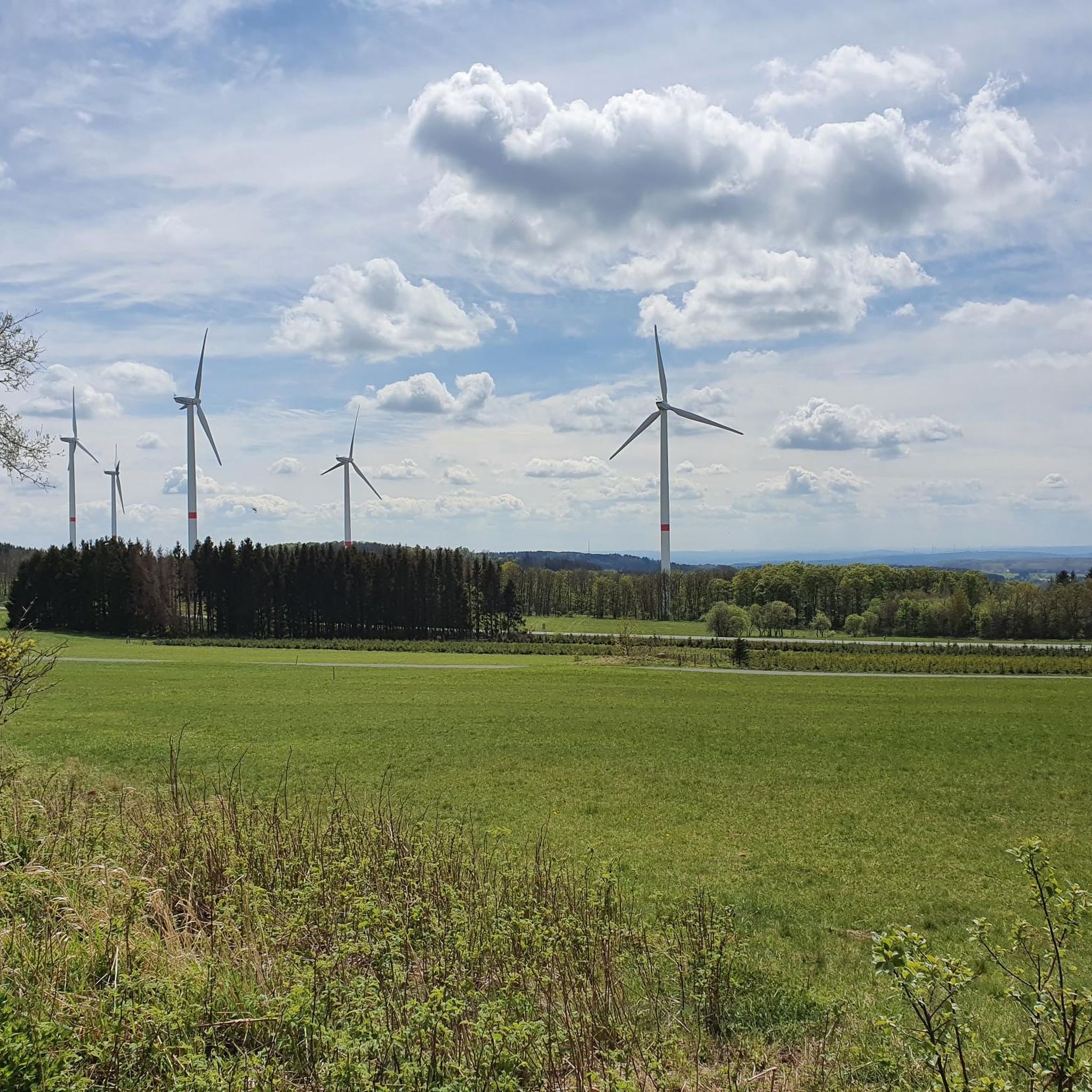
Road Cycling Routes around Willingen

Gravel biking around Willingen
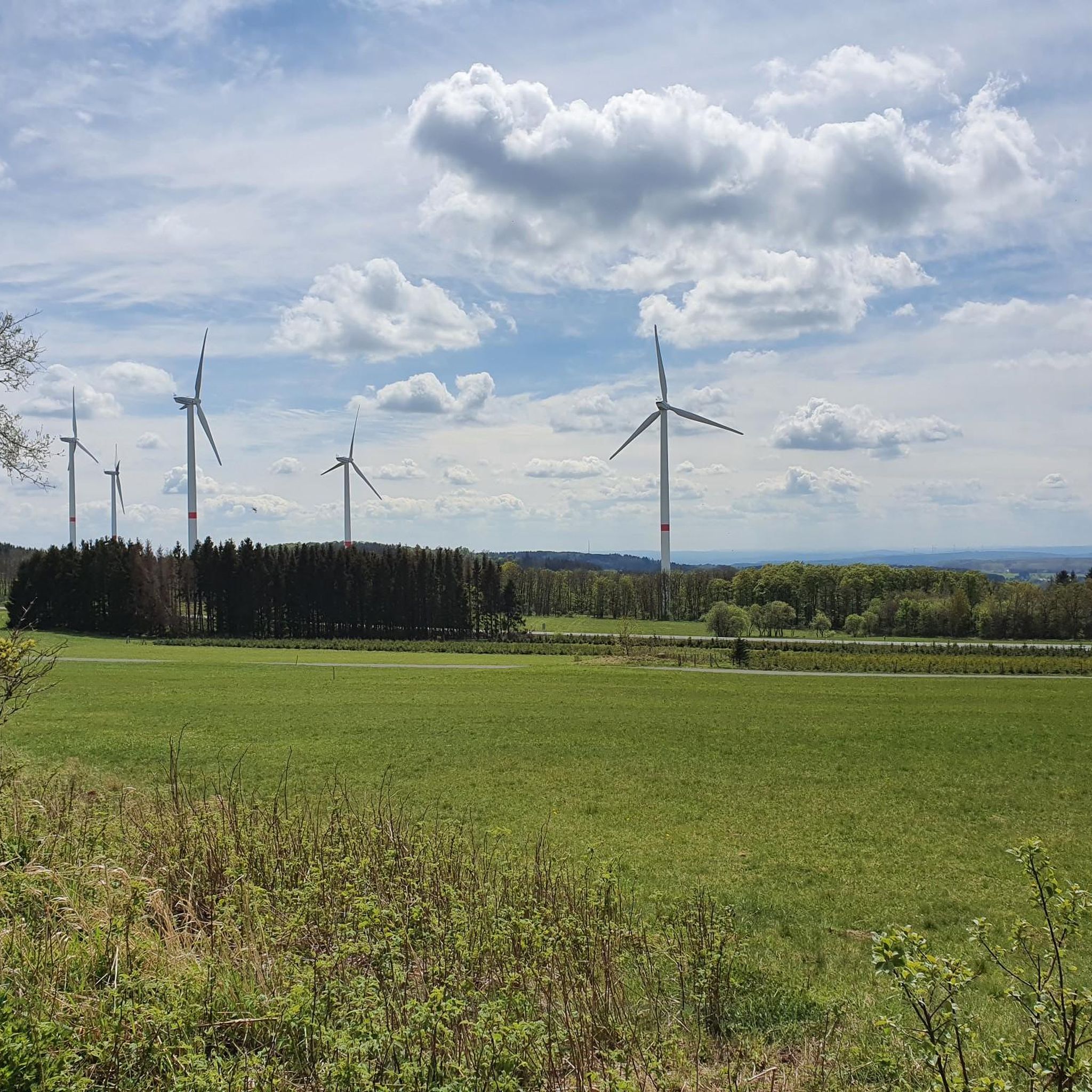
Running Trails around Willingen
Other adventures around Willingen


Tips from the Community

Top airfield area to pursue aviation sports.
0
0
Top view of the surrounding area.
0
0
Unassuming spring directly by the country road, but nicely arranged.
0
0
Top elevation in the high Westerwald.
0
0
Functional picnic group for resting and, for a few weeks now, an XXL bench to enjoy the view a little higher.
0
0
Top. A mountain located 610 m above sea level in the high Westerwald. Anyone who relies on a compass here will go off the right path, as the high iron content irritates every compass needle. The distant view is also very beautiful.
0
0

Interesting rock formation with a breathtaking panorama of the Hohen Westerwald
0
0
Frequently Asked Questions
How many hiking trails are available in Willingen?
Willingen boasts an extensive network of over 300 kilometers of well-maintained hiking paths. On komoot, you can find 27 curated hiking routes, ranging from easy strolls to more challenging treks, all within this diverse low mountain range landscape.
What types of landscapes will I encounter on hikes in Willingen?
The Willingen region offers an exceptionally varied landscape. You can expect to hike through beautiful beech and fir forests, expansive high heath areas, lush meadows, and serene valleys. The terrain also features moorlands, orchid meadows, and impressive mountains, including Langenberg, the highest peak in North Rhine-Westphalia.
Are there easy hiking trails suitable for beginners or families in Willingen?
Yes, Willingen offers 15 easy hiking routes perfect for beginners or families. A great option is the View from Fuchskaute – Fuchskaute Nature Reserve loop from Fuchskaute, an easy 4.1 km trail that explores the Fuchskaute Nature Reserve. Another accessible choice is the View from Fuchskaute – View of the Westerwald loop from Waldaubach, a 5.7 km path offering scenic views.
What are some challenging hiking options in Willingen?
For those seeking a challenge, Willingen has 3 difficult routes. A notable option is the Fuchskaute Nature Reserve – Bartenstein Rock Formation loop from Willingen. This 21.4 km trail leads through the Fuchskaute Nature Reserve and past the Bartenstein Rock Formation, typically taking around 6 hours to complete.
Are there any circular hiking routes in Willingen?
Many of Willingen's trails are designed as circular routes, allowing you to start and end at the same point. A prominent example is the Uplandsteig, a challenging 64-66 kilometer certified trail that encircles the entire municipality of Willingen, offering varied terrain and numerous viewpoints. For a shorter option, consider the Katzhausen and the Ketzerstein – Fuchskaute Nature Reserve loop from Waldaubach.
What attractions or viewpoints can I find along the hiking trails in Willingen?
Willingen's trails are dotted with impressive attractions and viewpoints. You can visit the Ketzerstein Natural Monument, explore the Buchheller Valley, or discover the Gasseschlucht Gorge. Don't miss the Skywalk Willingen, a suspension bridge offering unique views, or the Hochheideturm on Ettelsberg, considered the most beautiful lookout tower in the Sauerland.
Is Willingen a dog-friendly hiking destination?
Willingen is generally very dog-friendly, with many trails welcoming well-behaved dogs. The diverse landscapes, from forests to open meadows, provide excellent opportunities for you and your canine companion to explore. Always remember to keep your dog on a leash where required and clean up after them.
What do other hikers enjoy most about hiking in Willingen?
The hiking experience in Willingen is highly rated by the komoot community, with an average score of 4.7 stars from over 400 reviews. Hikers frequently praise the region's diverse low mountain range landscape, the extensive network of well-maintained trails, and the breathtaking views from various vantage points like the Ettelsberg and Skywalk.
Are there any natural monuments or unique geological features to see?
Yes, the region features several interesting natural monuments and geological sites. You can visit the Ketzerstein Natural Monument or explore the Bacher Lay Basalt Quarry. The area's varied terrain, including moorlands and rock formations, adds to its natural appeal.
Can I find places to rest or shelter along the trails?
Yes, the region is equipped with various amenities for hikers. You can find shelters like the Waldaubacher Sagenweg Forest Swing and Shelter or the Shelter Below the Knoten. The Rothaarsteig, which passes through the area, also features unique 'forest sofas' and 'Vesper islands' for relaxation.
What is the best time of year to go hiking in Willingen?
Willingen is an excellent hiking destination year-round. Spring brings blooming meadows, summer offers lush green forests, and autumn transforms the landscape with vibrant colors. Even in winter, many trails are specially prepared for winter hiking, providing a unique experience in the snow-covered scenery.
Most popular routes around Willingen
Most popular attractions around Willingen

Get inspired with the komoot mobile app


Explore more
Browse the best Hikes in other regions.
