The best road cycling routes around Epfendorf
4.5
(453)
5,116
riders
358
rides
Road cycling around Epfendorf offers diverse landscapes at the eastern edge of the Black Forest, characterized by rolling hills, green meadows, and river valleys. The region's topography includes varied elevations, providing both challenging climbs and rewarding descents for cyclists. Notable natural features like the Schlichemklamm and the Neckar River contribute to scenic routes. The area is situated along the Neckar River, where the Neckar cycle path provides opportunities to explore the river's natural sections.
Best road cycling routes around Epfendorf
…Last updated: October 5, 2026
4.0
(3)
41
riders
47.4km
02:10
530m
530m
Moderate road ride. Good fitness required. Mostly well-paved surfaces and easy to ride.
4.0
(1)
35
riders
Moderate road ride. Good fitness required. Mostly well-paved surfaces and easy to ride.

5.0
(5)
24
riders
60.0km
02:48
720m
720m
Moderate road ride. Good fitness required. Some segments of this route may be unpaved and difficult to ride.
4.3
(3)
21
riders
42.7km
02:08
470m
470m
Moderate road ride. Good fitness required. Some segments of this route may be unpaved and difficult to ride.
4.0
(2)
18
riders
41.4km
01:56
450m
450m
Moderate road ride. Good fitness required. Some segments of this route may be unpaved and difficult to ride.
Get access to more routes and recommendations from other explorers.
Already have an account?
Our route recommendations are based on thousands of hikes, rides, and runs completed by other people on komoot.
Start today with a free account
Your next adventure awaits.
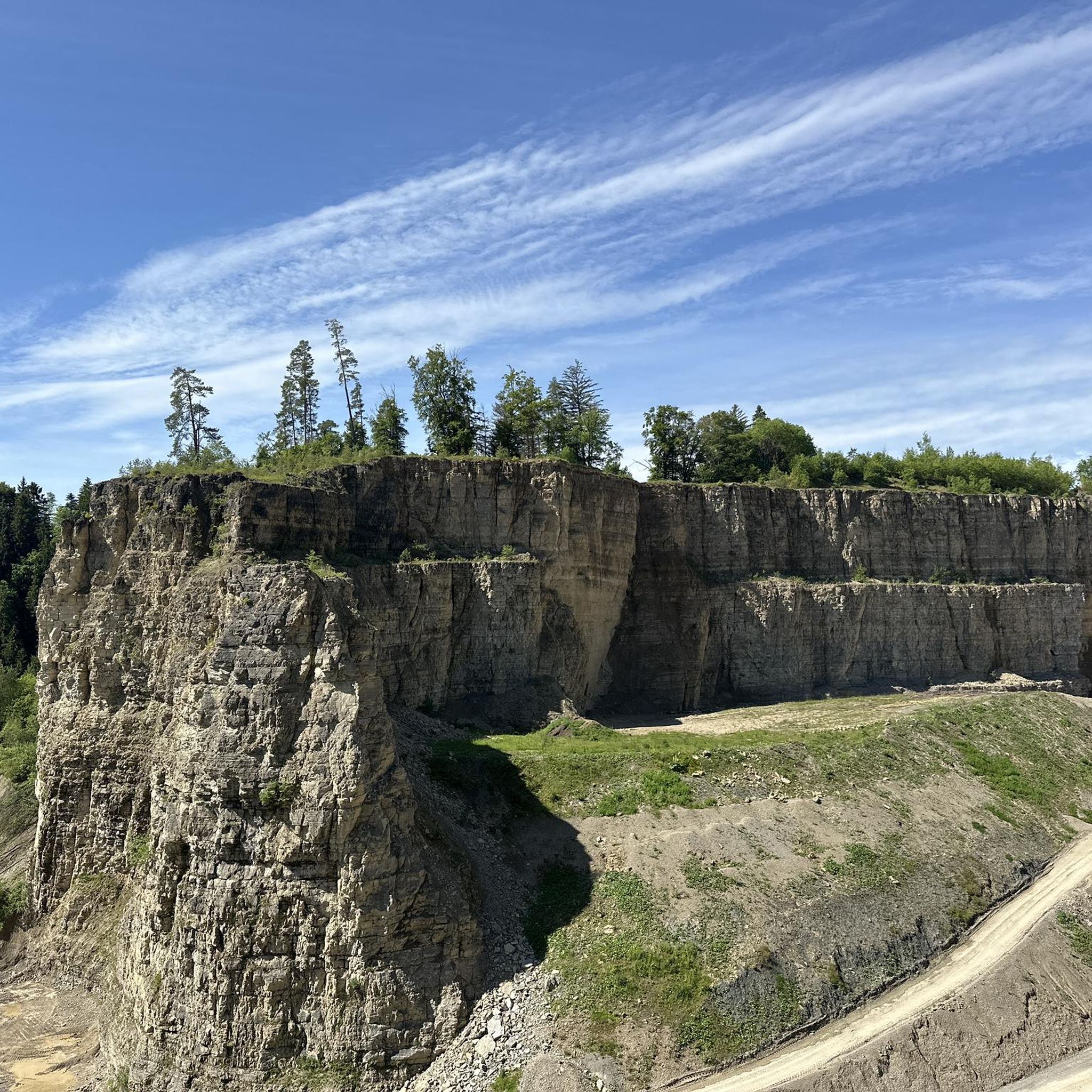
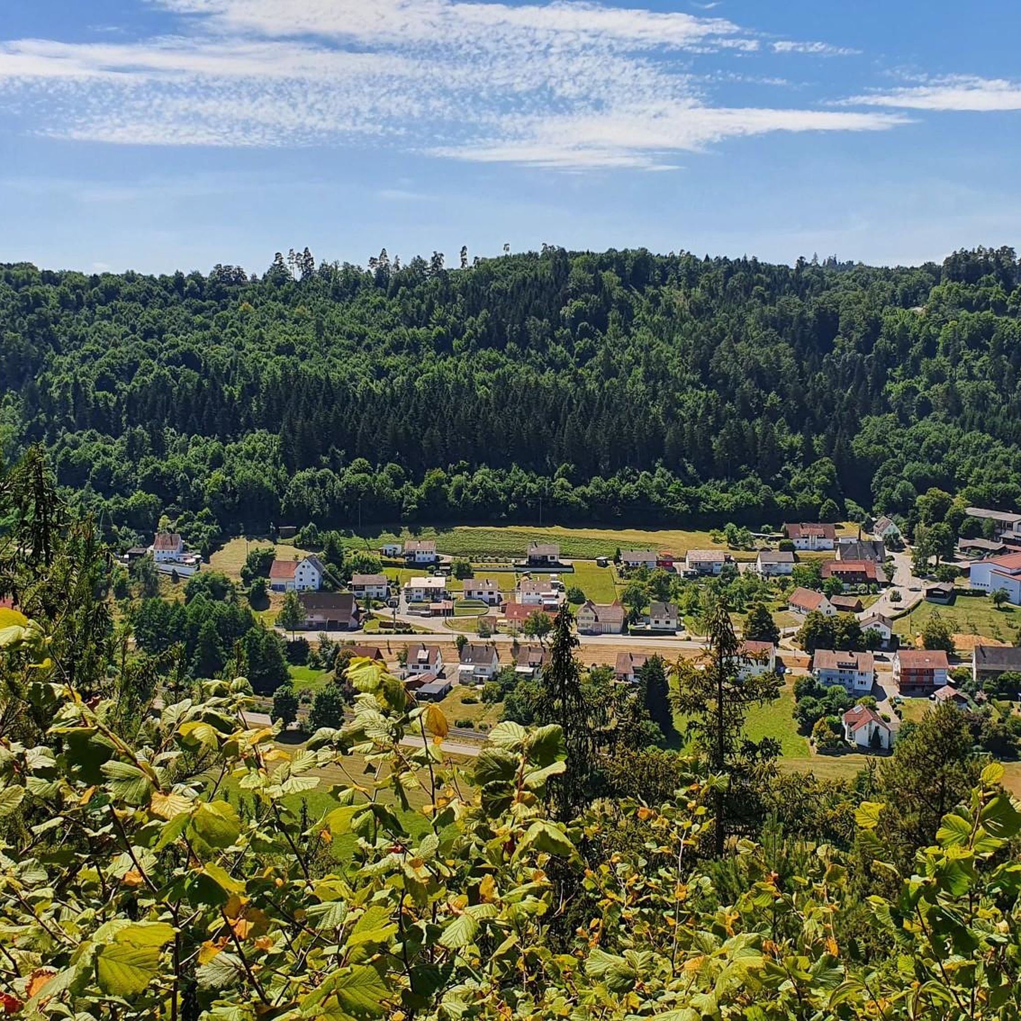
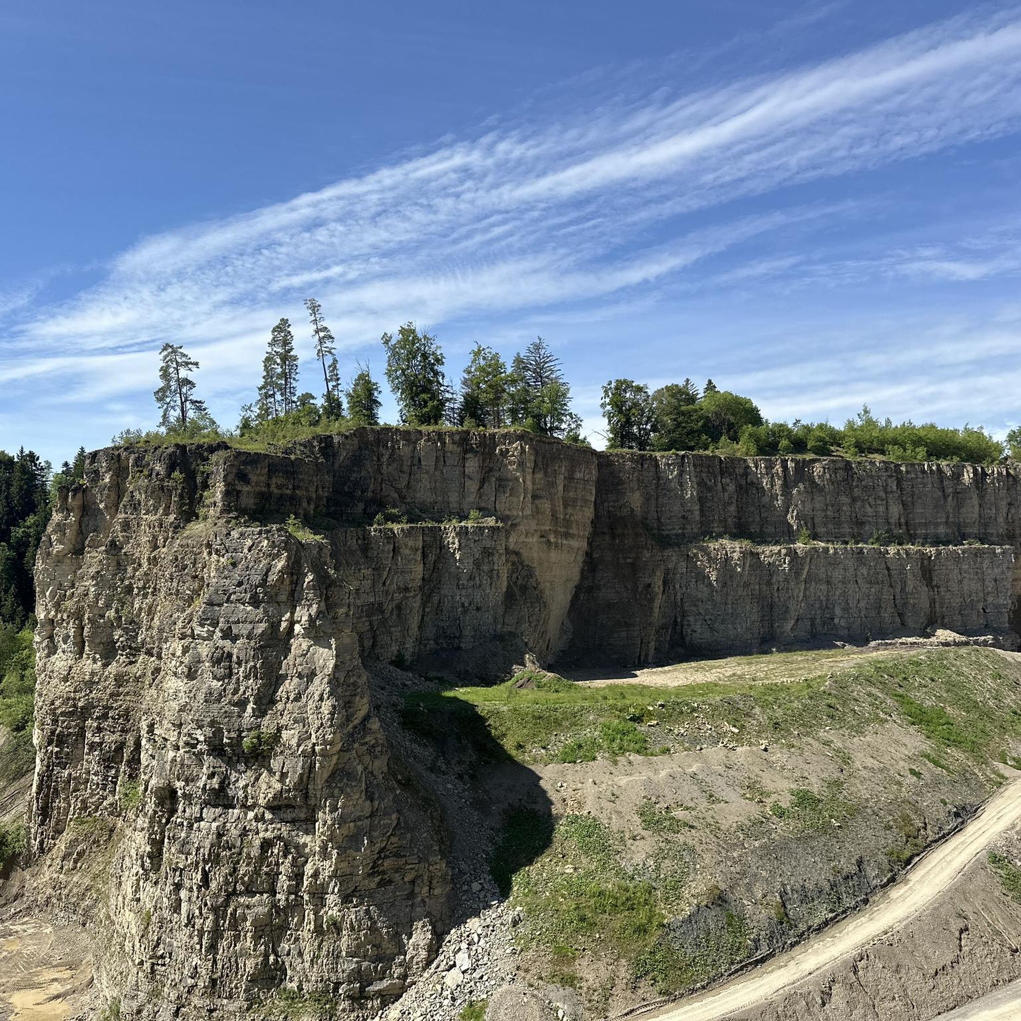
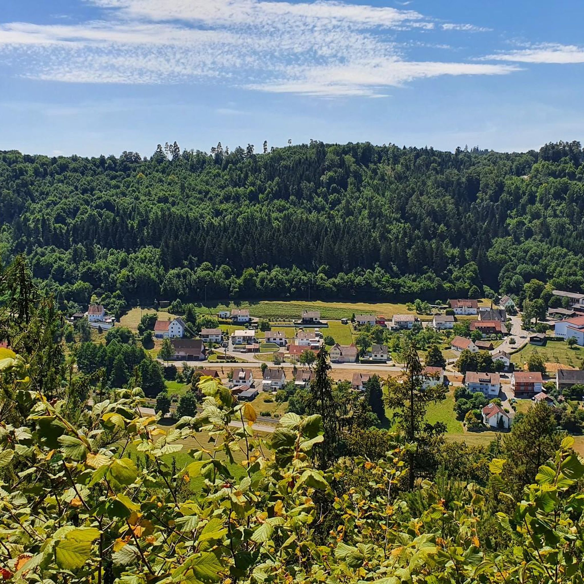
Tips from the Community

Statues of the Rottweiler Dog These statues were erected in honor of the Rottweiler dog breed. The Rottweiler dog has a historical connection to the city, as this breed was bred there and originally used as a droving and guard dog. The statue symbolizes this connection and is a popular attraction for visitors and residents of the city. The statues of the Rottweiler dog can be found in several locations. One is located in the upper main street in front of the city museum, and another is near the playground in Nägelesgraben. There are also statues that are set up as barriers between the street and pedestrians during festivals. Many residents also have a statue of the Rottweiler dog in their home. Source: https://www.visitrottweil.de/sehen-erleben/sehenswuerdigkeiten-orte/statuen-des-rottweiler-hundes/
0
0
The Obere Hauptstraße is a pedestrian zone. Together with the Untere Hauptstraße, the Friedrichsplatz and the Hochbrücktorstraße, the Obere Hauptstraße forms the historic street intersection of Rottweil. Source: https://www.rottweil.net/wiki/Ansichten/Innenstadt/ObereHauptstrasse
1
0
The TK Elevator Test Tower (own spelling: TK Elevator Testturm Rottweil) in Rottweil is a 246-meter-high elevator test tower for express and high-speed elevators. Built from 2014 to 2017 by Thyssenkrupp Elevator, the tower offers Germany's highest visitor platform at 232 meters and is the world's second-highest test tower for elevator systems. Including the underground levels, which are also used as a test environment for the elevator shafts, the shaft has a total length of 275.5 meters. The tower has won numerous architectural, engineering, and design awards and offers several unique features. For example, it is the world's first structure that can be set into oscillation by a vibrating pendulum inside the tower shaft. This way, real wind loads are simulated. The shaft is encased in a special glass fiber textile along a spiral tube, which defines the tower's actual external shape. The tower is thus also the world's tallest textile-clad building. Originally, it was planned to build the tower in the Neckartal industrial area.[5] However, it proved unsuitable due to the results of geological surveys and trial drillings on July 17, 2013. Instead, on September 11, 2013, Thyssenkrupp proposed the Berner Feld industrial area above the valley as an alternative location, about one and a half kilometers north of Rottweil's town center. The Neuhausen production site had not been a possible location due to its proximity to Stuttgart Airport. In addition to the not-too-great distance of about 100 kilometers from the production site, the large number of students and skilled workers in the region, and not least the support from the city of Rottweil, spoke in favor of the chosen location. ...... Source: https://de.wikipedia.org/wiki/TK-Elevator-Testturm#Nutzung
0
0

Neckartal Cycle Path, it's nice to walk along the Neckar there. In some places, you can cross the Neckar almost dry-shod.
0
0

Is always worth a visit, musical events are to be enjoyed
4
0
The Schlichemtalsperre (also known as Schömberger Stausee, mostly just called Stausee locally) east of Schömberg in Baden-Württemberg dams the Schlichem, a tributary of the Neckar coming from the Swabian Jura. The 90.6 ha Schömberger Stausee mit Palmbühl landscape protection area surrounds the Schlichemtalsperre. The approximately 1.35 km long and initially narrow reservoir, widening to about 175 m towards the end, with an area of 10.4 ha at 643.8 m above sea level (NHN), begins at the hamlet of Untere Säge and extends to the old town center of Schömberg. It has a catchment area of about 33.5 km², to which the Schlichem, over 11 km long at its inflow, contributes almost 90%. The watercourses Hölzlegraben from the forest to the right of the lake and Scheubühlgraben and Räßentälebach from the left, up to 1.2 km long, flow into it from the sides. A fish ladder leads from the Vorsee pre-reservoir near Untere Säge to the reservoir. There is also the only bridge over the lake that can be walked and driven on. The Schlichem Viaduct can only be used by the railway. The Schlichemtalsperre was built between 1940 and 1944. The Portlandzementwerk Rudolf Rohrbach KG (today Holcim (Süddeutschland) GmbH), based in neighboring Dotternhausen, which was the client for the dam, initially used it for cooling water supply and power generation. An outdoor swimming pool built in 1935 was flooded. After World War II, the facility was taken over by the state of Württemberg-Hohenzollern in 1948. The reservoir was renovated from 1975 to 1983. The barrier structure is an earth dam, and the hydropower plant within it has an output of 60 kW. There is a pre-reservoir, the Vorsee, which was built from 1975 to 1977. Source: https://de.wikipedia.org/wiki/Schlichemtalsperre
2
0
From the former spinning mill of Buntweberei Sulz
9
0
After the renovation, Stadthalle and commercial area
7
0
Frequently Asked Questions
How many road cycling routes are available around Epfendorf?
There are nearly 400 road cycling routes around Epfendorf, offering a wide variety of options for different preferences and skill levels. The komoot community has explored over 360 routes in the area.
What is the terrain like for road cycling in Epfendorf?
Epfendorf, situated at the eastern edge of the Black Forest in the Upper Neckar Valley, features diverse terrain characterized by rolling hills, green meadows, and river valleys. You'll encounter varied elevations, providing both challenging climbs and rewarding descents. The region is also shaped by the scenic Neckar River and the impressive Schlichemklamm (Schlichem Gorge).
Are there road cycling routes for different skill levels in Epfendorf?
Yes, Epfendorf offers routes for all skill levels. You can find approximately 37 easy routes, around 250 moderate routes, and about 79 challenging routes, ensuring there's something suitable whether you're a beginner or an experienced road cyclist.
When is the best time of year for road cycling in Epfendorf?
The spring, summer, and early autumn months generally offer the most pleasant conditions for road cycling in Epfendorf. During these seasons, the weather is typically mild, and the landscapes are vibrant, making for enjoyable rides through the rolling hills and along the river valleys.
What do other road cyclists enjoy most about road cycling in Epfendorf?
The road cycling routes around Epfendorf are highly rated by the komoot community, with an average score of 4.5 stars from over 400 reviews. Cyclists often praise the diverse landscapes, the mix of challenging climbs and rewarding descents, and the scenic beauty of areas like the Neckar River and the Schlichemklamm.
Are there any scenic viewpoints along the road cycling routes?
Yes, the region offers several scenic viewpoints. For instance, you can find the View of Hohenzollern Castle from Wandbühl Summit Cross or enjoy the View from Schöllkopf. The Schenckenberg Bridge also provides excellent views of the Neckar River, which is particularly natural and picturesque in this section.
Are there any circular road cycling routes around Epfendorf?
Many of the road cycling routes in Epfendorf are designed as circular tours, allowing you to start and end at the same point. An example is the moderate Schömberg Reservoir – Schlichem Dam loop from Bochingen, which covers over 42 km.
Can I find places to stop for a break or a meal along the routes?
Yes, there are options for breaks and refreshments. For example, the Perfect spot for a break – Neckar River Pathway loop from Böhringen is specifically highlighted for its scenic stops. You might also find places like the Bettlinsbad Country Inn or various picnic shelters and barbecue areas, such as the Harzwaldhütte Playground & Barbecue Area, along or near the routes.
What are some longer road cycling routes for experienced riders?
For experienced riders looking for longer distances, routes like the Schömberg Reservoir – Black Gate, Rottweil loop from Bochingen offer a substantial challenge, covering over 62 km with significant elevation gain. Another option is the Brewery J. Hirth Flözlingen – Rottweil Old Town loop from Epfendorf, which is nearly 60 km long.
Are there any routes that follow the Neckar River?
Yes, Epfendorf is situated along the Neckar River, and several routes incorporate sections of the Neckar cycle path. The Perfect spot for a break – Neckar River Pathway loop from Böhringen is a prime example, offering picturesque views of the lush riverbanks and the natural sections of the Neckar.
What natural attractions can I explore while road cycling in Epfendorf?
The region boasts significant natural attractions that enhance the cycling experience. The Schlichemklamm (Schlichem Gorge) and Schlichemtal Nature Reserve, the largest in the Rottweil district, offers impressive rock formations and diverse landscapes. The Neckar River, with its natural sections and the Schenckenberg Bridge, also provides beautiful scenery.
Most popular attractions around Epfendorf

Get inspired with the komoot mobile app


Explore more
Browse the best Road cycling routes in other regions.
