The best road cycling routes around Boston Heights
5.0
(2)
503
riders
36
rides
If you've ever tried to plan road cycling around Boston Heights, you know how overwhelming the options can be. With so many trails and paths, it's hard to tell which routes are genuinely worth your time and effort, and which are just filler. We've been there, sifting through endless maps and reviews, trying to find those truly rewarding rides.
That's where komoot comes in. Our community has ridden, reviewed, and mapped the best road cycling routes around Boston Heights, saving…
Last updated: June 4, 2026
44
riders
If you're seeking a rewarding road cycling experience that combines natural beauty and historical elements, the Beaver Marsh – Nice covered bridge loop in Cuyahoga Valley National Park is a…
21
riders
Moderate road ride. Great for any fitness level. Some segments of this route may be unpaved and difficult to ride.

Sign up for free
6
riders
Moderate road ride. Good fitness required. Some segments of this route may be unpaved and difficult to ride.
11
riders
This route, named the Bike & Hike Trail – East Rim mountain bike trails loop, offers road cyclists a straightforward and scenic ride along the paved Bike & Hike Trail,…
3
riders
53.9km
02:36
650m
650m
Moderate road ride. Good fitness required. Some segments of this route may be unpaved and difficult to ride.
Get access to more routes and recommendations from other explorers.
Sign up for free
Already have an account?
Our route recommendations are based on thousands of hikes, rides, and runs completed by other people on komoot.
Start today with a free account
Your next adventure awaits.
Login or Signup

Tips from the Community

Good alternative parking spot for the towpath if Peninsula lots are full
0
0
the new bike/hike trail path could use some safety barriers at the switch backs. But it is a good improvement
0
0

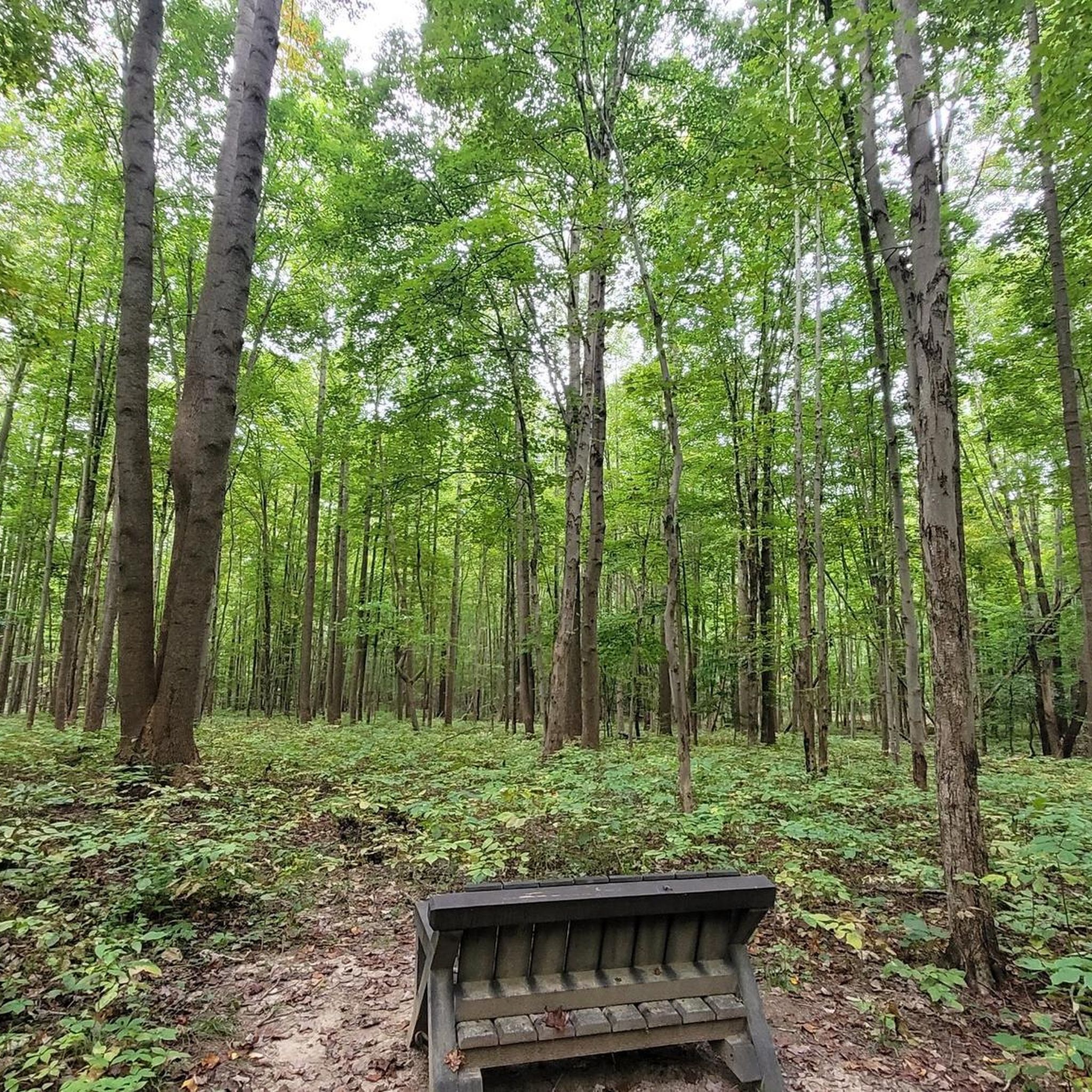
This small observation deck is equipped with benches and offers great place to stop and enjoy a very relaxing view of the Cuyahoga River.
0
0
Bell Tower Brewing Company is the first "neighborhood brewery" in Kent, and offers bike parking along with relaxed, friendly atmosphere to enjoy a post-ride brew or cocktail.
0
0
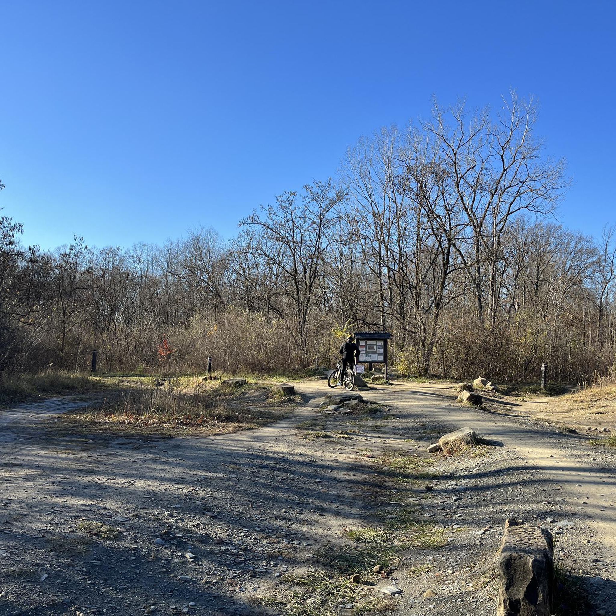
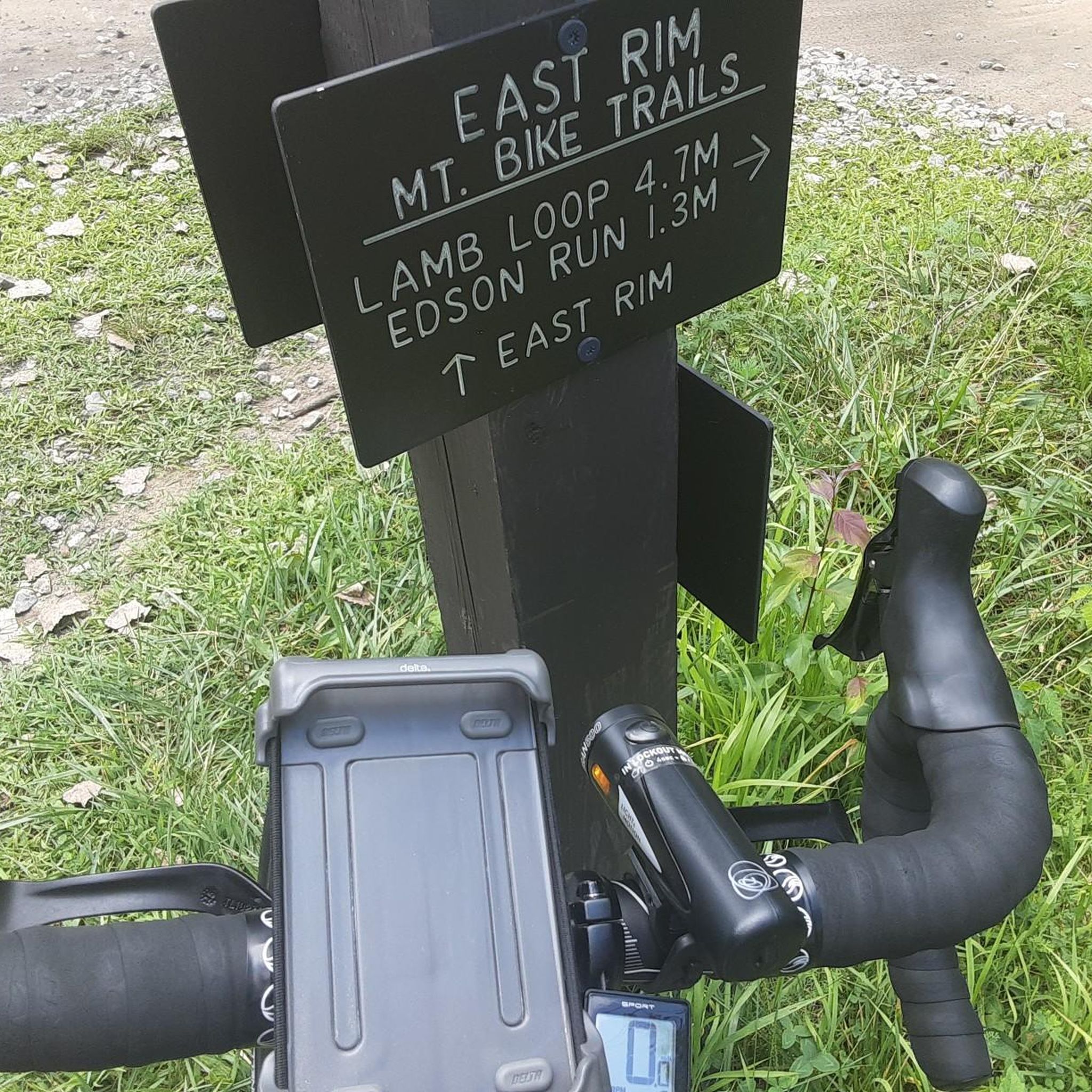
From this trailhead you can access several miles of mountain biking trails. The main trail, Lamb Loop runs about 5 miles with some fun curves and mixed terrain. There are a couple other connector trails offering shorter loops or different terrain as well.
0
0
This new pedestrian bridge offers access to the Freedom Trail over the Cuyahoga river from Middlebury Road.
0
0

This section of the Portage Hike & Bike Trail gives you a view over the Cuyahoga River as you ride along the boardwalk.
1
0

Once upon a time (but really not that long ago), mules walked this towpath as they hauled boats up and down the Ohio & Erie Canal. Nowadays, the towpath is a wonderful multi-use trail that threads alongside the canal and through the occasional bridge, like this one.
0
0
Frequently Asked Questions
What kind of terrain can I expect when road cycling around Boston Heights?
Boston Heights offers a diverse range of terrain for road cyclists. You'll find flat, well-maintained paths like sections of the Ohio & Erie Canal Towpath Trail, which are suitable for leisurely rides. The Bike & Hike Trail also presents varied landscapes. For those seeking more of a challenge, some areas connecting to surrounding regions, such as towards Chagrin Falls, feature hilly terrain with significant elevation gain. For example, the High Point loop includes over 570 meters of elevation gain.
Are there many road cycling routes available in Boston Heights?
Yes, Boston Heights provides a good selection of road cycling routes. There are over 45 routes available, catering to various skill levels. Approximately 15 of these are considered easy, while 30 are moderate, ensuring options for both casual riders and those looking for a more challenging experience.
Are there any notable natural features or landmarks to see while cycling in Boston Heights?
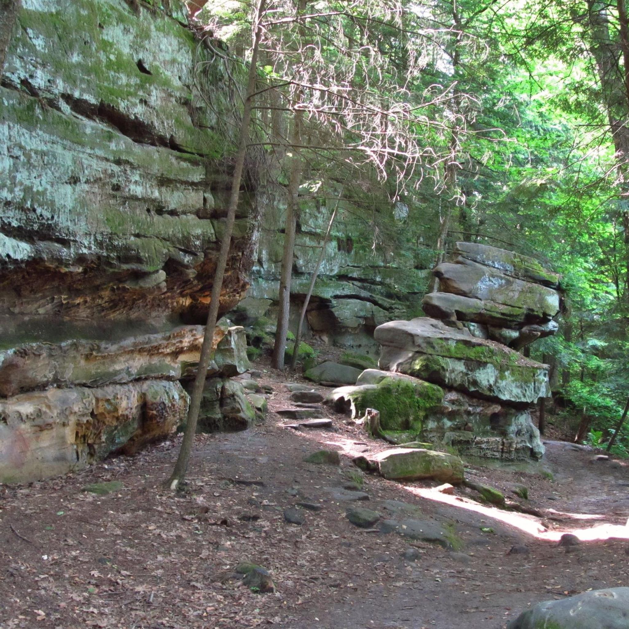
Absolutely. Boston Heights is a gateway to Cuyahoga Valley National Park, offering stunning natural attractions. You can encounter features like the impressive Brandywine Falls, the striking Sharon Conglomerate rock walls of the Boston Ledges along the Bike & Hike Trail, and the serene Blue Hen Falls. The Ohio & Erie Canal Towpath Trail itself is a historic and scenic highlight.
What do other road cyclists enjoy most about cycling in Boston Heights?
The road cycling routes in Boston Heights are highly rated by the komoot community, with an average score of 5.0 stars from over 4 reviews. Cyclists often praise the region's diverse terrain, from flat, scenic towpaths to routes with more challenging elevation, and its proximity to the natural beauty of Cuyahoga Valley National Park.
Are there any easy road cycling routes suitable for beginners or families?
Yes, Boston Heights offers several easy road cycling routes. For instance, the Darrow Lake loop from Bike And Hike Trail Parking is a 13.6-mile (21.9 km) trail with minimal elevation gain, making it a great option for a relaxed ride. Sections of the Ohio & Erie Canal Towpath Trail are also generally flat and well-maintained, ideal for families or those new to road cycling.
Can I find routes that are longer distances for extended road cycling trips?
Yes, you can find longer routes around Boston Heights. The Brecksville-Northfield Bridge – Lock 39, Ohio & Erie Canal loop is a moderate 41.2-mile (66.3 km) path that follows sections of the historic Ohio & Erie Canal Towpath Trail, offering a substantial ride. The region's connectivity to other trails also allows for rides totaling 65-70 miles.
Is parking available at the trailheads for road cyclists?
Yes, parking is generally available at various trailheads. For example, the Darrow Lake loop starts from the Bike And Hike Trail Parking. The Ohio & Erie Canal Towpath Trail also has multiple accessible trailheads with parking facilities. For specific information on the Boston Trailhead, you can visit the National Park Service website: nps.gov.
Are there any circular road cycling routes in the area?
Many of the road cycling routes around Boston Heights are designed as loops, offering a convenient way to start and end your ride at the same point. Examples include the High Point loop and the Brecksville-Northfield Bridge – Lock 39, Ohio & Erie Canal loop, both providing excellent circular options.
What are the best trails for experiencing the natural beauty of Cuyahoga Valley National Park by road bike?
The Ohio & Erie Canal Towpath Trail and the Bike & Hike Trail are excellent choices for experiencing the natural beauty of Cuyahoga Valley National Park. These trails run through diverse landscapes, offering views of the Cuyahoga River, forests, and natural features like the Boston Ledges and access points to waterfalls such as Brandywine Falls.
Are there any routes that offer significant elevation gain for a challenging ride?
For road cyclists seeking a challenging ride with significant elevation gain, the High Point loop is a great option. This 32.9-mile (52.9 km) route features over 570 meters of ascent, providing a robust workout and varied terrain.
Can I access waterfalls directly from road cycling routes?
While some road cycling routes pass near areas with waterfalls, direct access often involves a short walk or detour. For instance, the Bike & Hike Trail passes by Brandywine Falls, and Blue Hen Falls is also in the vicinity of the park's trail network. You can typically park your bike and take a short walk to experience these natural monuments up close.
Most popular routes around Boston Heights
Most popular attractions around Boston Heights

Get inspired with the komoot mobile app


Explore more
Browse the best Road cycling routes in other regions.
