The best road cycling routes around Empfertshausen
4.6
(109)
917
riders
76
rides
Road cycling routes around Empfertshausen are set within the UNESCO Biosphere Reserve Rhön, characterized by a mix of rolling hills, mountains, and picturesque valleys. The region, particularly the Auersberger Kuppenrhön, offers varied terrain suitable for cyclists, including sections utilizing former railway tracks and challenging ascents. This landscape provides diverse cycling experiences, from moderate gradients to more demanding climbs.
Best road cycling routes around Empfertshausen
- The most popular road cycling route is Old Bridge Stadtlengsfeld loop from Kaltennordheim, a 24.6…
Last updated: October 9, 2026
4.8
(5)
36
riders
39.6km
01:55
200m
200m
Moderate road ride. Great for any fitness level. Some segments of this route may be unpaved and difficult to ride.
5.0
(1)
21
riders
50.5km
02:24
540m
540m
Moderate road ride. Good fitness required. Mostly well-paved surfaces and easy to ride.

4.7
(3)
26
riders
23.8km
00:57
120m
120m
Easy road ride. Great for any fitness level. Mostly well-paved surfaces and easy to ride.
4.9
(8)
22
riders
28.9km
01:23
340m
350m
Moderate road ride. Good fitness required. Mostly well-paved surfaces and easy to ride.
5.0
(1)
13
riders
119km
05:02
710m
710m
Hard road ride. Very good fitness required. Some segments of this route may be unpaved and difficult to ride.
Get access to more routes and recommendations from other explorers.
Already have an account?
Our route recommendations are based on thousands of hikes, rides, and runs completed by other people on komoot.
Start today with a free account
Your next adventure awaits.

Tips from the Community

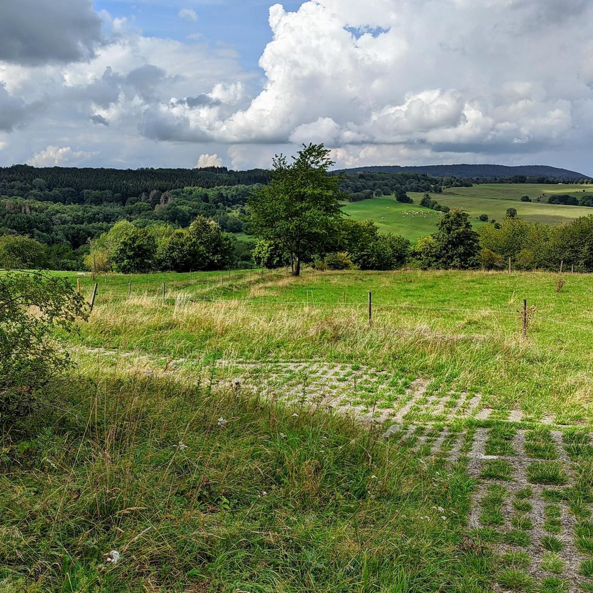
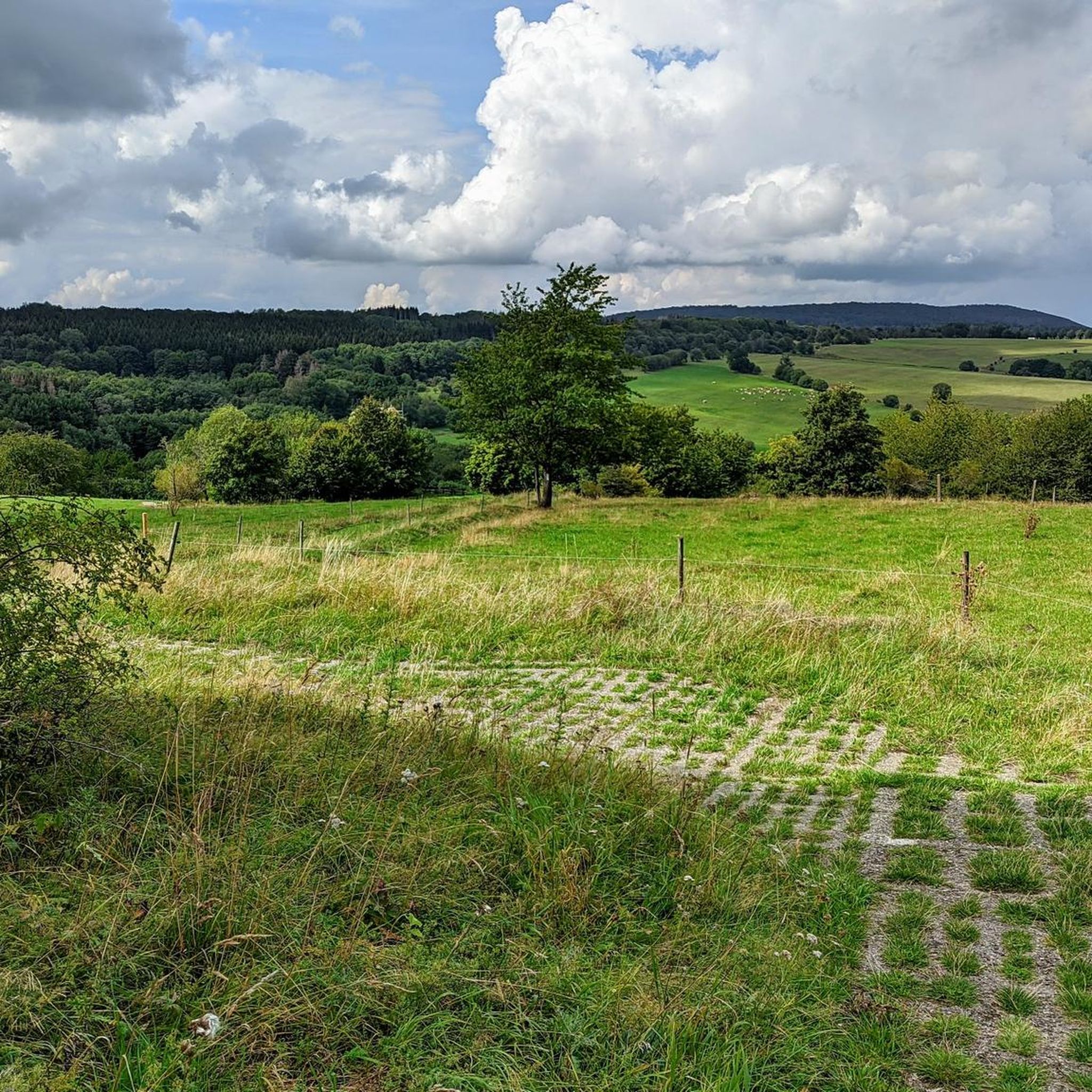
Beautiful cycle path on the old railway line
0
0

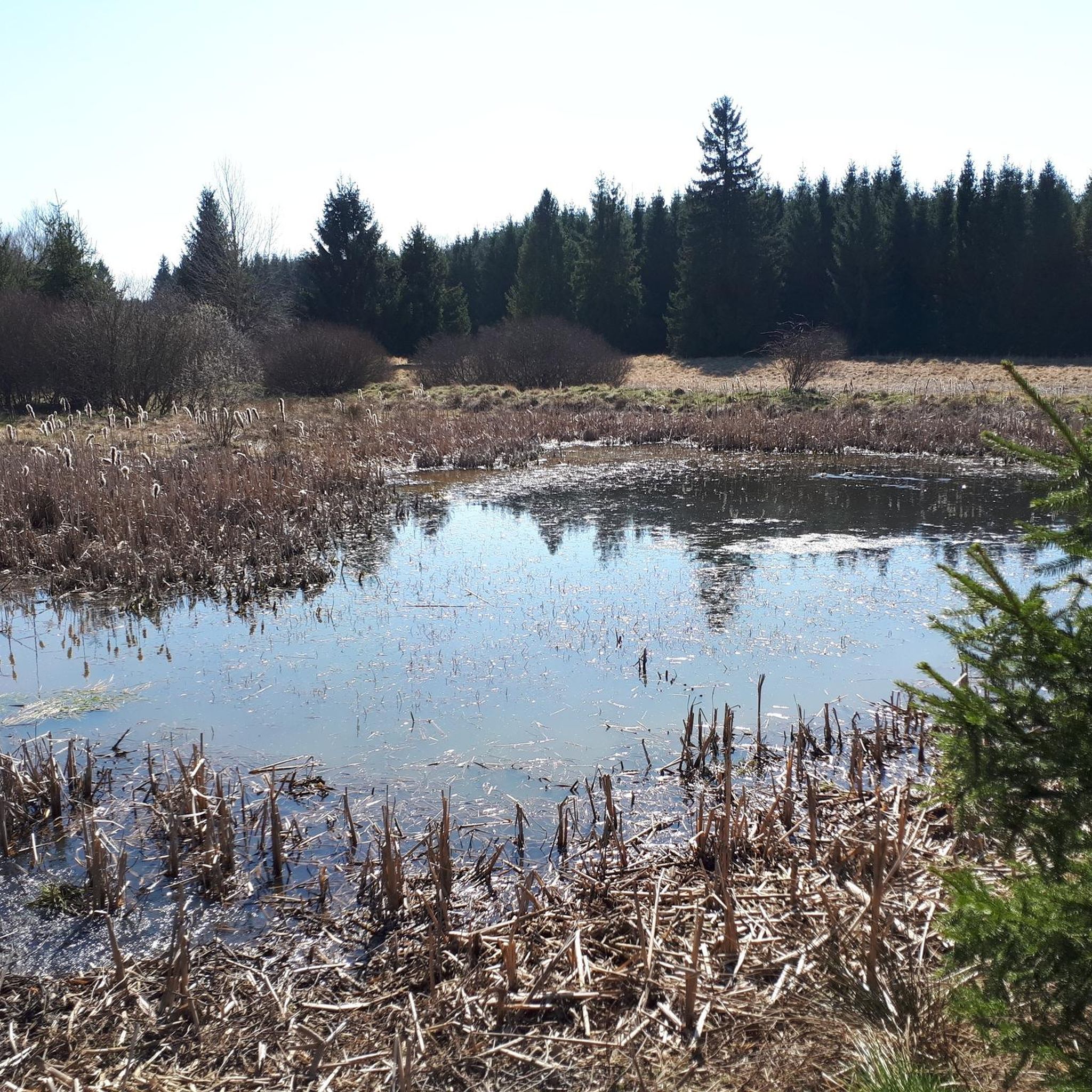
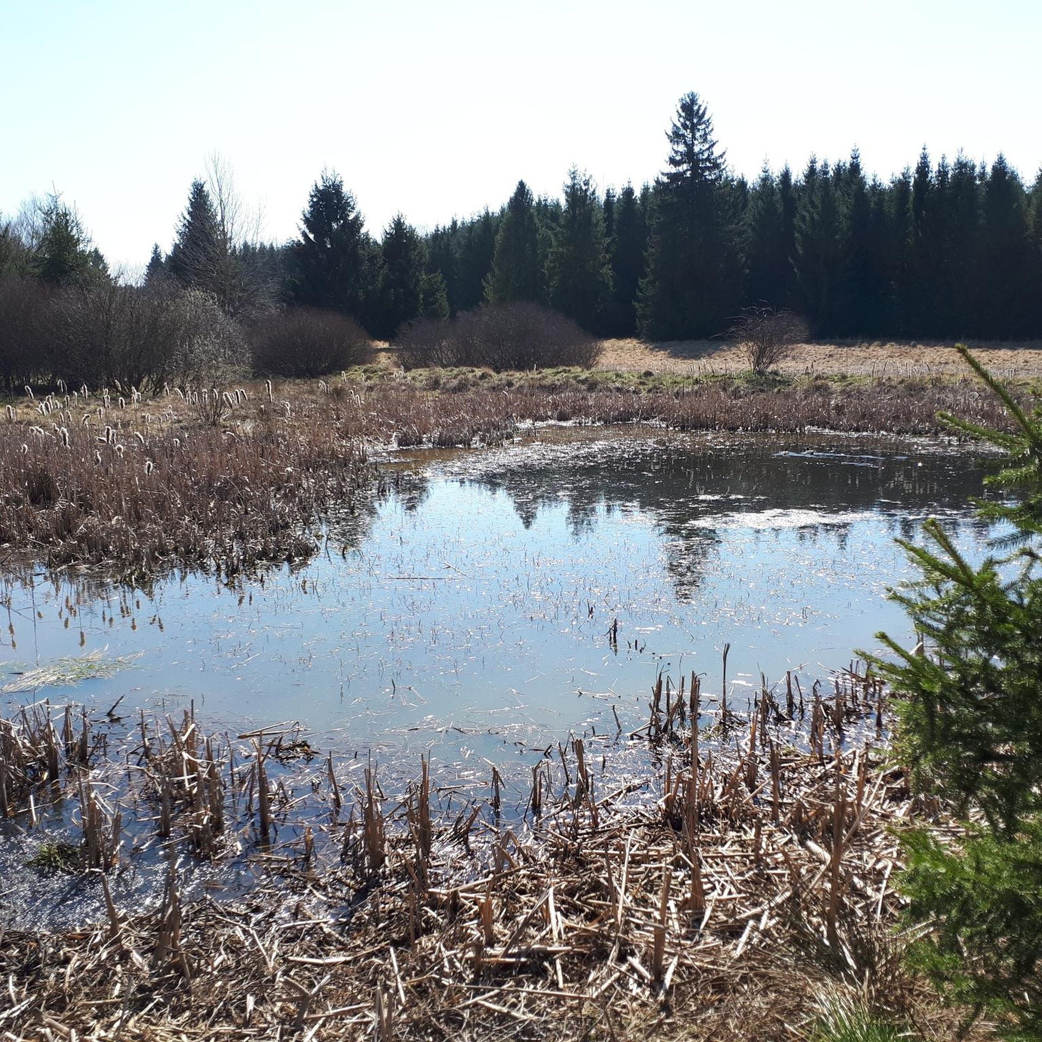
Water feature in Neidhartsha🏞🎡
0
0


old hydroelectric power station
0
0

Refreshment stop located directly on the cycle path.
0
0
Lost place located directly on the bike path.
0
0

Monument in the middle of Tann town centre with an iced coffee right next to it for a break
0
0
Frequently Asked Questions
How many road cycling routes are available around Empfertshausen?
There are over 70 road cycling routes around Empfertshausen, offering a wide range of options for different skill levels and preferences.
What kind of terrain can I expect when road cycling in Empfertshausen?
The region, nestled within the UNESCO Biosphere Reserve Rhön, features a diverse landscape of rolling hills, mountains, and picturesque valleys. You'll find varied terrain, including sections along former railway tracks with moderate gradients, as well as challenging ascents, particularly when crossing the High Rhön.
What are the difficulty levels of road cycling routes in Empfertshausen?
The routes around Empfertshausen cater to all abilities. You can find 7 easy routes, 40 moderate routes, and 32 difficult routes, ensuring there's a suitable challenge for every cyclist.
Are there any long-distance road cycling options in the Empfertshausen area?
Yes, the region is home to the extensive Rhön Cycle Route, an almost 180-kilometer path that traverses the beautiful Rhön landscape. While much of it uses former railway tracks, offering moderate gradients, it also includes challenging ascents for those seeking more demanding long rides.
When is the best time of year to go road cycling in Empfertshausen?
The best time for road cycling in Empfertshausen is typically during the spring, summer, and early autumn months when the weather is most favorable. The varied terrain and scenic views are particularly enjoyable under pleasant conditions.
What natural features or viewpoints can I discover along road cycling routes?
Many routes offer stunning natural sights. You can find panoramic views from the Buchschirmberg summit or the Buchschirmberg Viewing Platform. The Noah's Segel Observation Tower on the Ellenbogen also provides excellent vistas. Additionally, the Horbel mountain, part of the National Natural Monument "Grünes Band," offers unique natural experiences.
Are there any historical or cultural landmarks to see while cycling?
Absolutely. Empfertshausen is known as a "Schnitzerdorf" (carving village) with a rich wood carving tradition. You can also cycle past historical sites such as the Auersburg Castle Ruins, which offer captivating views, or the Grenzturm am Horbel, a former border tower.
Are there family-friendly road cycling routes in Empfertshausen?
Yes, there are 7 easy road cycling routes around Empfertshausen that are suitable for families or beginners. These routes often feature gentler gradients, making them enjoyable for all ages.
Are there circular road cycling routes available?
Many of the road cycling routes around Empfertshausen are designed as loops, allowing you to start and end at the same point. For example, the Old Bridge Stadtlengsfeld loop from Kaltennordheim is a popular moderate circular route.
What do other road cyclists think about the routes around Empfertshausen?
The road cycling routes in Empfertshausen are highly rated by the komoot community, with an average score of 4.7 stars from over 90 reviews. Cyclists often praise the varied terrain and scenic beauty of the UNESCO Biosphere Reserve Rhön.
Can I find routes with significant elevation gain for a challenging ride?
Yes, for experienced riders seeking a challenge, routes like the Immelborn pond – Breitunger Lakes loop from Empfertshausen offer substantial climbing, with over 700 meters of elevation gain over its 119.5 km distance.
Are there easy road cycling routes suitable for beginners?
Beginners can enjoy routes such as the Market Square in Tann – View of Rockenstuhl loop from Tann (Rhön), which is classified as easy and covers a distance of approximately 24 km with moderate elevation.
Most popular routes around Empfertshausen
Most popular attractions around Empfertshausen

Get inspired with the komoot mobile app


Explore more
Browse the best Road cycling routes in other regions.
