The best walks and hikes around Vandalia
4.8
(12)
87
hikers
17
hikes
Hiking around Vandalia offers a variety of outdoor experiences, primarily centered around park systems in Ohio and Illinois, and a multi-county trail in Indiana. The terrain features lush green spaces, serene winding trails, and areas with a canopy of trees. Elevation changes are generally mild, making many routes accessible for various fitness levels. The region's natural features include river corridors, parklands, and some areas with natural springs.
Best hiking trails around Vandalia
- The most popular hiking route is Yellow and Orange Trails loop — Dayton, Ohio, a 5.1 miles (8.2 km) trail that takes 2 hours 12 minutes to complete. This moderate loop features a steady elevation gain of 293 feet (89 meters).
- Another top favourite among local hikers is Green Trail loop via Stillwater River Recreation Trail — Englewood Metropark, a moderate 7.1 miles (11.5 km) path. This route offers varied scenery through Englewood Metropark, often completed in about 2 hours 59 minutes.
- Local hikers also love the Locust Grove Trail loop — Dayton, Ohio, a 1.5 miles (2.5 km) trail leading through parkland, often completed in about 39 minutes.
- Hiking around Vandalia is defined by park trails, river corridors, and wooded areas. The network offers options for different ability levels, with 9 easy and 6 moderate routes available.
- The routes in Vandalia are highly rated by the komoot community with an average score of 4.9 stars from more than 10 reviews. More than 80 hikers have used komoot to explore Vandalia's varied terrain.
Last updated: July 21, 2026
10.2km
02:34
20m
20m
Hike a moderate 6.3-mile section of the Great Miami River Recreational Trail, enjoying river views and historical canal remnants.
3.01km
00:49
40m
30m
The Englewood MetroPark Green Trail Loop offers a delightful, easy hiking experience, guiding you through a diverse landscape of quiet forests, peaceful wetlands, and along the scenic Stillwater River. You'll encounter charming features like Patty Falls and Oak Falls, which truly come alive after a good rain, making this 1.9-mile (3.0 km) route with 144 feet (44 metres) of elevation gain a rewarding journey that takes around 48 minutes.
Planning your visit is straightforward, as the trail is easily accessible from designated parking areas. It's a fantastic option for families and beginners, and leashed dogs are welcome to join you. For the best waterfall views, aim for a visit after recent rainfall.
One of the trail's unique highlights is the pumpkin ash and swamp forest, a designated state natural landmark. A boardwalk allows you to explore this ecologically rich area, home to rare trees and diverse wildlife, providing an interesting contrast to the surrounding woodlands and adding a special touch to your outdoor experience.

Sign up for free
1.34km
00:21
10m
10m
The Thorny Badlands and Red Bud Valley Loop offers a surprisingly varied and picturesque hike, especially considering its short length. You'll wander through the unique 'Thorny Badlands' terrain, which feels distinct from typical woodlands, before entering the scenic Red Bud Valley. Keep an eye out for the Wooden Bridge on Forest Path and the charming Staircase to Pond and Waterfalls as you follow the creek that feeds Charleston Falls, Western Ohio's tallest waterfall. This easy route is perfect for a quick nature escape, particularly beautiful in spring when redbud trees are in bloom.
This 0.8-mile (1.3 km) loop, with a minimal 26 feet (8 metres) of elevation gain, takes only about 20 minutes to complete, making it an ideal choice for beginners, families, or anyone looking for a gentle stroll. Located within the Charleston Falls State Nature Preserve in Tipp City, Ohio, the trail is easily accessible. While specific parking information for this loop isn't detailed, the preserve is well-equipped for visitors. Always be mindful that some sections of trails within the preserve can become slick after rain.
What truly sets this trail apart is its passage through the distinctive 'Thorny Badlands' area, offering a unique geological experience within the broader pastoral environment of the preserve. Beyond the badlands, the Red Bud Valley section provides a lush contrast, especially vibrant with wildflowers and redbud trees in spring. The preserve itself is known for its diverse habitats, including limestone bluffs and flood-plain forests, making this short loop a great introduction to the area's natural beauty.
4.8
(6)
31
hikers
8.24km
02:12
90m
90m
The Taylorsville Metropark Orange and Yellow Trail Loop offers a moderate hiking adventure, guiding you through diverse terrain and picturesque scenery. You'll traverse wide dirt paths through lush forests, encountering a charming wooden bridge and enjoying views of Twin Creek and the impressive Taylorsville Dam. This 5.1-mile (8.2 km) route, with its 293 feet (89 metres) of elevation gain, typically takes about 2 hours and 11 minutes, making it a great option for a half-day outing.
Accessing the trail is convenient, with parking generally available at the Taylorsville MetroPark trailheads. It's a good idea to check trail conditions before you go, especially after heavy rainfall, as some sections can become muddy or even flood. Planning your visit for drier periods will ensure a more enjoyable experience on the paths.
Beyond its natural beauty, this trail system is rich in history, passing through what was once the bustling town of Tadmor and offering glimpses of the Miami-Erie Canal. It's also a significant point within a larger network, with the Buckeye and North Country Trails passing through the park. The diverse ecosystems, from bottomland trees to pine forests, make it an excellent spot for birdwatching and wildlife viewing.
5.0
(1)
9
hikers
2.49km
00:40
30m
30m
The Locust Grove Trail loop in Charleston Falls Preserve offers a charming journey through diverse landscapes, starting in peaceful woods before opening into a small meadow. You'll follow a pond and a creek, eventually arriving at a beautiful waterfall, where a sturdy staircase provides access to the water's edge. Keep an eye out for the unique 'Thorny Badlands' area, known for its striking natural features, and enjoy the simple pleasure of crossing a wooden bridge over the stream.
Planning your visit to this easy 1.5-mile (2.5 km) hike, which takes about 39 minutes to complete with a minimal 85 feet (26 metres) of elevation gain, is straightforward. The trail is generally accessible year-round, though checking conditions after heavy weather is always wise. Parking is available at the preserve, and no permits or fees are required, making it an ideal spontaneous outing.
This trail is a standout in Miami County for its accessibility and varied scenery, making it perfect for beginners, families, or anyone looking for a quick, rewarding outdoor experience. The combination of woods, meadow, pond, creek, and waterfall, all within a short distance, provides a rich natural experience without demanding significant effort.
Get access to more routes and recommendations from other explorers.
Sign up for free
Already have an account?
Our route recommendations are based on thousands of hikes, rides, and runs completed by other people on komoot.
Start today with a free account
Your next adventure awaits.
Login or Signup
Popular around Vandalia

Tips from the Community

Unfortunately, there was no water to be seen during my visit.
0
0

A moderately sized waterfall, Patty Falls boasts an 8-foot drop. The water cascades down a rocky face, creating a small pool at the bottom. Lush greenery surrounds the falls, and a lovely wooden bridge above, making it a picture-perfect spot.
1
0
Oak Falls, while not the grandest waterfall in the park, it has its own charm. Standing at a modest 7 feet tall with a 4-foot crest, it offers a delightful cascade down a rock face. The trail leading to it is considered easy, making it a perfect destination for a casual stroll or a family outing with all ages.
1
0
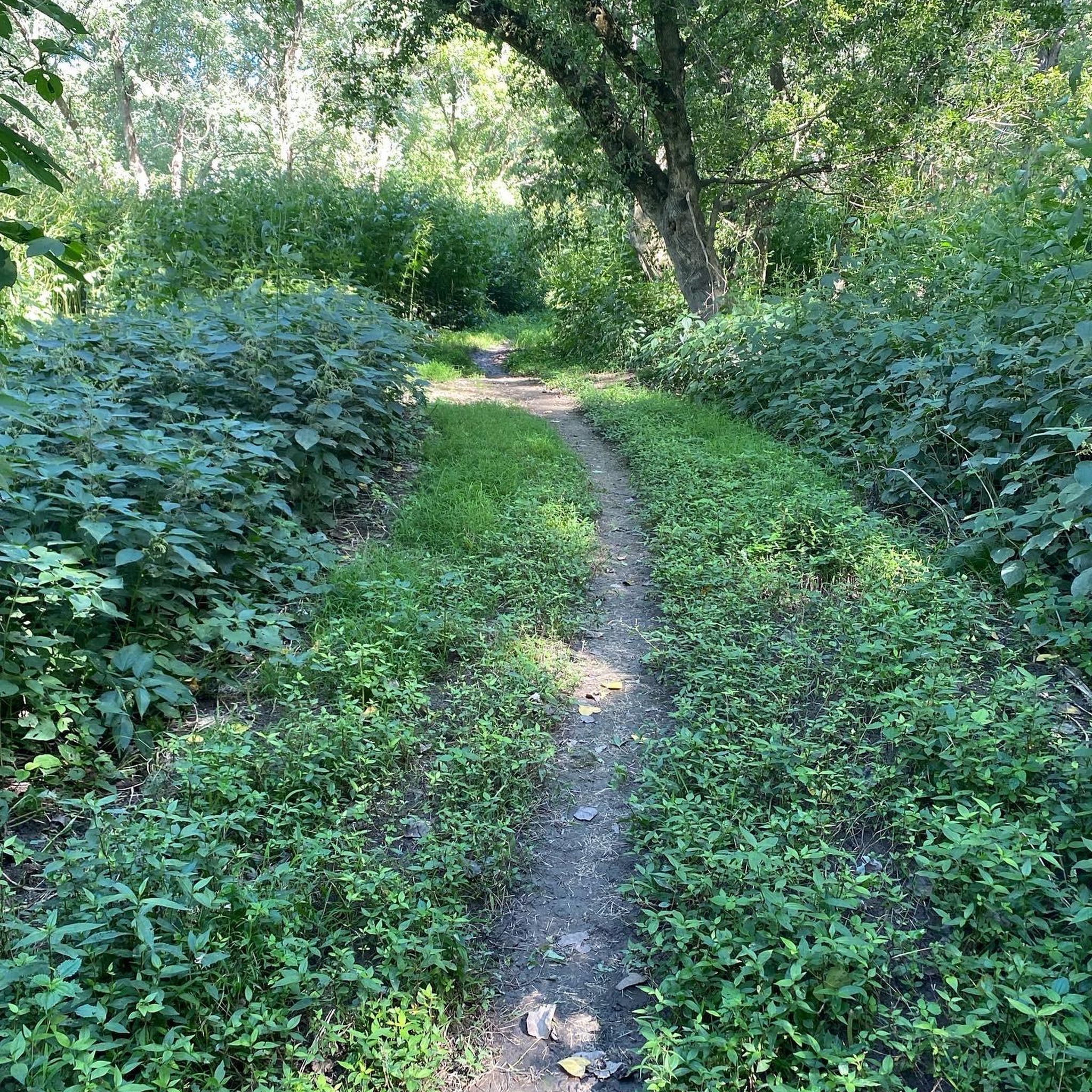
Here you can walk small paths. When I walked there it was relatively empty. Beware of poison ivy
1
0
Parking lot easily accessible. Here you can run various trails. The small trails lead beautifully through the forest. There are snakes in the creek.
1
0

This bridge crosses the stream that flows down to the Great Miami River which passes east of the Charleston Falls Preserve.
0
0
A sturdy staircase connects the trail to a pond with waterfalls. The trail and staircase follow the contour of tall rocks which almost look like a ridge.
0
0
Thorny Badlands is the area in the north-east of the preserve. The nature here is very colourful and is a pleasure to walk through at any time of the year.
0
0
Frequently Asked Questions
Are there hiking trails suitable for beginners or families in Vandalia?
Yes, Vandalia offers a good selection of trails for all skill levels. The region has 9 easy routes, many of which are found within the well-maintained park systems of Vandalia, Ohio, and Illinois. For example, the Locust Grove Trail loop — Dayton, Ohio is an easy 1.5-mile path through parkland, ideal for a relaxed family outing.
What kind of natural scenery can I expect on Vandalia's hiking trails?
Vandalia's hiking trails feature diverse natural scenery, including lush green spaces, serene winding paths, and areas with a dense canopy of trees. In Ohio, you'll find picturesque parks like Robinette and Helke Park. The Vandalia Trail in Indiana is particularly known for its stunning autumn colors and a scenic bridge over Crittenden Creek, offering opportunities for birding.
Are there any notable landmarks or attractions along the hiking trails in Vandalia?
Yes, several interesting landmarks and attractions can be found near Vandalia's hiking trails. You might encounter the historic Taylorsville Dam, or cross a Wooden Bridge on Yellow and Orange Trails. In Vandalia, Ohio, you can also explore the unique Alkaline Natural Spring House or the Vandalia Art Park, which blends nature with walkable art exhibits.
When is the best time of year to go hiking in Vandalia?
Vandalia's temperate climate allows for year-round enjoyment of its outdoor spaces. However, the Vandalia Trail in Indiana is particularly stunning in autumn, presenting a 'breathtaking explosion of color.' Spring and early summer also offer pleasant conditions with lush greenery, while winter hiking can be enjoyed on many trails, weather permitting.
Are Vandalia's hiking trails dog-friendly?
Many of Vandalia's parks and multi-use trails are dog-friendly, provided pets are kept on a leash. The Vandalia Trail in Indiana, for instance, is frequented by dog walkers. It's always a good idea to check specific park regulations before heading out, but generally, you'll find plenty of options to enjoy with your canine companion.
Is parking available at the trailheads in Vandalia?
Yes, parking is generally available at the various parks and trailheads throughout Vandalia. Locations like Robinette Park, Helke Park, and North Park in Vandalia, Ohio, offer facilities for visitors. Similarly, the park areas in Vandalia, Illinois, and access points along the Vandalia Trail in Indiana typically provide convenient parking options for hikers.
What is the typical terrain like on Vandalia's hiking trails?
The typical terrain on Vandalia's hiking trails is generally mild, featuring well-maintained paths through parklands, river corridors, and wooded areas. While some routes, like the Yellow and Orange Trails loop — Dayton, Ohio, have a moderate elevation gain of around 293 feet, many trails are relatively flat, making them accessible for various fitness levels. The Vandalia Trail in Indiana features both asphalt and crushed gravel surfaces.
What do other hikers say about the trails in Vandalia?
The hiking trails in Vandalia are highly regarded by the komoot community, with an average rating of 4.9 stars from over 10 reviews. Hikers often praise the well-maintained paths, the serene natural environments, and the variety of options available for different skill levels. Many appreciate the peacefulness and accessibility of the routes.
Are there any longer hiking options for more experienced hikers in Vandalia?
Yes, for those seeking a longer challenge, Vandalia offers several moderate routes. The Green Trail loop via Stillwater River Recreation Trail — Englewood Metropark is a moderate 7.1-mile path that provides varied scenery and takes about 3 hours to complete. These routes offer a more extended experience while still maintaining manageable elevation changes.
Can I find circular hiking routes in Vandalia?
Yes, many of Vandalia's hiking options are designed as circular routes, allowing you to start and end at the same point. Examples include the Yellow and Orange Trails loop — Dayton, Ohio and the Locust Grove and Thorny Badlands Trails loop — Dayton, Ohio, which offer convenient and enjoyable loop experiences through parklands.
Are there any trails that offer a unique experience, like a natural spring or art installations?
Yes, in Vandalia, Ohio, you can find unique experiences beyond typical hiking. The city is home to an Alkaline Natural Spring House, offering a taste of fresh spring water. Additionally, the Vandalia Art Park provides an eight-acre walkable art exhibit adjacent to historical grounds, blending nature with cultural exploration.
What are some of the larger park areas for hiking in Vandalia, Ohio?
Vandalia, Ohio, boasts several substantial parks with extensive trail systems. North Park, spanning 126.2 acres, and the Vandalia Recreation Center and Park, with 91.3 acres, both offer serene walking trails and picturesque landscapes. These larger parks provide ample space for longer walks and a deeper immersion in nature.
Most popular routes around Vandalia
Most popular attractions around Vandalia

Get inspired with the komoot mobile app


Explore more
Browse the best Hikes in other regions.
