The best road cycling routes around Richmond Heights
4.1
(8)
535
riders
32
rides
Road cycling routes around Richmond Heights, Ohio, offer diverse terrain for cyclists. The region is characterized by a network of dedicated bike trails, often following former railroad lines, and features natural attractions such as creek reservations, scenic overlooks, and waterfalls. While some routes are relatively flat, others include moderate to significant elevation gains, providing varied challenges. The landscape combines paved pathways through tree-lined areas with routes exploring nature centers and park reservations.
Best road cycling routes around Richmond Heights
- The…
Last updated: May 17, 2026
3
riders
37.1km
01:35
190m
190m
This difficult 23.1-mile road cycling loop in Cleveland Metroparks offers diverse scenery from Euclid Creek to Lake Erie beaches.
56
riders
Moderate road ride. Good fitness required. Some segments of this route may be unpaved and difficult to ride.

Sign up for free
26
riders
52.9km
02:25
380m
380m
Moderate road ride. Good fitness required. Mostly well-paved surfaces and easy to ride.
23
riders
77.7km
03:32
480m
480m
Moderate road ride. Good fitness required. Some segments of this route may be unpaved and difficult to ride.
22
riders
Moderate road ride. Good fitness required. Mostly well-paved surfaces and easy to ride.
Get access to more routes and recommendations from other explorers.
Sign up for free
Already have an account?
Our route recommendations are based on thousands of hikes, rides, and runs completed by other people on komoot.
Start today with a free account
Your next adventure awaits.
Login or Signup
Popular around Richmond Heights

Tips from the Community

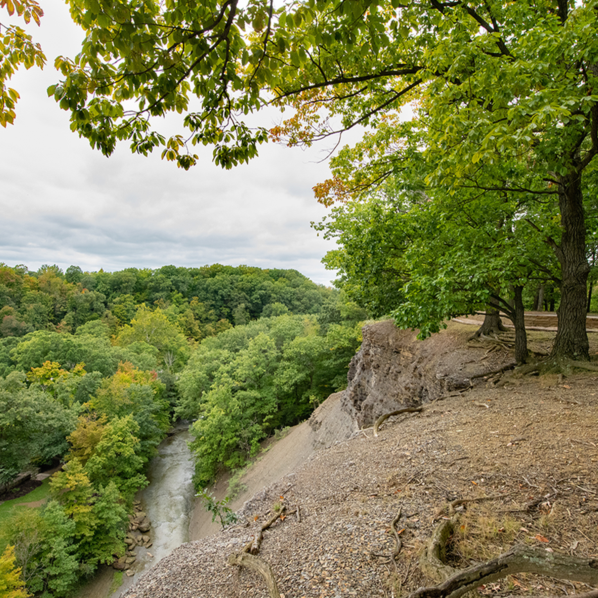
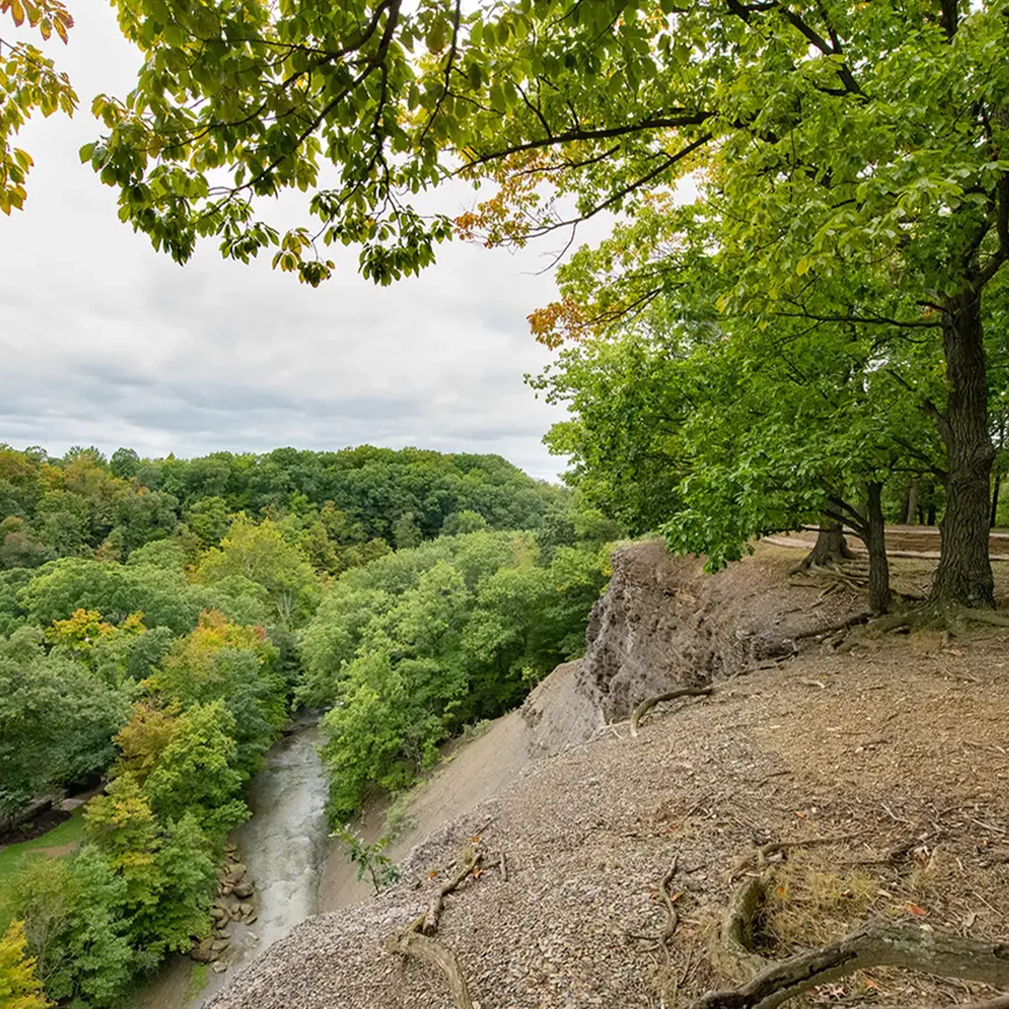
Tinker’s Creek Gorge Scenic Overlook offers a breathtaking view of the gorge and its cascading waterfalls. Whether you're cycling, hiking, or simply enjoying the scenery, the overlook provides panoramic views of the lush landscape and the deep, winding gorge below. The area is accessible and offers a quiet, serene atmosphere, ideal for those looking to connect with nature.
1
0

The North Chagrin Reservation is a mix of woodlands and meadows, with open areas for picnicking. There's also the excellent Nature Center, with a variety of exhibits, a play area for the kids, as well a few ponds, streams, and waterfalls.
0
0

A small trail leads to a wooden overlook over the falls. The waterfall is a 10-foot drop through a narrow carved rock channel.
0
0
Lower Shaker Lake features a scenic 0.44-mile, 10-foot wide asphalt trail between Lower Lake and South Park Boulevard in Shaker Heights. The park, with roots tracing back to the Shakers (1822-1889), includes ravines, lakes, woods, and greenspace. The trail connects to the 6-mile Lake-to-Lakes Trail, enhancing regional recreation and providing a safe, off-road biking route linking North Woodland to North Park Boulevard.
0
0
Euclid Creek Reservation, named after the creek that flows through it, boasts wooded hillsides home to rare rock chestnut oaks. The southern part of the reservation is notable for the remnants of the ghost town of Bluestone, where quarrying of the blue-gray siltstone thrived in the late 1800s and early 1900s. The Quarry Picnic Area offers views of the remaining bluestone. Euclid Beach Park, once an amusement park, now features a 650-foot beach with picnic spots, an observation pier, and a pavilion.
0
0
Enjoy the scenic rail bridge spanning the East Branch of the Rock River. The Rocky River, recognized by Field & Stream as a premier steelhead trout river, is the highlight of the Rocky River Reservation. This picturesque spot offers a peaceful setting and a prime location for fishing enthusiasts.
0
0

Although the path has a couple of busy roads to cross. This section of the metroparks between strongsville and Rocky River are some of the best multi-use trails you can find. It stays close to the river, so the path is winding. Lots of picnic grounds and restrooms. All paved
0
0
For almost 9 miles, the Mill Stream Run Reservation All Purpose Trail meanders through a wooded park in Berea, a western Cleveland suburb. Despite running near Valley Parkway, the trail feels secluded from the urban environment. Attractions along the route include a wildlife area, several picnic spots, an archery range, and multiple connecting nature trails, including one for equestrians. The trail, with its smooth asphalt surface, is well maintained. While you might encounter walkers, runners, or roller bladers, it's rarely crowded. At its northern end, it connects to the Rocky River Reservation All-Purpose Trail.
0
0
Frequently Asked Questions
How many road cycling routes are available in Richmond Heights?
Richmond Heights offers over 35 dedicated road cycling routes, catering to various skill levels. You'll find a good mix, with 11 easy routes, 23 moderate routes, and 2 more challenging options.
What is the best time of year for road cycling in Richmond Heights?
While road cycling is enjoyable throughout the warmer months, July and August are particularly popular for outdoor activities in the broader Richmond Heights region, offering pleasant conditions for exploring the trails and natural areas.
Are there any family-friendly road cycling paths in Richmond Heights?
Yes, Richmond Heights, Ohio, is known for its recreational focus and offers several paved, tree-lined pathways suitable for families. Trails like the Freedom Trail and sections of the Ohio & Erie Canal Reservation All Purpose Trail provide accessible and enjoyable rides.
Where can I find challenging road cycling routes in Richmond Heights?
For those seeking a challenge, routes with significant elevation gains are available. The Euclid Creek Reservation Loop, for instance, is classified as difficult and features varied terrain within the reservation.
Are there long-distance road cycling routes in the area?
Absolutely. For longer rides, consider routes like the Berea Falls Scenic Overlook – Rocky River Nature Center loop from Euclid, which spans over 120 km, connecting scenic overlooks with nature centers and offering extensive views.
What kind of scenic views can I expect on road cycling routes in Richmond Heights?
Road cycling in Richmond Heights offers diverse scenery, including creek reservations, nature centers, and scenic overlooks. You can enjoy views of natural parkland, lakes like Lower Shaker Lake and Oxbow Lagoon, and even historical landmarks like Squire's Castle.
Are there any circular road cycling routes in Richmond Heights?
Many routes in Richmond Heights are designed as loops, allowing you to start and finish at the same point. A popular example is the Buttermilk Falls Overlook loop from North Chagrin Reservation, which offers a moderate ride through natural parkland.
Can I see waterfalls while road cycling in Richmond Heights?
Yes, you can! The region features natural attractions like Buttermilk Falls. The Buttermilk Falls – North Chagrin Nature Center loop from North Chagrin Reservation is a great route that passes by this scenic waterfall.
What do other road cyclists say about the routes in Richmond Heights?
The road cycling routes in Richmond Heights are highly rated by the komoot community, with an average score of 4.2 stars. Cyclists often praise the varied terrain, well-maintained paths, and the beautiful natural settings of the creek reservations and nature centers.
Are there routes that connect different nature centers or parks?
Yes, several routes are designed to connect various natural attractions. For instance, the Rocky River Nature Center – Berea Falls Scenic Overlook loop from Stokes-Windermere Station links two significant natural points of interest, offering a comprehensive tour of the area's green spaces.
What kind of terrain can I expect on road cycling routes in Richmond Heights?
The terrain varies significantly. You'll find paved pathways through tree-lined areas, routes following former railroad lines, and paths exploring nature centers and park reservations. While some routes are relatively flat, others include moderate to significant elevation gains, providing diverse challenges and experiences.
Most popular routes around Richmond Heights
Most popular attractions around Richmond Heights

Get inspired with the komoot mobile app


Explore more
Browse the best Road cycling routes in other regions.
