The 7 Most Amazing Peaks around Waldbronn
Best mountain peaks around Waldbronn are found within the northern Black Forest region of Baden-Württemberg, Germany. This area is characterized by a hilly landscape, with the municipality of Waldbronn itself reaching approximately 340 meters in elevation. The broader Landkreis Karlsruhe, where Waldbronn is located, features several notable hills and mountains that provide recreational experiences and panoramic views. These include prominent elevations that serve as popular destinations for hiking and offer diverse natural features.
Best mountain peaks around Waldbronn
- The most…
Last updated: October 4, 2026
Turmberg Ruins and Viewpoint (Durlach, Karlsruhe)
Highlight • Viewpoint
Translated by Google •
Tip by

Mount Klotz
Highlight • Viewpoint
Translated by Google •
Tip by

Sign up now to discover places like this
Get recommendations on the best single tracks, peaks, & plenty of other exciting outdoor places.
Karlsruhe Summit Cross
Highlight • Summit
Translated by Google •
Tip by

Karlsruhe-Durlach station
Highlight • Rest Area
Via the underpass, you can reach the Untermühlsiedlung settlement.
Showing Translation
Tip by

Hopfenberg
Highlight • Summit
Translated by Google •
Tip by

Sign up for free to discover even more peaks around Waldbronn.
Already have an account?
Start today with a free account
Your next adventure awaits.
Popular around Waldbronn
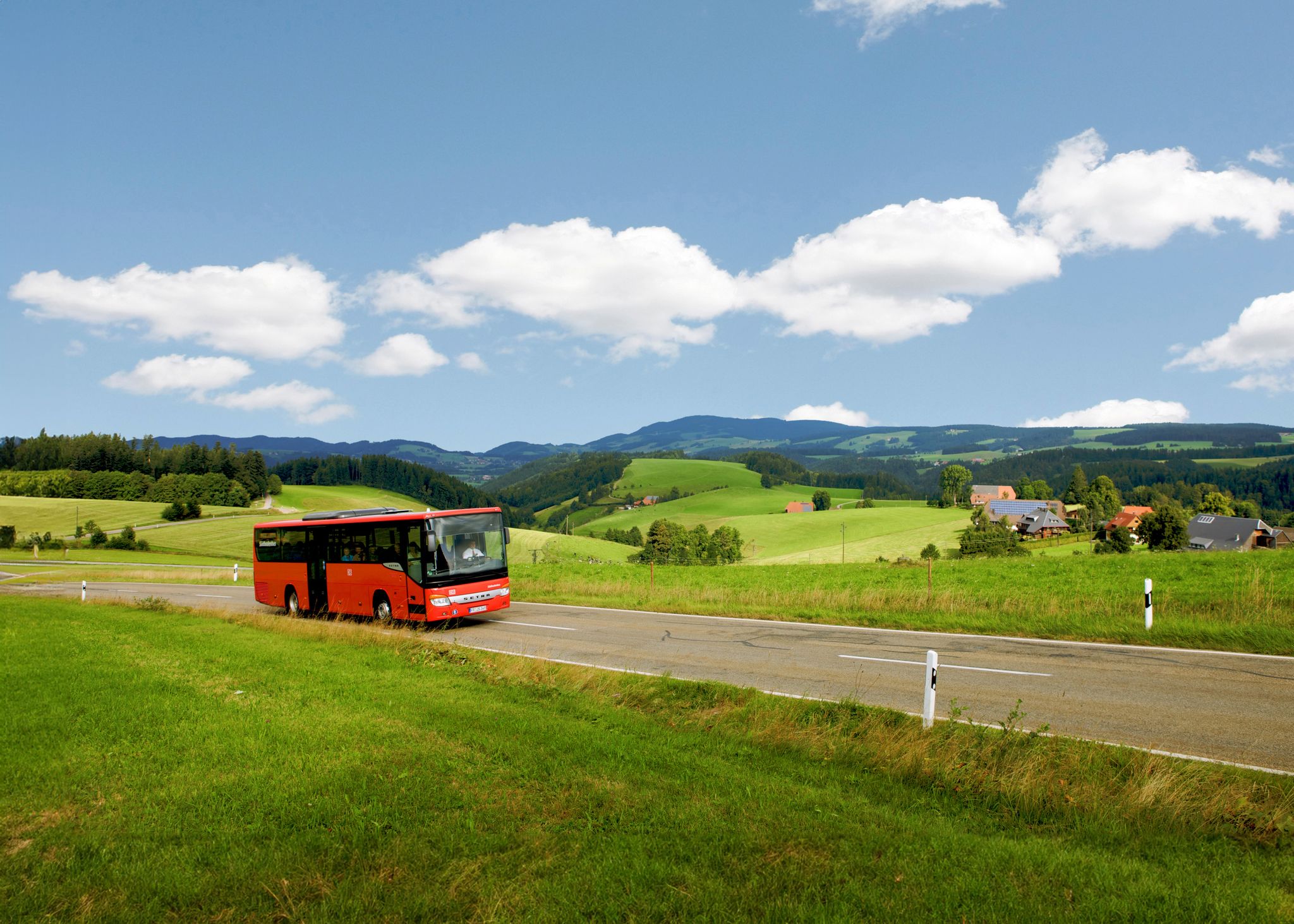
Car-free hiking adventures – the Black Forest without a car
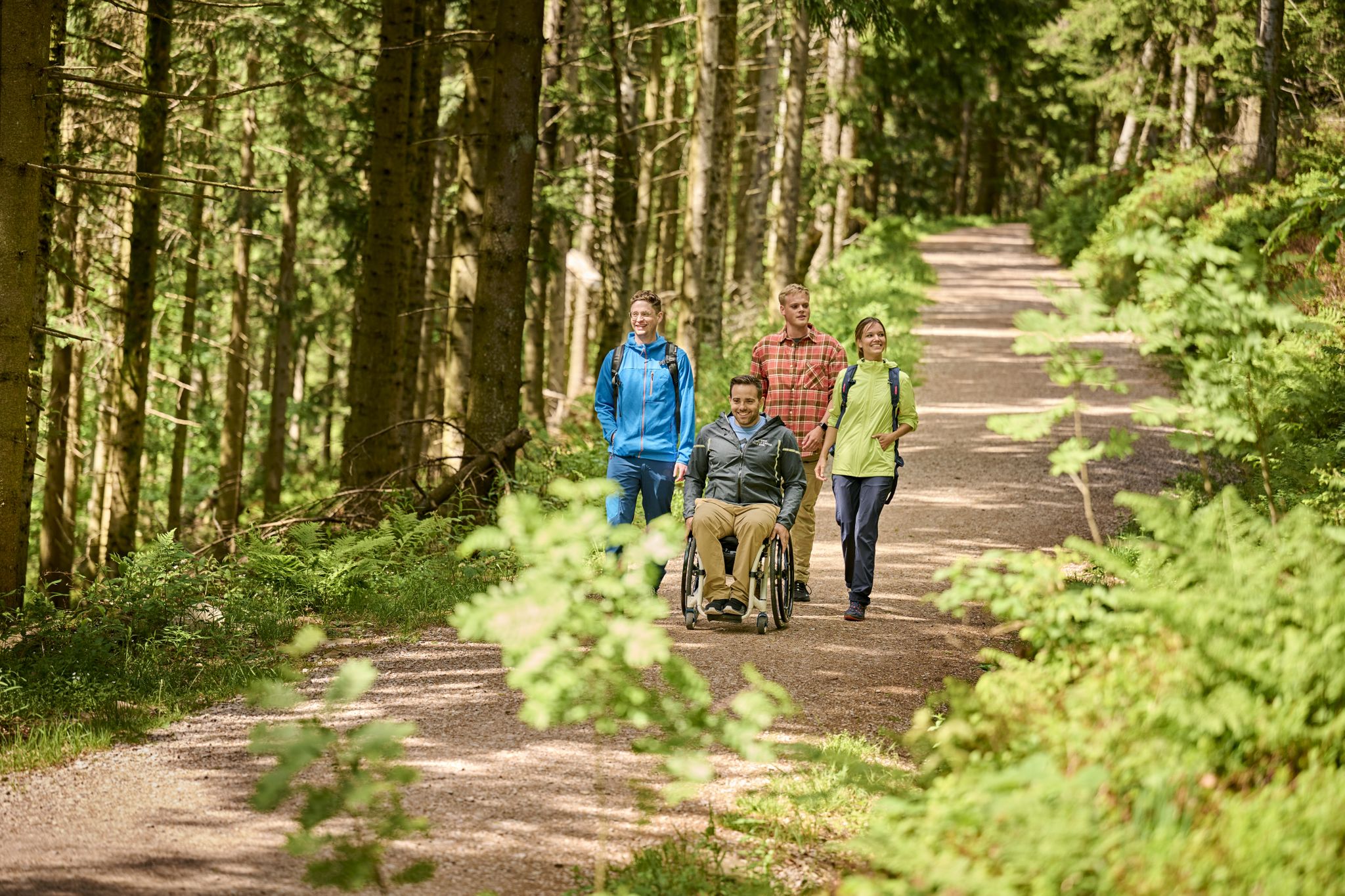
Accessible hiking routes in Baden-Württemberg
Exploring the Black Forest in Germany – fantastic trails & nature
Wandern und warmes Wasser – Rundwege zu den Thermen Baden-Württembergs
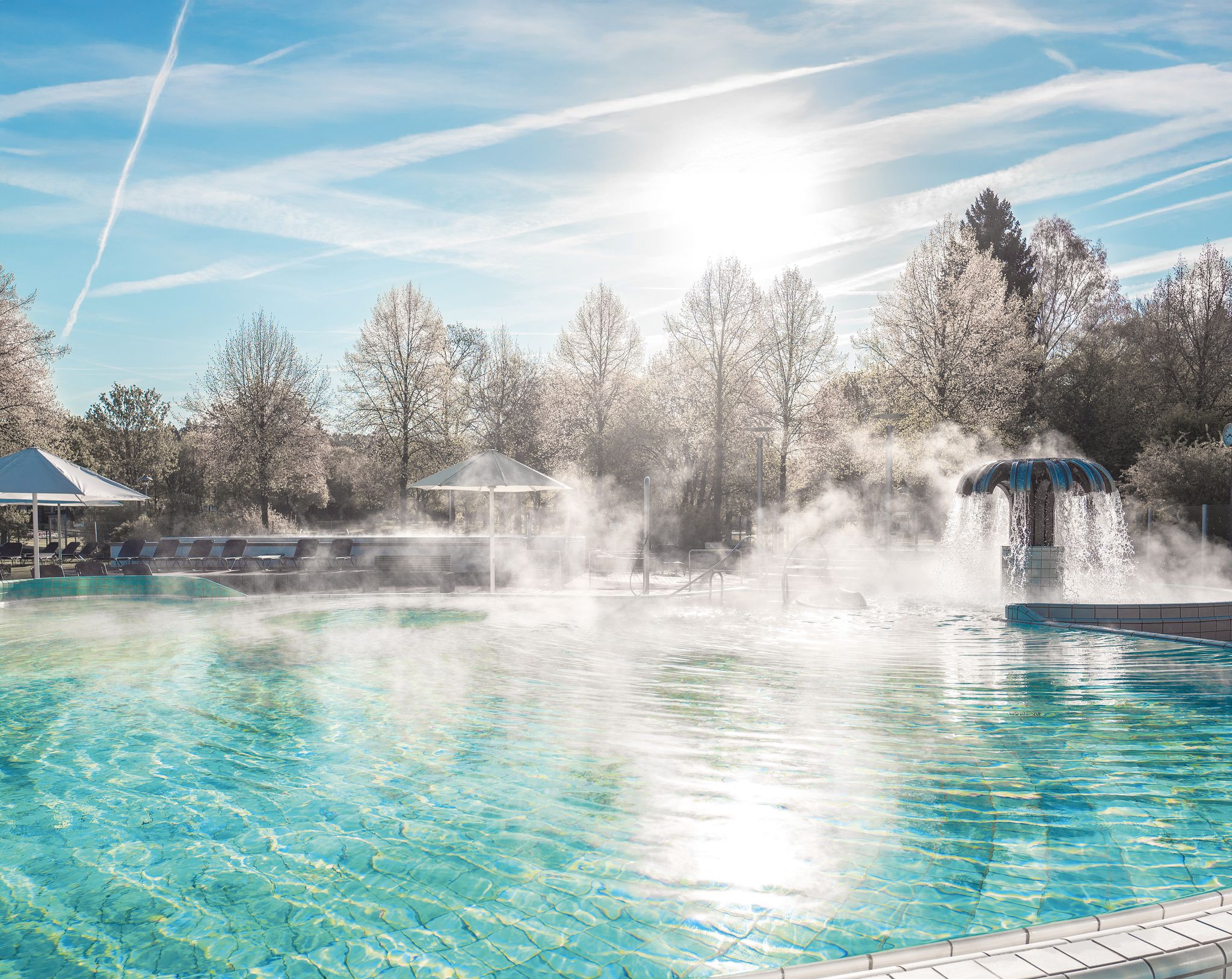
Naturgenuss & Badekultur – Wandern und Entspannen im Schwarzwald
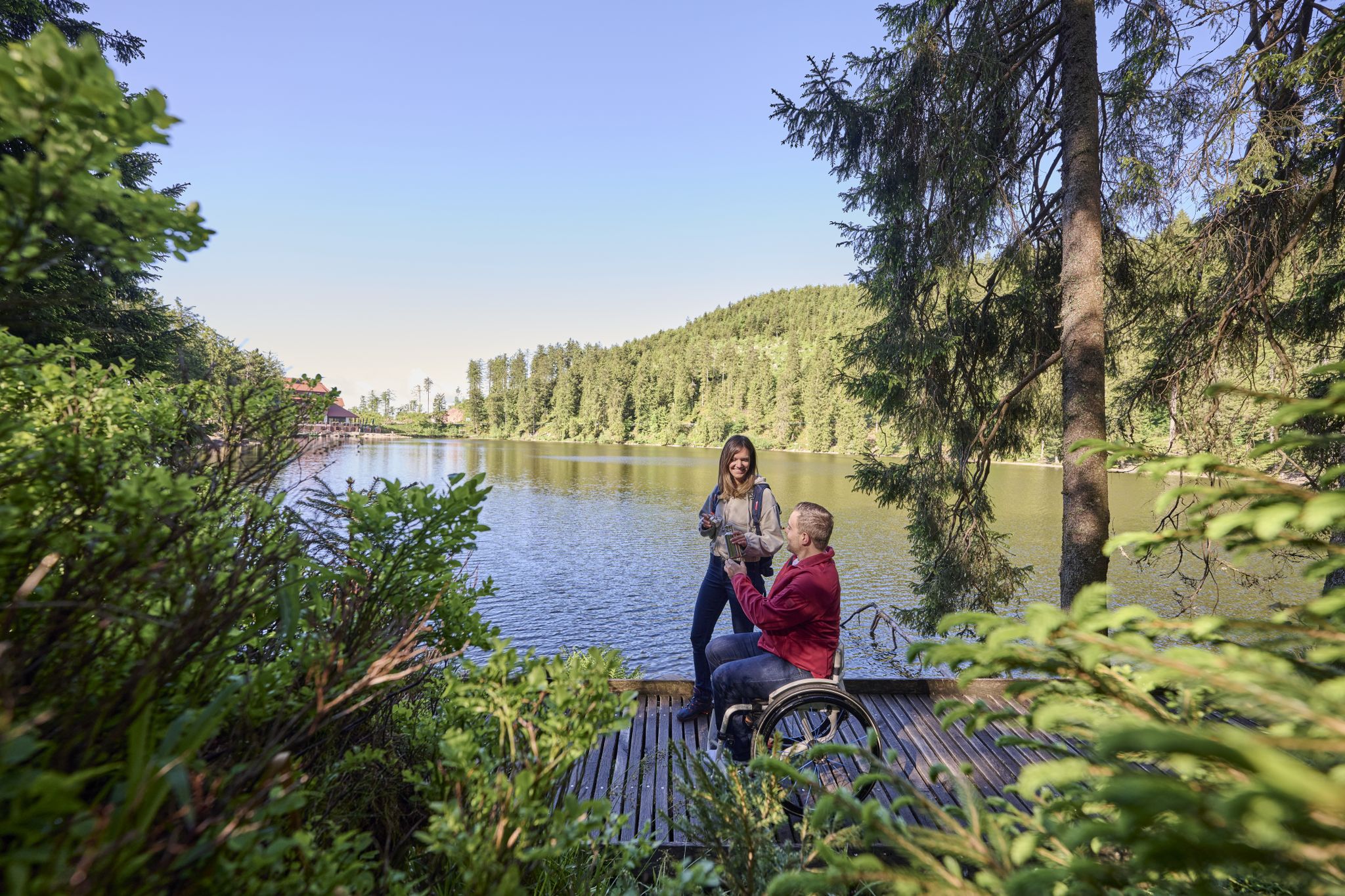
Barrierefreie Wege im Schwarzwald
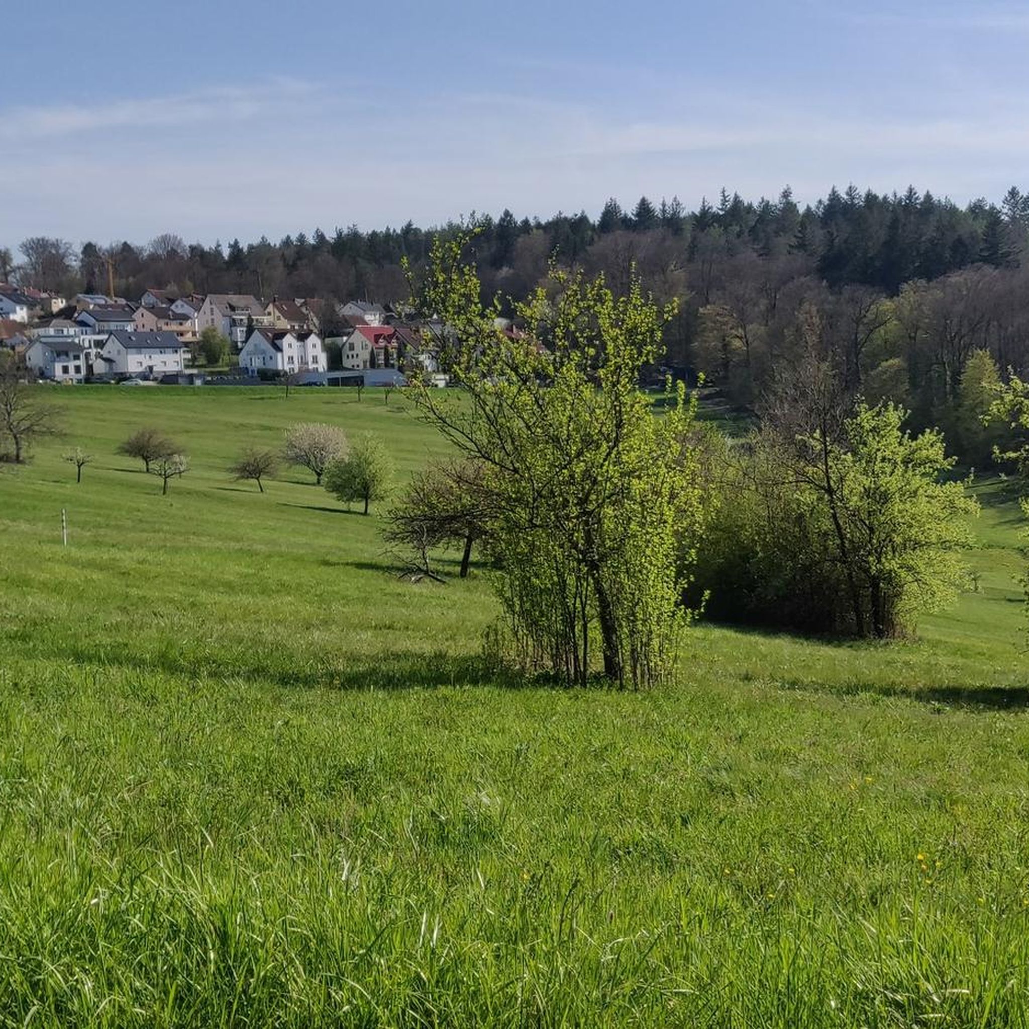
Hiking around Waldbronn
Road Cycling Routes around Waldbronn
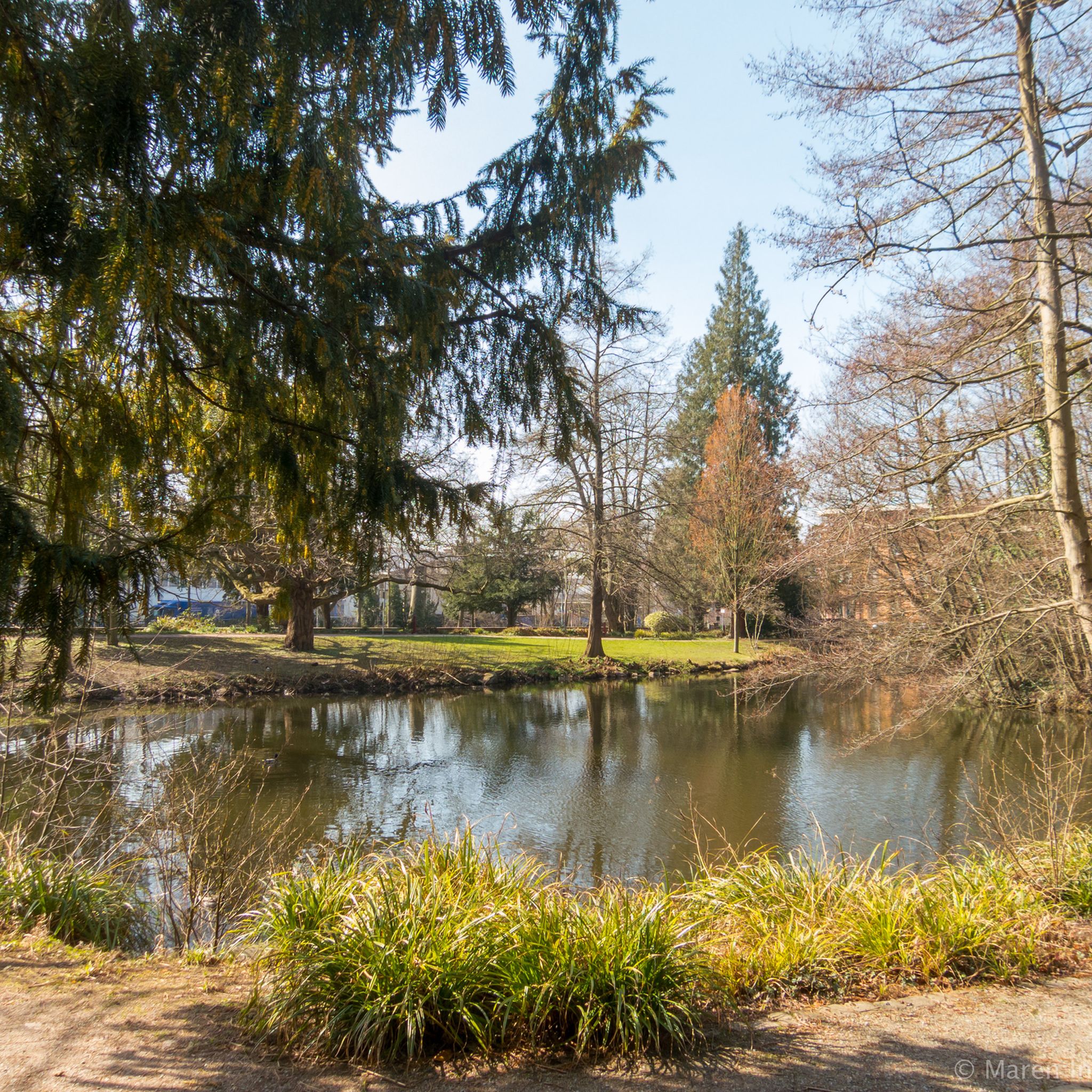
Cycling around Waldbronn
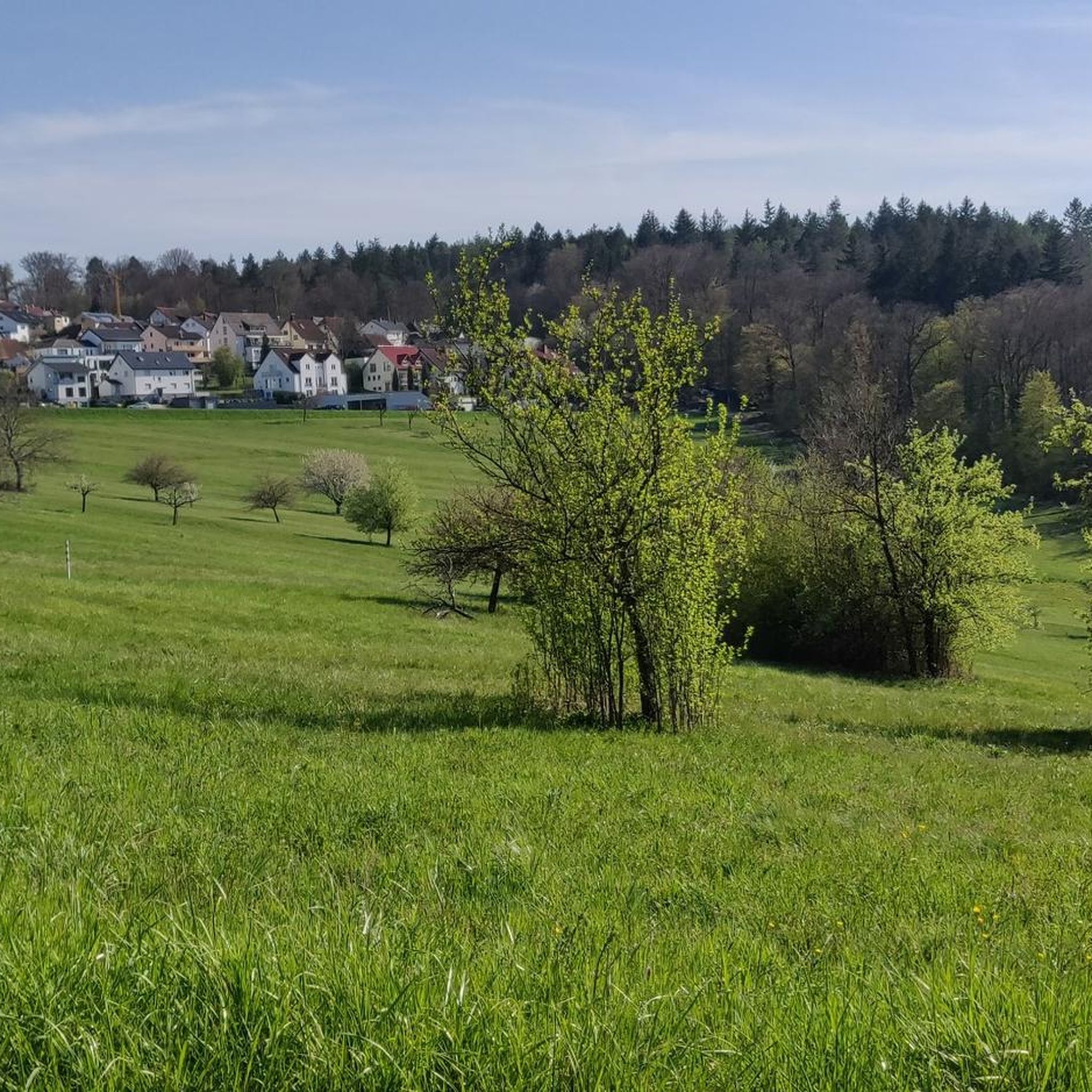
Running Trails around Waldbronn
Other adventures around Waldbronn


Tips from the Community

The approximately six-and-a-half-meter-high cross was made from a fallen black locust tree from the Karlsruher Oberwald. It weighs around one ton and had to be erected with the help of a crane. The municipal forest workers created and elaborately decorated it with loving handiwork. The summit cross is held by a roughly four-ton base plate, which gives the structure the necessary stability against storms and gusts.
2
0

Summit cross on the highest point in the Karlsruhe district. This is located at an altitude of 323 meters, not far from the Wettersbach radio tower. The cross, approximately six and a half meters high, was made from a fallen black locust tree from the Karlsruhe Oberwald forest.
8
0

The facility was completed in 1985 after approximately nine years of construction. At a cost of approximately 10 million DM, it was one of the largest inner-city recreational areas in Germany created outside of a garden show. It was named after former Karlsruhe mayor Günther Klotz. https://ka.stadtwiki.net/G%C3%BCnther-Klotz-Anlage https://ka.stadtwiki.net/G%C3%BCnther_Klotz
3
0

Nice view of the small hill, also ironically called “Mount Klotz” in flat Karlsruhe 😉
7
0
Second largest train station in Karlsruhe. Trains for local and regional transport and occasionally long-distance trains stop here. Via the underpass, you can reach the Untermühlsiedlung settlement.
12
0

This is indeed the highest point in the Karlsruhe city area. However, the wild boar enclosure will no longer exist in 2025.
2
0

A beautifully landscaped wildlife enclosure with a summit cross
2
0

The view is worth it, even though you don't expect it.
3
0
Frequently Asked Questions
What are some of the most popular mountain peaks and viewpoints around Waldbronn?
The region around Waldbronn, situated in the northern Black Forest, offers several popular spots. Highly rated by the komoot community are the Turmberg Ruins and Viewpoint (Durlach, Karlsruhe), which provides magnificent views of Durlach, Karlsruhe, and the Rhine plain. Another favorite is Schwanner Warte Observation Tower & Viewpoint, known for its great views and occasional glider sightings. For a prominent natural peak in the broader district, Mahlberg (612 m) is the highest mountain in the Karlsruhe district, featuring the Mahlberg Tower with extensive panoramic views.
Are there family-friendly mountain peaks or viewpoints suitable for all ages near Waldbronn?
Yes, several locations are well-suited for families. Turmberg Ruins and Viewpoint is family-friendly, offering both historical interest and views. Mount Klotz, an artificial hill, is also family-friendly and serves as a toboggan hill in winter, providing beautiful views over Karlsruhe. The Karlsruhe Summit Cross is another accessible spot for families.
Are there any historical landmarks or cultural sites associated with the mountain peaks around Waldbronn?
Absolutely. The Turmberg Ruins and Viewpoint features the remains of an old castle accessible as a lookout tower, offering a blend of history and scenic beauty. In the wider district, Mahlberg is home to the Mahlberg Tower, providing historical context alongside its panoramic views. Additionally, Wattkopf, east of Ettlingen, features a Bismarck tower on its western slope, adding to the historical and scenic appeal.
Which mountain peaks or viewpoints offer the best panoramic views in the Waldbronn area?
For expansive views, the Mahlberg Tower on Mahlberg (612 m) is highly recommended. From its viewing platform, you can see the Murg and Moosalb valleys, the Upper Rhine Plain, the Vosges mountains, the Palatine Forest, the Kraichgau, and the Odenwald. The Turmberg Ruins and Viewpoint also offers magnificent vistas of Durlach, Karlsruhe, and the Rhine-Neckar area. Wattkopf, with its Panoramaweg, provides impressive views over Ettlingen, the Alb valley, and extending to the Palatine Mountains and Northern Vosges.
What kind of terrain can I expect on trails leading to mountain peaks around Waldbronn?
The landscape around Waldbronn is characterized by its hilly nature, typical of the northern Black Forest. Trails often involve ascents and descents through forests, with some paths being well-maintained and others more natural. You can expect a mix of forest paths, gravel tracks, and sometimes narrower, more rugged trails, especially when heading towards summits or viewpoints.
When is the best time of year to visit the mountain peaks around Waldbronn?
The mountain peaks and viewpoints around Waldbronn can be enjoyed throughout the year. Spring and autumn offer pleasant temperatures and beautiful foliage, making them ideal for hiking. Summer is great for longer days and clear views, while winter can transform the landscape into a picturesque snowy scene, especially at higher elevations like Mahlberg, though some paths might require appropriate gear.
What outdoor activities, besides hiking, can I enjoy near the mountain peaks around Waldbronn?
Beyond hiking, the area offers excellent opportunities for cycling and mountain biking. You can explore various routes like the 'Hermann Lake – Panoramic Bench Above Weiler loop' for gravel biking or the 'St. Barbara Chapel Ruins – View of Frauenalb Abbey loop' for cycling. For mountain biking, trails like the 'Zigeuner Trail, Ettlingen' or 'Wattkopf Trail' provide diverse experiences. You can find more details on these activities in the Gravel biking around Waldbronn, Cycling around Waldbronn, and MTB Trails around Waldbronn guides.
Are there specific hiking trails that lead to the prominent peaks or viewpoints?
Yes, many trails lead to these spots. For instance, Mahlberg is a popular destination for hikers, with trails leading to its summit and the Mahlberg Tower. Wattkopf features a dedicated Panoramaweg, a circular route offering impressive views. The Turmberg can even be accessed via the Turmbergbahn from Durlach, or by various hiking paths.
What do visitors enjoy most about the mountain peaks and viewpoints near Waldbronn?
Visitors frequently highlight the magnificent and impressive views, especially from locations like Turmberg and Schwanner Warte. The combination of natural beauty, historical sites, and the opportunity for outdoor activities like hiking and cycling are also highly appreciated. The community often shares tips about the romantic atmosphere, especially at night, and the chance to observe gliders or enjoy local refreshments at some viewpoints.
Is there a highest point in the Karlsruhe district near Waldbronn?
Yes, the highest and most prominent mountain in the broader Karlsruhe district is Mahlberg, reaching an elevation of 612 meters. It is a popular destination for hikers and offers extensive panoramic views from its tower. Within the immediate vicinity of Karlsruhe, the Karlsruhe Summit Cross marks a high point at 323 meters, not far from the Wettersbach radio tower.
Can I find any hidden or less-known mountain trails near Waldbronn?
While many popular routes are well-documented, some areas offer a more secluded experience. For example, the path to Hopfenberg is described as having become dense, suggesting a less-trafficked route, though the summit itself might be overgrown. Exploring the extensive network of trails in the northern Black Forest can also lead to quieter paths away from the main attractions.
Most popular routes around Waldbronn
Most popular attractions around Waldbronn

Get inspired with the komoot mobile app


Explore more
See even more amazing summits around Waldbronn with these guides:
