The best road cycling routes around Garner
4.6
(20)
1,054
riders
99
rides
If you’ve ever tried to plan road cycling around Garner, NC, you know how quickly the options can feel overwhelming. With so many greenways, parks, and suburban roads, it’s tough to tell which routes are genuinely worth your time and effort, and which are just filler. That’s where we come in. Our komoot community has mapped, ridden, and reviewed countless routes here, and we’ve distilled all that local knowledge into a curated shortlist, saving you the guesswork.
Road cycling around Garner is defined by its accessible, generally flat to gently rolling terrain, making it a fantastic spot for a wide range of cyclists. You’ll find a great mix of dedicated greenway paths and routes that weave through local communities and natural preserves, offering everything from easy spins to longer, more challenging rides. The region’s extensive greenway system, including connections to the Neuse River Trail, means you can really stretch your legs and explore diverse scenery.
If you only do one ride, we’d point you to the Moore Square – Downtown Raleigh loop. At 22.9 miles (36.9 km), it’s an easy, engaging urban cycling experience that showcases the best of the area. For something a bit longer and connecting more natural spaces, the Williamson Preserve entry – Sam's Branch Greenway Trail loop is a moderate 32.4 miles (52.2 km) ride that our community loves. With over 1,000 road cyclists having explored Garner with komoot, you know you’re in good company.
Last updated: May 28, 2026
4.0
(2)
70
riders
40.1km
01:50
170m
170m
This 24.9-mile (40.1 km) easy road cycling loop, which takes about 1 hour and 50 minutes to complete with 568 feet (173 metres) of elevation gain, offers a unique blend of nature and city. You'll pedal through lush wooded areas and tranquil wetlands, with impressive boardwalks like those over "The Swamp" on the Walnut Creek Greenway providing excellent birdwatching opportunities for egrets and herons. The route follows Crabtree Creek, revealing large rock outcroppings, and even offers scenic views of Lake Johnson, making it feel far removed from Raleigh's urban bustle.
When planning your ride, be mindful that parts of the Crabtree Creek Greenway are susceptible to flooding, so check conditions after heavy rains. While generally easy, some older sections of the Walnut Creek Trail and eastern Crabtree Creek Trail can be bumpy due to roots, which might make a hybrid bike a more comfortable choice. For safety, especially on parts of the Walnut Creek Trail near downtown, consider riding during daylight hours and with companions.
This loop is a vital part of Raleigh's Capital Area Greenway system, providing an urban oasis with extensive connectivity to other trails like the Neuse River Trail. Cyclists often spot diverse wildlife, including deer, bald eagles, and herons, among the loblolly pine stands. It's an ideal route for those looking for best road cycling trails Raleigh has to offer, combining natural features with convenient city access.
5.0
(1)
22
riders
45.6km
01:54
240m
230m
The Neuse River and Crabtree Creek Trail Loop offers a delightful road cycling experience, winding through Raleigh's natural beauty. You'll glide along predominantly paved surfaces, passing through peaceful wooded forests, open farmland, and over impressive winding boardwalks that span wetland environments. Keep an eye out for picturesque views of both the Neuse River and Crabtree Creek, with stands of loblolly pine, elm, and river birch adding to the scenic charm.
This easy 28.3-mile (45.6 km) route, with its 772 feet (235 metres) of elevation gain, can be completed in about 1 hours and 53 minutes, making it a perfect option for a morning or afternoon ride. Access is convenient with plentiful parking along both greenways, and you'll find restrooms and drinking water at key points. Just be mindful that some sections of the Crabtree Creek Trail, especially in flood plains, can be prone to washouts.
This loop is a standout because it combines two extensive greenway systems, including the Neuse River Trail, which is North Carolina's longest paved trail and part of the East Coast Greenway and Mountains-to-Sea Trail. It's a fantastic way to immerse yourself in nature and escape city traffic, all within Raleigh's larger Capital Area Greenway system.

5.0
(6)
160
riders
Moderate road ride. Good fitness required. Mostly well-paved surfaces and easy to ride.
58
riders
49.3km
02:18
430m
430m
Moderate road ride. Good fitness required. Some segments of this route may be unpaved and difficult to ride.
4.0
(2)
37
riders
40.5km
01:50
170m
170m
Easy road ride. Great for any fitness level. Mostly well-paved surfaces and easy to ride.
Get access to more routes and recommendations from other explorers.
Already have an account?
Our route recommendations are based on thousands of hikes, rides, and runs completed by other people on komoot.
Start today with a free account
Your next adventure awaits.
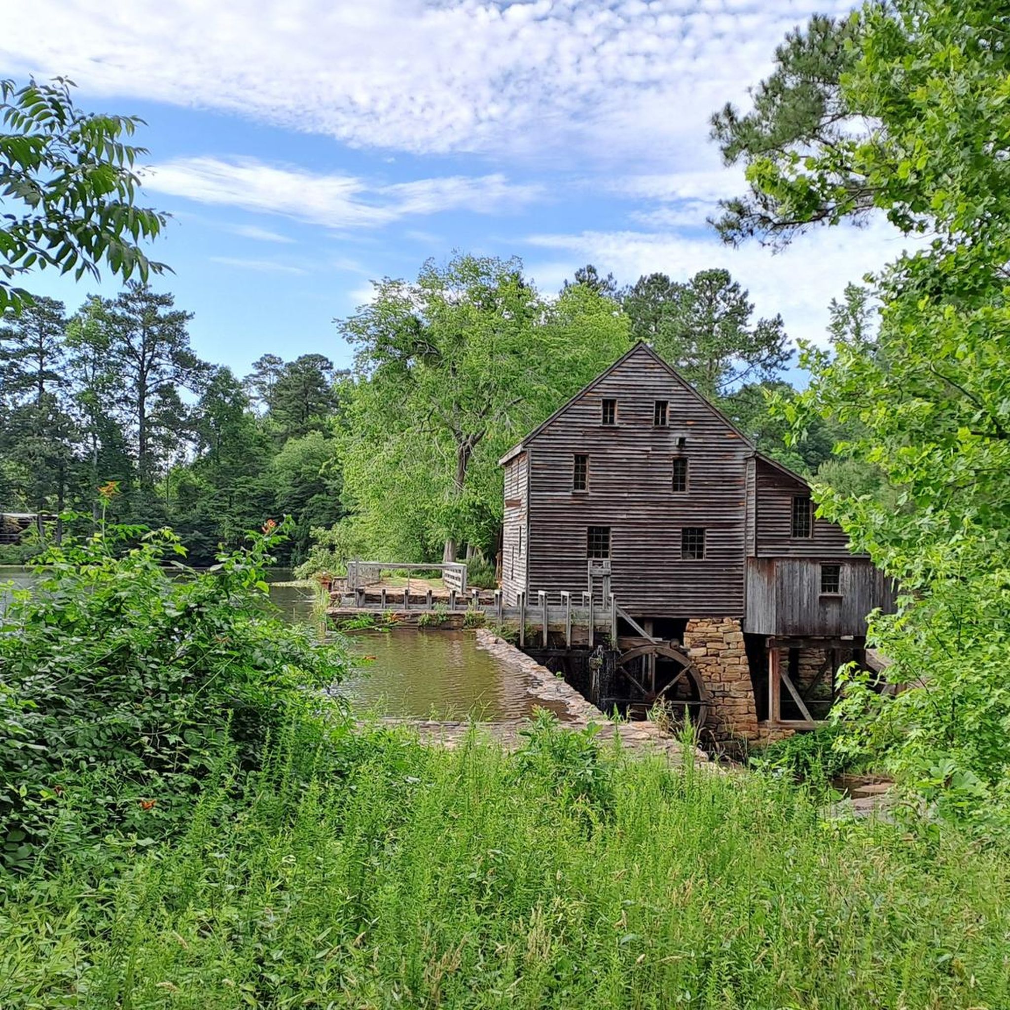
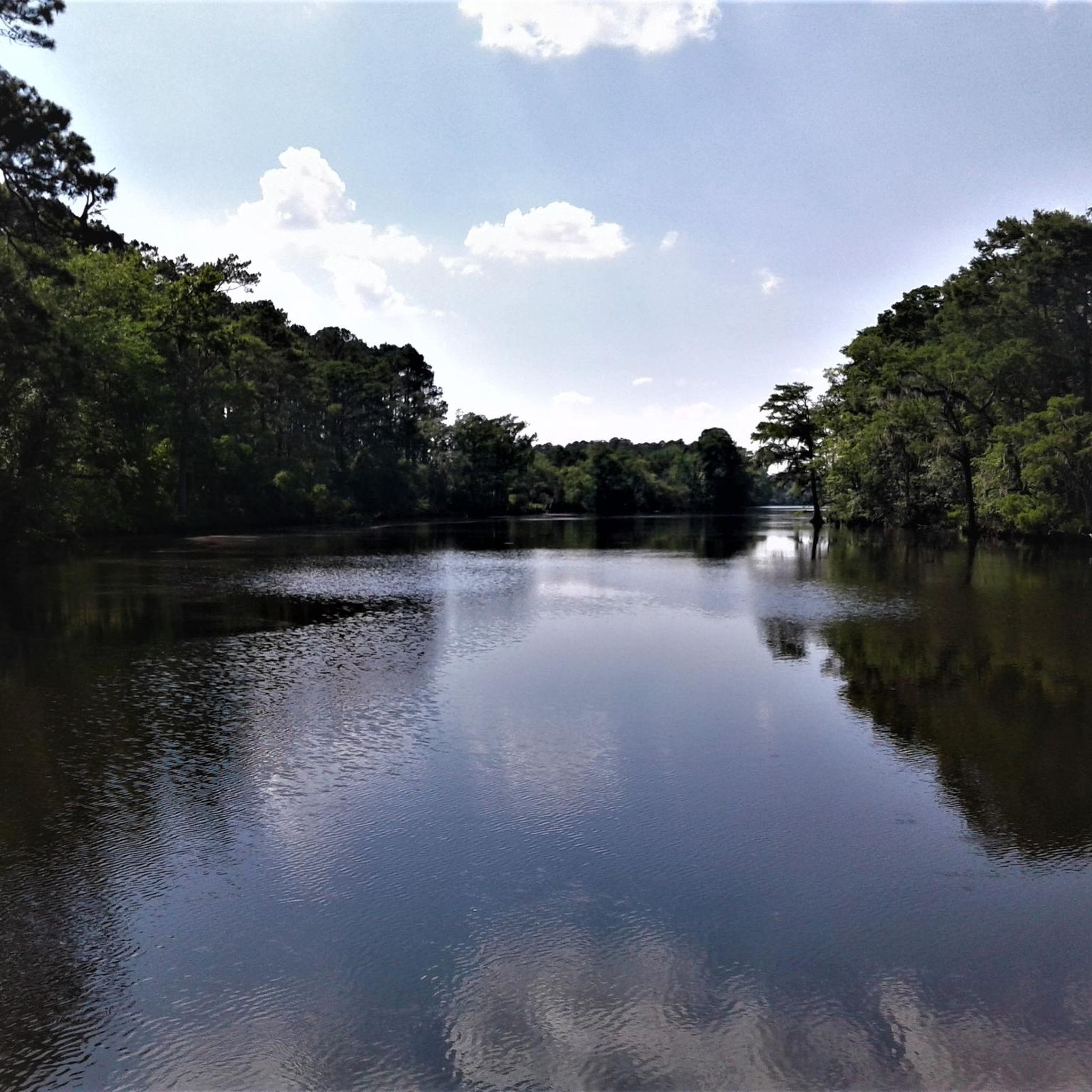


Tips from the Community

Reedy Creek Greenway is a great spot for race biking, with a mix of shaded trails and open spaces. The path is well-maintained, with a few gentle hills that keep things interesting. It’s a peaceful ride through nature, with scenic views that make it feel like a nice escape without leaving the city too far behind.
0
0
Trenton Road offers a fast, open route for race biking with long stretches of smooth pavement. The road cuts through rural landscapes, offering clear views and minimal traffic, making it ideal for uninterrupted speed. It’s a great option for riders looking for a straightforward ride with some gentle inclines to mix things up.
0
0

Sam's Branch Greenway Trail is a short, but beautiful multiuse trail in Clayton. The trail runs through beautiful woods and next to a creek before joining up with the Clayton River Walk.
1
0
Legend Park is a nice suburban park in Clayton. The park has a ball field, picnic area and some mountain bike trails. The Sam's Branch Greenway Trail also runs through the park.
1
0
The Neuse River Trail is a 27-mile trail that runs through Raleigh. This section runs through Randleigh Farm and changes from woodland to open farmland and fields. The path at this point is paved and mostly flat, so it is not a challenging section of the trail to walk.
0
0
Crabtree Creek Trail is a 14.9-mile multiuse trail that follows the creek of the same name. This section of the trail winds through beautiful green spaces and several parks.
0
0
With over 520 acres of land, Crabtree Park is a pleasant park in Raleigh with a lake, gardens, and self-named trail.
0
0

Anderson Point Park is a 90-acre park that is home to the historic Anderson Family Homestead, as well as walking trails, an amphitheater, and sports fields.
0
0
Frequently Asked Questions
How many road cycling routes are available around Garner?
Based on komoot data, there are over 110 road cycling routes in the Garner area, catering to various skill levels, with more than half of them rated as easy.
Are there easy or beginner-friendly road cycling routes in Garner?
Yes, Garner offers many easy routes suitable for beginners and families. The terrain is generally flat to gently rolling, making it accessible. An example is the Reedy Creek Greenway loop from Lonnie Poole Golf Course, which is 14.2 miles long and leads through greenway paths.
What kind of terrain can I expect on road cycling routes in Garner?
The road cycling routes around Garner feature a landscape characterized by a network of greenways, urban parks, and suburban roads. The terrain is generally flat to gently rolling, with minimal significant elevation changes, making it accessible for various skill levels.
Are there longer road cycling routes for experienced riders near Garner?
Yes, for those looking for longer rides, routes like the Anderson Point Park – Williamson Preserve entry loop from Clayton offer a substantial challenge. This route is 31.1 miles long and connects multiple parks and preserves.
What are some scenic road cycling routes with viewpoints in Garner?
While specific viewpoints along road cycling routes are not always marked, many routes pass through scenic areas. You can find natural beauty around Lake Raleigh or along the Neuse River, which are often accessible from various cycling paths. The Milburnie Overlook is another point of interest in the area.
Are there any loop road cycling trails in Garner?
Yes, many road cycling routes in Garner are designed as loops, offering convenient starting and ending points. Popular examples include the Moore Square – Downtown Raleigh loop from Shaw University, which provides an urban cycling experience, and the Anderson Point Park loop from Randleigh Farm for a shorter option.
What attractions can I see along the road cycling routes in Garner?
Many routes in Garner pass by or near various attractions. You can cycle past Anderson Point Park, explore areas around Lake Raleigh, or enjoy views of Lake Wheeler. The House Creek Greenway is also a notable trail in the vicinity.
What do other road cyclists enjoy the most about road cycling in Garner?
The road cycling routes in Garner are highly rated by the komoot community, with an average score of 4.4 stars from more than 20 reviews. Cyclists often praise the varied terrain, which includes greenways, urban parks, and suburban roads, offering options for different ability levels.
Are there road cycling routes that go through downtown areas?
Yes, for an urban cycling experience, you can explore routes like the Moore Square – Downtown Raleigh loop from Shaw University. This route takes you through downtown areas, offering a different perspective of the region.
Are there any moderate difficulty road cycling routes in Garner?
Yes, Garner offers routes of moderate difficulty for those looking for a bit more challenge. An example is the Shelley Lake – Lafayette Village loop from Tryon Place Townhomes, which covers 30.5 miles and features more elevation gain than the easier routes.
What is the best time of year for road cycling in Garner?
Garner, North Carolina, generally offers pleasant cycling conditions during spring and fall, when temperatures are mild and humidity is lower. Summer can be hot and humid, while winter is typically mild but can have occasional cold snaps.
Most popular routes around Garner
Most popular attractions around Garner

Get inspired with the komoot mobile app


Explore more
Browse the best Road cycling routes in other regions.
