The best running trails around Cragsmoor
10
runners
4
runs
If you've ever tried to plan jogging around Cragsmoor, you know how quickly the sheer number of routes can feel overwhelming. It's tough to tell which trails are genuinely worth your time and effort, and which are just filler. That's where we come in. Our komoot community has explored, mapped, and reviewed these paths, so we've done the legwork to bring you a curated shortlist of the very best jogging routes Cragsmoor has to offer.
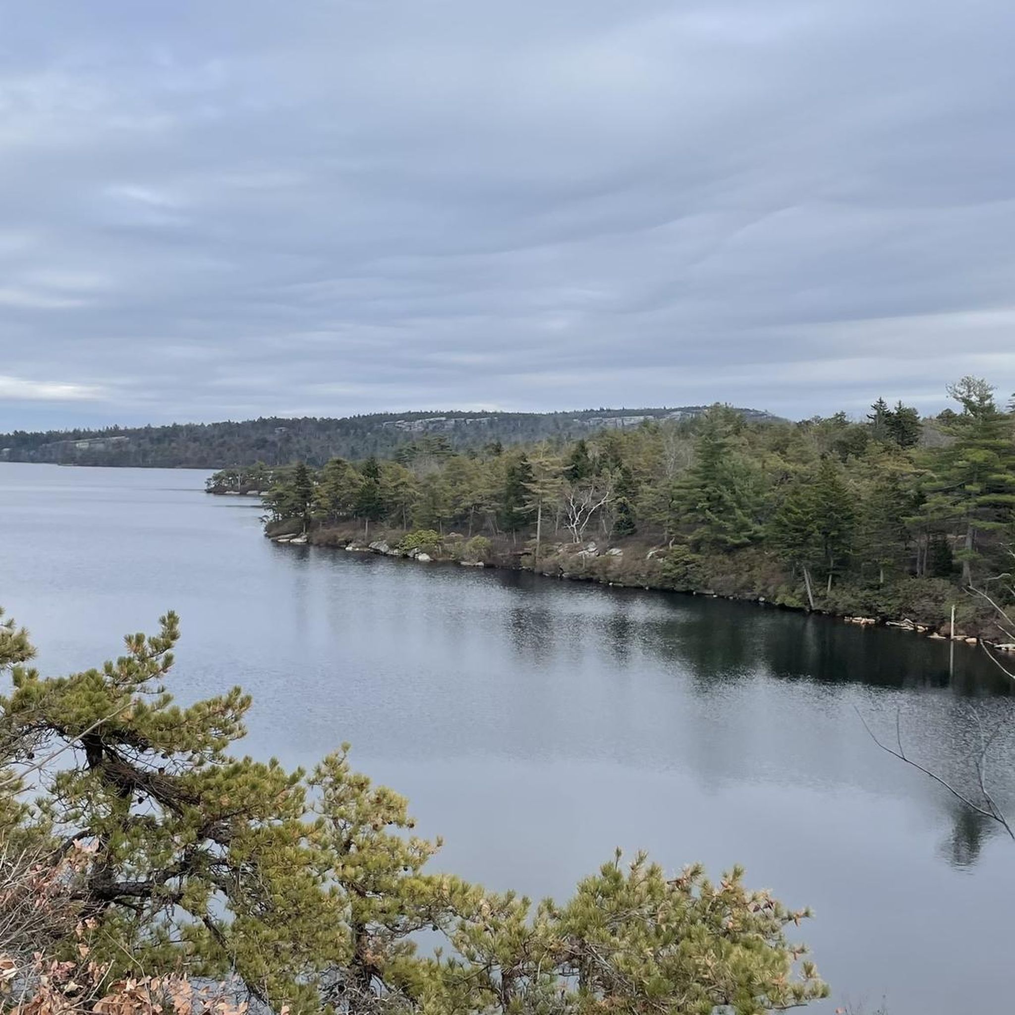
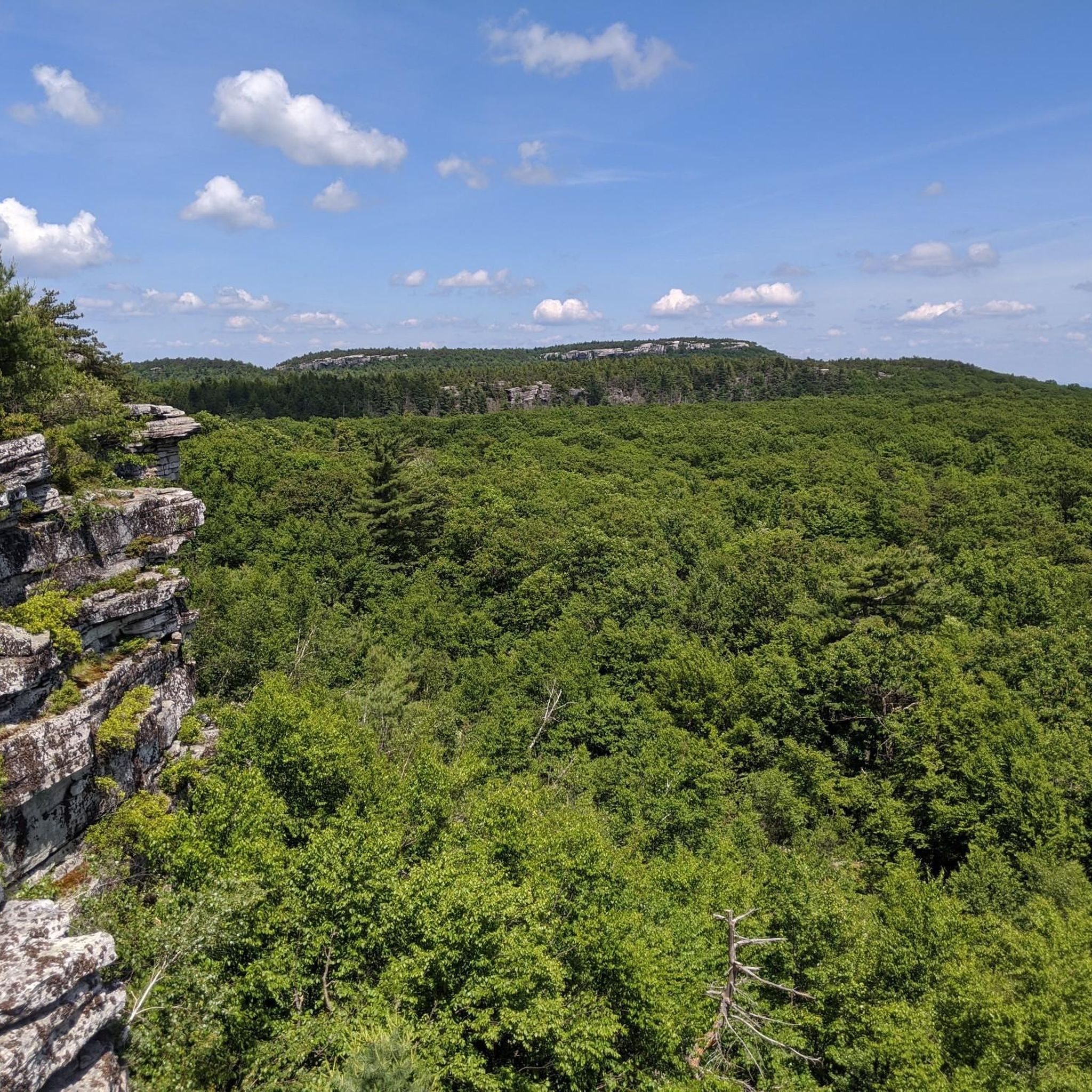
Jogging here means embracing the dramatic landscapes of the Shawangunk Ridge, with its distinctive white quartz cliffs and unique ridgetop dwarf pine barrens. You'll find everything from accessible paths to more rugged, forested areas, often with panoramic views of the Catskill Mountains and the valleys below. The terrain is varied, offering a good mix of easy loops and more strenuous routes.
If you only do one route, make it the Verkeerderkill Falls and High Point Loop. This 8.6 miles (13.8 km) route delivers the tallest waterfall in the Shawangunks and incredible views, blending runnable carriage roads with more challenging rocky sections. For a slightly shorter, unique experience, the Ice Caves and Lake Maratanza Loop, at 4.3 miles (6.9 km), lets you explore fascinating quartz caves and a scenic sky lake. More than 9 runners have already discovered these trails with komoot; now it's your turn to explore.
Last updated: May 31, 2026
5
runners
13.8km
01:30
260m
260m
The Verkeerderkill Falls and High Point Loop offers a truly dynamic jogging experience, winding through a unique dwarf pitch pine barrens ecosystem. You'll traverse everything from smooth carriage roads to rocky, technical sections, especially as you approach the stunning 187-foot Verkeerderkill Falls and the panoramic vistas from High Point. The route provides expansive views of the Shawangunk Mountains and the Hudson Valley, making for a visually rewarding 8.6-mile (13.8 km) journey.
This moderate route, with 842 feet (257 metres) of elevation gain, typically takes around 1 hour and 29 minutes to complete. Located in the Sam's Point Area of Minnewaska State Park Preserve, parking can fill up quickly, so plan an early start, especially on busy days. Keep in mind that the impressive waterfall's flow is best outside of dry summer months.
Beyond the falls and views, the trail is notable for its passage through one of the world's few remaining dwarf pine barrens, a fragile and unique habitat. You'll also encounter interesting geological features like the Ellenville Fault Ice Caves, which retain ice for much of the year, adding another layer of intrigue to this diverse loop.
2
runners
6.85km
00:49
180m
180m
The Ice Caves and Lake Maratanza Loop offers a truly distinctive jogging experience in the Sam's Point Area, blending smooth carriage roads with rugged, crevice-filled paths. You'll navigate the unique Ice Caves, where boardwalks and steps lead through cool, dark passages, before emerging to panoramic views from Sam's Point. This moderate 4.3-mile (6.9 km) route, with 604 feet (184 metres) of elevation gain, takes about 48 minutes to complete, but be ready to walk through the technical cave sections.
Planning your visit requires a bit of foresight, as the Ice Caves are only open from April to October, and reservations might be needed on busy weekends. The trailhead is easily accessible within Minnewaska State Park Preserve. While much of the route is runnable, the Ice Caves section demands careful navigation on foot, so don't expect to jog the entire 4.3 miles (6.9 km).
This trail is notable for its globally rare dwarf pitch pine barrens and the stunning Lake Maratanza, the highest of the Shawangunk Mountains' Sky Lakes. The dramatic cliffs of Shawangunk Conglomerate and expansive views from Sam's Point, potentially spanning five states on a clear day, make this a visually rewarding route for those who appreciate unique geological and ecological features.

Sign up for free
10.7km
01:21
210m
210m
The Lippman Park Trail System loop offers a refreshing jogging experience through varied terrain, from pristine woodlands to hillside sections. You'll navigate flowing dirt trails and encounter unique man-made features like wood gaps and bridges, adding an engaging twist to your run. The route provides a dynamic journey, ensuring there's always something new to see and feel underfoot.
This moderate 6.6-mile (10.7 km) loop, with 694 feet (211 metres) of elevation gain, typically takes about 1 hour and 20 minutes to complete. The trails are well-maintained and clearly marked, making navigation easy. Parking is readily available at the trailhead, and the park is pet-friendly, allowing you to bring your dog along for the adventure.
What sets Lippman Park apart is its blend of natural beauty and integrated trail features, originally designed for mountain biking but equally enjoyable for joggers. The system caters to all levels, with easier trails lower on the mountain and more challenging sections as you ascend. It's a great option if you're looking for a trail that offers more than just a simple path, providing a unique and engaging workout.
2
runners
4.83km
00:31
80m
80m
The Lake Maratanza loop from Cragsmoor offers a delightful and accessible jogging experience through a unique landscape. You'll follow wide carriage roads, winding through globally rare dwarf pitch pine barrens and past dramatic white quartz cliffs. The route culminates at the serene Lake Maratanza, a man-made "sky lake" that provides a tranquil focal point amidst the rugged scenery, often accompanied by panoramic views of the Rondout and Wallkill Valleys.
This easy 3.0-mile (4.8 km) jogging loop involves a gentle 260 feet (79 metres) of elevation gain, making it a quick outing that takes approximately 31 minutes. It's an excellent choice for beginner joggers or anyone seeking a high-reward, low-effort trail. Access is typically via the main trailhead parking near Cragsmoor, and while the carriage roads are generally smooth, be prepared for potentially wet or muddy sections, especially after rain.
Part of the Sam's Point Area of Minnewaska State Park Preserve, this trail showcases one of the world's premier examples of dwarf pitch pine barrens. Beyond the natural beauty, you might spot historical remnants like old berry pickers' shack ruins, adding a touch of local history to your run. The area is also abundant with blueberry and huckleberry bushes, making it particularly appealing in late summer.
2
runners
4.89km
00:34
140m
140m
Moderate run. Good fitness required. Mostly paved surfaces. Suitable for all skill levels.
Our route recommendations are based on thousands of hikes, rides, and runs completed by other people on komoot.
Start today with a free account
Your next adventure awaits.
Login or Signup


Tips from the Community

Verkeerder Kill Falls is the 180-foot (about 57 meters) waterfall you're referring to. It's the highest waterfall in the Shawangunk Mountains of New York State. Located in Sam's Point Preserve, it's only accessible via a hiking trail that leads to the top of the falls. https://www.nelnet.it.com
0
0

Lippman Park is home to a bunch of trails that were designed with mountain biking in mind. Foot traffic is still allowed on the trails, but it's probably best to step aside for all bikes regardless of the scenario since we are out in their territory. The singletrack trails are still fantastic for hiking and running, and there are a bunch of different loop options. The trails aren't super well-marked, though, so it's probably best to take your komoot map with you.
0
0
The Ice Caves in Minnewaska State Park are a cool collection of quartz caves and cliffs known as the Ice Caves. Most caves aren't made of rocks that are as hard as quartz (most cave systems are limestone and consist of the soft mineral calcite). There are some tight trails that make a fun loop through the caves.
0
0
The Ice Caves in Minnewaska State Park are a cool collection of quartz caves and cliffs known as the Ice Caves. Most caves aren't made of rocks that are as hard as quartz (most cave systems are limestone and consist of the soft mineral calcite). There are some tight trails that make a fun loop through the caves.
0
0

Lippman Park is a lovely setting to enjoy nature. The park is approximately 115 acres, with a small lake. There are also approximately 15 miles of single track mountain bike trails here, with varying levels of difficulty. The Renegades Mountain Bike Club have developed the trails.
1
0
Lippman Park is a lovely setting to enjoy nature. The park is approximately 115 acres, with a small lake. There are also approximately 15 miles of singletrack mountain bike trails here, with varying levels of difficulty. The Renegades Mountain Bike Club have developed the trails.
0
0

This trail is part of the Lippman trail system where you will find rocky sections, bridges, jumps, and fast, winding singletrack.
0
0

Frequently Asked Questions
What kind of terrain can I expect on running routes around Cragsmoor?
Running routes in Cragsmoor, situated on the Shawangunk Ridge, offer a diverse range of terrain. You'll encounter distinctive white quartz cliffs, ridgetop dwarf pine barrens, and varied forested areas. Trails range from accessible paths with some paved sections to more rugged, natural surfaces, catering to different fitness levels.
Are there any easy running routes suitable for beginners or families in Cragsmoor?
Yes, Cragsmoor offers easy running options. For instance, the Lake Maratanza loop from Cragsmoor is an easy 4.8 km (3 miles) path, perfect for a relaxed run. The Minnewaska State Park Preserve also features accessible paths, making some sections suitable for families.
Can I find routes with waterfalls or scenic viewpoints in the Cragsmoor area?
Absolutely! Cragsmoor is known for its stunning natural features. The Verkeerderkill Falls and High Point Loop takes you past the tallest waterfall in the Shawangunks and offers panoramic views. You can also explore highlights like Verkeederkill Falls, Rainbow Falls, and the High Point viewpoint.
Are there any unique natural attractions to see while running in Cragsmoor?
Yes, the region boasts unique geological features. The Ice Caves and Lake Maratanza Loop allows you to explore fascinating quartz caves. The Shawangunk Ridge itself is characterized by distinctive white quartz cliffs and ridgetop dwarf pine barrens, offering a unique backdrop for your run.
What do other runners say about the jogging routes in Cragsmoor?
While specific ratings are not available, over 9 runners have used komoot to explore Cragsmoor's varied terrain. The area is highly regarded for its dramatic mountain scenery, unique geological features, and well-maintained trails within state preserves, making it an exceptional destination for outdoor activities.
Are there any circular running routes available in Cragsmoor?
Yes, several routes in the area are circular, allowing you to start and end at the same point. Examples include the Verkeerderkill Falls and High Point Loop, the Ice Caves and Lake Maratanza Loop, and the Lippman Park Trail System loop.
What is the best time of year to go running in Cragsmoor?
Cragsmoor offers beautiful running conditions throughout much of the year. Autumn is particularly stunning, especially at Bear Hill Preserve, where blueberry bushes turn vibrant red in October, complementing the panoramic views. Spring and summer also provide lush scenery, while winter can offer unique snowy landscapes, though trail conditions may vary.
Are there any fees or permits required for running on trails in Cragsmoor?
Some areas around Cragsmoor, such as Minnewaska State Park Preserve (which includes the Sam's Point Area) and Bear Hill Preserve, may require entrance fees or permits. It's advisable to check the specific requirements for the preserve you plan to visit before heading out.
Are the running trails in Cragsmoor dog-friendly?
Many trails in the Cragsmoor area, particularly within state parks and preserves, have specific rules regarding dogs. While some may allow leashed dogs, others might restrict them. Always check the regulations of the specific park or preserve you intend to visit to ensure it's dog-friendly.
Where can I find parking for the running routes in Cragsmoor?
Most major trailheads within Minnewaska State Park Preserve (Sam's Point Area) and other preserves typically offer designated parking areas. It's recommended to research the specific trailhead for your chosen route to confirm parking availability and any potential fees.
Are there any long-distance running opportunities in Cragsmoor?
Yes, Cragsmoor is intersected by The Long Path, an extensive hiking trail. This provides ample opportunities for long-distance running, allowing you to explore different sections of the path and extend your run beyond individual loops.
What kind of facilities, like cafes or restaurants, are available near the running routes?
Cragsmoor is a small community, but you may find local cafes or eateries in the surrounding towns. For more options, you might need to venture slightly further from the immediate trailheads. It's a good idea to pack water and snacks, especially for longer runs.
Most popular routes around Cragsmoor
Most popular attractions around Cragsmoor

Get inspired with the komoot mobile app


Explore more
Browse the best Running Trails & Routes in other regions.
