The best running trails around Coram
4.5
(4)
188
runners
15
runs
Jogging around Coram, New York, offers diverse landscapes for runners, featuring numerous parks and well-maintained trail systems. The region is characterized by varied natural features, including old-growth forests, farmlands, and meadows. These areas provide scenic and varied running routes, making Coram an appealing destination for outdoor activity.
Best jogging routes around Coram
- The most popular jogging route is Running loop from Stony Brook, a 4.6 miles (7.5 km) trail that takes about 45 minutes to complete. This route offers a pleasant run near the Stony Brook area.
- Another top favourite among local runners is Running loop from Setauket, a moderate 4.8 miles (7.7 km) path. This route winds through areas featuring old-growth forests and open meadows.
- Local runners also love the Old Mill Creek loop from Setauket, a 9.1 miles (14.7 km) trail leading through woodlands and wetlands, often completed in about 1 hour 30 minutes.
- Jogging around Coram is defined by its diverse parks, old-growth forests, and open meadows. The network of routes offers options for different ability levels, from easy paths to more challenging moderate trails.
- The routes in Coram are highly rated by the komoot community with an average score of 4.5 stars from a handful of reviews. More than 100 runners have used komoot to explore Coram's varied terrain.
Last updated: September 30, 2026
5.0
(1)
35
runners
7.38km
00:46
60m
60m
Moderate run. Good fitness required. Mostly paved surfaces. Suitable for all skill levels.
5.0
(1)
27
runners
7.73km
00:48
60m
60m
Moderate run. Good fitness required. Mostly paved surfaces. Suitable for all skill levels.

4.0
(1)
5
runners
14.7km
01:34
160m
160m
Moderate run. Good fitness required. Mostly paved surfaces. Suitable for all skill levels.
4.0
(1)
5
runners
12.2km
01:18
150m
150m
Moderate run. Good fitness required. Mostly paved surfaces. Suitable for all skill levels.
5
runners
6.41km
00:40
70m
70m
Moderate run. Good fitness required. Mostly paved surfaces. Suitable for all skill levels.
Get access to more routes and recommendations from other explorers.
Already have an account?
Our route recommendations are based on thousands of hikes, rides, and runs completed by other people on komoot.
Start today with a free account
Your next adventure awaits.
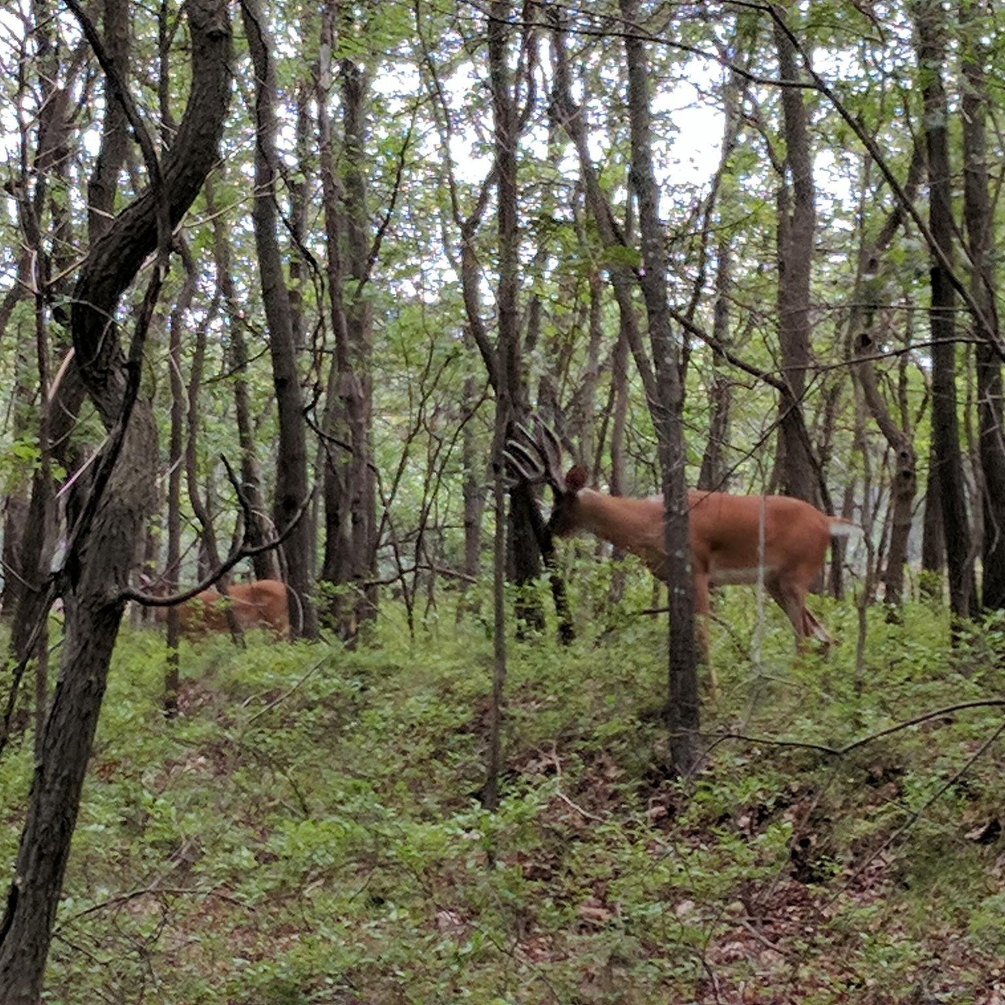
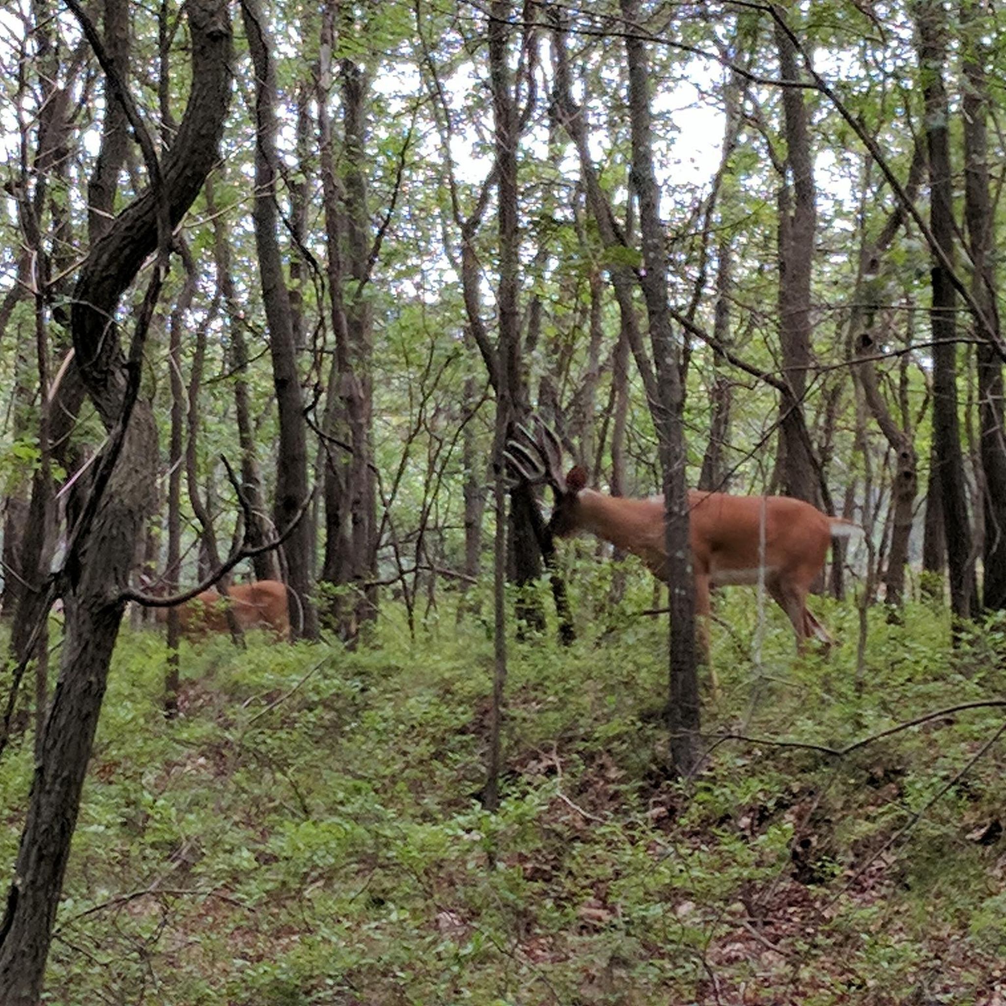
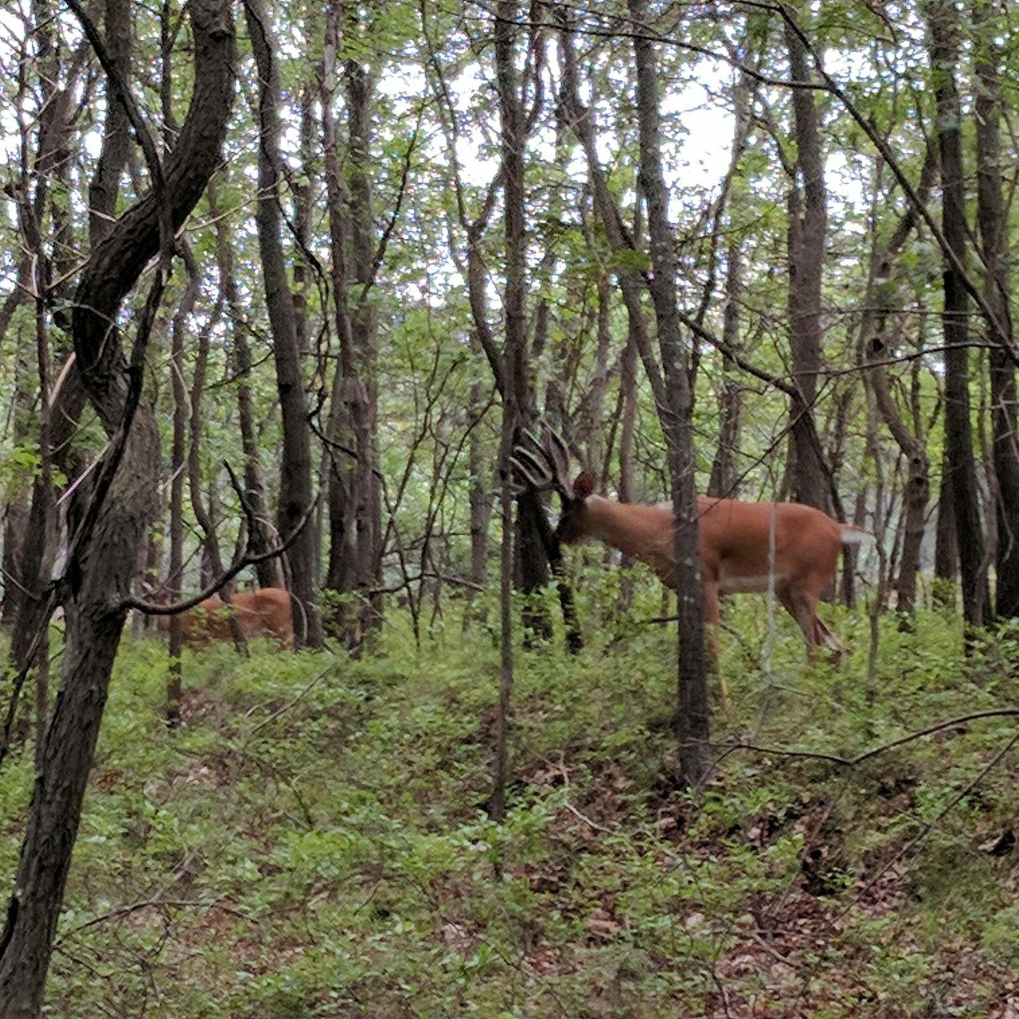
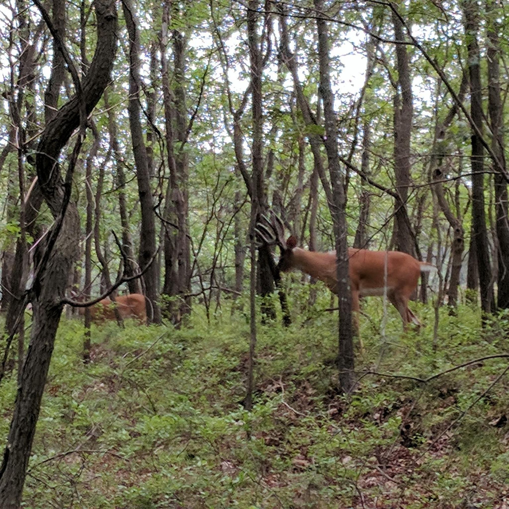
Tips from the Community

The Setauket-Port Jefferson Station Greenway Trail, or Setauket Greenway, is a 3-mile paved path on Long Island’s north shore. It connects scenic old-growth forests, farmland, meadows, business districts, Stony Brook University, and county parks. The trail features a mix of wooded sections and occasional sunny spots, with several road crossings, and some short sections that pass through utility corridors and sand pits.
0
0
Frequently Asked Questions
How many running routes are available around Coram?
Komoot offers nearly 20 diverse running routes around Coram, New York. These routes cater to various preferences, ranging from easy paths to more challenging moderate trails, ensuring options for different ability levels.
What kind of terrain can I expect on jogging trails in Coram?
Jogging routes in Coram feature a diverse range of landscapes. You can expect to run through old-growth forests, open meadows, and farmlands. Many trails, like those in the Avalon Nature Preserve, also include woodlands and wetlands, offering varied scenery.
Are there any easy running routes for beginners in Coram?
Yes, there are easy options suitable for beginners. For instance, the Running loop from Stony Brook University is an easy 4.45 km (2.8 miles) path, perfect for a more relaxed run.
What are some popular scenic spots or landmarks to see while running in Coram?
Coram offers several scenic spots. The Setauket-Port Jefferson Station Greenway Trail meanders through old-growth forests and meadows. You can also explore the extensive forest trails of Glacier Ridge Preserve or enjoy the tranquil woodlands and wetlands of Avalon Nature Preserve.
Are there any long-distance running options in the Coram area?
For those seeking longer runs, the Old Mill Creek loop from Setauket is a notable option. This moderate trail spans 14.7 km (9.1 miles) and takes about 1 hour 30 minutes to complete, leading through woodlands and wetlands.
What do other runners say about the trails in Coram?
The running routes in Coram are highly rated by the komoot community, with an average score of 4.5 stars. Runners often praise the diverse natural settings, including quiet woodlands and open meadows, which provide a refreshing backdrop for their runs.
Are there any running trails that connect to local amenities or points of interest?
Yes, the Setauket-Port Jefferson Station Greenway Trail is a great example. It not only offers scenic natural views but also connects to business districts, Stony Brook University, and various county parks, allowing for varied experiences during your run.
Are there any parks in Coram specifically highlighted for runners?
Yes, David Overton Nature Park is explicitly mentioned as an ideal destination for runners. Its lush greenery and well-maintained trails provide a refreshing ambiance for an invigorating run. Other parks like Diamond in the Pines Park also offer well-maintained trails suitable for running.
Can I find circular running routes in Coram?
Many of the routes around Coram are designed as loops, offering convenient circular paths. Examples include the Running loop from Stony Brook and the Running loop from Setauket, allowing you to start and finish at the same point.
What are the best times of year to go jogging in Coram?
Coram's temperate climate makes it suitable for year-round outdoor activities. Parks like David Overton Nature Park are highlighted for their natural beauty through changing seasons, suggesting that spring, summer, and fall offer pleasant conditions, while winter running is also possible.
Where can I find more information about local parks and recreation in Coram?
For additional information on parks and recreational services in the area, you can visit the Brookhaven Town Parks Recreation & Human Resources Department website: brookhavenny.gov.
Are there any running trails with significant elevation changes in Coram?
While Coram's routes are generally moderate, some do feature noticeable elevation changes. For example, the Running loop from Farmingville includes over 60 meters of ascent and descent, providing a good workout for those looking for some varied terrain.
Most popular attractions around Coram

Get inspired with the komoot mobile app


Explore more
Browse the best Running Trails & Routes in other regions.
