The 20 Most Amazing Peaks around Neubeuern
Best mountain peaks around Neubeuern offer a range of hiking opportunities within view of the Bavarian Alps. While Neubeuern itself is not directly home to towering peaks, it serves as a base for exploring various trails leading to noteworthy viewpoints and lower mountain summits. The region features diverse natural formations, including accessible summits and scenic gorges. These areas provide varied terrain for outdoor activities.
Best mountain peaks around Neubeuern
- The most popular mountain peaks is Kranzhorn Summit (Two Summit Crosses)…
Last updated: August 2, 2026
Kranzhorn Summit
Highlight • Summit
Translated by Google •
Tip by

Farrenpoint summit
Highlight • Summit
On good days you can even see Munich ...
Translated by Google •
Tip by

Sign up now to discover places like this
Get recommendations on the best single tracks, peaks, & plenty of other exciting outdoor places.
Sign up for free
Hochries summit
Highlight • Summit
Translated by Google •
Tip by

Rampoldplatte Summit Cross
Highlight • Summit
Translated by Google •
Tip by

Schuhbräu-Alm
Highlight • Mountain Hut
Translated by Google •
Tip by

Sign up for free to discover even more peaks around Neubeuern.
Sign up for free
Already have an account?
Start today with a free account
Your next adventure awaits.
Login or Signup
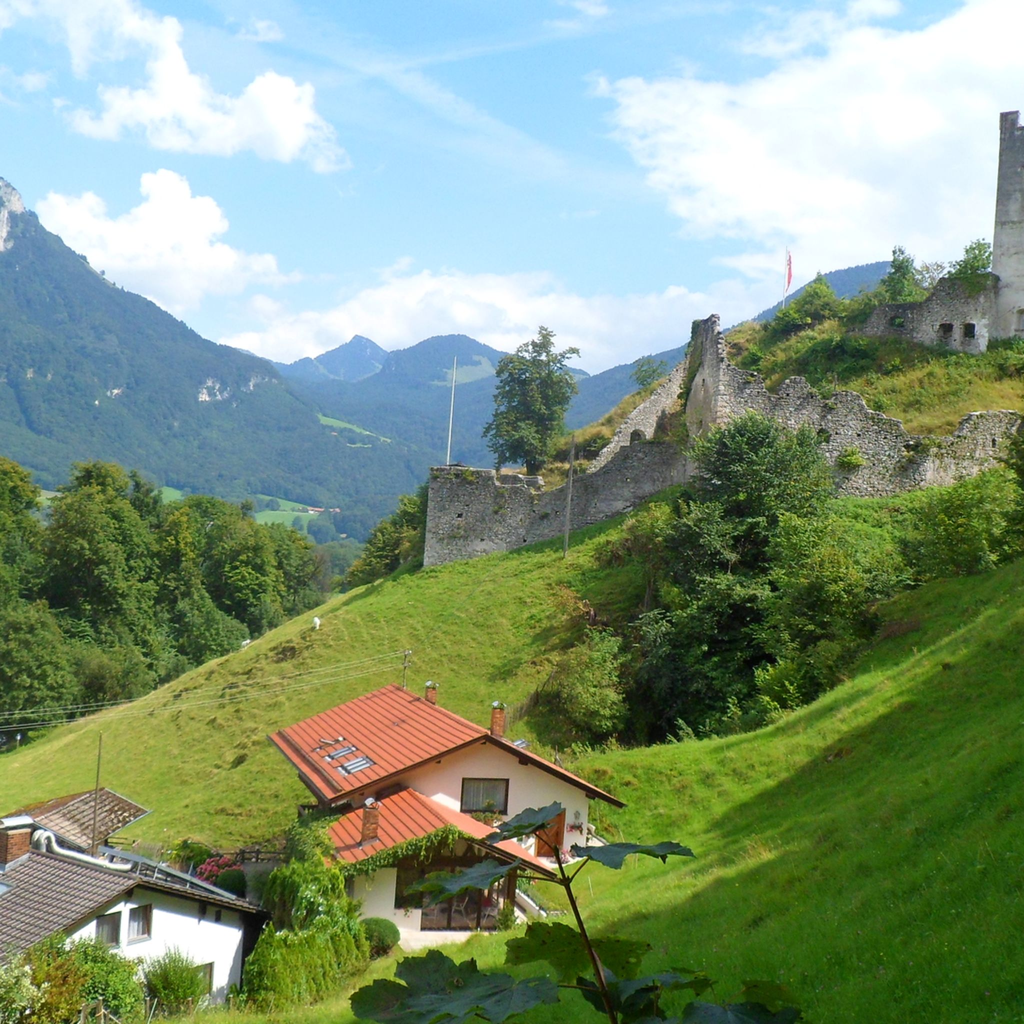
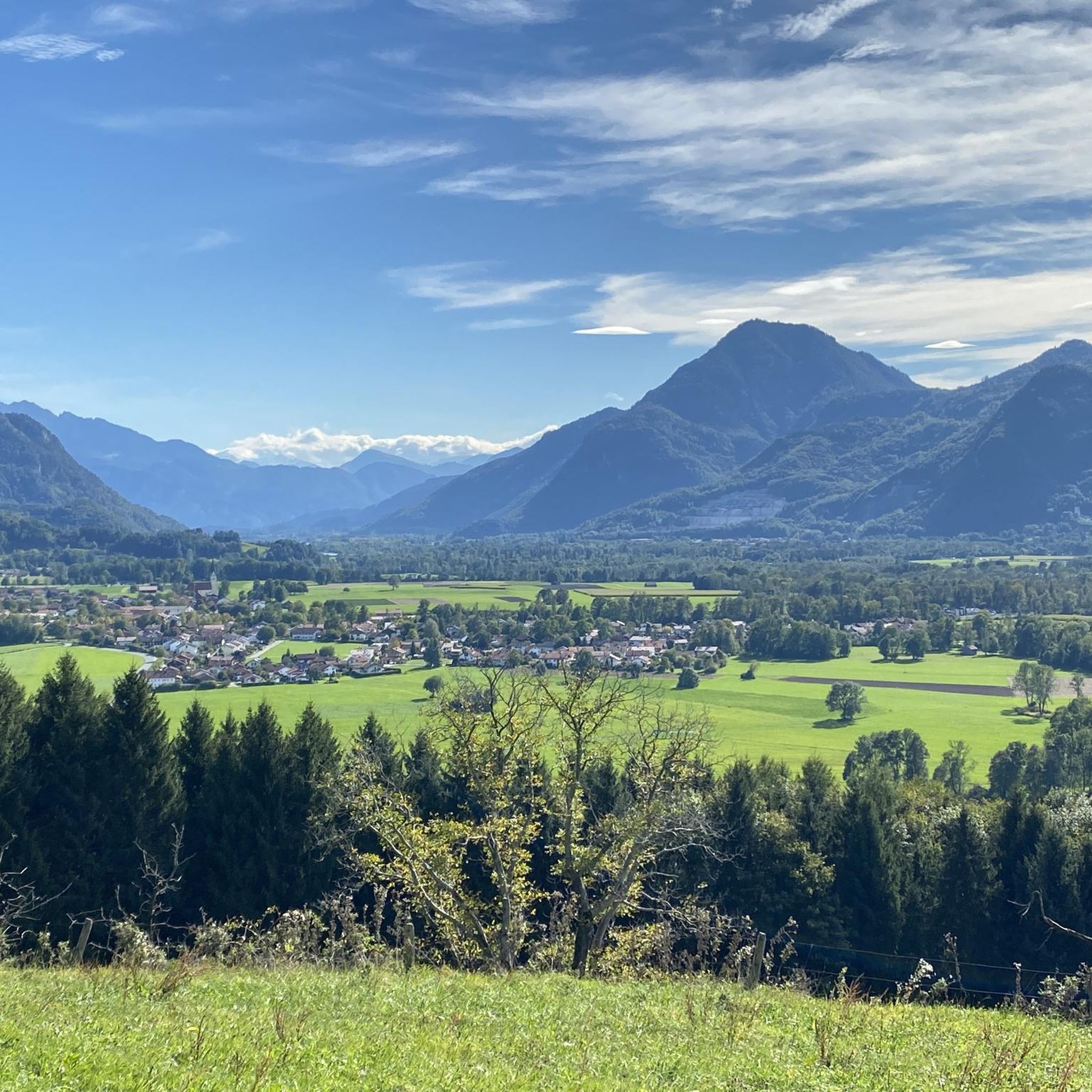
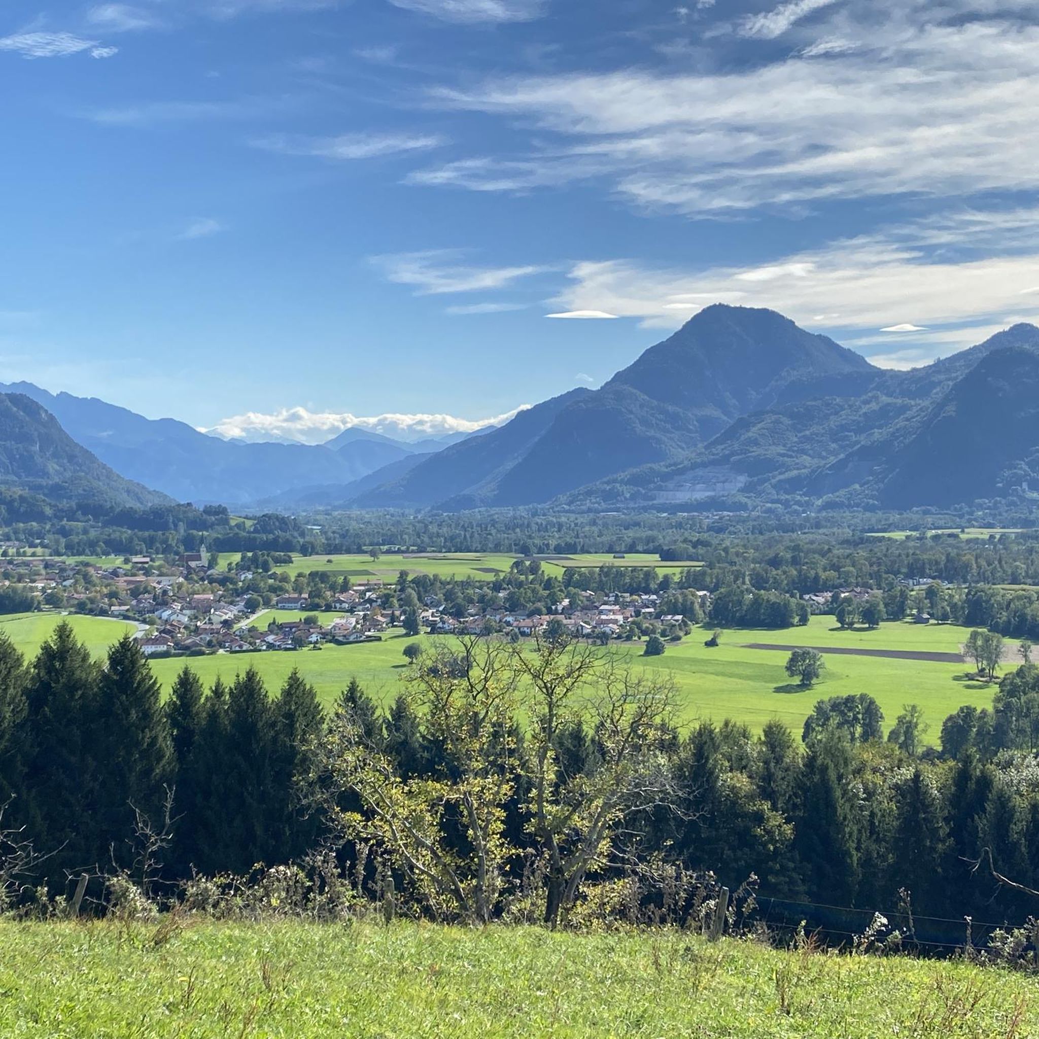
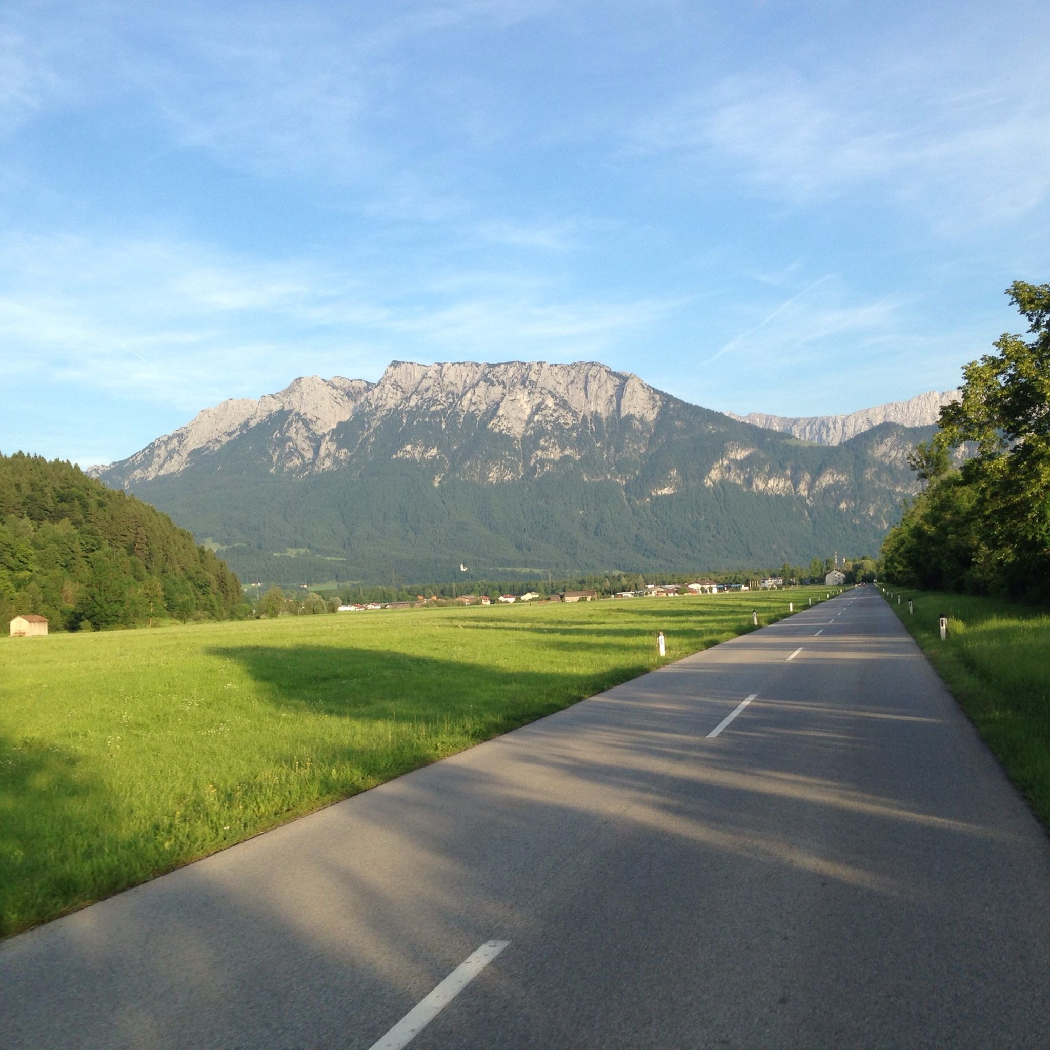

Tips from the Community

The Schubräu-Alm is located at an altitude of 1,157 meters and offers you a nice place to stop off during your hike in the Mangfall Mountains. Here you can recharge your batteries in the cozy parlor or on the terrace with delicious food and refreshing drinks. You can also stay overnight here. The Alm is open from May to October. Mondays and Tuesdays are closed. You can find more information about opening times at https://www.schuhbräu-alm.de/.
3
1

Easily accessible summit with a great panoramic view, but accordingly also often (very) well visited.
2
0

A great hut... with good food, good breakfast and a beautiful view (you can even see the Großglockner). We had 3 4-bed rooms with our group and were super satisfied. There was even a toilet and a sink in every room. Showers were extra.
1
0

Beautiful summit with a wonderful view over the foothills of the Alps!
5
0

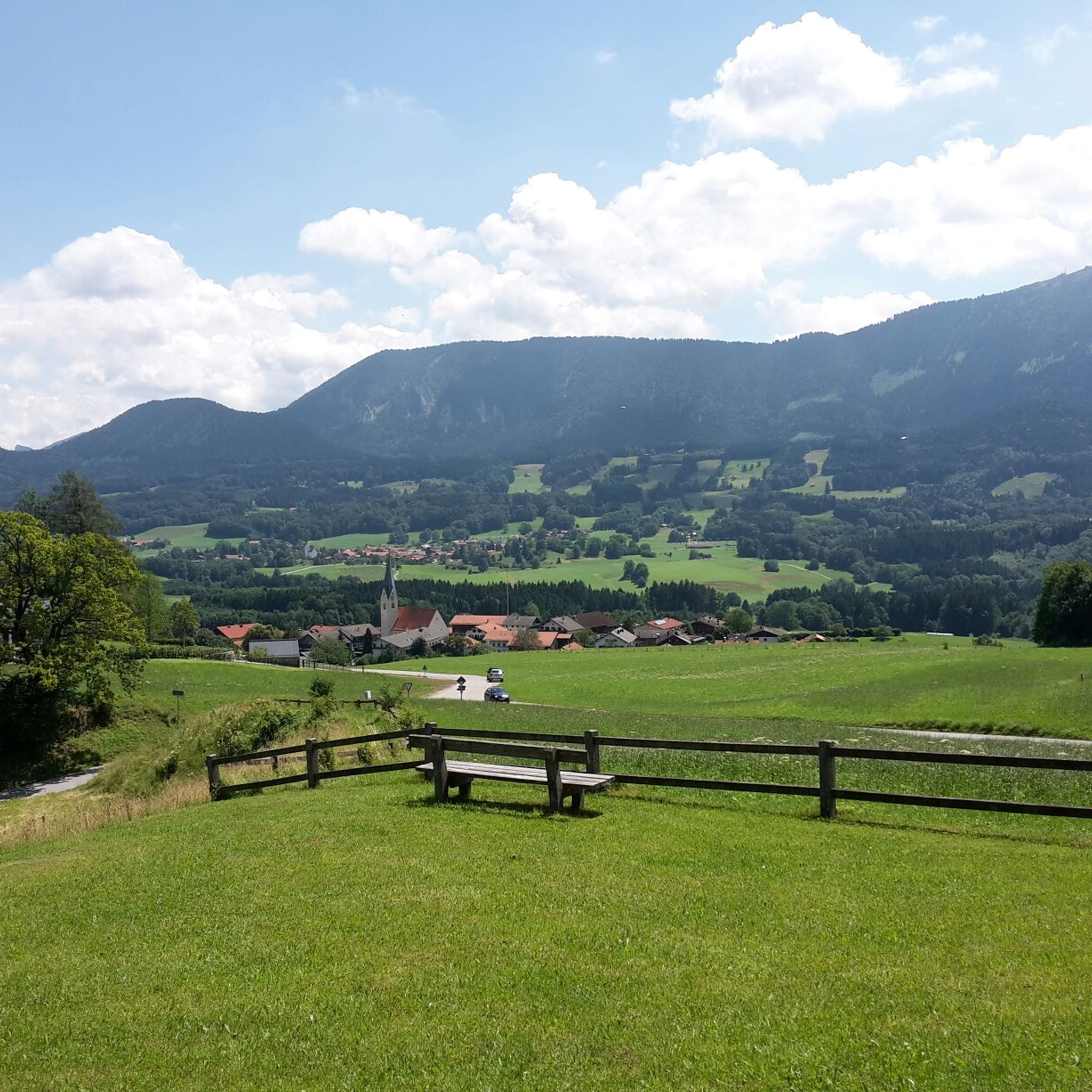
Very nice panorama of the valley!
4
0

...a specially fenced bicycle parking space has been set up right next to the no-biking sign in front of the alpine pasture - here your MTB will not be "inspected" or licked by the grazing animals...
3
0

Relaxed, less demanding hike with a beautiful view u.A. via Wendelstein/Breitenstein/Soinwand/Hochsalwand and into the valley. In the ascent to the summit in the forest, it can be Batzig.
3
1

The ghosts are arguing about the name "Farrenpoint". In Bavarian-Austrian, a "point" refers to a small estate or a fenced-in corridor. So far so good. It is more difficult with the word component "Farren". This could indicate either young bulls or ferns (duden.de/suchen/dudenonline/Farre). So we either have a bull pasture or a fern pasture. In any case, leaving aside the lengths of the forest road, it is an enjoyable climb from Bad Feilnbach to the Farrenpoint summit. The alpine landscape around the summit and Huberalm is beautiful and the views to the north and south are very rewarding. Next to the summit cross there is also a trigonometric point from the Institute for Geodesy of the University of the Federal Armed Forces in Munich. In addition to the exact latitude, longitude and altitude (47°44′36″N 12°02′07″E, 1274.30m), the distance to the north tower of the Munich Frauenkirche is given: 55.926 km.
8
2
Frequently Asked Questions
What are the most popular mountain peaks to explore near Neubeuern?
Some of the most popular mountain peaks in the vicinity include Kranzhorn Summit (Two Summit Crosses), known for its magnificent views over the Inn Valley and its unique dual summit crosses marking the German-Austrian border. Another highly regarded peak is Hochries summit, offering diverse paths from easy to challenging, and even cable car access. Rampoldplatte Summit Cross also provides beautiful panoramic views over the foothills of the Alps.
Are there any family-friendly mountain walks or easy routes near Neubeuern?
While Neubeuern is a base for exploring various summits, the region offers options suitable for families. For an easier, unique experience, consider the Farrenpoint summit, which is one of the northernmost mountains of the Alps in Bavaria and offers spacious grounds for picnics and great views. Additionally, the nearby Wolfsschlucht (Wolf Gorge) provides an easy, fairytale-like loop hike through a historic millstone quarry, suitable for all fitness levels.
What kind of views can I expect from the mountain peaks around Neubeuern?
The mountain peaks around Neubeuern offer diverse and expansive views. From Kranzhorn Summit, you'll get a magnificent panorama of the Inn Valley. Farrenpoint summit provides an all-round view stretching from the Rosenheim basin, Inn, and Simssee to the distant Chiemsee, and even the Zillertaler, Großglockner, and Wilder Kaiser on clear days. Spitzstein Summit offers an unrestricted mountain panorama over the Inn and Chiemsee.
Are there any challenging mountain climbs for experienced hikers near Neubeuern?
Yes, for experienced hikers seeking a challenge, Spitzstein Summit is a must-do. It's a rocky summit with a cross and chapel, accessible via beautiful, challenging climbs. The ascent offers an unrestricted mountain panorama. Hochries summit also features challenging paths for those looking for a more strenuous climb.
What natural features, besides peaks, can be found in the Neubeuern area?
Beyond the mountain peaks, the Neubeuern area boasts unique natural features. The Wolfsschlucht (Wolf Gorge) is a former quarry with high rocks and tall trees, recognized as a natural monument and one of Bavaria's 100 most beautiful geotopes. The Inn Valley itself, visible from many summits, is a prominent natural landmark. You can also find the Inn River and Simssee in the broader landscape.
What outdoor activities can I do near these mountain peaks?
The region around Neubeuern offers a variety of outdoor activities. Besides mountain hiking, you can explore numerous trails for gravel biking and running. For more detailed routes, check out the Gravel biking around Neubeuern guide, the Mountain Hikes around Neubeuern guide, and the Running Trails around Neubeuern guide.
Are there any huts or places to eat on the mountain trails near Neubeuern?
Yes, some mountain areas offer huts or accommodations. For instance, the Kranzhorn Summit area has the Kranzhorn Alm, which is recommended for a stop. Hochries summit is known for having a hut, accommodation, pub, and restaurant facilities near its mountain station, making it a convenient stop for refreshments.
What is the best time to visit the mountain peaks around Neubeuern for hiking?
The best time to visit for hiking generally depends on the specific trail and your preferences. Spring to autumn typically offers the most favorable conditions for mountain hikes. While the region is beautiful year-round, winter hiking conditions can vary, and some trails may require special equipment or experience due to snow and ice. Always check local conditions before heading out.
Are there any mountain peaks near Neubeuern that are less crowded?
While popular peaks like Hochries can get busy, especially with cable car access, exploring other summits or lesser-known routes can offer a quieter experience. Farrenpoint summit, with its large spacious grounds, allows visitors to find a quiet spot and enjoy the peace. Exploring the various routes to peaks like Dandlberg, which is a local favorite, can also lead to less crowded paths.
What makes Kranzhorn Summit unique among the peaks near Neubeuern?
Kranzhorn Summit (Two Summit Crosses) is unique for two main reasons: its magnificent view over the Inn Valley and, more notably, its two summit crosses. These crosses mark the German-Austrian state border, offering a special curiosity for visitors at the top.
Can I access any of the mountain peaks by cable car near Neubeuern?
Yes, Hochries summit, located on the edge of the Chiemgau Alps, is accessible by cable car, providing an easier way to reach the summit and enjoy the views without a strenuous climb. This makes it a popular destination for a wider range of visitors.
What historical or cultural points of interest are near the mountain peaks?
While the focus is on natural peaks, the region does have historical elements. The Wolfsschlucht (Wolf Gorge) is notable for its historic millstone quarry, which is recognized as a natural monument. Additionally, the broader Neubeuern area, with its picturesque village and castle, offers a glimpse into local Bavarian culture and history, serving as a charming base for your mountain explorations.
Most popular routes around Neubeuern
Most popular attractions around Neubeuern

Get inspired with the komoot mobile app


Explore more
See even more amazing summits around Neubeuern with these guides:
