The best walks and hikes around Seton Village
4.7
(30)
304
hikers
22
hikes
Hiking around Seton Village offers routes through the foothills of the Sangre de Cristo Mountains, just south of Santa Fe, New Mexico. The landscape is characterized by piñon-juniper woodlands and natural-surface trails that ascend to viewpoints over the surrounding area. The region's trail network provides access to several prominent local hills and peaks.
Best hiking trails around Seton Village
- The most popular hiking route is the Atalaya Mountain Trail — Santa Fe National Forest, a 6.2 mile (10.0 km) trail that takes about 3 hours 22 minutes to complete. This route involves a steady ascent through ponderosa pine and juniper forest.
- Another top favourite among local hiking enthusiasts is the Picacho Peak & Atayala Mountain loop — Dale Ball Trails, a moderate 6.5 mile (10.5 km) path. The trail features switchbacks leading to the summits of both Picacho Peak and Atalaya Mountain.
- Local hiking enthusiasts also love the Dorothy Stewart Trail – Santa Fe, New Mexico, a 1.9 mile (3.1 km) trail leading through piñon and juniper woodland, often completed in about 52 minutes.
- Hiking around Seton Village is defined by ascents into the Sangre de Cristo foothills, paths through piñon-juniper woodlands, and routes with views of the Jemez Mountains. The trail network offers options for different ability levels, from short loops to more demanding hill climbs.
- The routes in Seton Village are highly rated by the komoot community with an average score of 4.4 stars from more than 15 reviews. More than 200 hikers have used komoot to explore Seton Village's varied terrain.
Last updated: October 11, 2026
4.3
(3)
27
hikers
8.92km
03:02
470m
470m
The Atalaya Mountain via Atalaya Trail and Dale Ball Trails Loop offers a classic Santa Fe hiking experience, guiding you through diverse ecosystems from piñon-juniper woodlands to ponderosa pine forests. As you climb, the terrain shifts from smooth paths to rockier, steeper sections, culminating in expansive views of Santa Fe and the surrounding mountain ranges from a prominent rock outcropping near the summit. This 5.5-mile (8.9 km) moderate hike with 1550 feet (472 metres) of elevation gain is a fantastic way to immerse yourself in the local landscape.
Plan for a roughly 3-hour and 2-minute journey, keeping in mind that the trail is popular due to its proximity to Santa Fe. The trailhead is just a short drive from downtown, making it an easy escape. While no permits are required, consider starting early, especially on weekends, to secure parking and enjoy the trail before it gets too busy. Fall is particularly scenic with the aspens turning golden, but be mindful of potentially icy conditions at higher elevations during colder seasons.
This trail is a local favorite, renowned for its accessibility and the stunning panoramic views it delivers. It's part of the larger Dale Ball Trail system, offering opportunities for extended exploration if you're feeling ambitious. The ecological diversity you encounter, from high desert flora to different forest types, makes it a fascinating natural journey right on Santa Fe's doorstep.
7
hikers
6.85km
02:15
310m
310m
The Dale Ball Trails offer a diverse hiking experience just outside Santa Fe, winding through piñon-juniper woodlands that transition to ponderosa and fir trees at higher elevations. You'll navigate hard-packed dirt, rocky sections, and switchbacks, with the reward of stunning views of the city and the Rio Grande valley, especially from points like Picacho Peak. Keep an eye out for sparkling crystalline rock formations and vibrant wildflowers in spring.
Planning your visit is straightforward, as the trails are well-marked and accessible from Santa Fe. This moderate 4.3-mile (6.8 km) route, with 1020 feet (311 metres) of elevation gain, typically takes around 2 hours and 14 minutes. It's open year-round, but always carry plenty of water and wear sturdy shoes due to the high desert conditions and varied terrain.
This extensive network, named after its designer Dale Ball, is a popular multi-use destination for hikers, runners, and mountain bikers. Its accessibility and varied difficulty levels make it a local favorite, offering a refreshing natural escape close to the city. Leashed dogs are welcome, adding to its appeal for many visitors.

3
hikers
9.48km
02:43
240m
210m
This moderate 5.9-mile (9.5 km) loop, typically taking around 2 hours and 43 minutes, offers a dynamic journey through the Santa Fe National Forest. You'll experience a fascinating transition from high-elevation mountain views, including prominent peaks like Shaggy Peak and Atalaya Mountain, down into a vibrant canyon floor. The trail features a mix of traditional paths and dirt roads, with varied tree and plant life, streams, and the chance to spot wildlife near the creek, all while gaining 773 feet (236 metres) in elevation.
To plan your visit, note that the trailhead sits at approximately 8,100 feet. The Apache Canyon Loop is known for its year-round accessibility due to a good balance of sun and shade, making it a great option in any season. Its less-trafficked nature means you can often enjoy a more solitary experience, and parking is generally available at the trailhead. No specific permits are typically required for this hike.
What makes this trail stand out is its diverse natural environment and the rewarding experience it offers without being overly strenuous. It provides a unique blend of expansive mountain vistas and the intimate, lush setting of the canyon floor. This less-known route is a hidden gem for those seeking dramatic views and a peaceful escape within the Santa Fe National Forest, offering a different perspective than more popular routes in the area.
1
hikers
2.34km
00:44
150m
0m
The Saint John's Trail (174) offers a delightful, quick immersion into Santa Fe's high desert landscape, winding through aromatic piñon and juniper forests. You'll navigate the unique terrain, including descents into the Arroyo de los Chamisos, which the path crosses twice, and follow the drainage of Arroyo Cabezon. This easy 1.5-mile (2.3 km) hiking route, with 494 feet (151 metres) of elevation gain, is a fantastic way to experience the region's natural beauty in about 43 minutes.
Planning your visit to the Saint John's Trail (174) is straightforward, thanks to its large parking area, which can be a real bonus when other trailheads are full. The trail is generally accessible from spring through fall, offering a pleasant experience in the high desert climate. Be aware that the initial section traverses private land, so always stick to the marked path to respect property boundaries.
This trail is particularly notable as a popular and convenient gateway to the more extensive Trail 170, which leads to the summit of Atalaya Mountain for those seeking a longer adventure. Beyond hiking, the Saint John's Trail (174) is also a favorite among mountain bikers, adding to its diverse use. It's a great choice for beginners or anyone looking for a rewarding, shorter hike with the option to extend their journey.
1
hikers
18.1km
04:43
120m
150m
The Arroyo de los Chamisos Trail offers a unique blend of urban accessibility and natural beauty right in Santa Fe. You'll find yourself following a charming chamisa-lined arroyo, with glimpses of local flora like Rubber Rabbitbrush and Eastern Cottonwood trees, all while enjoying distant mountain views. The trail is primarily paved, making for easy walking, but also features natural surface paths alongside for a more rustic feel. It's a moderate 11.2-mile (18.1 km) route with a gentle 404 feet (123 metres) of elevation gain, typically taking around 4 hours and 43 minutes to complete.
Planning your visit to the Arroyo de los Chamisos Trail is straightforward, as it's well-integrated into Santa Fe's urban fabric. You can access the trail from various points within residential areas and near community hubs, with parking generally available. It's a great option for a leisurely outing, and since it's an urban trail, you can often find nearby amenities like cafes after your hike. The trail is suitable for year-round enjoyment, though spring and autumn provide the most pleasant weather conditions.
What truly sets the Arroyo de los Chamisos Trail apart is its vital role as a connector within Santa Fe's urban trail system. It links parks, schools, shopping centers, and the Genoveva Chavez Community Center, making it a popular choice for locals seeking outdoor activity. The trail also connects to the longer Santa Fe Rail Trail, opening up possibilities for extended adventures. It's a family-friendly and dog-friendly path, perfect for a relaxed stroll or a longer walk within the city.
Get access to more routes and recommendations from other explorers.
Already have an account?
Our route recommendations are based on thousands of hikes, rides, and runs completed by other people on komoot.
Start today with a free account
Your next adventure awaits.


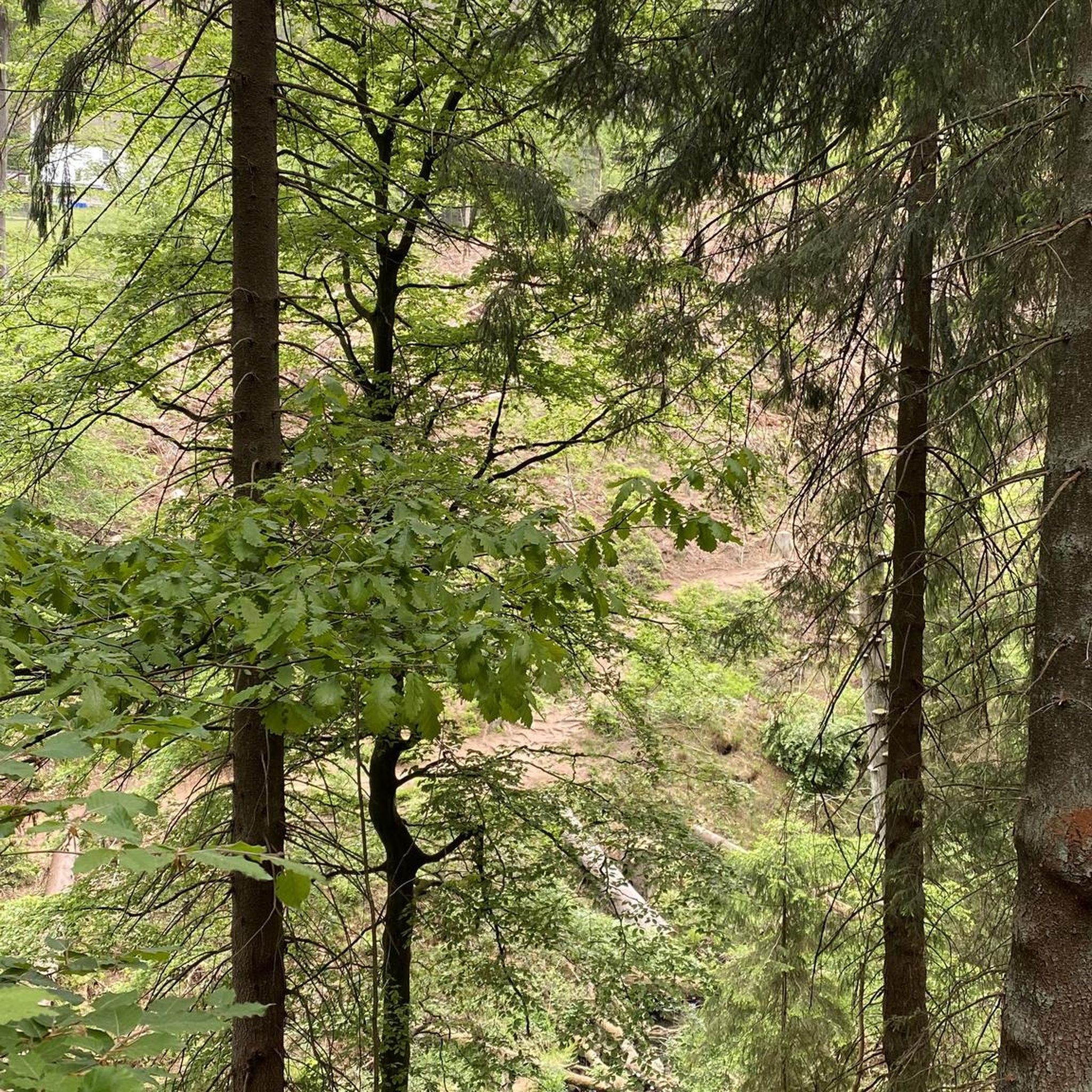

Tips from the Community

With 9,121 feet, Atalaya Mountain is one of the highest peaks around the city of Santa Fe. It is part of the Sangre de Cristo Range. Up here, you will be treated with a stunning view towards Santa Fe, Sun Mountain, Picacho Peak and Thompson Peak.
3
0
Picacho Peak is one of the summits very close to the city of Santa Fe. The hike is short – of course depending on your starting location – but will be steep. The stunning view is worth the effort and you can enjoy a great sunset if you stay until nightfall.
5
0

This is the southernmost trail head for the Dale Ball Trail system. The trail starts near St. John's College (there is parking specifically for the trail). Very easy access from downtown Santa Fe. Can't speak to public transportation, as walked to trail head (road has only occasional sidewalks, just fyi), but I did pass a couple of bus stops. Trail is well-marked, especially at the numbered junctions (at which there are also topography maps of the trails). There are also a number of trail heads and interlacing trails, so hikes or bike rides can be shorter or longer depending on what you want, even while out on the hills. On maps, this trail is called "St. John's Trail", but physical markers use the name "Atalaya Trail"; either way, you will follow markers for Trail 174. Lovely hike, with views of the Sangre de Cristo mountains and back across Santa Fe. Website: https://sfct.org/dale-ball-trails/
2
0
Frequently Asked Questions
Are the hiking trails around Seton Village suitable for families with children?
Yes, there are several family-friendly options. For an easy and relatively short walk through piñon and juniper woodland, consider the Dorothy Stewart Trail. It's a gentle loop that's great for all ages.
Can I bring my dog on the trails near Seton Village?
Most trails in the Santa Fe area, including those around Seton Village, are dog-friendly. However, they must be kept on a leash and you are expected to clean up after them. The extensive Dale Ball trail system is a popular choice for dog walkers.
Are there any circular or loop hikes available?
Yes, the area has some excellent loop trails. The Arroyo Hondo Open Space loop is a great choice, offering a pleasant walk without having to retrace your steps. Many routes within the Dale Ball Trails can also be combined to form loops.
What are the parking options for the main trailheads?
Parking is available at the primary trailheads for the Dale Ball Trails, Atalaya Mountain, and Sun Mountain. Popular spots like the St. John's College trailhead for Atalaya Mountain can fill up quickly, especially on weekends, so arriving early is recommended.
What is the difficulty of the Sun Mountain Trail?
The Sun Mountain Trail is considered an easy hike, but it does feature a short, steep climb with some rocky switchbacks to reach the summit. The effort is rewarded with excellent views, particularly at sunrise or sunset.
Are there any waterfalls on the hiking trails?
The hiking trails immediately around Seton Village are in a dry, high-desert environment and do not typically feature waterfalls. The routes focus more on ascending to viewpoints through piñon-juniper woodlands.
What do other hikers think of the trails around Seton Village?
The trails are highly regarded by the komoot community, with an average rating of 4.4 stars. Hikers often praise the well-maintained paths, the stunning panoramic views of Santa Fe and the surrounding mountains, and the accessibility of the trail network from the city.
What kind of scenery can I expect when hiking near Seton Village?
The landscape is classic New Mexico high desert. Expect trails that wind through piñon-juniper and ponderosa pine forests in the foothills of the Sangre de Cristo Mountains. As you gain elevation, the trees give way to expansive, panoramic views of the Jemez Mountains and the city of Santa Fe below.
What is the best time of year to hike in this area?
Hiking is possible year-round, but spring and fall offer the most pleasant temperatures. Summer mornings are also ideal, though afternoons can be very hot and are prone to thunderstorms. Winter hiking is possible, but trails can be icy or snowy, especially at higher elevations, so proper gear is essential.
Are there trails suitable for mountain biking?
Yes, many of the trails in the area are multi-use and popular with mountain bikers. The Dale Ball Trails, in particular, offer a fantastic network with a mix of smooth singletrack and more technical, rocky sections to suit various skill levels.
How challenging are the hikes around Seton Village?
There is a good mix of difficulties. You can find easy, relatively flat loops under 2.5 miles (4 km) as well as more moderate climbs with significant elevation gain. For a strenuous but rewarding challenge, the Atalaya Mountain Trail involves over 1,600 feet (500 m) of climbing.
What is the Dale Ball Trail system?
The Dale Ball Trails are an extensive, nearly 25-mile network of interconnected trails in the foothills southeast of Santa Fe. They are well-marked and offer a wide variety of routes for hiking and mountain biking, from easy strolls to challenging climbs like Picacho Peak. The Picacho Peak & Atayala Mountain loop is a popular route within this system.
Most popular attractions around Seton Village

Get inspired with the komoot mobile app


Explore more
Browse the best Hikes in other regions.
