The best MTB trails around Eichstegen
4.5
(606)
2,384
riders
503
rides
Mountain biking around Eichstegen offers diverse terrain across rolling hills, verdant meadows, and forested areas within the Ravensburg district. The region is characterized by varied elevations, including the nearby "Höchsten" mountain, providing opportunities for both challenging ascents and scenic rides. River valleys, such as those along the Schussen, and lakes like Waldsee, contribute to a landscape suitable for exploring on two wheels. This environment provides a mix of forest roads, gravel paths, and potential singletracks for mountain bikers.
Best mountain…
Last updated: November 8, 2026
4.4
(5)
9
riders
34.3km
02:20
280m
280m
Moderate mountain bike ride. Good fitness required. Advanced riding skills necessary.
5.0
(2)
5
riders
24.6km
01:30
180m
180m
Moderate mountain bike ride. Advanced riding skills necessary.

3.3
(3)
9
riders
32.8km
01:56
240m
240m
Easy mountain bike ride.
4.0
(1)
8
riders
26.5km
01:35
250m
250m
Moderate mountain bike ride. Advanced riding skills necessary.
5.0
(6)
6
riders
34.2km
02:16
280m
280m
Moderate mountain bike ride. Good fitness required.
Get access to more routes and recommendations from other explorers.
Already have an account?
Our route recommendations are based on thousands of hikes, rides, and runs completed by other people on komoot.
Start today with a free account
Your next adventure awaits.
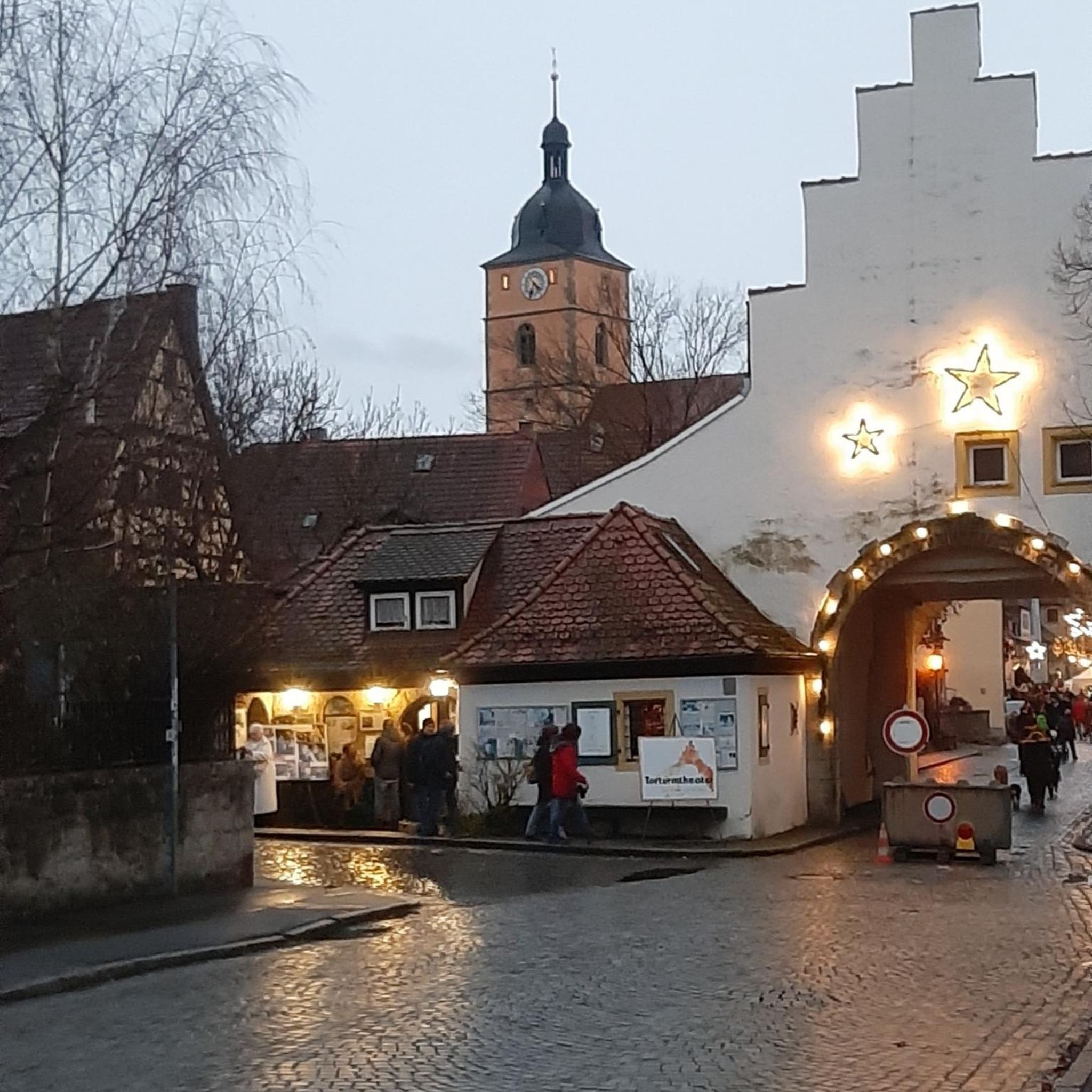
Tips from the Community


In 1869, the construction of the Herbertingen–Isny railway line connected Saulgau to the network of the Royal Württemberg State Railways. Today, a regional train runs hourly between Aulendorf and the district town of Sigmaringen, with a two-hourly IRE service via Tübingen to Stuttgart. Source: Wikipedia
0
0

Currently not accessible due to restoration...
0
0

The castle with its almost 1km long avenue
1
0

Opening hours must be observed, as of August 2024 😀 Tue, Wed, Thu closed Mon, Fri, Sat from 3:00 p.m. to 10:00 p.m. Sunday from 10:00 a.m.
1
0

The Catholic St. Blasius Chapel was renovated and re-consecrated in 2007. The chapel apparently dates back to the Thirty Years' War and offers very little space for believers. It is a wayside chapel for hikers (and cyclists?) who wanted to seek God's blessing along the way. The chapel is open during the day. It has a bell that makes a beautiful sight when you come from the higher part of the path. The parish has set up a rest area with a table and benches in front of the chapel. The Martinusweg of the Diocese of Rottenburg-Stuttgart, Zußdorf-Aulendorf stage, passes here. Sources: http://www.martinuswege.de/ausflugstipps-details-de.php?kategorie=23&id=2193 https://www.oberschwaben-tipps.de/st-blasius-wegkapelle-laubbronnen/
5
0

Beautiful winding street
1
0

The Schussen is a 59-kilometre-long tributary of Lake Constance and thus a right and northern tributary of the Rhine in the southern part of Baden-Württemberg in Germany.
4
0
Frequently Asked Questions
How many mountain bike trails are available around Eichstegen?
There are over 500 mountain bike routes around Eichstegen, catering to various skill levels. This includes 113 easy routes, 400 moderate routes, and 13 more challenging trails for experienced riders.
What kind of terrain can I expect on mountain bike trails in Eichstegen?
The region around Eichstegen features diverse terrain, including rolling hills, verdant meadows, and extensive forested areas. You'll encounter a mix of forest roads, gravel paths, and some potential singletracks. The nearby "Höchsten" mountain also offers opportunities for varied elevations and more challenging ascents.
Are there any easy or family-friendly mountain bike routes in the area?
Yes, Eichstegen offers a good selection of easy routes, with 113 trails suitable for less experienced riders or families. An example is the View of Lake Schreckensee – Gasthaus Hirsch Vorsee loop from Ebenweiler, an easy 24 km trail that takes about 1 hour 20 minutes to complete.
What are some notable natural features or landmarks I can see while mountain biking?
The trails often pass through scenic areas like the Schussen river valley, offering views of the surrounding landscape and small waterfalls. You might also encounter lakes such as Waldsee, Häckler Pond, or Five-sided Pond. For panoramic views, some routes may offer glimpses towards the "Höchsten" mountain. You can also visit the Bannwald Tower (Pfrunger-Burgweiler Ried) for a broader perspective of the region.
Are there any circular mountain bike routes around Eichstegen?
Yes, many of the mountain bike routes around Eichstegen are designed as loops. For instance, you could try the Hatzenturm Observation Tower – The Sonnenweg loop from Eichstegen, a moderate 30.8 km trail, or the easier View of the Countryside – Ebenweiler Weiher loop from Ebenweiler.
What do other mountain bikers say about the trails in Eichstegen?
The mountain biking routes in Eichstegen are highly rated by the komoot community, with an average score of 4.5 stars from over 500 reviews. More than 2000 mountain bikers have explored the varied terrain, often praising the scenic beauty of the rolling hills, forests, and river valleys.
When is the best time of year for mountain biking in Eichstegen?
Spring and autumn are particularly recommended for outdoor activities in Eichstegen. Spring brings flowering meadows and awakening nature, while autumn offers a spectacular display of changing leaf colors. The mild weather during these seasons makes for pleasant riding conditions.
Are there any routes that offer views of lakes?
Absolutely. The region is dotted with several lakes and ponds. The Blitzenreuter Lake District – View of Vorsee loop from Boms is a popular moderate route that offers extensive views of the lake district. Another option is the View of Lake Schreckensee – Gasthaus Hirsch Vorsee loop from Ebenweiler.
Can I find challenging mountain bike trails with significant elevation changes?
Yes, while the area is known for rolling hills, there are routes with more significant elevation gain, especially towards the "Höchsten" mountain. For example, the Rotach Valley – Höge Trail loop from Ebenweiler is a moderate 47.2 km path that navigates through varied terrain and features notable elevation changes.
Are there any specific points of interest or viewpoints along the trails?
Beyond natural beauty, you might encounter points of interest like the Schreckensee Observation Shelter. The region also features various ponds such as Häckler Pond and Five-sided Pond, which are popular spots for a break.
What is the typical duration for mountain bike tours in Eichstegen?
Tour durations vary widely depending on the route length and difficulty. Easy trails like the View of Lake Schreckensee – Gasthaus Hirsch Vorsee loop from Ebenweiler can be completed in about 1 hour 20 minutes, while longer moderate routes such as the Blitzenreuter Lake District – View of Vorsee loop from Boms might take around 3 hours 9 minutes.
Most popular attractions around Eichstegen

Get inspired with the komoot mobile app


Explore more
Browse the best MTB trails in other regions.
