The best walks and hikes around Stanhope
4.8
(16)
157
hikers
45
hikes
Hiking around Stanhope offers diverse landscapes within the North Pennines Area of Outstanding Natural Beauty and the Durham Dales. The region is characterized by rolling hills, expansive open moorlands, and picturesque river valleys, including the River Wear and its tributaries. The landscape also features a rich geological and mining heritage, with remnants of old limestone quarries and lead mining areas.
Best hiking trails around Stanhope
- The most popular hiking route is Five Pikes and the Elephant Trees loop from White…
Last updated: July 25, 2026
5
hikers
12.2km
03:19
170m
170m
The Jefferson Lake Bike Path, White and Teal Loop offers a refreshing escape into nature, winding through a mix of gravel, paved, and wooded paths. You'll enjoy wonderful views of…
3
hikers
4.26km
01:14
120m
110m
The Ranger Trail Loop in Byram Center, New Jersey, is a delightful and accessible hiking experience, perfect for a quick escape into nature. This easy 2.6-mile (4.3 km) route winds…

Sign up for free
1
hikers
24.7km
06:55
520m
430m
The Yellow, White, Green, and Sussex Branch Trail Loop offers a compelling blend of easy-going rail-trail and challenging mountain hiking. This difficult 15.3-mile (24.7 km) route, with its 1712 feet…
4.0
(1)
10
hikers
5.20km
01:24
60m
60m
The Jefferson Lake Loop offers a delightful stroll through varied landscapes, circling the serene Jefferson Lake. You'll find yourself navigating a rocky talus trail on the eastern bank, providing direct…
5.0
(1)
10
hikers
10.2km
02:52
210m
210m
Hike the moderate 6.3-mile Highlands and Pebble Trail Loop in Allamuchy Mountain State Park, featuring Jefferson Lake and scenic viewpoints.
Get access to more routes and recommendations from other explorers.
Sign up for free
Already have an account?
Our route recommendations are based on thousands of hikes, rides, and runs completed by other people on komoot.
Start today with a free account
Your next adventure awaits.
Login or Signup

Tips from the Community

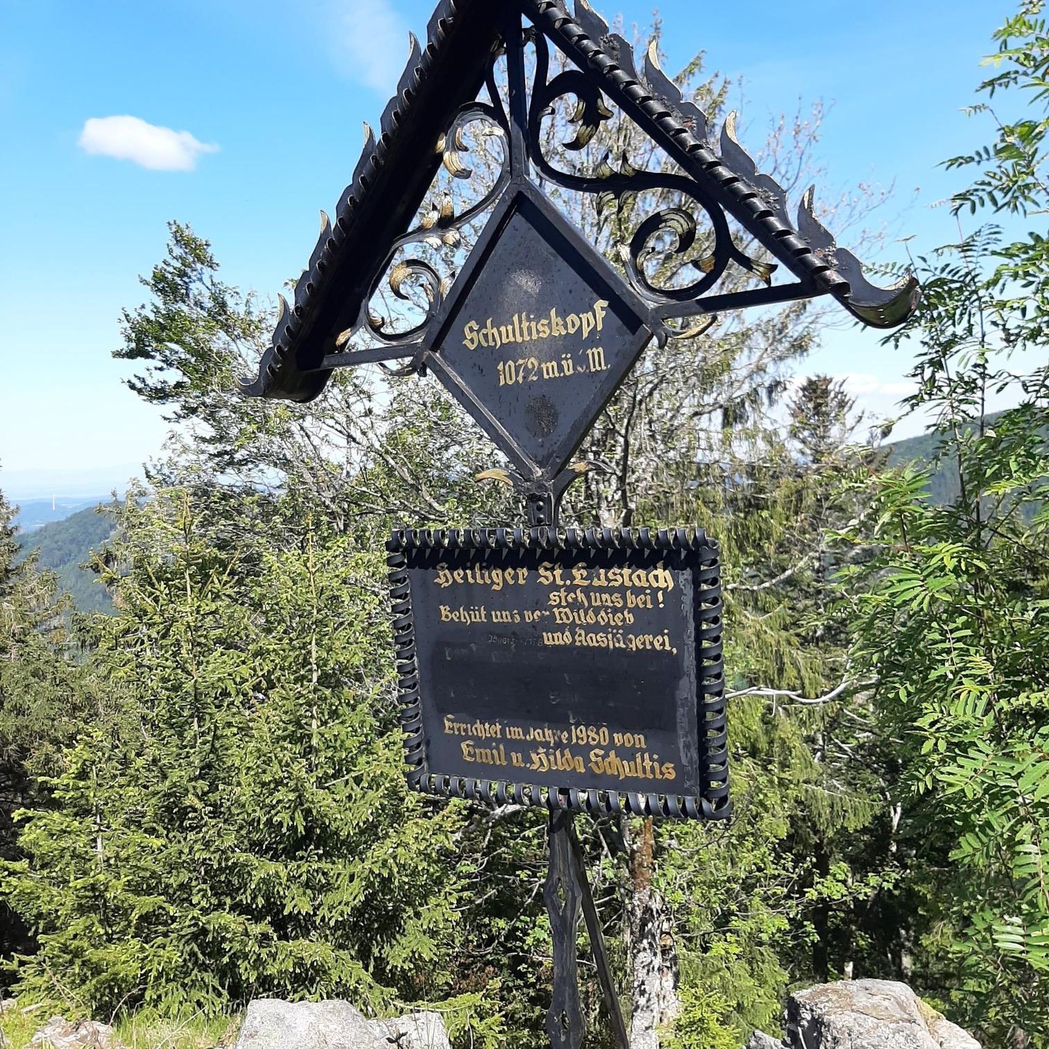
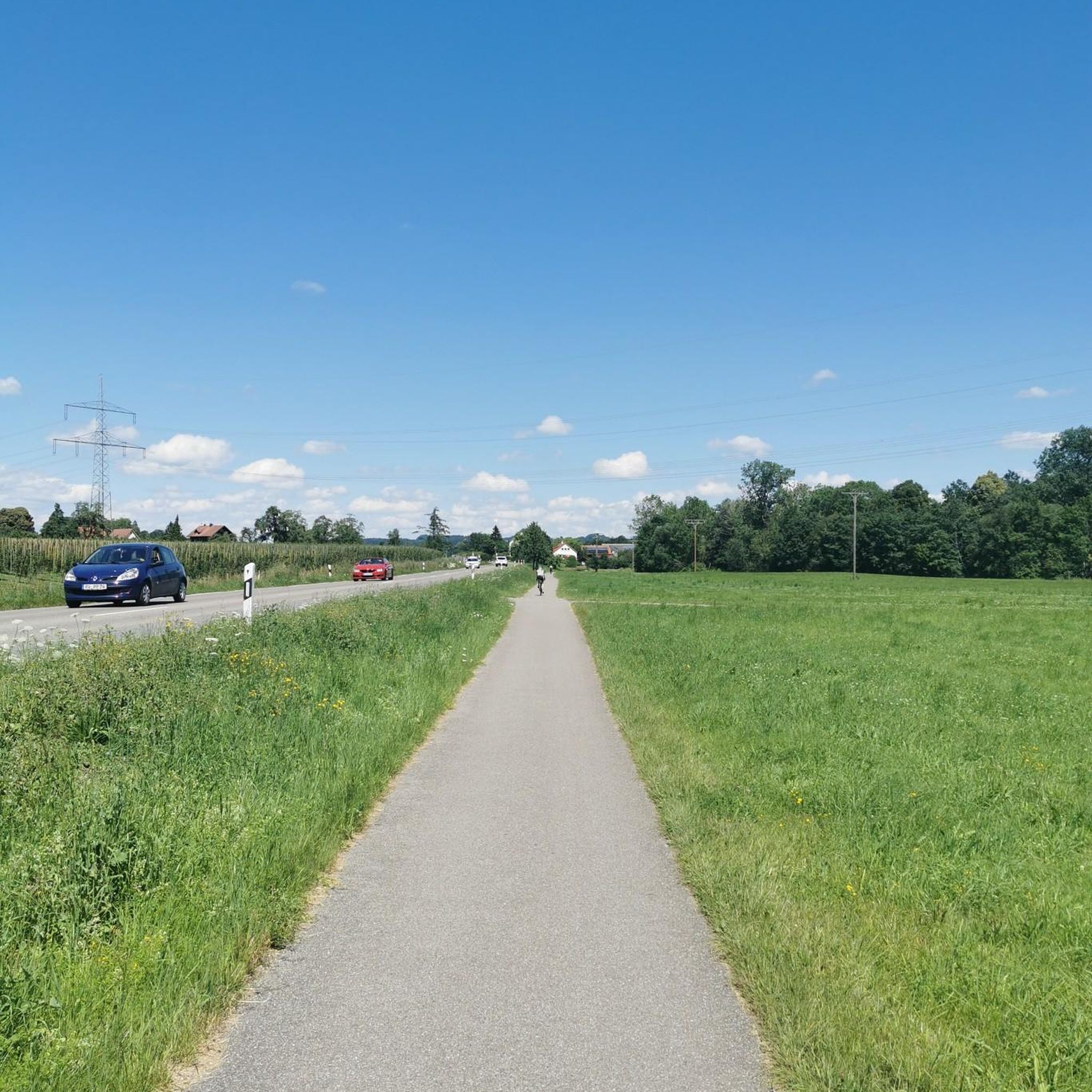
A short uphill trail that connects Jefferson Lake with the White Trail.
0
0

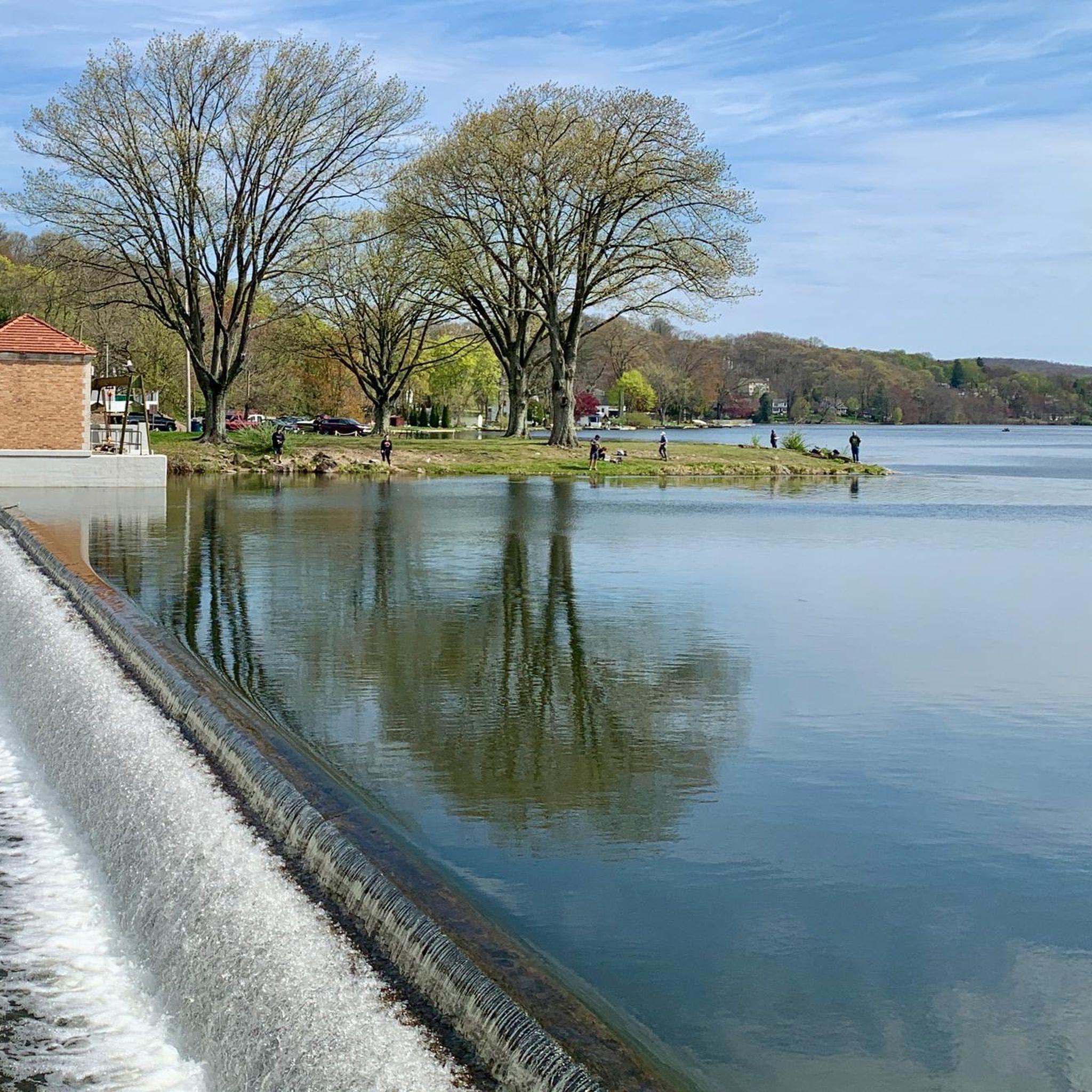
From here, you have great views of the Musconetcong River and surrounding hills. It's the perfect spot for a break!
0
0
This is a beautiful lake. It is a very pleasant spot for a hike.
0
0
Frequently Asked Questions
How many hiking trails are available around Stanhope?
Stanhope offers a wide variety of hiking experiences, with over 45 routes available. These range from easy riverside strolls to more challenging moorland expeditions, catering to different fitness levels and preferences.
Are there easy hiking options suitable for beginners or casual walkers?
Yes, Stanhope has plenty of easy trails. For instance, the Ranger Trail Loop is an easy 4.4-mile (7.0 km) path that follows the River Wear and passes through Slitt Wood, known for its lead mining history. There are over 25 easy routes in the area.
Can I find circular hiking routes in Stanhope?
Absolutely. Many of Stanhope's trails are circular, allowing you to start and end in the same location. A notable example is the Yellow, White, Green, and Sussex Branch Trail Loop, which offers varied North Pennines landscapes and panoramic views.
What kind of landscapes can I expect to see while hiking near Stanhope?
Hiking around Stanhope offers a diverse range of landscapes within the North Pennines Area of Outstanding Natural Beauty. You'll encounter rolling hills, expansive open moorlands, picturesque river valleys along the River Wear and its tributaries, and areas showcasing the region's rich geological and mining heritage, including old limestone quarries and remnants of lead mining.
Are there any dog-friendly hiking trails in the Stanhope area?
Many trails around Stanhope are suitable for dogs, especially those that traverse open moorland or follow riverside paths. Burnhope Reservoir is a popular spot for dog walkers, offering scenic paths and parking facilities. Always ensure dogs are kept under control, especially near livestock, and check local signage for any restrictions.
What are some interesting historical or geological sites I can explore on a hike?
Stanhope's landscape is rich in history and geology. The Ranger Trail Loop passes through Slitt Wood, an area with a history of lead mining. The Stanhope Burn Geotrail is specifically designed to explore the area's geological and mining heritage with several points of interest. You can also find old limestone quarries and remnants of a fluorspar plant.
Are there any trails that follow the River Wear?
Yes, the River Wear flows directly through Stanhope, providing beautiful riverside paths. The Weardale Way, a significant long-distance footpath, passes through Stanhope and follows the course of the river, offering sections with panoramic views and connecting various villages.
What is the best time of year to go hiking in Stanhope?
Stanhope offers hiking opportunities year-round. Spring brings blooming wildflowers, while summer provides longer daylight hours and generally warmer weather. Autumn showcases stunning fall foliage across the dales. Winter hikes can be beautiful, especially on the moorlands, but require appropriate gear for potentially cold and wet conditions.
How can I reach the hiking trails around Stanhope using public transport?
Stanhope is served by local bus services that connect it to other towns and villages in Weardale and beyond. These services can provide access to various starting points for hikes. It's advisable to check the current bus timetables for routes that align with your chosen trailheads.
Are there any places to eat or drink near the hiking routes?
Stanhope itself has several pubs and cafes where you can refuel after a hike. Many villages along the River Wear and within the Durham Dales also offer hospitality options. Planning your route to pass through or end near one of these establishments can be a great way to enjoy local refreshments.
What do other hikers say about the trails in Stanhope?
The hiking trails in Stanhope are highly rated by the komoot community, with an average score of 4.8 stars from over 10 reviews. Hikers often praise the diverse landscapes, from riverside paths to open moorlands, and the well-maintained routes that cater to various skill levels.
Are there any longer, more challenging hikes for experienced trekkers?
For experienced trekkers, Stanhope offers more demanding routes. The Jefferson Lake Bike Path, White and Teal Loop, at 9.2 miles (14.8 km), includes ascents to moorland viewpoints. The Yellow, White, Green, and Sussex Branch Trail Loop is an 11.6-mile (18.7 km) trail leading through varied North Pennines landscapes, often completed in about 5 hours 15 minutes.
Where can I find parking for hiking trails in Stanhope?
Parking is generally available in Stanhope town centre, and many specific trailheads or popular starting points, such as Burnhope Reservoir, offer dedicated parking facilities. Always check for local parking regulations and fees before you set out.
Are there any specific attractions or points of interest along the trails?
Beyond the natural beauty, you can discover several points of interest. For example, you might encounter Whites Pond or explore parts of the Sussex Branch Trail. The area's mining heritage also means you'll find historical remnants like old quarries and industrial features.
Most popular attractions around Stanhope

Get inspired with the komoot mobile app


Explore more
Browse the best Hikes in other regions.
