The best cycling routes around Spring Valley
4.6
(27)
503
riders
34
rides
Touring cycling routes around Spring Valley, Nevada, traverse a diverse landscape characterized by desert ecosystems, volcanic formations, and dramatic canyons. The region features striking red rock formations and scenic byways, offering varied terrain for cyclists. Elevated areas like Mount Charleston provide cooler, forested environments, contrasting with the expansive desert floor. This area presents opportunities for road cycling through picturesque natural settings.
Best touring cycling routes around Spring Valley
- The most popular touring cycling route is Red Rock Canyon loop,…
Last updated: October 27, 2026
4.5
(2)
132
riders
52.1km
02:42
700m
700m
4.5
(2)
25
riders
52.7km
02:35
440m
440m

5.0
(1)
19
riders
56.4km
03:36
610m
610m
Hard bike ride. Very good fitness required. Mostly paved surfaces.
14
riders
Moderate bike ride. Good fitness required. Mostly paved surfaces.
18
riders
39.0km
03:36
520m
530m
Hard bike ride. Very good fitness required. Mostly paved surfaces.
Get access to more routes and recommendations from other explorers.
Already have an account?
Our route recommendations are based on thousands of hikes, rides, and runs completed by other people on komoot.
Start today with a free account
Your next adventure awaits.
Tips from the Community

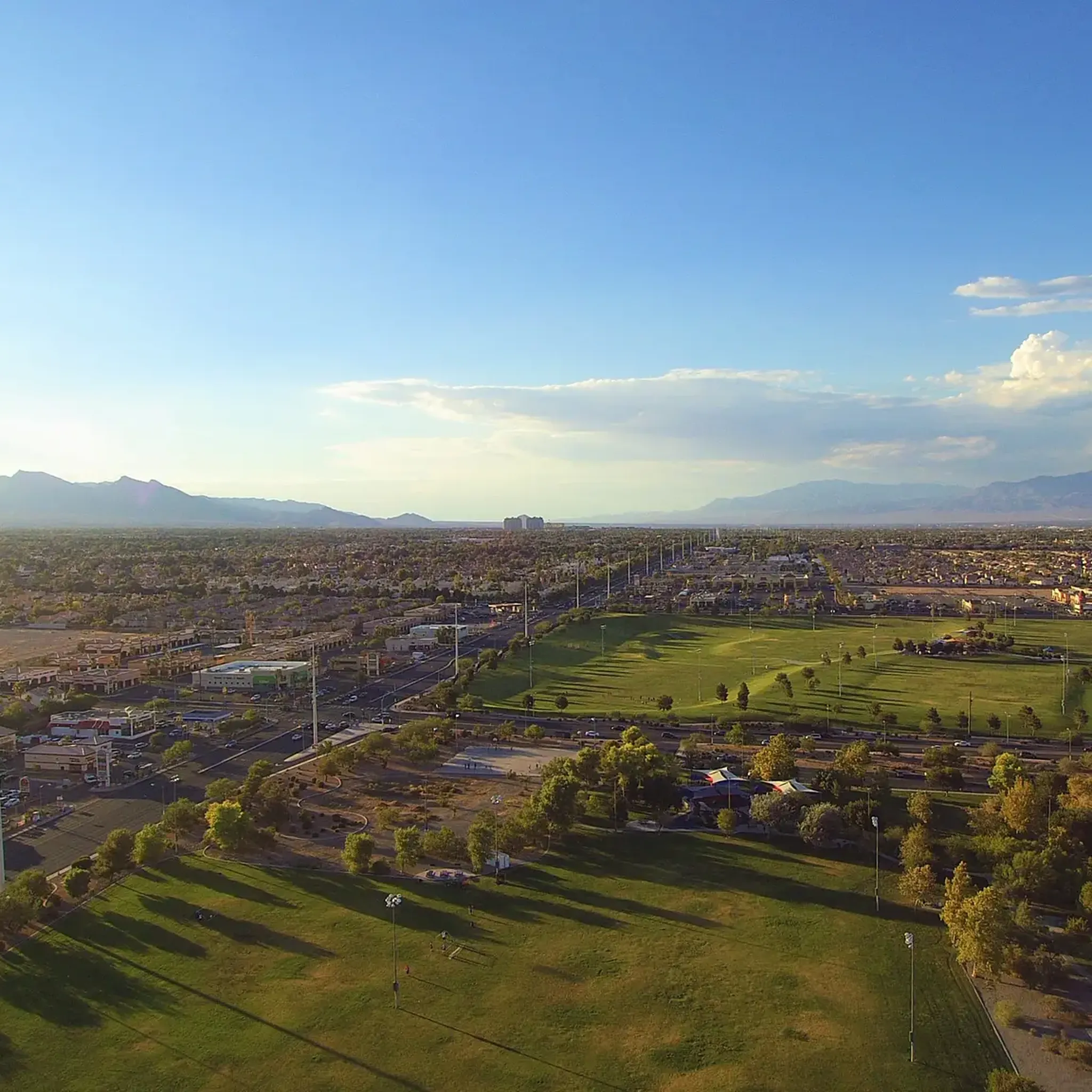
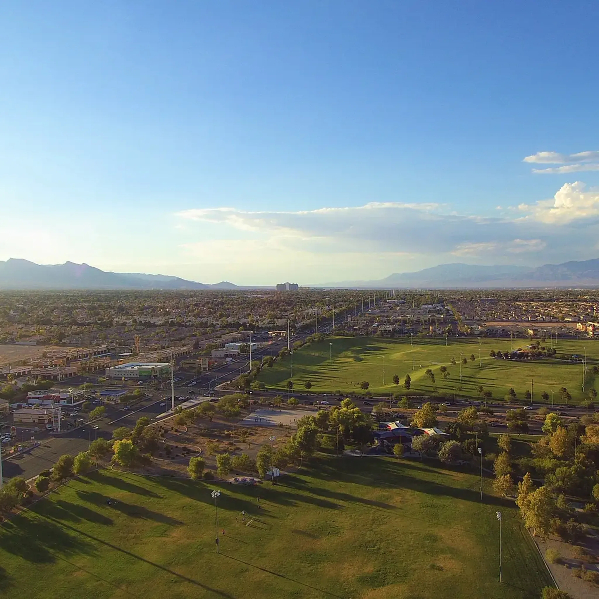
A paved, three-mile multi-use trail that runs alongside CC 215. You can tie it together with the Western Beltway Trail to log some miles without any extreme climbs.
0
0

Downtown Summerlin is just south of the Red Rock Resort and Casino is a great outdoor shopping and dining complex with numerous restaurants and cafés, as well as one of the best farmers markets in Vegas every Saturday. This is also where the popular Tour de Summerlin bike race and half-marathon begins and ends.
1
0
Downtown Summerlin is just south of the Red Rock Resort and Casino is a great outdoor shopping and dining complex with numerous restaurants and cafes, as well as one of the best farmers markets in Vegas every Saturday. This is also where the popular Tour de Summerlin bike race and half marathon begins and ends.
0
0
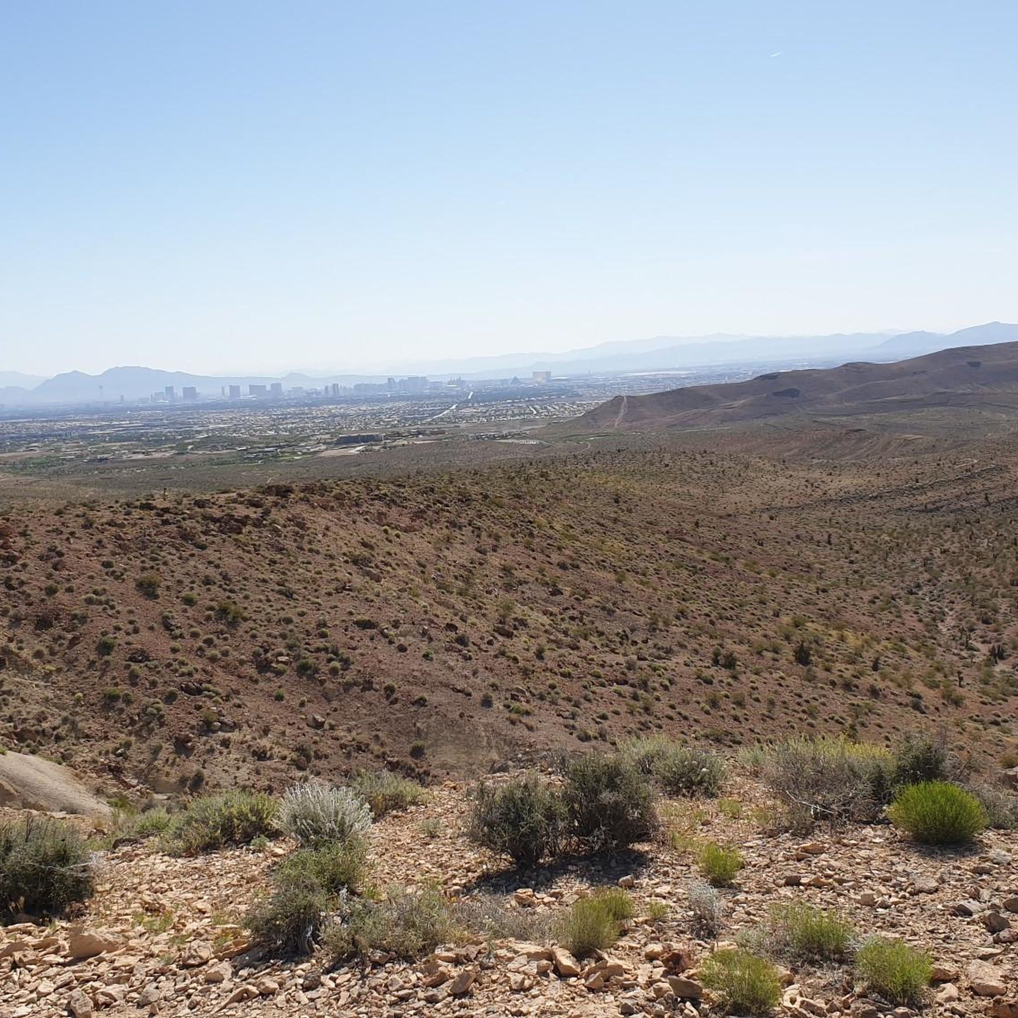
Permagrin (or Perma Grin) is one of the most popular trails in the Bears Best Trail system that should be ridden from south to north (downhill). Permagrin is comprised of a series of fun washes and gullies that create undulating bumps that skirt the side of the mountain.
0
0
The Canal Road is a well-graded dirt road next to the canal. It's an easy way to warm up your legs as you ride up to Bears Best.
0
0
Benchmark is a fun, short trail that connects Gasoline Road to Jeep Road and the respective nearby trails at the 5-Way with a short, but steep, section. It is frequently linked up with Permagrin, but can be combined with other trails that intersect at the 5-Way like Nice Curves. Although Benchmark is can be ridden either direction, most ride it uphill from Gasoline Road to Jeep Road and the 5-Way.
0
0
This trailhead is the main access point to the Bears Best Trail System. This extensive network of trails connects to other systems including Blue Diamond and Cowboy Trails, which have trails of varying difficulties; there really is something for everyone in an amazing desert setting! In the spring, summer, and early fall look out for desert tortoises in this area! They blend into the surroundings and can look like rocks! Please do not pick up or handle a tortoise unless they are in danger of getting hit; in those cases you can carefully pick up the tort by the sides of it shell, keep it low to the ground and move it in the direction it was headed (and sanitize your hands afterward!). Other than that, please do not touch a tort or get too, too close to one in the wild because scaring them can actually be deadly! When afraid, they will pee as a last resort defense mechanism. Desert tortoises are able to drink water in large amounts (up to 45% of their body weight), which is stored for future use and critical to their survival all year. They can actually live off of one big drink a year! If startled, however, they might urinate and lose their critical water stores and die of dehydration. Additionally, wild torts carry a bunch of diseases including salmonella and herpes, so you also don’t want to handle them for your own safety!
0
0
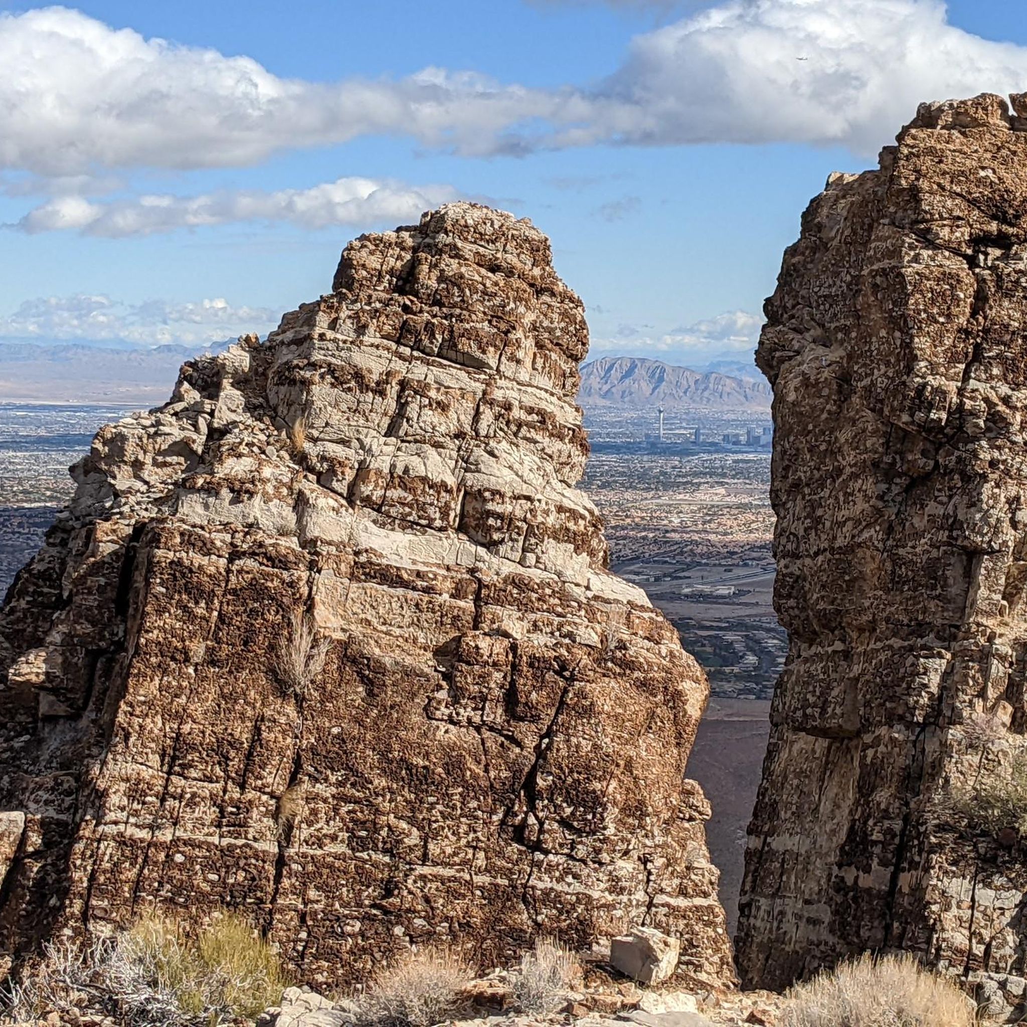
Cliff Shadows Open Desert Park is a fantastic park located on the west side of Las Vegas. This is an extremely popular mountain biking area but there is also great hiking as well. On days after rainfall in the cooler months you might also see rock climbers climbing at the popular limestone crag known as "The Gun Club," just a few hundred yards from the lower parking area.
0
0
Frequently Asked Questions
How many touring cycling routes are available in Spring Valley?
There are over 35 touring cycling routes around Spring Valley, Nevada, offering a diverse range of experiences for cyclists.
Are there touring cycling routes suitable for beginners in Spring Valley?
Yes, Spring Valley offers several routes suitable for beginners. There are 10 easy touring cycling routes, perfect for those new to the sport or looking for a relaxed ride. These routes often feature less elevation gain and smoother terrain.
What kind of terrain can I expect on touring cycling routes in Spring Valley?
The touring cycling routes in Spring Valley, Nevada, primarily traverse diverse desert landscapes, characterized by striking red rock formations, volcanic tuff, and scenic byways. You'll encounter varied terrain, from expansive desert views to dramatic canyon roads. Elevated areas like Mount Charleston, though a short drive away, offer cooler, forested environments that contrast with the desert floor.
Are there any challenging touring cycling routes for experienced riders in Spring Valley?
Absolutely. For experienced riders seeking a challenge, Spring Valley features 8 difficult touring cycling routes. One such route is the Red Rock Canyon loop, which spans 32.4 miles (52.1 km) and includes significant elevation changes, offering stunning views of the iconic red rock formations.
What is the best time of year to go touring cycling in Spring Valley?
The best time for touring cycling in Spring Valley, Nevada, is typically during the cooler months, from late fall through early spring (October to April). During these periods, temperatures are more moderate, making for a more comfortable ride in the desert environment. Summers can be extremely hot, so early morning rides are recommended if cycling during warmer months.
Are there circular touring cycling routes in Spring Valley?
Yes, many of the touring cycling routes in Spring Valley are designed as loops, allowing you to start and end at the same point. Examples include the Red Rock Canyon loop and the Blue Diamond loop from Summerlin South, both offering scenic circular journeys.
What do other touring cyclists enjoy the most about touring cycling in Spring Valley?
The touring cycling routes in Spring Valley are highly rated by the komoot community, with an average score of 4.7 stars from over 30 reviews. Cyclists frequently praise the stunning desert scenery, the dramatic rock formations, and the well-maintained roads that offer expansive views. The variety of routes, from moderate to challenging, is also a highlight for many.
Are there any family-friendly touring cycling routes in Spring Valley?
While many routes in Spring Valley involve desert terrain and some elevation, there are 10 easy routes that could be suitable for families, depending on their experience level. For a more relaxed experience, consider routes with less elevation gain and paved surfaces. Always check the route details for distance and difficulty to ensure it matches your family's capabilities.
What are some notable natural features or attractions I might see while cycling in Spring Valley?
While cycling in Spring Valley, you'll encounter stunning natural features like the iconic red rock formations of Red Rock Canyon National Conservation Area. The region is also characterized by volcanic tuff and sediment, creating beautiful light-gray, pink, and white rock formations, especially around Spring Valley State Park. For nearby attractions, you might explore the Mirage Hotel & Casino Waterfall or the Fountains of Bellagio, though these are more urban attractions.
Are there specific considerations for cycling in the desert environment of Spring Valley?
When cycling in Spring Valley's desert environment, it's crucial to carry plenty of water, especially during warmer months, as hydration is key. Sun protection (sunscreen, hat, sunglasses) is also essential due to intense sun exposure. Be aware of potential wildlife, and always inform someone of your route and expected return time, particularly on longer or more remote rides.
Are there dog-friendly touring cycling routes in Spring Valley?
While specific touring cycling routes explicitly designated as 'dog-friendly' are not highlighted, many natural areas in Spring Valley, Nevada, allow dogs on trails, often requiring them to be on a leash. If you plan to bring your dog, it's best to check the specific regulations for each park or conservation area you intend to visit, such as Red Rock Canyon National Conservation Area or Spring Valley State Park, regarding pets on cycling paths.
Where can I find parking for touring cycling routes in Spring Valley?
Parking is generally available at popular access points for major cycling areas. For routes around Red Rock Canyon, there are designated parking areas within the National Conservation Area. Similarly, for routes near Spring Valley State Park, parking is available within the park facilities. Always check specific route starting points for detailed parking information.
Most popular attractions around Spring Valley

Get inspired with the komoot mobile app


Explore more
Browse the best Cycling routes in other regions.
