The best cycling routes around Crystal Bay
4.7
(15)
415
riders
21
rides
Touring cycling around Crystal Bay features routes that traverse the eastern shore of Lake Tahoe, offering views of the lake and surrounding mountain landscapes. The region includes varied terrain, from paved lakeside paths to more challenging ascents into the Sierra Nevada foothills. Elevations range from near lake level to higher points offering panoramic vistas, with several routes leading to fire lookout points.
Best touring cycling routes around Crystal Bay
- The most popular touring cycling route is Tahoe East Shore Trail, a 5.6 miles (9.1 km) trail that takes about 35 minutes to complete. This easy route follows the scenic shoreline of Lake Tahoe.
- Another top favourite among local touring cyclists is Incline Village to Mt Rose Summit loop, a difficult 17.5 miles (28.2 km) path. This route features significant elevation gain through mountain terrain.
- Local touring cyclists also love the Incline Village to Crystal Bay & Fire Lookout loop, a 12.0 miles (19.3 km) trail leading through forested areas to a fire lookout, often completed in about 1 hour 20 minutes.
- Touring cycling around Crystal Bay is defined by scenic lakeshore paths, mountain ascents, and routes to historic fire lookout points. The network offers options for different ability levels, from easy lakeside rides to difficult mountain loops.
- The routes in Crystal Bay are highly rated by the komoot community with an average score of 4.6 stars from around 10 reviews. More than 250 touring cyclists have used komoot to explore Crystal Bay's varied terrain.
Last updated: May 28, 2026
5.0
(3)
54
riders
9.06km
00:35
110m
110m
Embark on the Tahoe East Shore Trail for an easy touring bicycle ride that unveils the stunning beauty of Lake Tahoe's eastern shoreline. This accessible route stretches for 5.6 miles (9.1 km), guiding you through towering pine trees and past rocky outcrops. You will experience a gentle elevation gain of 376 feet (115 metres) over an estimated 34 minutes, making it perfect for a quick and scenic outing. As you pedal, you can enjoy direct access to numerous public beaches and charming coves, with crystal clear waters always in view.
When planning your visit, be aware that the trail can become quite busy, especially during the summer months. Cyclists should always yield to pedestrians, as you will be sharing the path with walkers and runners. The initial half-mile from Incline Village presents an 8% uphill grade, so be prepared for a short climb at the start. Since there is very little shade along the route, consider riding during cooler times of the day and bring plenty of water to stay hydrated.
The Tahoe East Shore Trail is notable for its 15-16 designated vista points, offering panoramic views of the lake. These spots provide excellent opportunities to pause and soak in the scenery, or you can take a break at Sand Harbor Beach, which is directly accessible from the trail. Along the route, you will find convenient amenities such as bike racks, repair stations, restrooms, and benches, ensuring a comfortable and enjoyable experience for everyone.
20
riders
28.2km
02:19
830m
830m
Embark on a challenging touring bicycle adventure with the Incline Village to Mt Rose Summit loop. This difficult route spans 17.5 miles (28.2 km) and demands a significant 2721 feet (829 metres) of elevation gain, typically taking you about 2 hours and 18 minutes to complete. You will experience a steady climb on paved roads, winding through thick forests of red fir and lodgepole pine, eventually revealing spectacular panoramic views of Lake Tahoe. Keep an eye out for the Lake Tahoe Scenic Lookout, offering expansive vistas across the entire Tahoe basin.
When planning your ride, be aware that you will share the Mount Rose Highway with moderate to heavy vehicle traffic, including commercial trucks. While a wide bike lane is often present, some sections have narrower shoulders, so stay alert. The descent can be very fast, so ensure your brakes are well-maintained, especially in the early season when sand might be on the road. For a potentially less congested experience, consider riding on early weekend mornings.
This loop offers a classic Lake Tahoe Nevada cycling experience, set within the beautiful Humboldt-Toiyabe National Forest. As you ascend, you will pass by Tahoe Meadows, adding diverse natural beauty to your ride. It is a significant workout for those seeking a rewarding challenge in a stunning mountain environment.

Sign up for free
4
riders
15.8km
01:25
590m
590m
Embark on a challenging touring bicycle ride up Martis Peak Road, a difficult ascent through the scenic Tahoe National Forest. As you climb, you will pass through dense forests of ponderosa pine and white fir, with glimpses of the surrounding landscape. The route covers 9.8 miles (15.8 km) and demands a significant 1948 feet (594 metres) of elevation gain, typically taking about 1 hour and 24 minutes to complete. Your reward at the summit is the historic Martis Peak Lookout, offering expansive 360-degree panoramic views that stretch across Lake Tahoe, the majestic Sierra Nevada peaks, and Donner Lake.
When planning your visit, be prepared for a physically demanding ride due to the long and steep climb. It is wise to consider acclimatizing to the high elevation before tackling this route. While the road is open for touring cycling during warmer months, remember that the gate to Martis Peak Road closes to vehicles in winter. During these colder months, the area transforms into a destination for snowshoeing or cross-country skiing, so plan your trip accordingly.
This route is a standout for its historical significance and the unparalleled vistas it provides from the Martis Peak Lookout. The journey through Tahoe National Forest showcases the region's natural beauty, from its diverse tree species to its sweeping mountain and lake views. It offers a unique perspective on the iconic Lake Tahoe basin, making it a memorable experience for those seeking a strenuous but rewarding cycling adventure.
2
riders
19.3km
01:22
290m
290m
Embark on a touring bicycle adventure around Lake Tahoe with the Incline Village to Crystal Bay & Fire Lookout loop. This moderate route spans 12.0 miles (19.3 km), guiding you along paved paths and some unpaved sections, offering diverse terrain. You will gain 958 feet (292 metres) in elevation, with the journey typically taking about 1 hour and 22 minutes. As you pedal, you'll pass picturesque mountain backdrops and large granite boulders, culminating in panoramic 180-degree views of North Lake Tahoe from the Stateline Fire Lookout.
When planning your ride, be aware of an initial half-mile climb with an 8% grade if you start from Incline Village. The path leading to the Stateline Fire Lookout involves an uphill climb of about 400 feet over three-quarters of a mile, where you might find it easier to dismount and walk your bike. Along the way, you will find convenient amenities such as numerous beach access points, bike racks, and restrooms, ensuring a comfortable experience.
This loop is a great way to explore the beauty of Lake Tahoe on two wheels, combining the popular Tahoe East Shore Trail with a rewarding climb to a historic fire lookout. The route showcases the region's clear waters and natural scenery, providing a unique perspective of the area's landscape. It offers a blend of easy cruising and challenging ascents, making it a well-rounded touring bicycle experience.
10.4km
00:58
260m
260m
Cycle the moderate 6.5-mile Kings Beach to Stateline Fire Lookout loop for panoramic Lake Tahoe views and a glimpse into local history.
Get access to more routes and recommendations from other explorers.
Sign up for free
Already have an account?
Our route recommendations are based on thousands of hikes, rides, and runs completed by other people on komoot.
Start today with a free account
Your next adventure awaits.
Login or Signup

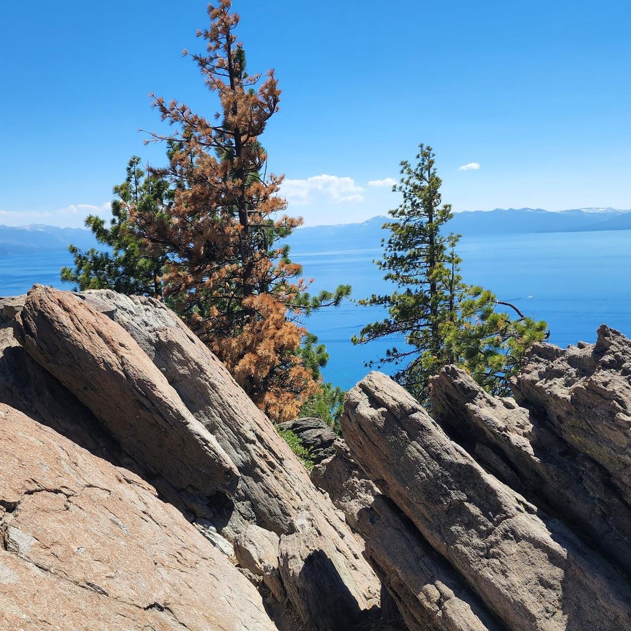
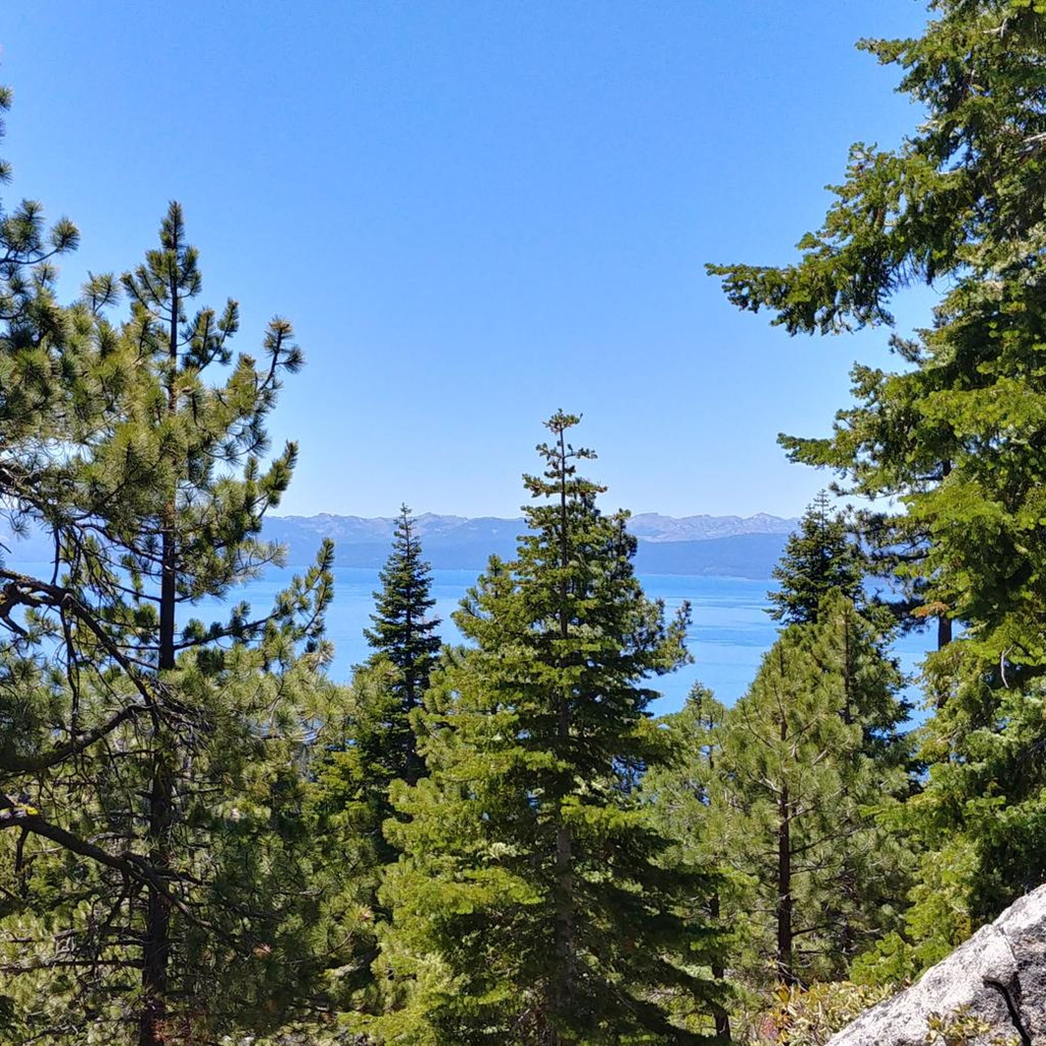
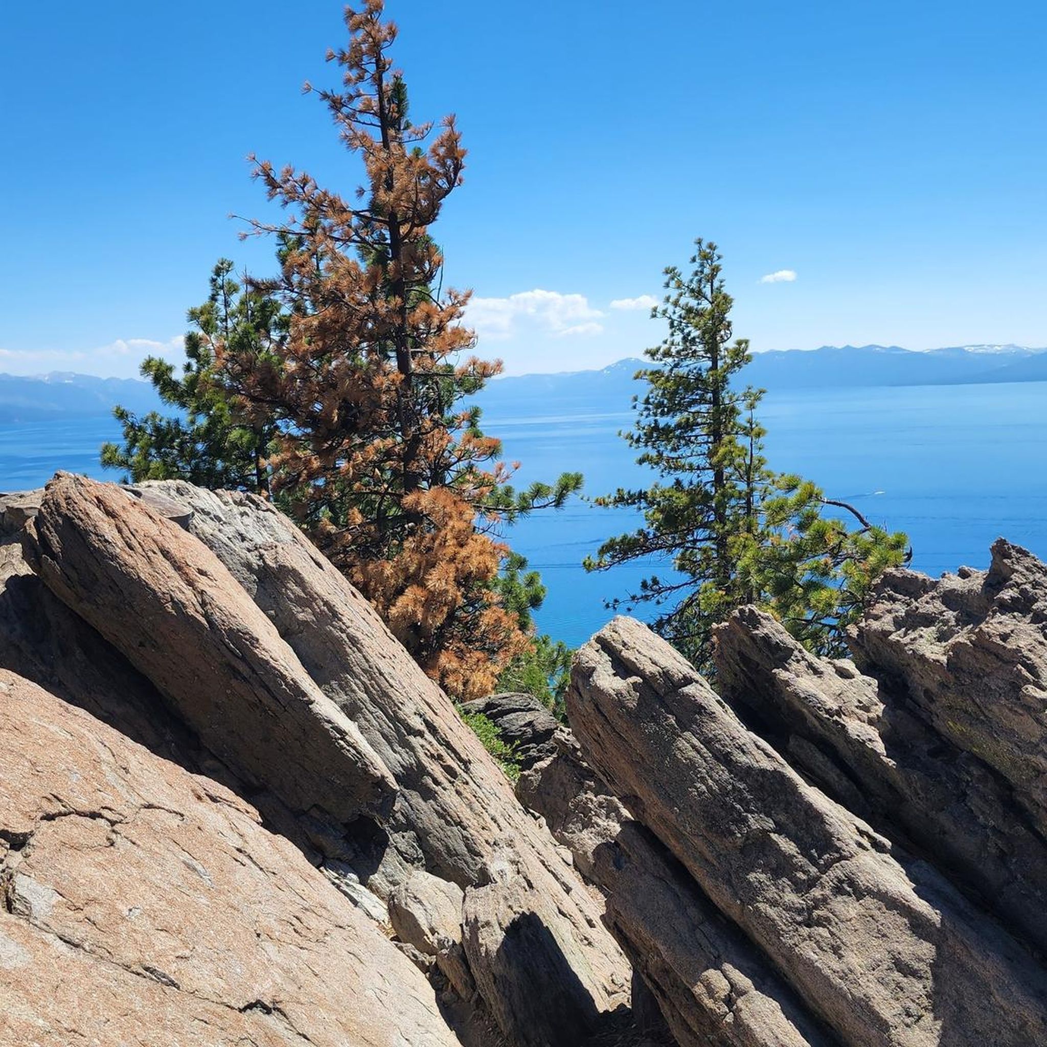
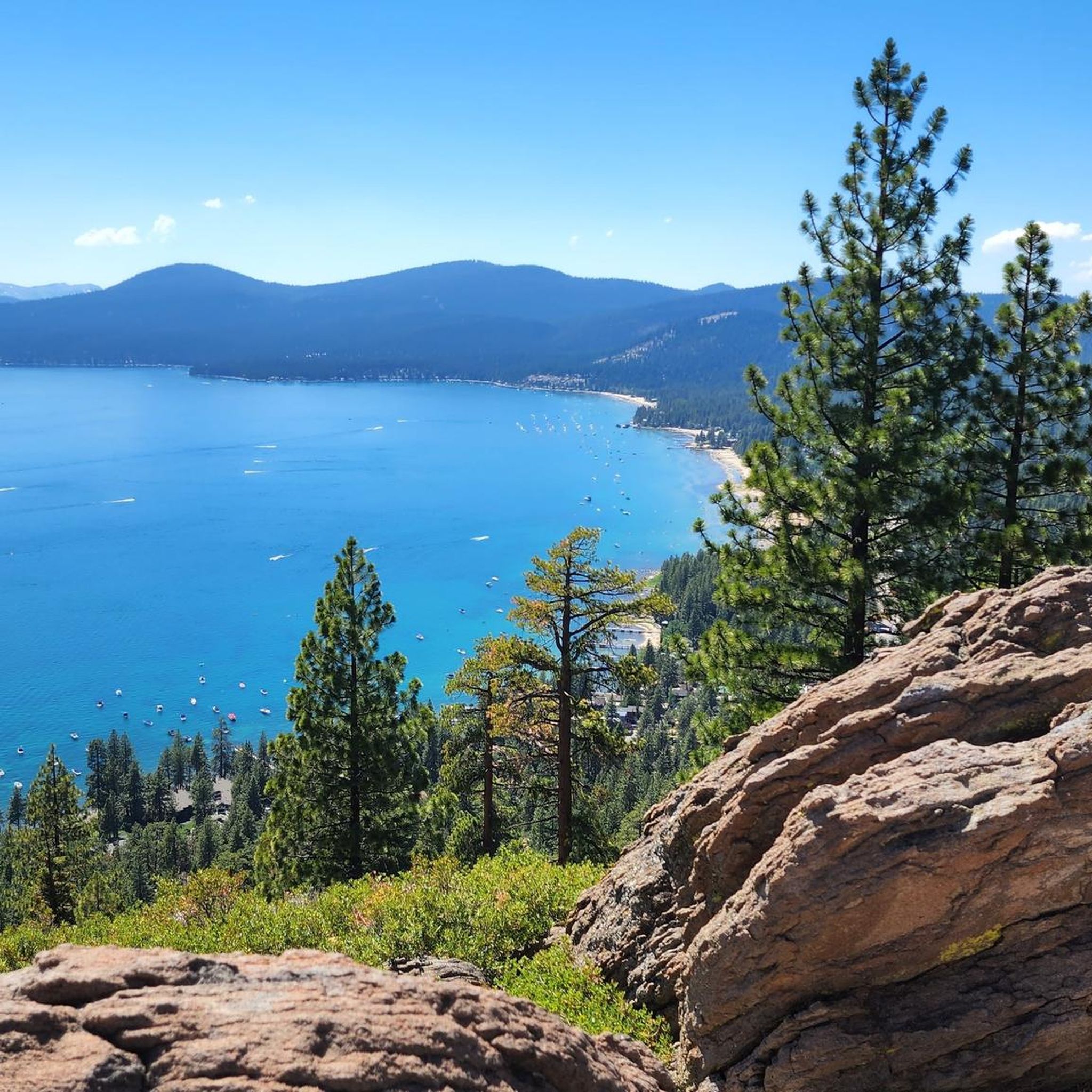
Other adventures around Crystal Bay

Tips from the Community

The trail from Incline Village to Sand Harbor is a must for anyone visiting North Lake Tahoe. There is one hill as you leave/enter Incline Village, but the rest of the trail is flat and follows along Tahoe's east shore, with incredible views around every corner. Eventually you'll end up at the fantastic Sand Harbor State Park, where you can enjoy the sun, sand, and water before heading back to Incline Village.
1
0
Great viewpoint above Crystal Bay with a number of plaques with info about Tahoe. It can get busy in the summer, but if you get here early you'll beat the crowds.
0
0

Mantis Peak Lookout is the spot of a fire lookout built in 1914. There are several routes up to the top and are definitely worth the effort for the great views from the lookout.
1
0

Mantis Peak Road is a narrow, paved road leading to Mantis Peak Lookout, home to a fire lookout built in 1914. Sometimes the pavement has cracks and potholes, so be aware. It is used by cars, bikers, and hikers, so be careful when coming around turns. Mantis Peak Road is closed in the winter.
0
0
Mantis Peak is at an elevation of 8,700 feet, so the ride up can get riders quite winded at this elevation. Staying hydrated is important. The Mantis Peak Lookout is here with the best view, but continue on the Mantis Peak Summit Path, just about 150 feet east, where the technical summit sits.
0
0
Brockway Summit is at an elevation of 7,199 feet above sea level along California State Route 267, between Truckee and Kings Beach. The summit has nice scenery and a view of Lake Tahoe below, and the road has moderate traffic.
0
0
The Grid Bar and Grill is just called The Grid by the locals. Drinks and food here are delicious; it's also a karaoke hot spot a few times a week. Serving up Hawaiian Shave Ice and patio dining in the summer and hot appetizers and cozy interior all winter, it's a great spot to check out on a ride.
0
0
Kings Beach in the summer is a popular spot with its sandy, easily accessible beach, packed with swimmers, picnickers, and boaters. In the winter, this area has a more summertime vibe than the rest of Lake Tahoe due to something coined the "banana belt." The north shore here gets more sunshine in winter, making it less snow-packed.
0
0
Frequently Asked Questions
How many touring cycling routes are available around Crystal Bay?
Crystal Bay offers a diverse selection of nearly 20 touring cycling routes. These routes cater to various skill levels, ranging from easy lakeside paths to more challenging mountain ascents.
What is the best time of year for touring cycling in Crystal Bay?
The ideal time for touring cycling in Crystal Bay is typically from late spring through early fall (May to October). During these months, the weather is generally mild, and the routes are clear of snow, offering the best conditions to enjoy the scenic beauty of Lake Tahoe and the surrounding Sierra Nevada foothills.
Are there easy touring cycling routes suitable for beginners in Crystal Bay?
Yes, Crystal Bay has easy touring cycling routes perfect for beginners or those looking for a relaxed ride. The Tahoe East Shore Trail is an excellent option, offering a paved, scenic ride along the lake with minimal elevation gain.
Are there challenging touring cycling routes for experienced cyclists in Crystal Bay?
Experienced cyclists seeking a challenge will find several difficult routes around Crystal Bay. The Incline Village to Mt Rose Summit loop is a demanding option, featuring significant elevation gain through mountain terrain, rewarding riders with expansive views.
Can I find circular touring cycling routes in Crystal Bay?
Yes, several touring cycling routes in Crystal Bay are designed as loops, allowing you to start and end at the same point. A popular choice is the Incline Village to Crystal Bay & Fire Lookout loop, which takes you through forested areas and offers views from a fire lookout.
Are there touring cycling routes that lead to fire lookouts in the Crystal Bay area?
Absolutely. The region features routes that ascend to historic fire lookouts, offering panoramic views. Consider the Martis Peak Lookout via Martis Peak Road or the Kings Beach to Stateline Fire Lookout loop for routes that include these unique destinations.
What kind of scenery can I expect on touring cycling routes around Crystal Bay?
Touring cycling around Crystal Bay offers diverse scenery, from stunning views of Lake Tahoe's eastern shore to forested paths and challenging ascents into the Sierra Nevada foothills. Many routes provide panoramic vistas, especially from higher elevations and fire lookout points.
Are there any scenic viewpoints or attractions along the touring cycling routes?
Yes, many routes offer access to breathtaking viewpoints and natural attractions. Along the Tahoe East Shore Trail, you can find highlights like Hidden Beach and Sand Harbor Beach. Other routes might lead you to Monkey Rock or Memorial Point Overlook, providing spectacular views of Lake Tahoe.
What do other touring cyclists enjoy most about cycling in Crystal Bay?
The touring cycling routes in Crystal Bay are highly rated by the komoot community, with an average score of 4.6 stars. Cyclists often praise the stunning lake views, the variety of terrain from paved paths to mountain climbs, and the well-maintained trails that offer both challenging and relaxing experiences.
Are there any less crowded touring cycling routes in Crystal Bay?
While popular lakeside trails can get busy, exploring routes that venture into the Sierra Nevada foothills or those leading to fire lookouts often provides a more secluded experience. These routes tend to be longer and more challenging, naturally attracting fewer cyclists.
What should I bring for a touring cycling trip in Crystal Bay?
Given the varied terrain and potential for elevation changes, it's advisable to bring layers of clothing, plenty of water, snacks, sun protection, and a basic bike repair kit. For longer or more remote routes, consider a GPS device or a fully charged phone with offline maps, as cell service can be spotty in some mountain areas.
Most popular attractions around Crystal Bay

Get inspired with the komoot mobile app


Explore more
Browse the best Cycling routes in other regions.
