The best walks and hikes around Lenggries
4.4
(17115)
85,635
hikers
404
hikes
Hiking around Lenggries offers diverse landscapes, from the foothills of the Bavarian Alps to the Karwendel mountain range. The region is characterized by prominent peaks like Brauneck and Schafreuter, as well as the flowing Isar River and the scenic Sylvenstein Reservoir. This varied terrain provides a wide range of hiking experiences, including alpine trails and riverside paths.
Best hiking trails around Lenggries
- The most popular hiking route is View of the Bavarian Alps – View from Latschenkopf loop from Brauneck, a 3.8 miles (6.1 km) trail that takes 2 hours 19 minutes to complete. This moderate route offers views of the Bavarian Alps from Latschenkopf and the Brauneck area.
- Another top favourite among local hikers is View from Latschenkopf – Brauneck Summit Cross loop from Wald-Wild-Schongebiet, a moderate 3.8 miles (6.2 km) path. This trail provides panoramic views from Latschenkopf and leads to the Brauneck Summit Cross.
- Local hikers also love the View of Latschenkopf – Brauneck Summit Cross loop from Lenggries, a 7.2 miles (11.7 km) trail leading through the Brauneck area with views towards Latschenkopf, often completed in about 4 hours 44 minutes.
- Hiking around Lenggries is defined by alpine mountains, the Isar River, and the Sylvenstein Reservoir. The network offers options for all ability levels, from easy riverside walks to challenging mountain ascents.
- The routes in Lenggries are highly rated by the komoot community with an average score of 4.4 stars from more than 15,000 reviews. More than 86,000 hikers have used komoot to explore Lenggries's varied terrain.
Last updated: October 25, 2026
4.8
(654)
2,817
hikers
5.87km
02:18
310m
310m
Moderate hike. Good fitness required. Mostly walkable paths. Sure-footedness required.
4.5
(550)
2,330
hikers
7.06km
02:30
360m
360m
Moderate hike. Good fitness required. Mostly walkable paths. Sure-footedness required.

4.3
(315)
1,162
hikers
11.7km
03:25
310m
310m
Moderate hike. Good fitness required. Easily walkable paths.
4.5
(393)
2,190
hikers
11.8km
04:46
840m
840m
Moderate hike. Good fitness required. Mostly walkable paths. Sure-footedness required.
4.8
(711)
3,052
hikers
Moderate hike. Good fitness required. Mostly walkable paths. Sure-footedness required.
Get access to more routes and recommendations from other explorers.
Already have an account?
Our route recommendations are based on thousands of hikes, rides, and runs completed by other people on komoot.
Start today with a free account
Your next adventure awaits.
Popular around Lenggries
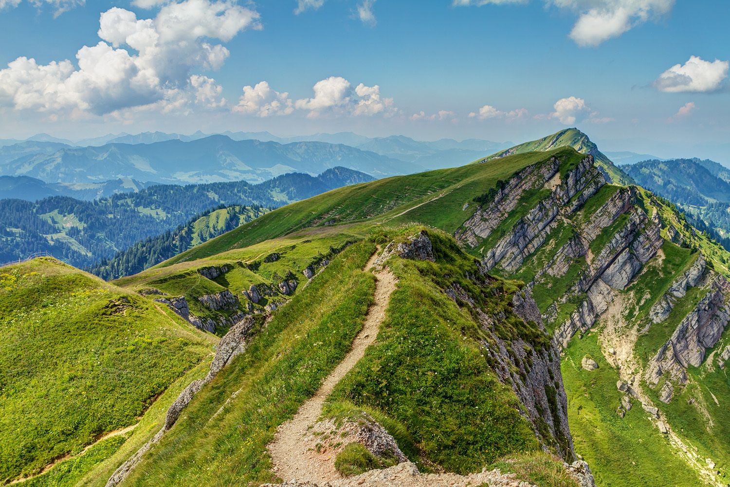
Maximilian Trail in Germany — Lake Constance to Königssee
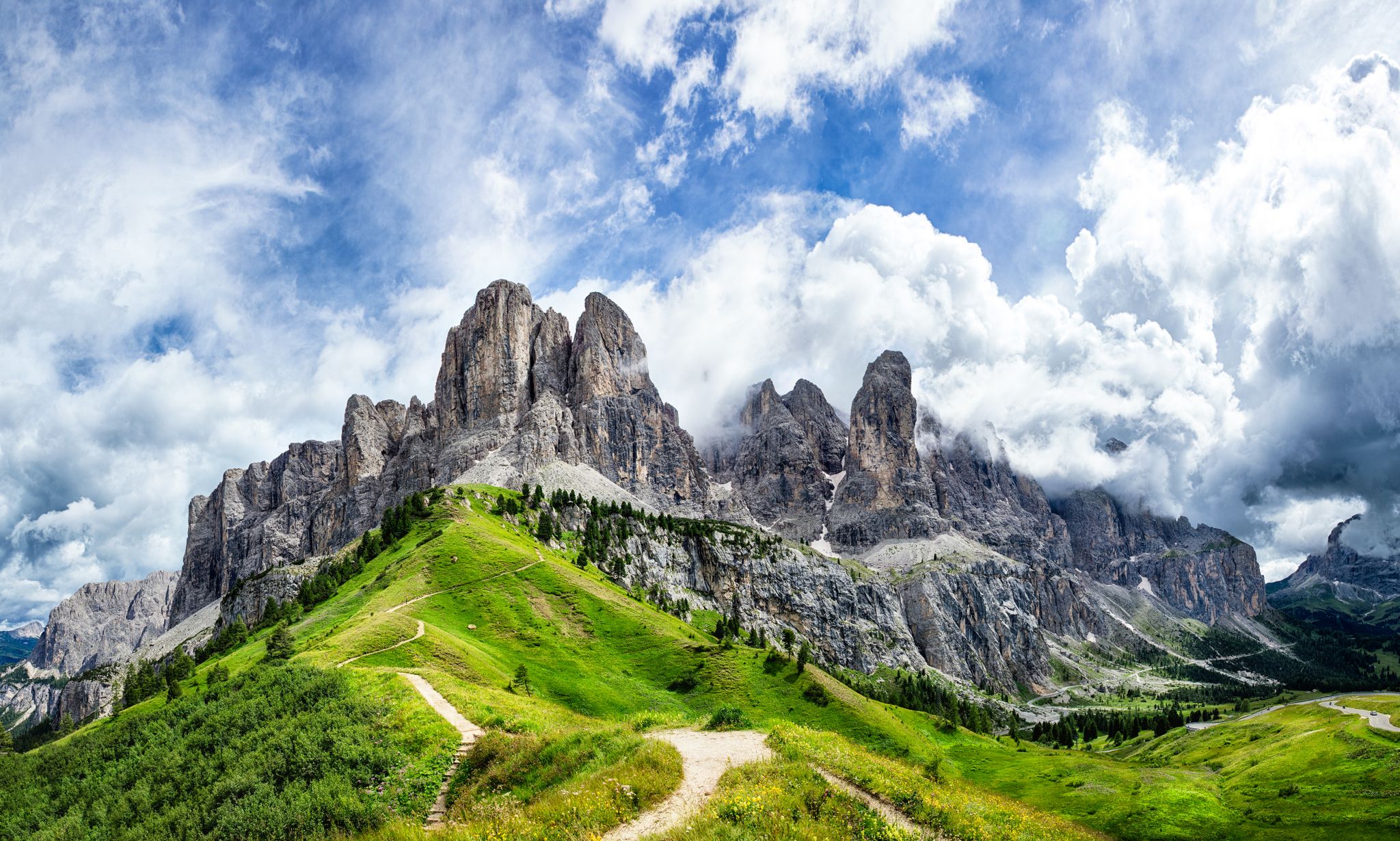
The "Dream Path" hiking trail – From Munich to Venice in 28 stages
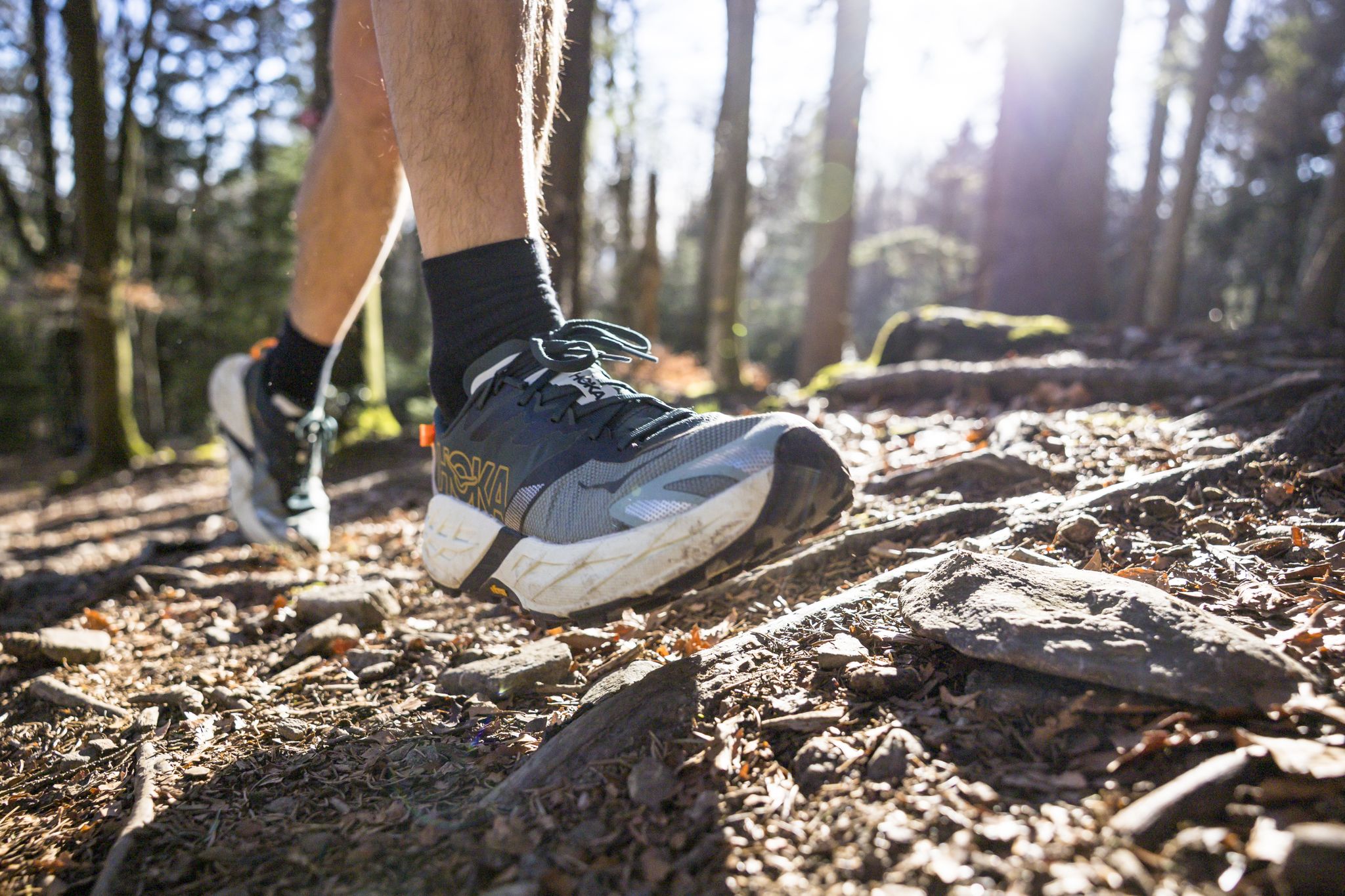
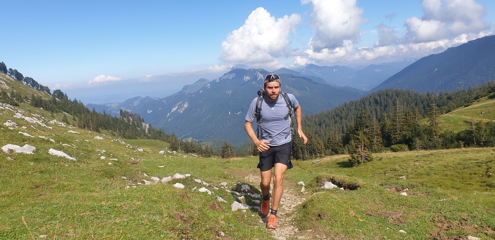
Run Wilder – six trail runs in Germany with the HOKA Speedgoat 7
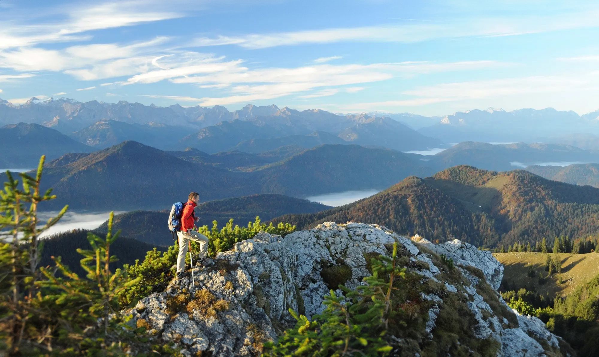
Hiking paradise Lenggries
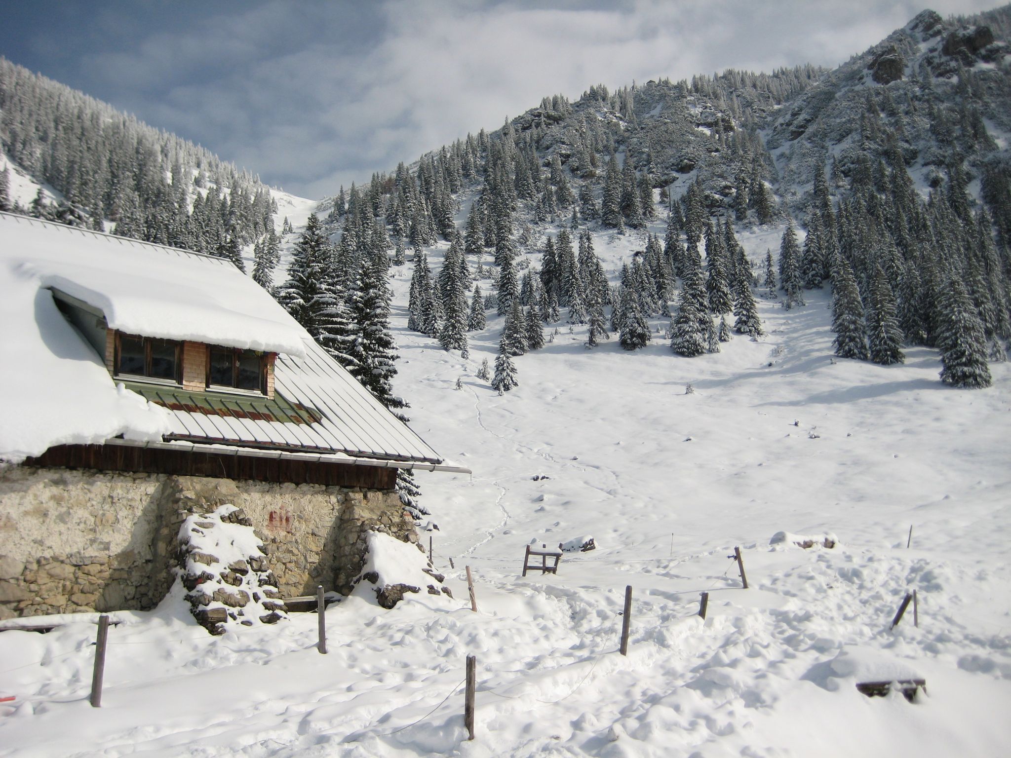
Southern Germany — mountain lodges for the cold season
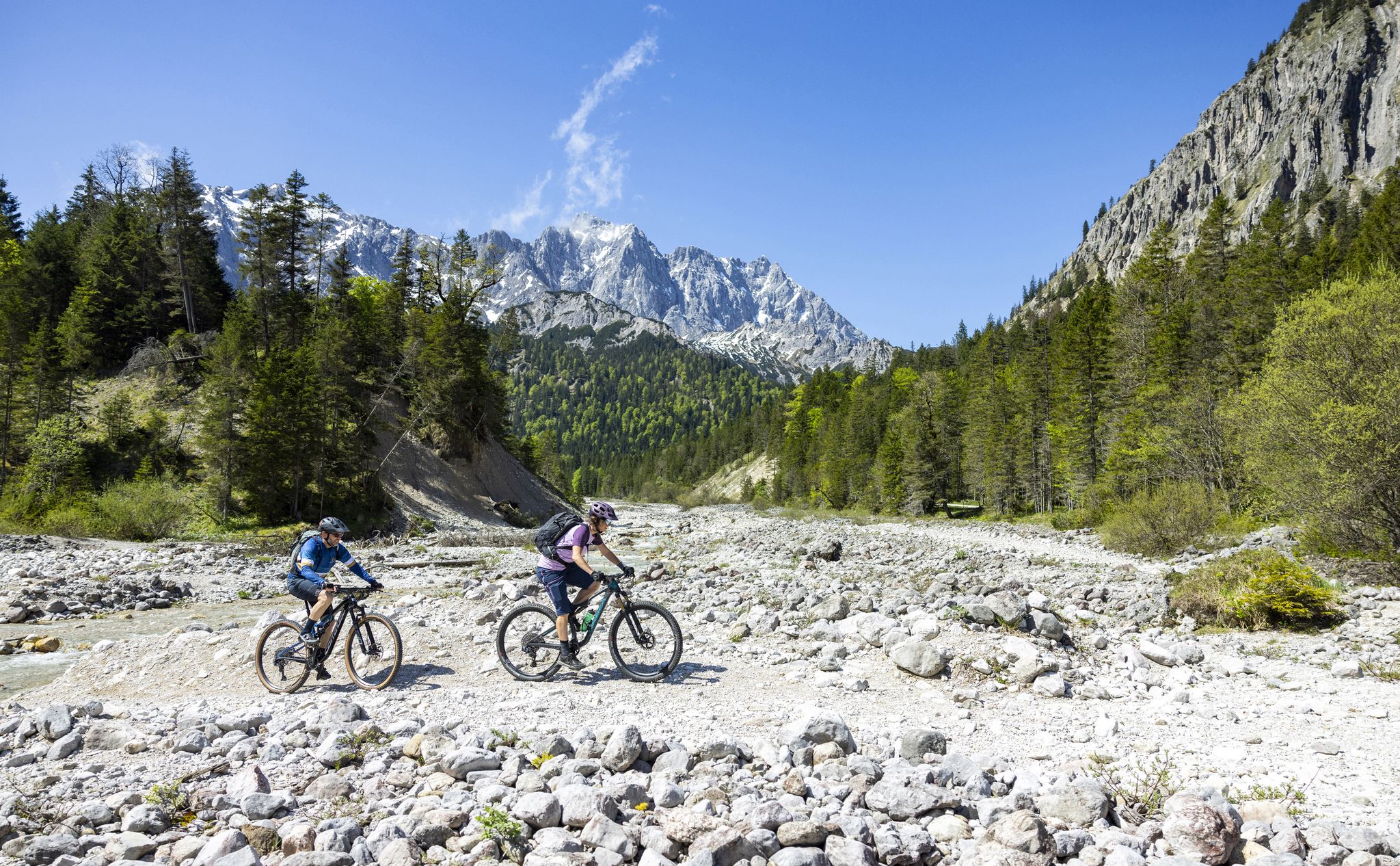
Trail guide Karwendel: In Elmar Moser’s footsteps
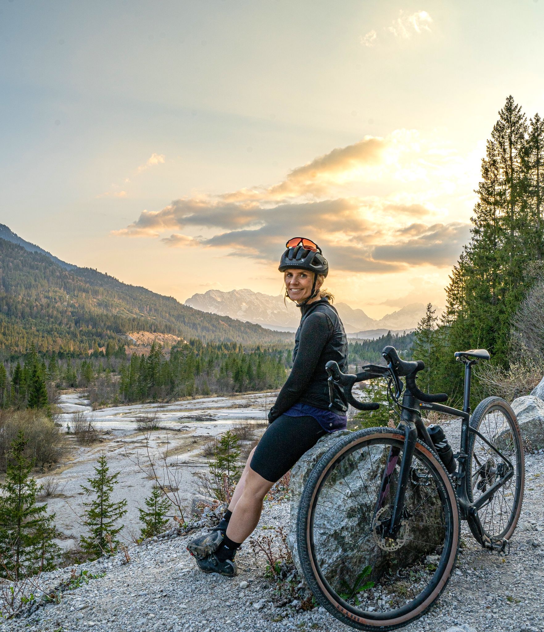
Sara's most beautiful gravel routes – gravel in Tölzer Land
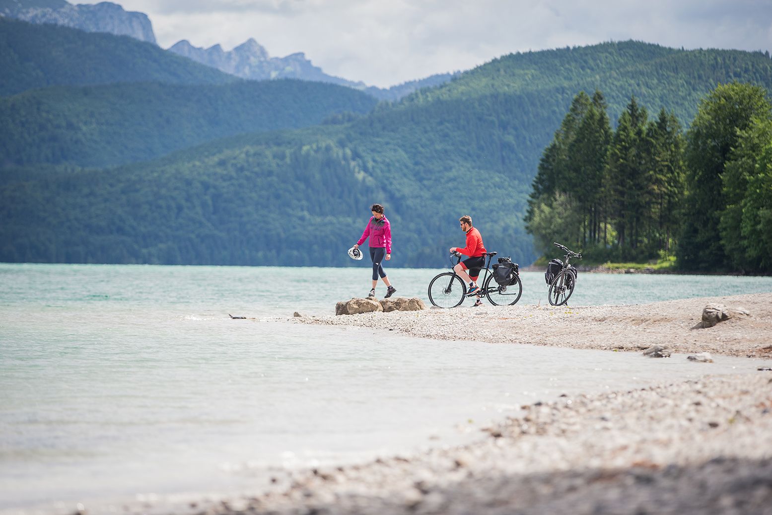
Ride through the countryside around Munich – Water-Cycle Paths
Triathlon around Germany
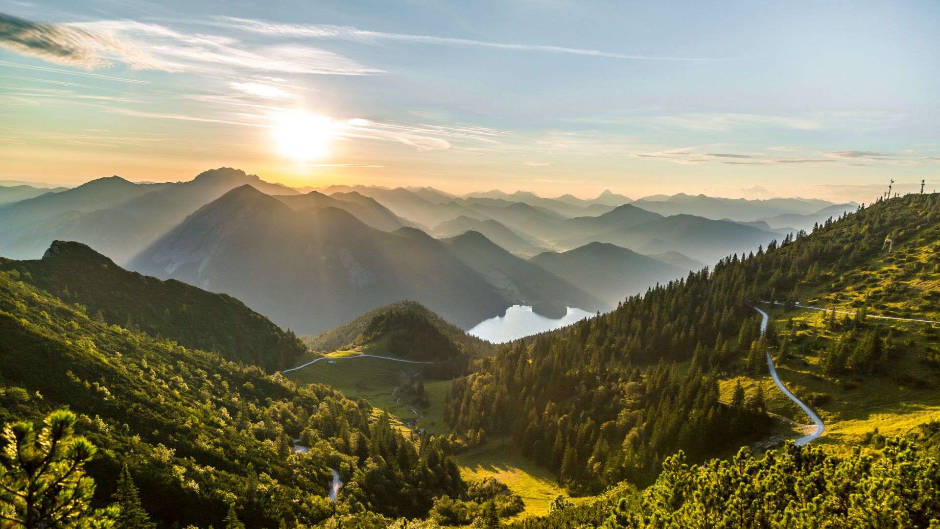
From lake to sea in the Tölzer Land
Other adventures around Lenggries


Tips from the Community

Particularly impressive is the view of the calm water surface, in which the surrounding mountains and the sky are reflected in the right light conditions. From the higher paths around Brauneck, Latschenkopf and Garlandalm, there are always beautiful perspectives of the lake and the surrounding mountain world.
4
0
The natural opening in the rock resembles a gate and stands out clearly from the surrounding rock formations.
6
0
Thanks to the favorable location and excellent thermal conditions, there is a lot of activity here on good flying days, as the colorful paragliders rise into the sky one after another.
5
0
The mighty limestone landscape forms a fascinating contrast to the gentler shapes of the Bavarian Prealps and shapes the horizon in an impressive way. Especially on clear days, the view extends far beyond the Isar valley deep into the Tyrolean Alps.
4
0
The Brauneck mountain station at an altitude of around 1,500 meters is the ideal starting point for numerous hikes and mountain tours in the Brauneck area. Thanks to the Brauneck mountain railway, visitors can reach the alpine landscape from the valley in just a few minutes and find themselves directly in front of an impressive mountain backdrop.
6
0
The panoramic view of the Karwendel is one of the most impressive sights to be enjoyed from Brauneck and the surrounding peaks. To the south, the mighty mountain scenery of the Karwendel range rises with its rugged rock faces, extensive plateaus, and striking mountain chains. The contrast between the gentle Bavarian Prealps in the foreground and the wild limestone mountains of the Karwendel gives the panorama a very special appeal.
4
0
The gently sloping alpine pastures form a charming contrast to the sometimes steeper ridge sections in the surrounding area. Hikers here experience the typical mix of open cultural landscape and alpine mountain panorama characteristic of the Bavarian Prealps.
4
0
The Latschenkopf (1,712 m) is one of the striking peaks on the panoramic ridge south of the Brauneck and a popular destination for hikers who want to explore the varied ridge landscape of the Bavarian Prealps. Its characteristic shape and open location make it an impressive eye-catcher along the ridge trail.
5
0
Frequently Asked Questions
How many hiking trails are available in Lenggries?
Lenggries offers a wide variety of hiking experiences, with over 390 routes recorded on komoot. These range from leisurely riverside strolls to challenging alpine ascents, ensuring options for every fitness level.
Are there easy hiking trails suitable for families with children in Lenggries?
Yes, Lenggries is very family-friendly. There are over 120 easy routes, many of which are accessible paths along the Isar River. These trails are perfect for relaxed walks with children, offering charming views without significant elevation gain.
Can I bring my dog on the hiking trails in Lenggries?
Generally, dogs are welcome on most hiking trails in Lenggries. However, it's always recommended to keep your dog on a leash, especially in nature protection areas, near livestock, or in crowded sections. Please remember to clean up after your pet.
Are there any circular hiking routes in Lenggries?
Yes, many of the trails in Lenggries are designed as circular routes, allowing you to start and end at the same point. For example, the moderate Sylvenstein Reservoir loop from Wilfertsau offers picturesque views around the reservoir.
What kind of mountain views can I expect on hikes in Lenggries?
Lenggries, nestled in the Bavarian Alps and at the gateway to the Karwendel, offers spectacular mountain views. Prominent peaks like Brauneck, Schafreuter, and Seekarkreuz provide breathtaking panoramas. A great example is the View from Latschenkopf – Brauneck Summit Cross loop from Wald-Wild-Schongebiet, which delivers expansive vistas from Latschenkopf and leads to the Brauneck Summit Cross.
Are there opportunities for winter hiking in Lenggries?
Yes, Lenggries is an excellent destination for winter hiking. Many trails, particularly around the Sylvenstein Reservoir and to popular huts like the Lenggrieser Hütte, remain accessible and offer stunning scenery through snow-covered valleys and mountains.
Are there places to eat or stay overnight along the hiking trails?
Yes, the hiking areas around Lenggries are dotted with numerous rustic Bavarian huts. These provide excellent opportunities for rest and enjoying traditional food and drinks. The ten typically Bavarian huts on Brauneck and the Lenggrieser Hütte are notable examples, offering a welcoming stop during your hike.
What are some notable landmarks or attractions to see while hiking in Lenggries?
Beyond the stunning natural landscapes, you can explore several interesting points. The local mountain, Brauneck, offers extraordinary views and traditional huts. You might also encounter mountain passes like Plums Saddle or Hirschtalsattel. The Sylvenstein Reservoir, often called 'Little Canada,' is also a beautiful sight.
What do other hikers enjoy most about the trails in Lenggries?
The komoot community highly rates the trails in Lenggries, with an average score of 4.4 stars from over 15,000 reviews. Hikers frequently praise the diverse landscapes, from alpine mountains to the serene Isar River and Sylvenstein Reservoir, as well as the well-maintained paths and the variety of options for all skill levels.
Are there any challenging hikes for experienced mountaineers?
Absolutely. For those seeking a challenge, Lenggries offers difficult hikes demanding very good fitness and alpine experience. The Geierstein summit loop from Lenggries is a demanding route leading to the Geierstein summit cross, offering rewarding panoramic views for experienced hikers.
How can I reach the trailheads in Lenggries using public transport?
Lenggries is well-connected, and many trailheads are accessible via public transport. The town itself serves as a central hub. It's advisable to check local bus and train schedules for specific routes to ensure convenient access to your chosen starting point.
Are there less crowded hiking options in Lenggries?
While popular spots like Brauneck can be busy, Lenggries offers many trails where you can find solitude. Exploring routes along the Isar River or venturing into the broader Karwendel area, especially during off-peak hours or seasons, can lead to a more tranquil hiking experience.
Most popular routes around Lenggries
Most popular attractions around Lenggries

Get inspired with the komoot mobile app


Explore more
Browse the best Hikes in other regions.
