The best road cycling routes around West Alton
5.0
(22)
65
riders
9
rides
Road cycling around West Alton features routes primarily along riverine landscapes, including the Missouri and Mississippi Rivers. The terrain is generally flat to gently rolling, with minimal significant elevation changes, making it accessible for various skill levels. The region is characterized by open plains and agricultural areas, with routes often following scenic riverfronts.
Best road cycling routes around West Alton
- The most popular road cycling route is Missouri River loop, a 46.1 miles (74.3 km) trail that takes 3…
Last updated: May 11, 2026
74.3km
03:04
260m
260m
Moderate road ride. Good fitness required. Mostly well-paved surfaces and easy to ride.
42.7km
02:09
270m
270m
Moderate road ride. Good fitness required. Mostly well-paved surfaces and easy to ride.

Sign up for free
13
riders
78.7km
03:39
230m
230m
Moderate road ride. Good fitness required. Mostly well-paved surfaces and easy to ride.
11
riders
Easy road ride. Great for any fitness level. Mostly well-paved surfaces and easy to ride.
8
riders
Moderate road ride. Great for any fitness level. Some segments of this route may be unpaved and difficult to ride.
Get access to more routes and recommendations from other explorers.
Sign up for free
Already have an account?
Our route recommendations are based on thousands of hikes, rides, and runs completed by other people on komoot.
Start today with a free account
Your next adventure awaits.
Login or Signup
Popular around West Alton

Tips from the Community

The MCT Confluence Trail is a beautiful 20.5 mile long trail. The trail mostly follows the Mississippi River. The trail is paved and mostly flat, so it is not a challenging trail. This section gives you great views of the river as you enter Alton.
1
0
Riverfront Park is a great park on the banks of the Mississippi River in Alton. There is a paved biking and hiking trail that runs through the park. The park also has a large amphitheater, picnic area and restrooms.
1
0
The Piasa Bird is a creature from Native American mythology that was painted on the cliffside above the Mississippi River. The original depiction of the Piasa Bird no longer exists, so this is a 20th century recreation that sits several hundred yards from where the original image was found.
1
0
The Sam Vadalabene Trail is a 20 mile paved trail from Grafton to Alton. The trail follows along the Mississippi and gives you great views of the river. The trail also connects several parks and you pass through several communities, so you have multiple choice for spots for a break.
1
0

Come here to take the Grafton Ferry. Also many great restaurants / bars around that area.
0
0
Riding along the northern edge of the airport. There are broad shoulders that are dedicated as bike paths.
0
0
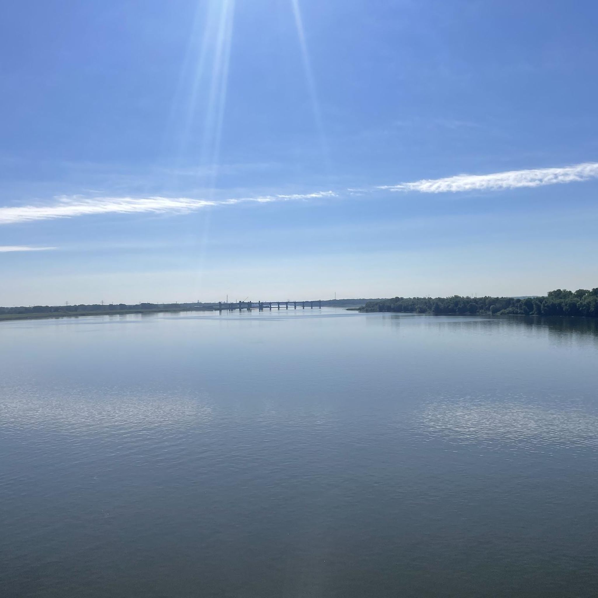
A well-protected bike path that runs parallel to the highway. Here, you can catch great views of the Missouri River.
0
0
Frequently Asked Questions
How many road cycling routes are available in West Alton?
West Alton offers a selection of 14 road cycling routes. These include 9 easy routes and 5 moderate routes, catering to various skill levels.
Are there easy road cycling routes suitable for beginners or families in West Alton?
Yes, West Alton is well-suited for beginners and families, featuring 9 easy road cycling routes. A great option is the Roadbike loop from Wanda, which is 24.9 miles (40.1 km) long and has minimal elevation gain, making it very accessible.
Can I find circular road cycling routes in West Alton?
Many of the road cycling routes in West Alton are designed as loops, offering convenient circular journeys. Popular options include the Missouri River loop and the Florissant and Mississippi River Trail Loop, both providing scenic circular rides.
What scenic viewpoints or attractions can I see while road cycling in West Alton?
The routes in West Alton often follow riverfronts, offering extensive views of the Missouri and Mississippi Rivers. You can also encounter notable landmarks such as the historic Old Chain of Rocks Bridge and the Confluence Tower and the Lewis & Clark Monument, which are great points of interest along your ride.
Are there places to stop for refreshments or cafes along the road cycling routes?
While many routes traverse open plains, some areas offer opportunities for refreshment. For example, the Luna Cafe (Route 66) is a notable stop in the vicinity, perfect for a break during your ride.
What is the best time of year for road cycling in West Alton?
The best time for road cycling in West Alton is typically during the spring and fall months. These seasons offer milder temperatures and comfortable conditions for riding along the riverfronts and open plains. Summer can be warm, but early mornings are still pleasant.
How long do road cycling routes in West Alton typically take to complete?
The duration of road cycling routes in West Alton varies depending on the distance and your pace. Easy routes like the Grafton Ferry Pier loop from Blue Pool can take around 2 hours, while longer moderate routes such as the Grafton Ferry Pier loop from Alton might take closer to 3.5 hours.
What do other road cyclists enjoy most about the routes in West Alton?
The road cycling routes in West Alton are highly rated by the komoot community, with an average score of 4.9 stars from over 50 reviews. Cyclists frequently praise the extensive river views, the generally flat to gently rolling terrain, and the peaceful atmosphere of the open plains and agricultural areas.
Are there any challenging road cycling routes for experienced riders in West Alton?
The road cycling routes in West Alton are primarily easy to moderate, characterized by flat to gently rolling terrain. While there are no routes classified as 'difficult' in the area, experienced riders can enjoy longer distances, such as the 46.1-mile Missouri River loop, to extend their challenge.
Where can I find parking for road cycling routes in West Alton?
Parking availability in West Alton often depends on the specific starting point of your chosen route. Many riverfront access points and local parks provide parking facilities. It's advisable to check local maps or route descriptions for designated parking areas near your desired starting location.
Are there any hidden gem road cycling trails near West Alton?
While not a 'hidden gem' in the traditional sense, the Chouteau Island Country Road offers a unique cycling experience away from more frequented paths, providing a tranquil ride through a distinct riverine landscape.
Most popular routes around West Alton
Most popular attractions around West Alton

Get inspired with the komoot mobile app


Explore more
Browse the best Road cycling routes in other regions.
